heron's rest to dittisham
DART VALLEY TRAIL
SATURDAY, 4TH MAY 2024
Start location: Heron’s Rest (SX 87912 54748)
End point: Heron’s Rest (SX 87912 54748)
Map: Explorer OL20
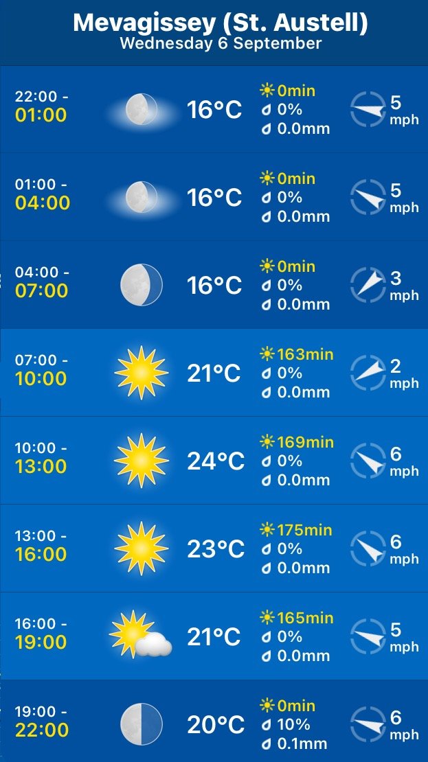
It has been a shocking year so far and has felt like it is constantly chucking it down but the weather forecast looks pretty good today although it’s not going to be particularly warm.
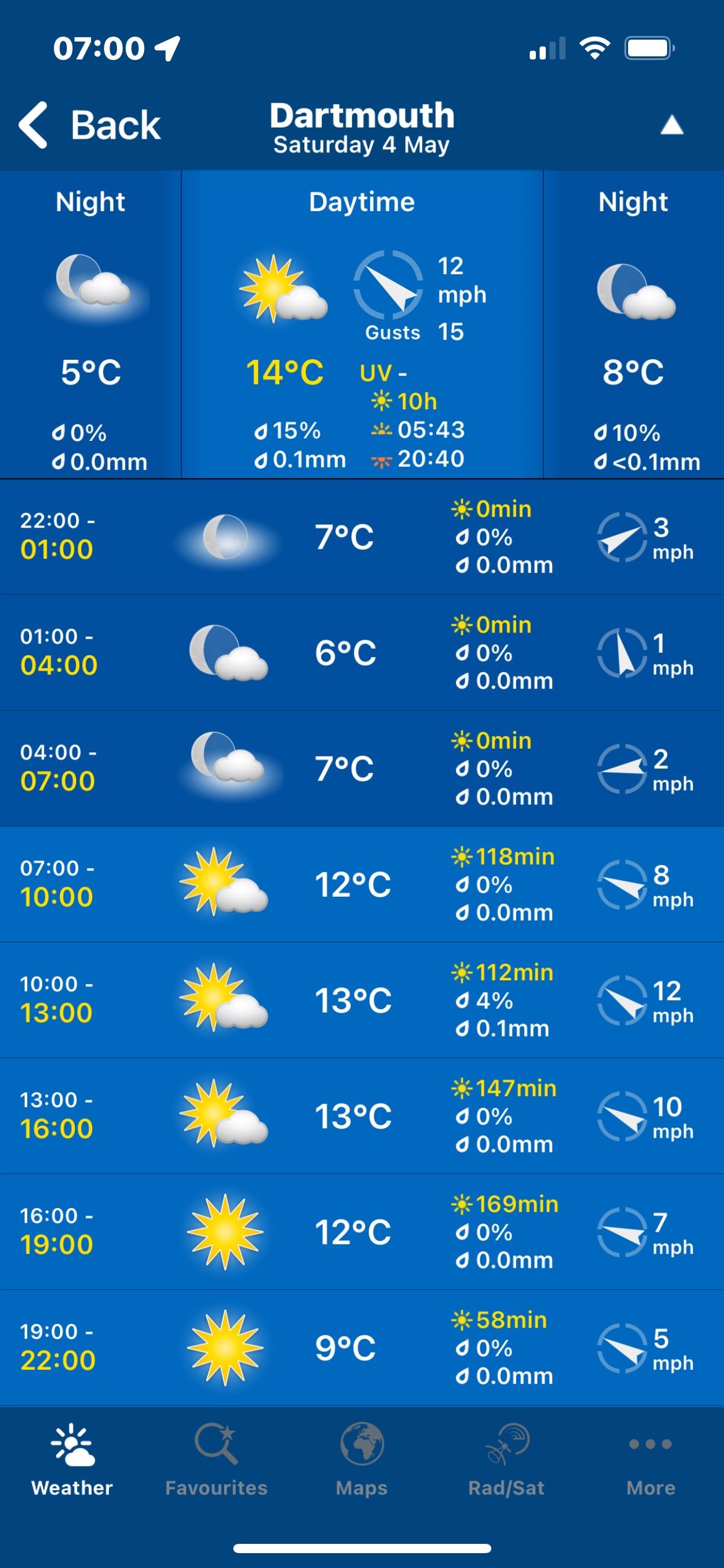
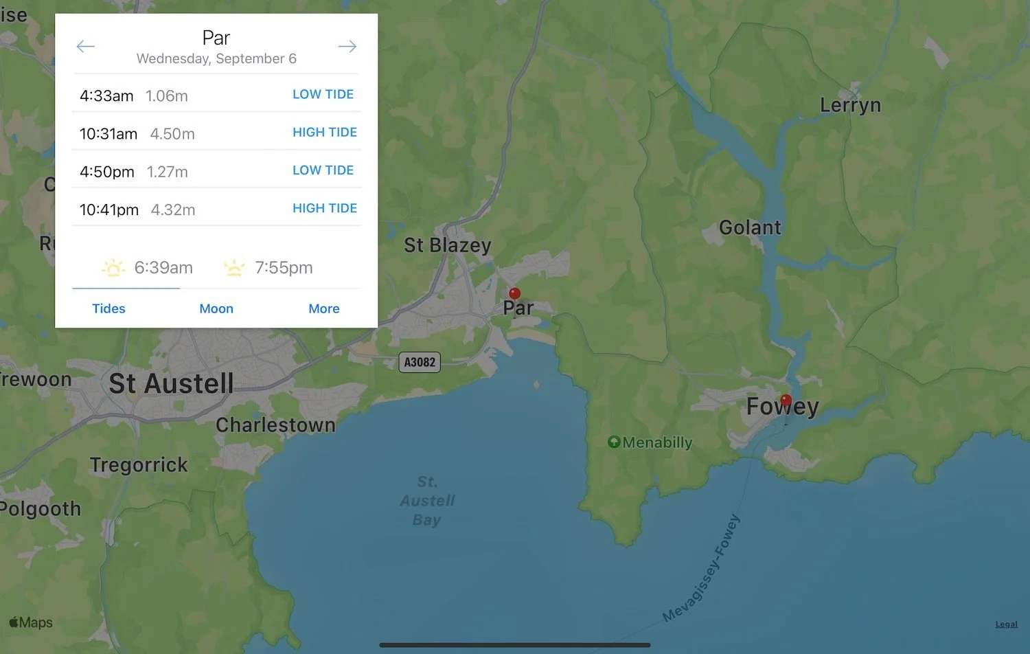
Dartmouth low tide 09:26
Dartmouth high tide 16:02

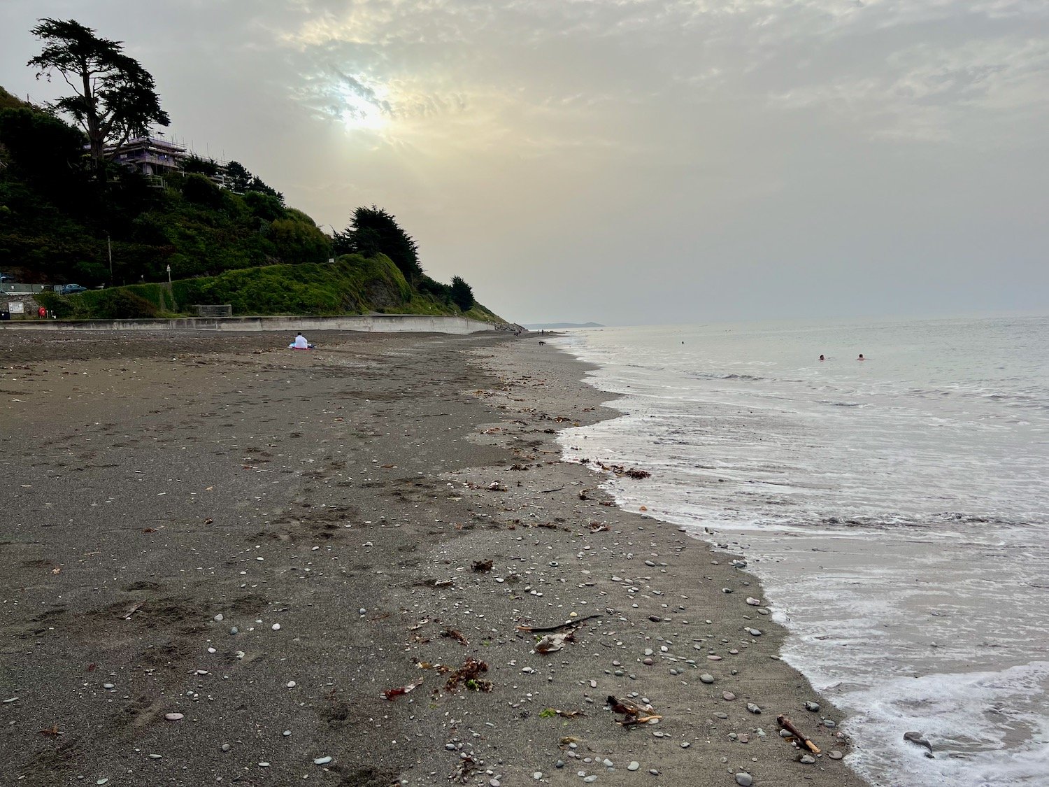
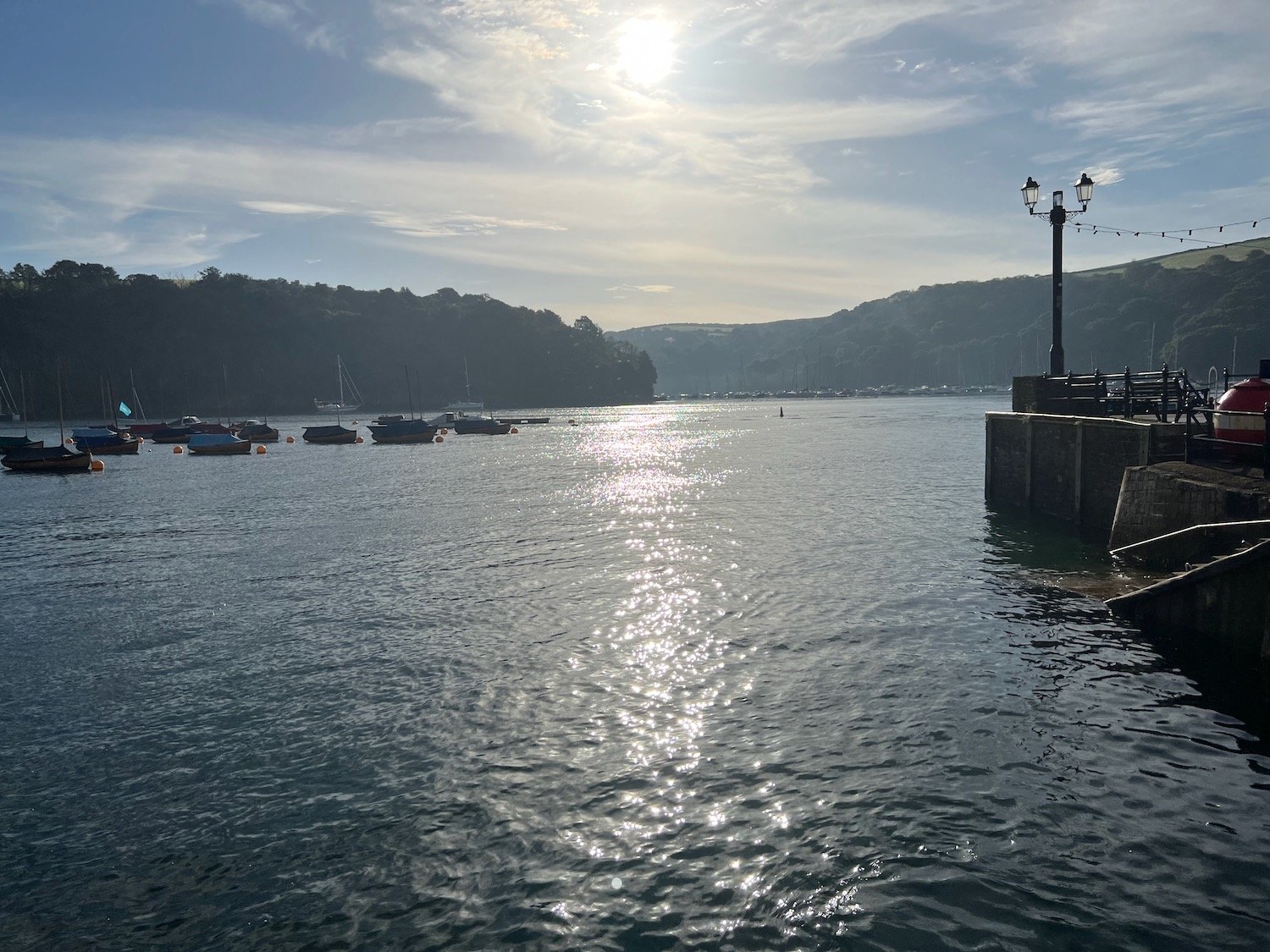
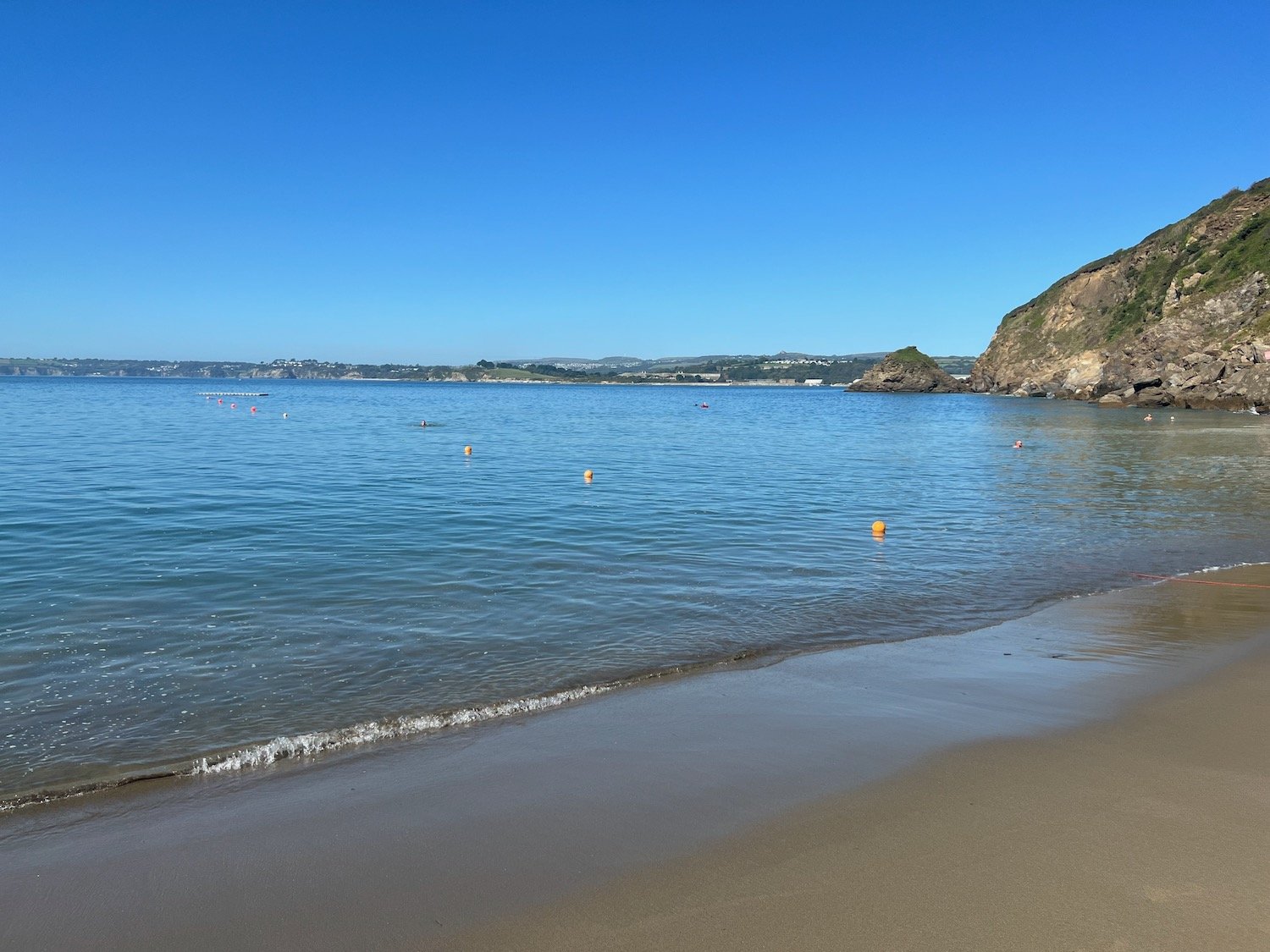
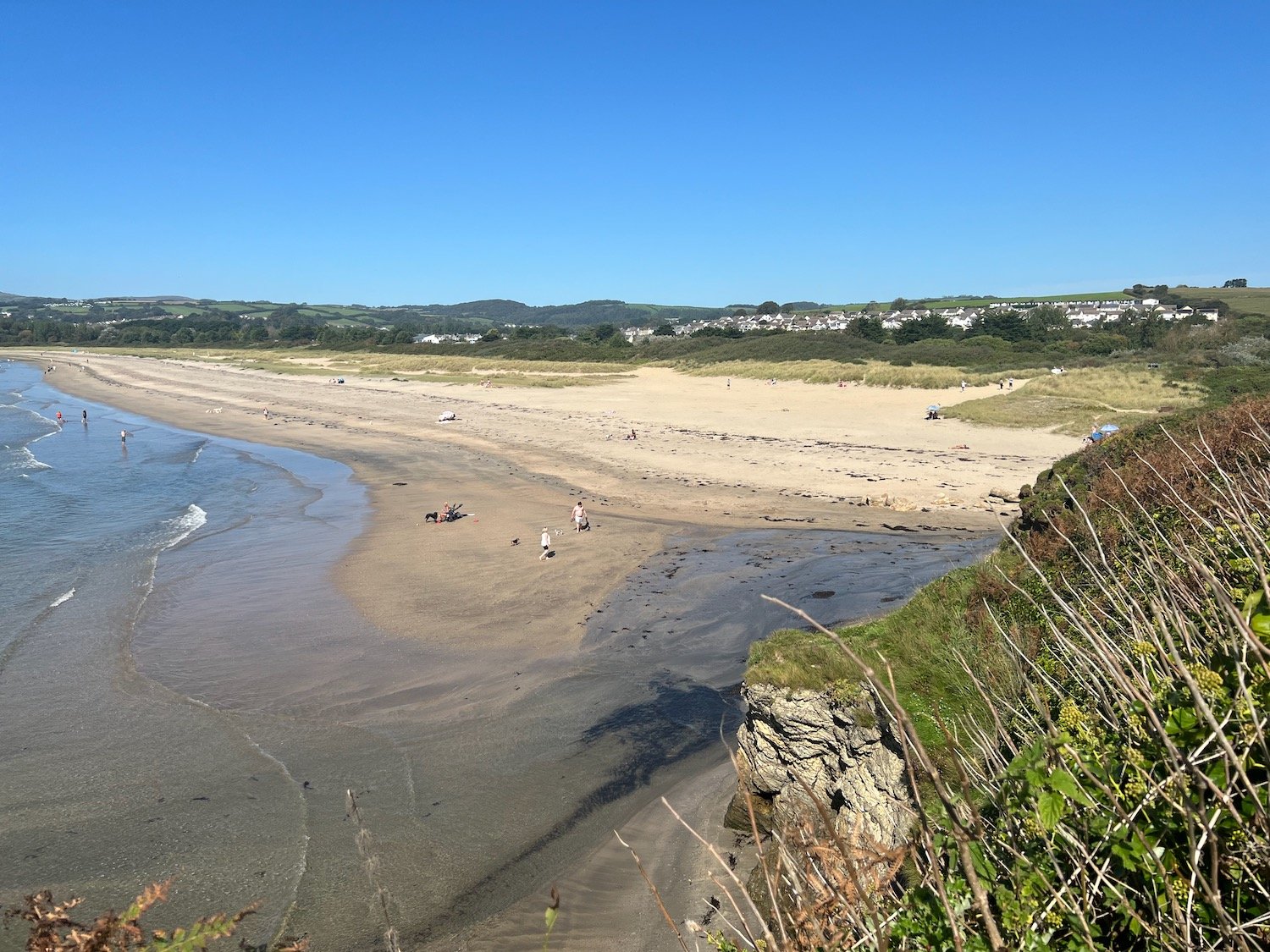
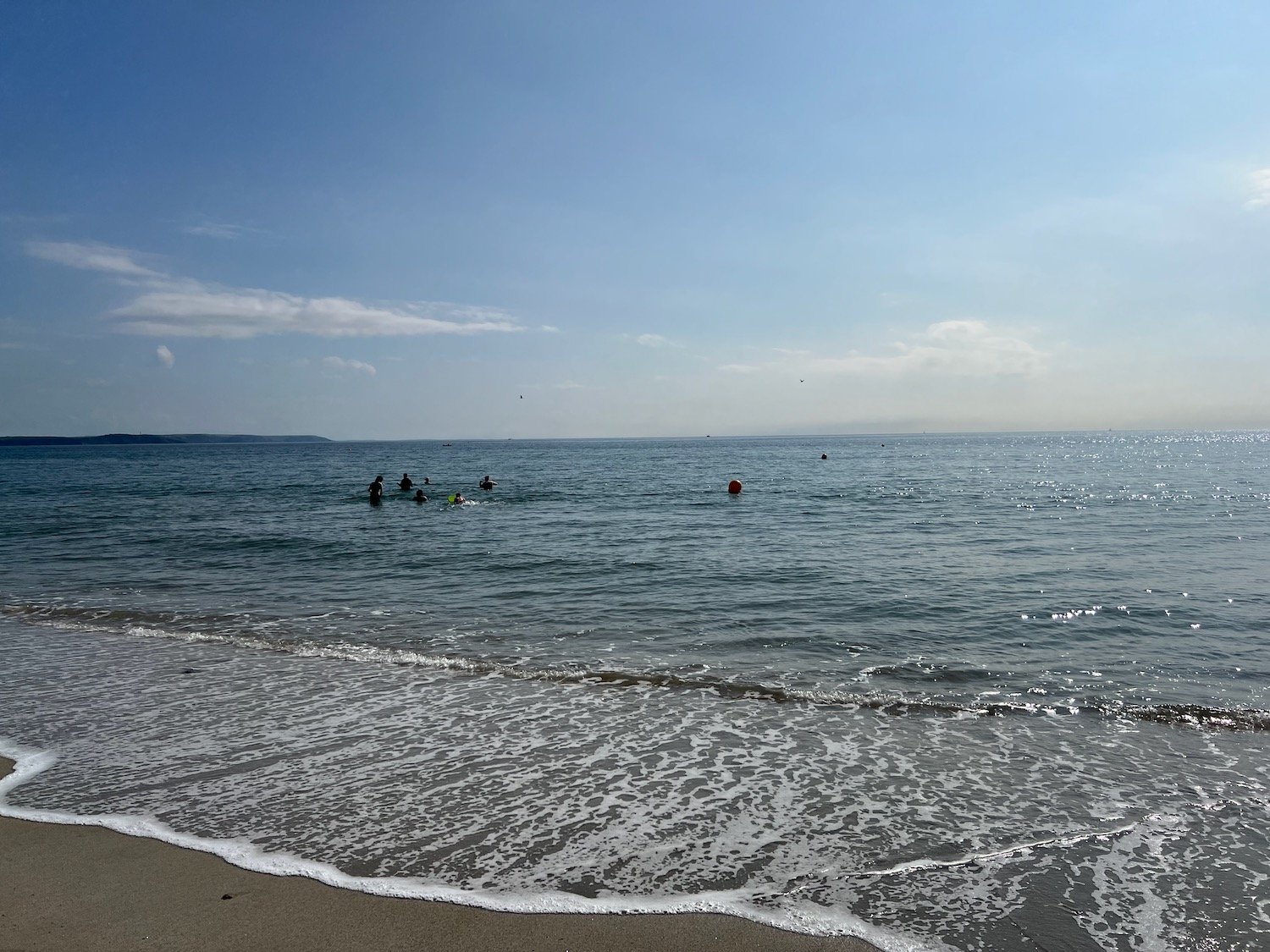
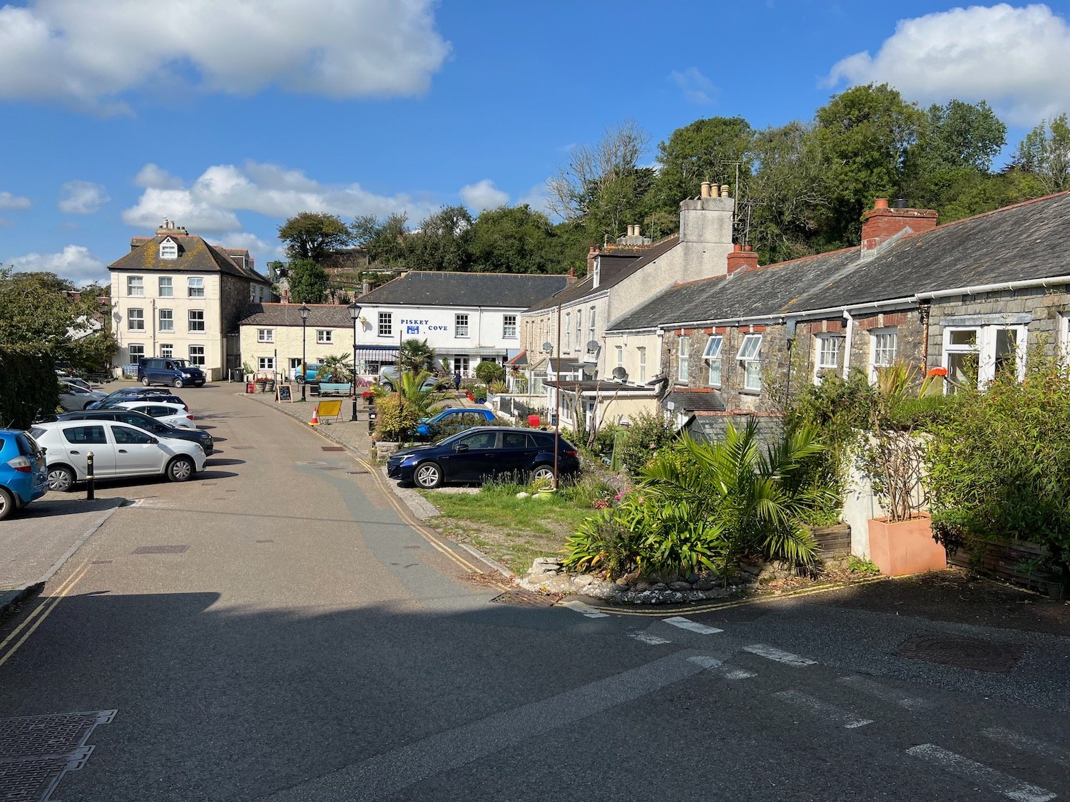
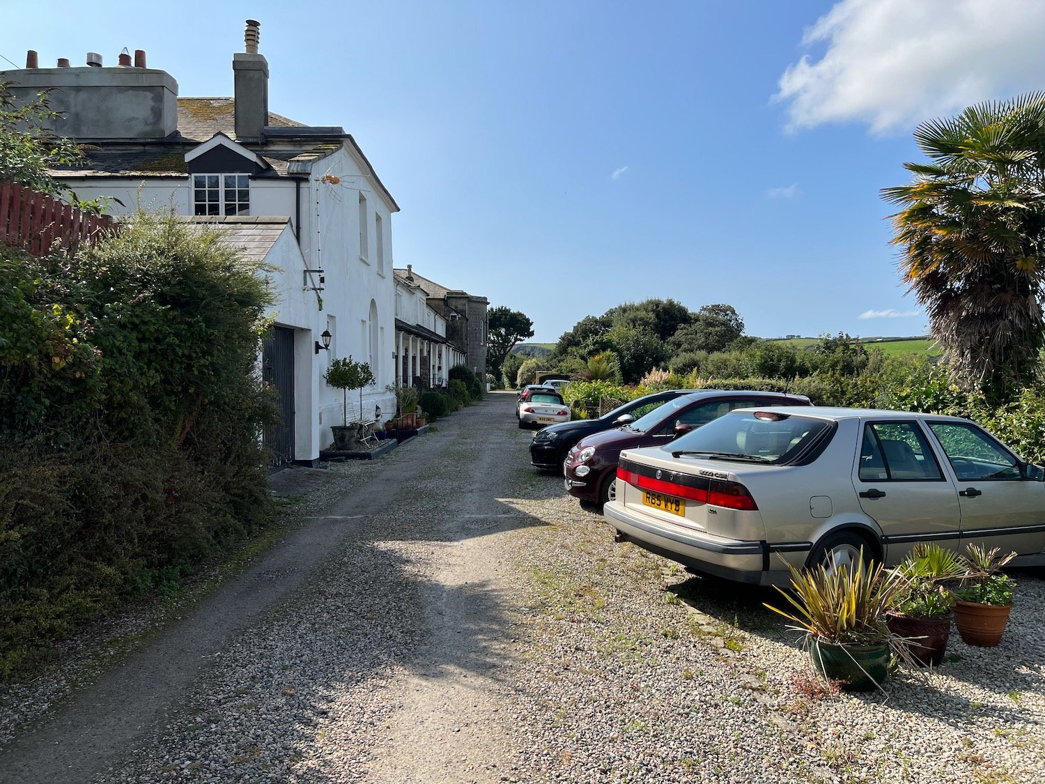
I start the day at our holiday cottage, Heron’s Rest, set high above the River Dart and Dartmouth. It is a misty start to the morning.
the view from heron’s rest
I leave the cottage and head along the road before heading along a track beside some cottages. A signpost tells me that it is three and a half miles to Kingswear.
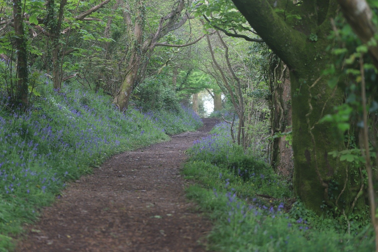
I walk alongside a field before climbing a stile which takes me into Long Wood which is largely owned by the National Trust.
long wood
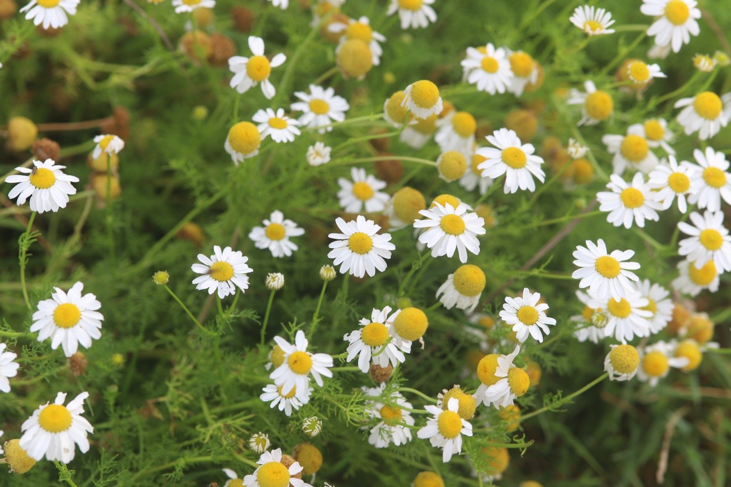
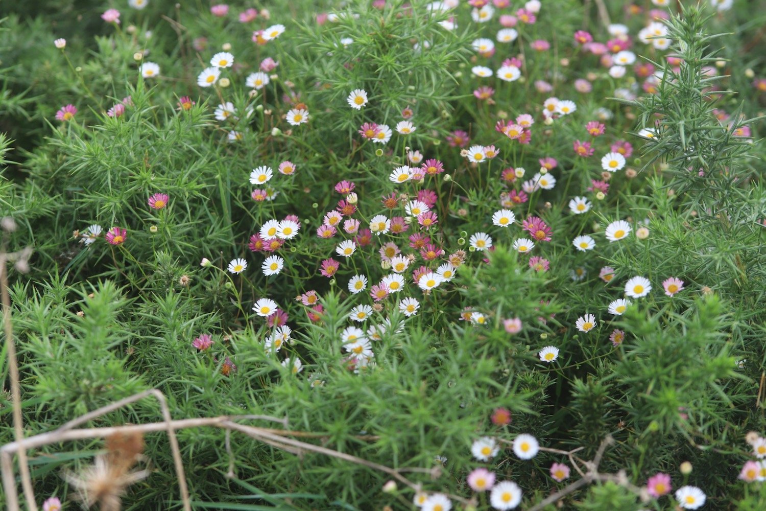
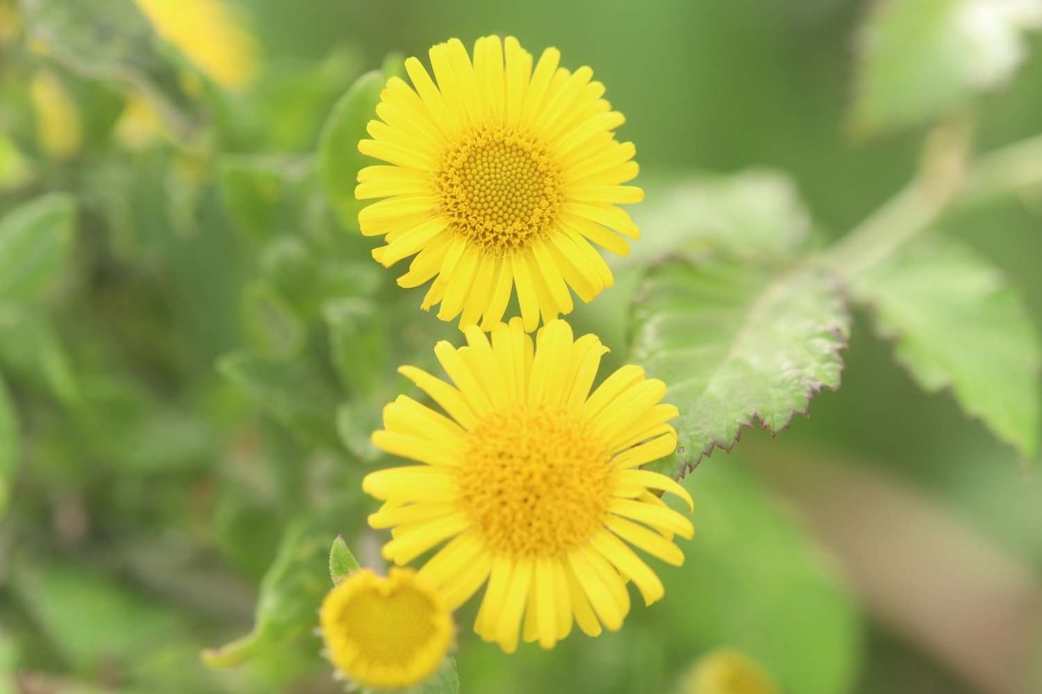
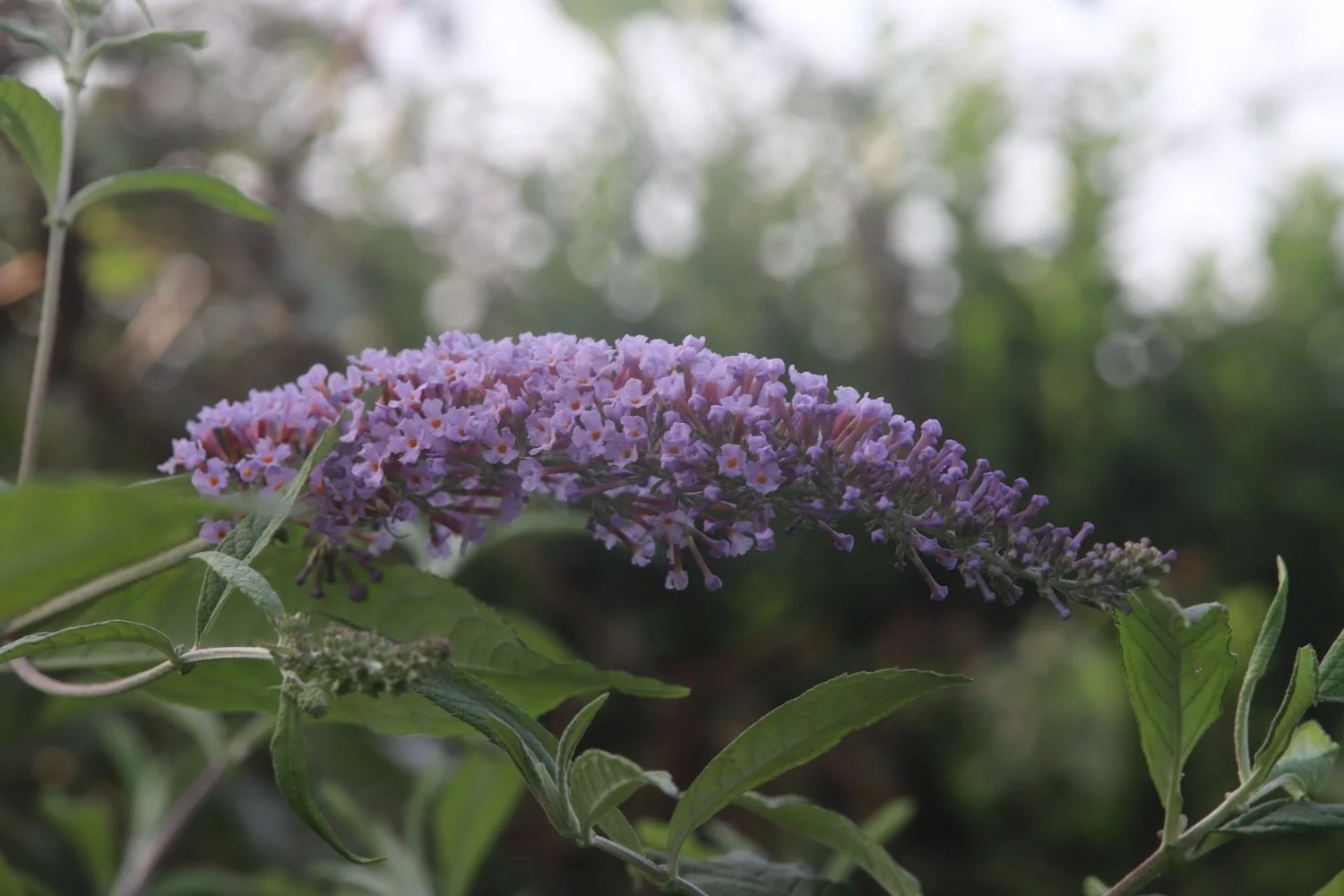
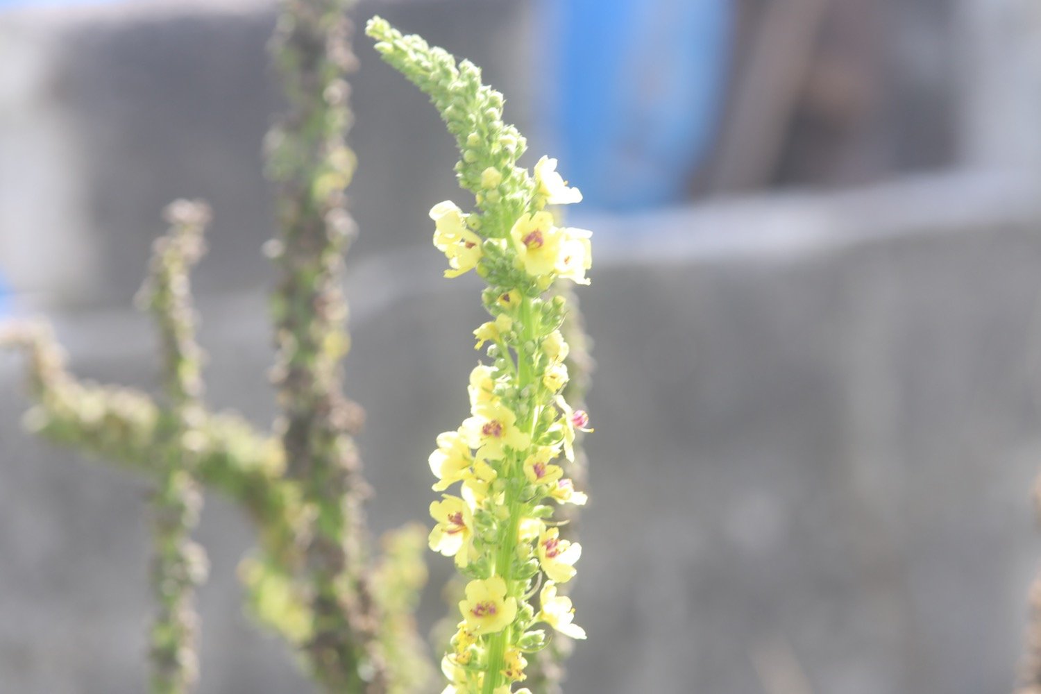
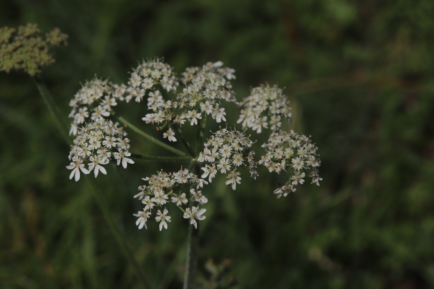
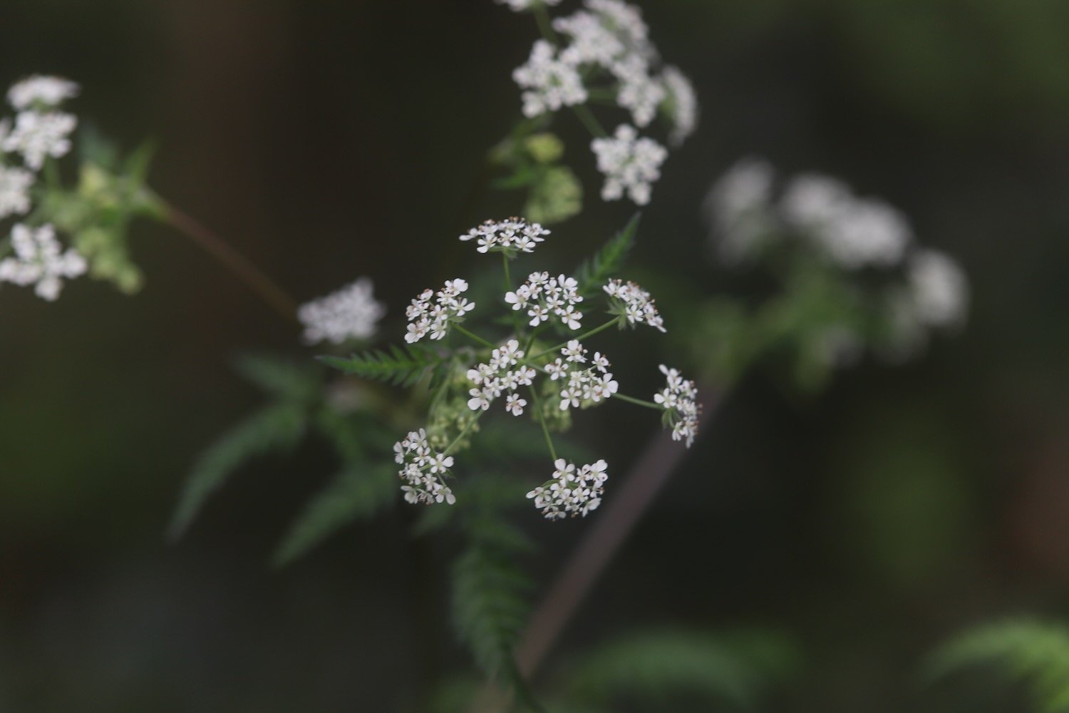
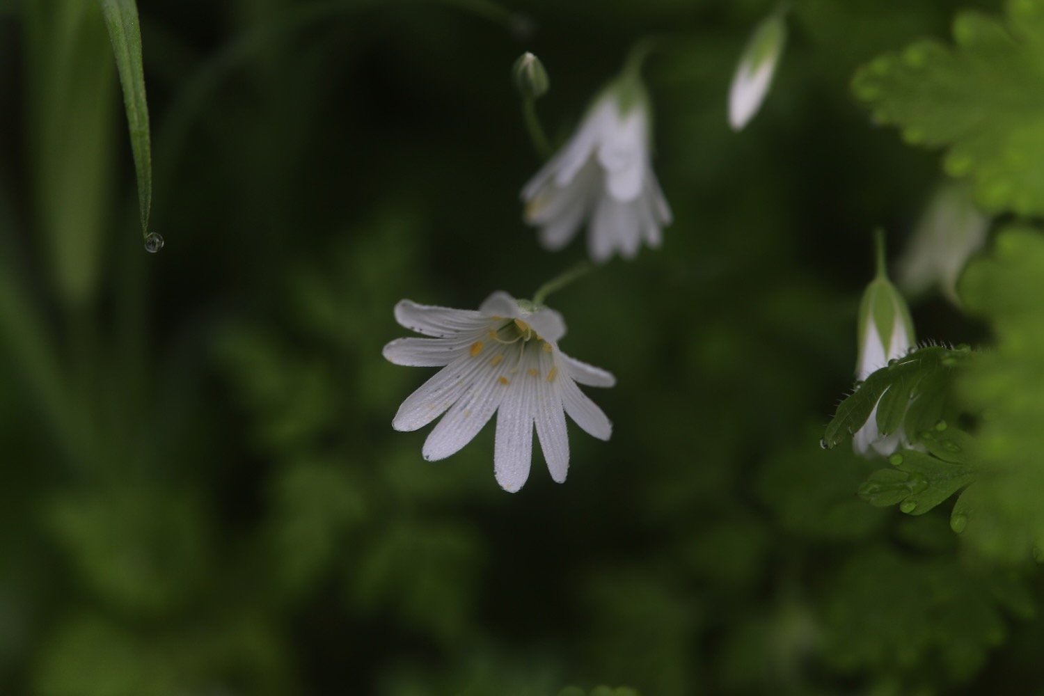
The wildflowers in the hedgerows are looking at their finest.


Near to the start of Long Wood I come across a patch of dreaded Japanese knotweed. It’s never nice to see this but it doesn’t seem to have spread further than the last time I was here, five years ago.
japanese knotweed
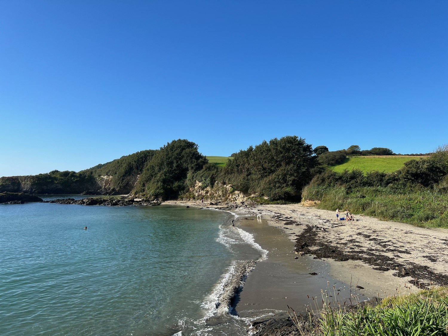
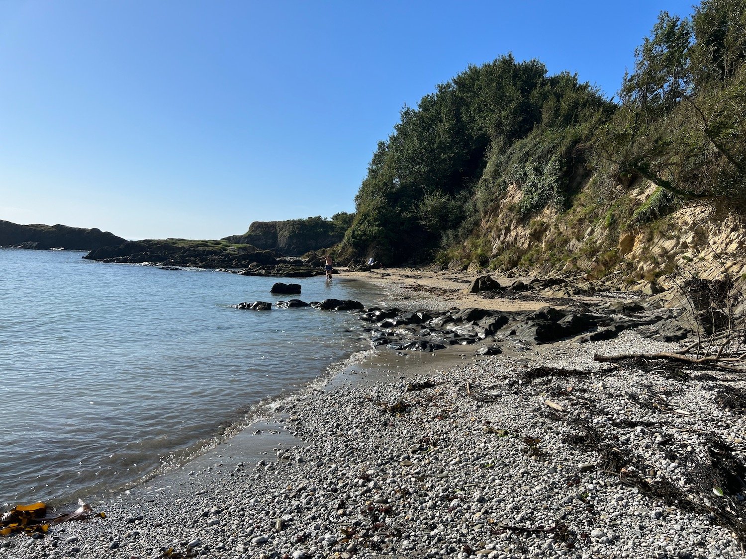
I amble down through the wood enjoying the masses of bluebells and other wildflowers and I have fleeting views of the River Dart and its creeks.
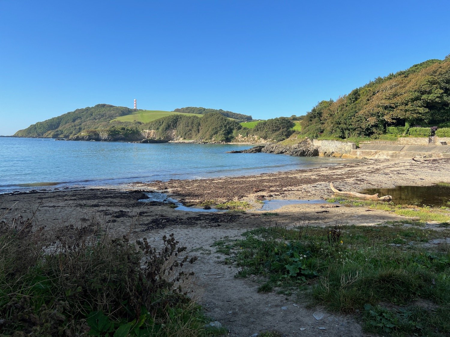
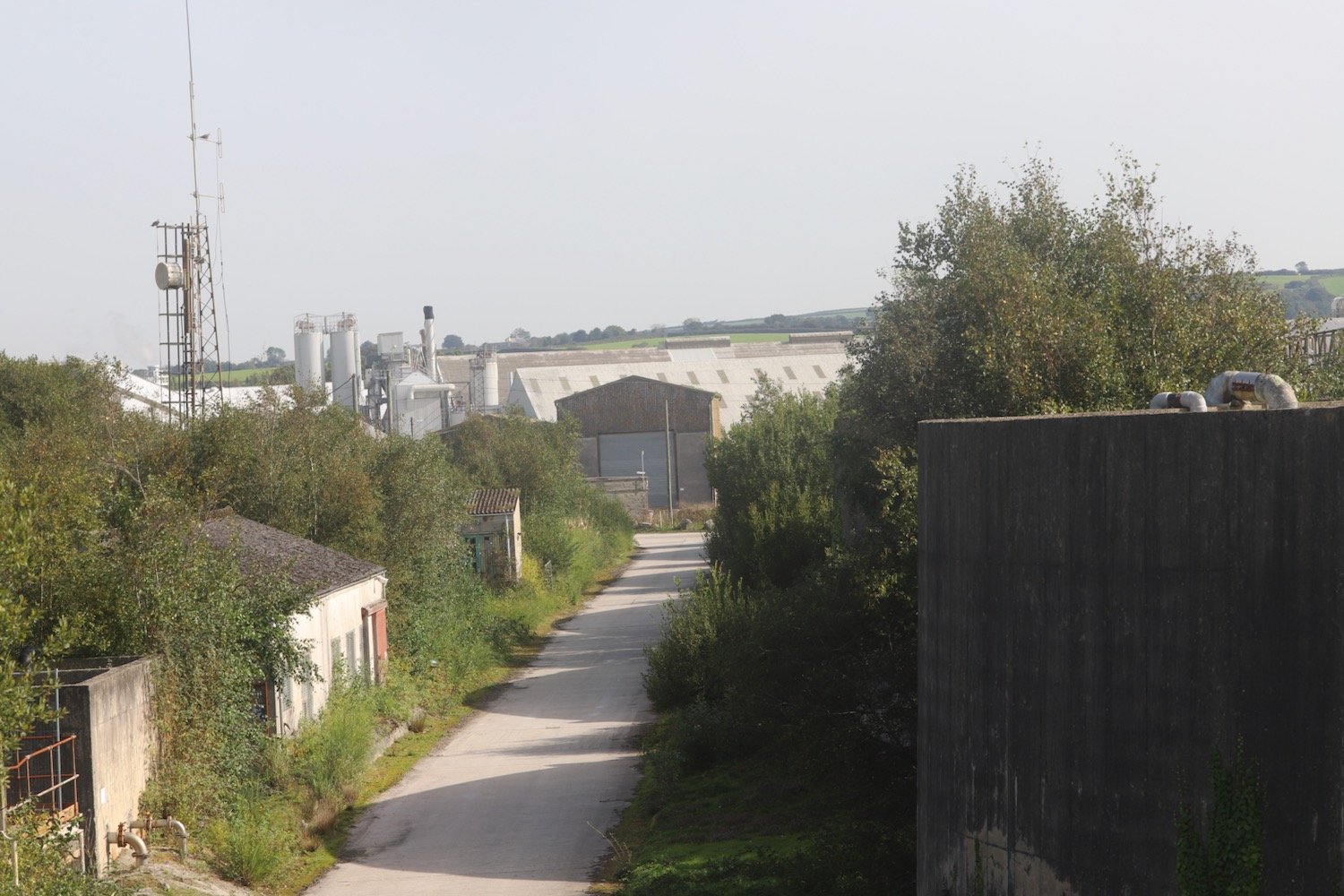
I leave the wood and briefly join the road down to Noss. Phillip and Son Shipyard used to be located here until 1999 and is now the home to Noss Marina. It is very expensive to acquire a yacht. Swallows are flying all around the marina.
The shipyard was attacked by German bombers on the 18th of September 1942, killing 20 men and women who were building military vessels to assist in the war effort. A memorial stone here in honour of the people who lost their lives during the bombing had been in storage for five years but has now been fully restored and put back next to the marina. It’s not particularly easy to find but I eventually found it.
“THOSE WHO LOST THEIR LIVES ON 18 SEPTEMBER 1942
Frederick Clarence Adams, aged 22
John Richard Ash, aged 21
David Bott, aged 29
Jack George Charles Bustin, aged 52
Rosie Annie Crang, aged 20
Thomas Farr, aged 58
Richard Franklin, aged 26
Lionel Edgar Holden, aged 44
Walter Lewis, aged 40
George Herbert Frank Little, aged 17
Henry James Luckhurst, aged 70
John Martin, aged 48
Ernest Poole, aged 51
Sydney James Alfred Pope, aged 17
Hubert Ernest William Putt, aged 37
Ewart Edgar Trant, aged 27
Nella Eileen Trebilcock, aged 28
Samuel James Veale, aged 21
Frederick Thomas Skinner Vickery, aged 28
Hazel Joan Weaver, aged 20”
memorial stone
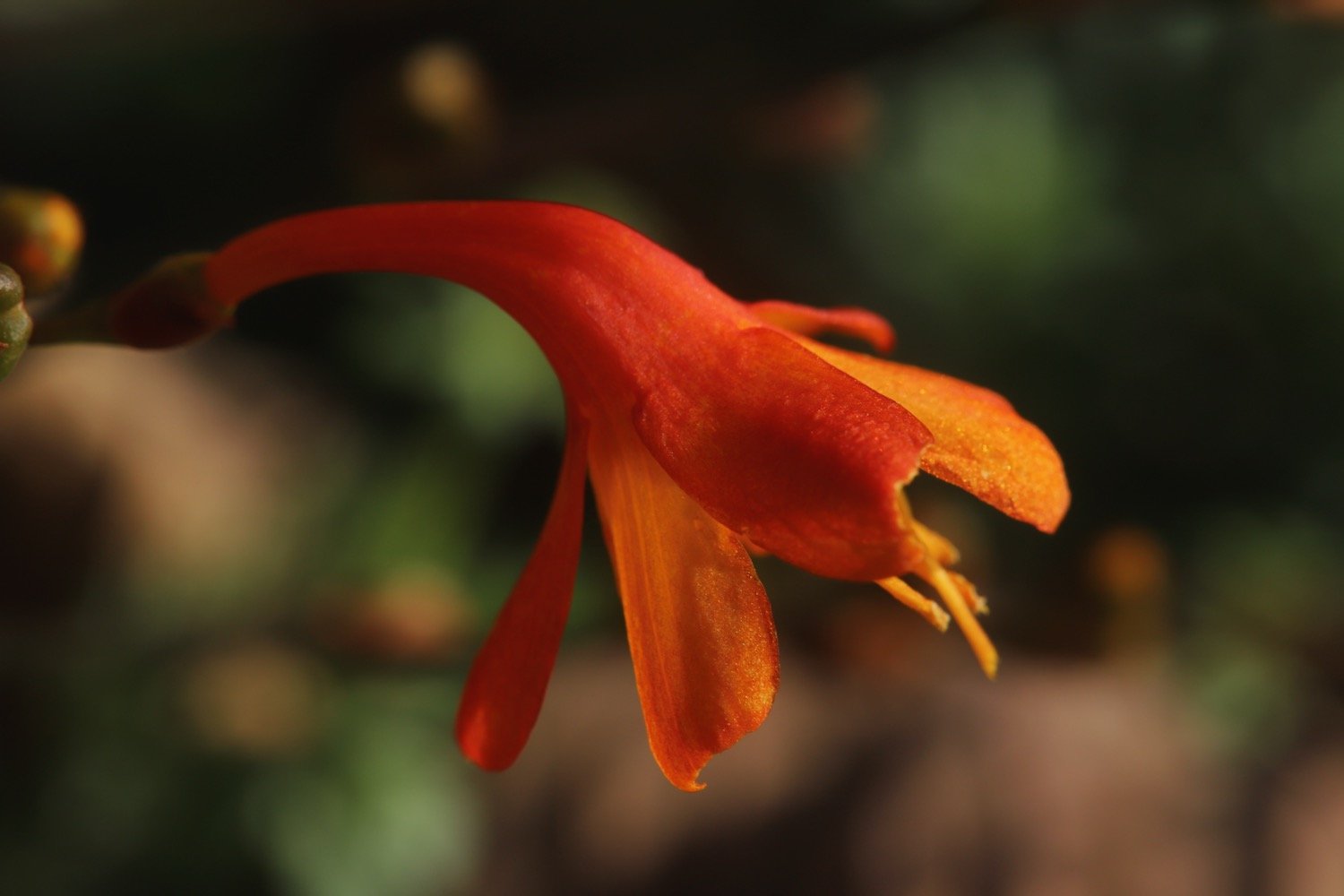
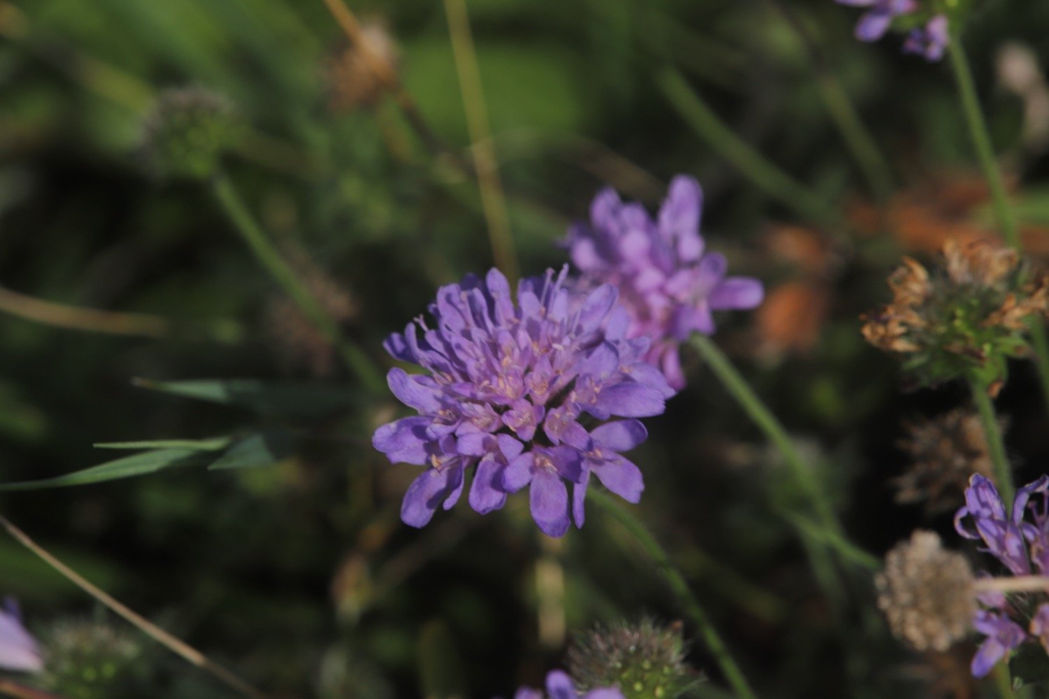
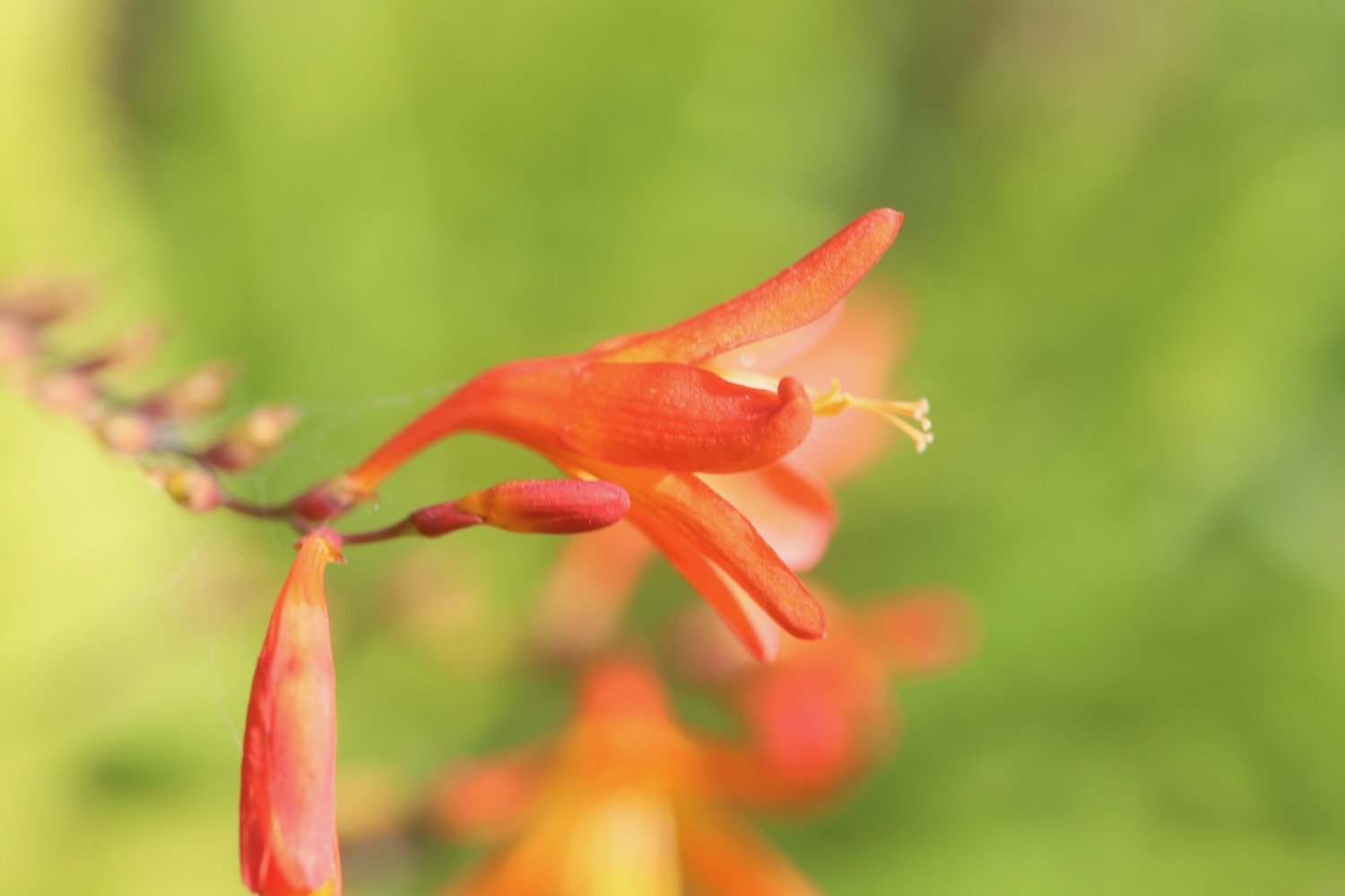
I retrace my steps and cross a road and pass Coombe Cottage before continuing along the path towards Kingswear. I come across a lone early purple orchid. There used to be a lot more around here.
early purple oirchid
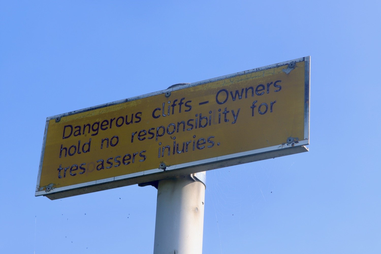
A sign warns me about killer pine cones! I joke but the cones are monsters and could do some serious damage if one lands on your head.
killer pine cones
I now have magnificent views over Dartmouth. Unfortunately my camera seems to be playing up today and the photoes are all overexposed for some reason.
I drop down to the road that takes me to Dartmouth Higher Ferry.
I join the railway track of the Paington to Kingswear Railway and follow the railway track in to Kingswear. As I reach Kingswear I have a lovely view of the steam train passing by me.
steam train
I follow the footpath over a footbridge above the railway line and into Kingswear where I pass the Steam Packet Inn, the Ship Inn and the railway station.
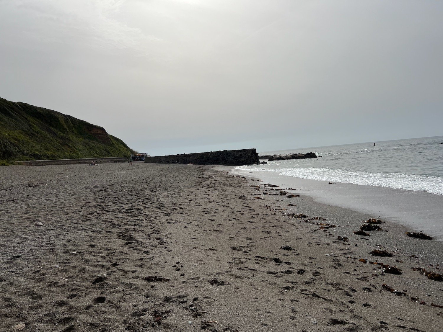
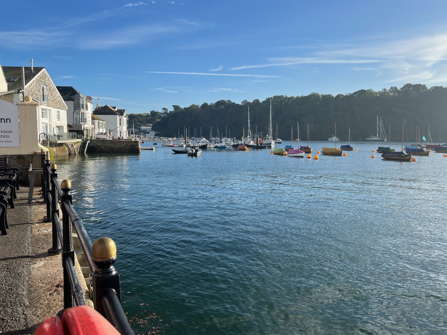
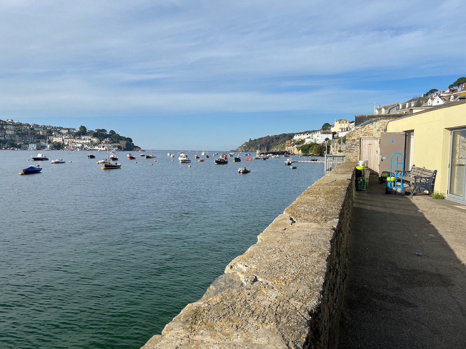
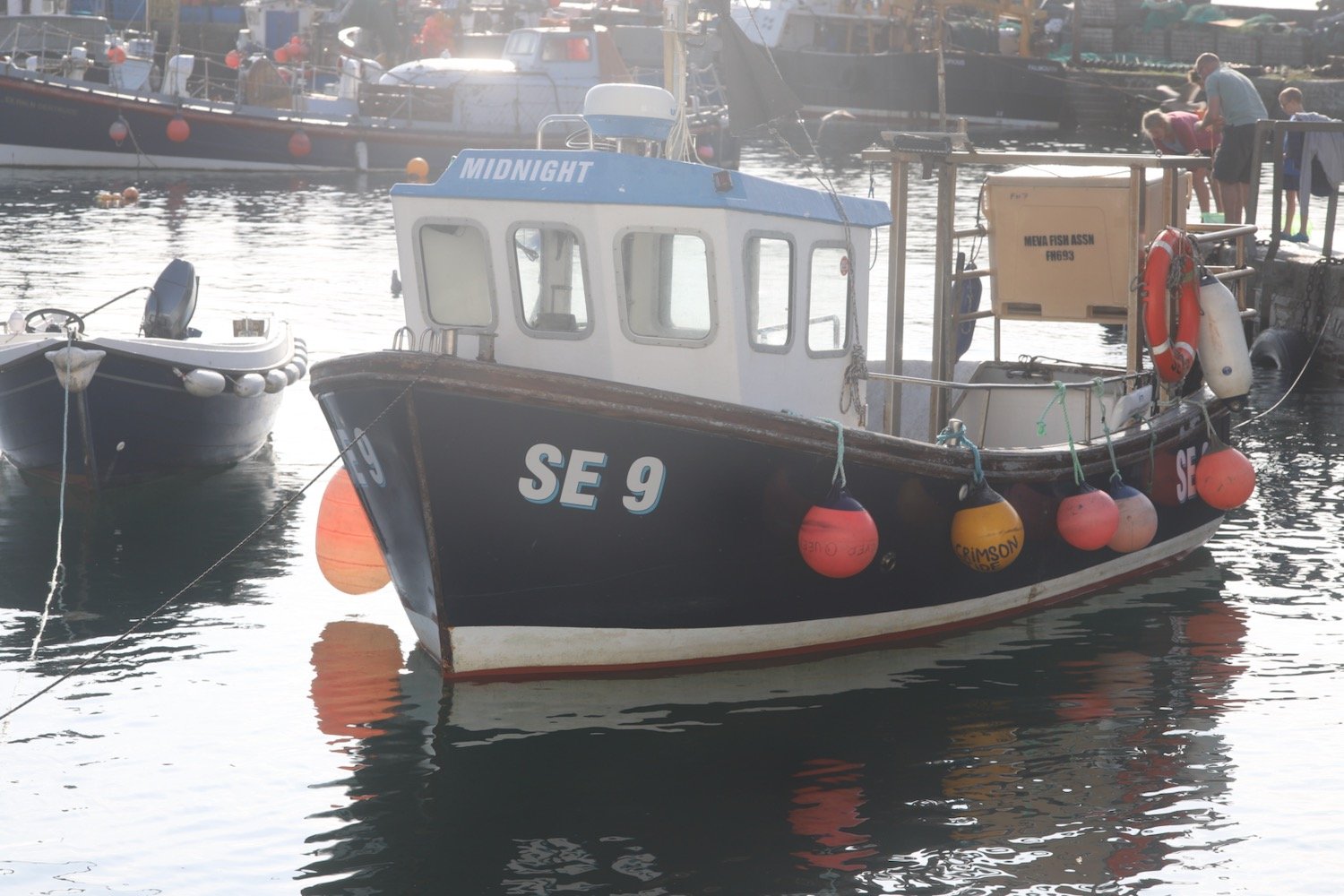
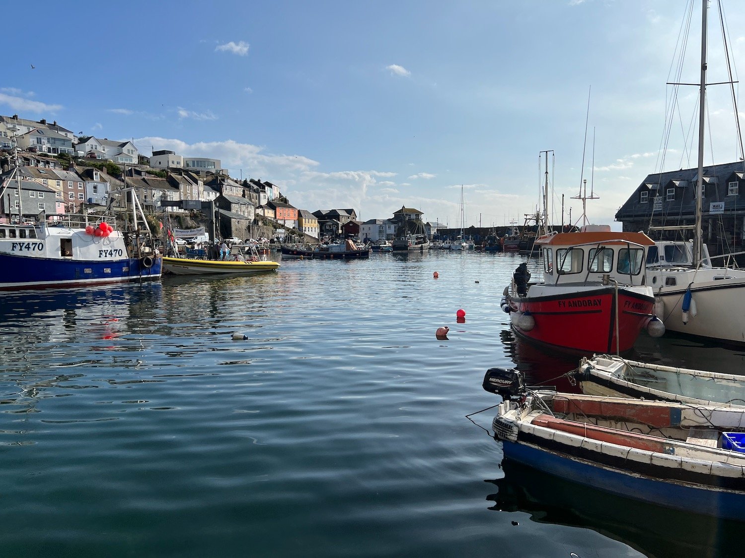
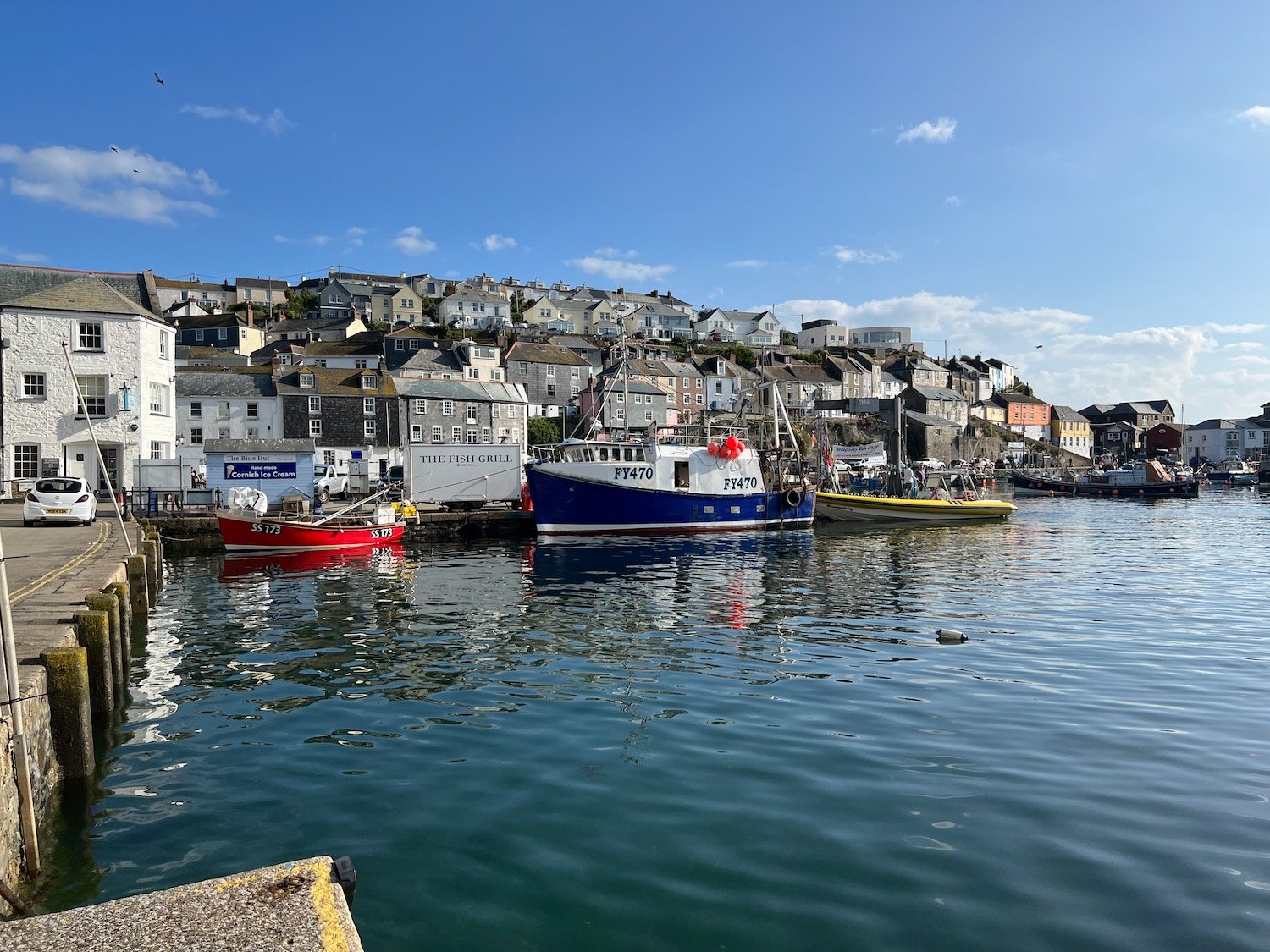
Here I take the Dartmouth Lower Ferry over to Dartmouth. It costs me the princely sum of £2.00.
dartmouth lower ferry
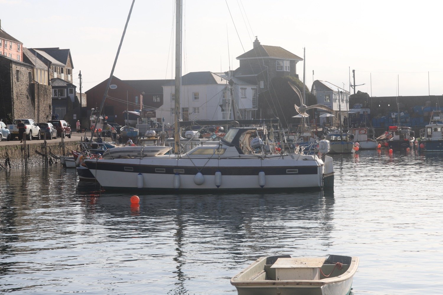
The crossing offers lovely views of Dartmouth, Kingswear, Britannia Royal Naval College, Dartmouth Castle and the open sea.
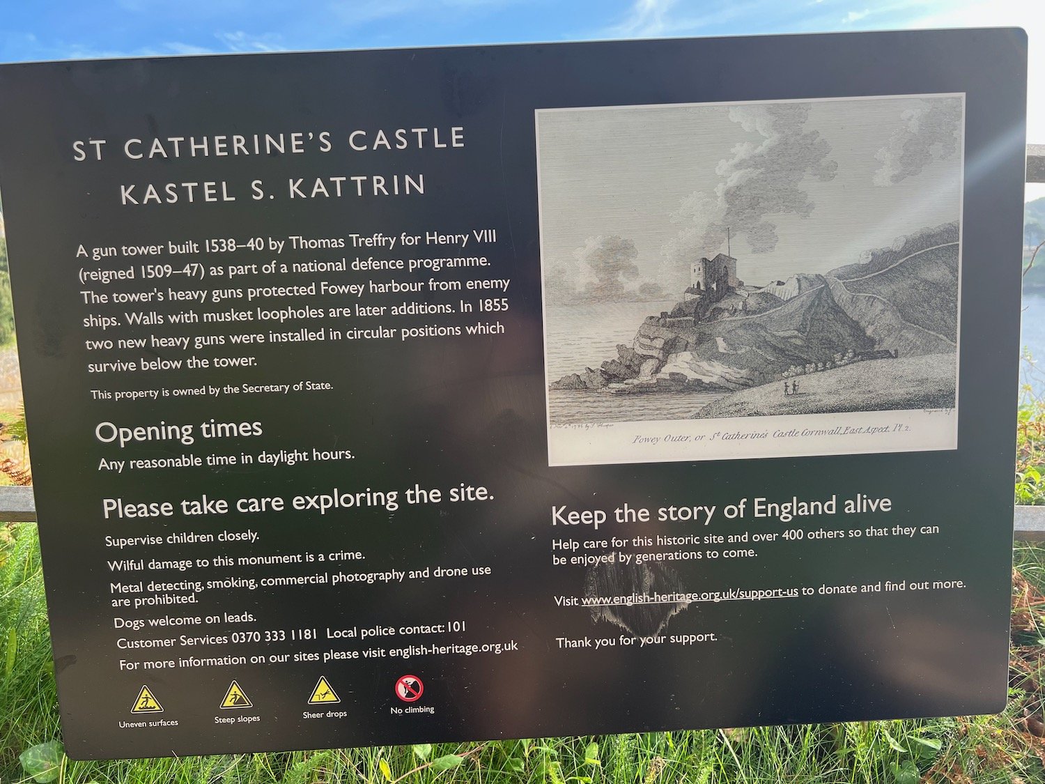
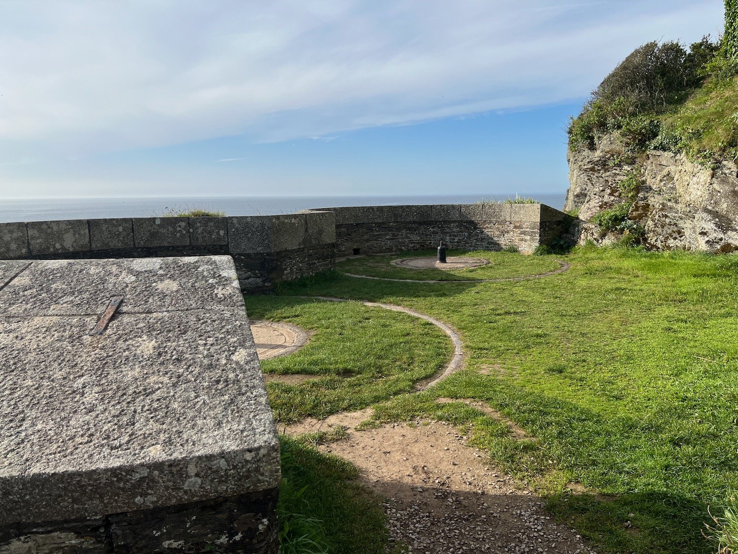
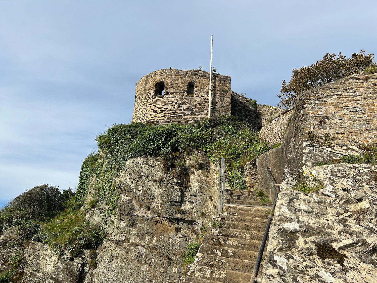
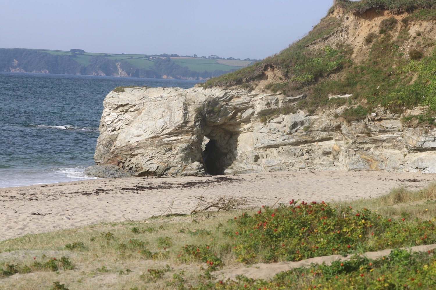
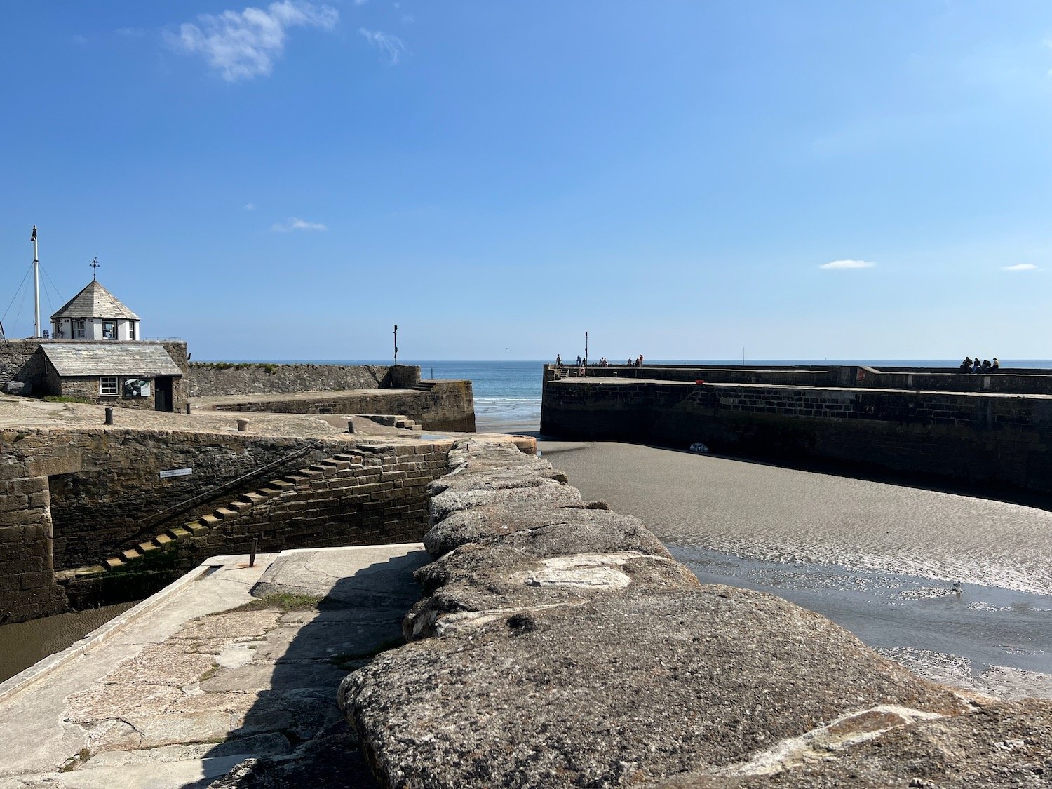
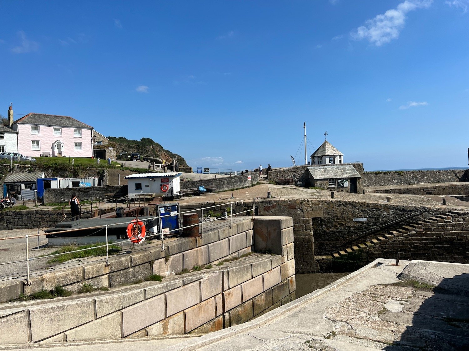
I alight the ferry below Bayards Cove Fort, a Tudor fort built between 1522 and 1536.
I can’t find any Dart Valley Trail signs so I’m going to have to make up the route through Dartmouth. Fortunately I’ve done the walk before so I vaguely remember where to go.
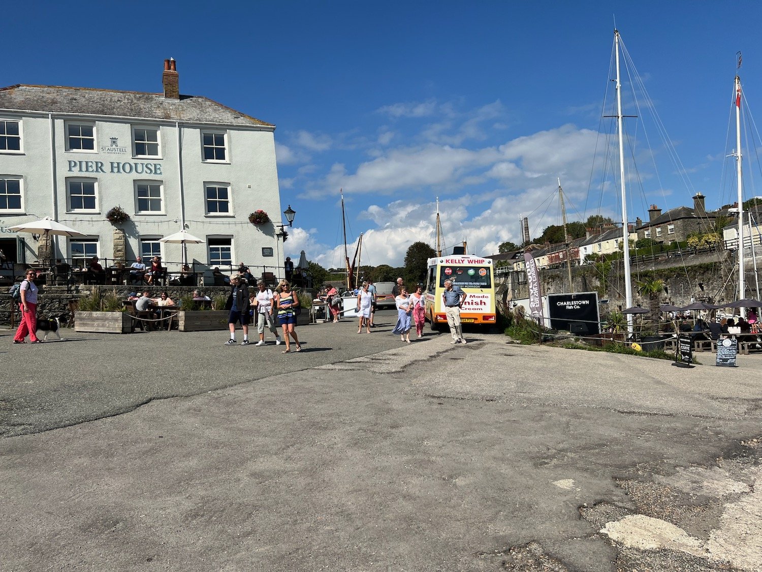
I walk through the centre of Dartmouth and pass Dartmouth Visitor Centre and head behind the health centre where I find a set of stone steps, Cox’s Steps, heading upwards. This takes me to Clarence Hill which climbs steeply up to Tounstal Hill and then to Church Road where I pass behind St Clement’s Church.
clarence hill
I reach the A379 where there’s a Dart Valley Trail sign on a lamp post on this side of the road.
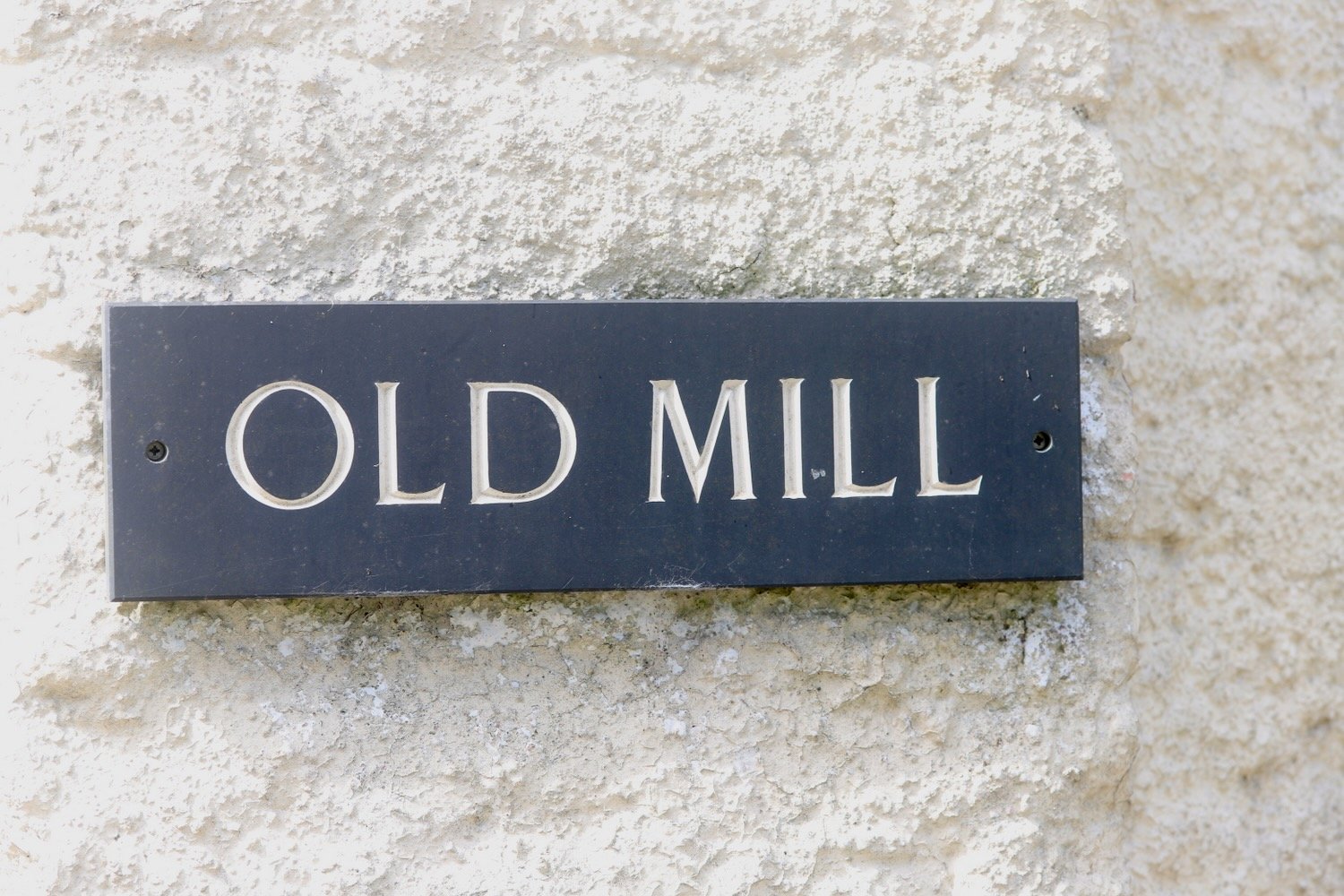
I cross the busy A379 near to the entrance to Britannia Royal Naval College and walk down Old Mill Lane behind the college.
I reach the end of the road and come across more signs pointing across Tounsal Crescent. I cross the road and find some steps next to Archway Cottage which takes me down to the next part of Old Mill Lane. I amble along this lane for quite some time until it takes me to Old Mill Creek.
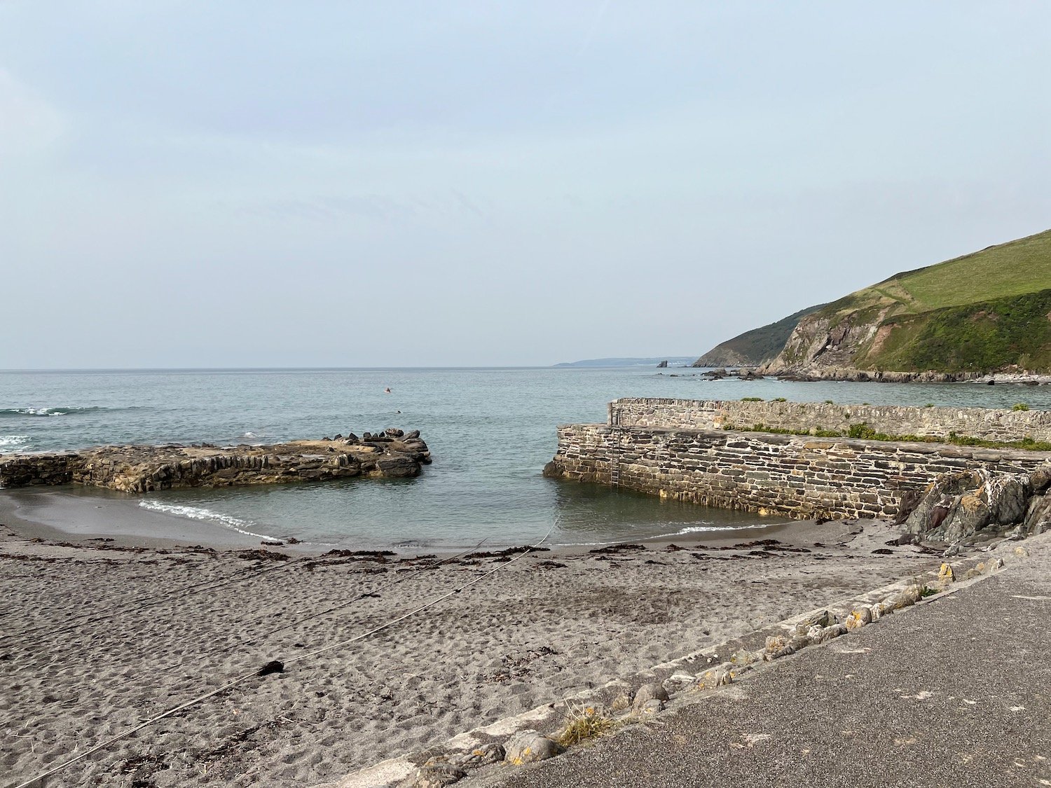
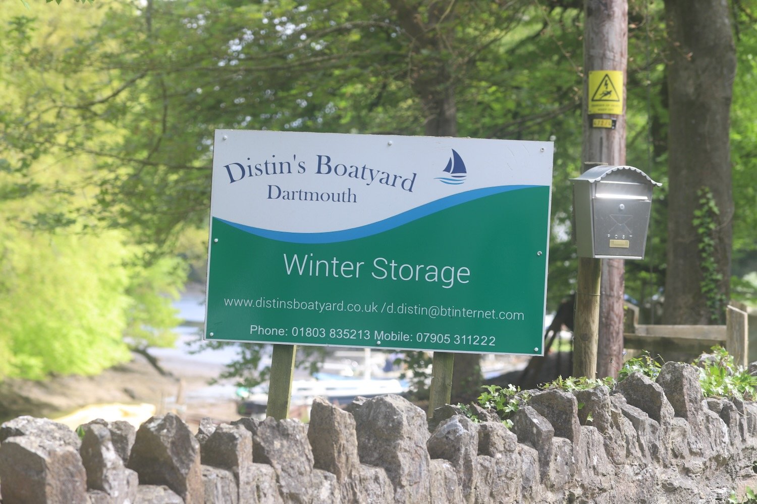
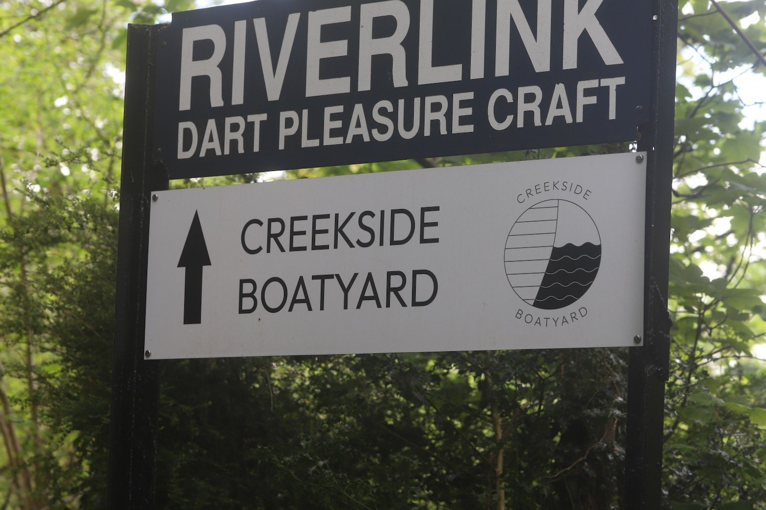
At Old Mill Creek I cross over a bridge and turn right and follow a road which becomes unmetaled Lapthorne Lane where I pass Distin’s Boatyard and Creekside Boatyard.
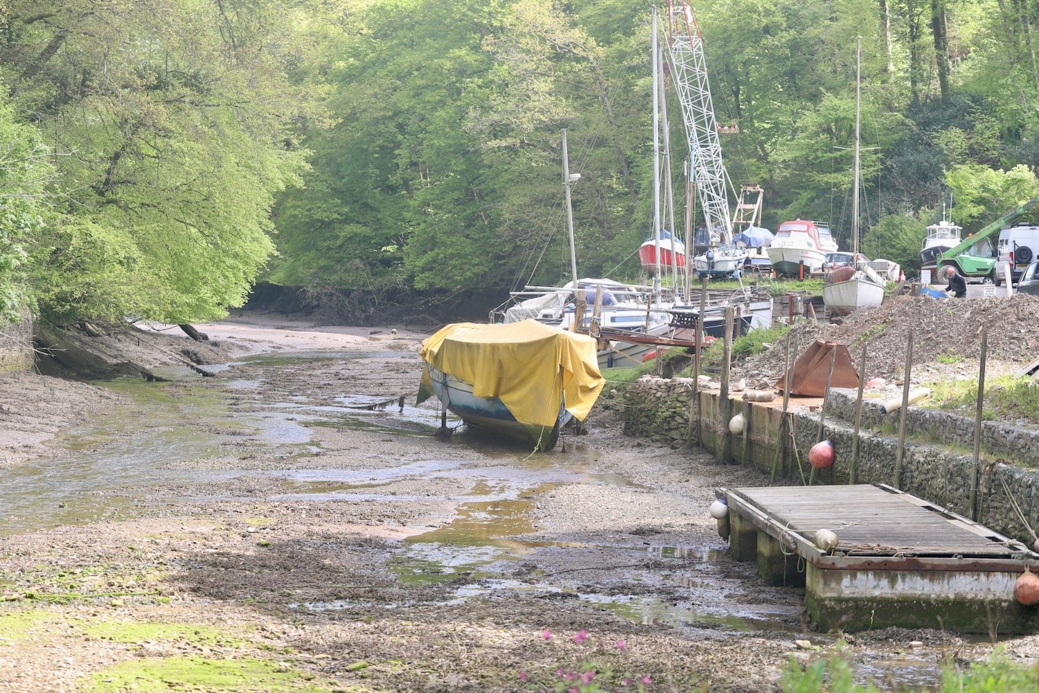
I come across a signpost, next to a Raleigh Estate information board, which shows me that the Dart Valley Trail takes two different routes. I take the longer route to my right.
I amble through a woodland area which turns into a pine forest, passing, what my notes tell me is a lake on my right, but I’m sure it must be just part of the creek.
The woodland alternates between broadleaf and pine and the edges of the path are covered in mint for some reason. There are wildflowers everywhere, including some foxgloves not quite in flower yet and some wild strawberries.


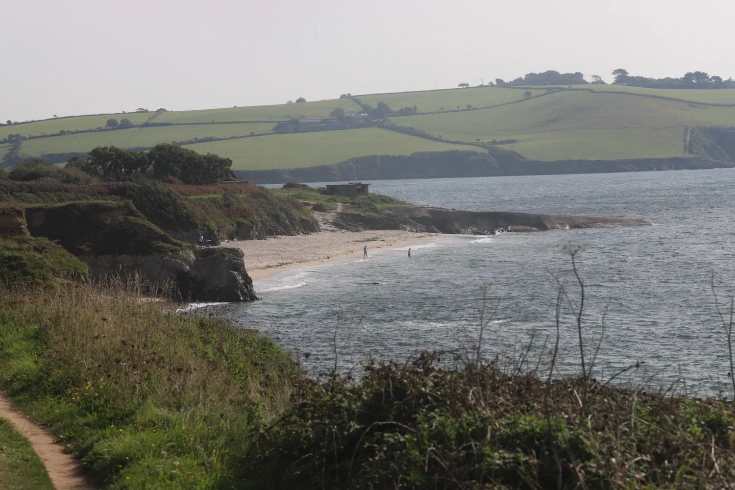
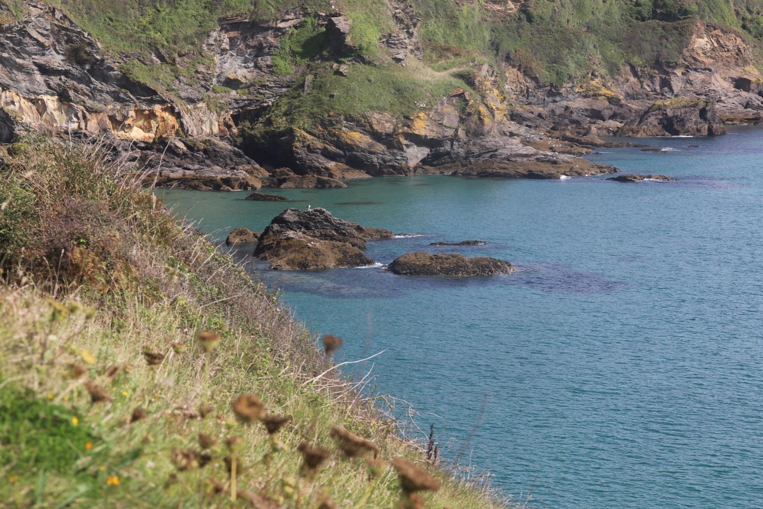
I leave the forest and cross a steeply sloping field where I have lovely views back over the River Dart.
I climb up a path next to fields. I hear the steam train chugging back to Paignton and I have lovely views over to Noss Marina on the other side of the river.
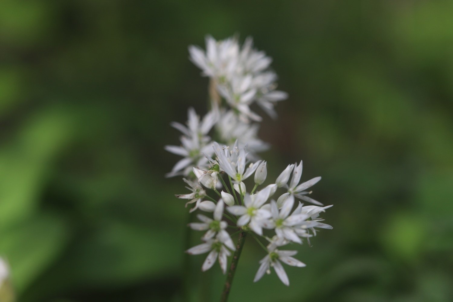
It’s a long climb upwards before I reach Green Lane, although it’s not marked on my Ordnance Survey map, which is covered in stinky wild garlic.
I turn right into fields and cross a field with no discernible path through it but the Dart Valley Trail sign is pointing right across the field. I follow a deeply rutted track until I join the road at Fire Beacon Hill. It must be a stinky old path after some proper rain.
I briefly follow the road before climbing over a stile and along a track and I’m now on the outskirts of Dittisham, where I climb down Rectory Lane.
I amble steeply down through Dittisham.
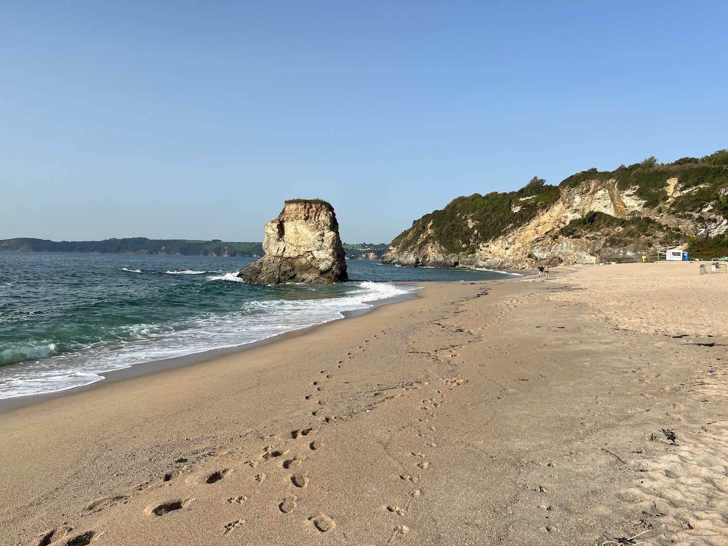
At the bottom of the road I reach the gaudy, pink Ferry Boat Inn and Anchorstone Cafe on the banks of the River Dart.
Here I catch the Greenway and Dittisham ferry which takes me over the river to Greenway. The ferry fare is £3.
I head steeply up the road and then head through the main entrance to the Greenway Estate, once the holiday home of Agatha Christie.
“One day we saw that a house was up for sale that I had known when I was young... So we went over to Greenway, and very beautiful the house and grounds were. A white Georgian house of about 1780 or 90, with woods sweeping down to the Dart below, and a lot of fine shrubs and trees - the ideal house, a dream house.”
— Agatha Christie
I pass through a field on the outskirts of the estate before I enter a field where I have magnificent views high over the River Dart towards Dartmouth.
I follow the road past what was once the Maypool Youth Hostel and from here it is a short walk back to Heron’s Rest.
Not many photos today as they were mostly rubbish.
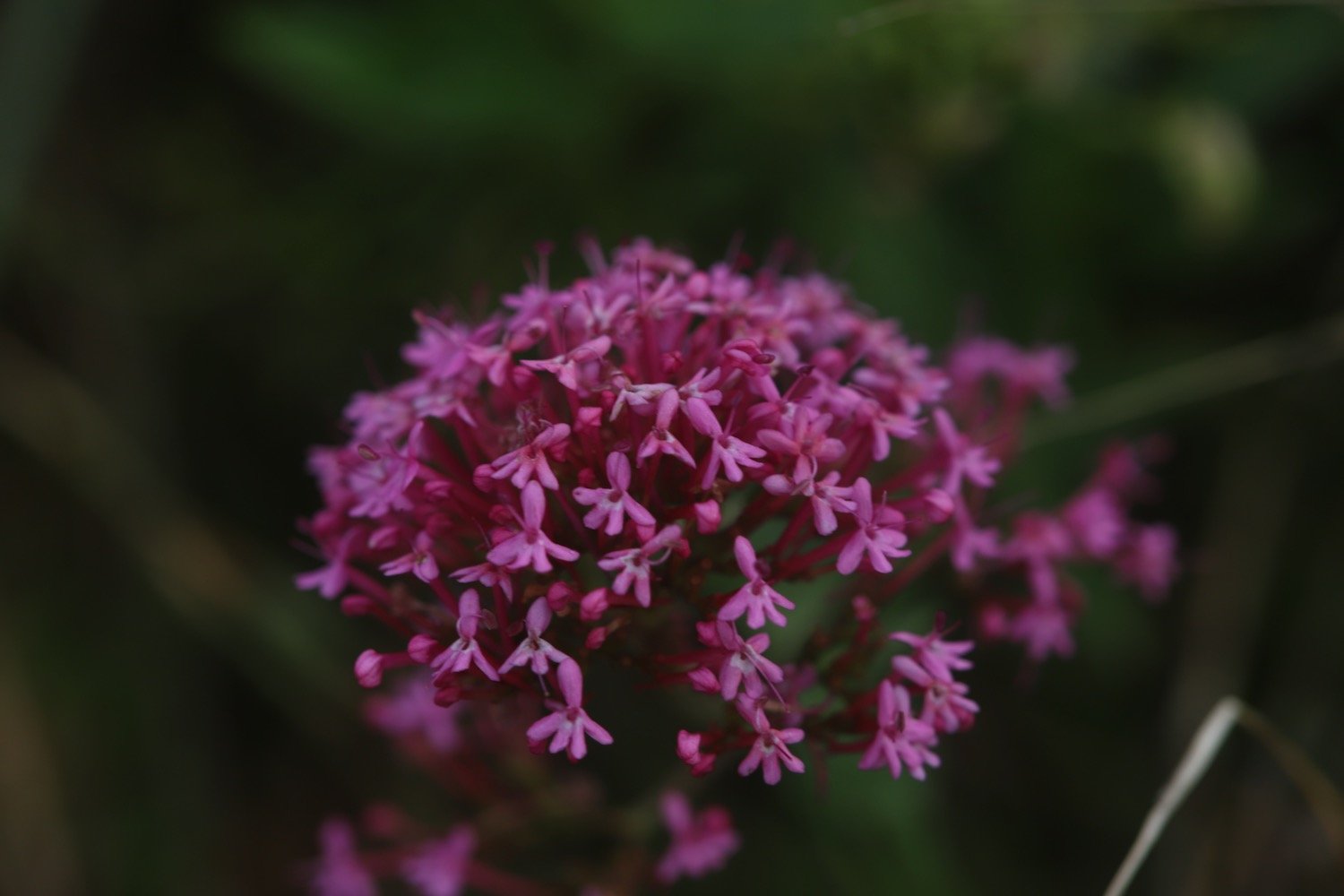
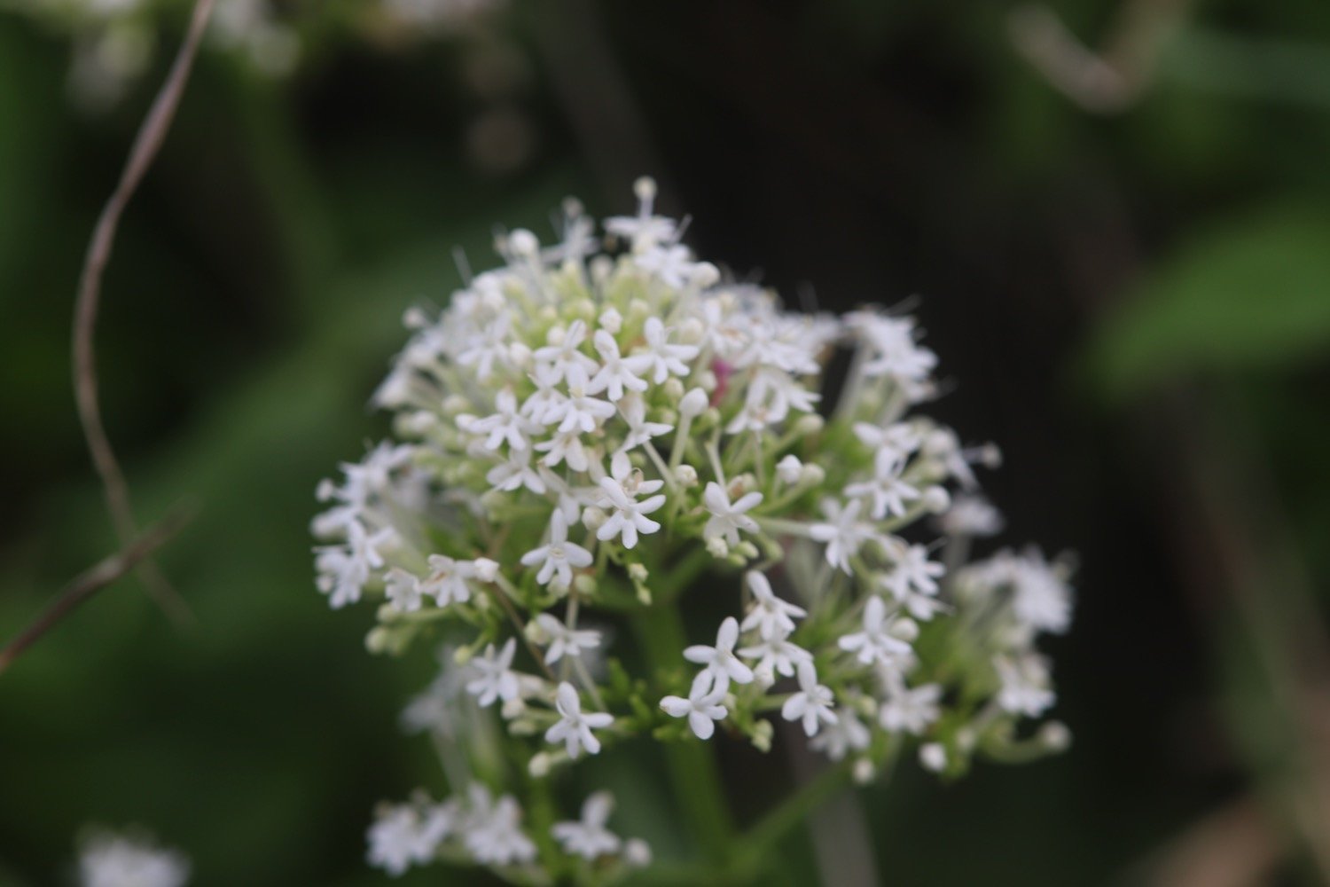
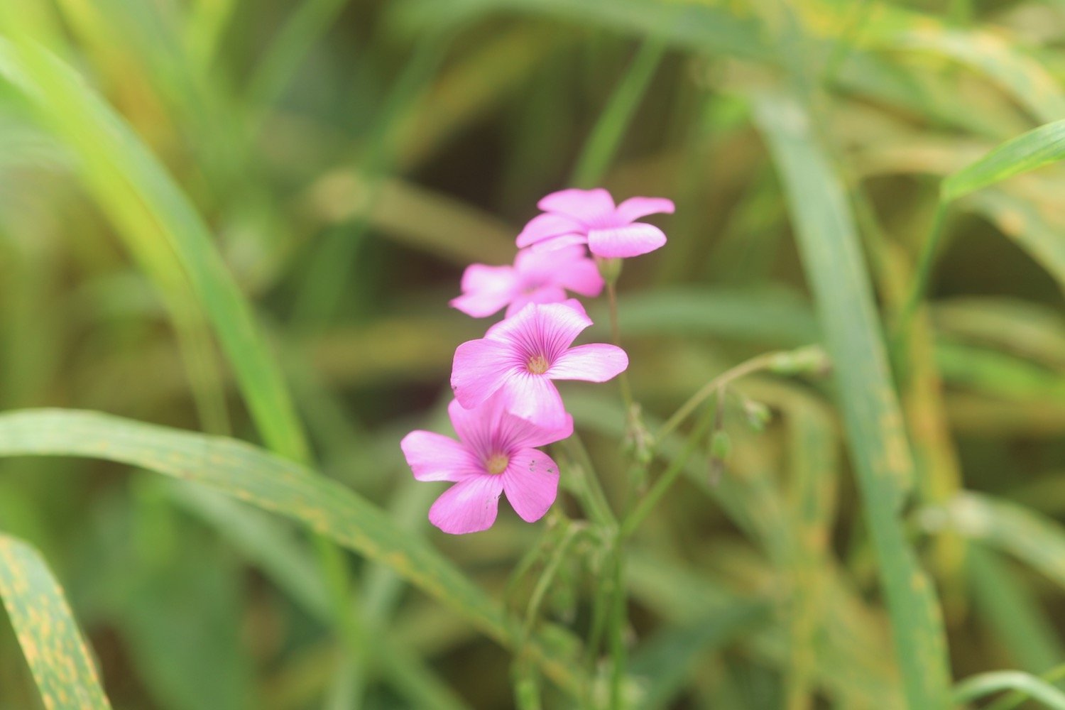
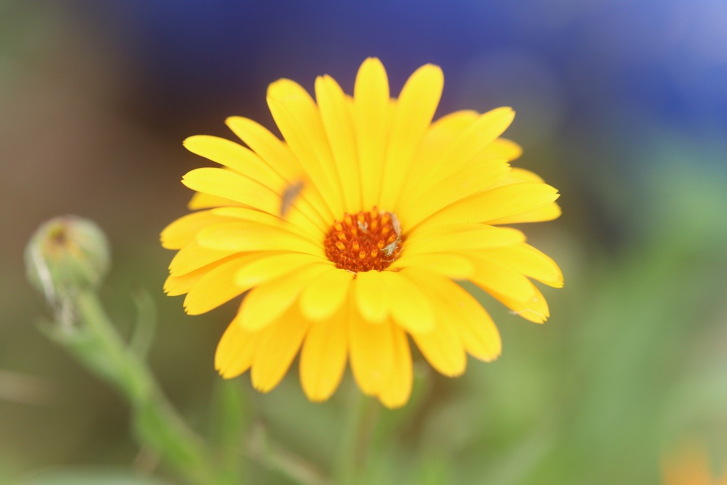
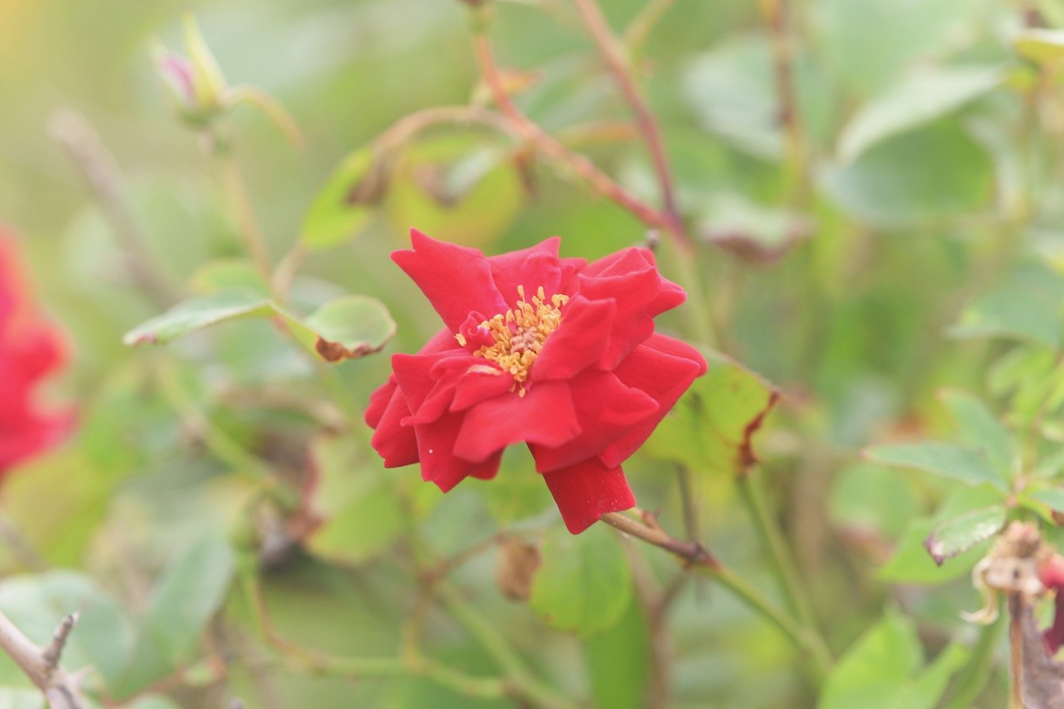
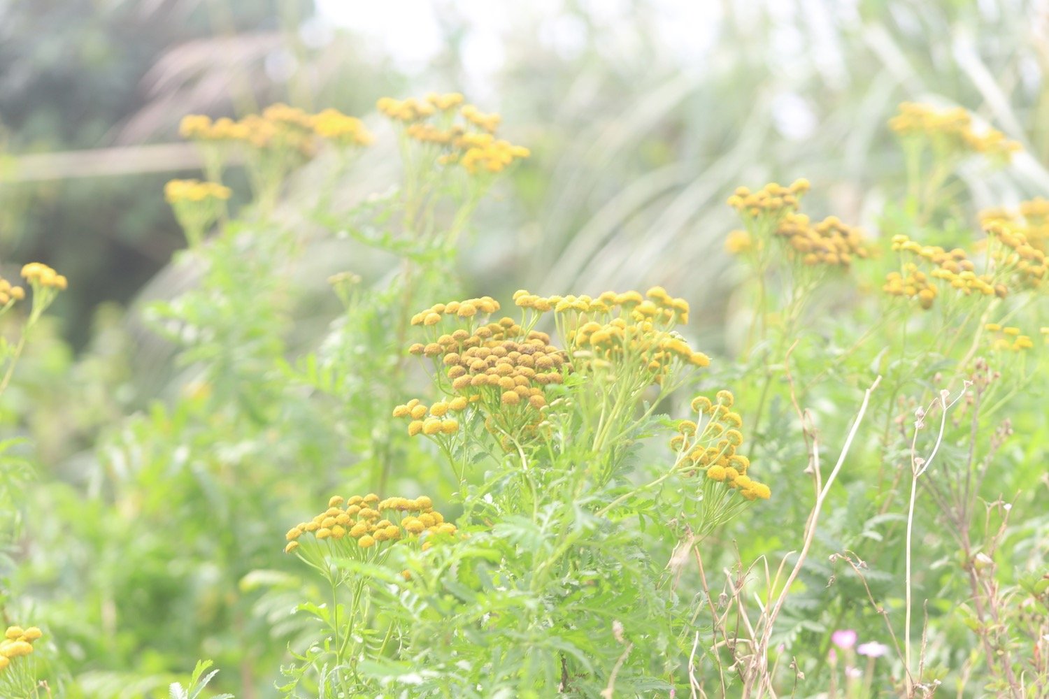
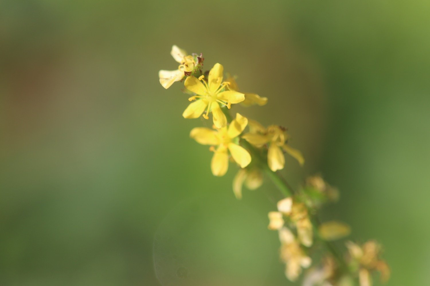
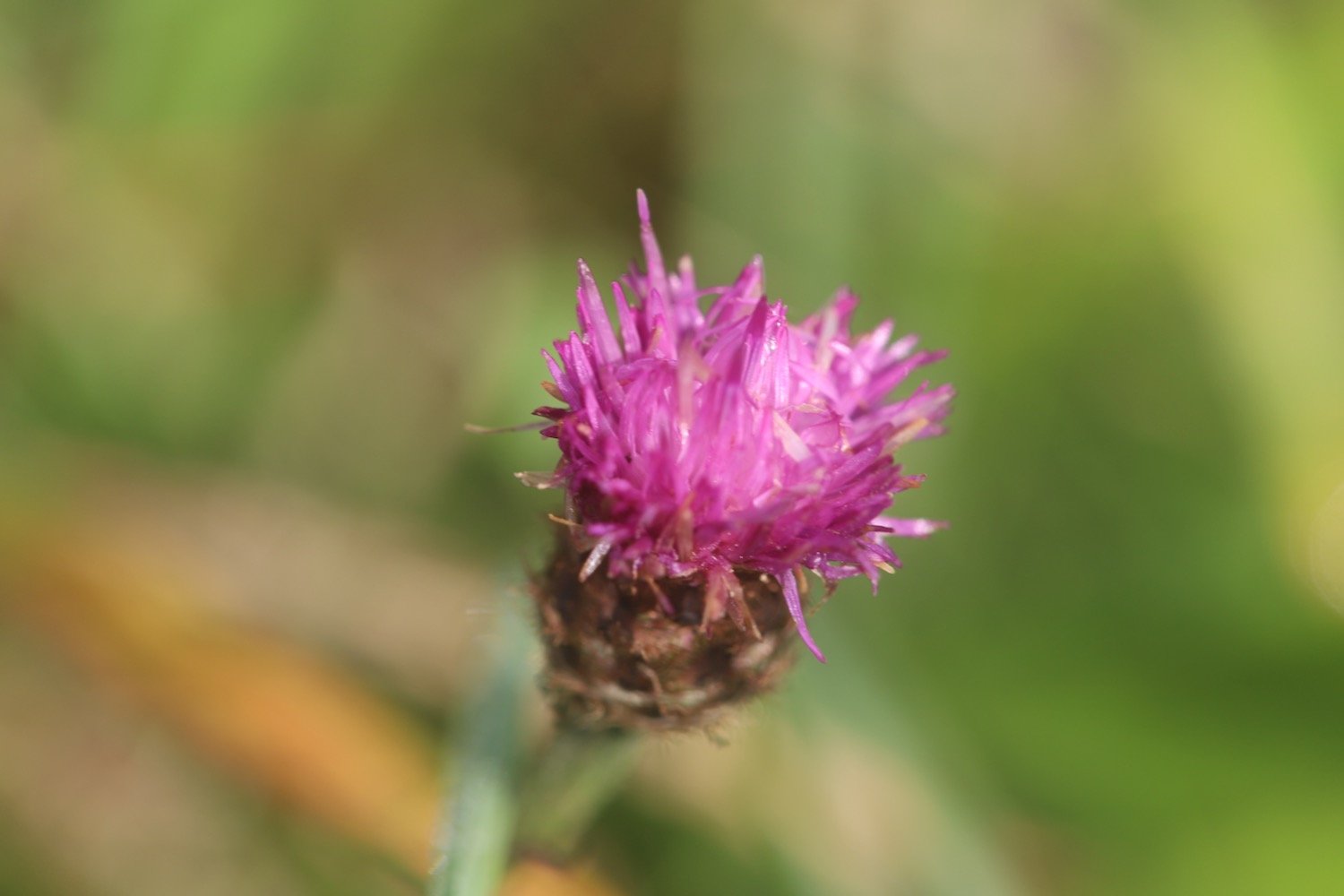
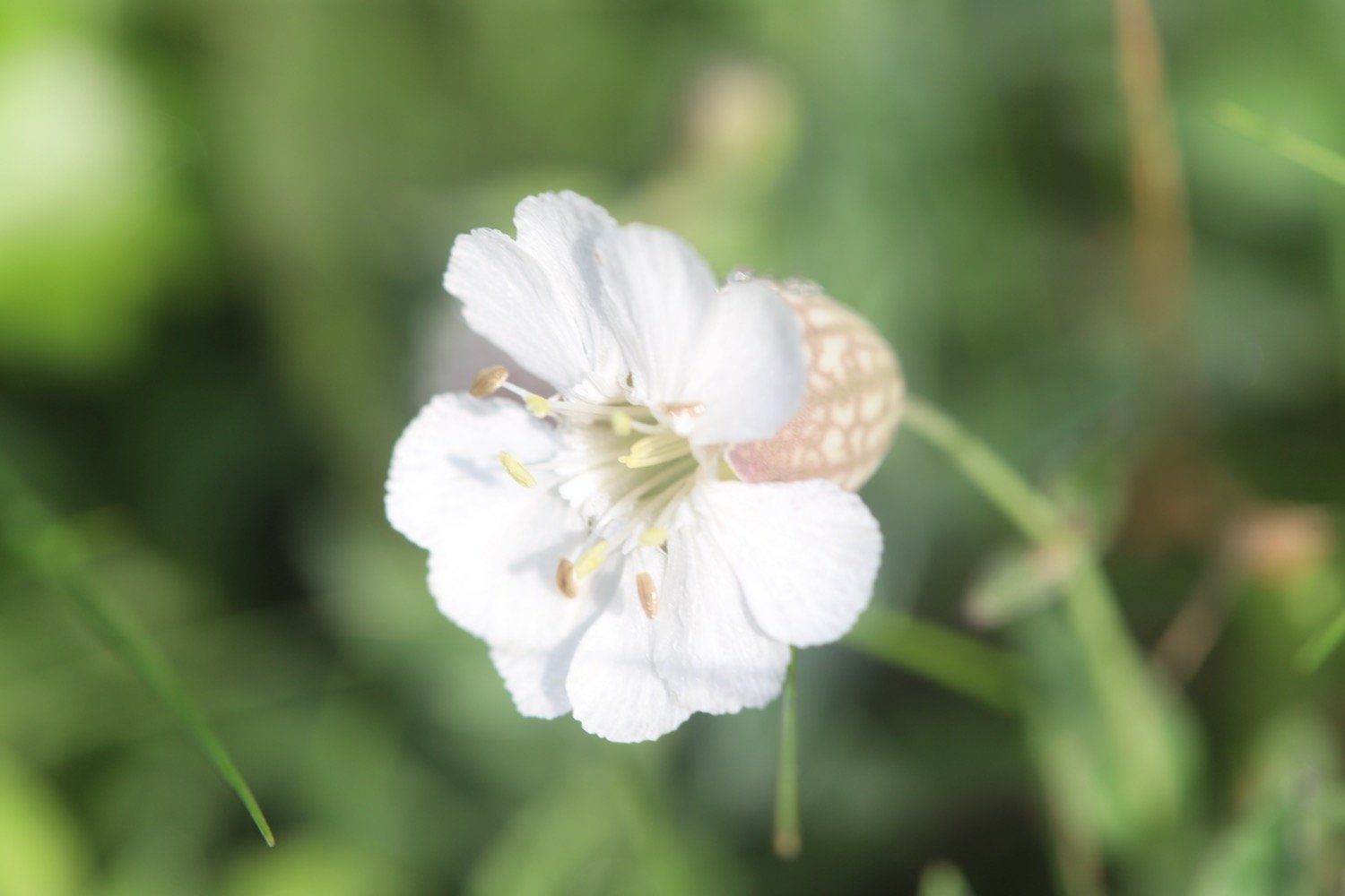
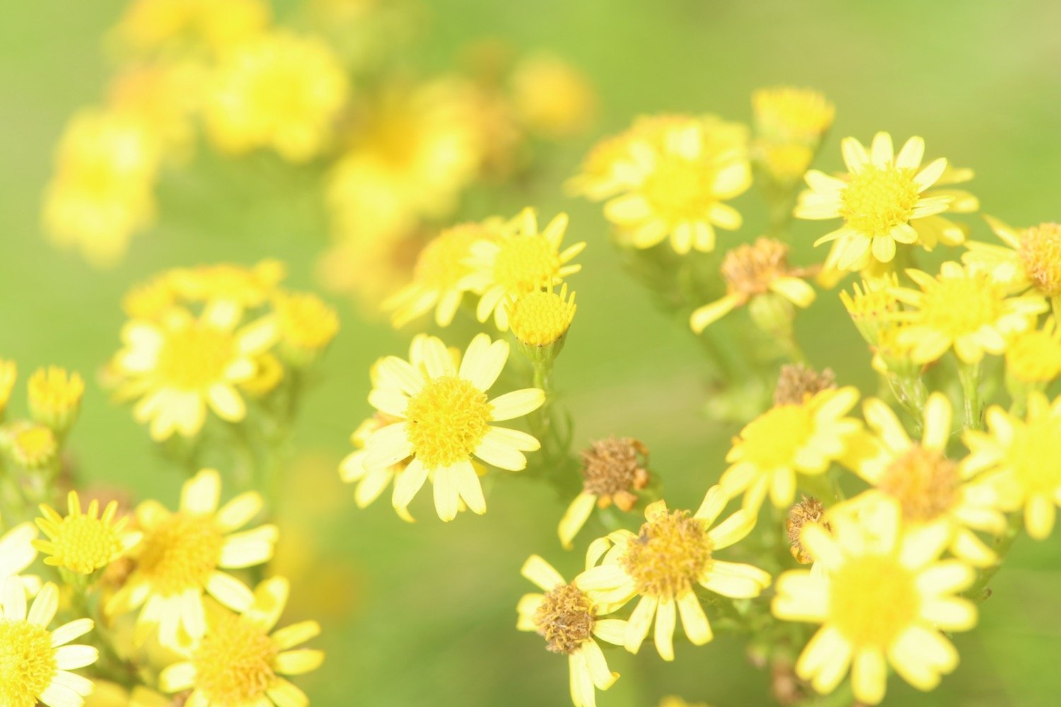
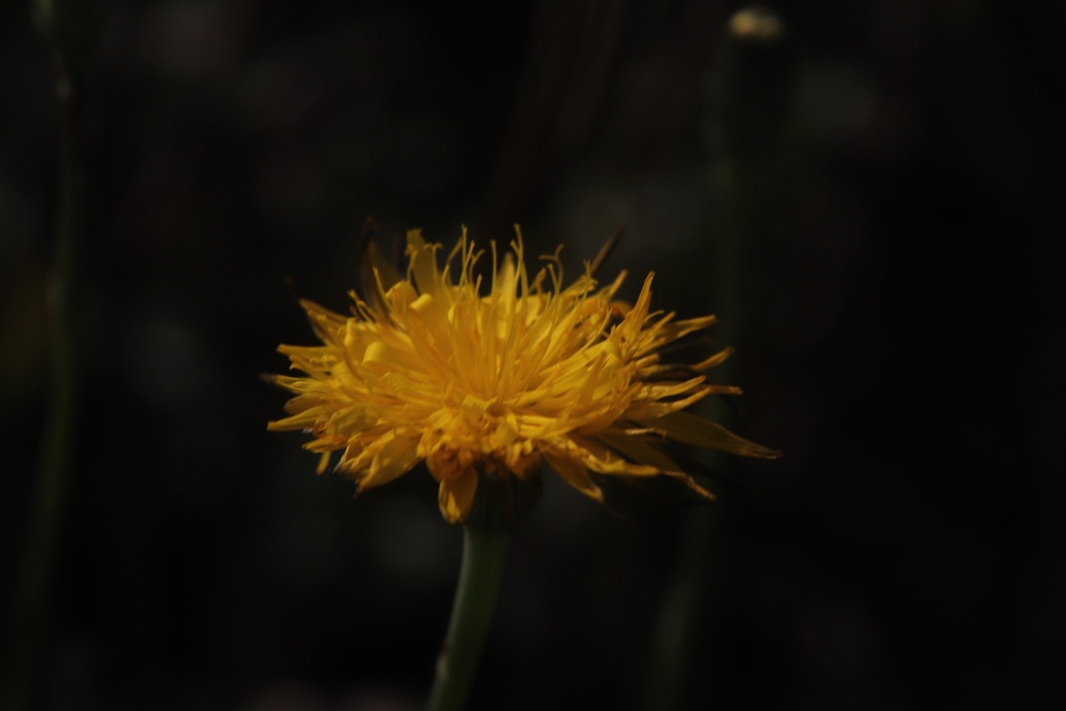
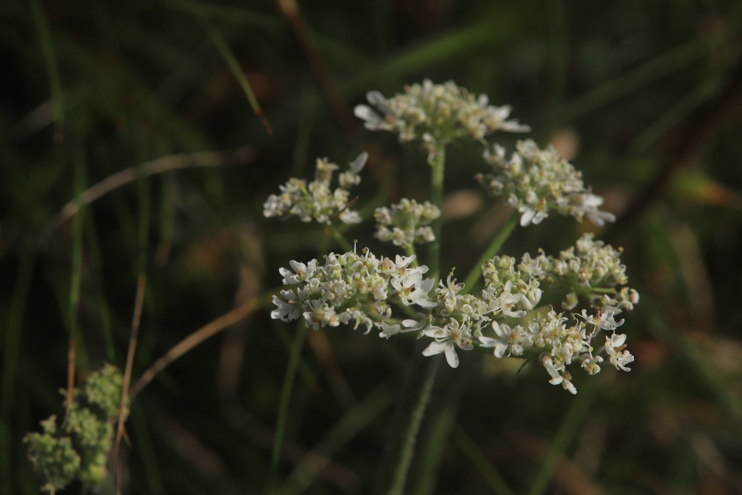
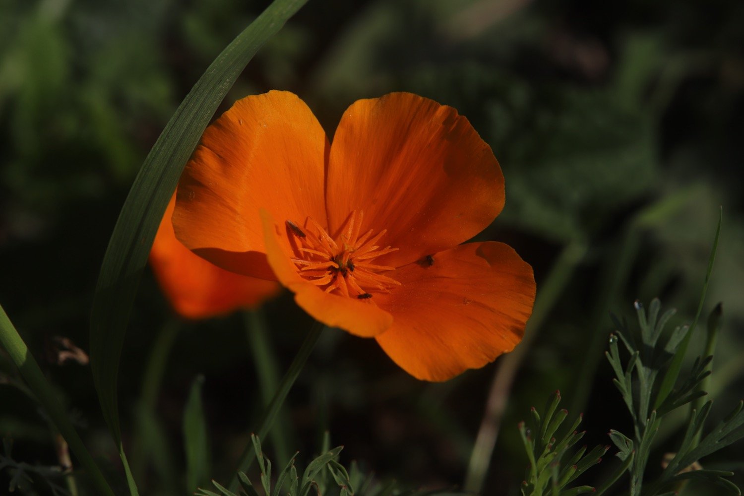
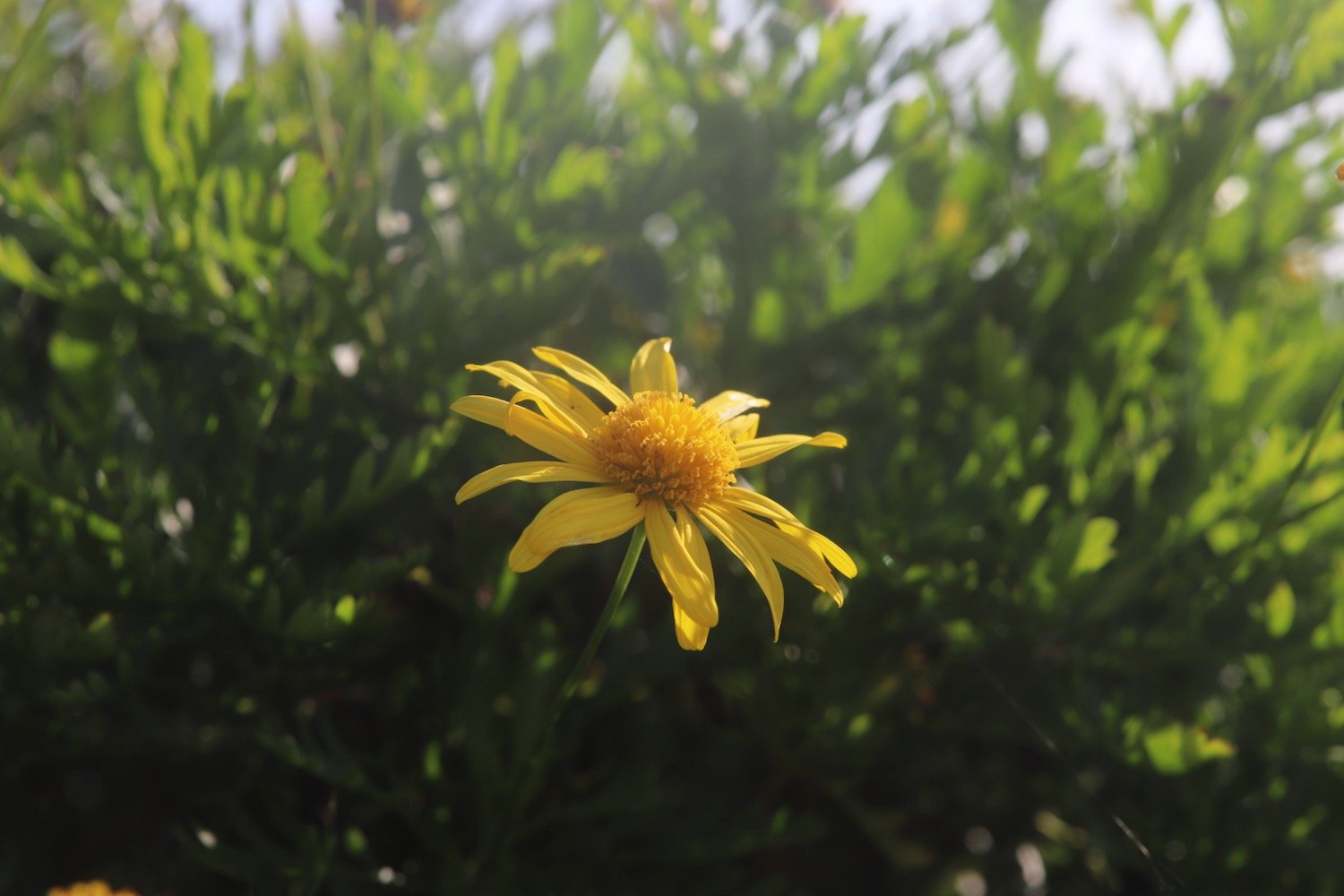
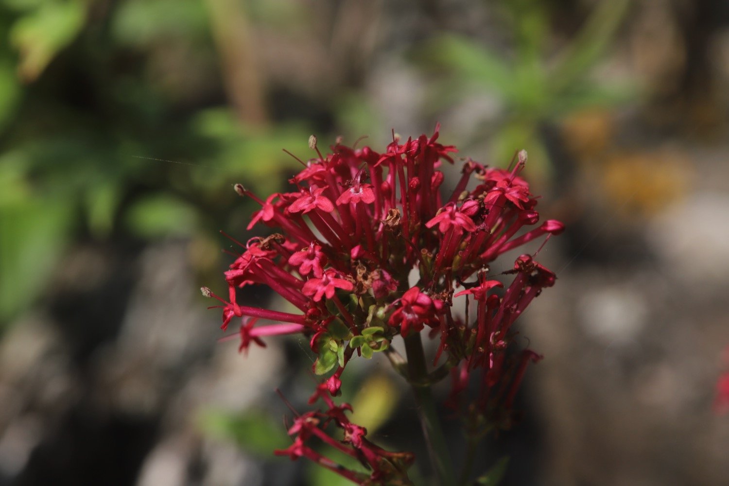
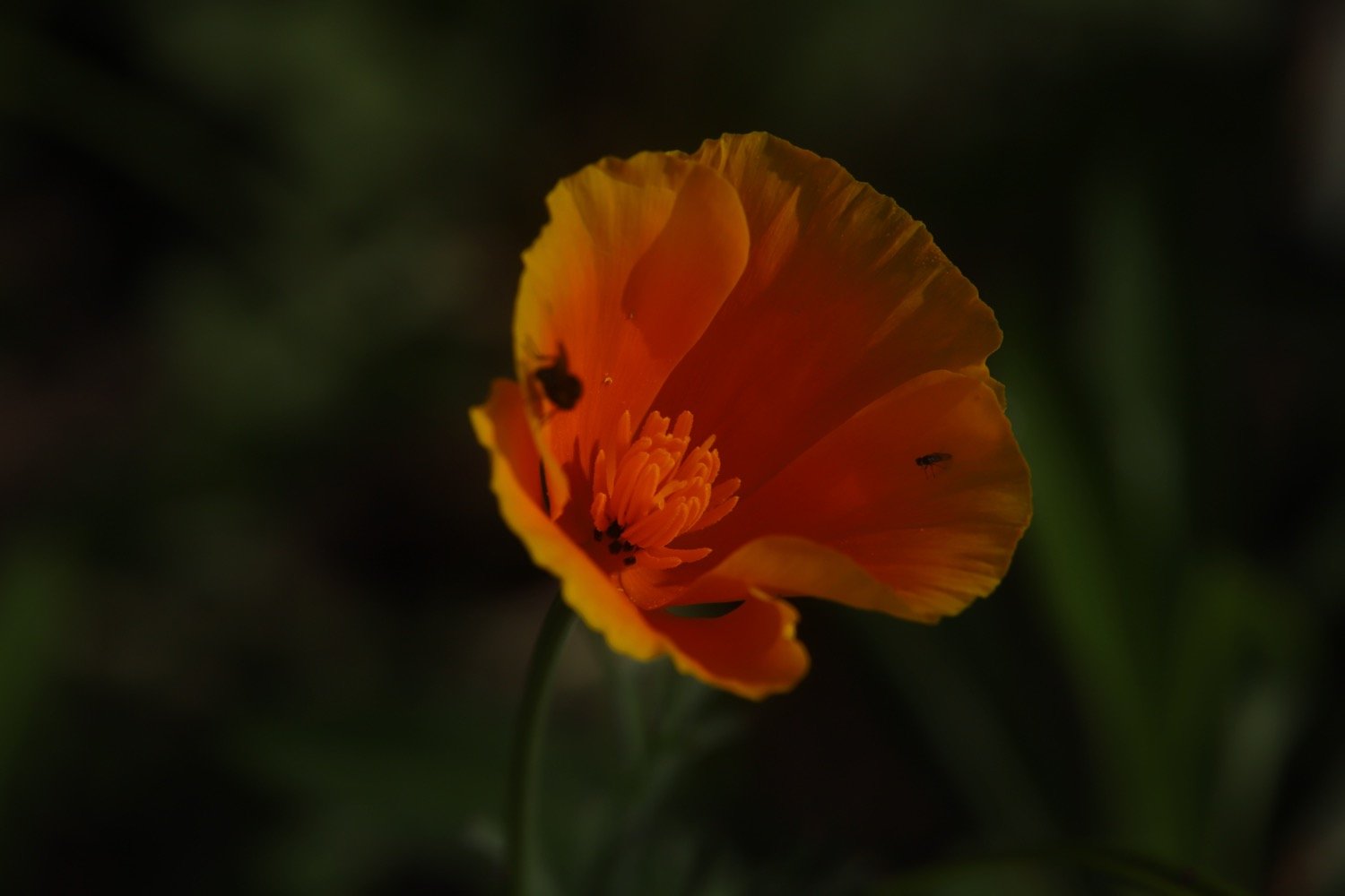
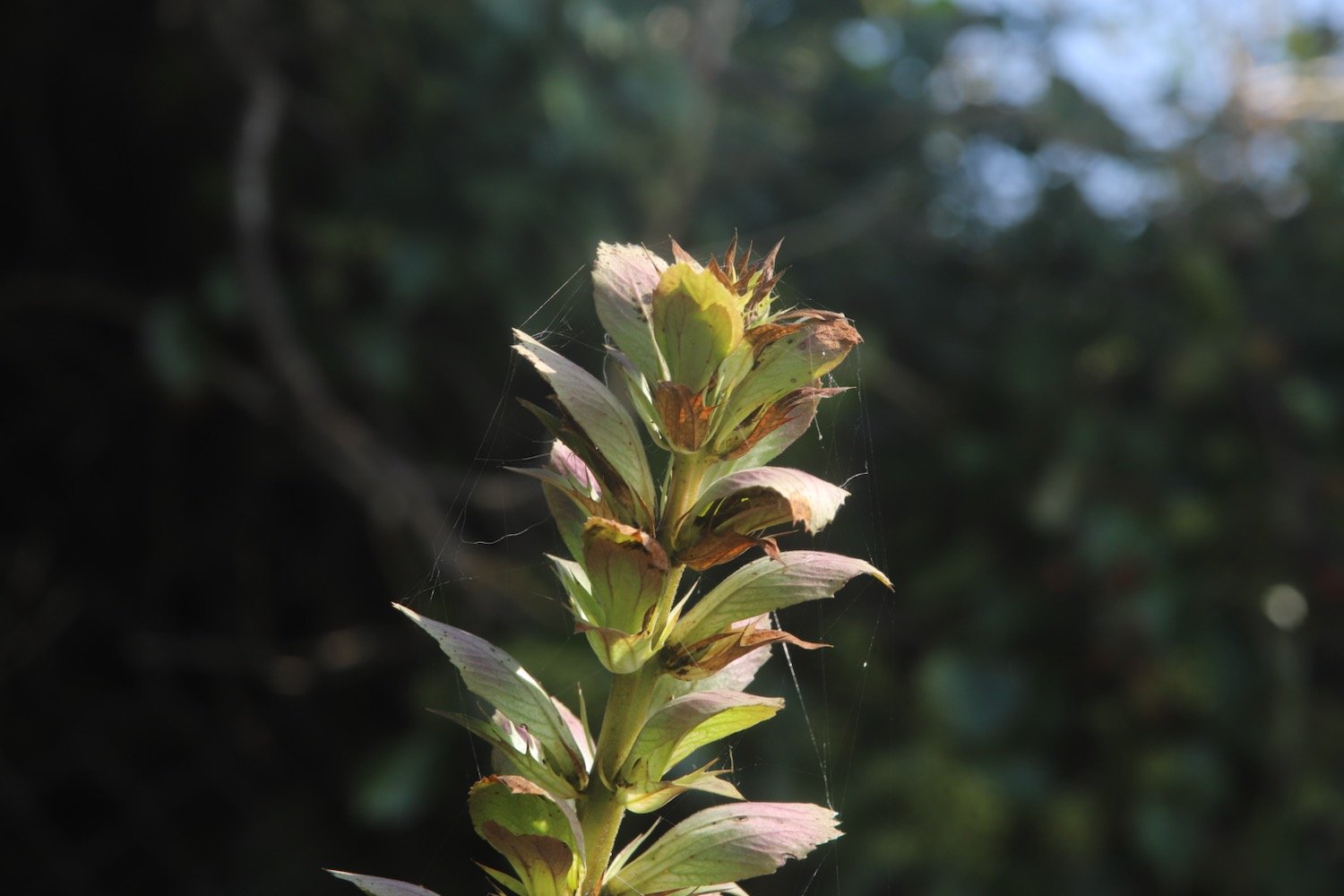
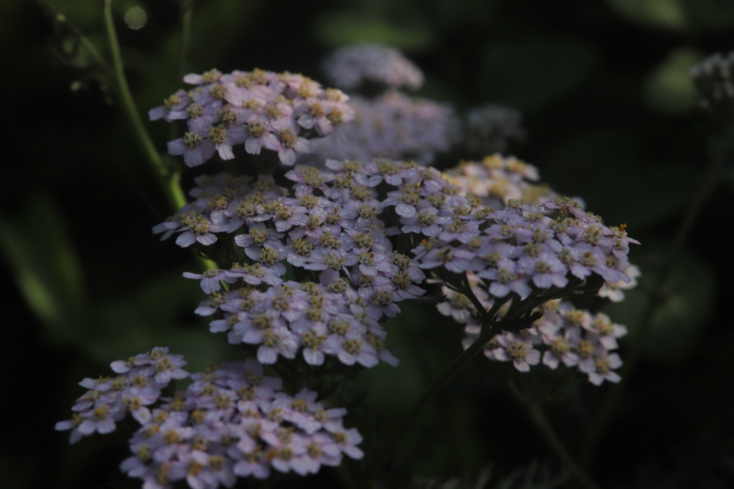
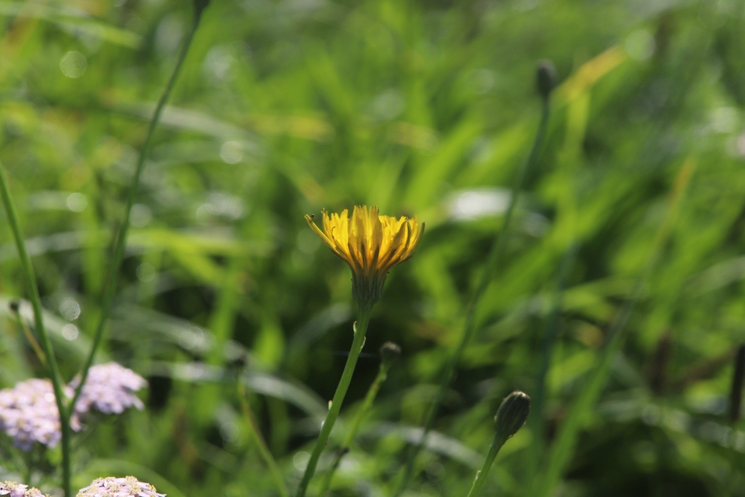
FLORA AND FAUNA
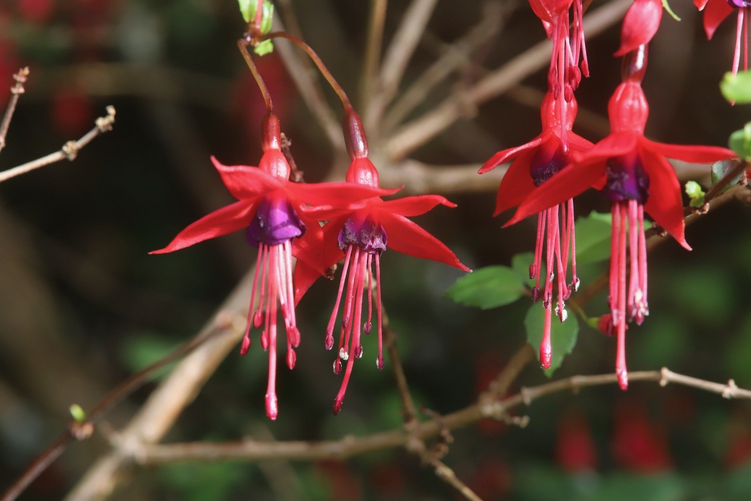
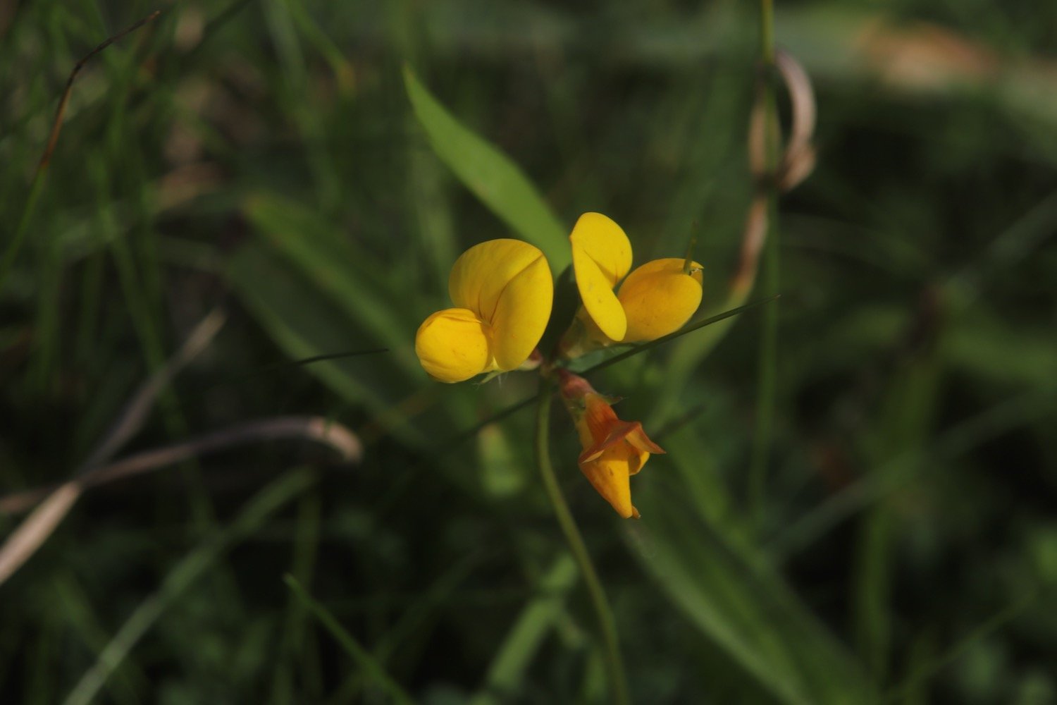
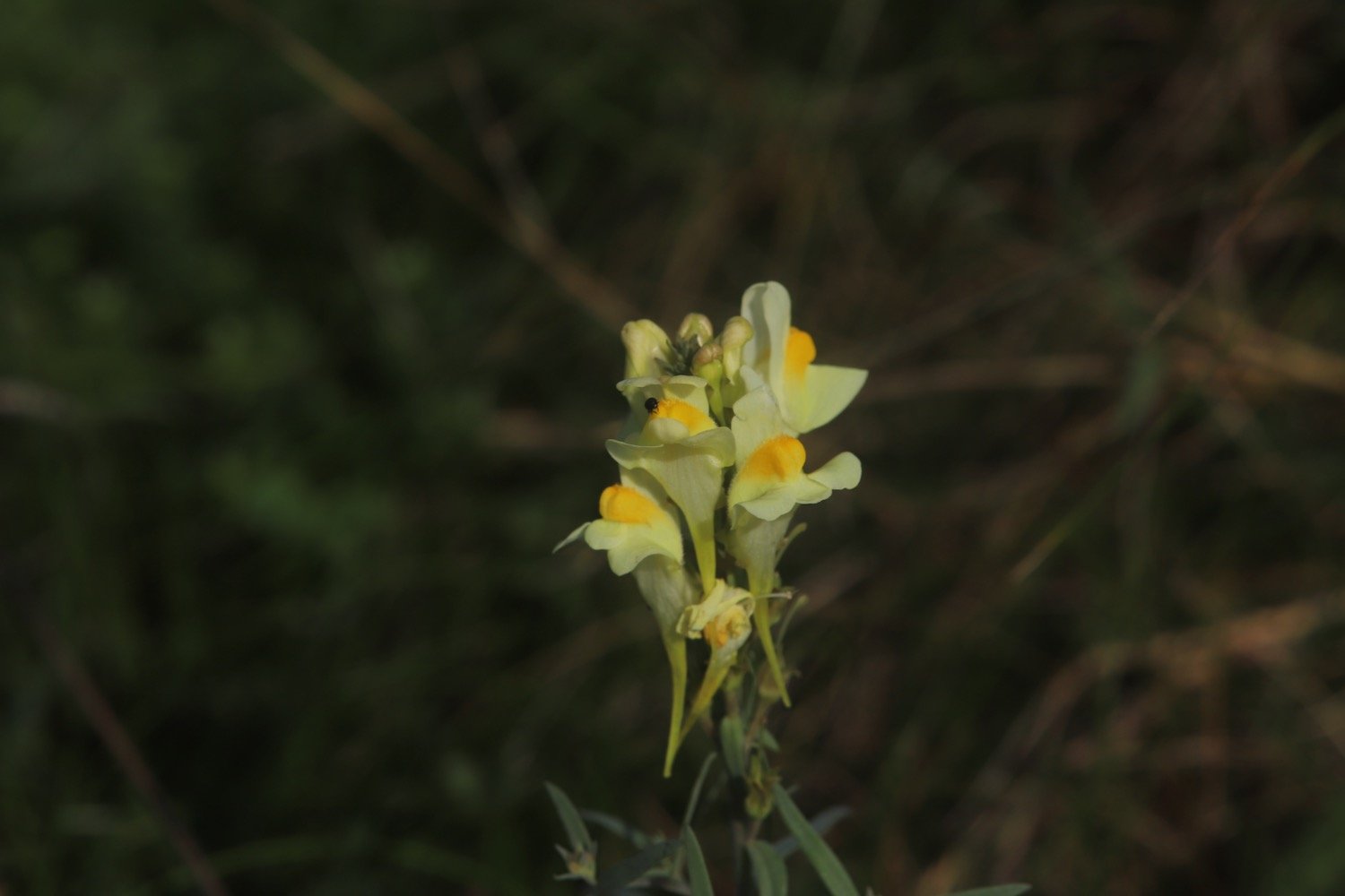
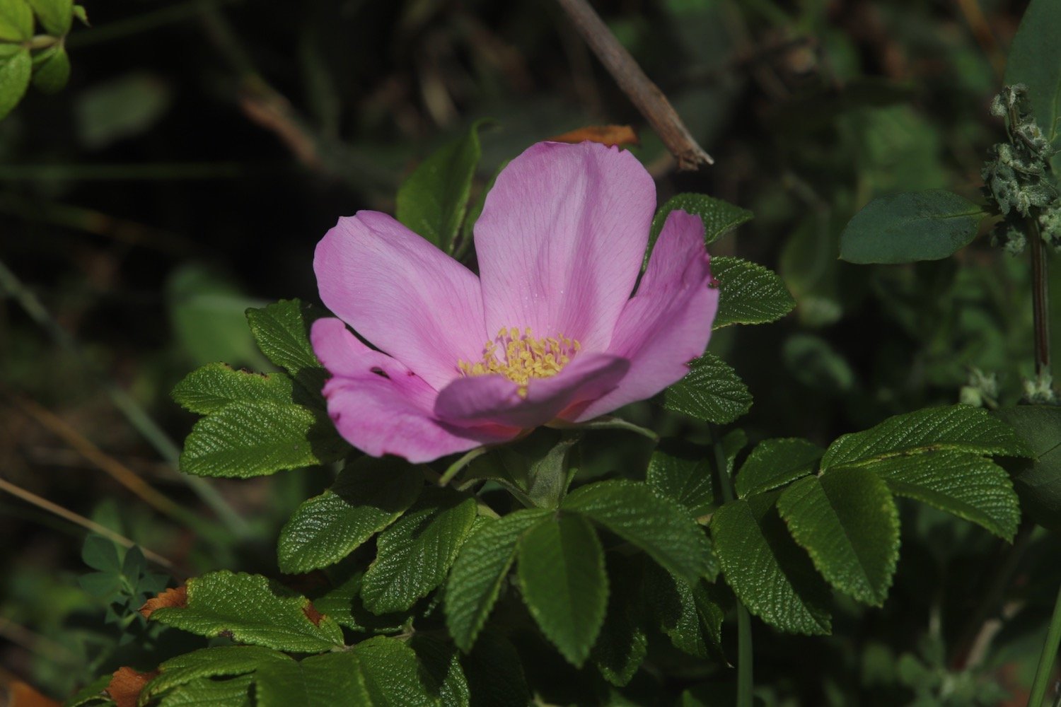
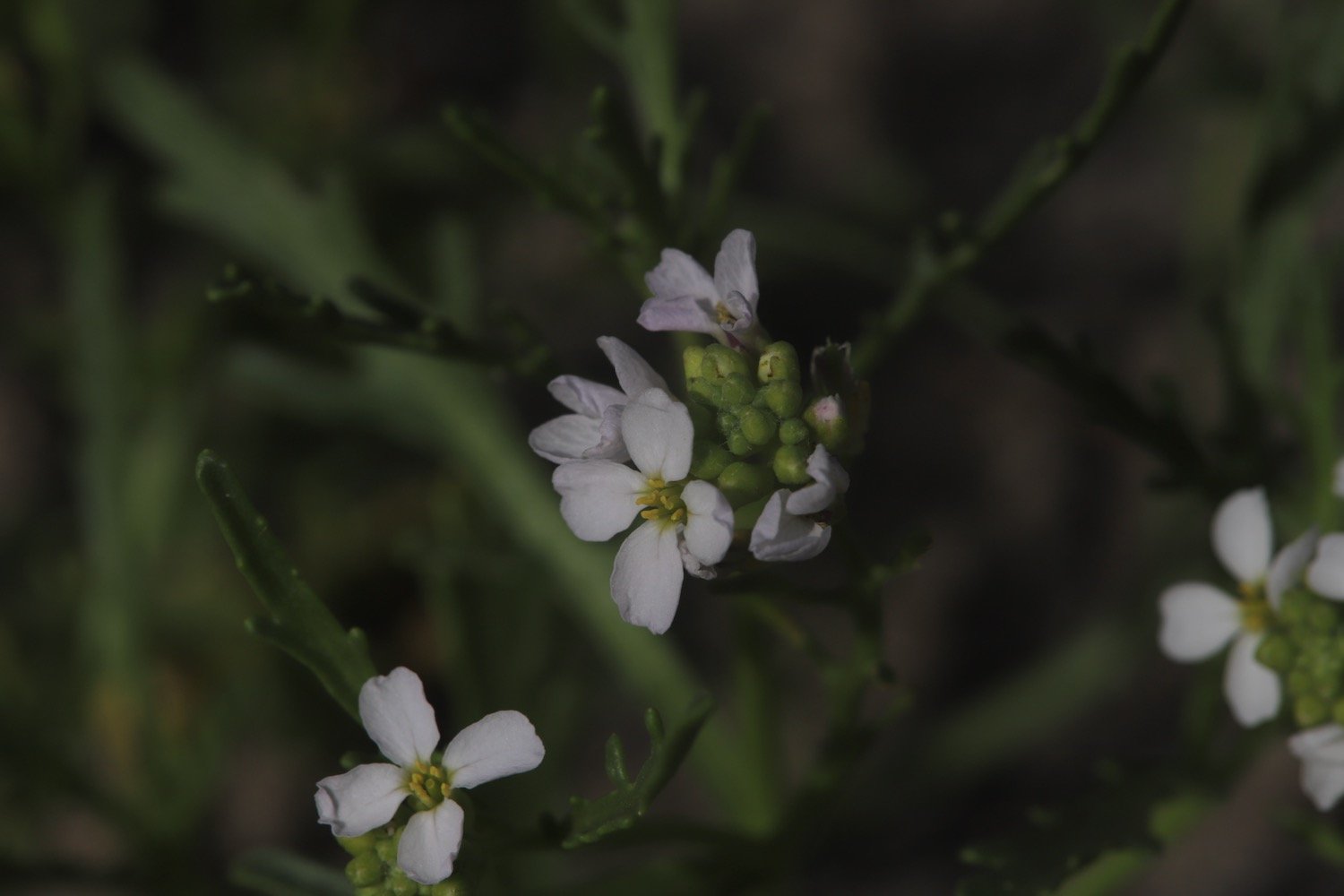
Flora and fauna encountered on the walk today includes :-
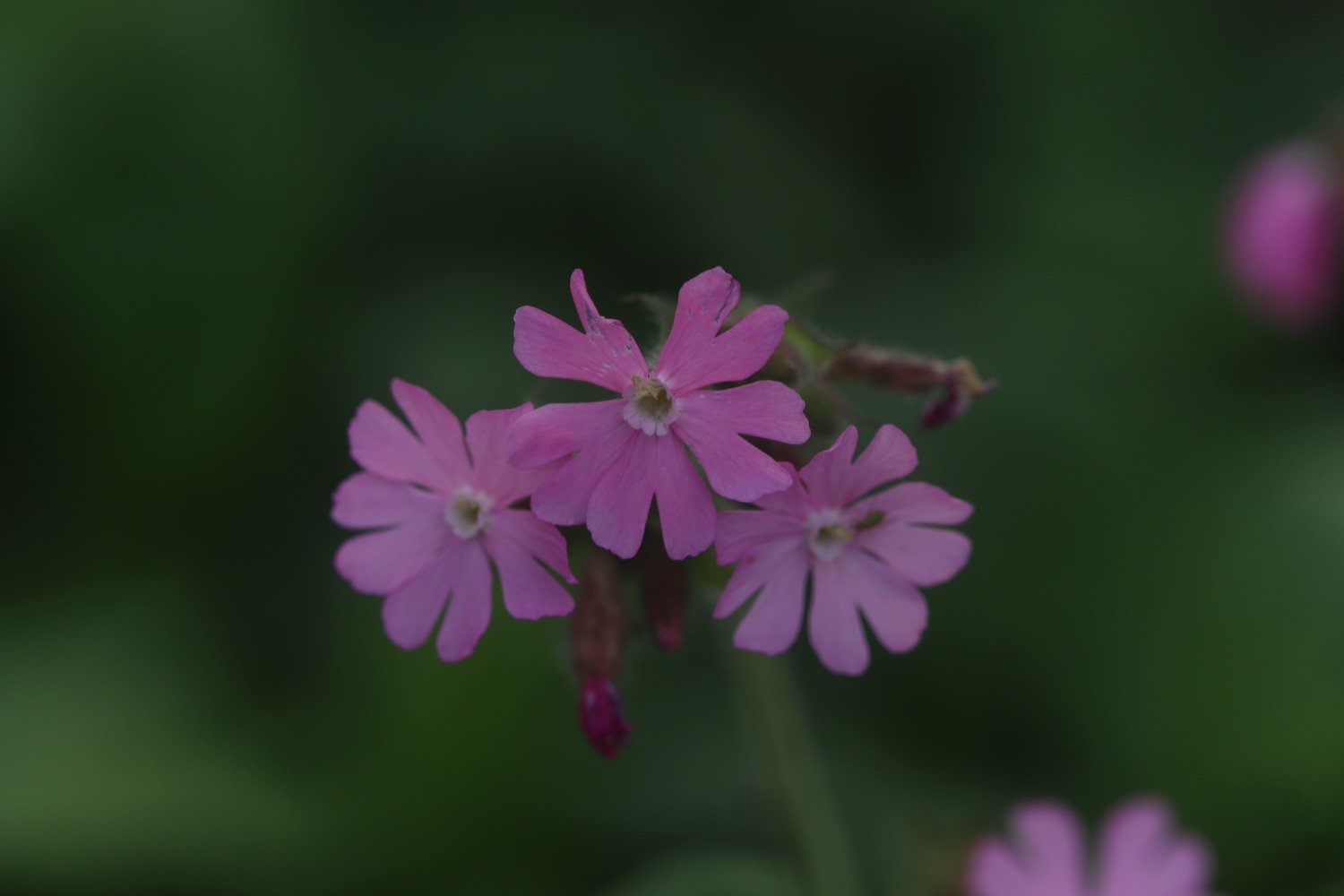
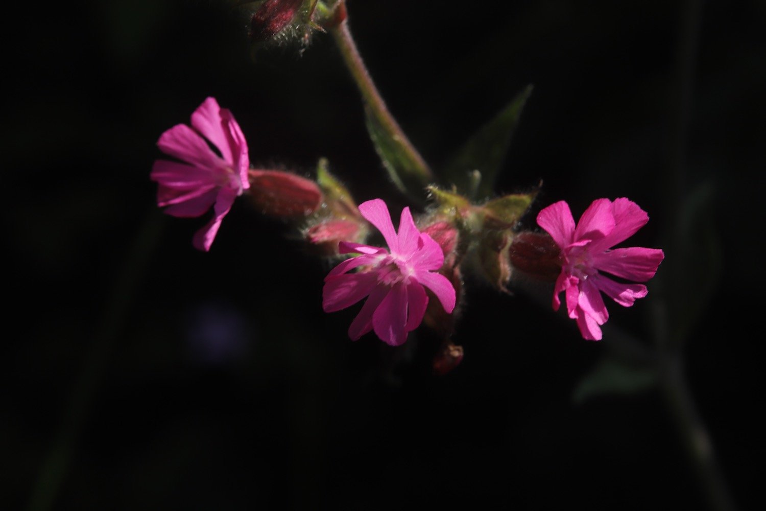
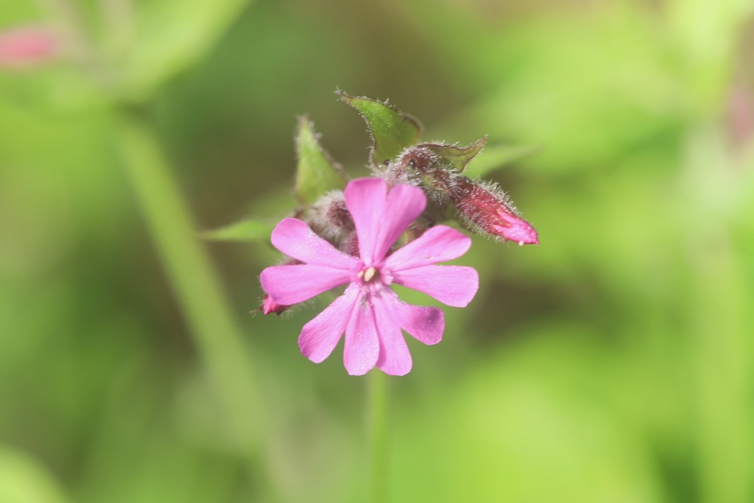
red campion
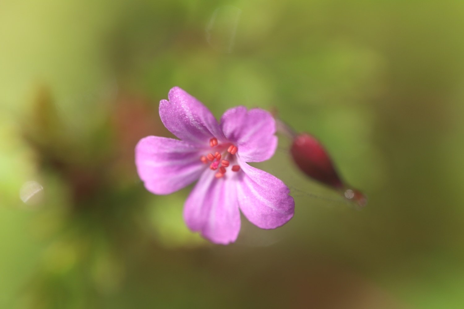
herb robert
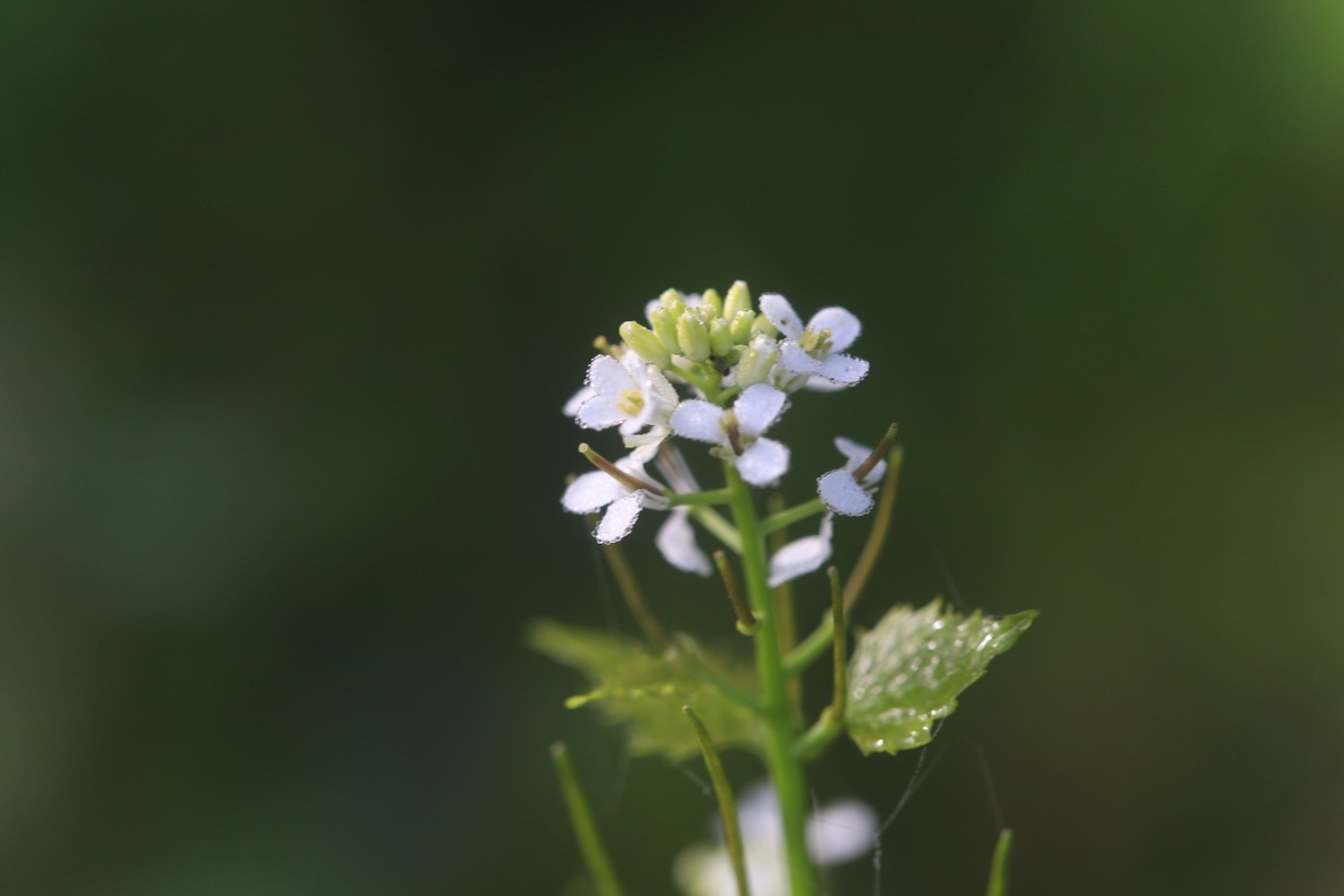
garlic mustard
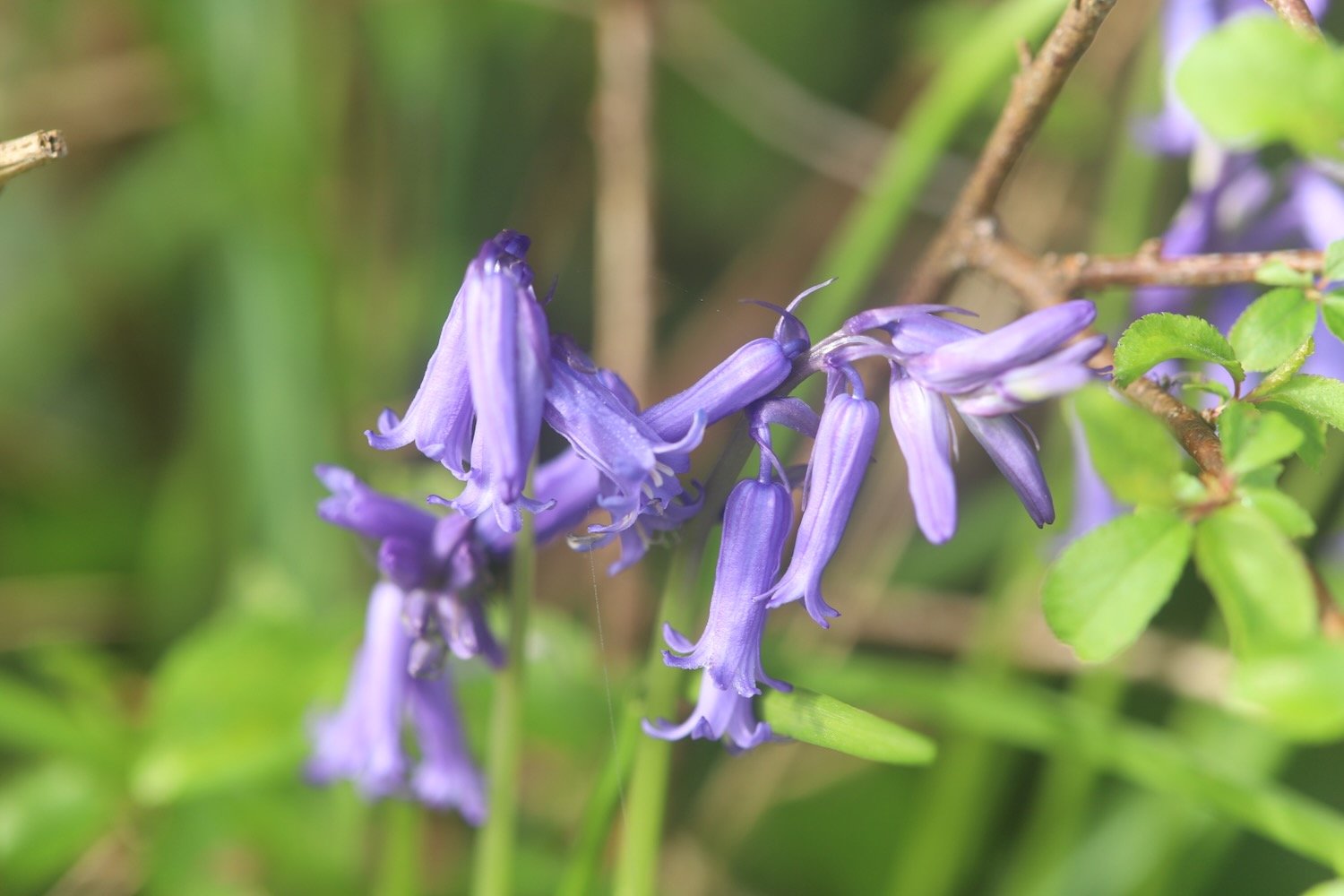
bluebells
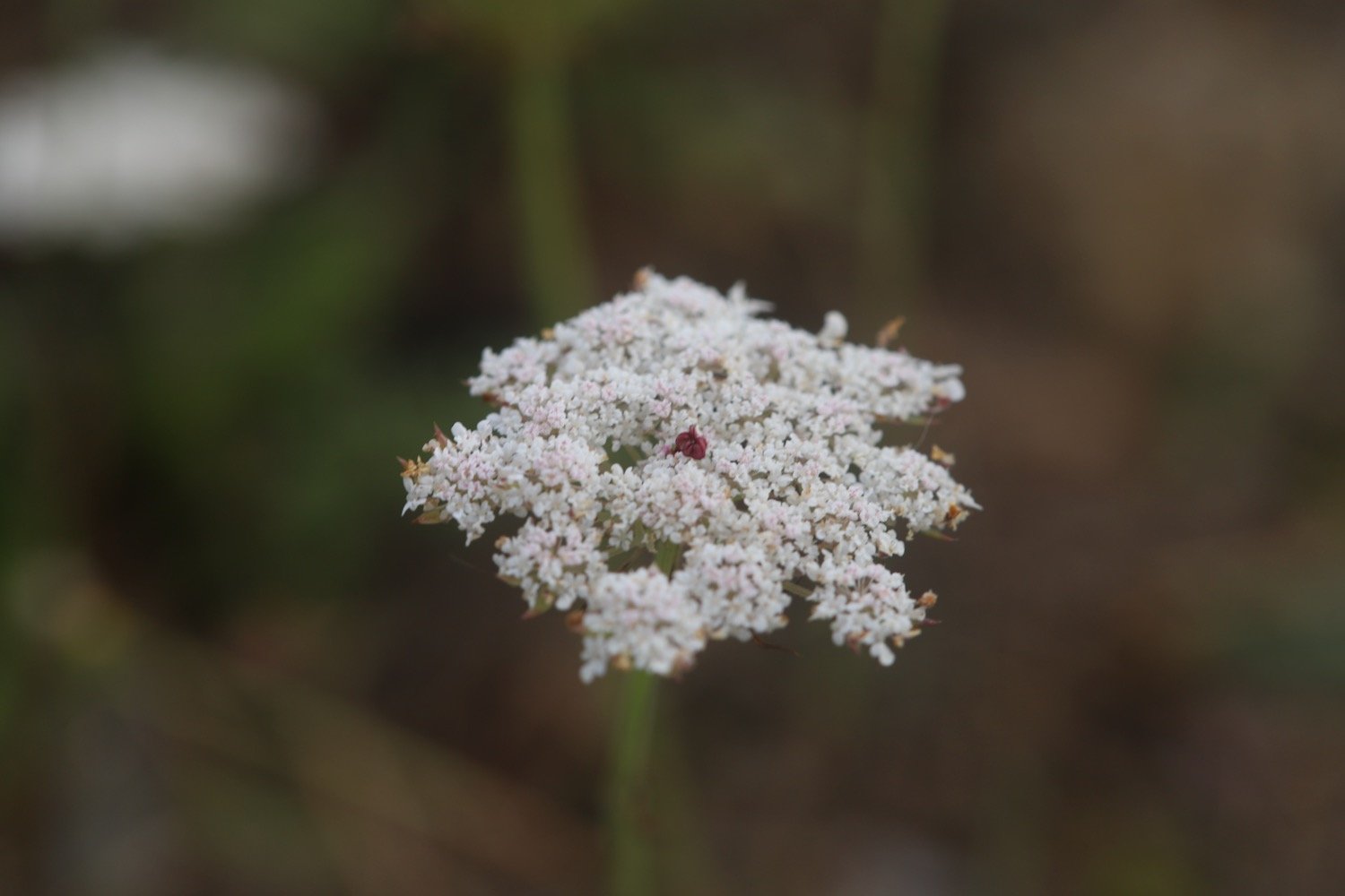
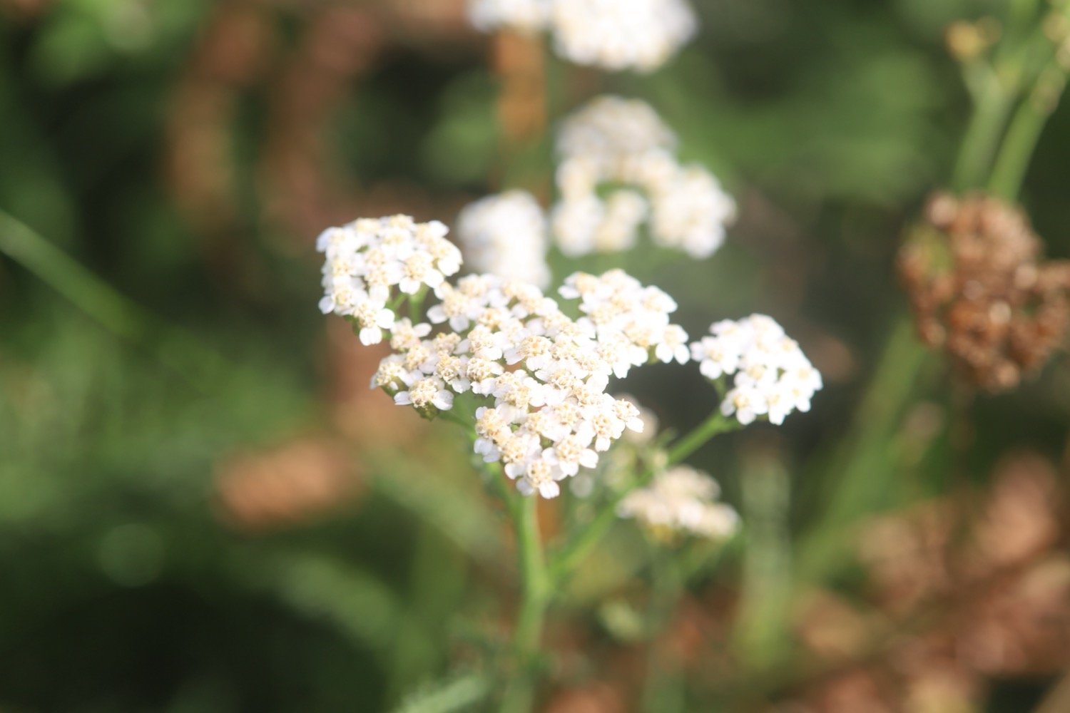
cow parsley
greater stitchwort
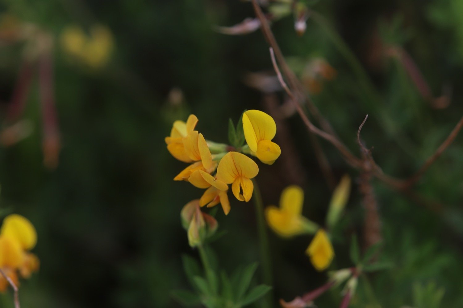
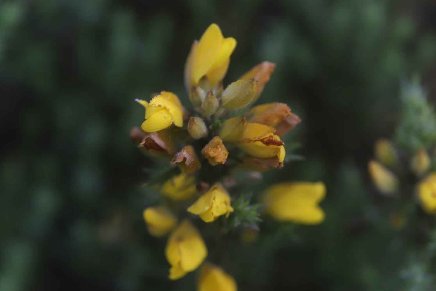
gorse
primrose
wild garlic
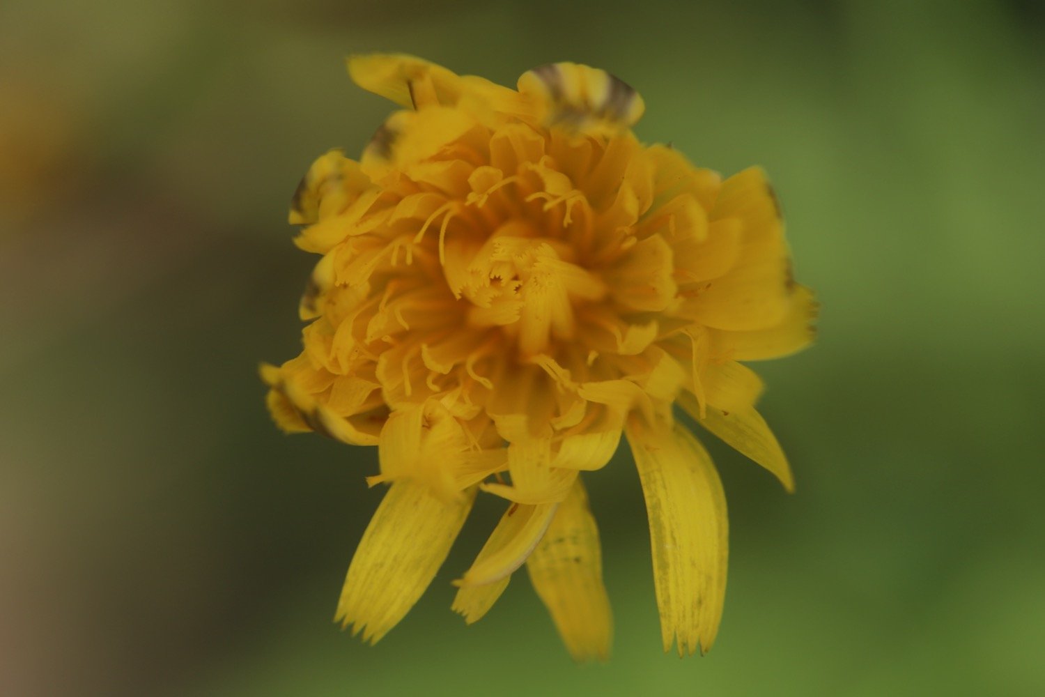
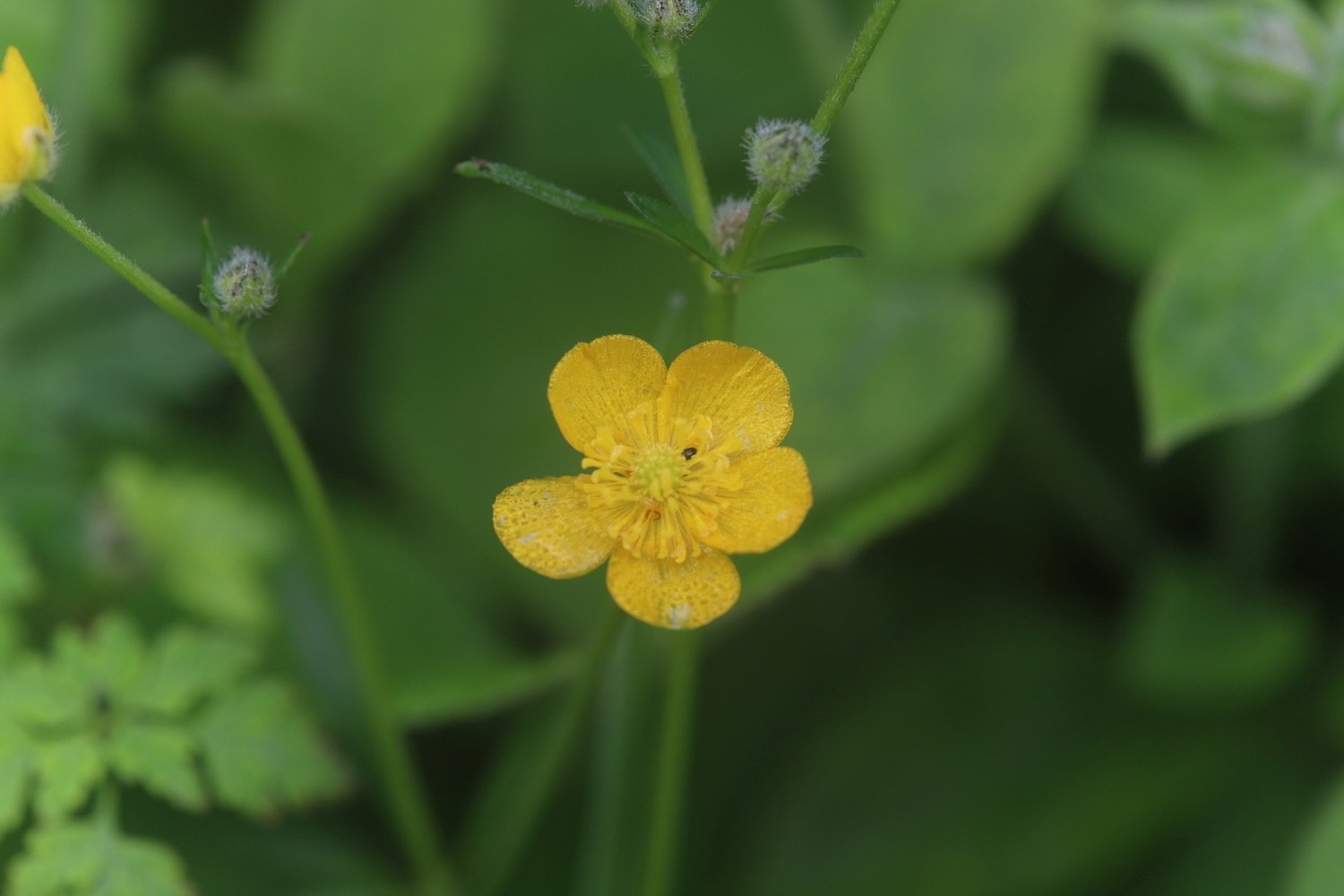
celandine
navelwort
japanese knotweed
bugle
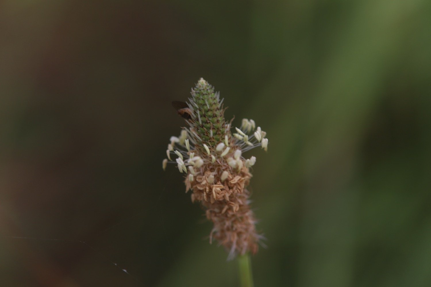
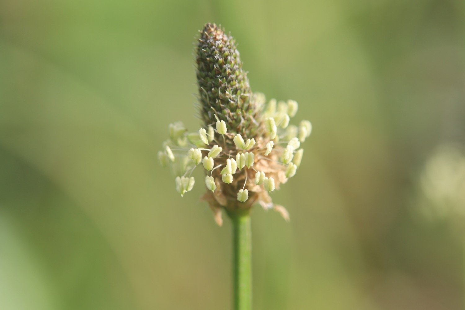
ribwort plantain
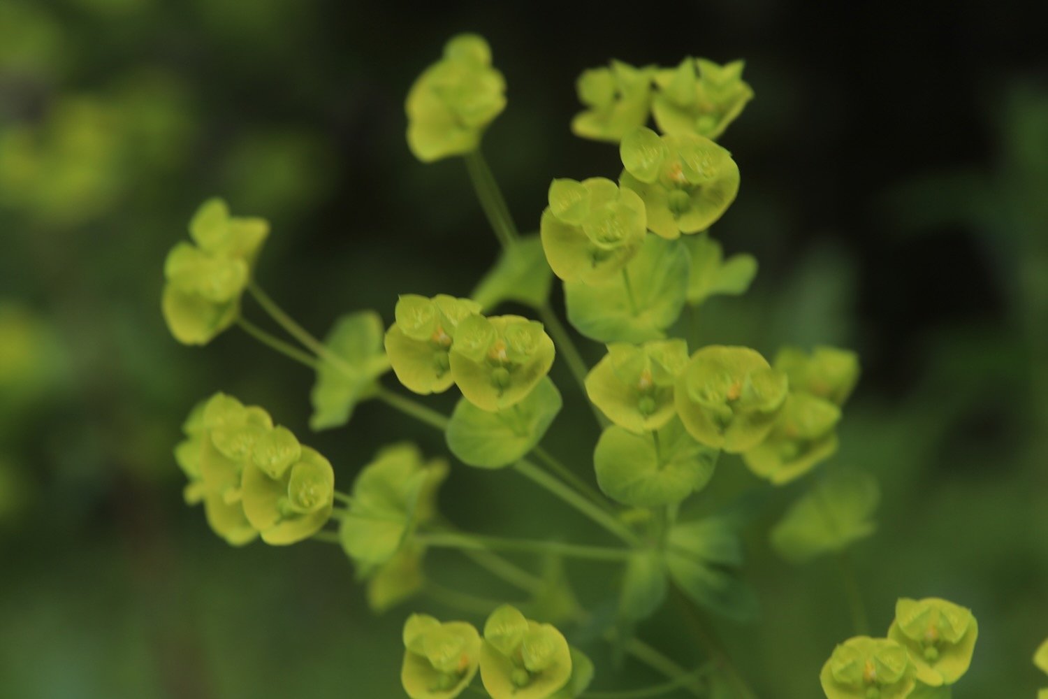
wood spurge
dog rose
foxglove
common dog-violet
wild strawberry
forget-me-not
green alkanet
honesty
wisteria
pheasants
speckled wood butterflies
song thrush
wrens
blackcaps
great tits
heron
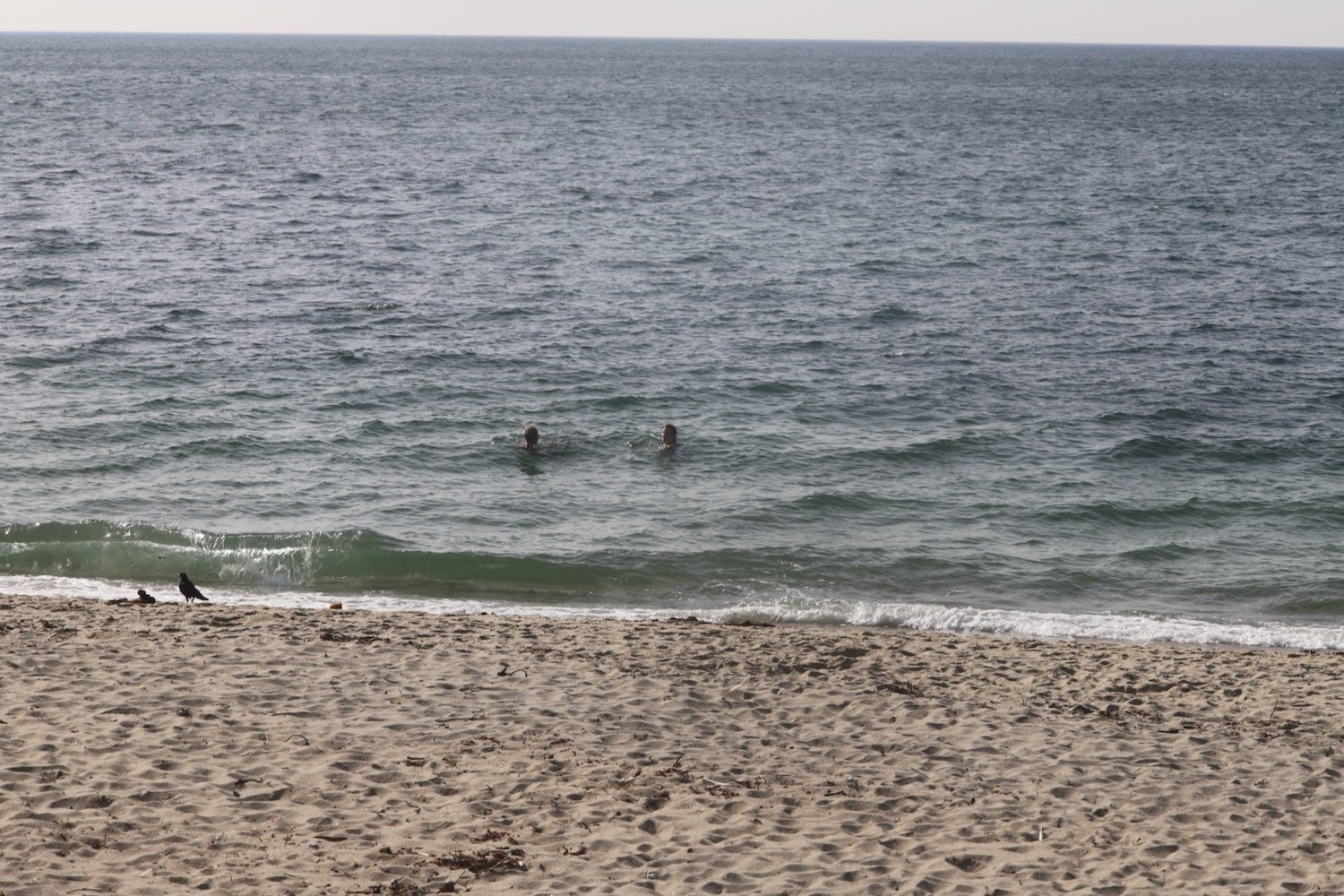
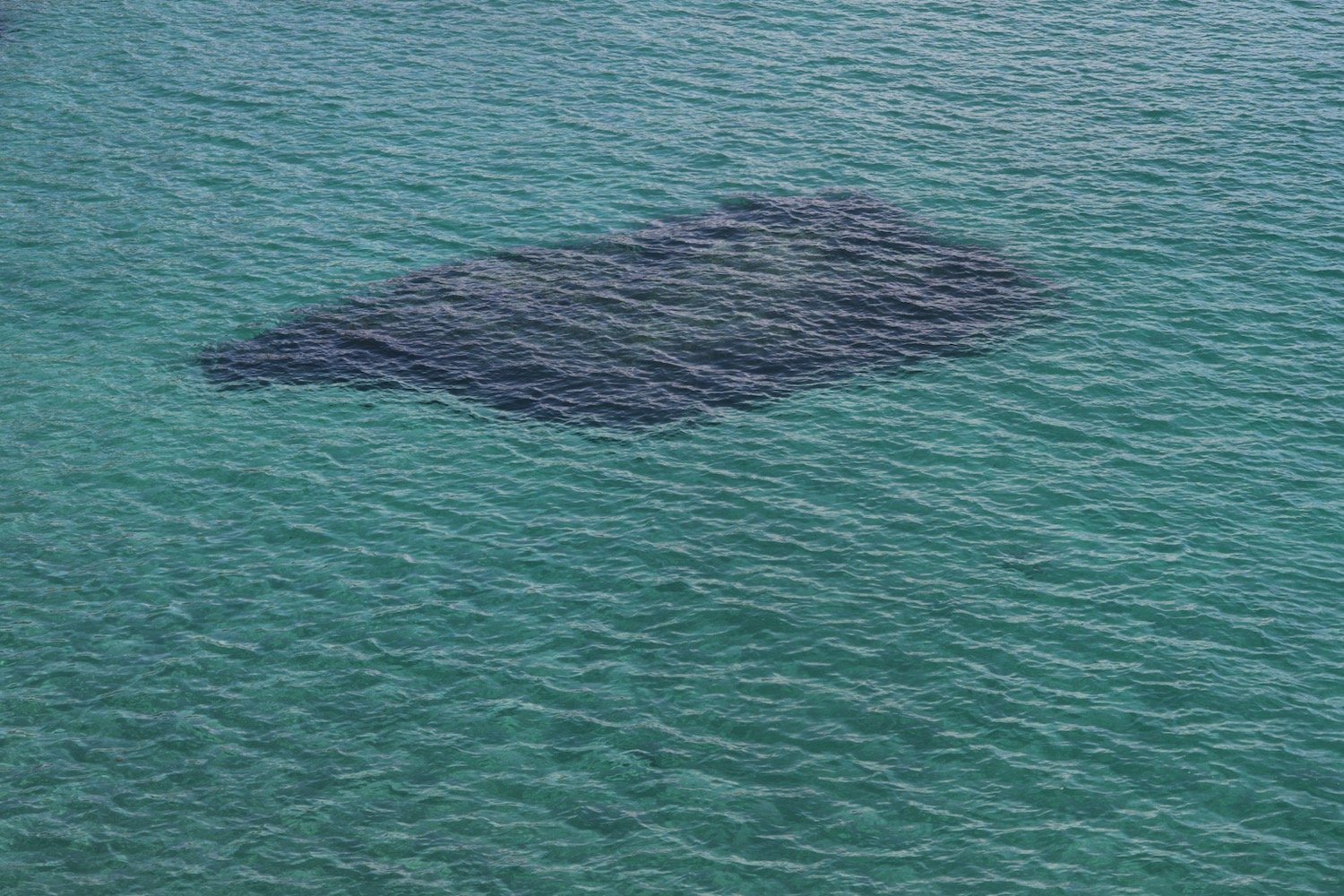
seal
whitethroats

PODCAST
The podcast of today's walk is now available. You can subscribe via Apple Podcasts or listen using the player below.

MARKS OUT OF TEN?
According to my phone I've walked 10.4 miles which amounts to 25285 steps. It has taken me five and a quarter hours. The weather started off misty but turned into a rather nice day. Shame about the photos. Eight out of ten!
WALK DETAILS
MAP
the view from heron’s rest
early purple orchid
steam train

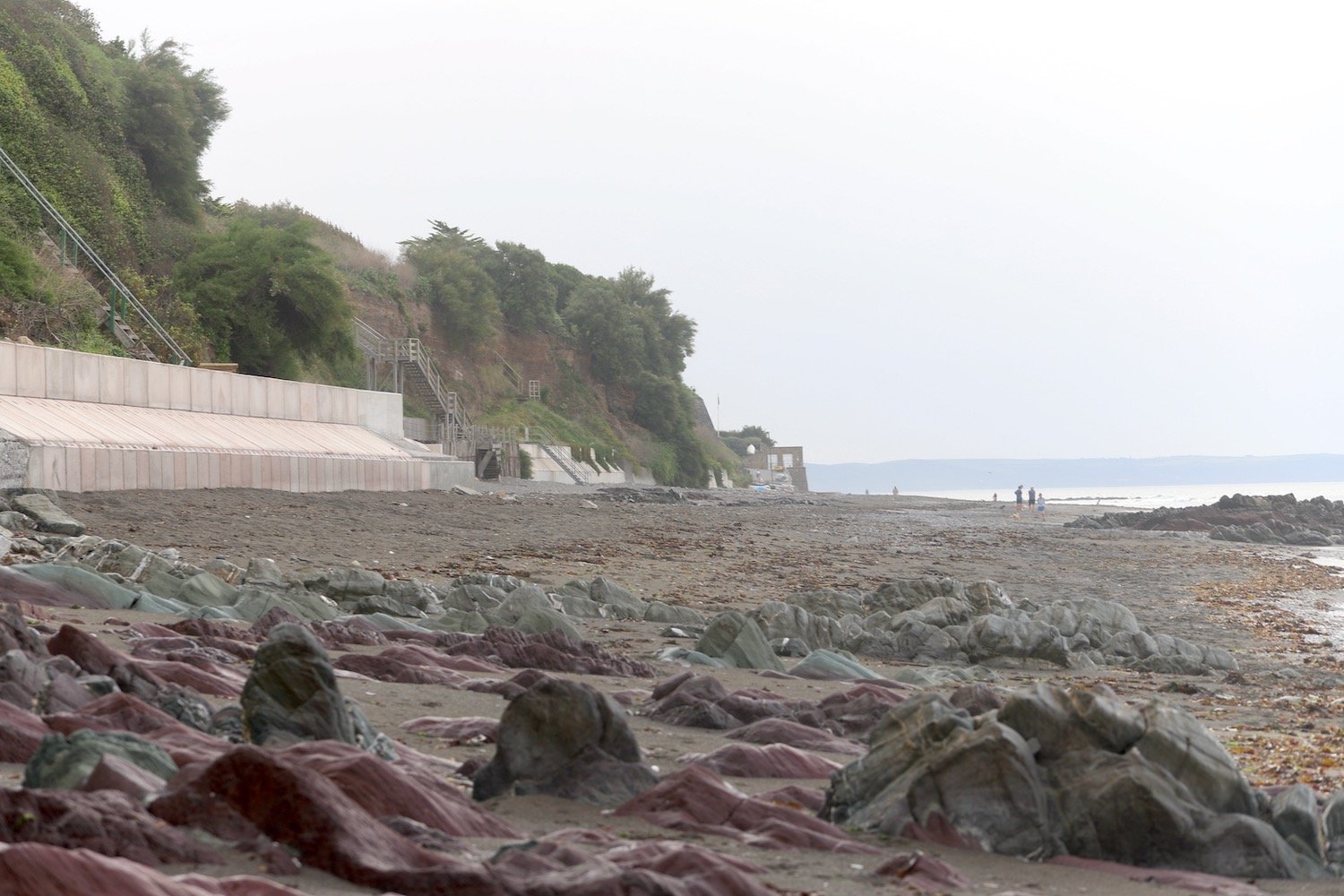
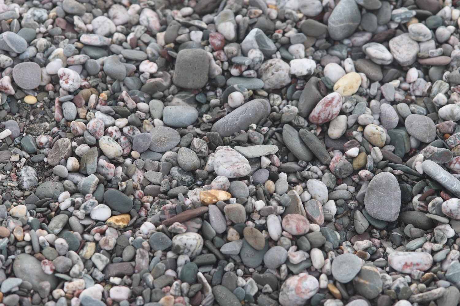
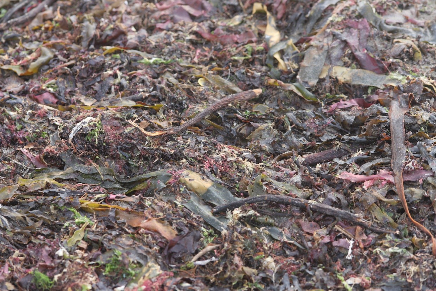
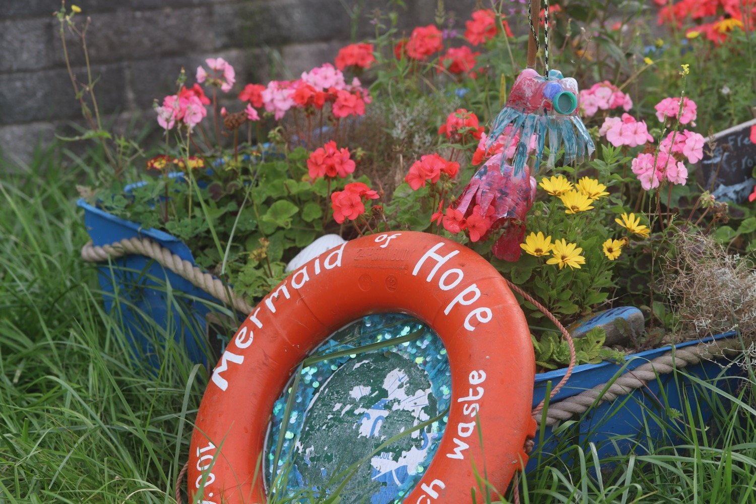
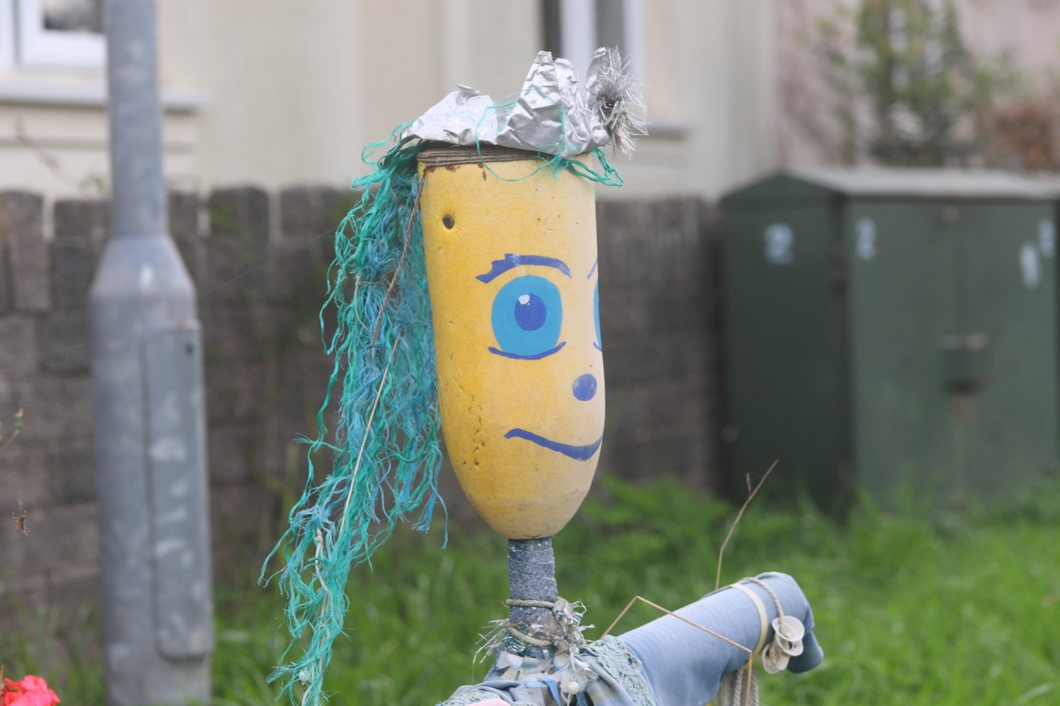
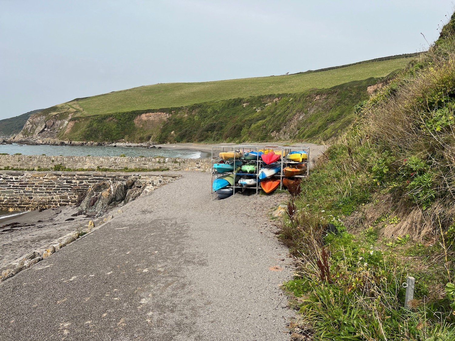
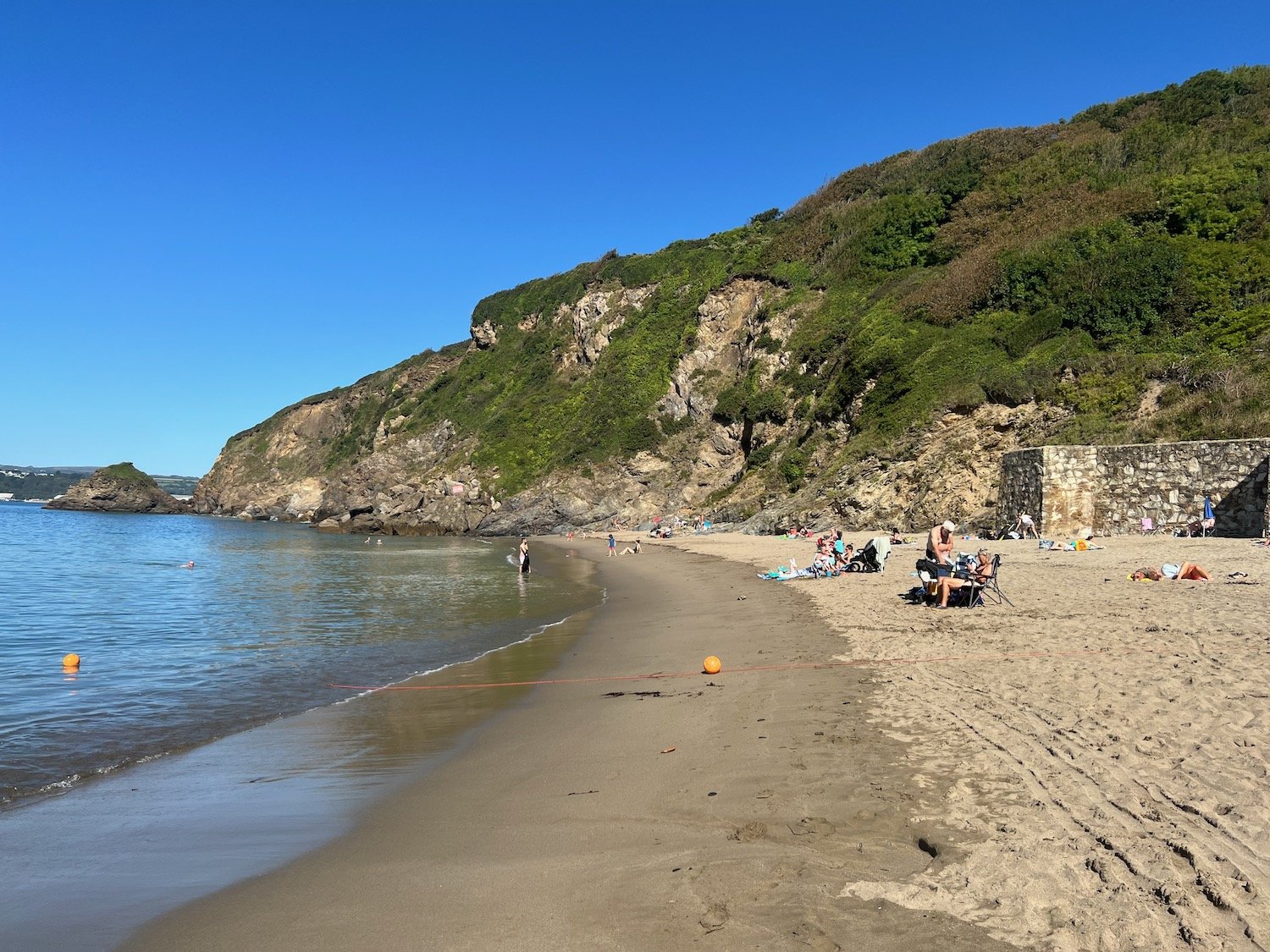
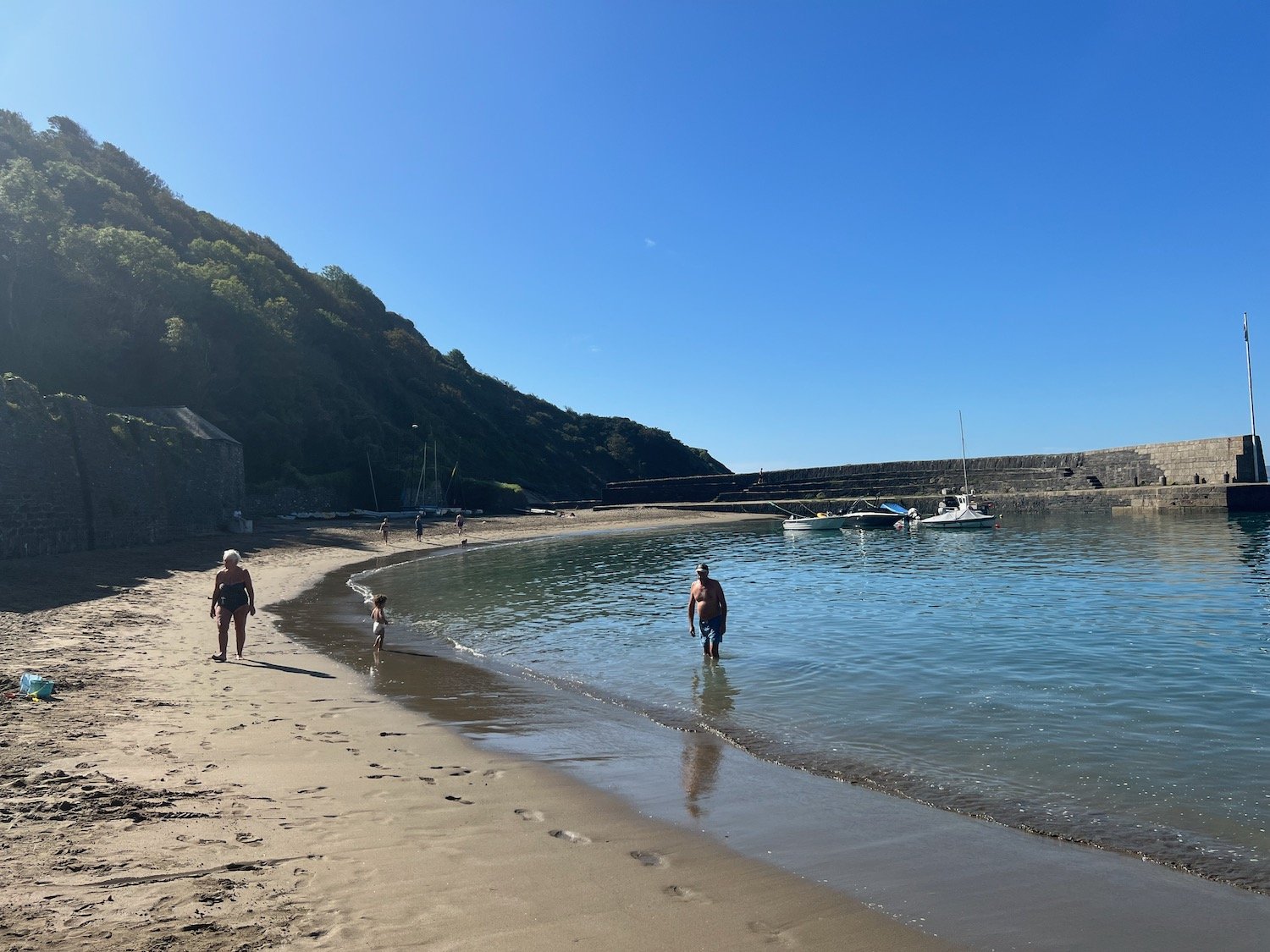
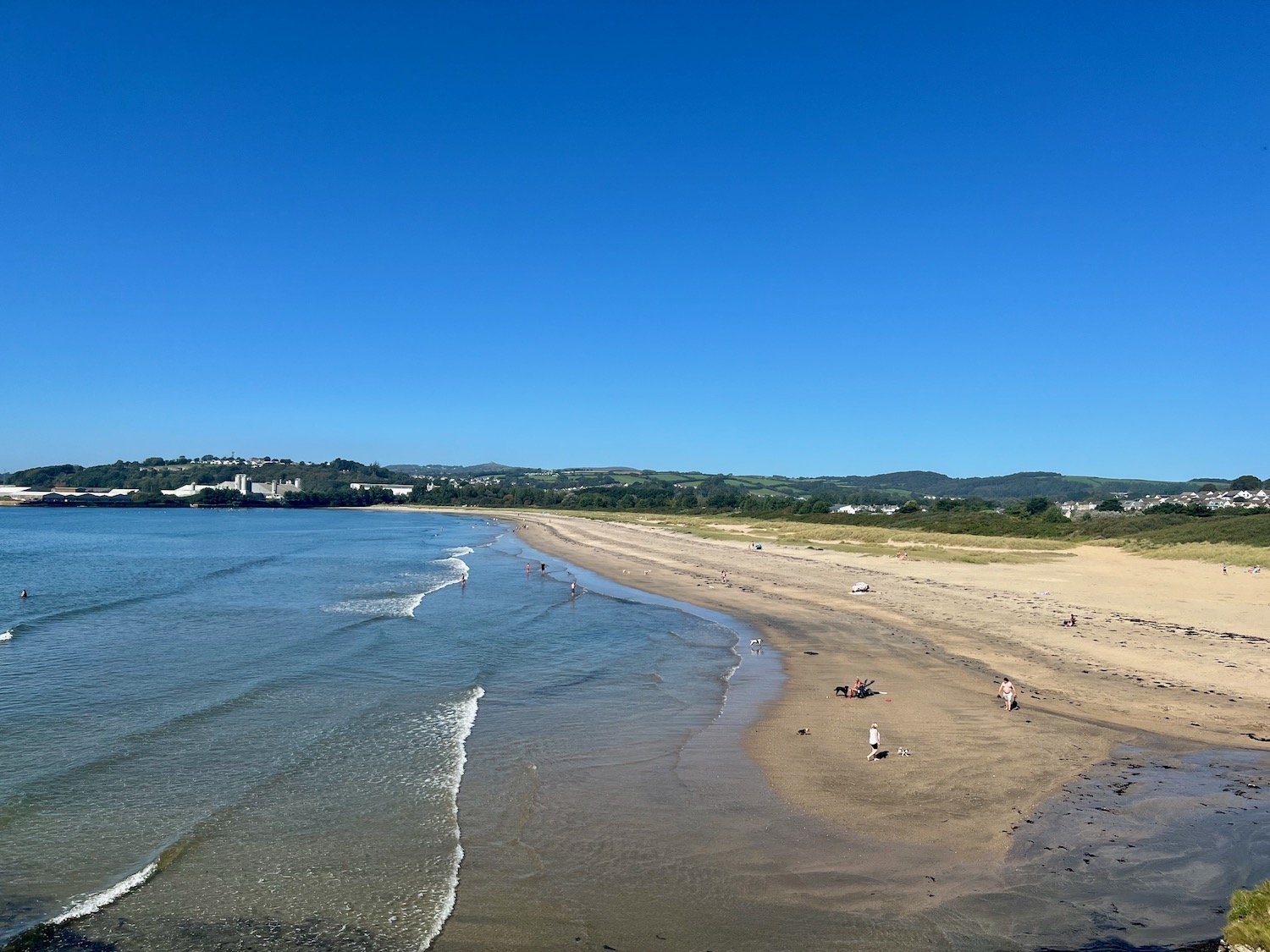
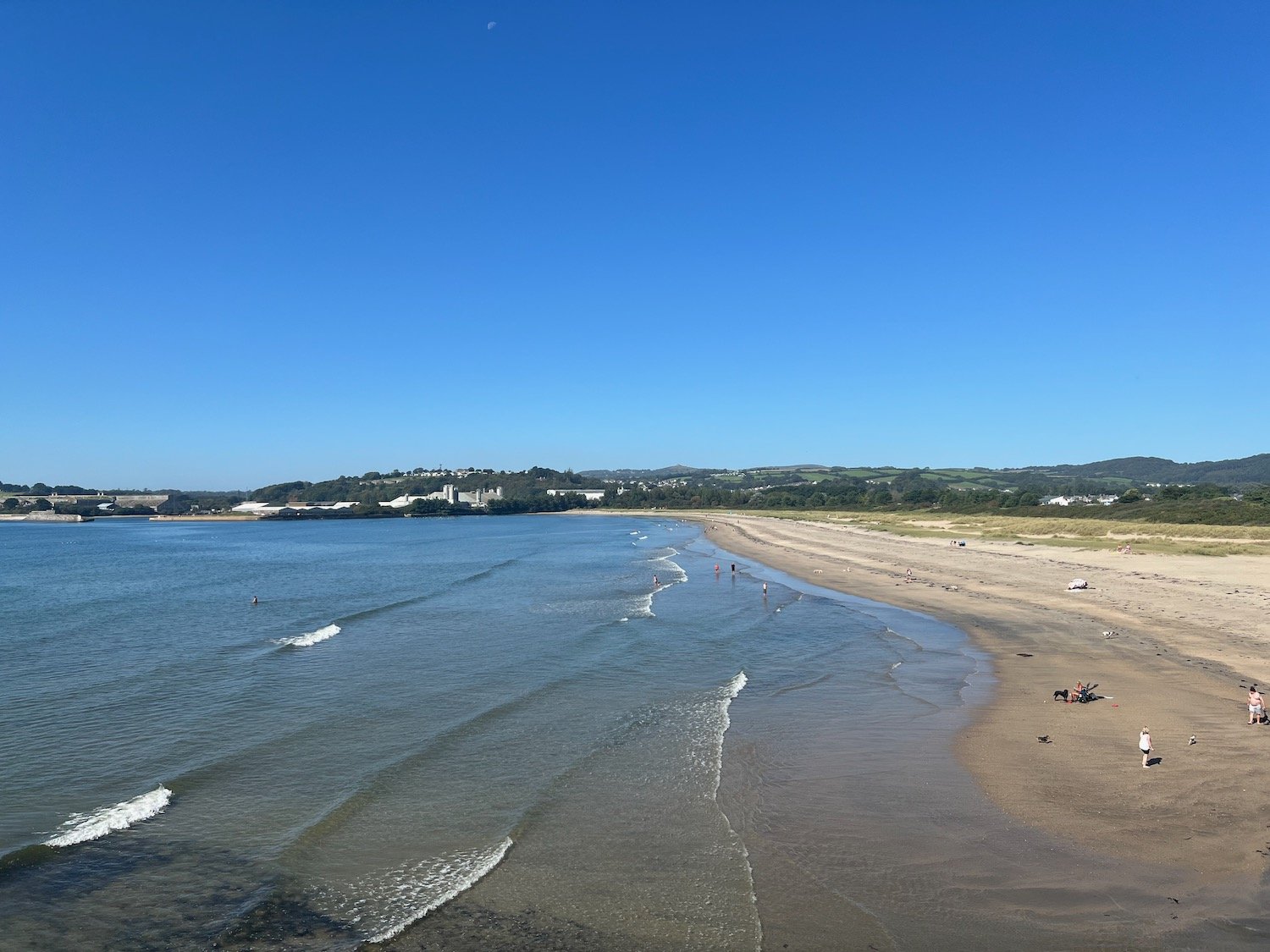
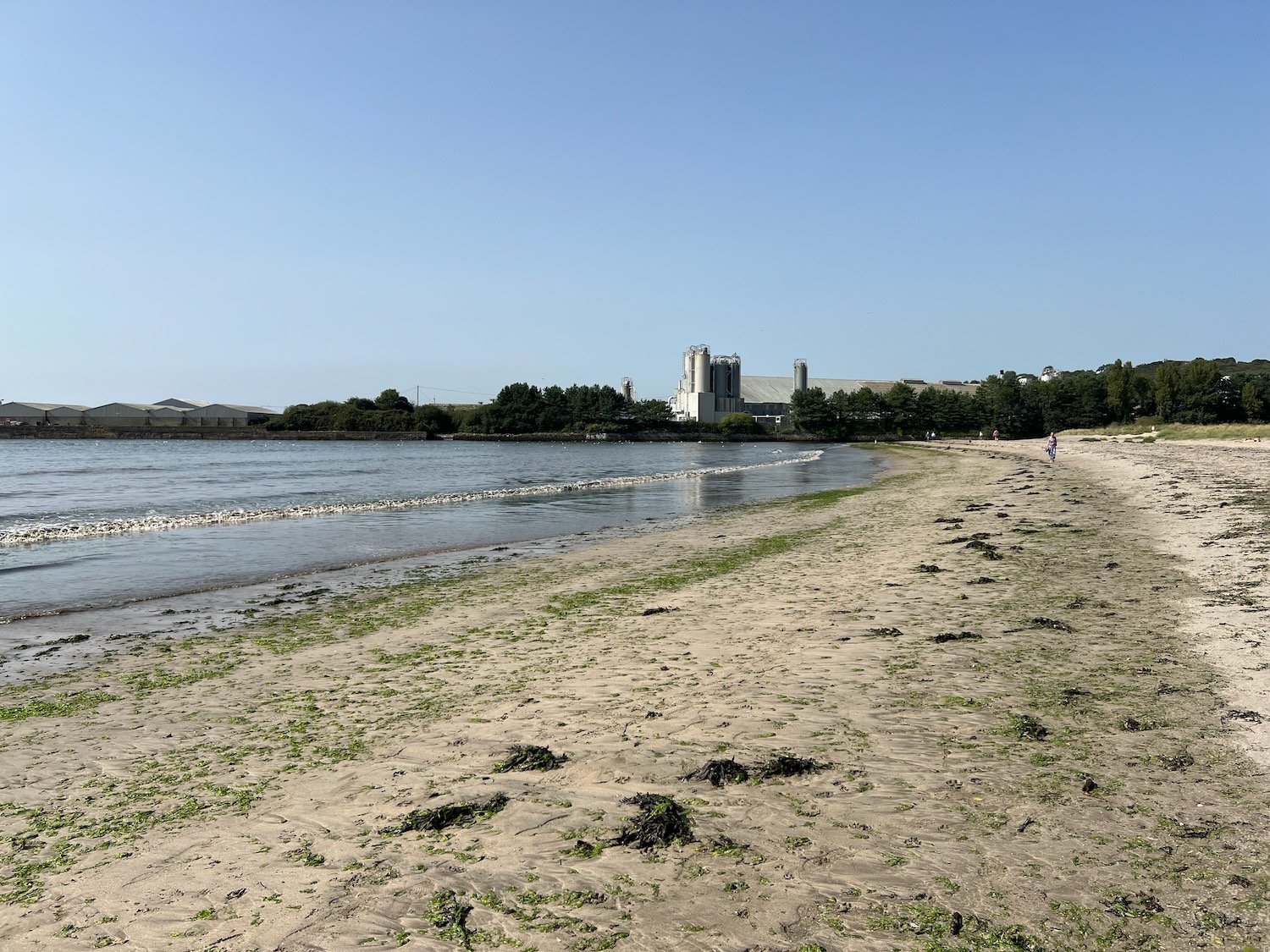
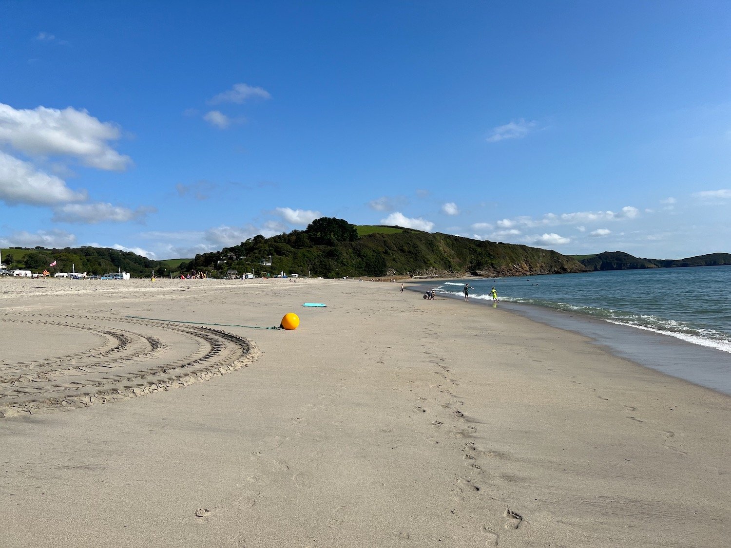
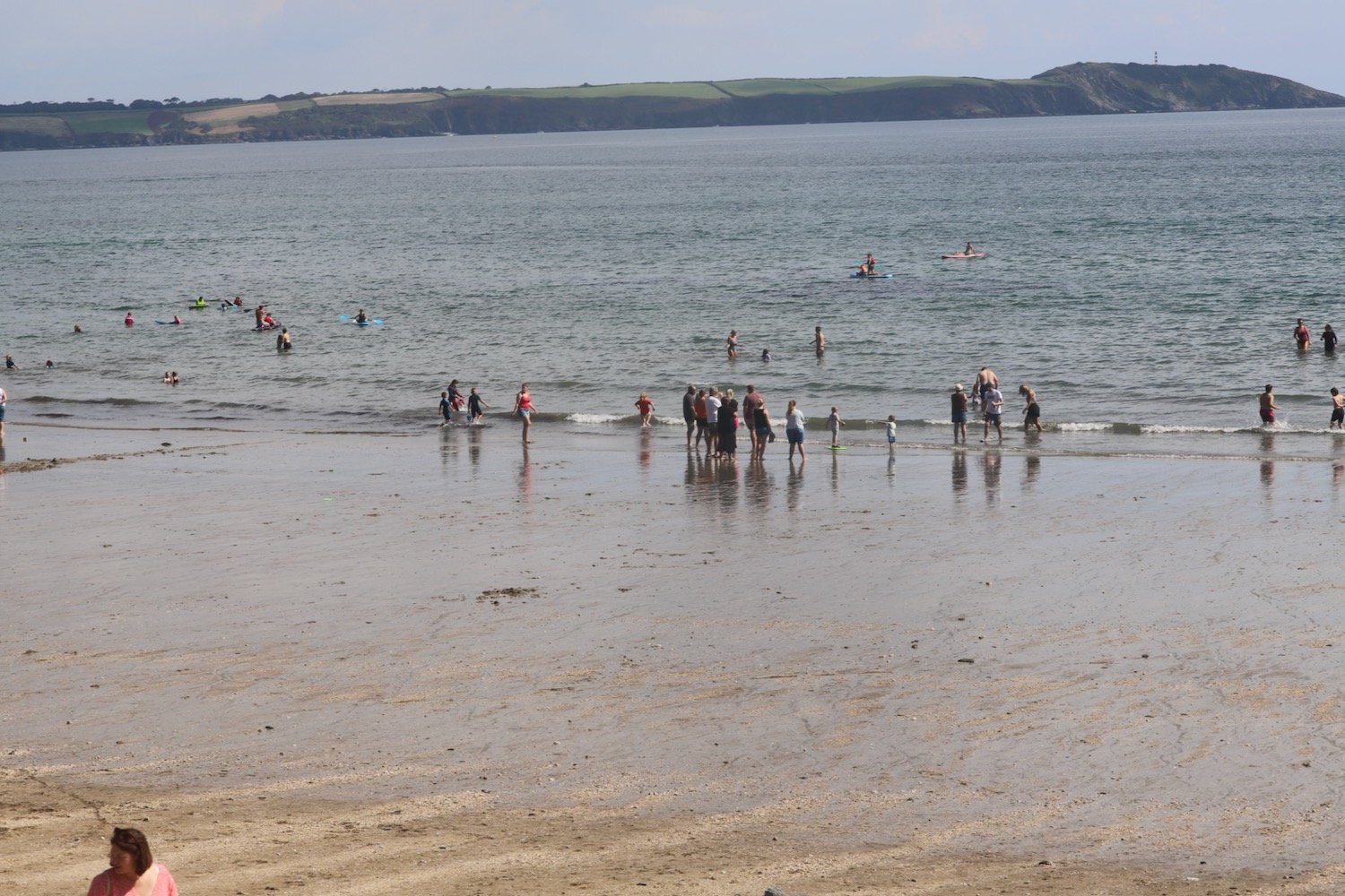
beach collection