fowey to par sands

south west coast path

wednesday, 6th september 2023

Start location: Fowey (SX 12612 51668)

End point: Par Sands (SX 08682 53048)

Map: Explorer 107

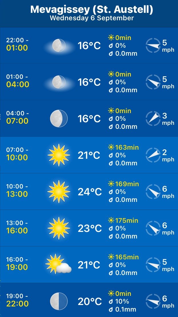
The weather forecast for the whole week looks to be fantastic although it’ll be way too hot for walking. It looks like today I'll have a lovely day of beautiful weather with sun forecast for all day long and barely a breath of wind.

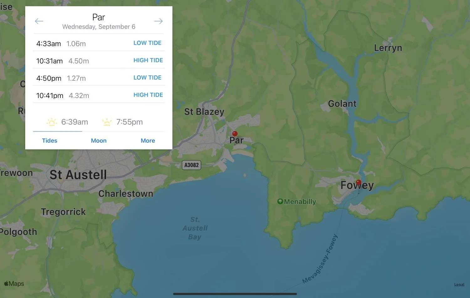
Par Sands high tide 10:31

Par Sands low tide 16:50

I start the day at the car park above Fowey where I wander down in to the main part of the town. All the buildings are rammed in tightly and the town is busy with lorry deliveries of beer barrels.
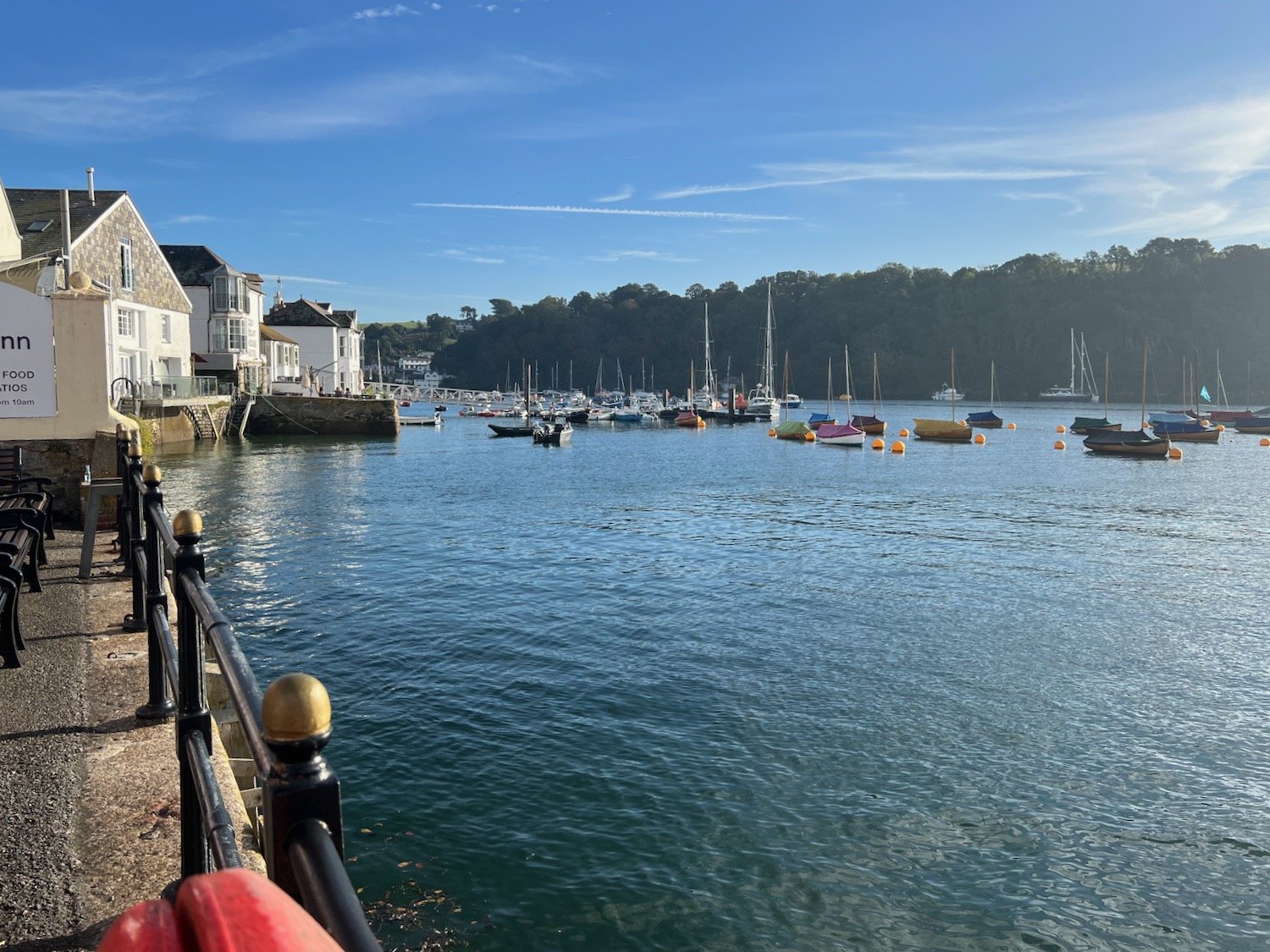
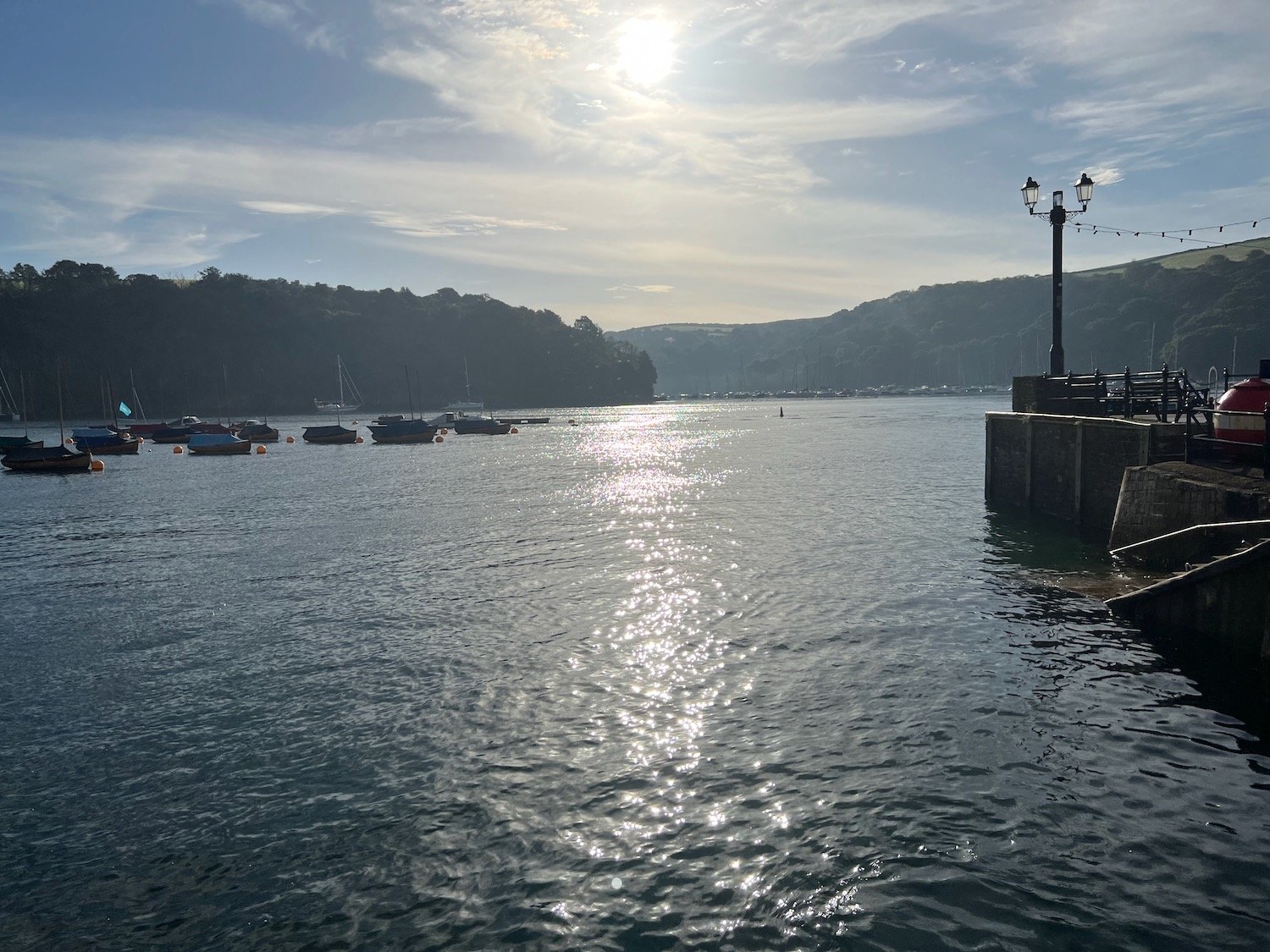
I head back up towards the car park and walk along the Esplanade where I pass the Fowey to Polruan ferry at Whitehouse.

whitehouse

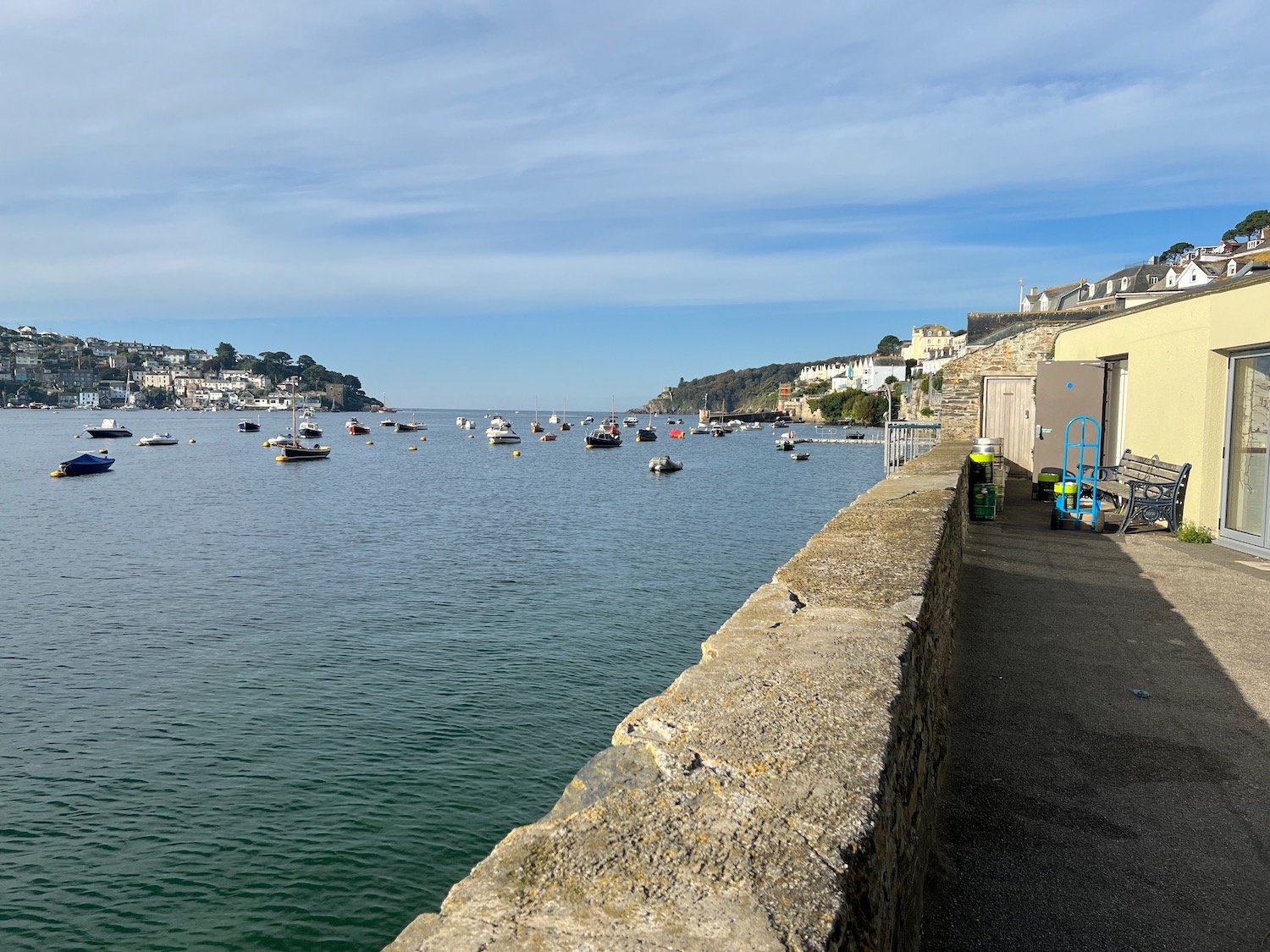
At Whitehouse I have lovely views over to Polruan.

view to polruan

I head along Readymoney Road where I take up with local dog walkers and arrive at Readymoney Cove Beach, a small, sheltered sandy beach.

readymoney cove

readymoney cove

I leave Readymoney Cove and now have lovely views over to Polruan and up the River Fowey.

view back to polruan

view back to fowey

I pass the remains of St Catherine's Castle, one of a pair of small artillery forts built by Henry VIII in the 1530s to defend Fowey Harbour.
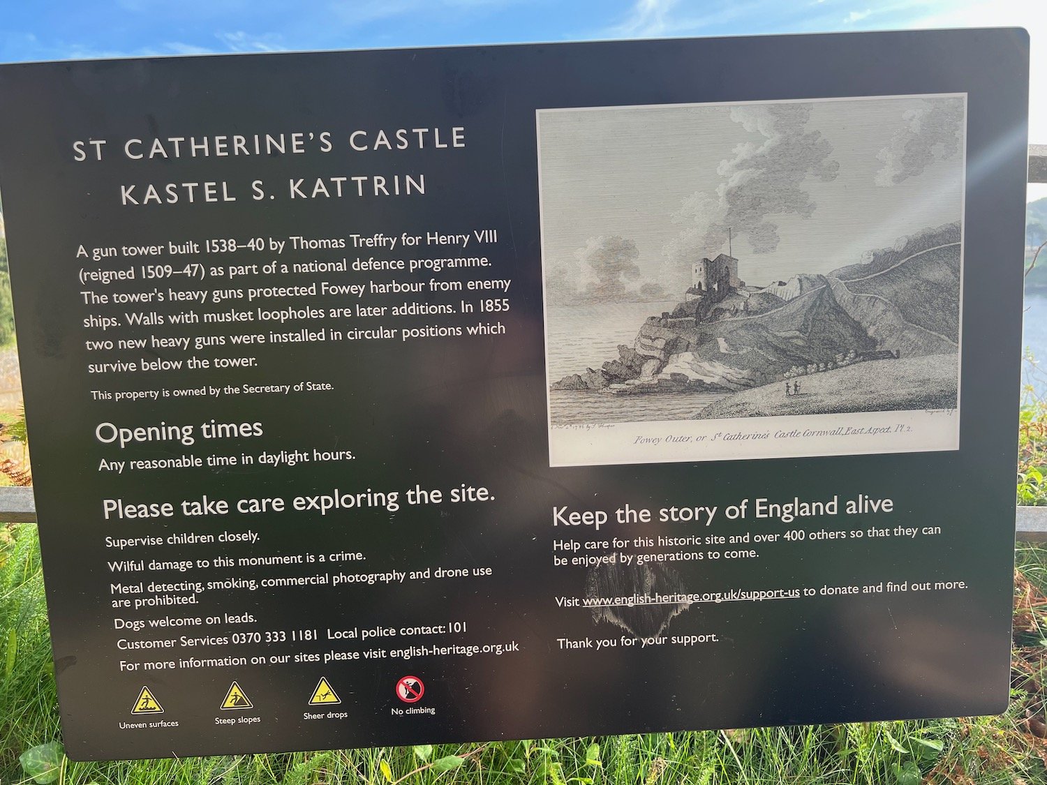
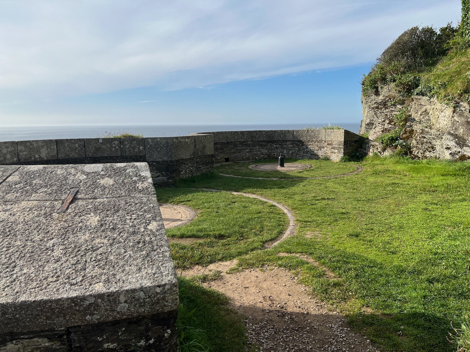
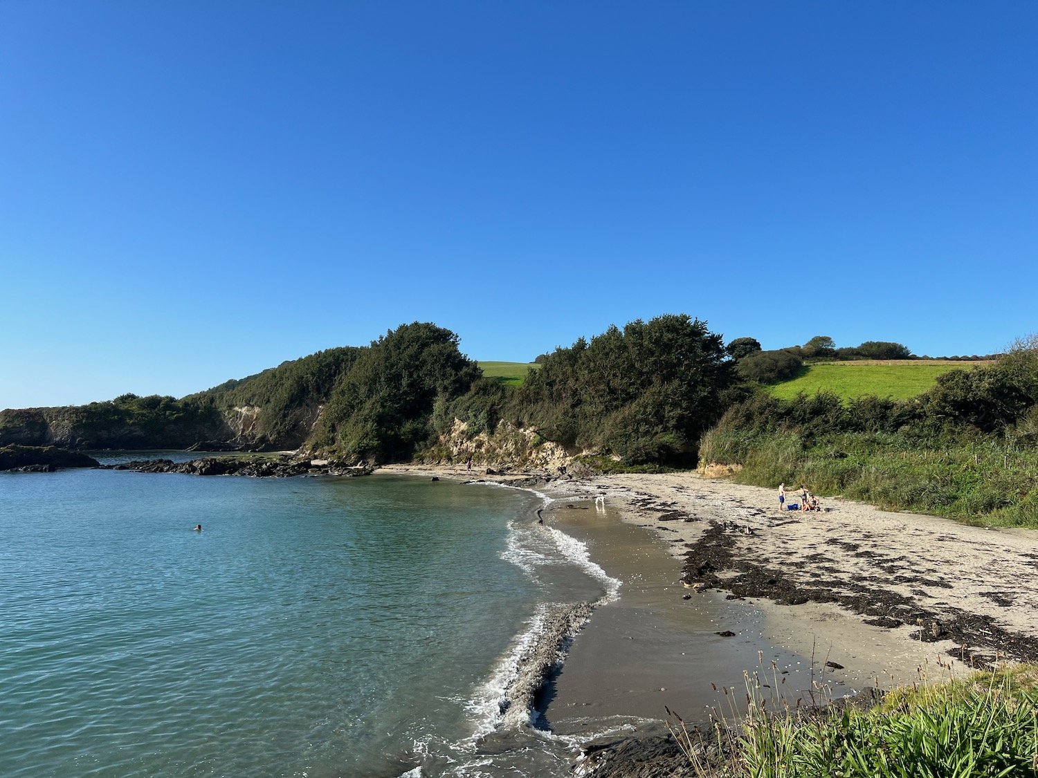
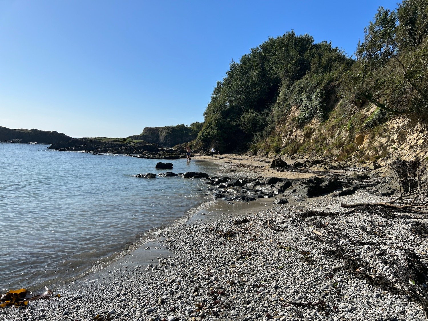
I pass over Penventinue Cove and then pass Coombe Haven which is completely deserted except for some stranded jellyfish. I head up onto Southground Cliffs and Lankelly Cliff.

coombe haven

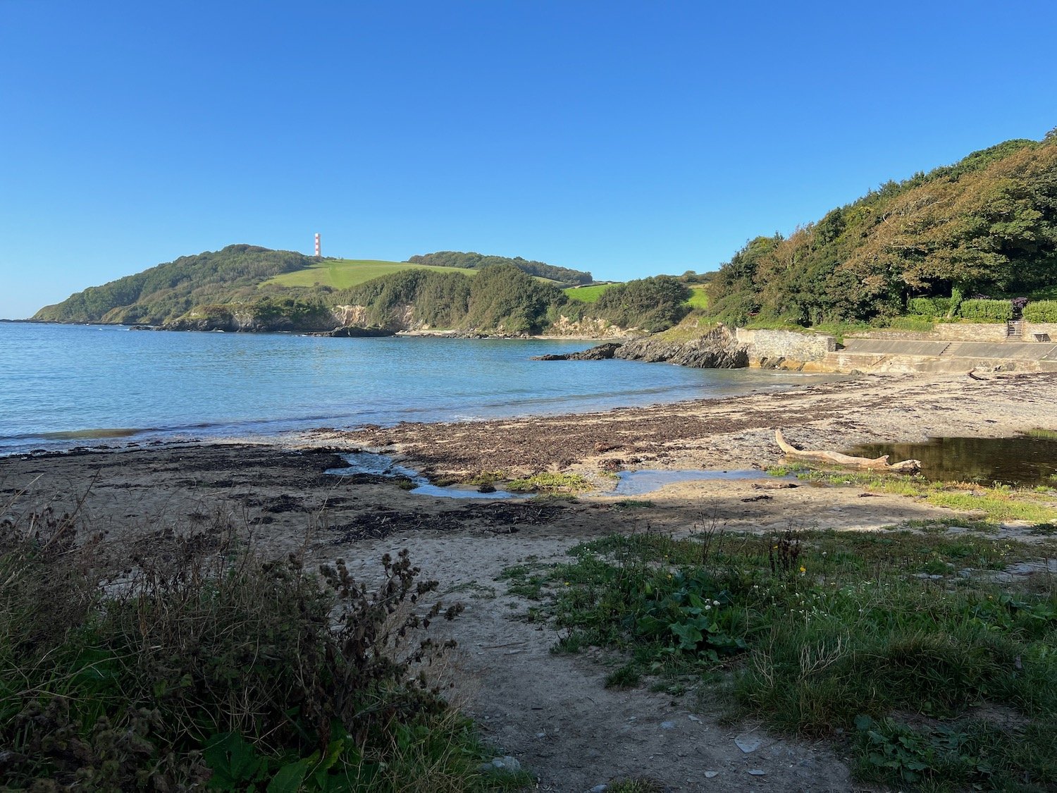
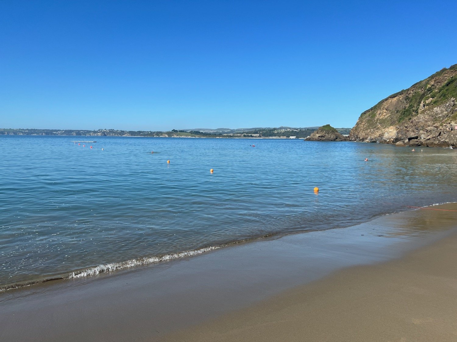
The path descends to the south facing beach at Polridmouth Cove, which actually consists of two beaches. From the first beach I can see the beacon on Gribbin Head and I then follow the sea wall to reach the second beach which has a few people on it.

I climb grassy slopes at The Gribbin and pass below the 84 foot red and white Gribbin daymark, erected in 1832, enabling sailors to pinpoint the approach to Fowey's harbour.

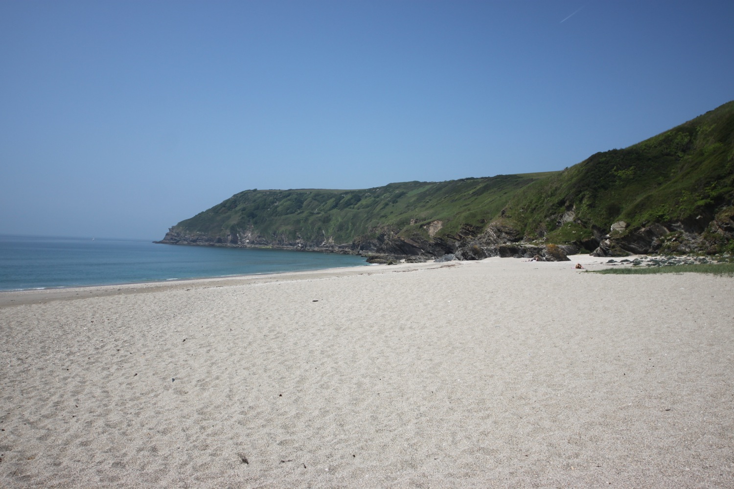
I now have fine views over St Austell Bay where I can make out Par Sands, Carlyon Bay, Charlestown, Du Porth and Porthpean.

st austell bay

I continue along the cliffs and drop down to the beach at Polkerris. Here you can find the Rashleigh Inn where thirsty walkers can stop for a nice pint.

rashleigh inn

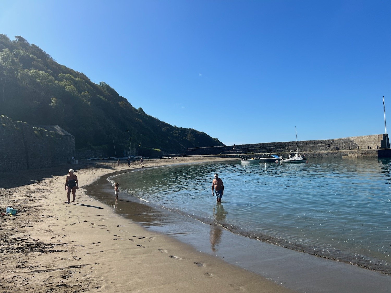
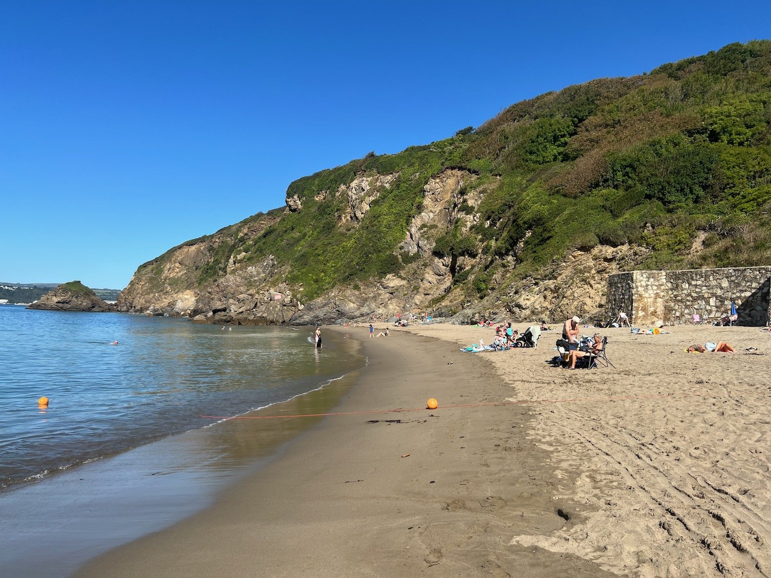
I enjoy the beach for a while which is getting quite busy. A sandy, crescent shaped, south west facing beach can be found here.

I head up the slipway passing Sams on the Beach which is based in the old  Polkerris lifeboat station.

sams on the beach

I climb out of Polkerris and I have lovely views back over the harbour.

polkerris harbour

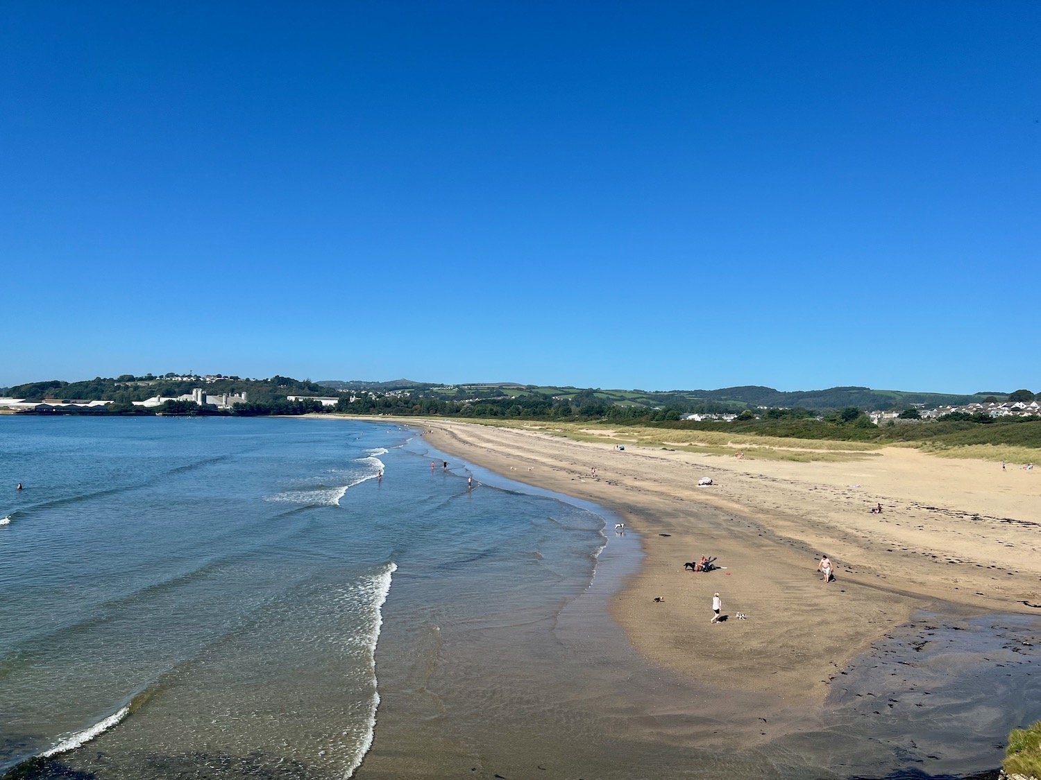
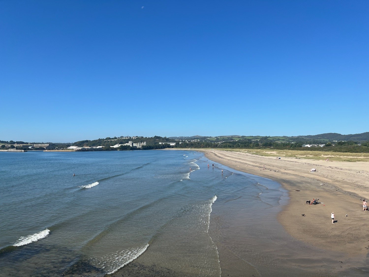
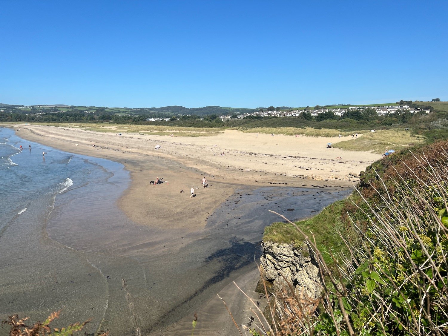
It is now a short hobble to reach the views over Par Sands.

I drop down to the car park at Par Sands, passing the Ship Inn at Polmear on the way.

FLORA AND FAUNA

Flora and fauna encountered on the walk today includes :-

  • red admiral butterflies

  • speckled wood butterflies

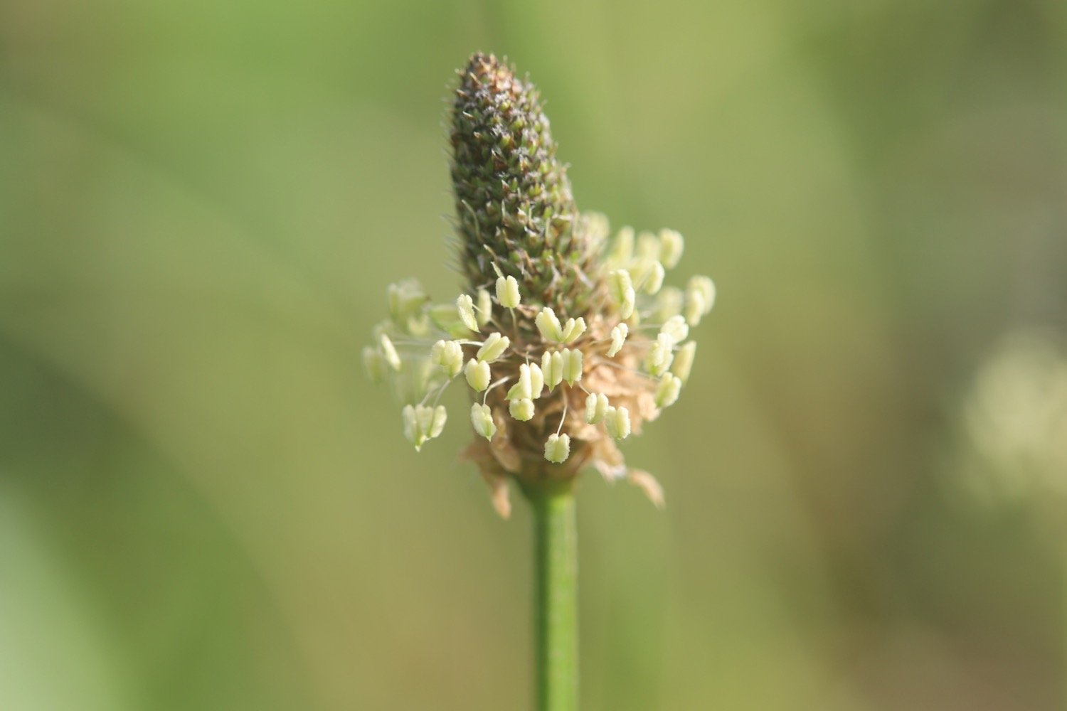
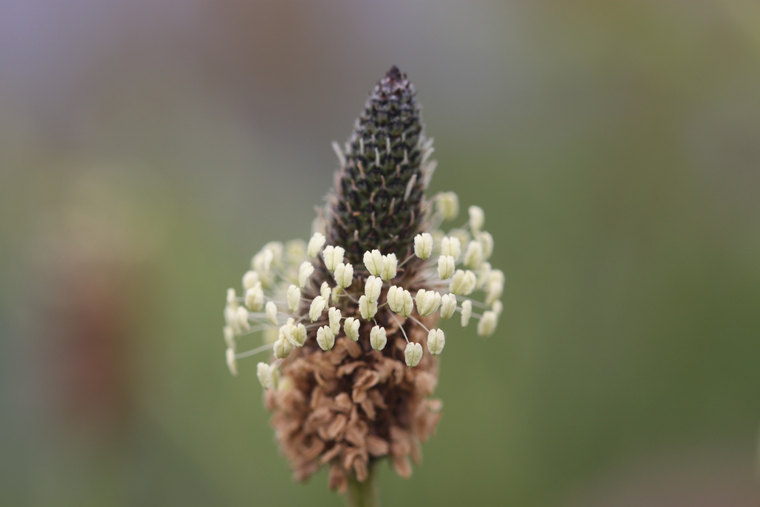
  • ribwort plantain

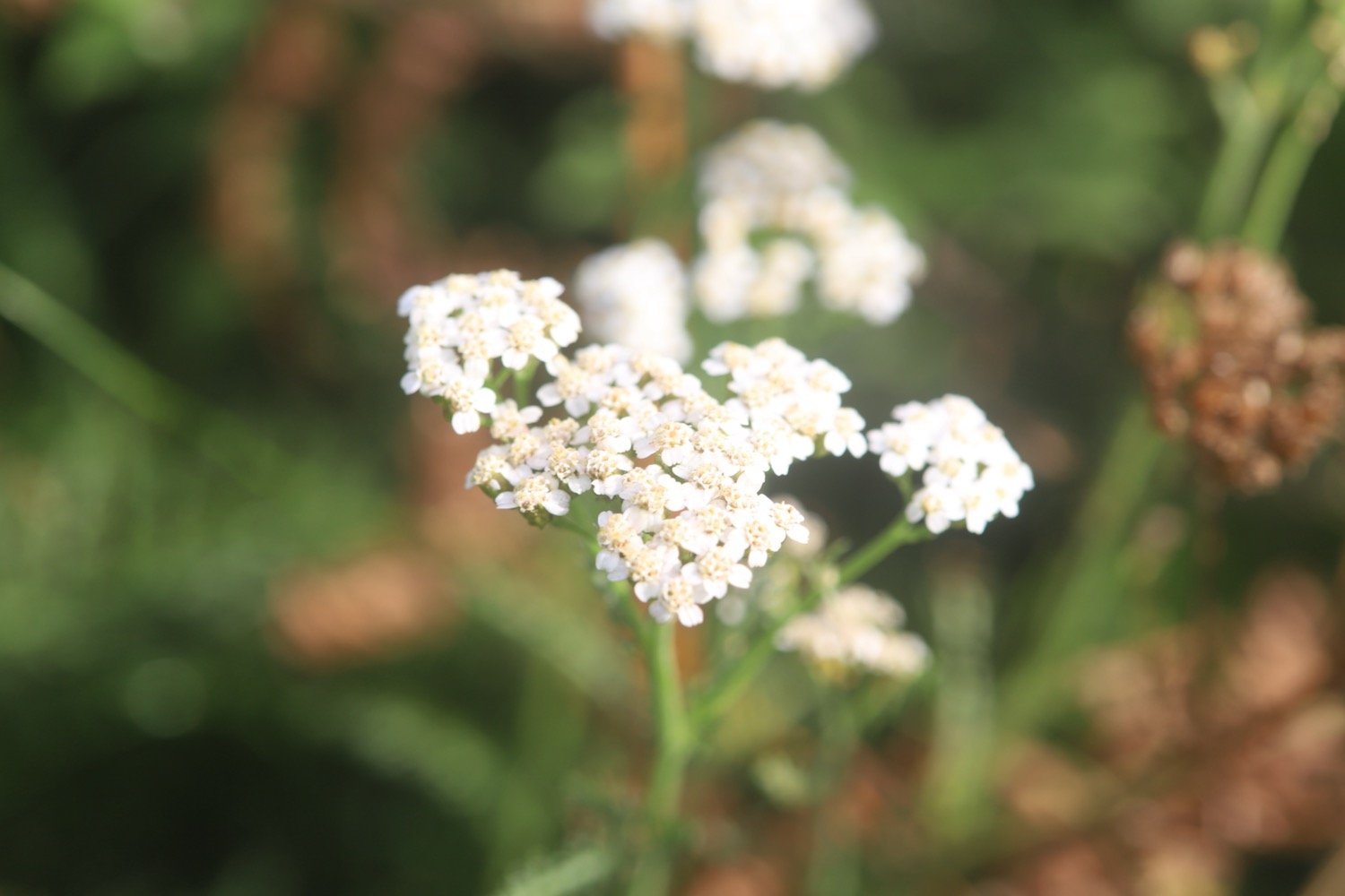
  • yarrow

  • perforate st john’s-wort

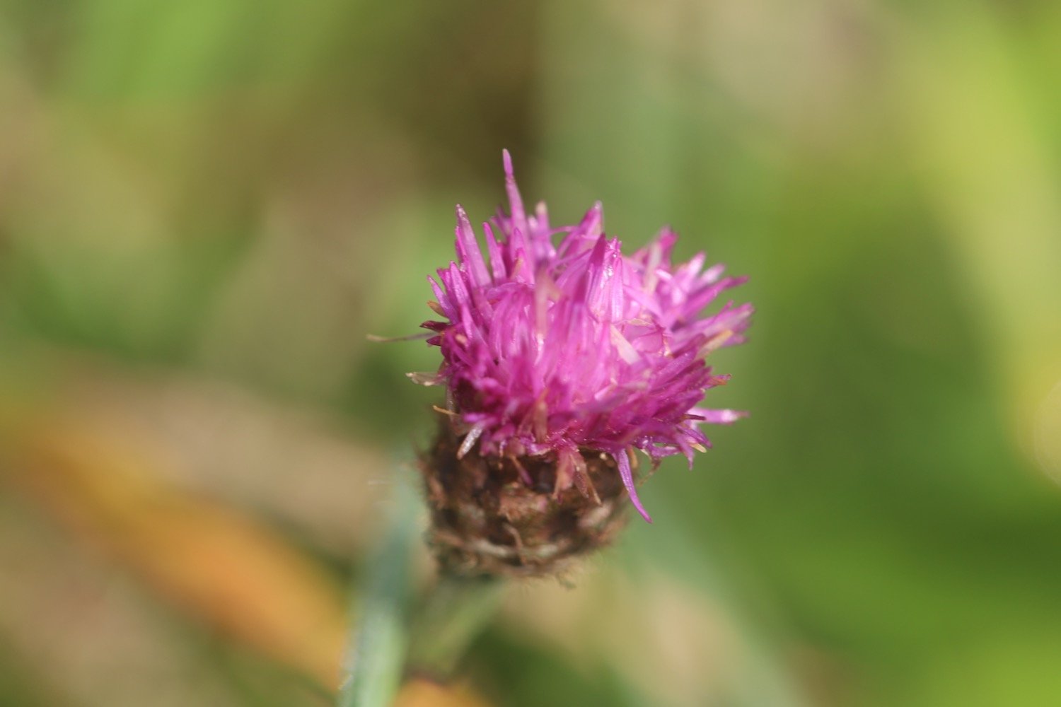
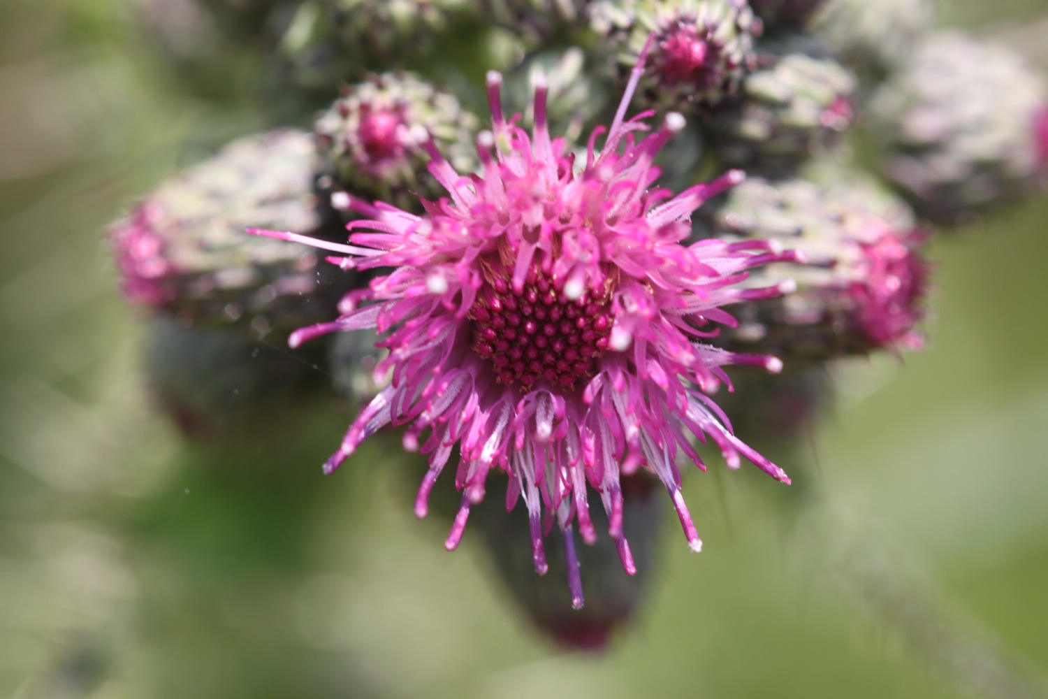
  • knapweed

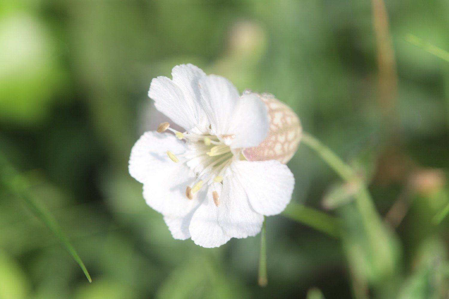
  • bladder campion

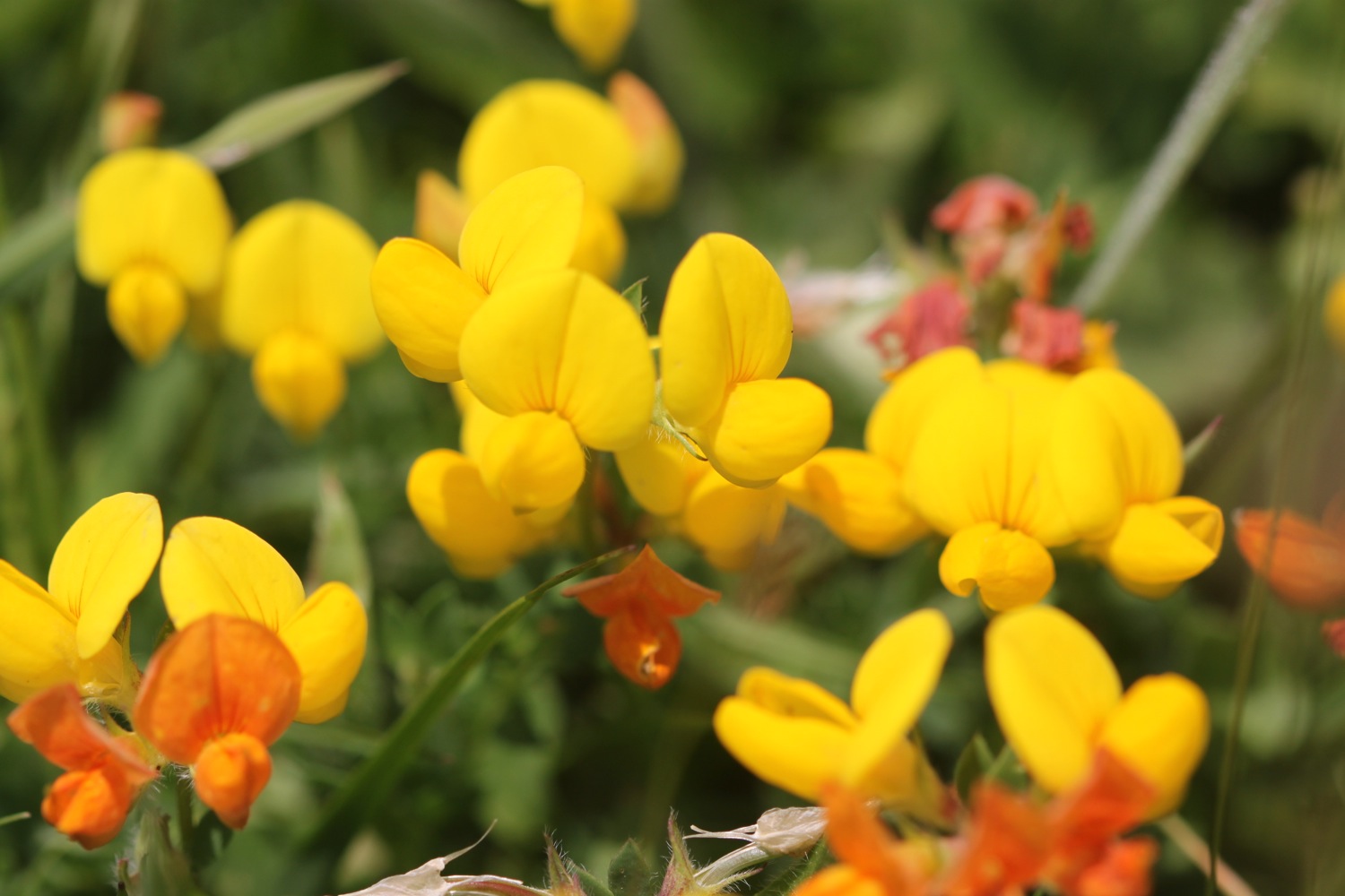
  • bird’s-foot trefoil

  • ragwort

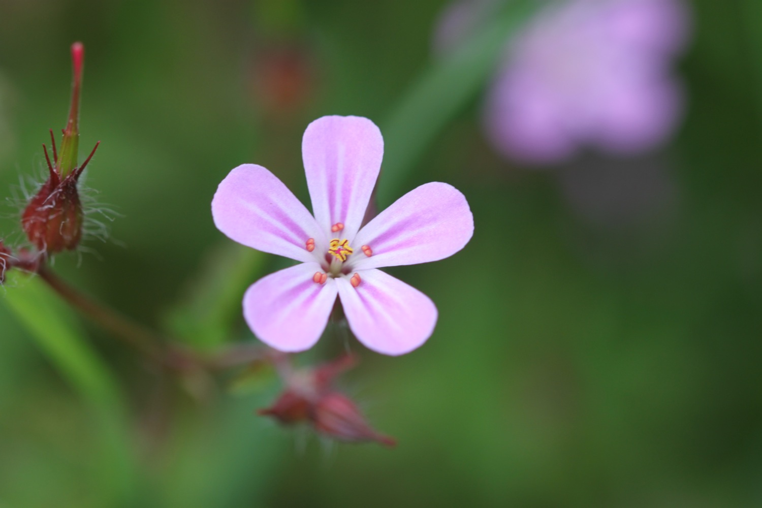
  • herb robert

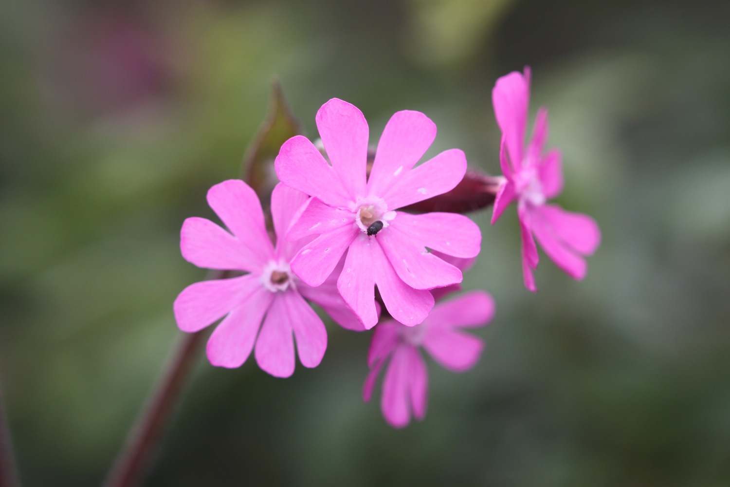
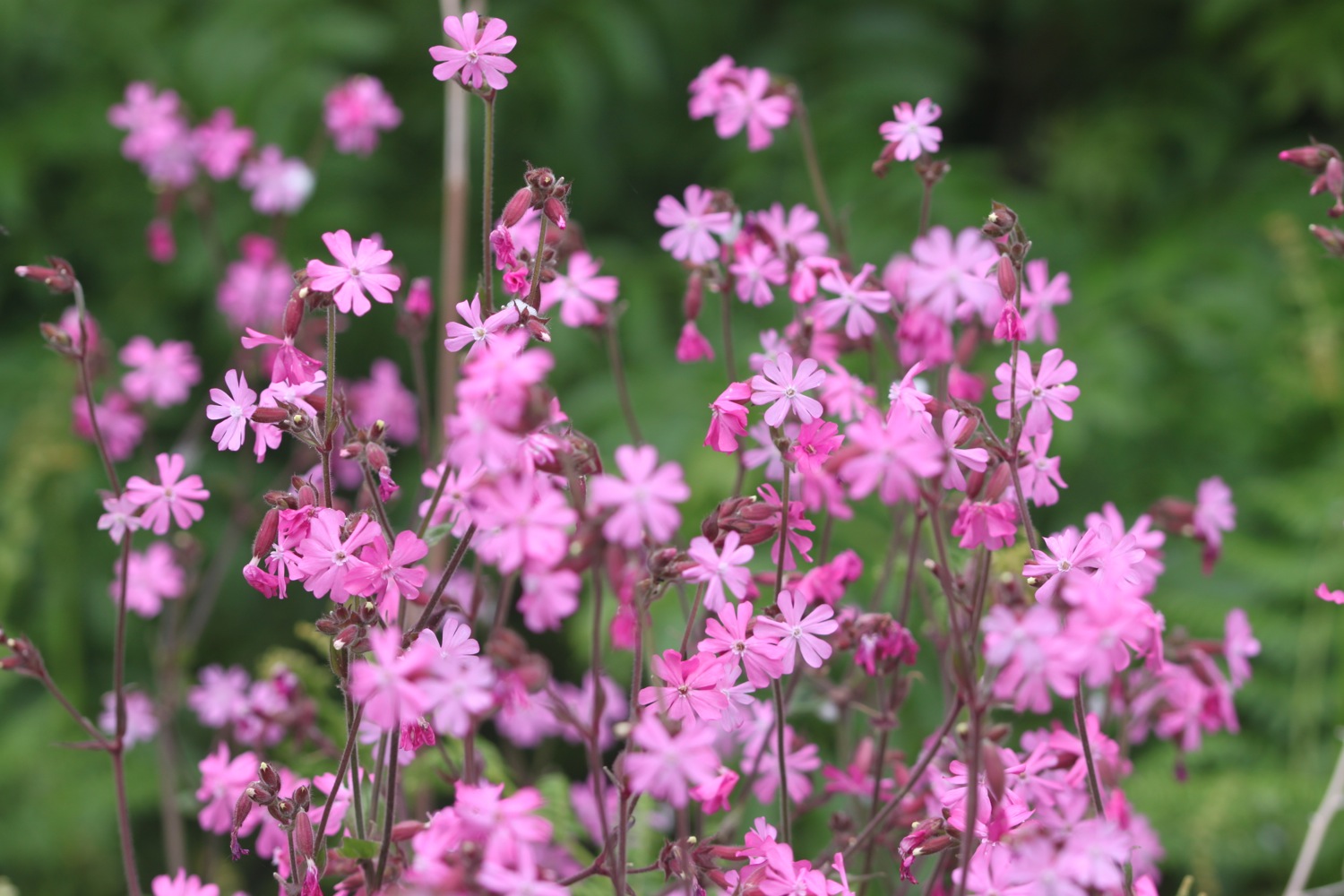
  • red campion

  • blackberries

  • stranded jellyfish

  • scarlet pimpernel

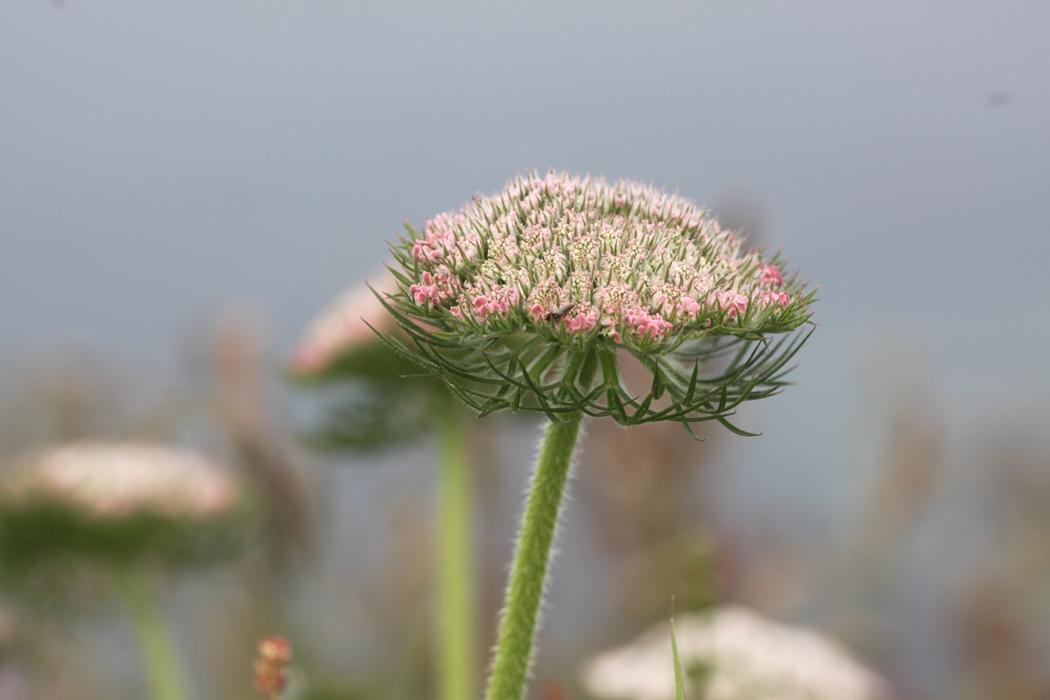
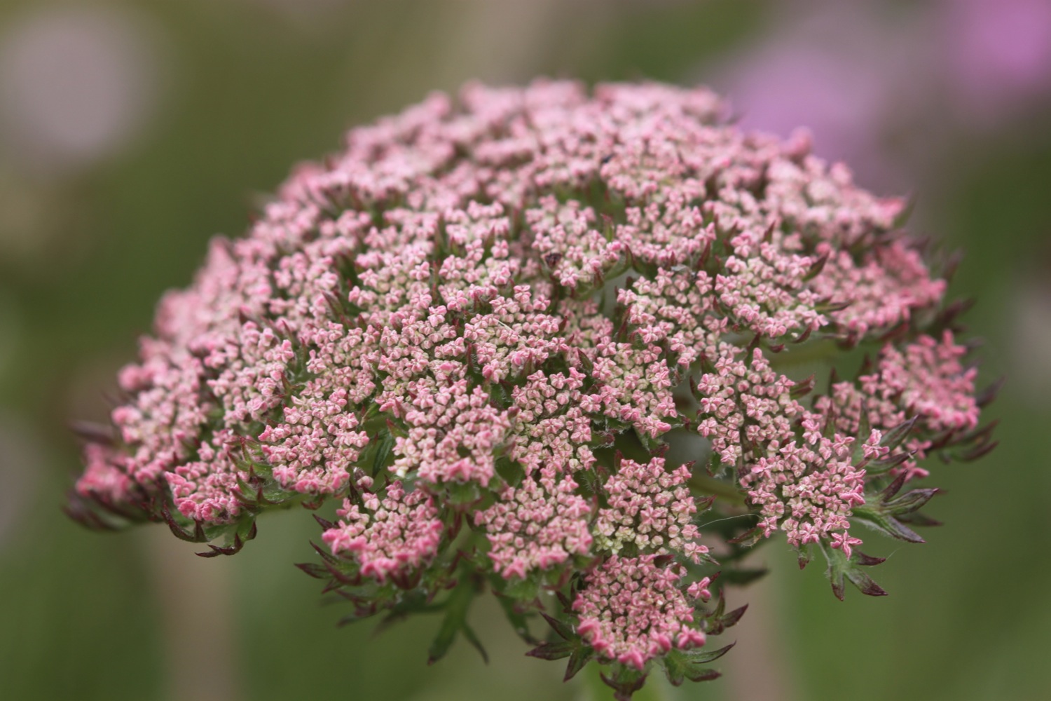
  • wild carrot

  • scabious

  • cat’s-ear

PODCAST

The podcast of today's walk is now available. You can subscribe via Apple Podcasts or listen using the player below.

MARKS OUT OF TEN?

According to my phone I've walked a pathetic 7 miles which amounts to 17285 steps. It has taken me three hours 25 minutes. The weather has been magnificent but way too hot and it has been painful trying to walk on my injured foot. Eight out of ten!

WALK DETAILS

MAP

fowey

polridmouth

polkerris

par sands

beach collection

polmear to polperro

SOUTH WEST COAST PATH

SUNDAY, 5TH june 2016

It looks like I'll be in for another day of beautiful weather with sun forecast for all day long. Temperatures aren't going to be particularly high so should make for perfect walking weather.

Par Sands high tide 06:19

Par Sands low tide 12:46

I start the day back at the car park behind the sand dunes at Par Sands and head out onto the murky beach.

murky par sands

I head inland slightly to the Ship Inn at Polmear where the coast path heads behind the pub and up back onto the low cliff tops and I have murky views back over Par Sands.

ship inn, polmear

I immediately come across my first orchids of the week, a small patch of (not so) early purple orchids.

early purple orchid

I head onwards towards the harbour at Polkerris and I have lovely views over the harbour. I can hear people swimming in the sea.

overlooking polkerris

I drop down to the beach, passing Sams on the Beach based in the old  Polkerris lifeboat station. Opposite is the Rashleigh Inn where thirsty walkers can stop for a nice pint. It's way too early for me though and the pub's not open anyway. A sandy, crescent shaped, south west facing beach can be found here and there are indeed a couple of people swimming in the sea.

polkerris

I enjoy wandering along the beach before heading back to the coast path where I pass through woods smelling of garlic before heading around Gribbin Head. I enjoy the wild flowers here which are looking at their best.

I pass below the 84 foot red and white Gribbin daymark, erected in 1832, enabling sailors to pinpoint the approach to Fowey's harbour, and head on down the slopes. Several joggers pass me on the slopes. The slopes are covered in wild flowers. 

The path descends to the south facing beach at Polridmouth Cove, which actually consists of two beaches. The first beach is packed with a father, son and dog playing on the beach but the second beach is completely deserted, so I wander along the beach for a bit, enjoying the solitude.

polridmouth cove

deserted polridmouth cove

I head up onto Lankelly Cliff and Southground Cliffs. I pass Coombe Haven which is also completely deserted.

coombe haven

The sun is starting to break through the mist and it's starting to get rather hot. I have lovely, if misty views, over to Polruan.

misty view over to polruan

I continue to Penventinue Cove passing the remains of St Catherine's Castle, one of a pair of small artillery forts built by Henry VIII in the 1530s to defend Fowey Harbour.
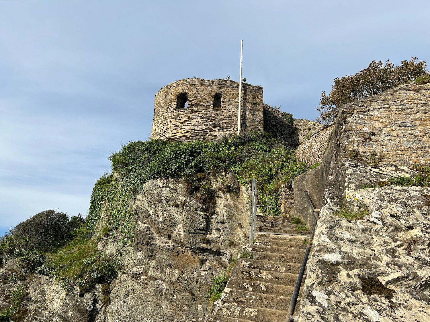
st catherine's castle

I now have lovely views over to Fowey.

view over fowey

 I continue along the coast path and arrive at Readymoney Cove Beach, a small, sheltered sandy beach. It's a little busier here with a few people enjoying the beach.

readymoney cove

I head along Readymoney Road where I take up with local dog walkers and then head along the Esplanade which takes me on to Fowey. I have more lovely views over to Polruan.

views over polruan

The ferry crosses the river above the centre of Fowey at Whitehouse slipway so I see very little of Fowey. I wait for my ferry crossing on the slipway and catch the Lady Jean ferry over to Polruan.

catching the ferry at whitehose slipway

The ferry crossing takes five minutes, I guess, and costs me the princely sum of £2. I depart the ferry at Polruan and wait for my fellow passengers to disperse so that I can enjoy the fine views along the River Fowey.

departing the ferry

river fowey

After crossing the River Fowey a small, sandy beach can be found at Polruan Quay unless the tide is in, which it isn't today.

sandy beach at polruan quay

I continue on my walk at the Lugger Inn on The Quay at Polruan before passing Polruan's second pub the Russell Inn. Although it is still relatively early, both pubs seem to be open but it's time for some serious walking.

lugger inn

russell inn

I climb out of Polruan and enjoy the lovely views over the village.

view over polruan

The path climbs to reach the National Coastwatch Station where I have some magnificent final views back over the Fowey estuary. It is starting to get very hot now.

view back over fowey estuary

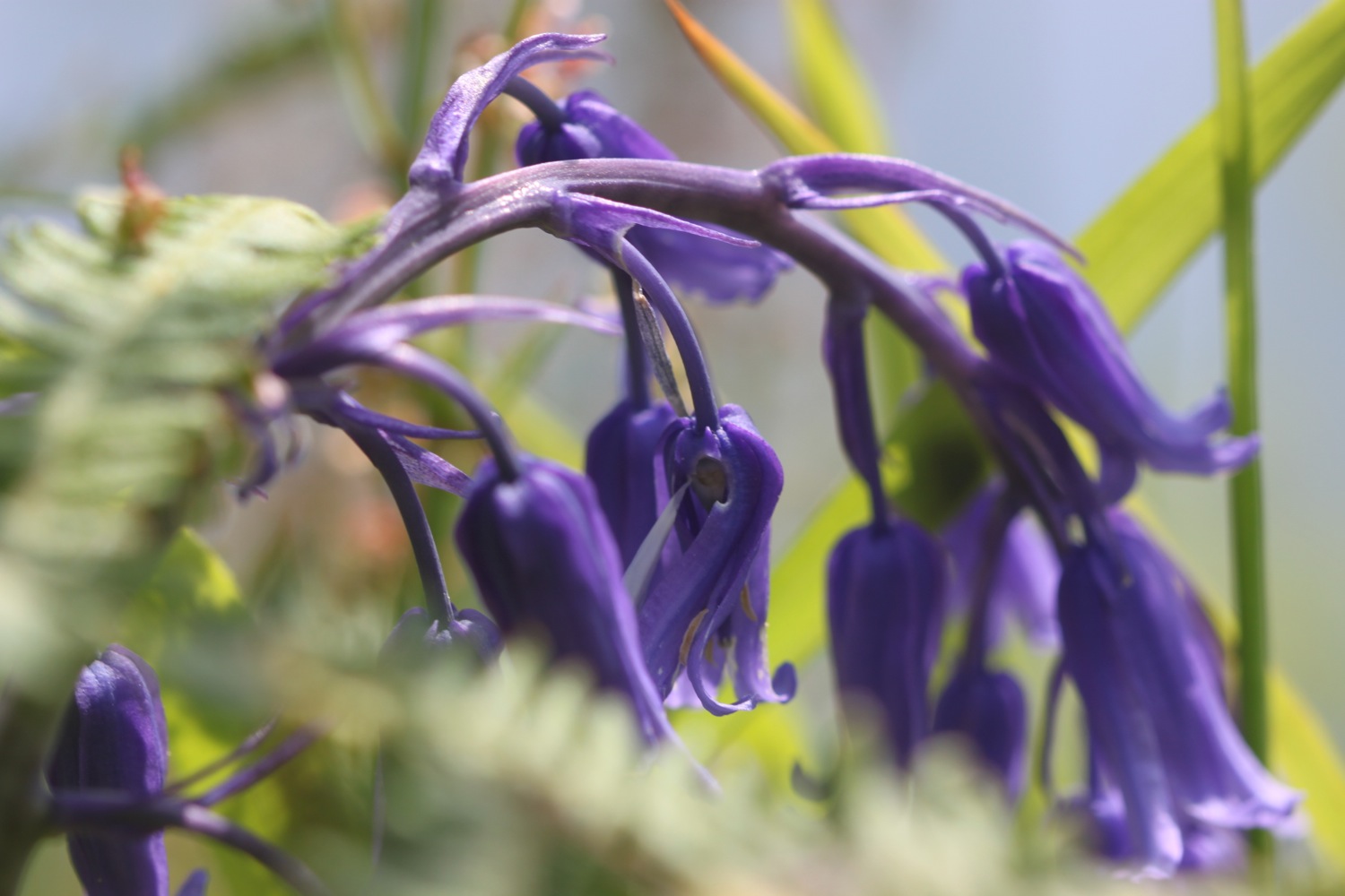
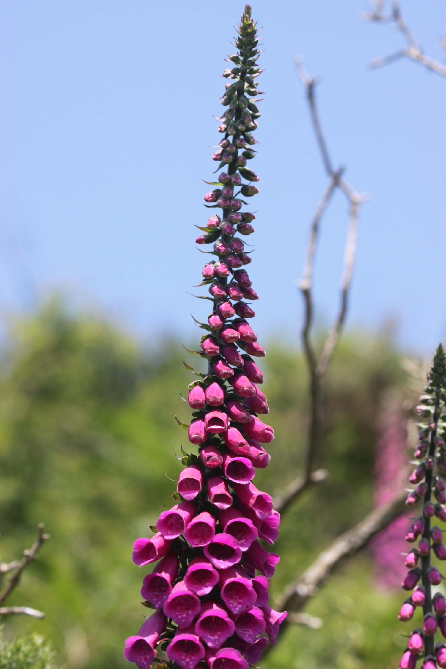
I continue along the coast path towards Lantic Bay and ignore the coast path signs and, instead, head down the steep climb to the beach, passing foxgloves enjoying the view over the beach.

foxgloves over lantic bay

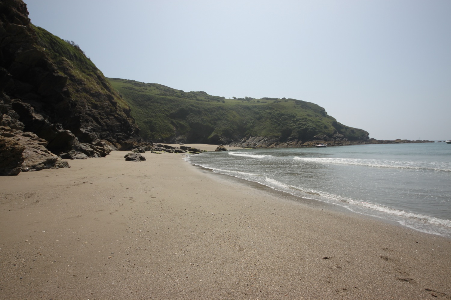
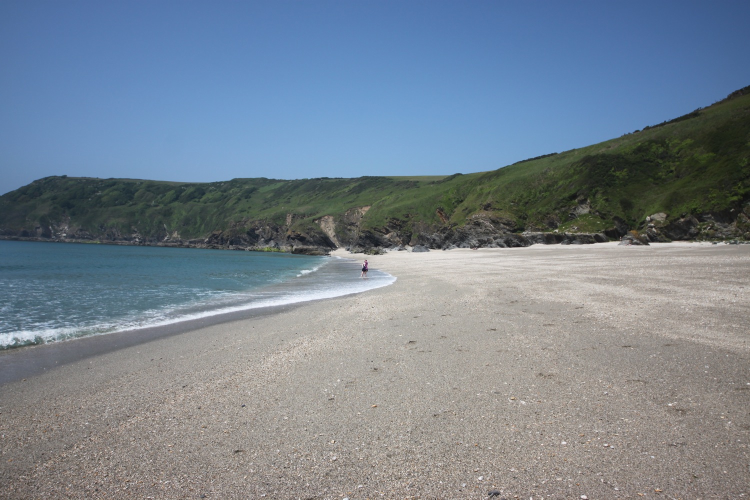
A white sand and shingle beach is found at Lantic Bay, and is one of the finest beaches on the South West Coast Path. Due to its isolation it is normally very quiet but there are quite a few people on it today.

On leaving the beach the path heads towards Pencarrow Head where I have some final magnificent views back over Lantic Bay. 

view back over lantic bay

I enjoy more wild flowers on the rugged coast.

The path becomes a roller-coaster ride passing over Watch House Cove, Palace Cove and Sandheap Point before dropping steeply into West Combe and over a footbridge above a waterfall. The coast path turns to the left but I head to the right instead to gain access to the lovely Lansallos Beach.

waterfall above lansallos beach

The beach is a small, sheltered sand and shingle beach and, as far as I know, is in the middle of nowhere but for some reason is heaving with people!. It's not even marked on my Ordnance Survey map.

heaving lansallos beach

I enjoy the beach for a while but it's time to tackle the tough last section of coast to Polperro.

leaving lansallos beach

Back on the coast path I pass a group of ponies who seem to have descended on a family having lunch.

ponies

More footbridges are encountered before passing an obelisk daymark.

daymark

The going around here is tough and I just seem to go up and down cliffs. I pass by Broad Cove, Shag Rock, West Penslake Cove, Penslake Cove, Blackybale Point, Colors Cove and Nealand Point and I have fine views over towards Polperro although the village is out of view, tucked away behind its harbour.

Chapel Cliff is reached and then I come across a rocky patch, finally with fine views over Polperro's harbour.

polperro

The path climbs down to the village where steps take me down to the harbour. A small, sandy beach can be found here just outside of the harbour wall, only available at low tide but the harbour is teeming with people so I head back past the Blue Peter Inn and by the fish landing area where a fisherman is busily shucking scallops.

blue peter inn

At the head of the harbour I head up the village near to the House on the Props.

polperro harbour

I finish the day by wandering up through the rather busy village to the car park at the top of the village. On the way I stop off to thirstily suck on an orange Calippo ice lolly. Utter bliss! It has been a hot, hot end to the day.

polperro village

FLORA AND FAUNA

Flora and fauna encountered on the walk today includes :-

  • foxgloves
  • early purple orchids
  • goldfinches
  • sheep
  • ribwort plantain
  • house martins
  • wild garlic
  • red campion
  • chiffchaffs
  • skylarks
  • a heron
  • red admirals
  • peacock butterflies
  • oystercatchers
  • stonechats

PODCAST

The podcast of today's walk is now available. You can subscribe via the iTunes store or listen using the player below.

MARKS OUT OF TEN?

According to my phone I've walked 15.6 miles today which amounts to 36613 steps. It has been magnificent walking today in what turned out to be very hot weather. Doesn't get much better than this. Ten out of ten!

My total ascent today has been 737.10 metres or 2418 feet.

video

map

early purple orchid

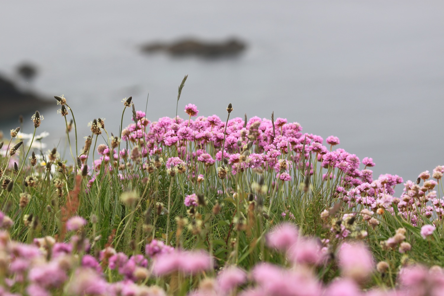
sea thrift on gribbin head

overlooking the fowey estuary

polperro

beach collection

lanivet to fowey

the saints' way

11th september 2013

The weather forecast for the day looks a bit on the dull side but at least it will be cooler than the last few days. 

weather forecast.jpg

Today's walk features loads of wayside crosses along the way. The churchyard of the parish church of St Nivet at Lanivet contains two finely carved crosses. The first, a wheel headed cross can be found to the north of the church and the second, a four holed cross, can be found to the west of the church.  

lanivet parish church

wheel headed cross

four holed cross

reperry cross

granite guide stone

The Way climbs out of Lanivet village and goes under the A30 to Reperry Cross. A wheel headed cross can be found here on top of a hedge. A granite guide stone is encountered, pointing the way back to Lanivet.  Thomas Hardy visited here in 1872 and wrote the poem 'Near Lanivet'.

There was a stunted handpost just on the crest,
Only a few feet high:
She was tired, and we stopped in the twilight-time for her rest,
At the crossways close thereby.

st ingunger

A bit further on another wayside cross is encountered close to St Ingunger farm. The path continues through Fenton Pits where another cross can be found at the side of the road. 

fenton pits

The path reaches the hamlet of Trebell Green and continues to Helman Tor Gate. At this point the Way splits into two, one way travelling to Fowey via Luxulyan and Tywardreath. My route today reaches Fowey via Lanlivery and Golant.


I take a detour to climb the summit of Helman Tor Gate at 680 feet to visit the remains of a 6000 year old Neolithic enclosure. The view today is fantastic, if a bit on the dull side, and I can look back to the Atlantic coast and the start of the Way, and forwards to the English Channel and the end of the walk. 

helman tor gate

view from helman tor gate

menawink cross

The path continues towards Lanlivery along an ancient granite hedged ridgeway before joining a minor road. Menawink Cross can be found here.

The path continues over Pennant Crossroads to reach the village of Lanlivery. The path passes the Lanlivery Parish Church, St Brevita  and the Crown Inn where I'd have been tempted by a pint of Doombar but it was nowhere near opening time. 

lanlivery parish church

The Way leaves the village and briefly follows the A390 to Lostwithiel where a wayside cross known as Crewel can be found at No Man's Land. 

crewel cross

The path turns right at some granite gateposts. A filthy bridleway was shut here so I had to divert close to Lostwithiel before reaching Castle and Milltown and continued under the railway bridge of the Paddington to Penzance line, passing Lantyan and Woodgate Woods where the Fowey River can now be glimpsed. 

Our home from home for the week, Golant, is reached where St Sampson's Church can be found as well as the tempting Fisherman's Arms. A pint of Doombar here can wait until the walk is finished.

st sampson's church

The path leaves the village by a footpath up onto the downs with lovely views over the estuary and continues through woods down to Sawmills Creek. 

sawmills recording studio

The 17th century water mill found here now houses Sawmills recording studio  where the likes of XTC, Robert Plant, The Stone Roses, Oasis, The Verve, Supergrass and Muse have all recorded. 

The path continues across a stream and ascends to Penventinue Farm before reaching the main road in to Fowey. It passes the Bodinnick Ferry at Caffa Mill before finally reaching Fowey.

The last stretch climbs Bull Hill to reach the end of the Saints' Way at the Church of St Fimbarrus which means it's Doombar time so after pottering around for a bit in Fowey I head back to the Fishermans Arms in Golant.

st fimbarrus

A guide pack of The Saints' Way can be obtained from the Fowey tourism website for £4.99 plus £2 postage at the time of writing. The pack features 13 full colour, laminated and illustrated cards: eight route cards, each showing a map section of the journey including information on distance, time, terrain, and facilities, as well as descriptions and information about places on the route.

flora and fauna

Flora and fauna encountered on the walk today includes :-

  • dead badgers
  • dead squirrel
  • dead shrew
  • cows
  • swallows
  • robin
  • grey wagtail
  • ferns
  • lichens
  • llamas


Podcast

The podcast of today's walk is now available.  You can subscribe via the iTunes store or listen using the player below.

podcast logo small.png

Marks out of ten?

According to my phone I've walked 16 miles today which amounts to 34420 steps. The way marking has been excellent again so for a change I haven't got lost once and I've only been stung by nettles once so that also makes a pleasant change. 8 out of 10.

Why do so many websites in these parts use evil Flash though? 

8 out of 10.png

View lanivet to fowey in a larger map

helman tor Gate

mevagissey to golant via fowey

south west coast path

8th september 2013

mevagissey panorama

The weather forecast for the day looks a bit on the ropey side. As it turns out though, the waterproofs aren't required and after a damp start the day soon brightens up and almost becomes too hot for walking. 

weather forecast.jpg

Mevagissey

Mevagissey is a village and fishing port nestling in a small valley and facing east to Mevagissey Bay.  The inner and outer harbours are busy with a mixture of pleasure vessels and working fishing boats, the remains of a once major industry. However, tourism has supplanted fishing as the dominant industry in recent years. 

Mevagissey village centre consists of narrow streets with many places to eat and shops aimed at the tourist trade. The outer areas are built on the steep slopes of the surrounding hillsides and are mostly residential.

The Tourist Information Centre can be found on St Georges Square and Mevagissey Museum can be found in the inner harbour at the end of East Wharf.


Normally I'd follow the walks as detailed in Paddy Dillon's book 'The South West Coast Path' so today should be Mevagissey to Polmear. However, since we're staying in Golant for the week today's walk is extended to finish at Golant, passing through Fowey on the way. 

Today's walk starts at Mevagissey harbour and heads towards Mevagissey Museum before climbing up to the coastguard lookout.

mevagissey

pentewan sands

The walk continues around Penare Point before descending to Pentewan Beach and the Pentewan Sands Holiday Park. The official coast path route skirts around Pentewan Beach as the beach is privately owned but, hey!, I'm not one to miss out on a good beach so did a bit of trespassing here before heading back to the official coast path at Pentewan village.

The path leaves the square in Pentewan village passing the Ship Inn pub, and then climbs steeply up Pentewan Hill and past All Saints Church. It then passes Polrudden Cove and reaches Hallane Mill. On a previous visit the paths here were full of stinging nettles so I got stung to buggery but fortunately this time the paths were quite clear and any offending nettles were felled with my walking pole.

The path continues towards Black Head and passes a big granite block in memory of the Cornish poet A L Rowse.

a l rowse memorial

the view from ropehaven cliffs

porthpean

Rounding the memorial stone the path heads for some woodland and then climbs up along Ropehaven Cliffs to Trenarren House. Just before Porthpean a badger sett has taken over the coast path. Fortunately, its not in Somerset or Gloucestershire so there weren't any marksman about! Porthpean village is reached where a popular, sandy beach can be found as well as the Porthpean Beach Cafe.

On my previous walk back in September 2009 I had to detour lengthily inland to the main road because of cliff collapses, passing masses of roadworks on the way in to Charlestown. Fortunately, after (lengthy) negotiations with landowners in the area, the path has now been reconstructed through backgardens, and there is now a pleasant route to Charlestown. The sand and pebble beach here sits just outside the harbour.
 

phoenix of dell quay offshore


Charlestown

 Charlestown is a village and 18th century port in the parish of St Austell Bay. The port at Charlestown developed from what was in the late 18th century the fishing village of West Polmear and has remained relatively unchanged. Here you can find the Charlestown Shipwreck and Heritage Centre at the head of the harbour and the Phoenix of Dell Quay, a converted 18th century two masted Brig, moored in the harbour where numerous film and TV programmes have been filmed. 


The path continues around the harbour at Charlestown, regaining the cliffs in front of Porth Avallen Hotel and then in front of Carlyon Bay Hotel. It continues alongside the Carlyon Bay Golf Course towards a disused china clay works at Spit Point. There are three beaches at Carlyon Bay - Crinnis, Polgaver and Shorthorn - but, on the second time of passing, they are still a complete eyesore.  

eyesore at carlyon bay

church of the good shepherd

The hideously busy A3082 is reached and the path continues past the Port of Par and then through the village of Par passing the Church of the Good Shepherd.

The coast path continues behind the Ship Inn at Polmear and heads towards the harbour at Polkerris where thirsty walkers can stop for a nice pint at the Rashleigh Inn. A sandy, crescent shaped, south west facing beach can be found here. This thirsty walker headed on towards Fowey.
polkerris

The path heads around Gribbin Head where the red and white Gribbin daymark (enveloped in fog on my last walk here in 2009) was erected in 1832. 

gribbin head

polridmouth cove

The path descends to the south facing beach at Polridmouth Cove and then up onto Lankelly Cliff and Southground Cliffs and arrives at Readymoney Beach, a small, sheltered sandy beach.

Readymoney Road and then the Esplanade takes me on to Fowey, passing Whitehouse Beach on the way.


The walk through Fowey passes the Galleon Inn, the Ship Inn, the King of Prussia hotel and the Safe Harbour Inn and as I pass the Bodinnick Ferry I glance over to see the Old Ferry Inn. Must attempt to pop over at some point this week!

galleon inn


Fowey

Fowey is a small town and cargo port at the mouth of the River Fowey. Fowey has thrived as a port for hundreds of years, initially as a trading and naval town, then as the centre for china clay exports. Today Fowey is busy with trawlers and yachts and tourism has become an important source of income. Fowey Tourist Information Centre can be found on South Street.


A short walk following the River Fowey takes me back to our home for the week where a fine pint of Doombar greets this thirsty walker at the Fisherman's Arms in Golant

Flora and fauna

Flora and fauna encountered on the walk today :-

  • cyclamen
  • cows
  • daft sheep
  • great tit
  • robin
  • swallows
  • himalayan balsam

cyclamen

Podcast

The podcast of today's walk is now available.  You can subscribe via the iTunes store or listen using the player below.

podcast logo small.png
7 out of 10.png

Marks out of ten?

According to my phone I've walked 24 miles today which amounts to 51607 steps. Ouch! Don't think I've ever walked so far and my feet are sore. For various reasons, I hated this walk when I last did it in 2009. The walk has been much improved with the route into Charlestown now fixed so today I'd give the walk a 7 out of 10. If someone could sort out Carlyon Bay and uproot Par and dump it somewhere else that would be much appreciated! The walk might then even score an extra point.


View mevagissey to golant in a larger map

hallane mill

golant to looe via fowey

south west coast path

7th september 2013


The weather forecast for the day is pretty good. I've strapped my waterproofs onto my bag anyway but it doesn't look like they will be needed today. 

weather forecast.jpg

The day begins with a trek down the bank of the River Fowey to catch the early-ish ferry over to Polruan. The ferry starts at 07:30 on a Saturday allowing for the early start.

Normally I'd follow the walks as detailed in Paddy Dillon's book 'The South West Coast Path' so the week's walking would normally be Mevagissey to Polmear, followed by Polmear to Polperro, Polperro to Portwrinkle and then Portwrinkle to Plymouth. However, since we're staying in Golant for the week, today's walk will be from Golant on down to Fowey and then onwards to Looe.

After crossing the River Fowey a small, sandy beach can be found at Polruan Quay unless the tide is in, which it was today. The start of the walk proper begins at the Lugger Inn on The Quay at Polruan before passing Polruan's second pub the Russell Inn. Both were closed at this early hour of the morning so it was time for some serious walking.

lugger inn

lantic bay

The path climbs to reach the National Coastwatch Station before reaching Lantic Bay. A white sand and shingle beach is found at Lantic bay, reached via a steep cliff path and this beach is normally very quiet, as it was today. On leaving the beach the path heads towards Pencarrow Head. 

The path becomes a roller-coaster before dropping steeply into West Combe and over a footbridge above a waterfall. The coast path turns to the left but I head to the right instead to gain access to the lovely Lansallos Beach. The beach is a small, sheltered sand and shingle beach and is not well known so usually very quiet. I had the beach all to myself.

lansallos beach

Back on the coast path, more footbridges are encountered before passing an obelisk daymark, even more footbridges and eventually reaches Raphael Cliff and its fine views.

Chapel Cliff is reached before the path climbs down to the harbour at Polperro. A small, sandy beach can be found here just outside of the harbour wall, only available at low tide.

polperro


Polperro

 Polperro is a village and fishing harbour within the civil parish of Lansallos. It is situated on the River Pol and is well known for its idyllic location, surrounded by tightly packed old fisherman's houses which makes it attractive to tourists, particularly in the summer months. The village still has a small fishing fleet and you can also find the Polperro Heritage Museum of Smuggling and Fishing here.


blue peter inn

The path continues past the Blue Peter Inn and the area where the fish is landed in Polperro and then continues around the harbour crossing the River Pol at the House on the Props tea room and restaurant.

The path goes along The Warren, around Downend Point passing a granite war memorial and heads on towards Talland Bay. Talland Bay has two sand and shingle beaches - Talland Sand and Rotterdam Beach. The Talland Bay Cafe is passed followed by the Smuggler's Rest Cafe.

talland bay

looe (or st georges) island

The path reaches Hendersick and then passes the Hore Stone, just offshore, and there is a view over Portnadler Bay to St George's Island. The path continues around Hannafore Point and Looe comes into view. Hannafore beach can be found here which is mostly rocky but does contain some sand and shingle.

The path continues down a road and then drops down to the harbourside. You can catch a ferry over from West Looe to East Looe but, instead, I headed along the harbourside and used the roadbridge to cross the River Looe, on the way passing Tom Sawyers Tavern, the Jolly Sailor Inn and the Harbour Moon Inn

looe


Looe

 Looe is a small coastal town and fishing port and is divided by the River Looe into two, West Looe and East Looe. The town is situated around a small harbour and along the steep sided valley of the River Looe which flows between East and West Looe to the sea beside a sandy beach.

The Looe Tourist Information Centre can be found on Fore Street in East Looe and the Old Guildhall Museum and Gaol on Higher Market Street offers plenty of history about the town.


Flora and fauna

Flora and fauna encountered on the walk today include :-

  • hydrangeas
  • penstemons
  • alpacas
  • cows
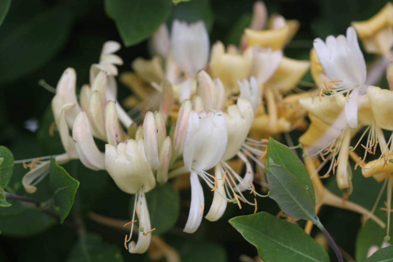
  • honeysuckle
  • japanese knotweed
  • swallows


honeysuckle

Podcast

The podcast of today's walk is now available.  You can subscribe via the iTunes store or listen using the player below.

podcast logo small.png
8 out of 10.png

Marks out of ten?

According to my phone I've walked 18.2 miles today which amounts to 39053 steps. The walking today has been lovely so I'd give the walk an 8 out of 10. I'm seriously thirsty so it's off back to the Fisherman's Arms for some refreshing Doombar.

doombar


View golant to looe in a larger map

fowey