mevagissey to charlestown
south west coast path
saturDAY, 2nd september 2023
Start location: Mevagissey (SX 01485 44790)
End point: Charlestown (SX 03779 51676)
Map: Explorer 105
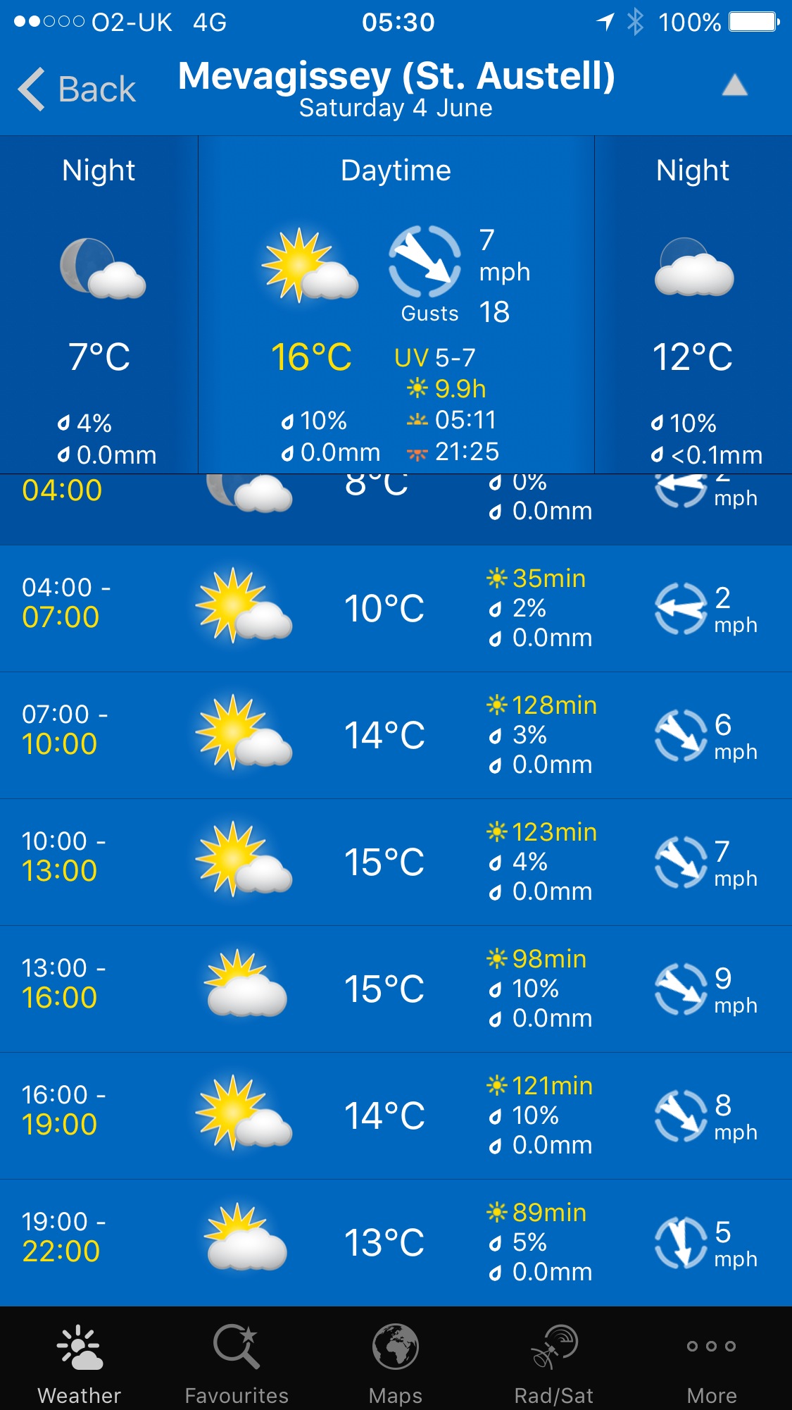
The weather forecast for the whole week looks to be fantastic although it’ll be way too hot for walking. It looks like today I'll have a lovely day of beautiful weather with sun forecast for all day long and barely a breath of wind.
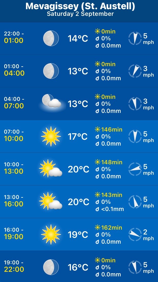
Mevagissey high tide 08:02
Mevagissey low tide 14:22

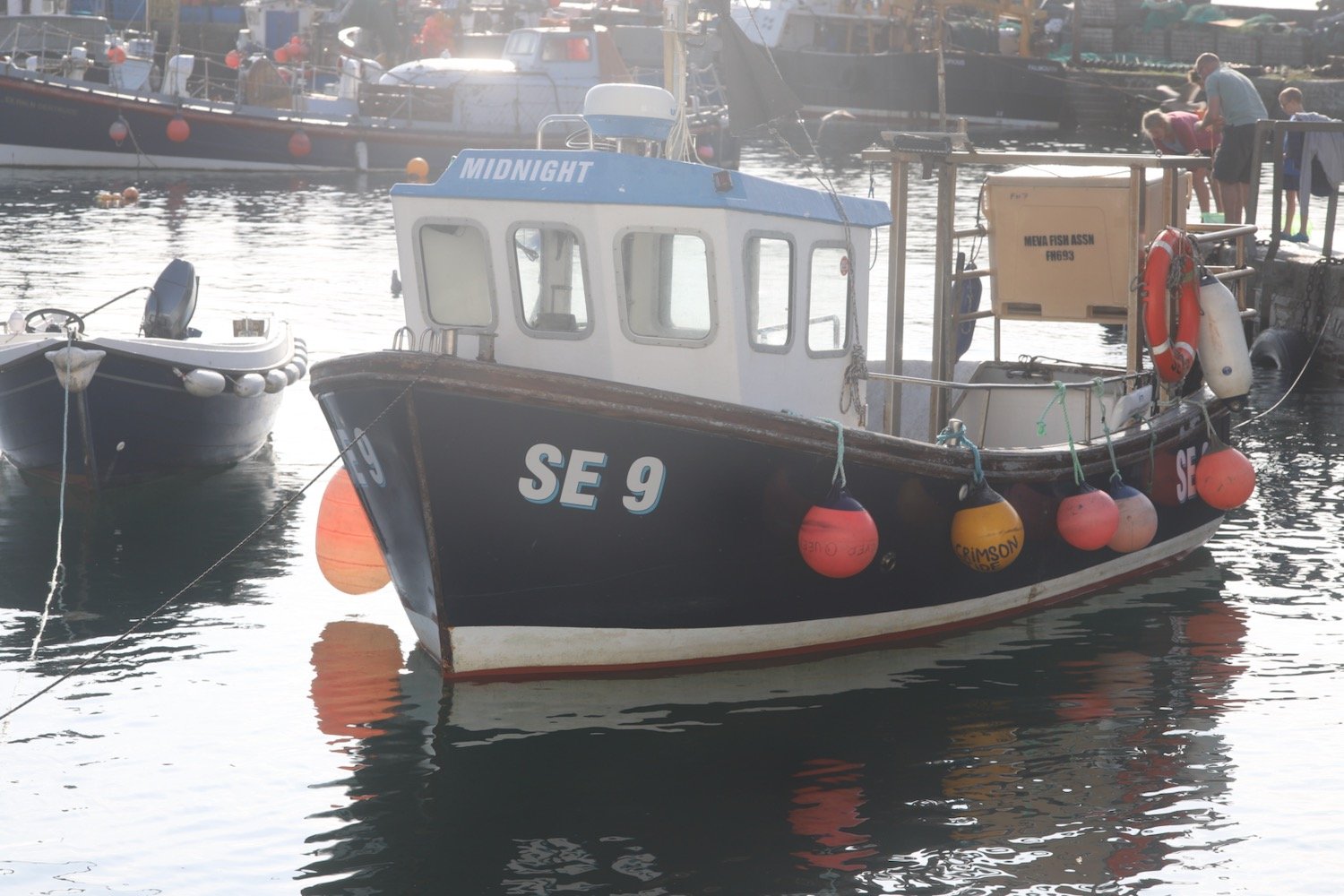
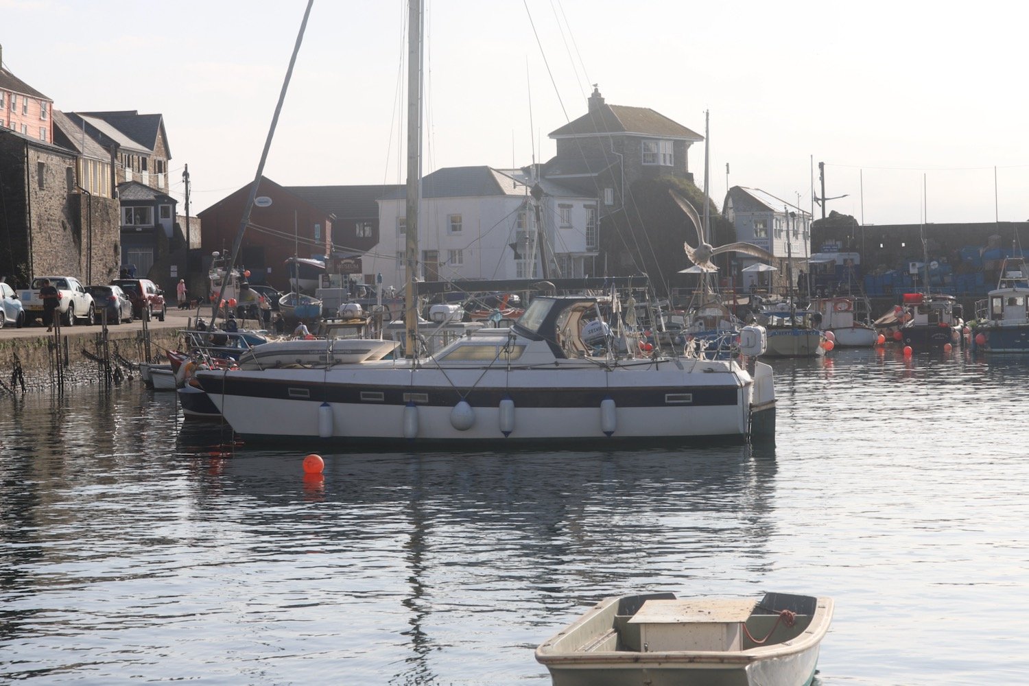
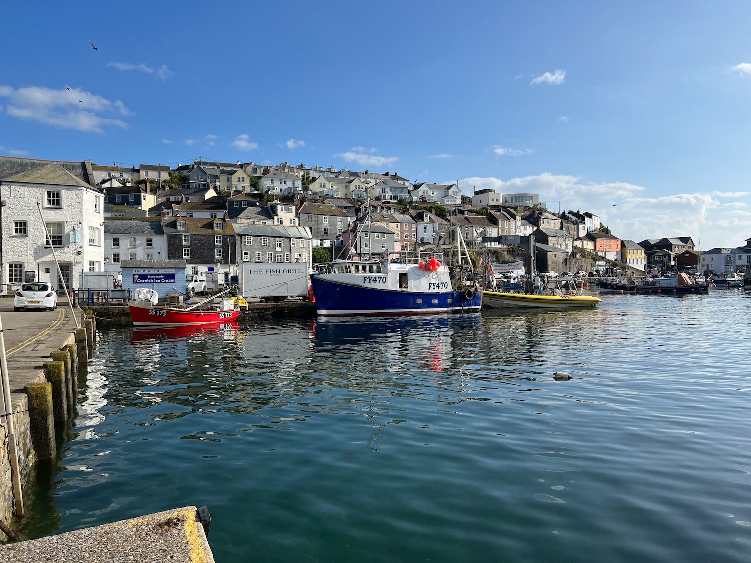
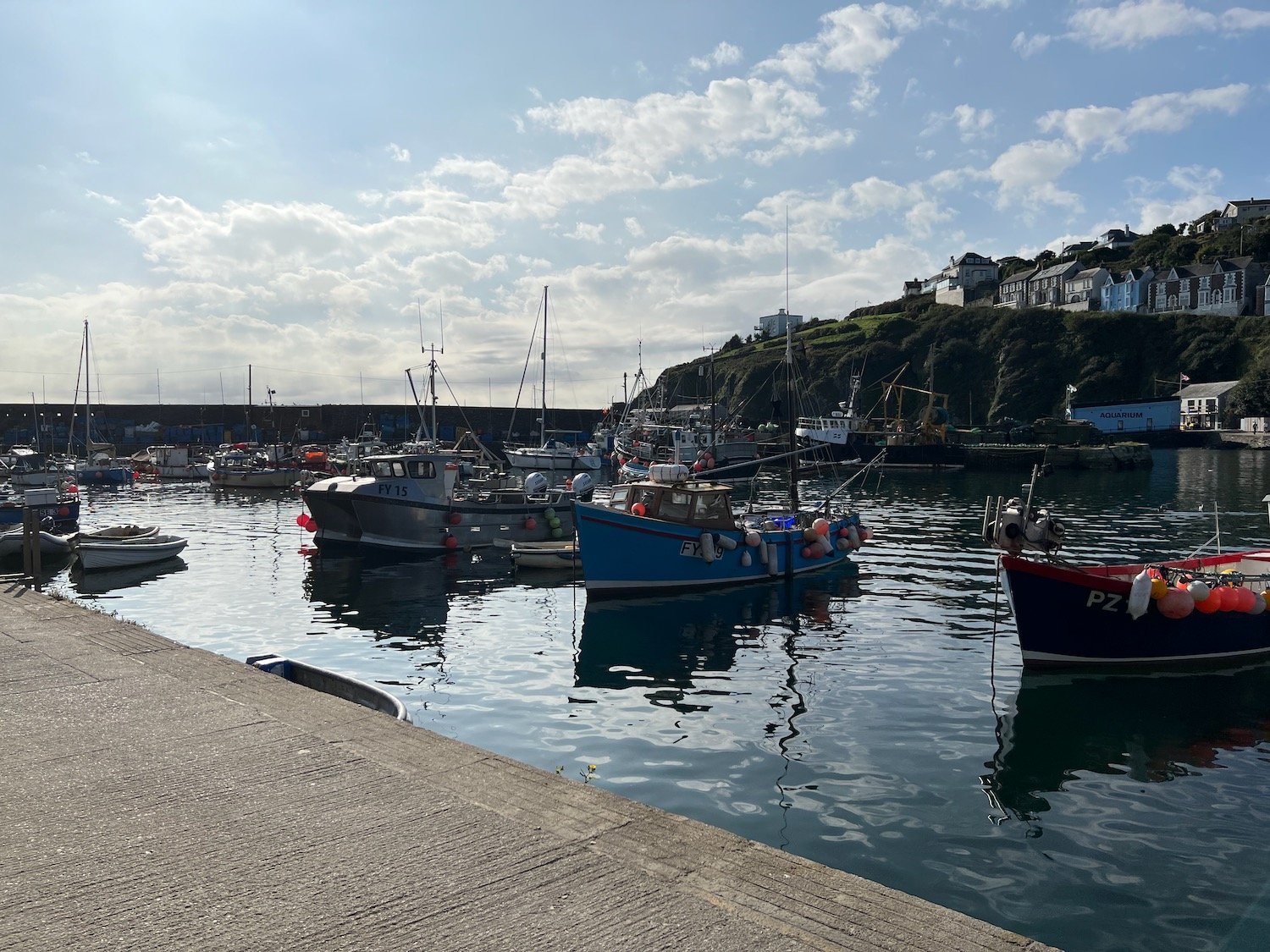
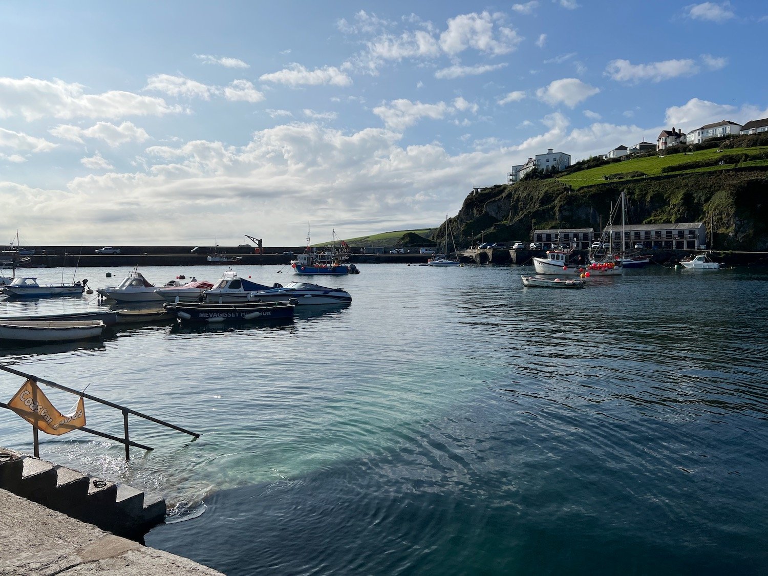
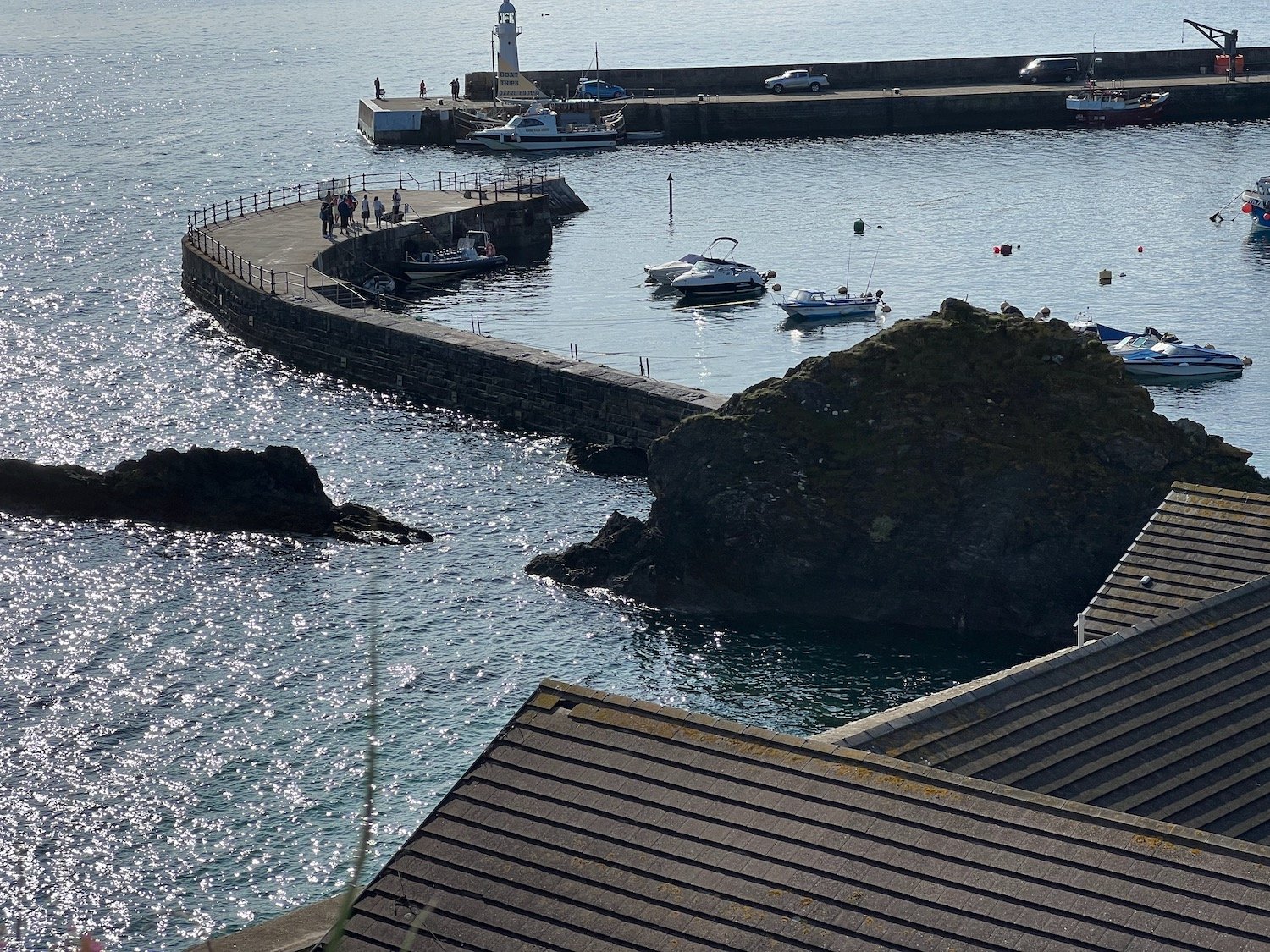
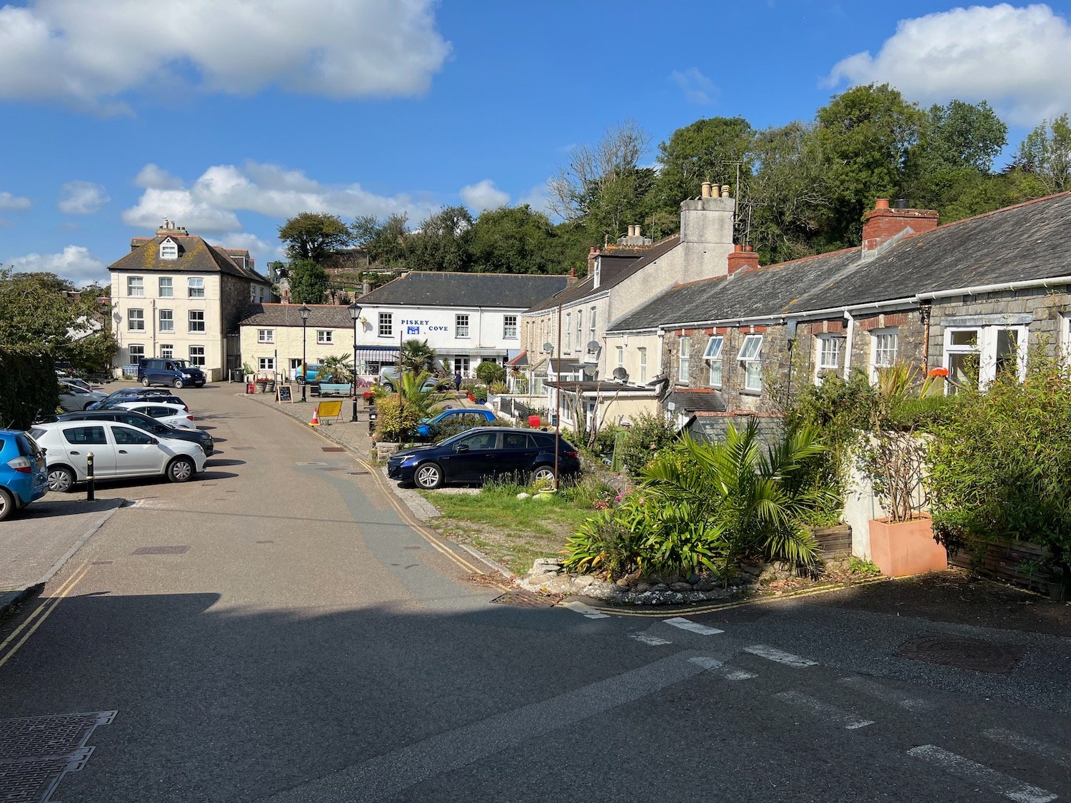
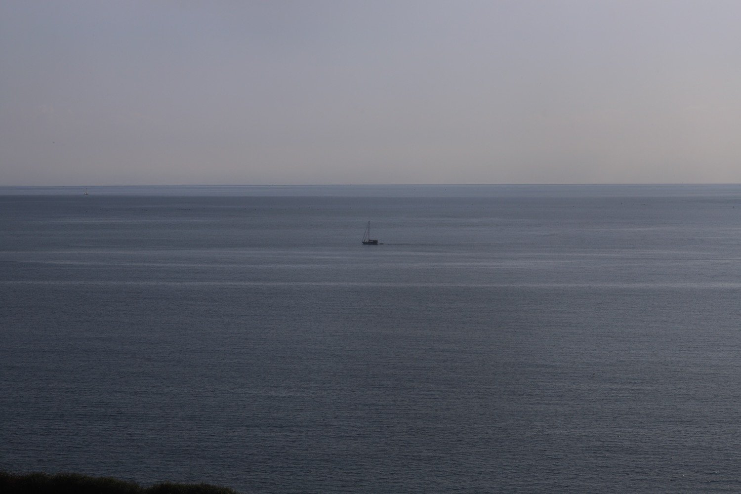
Today's walk starts at the car park above Mevagissey. I descend down to the harbour. It's early and the harbour hasn't really got going yet.
I do a bit of exploration and pass the Wheelhouse Inn, the Harbour Tavern, The Sharks Fin, The Fountain Inn, The Ship Inn and the Cellar Bar before heading around the harbour towards Mevagissey Museum.
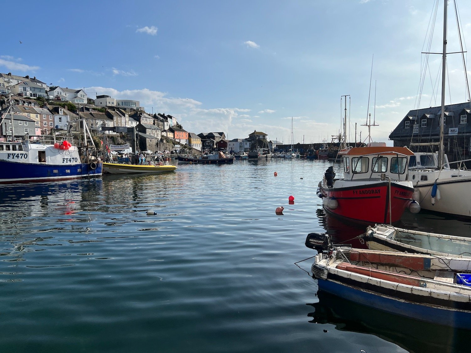
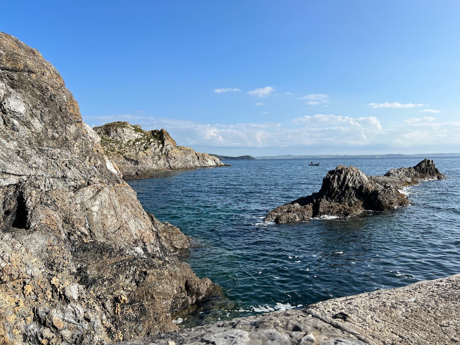
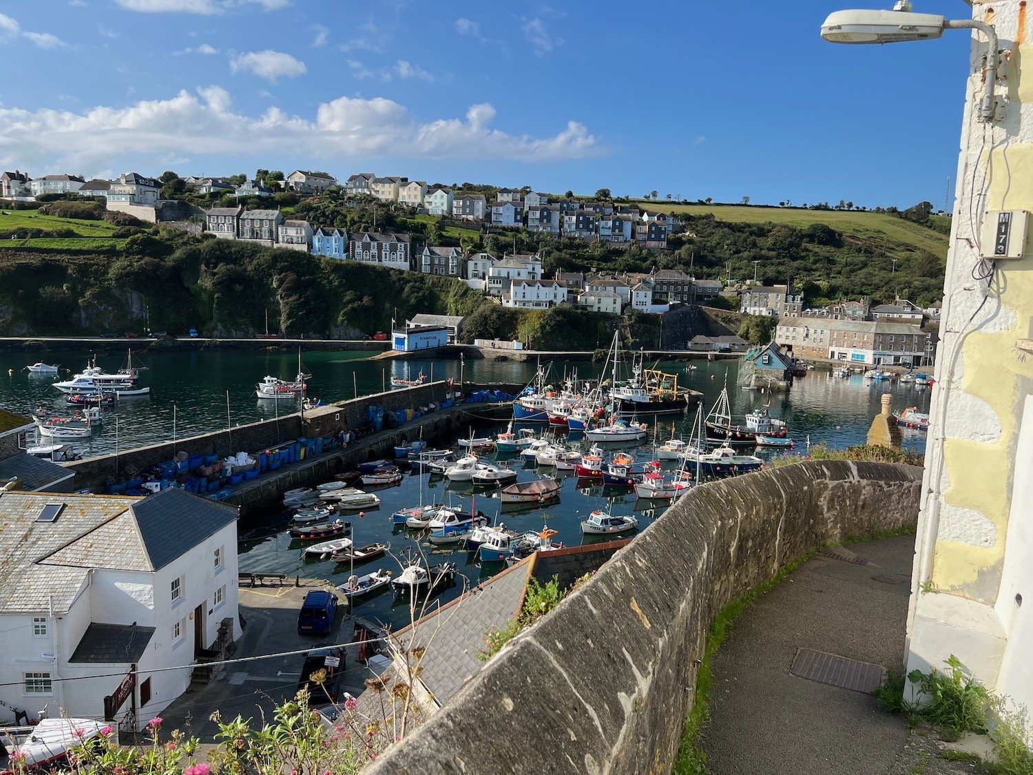
I climb up out of Mevagissey where I have lovely views back over the harbour.
The path heads behind houses on the outskirts of Mevagissey and the walk continues around Penare Point where the fields are full of docile cows.
cows
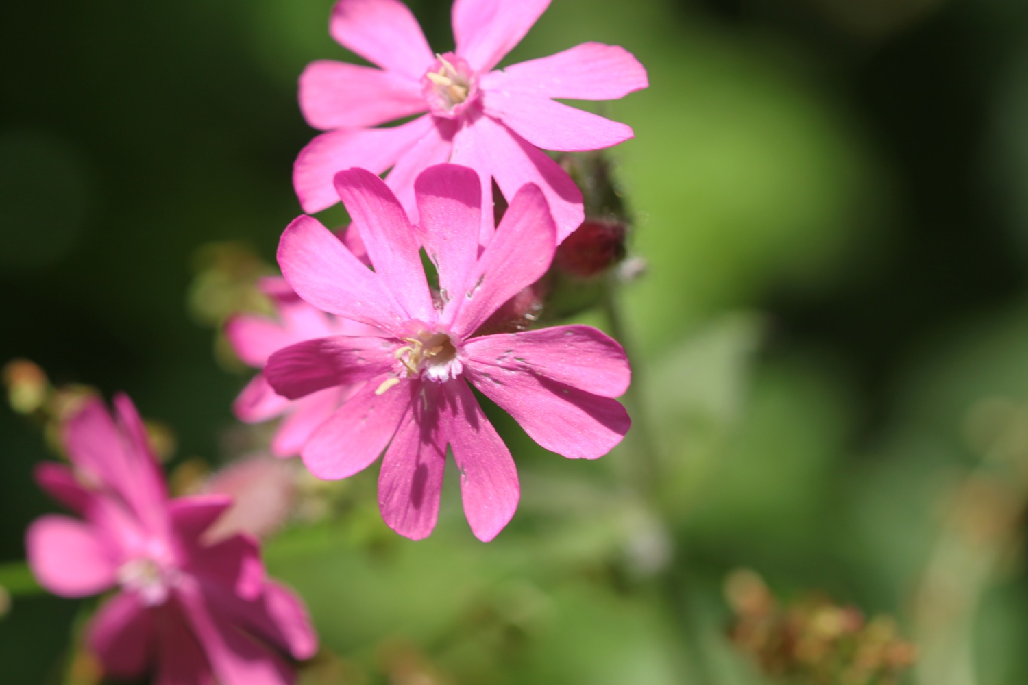
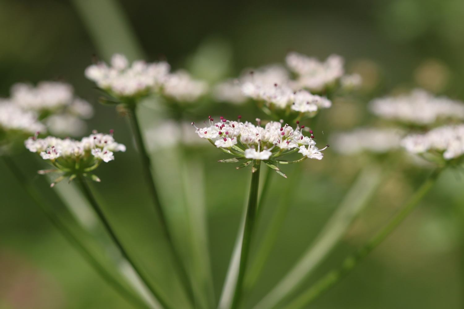
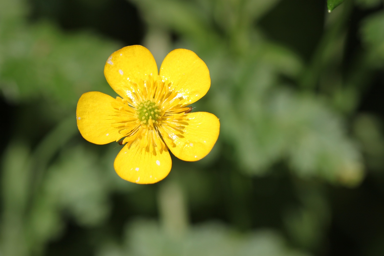
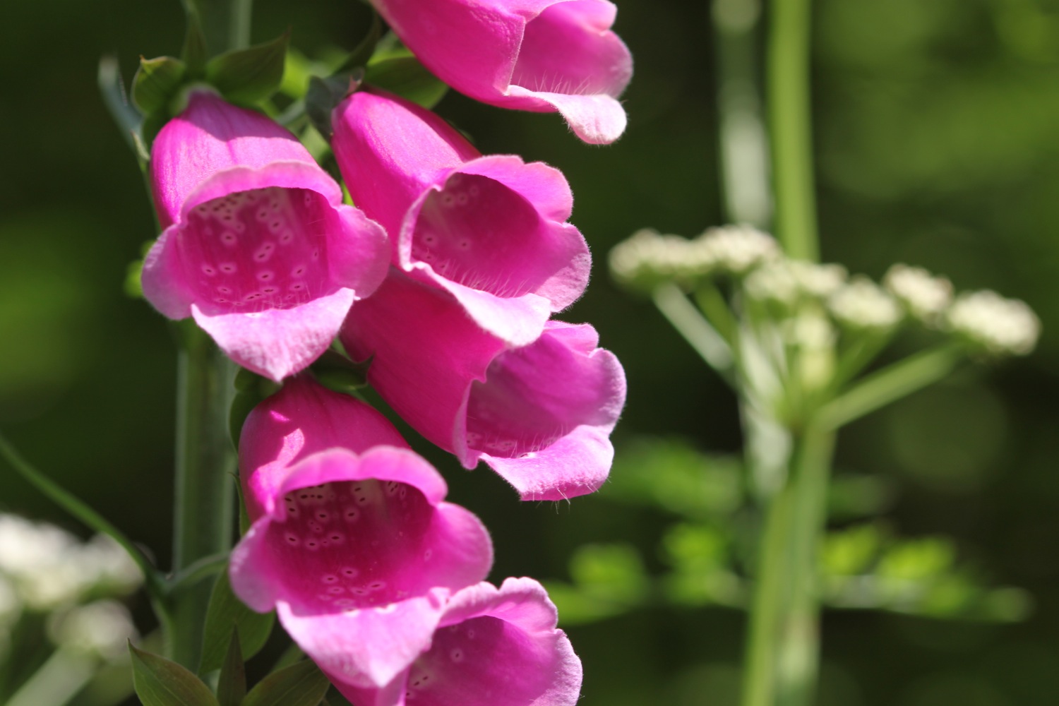
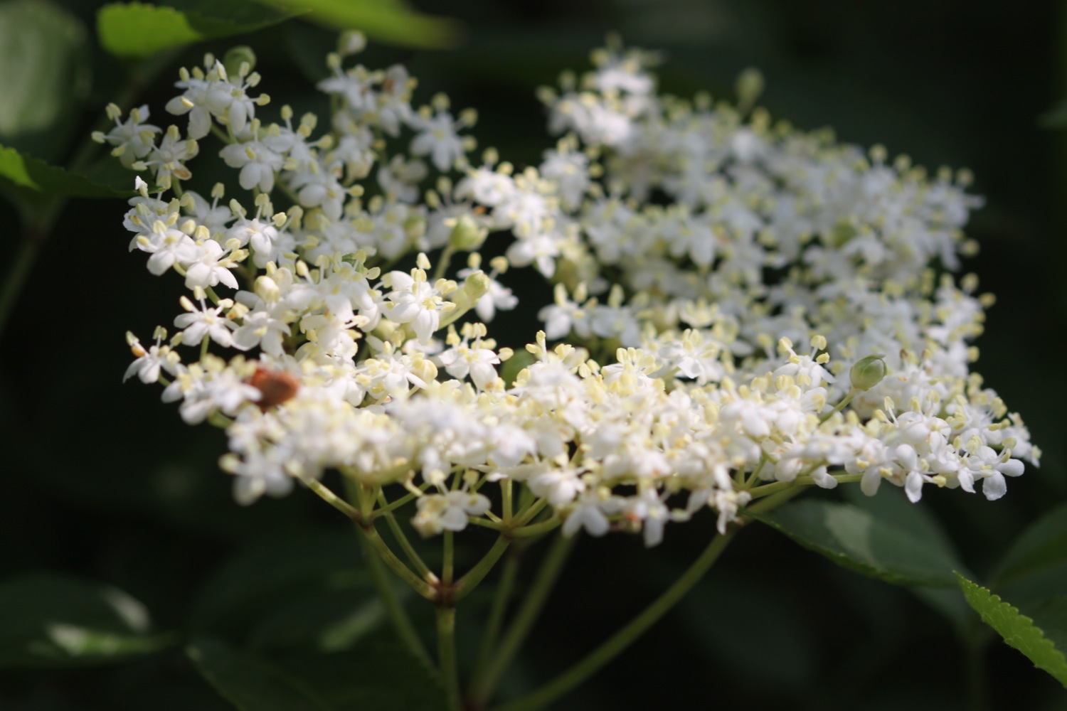
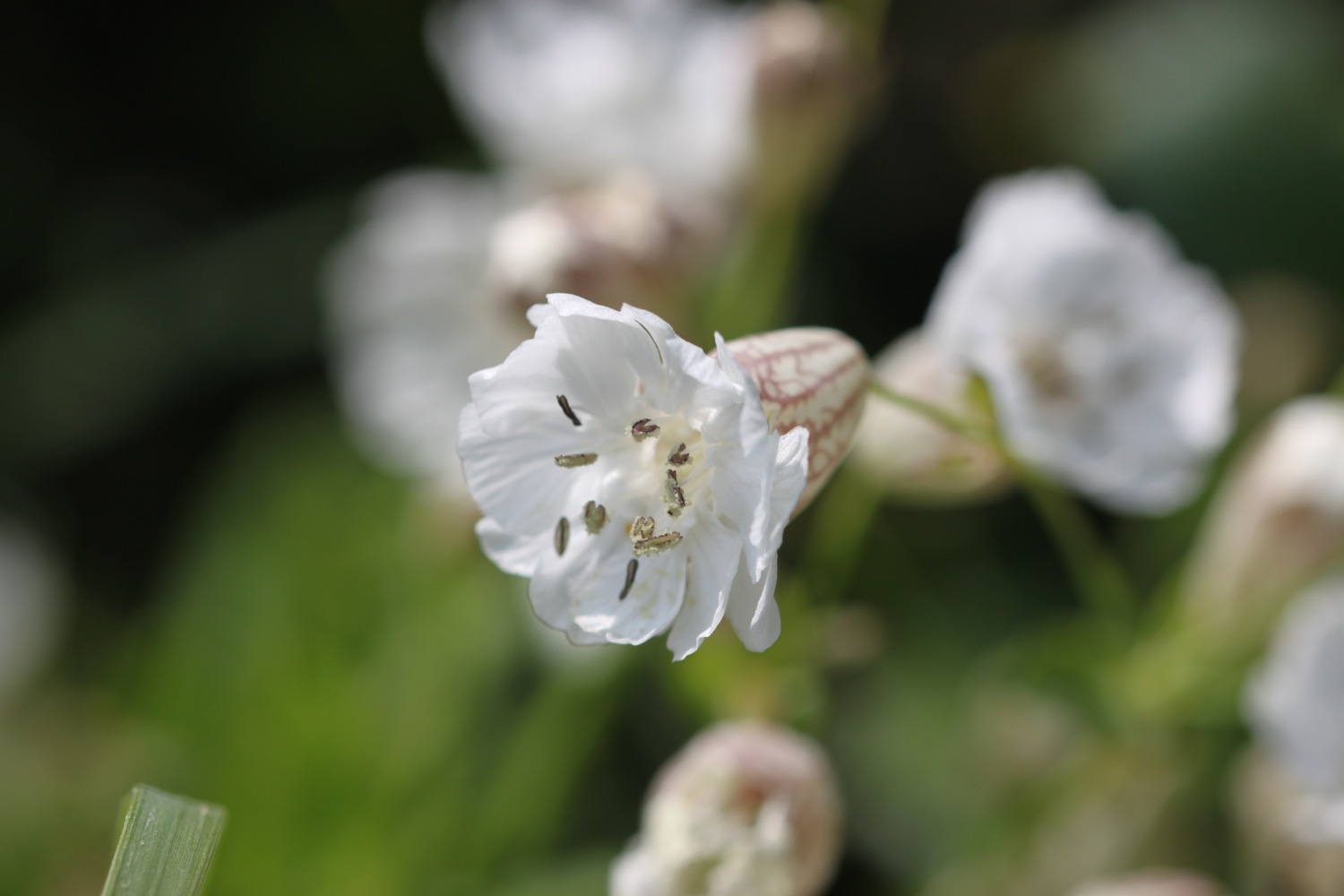
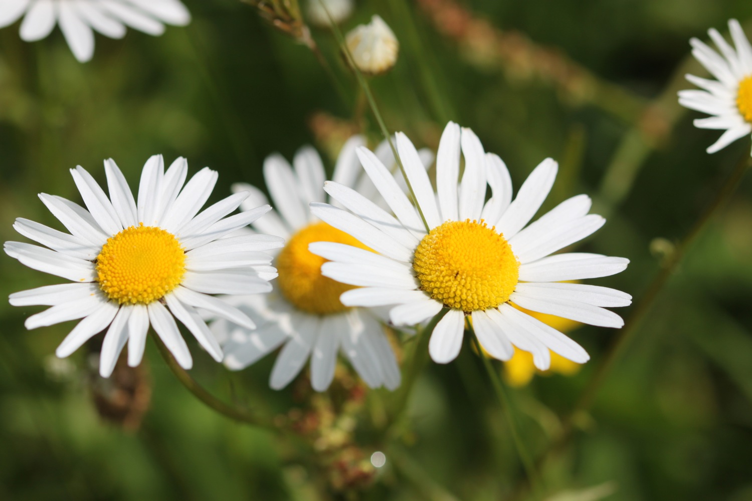
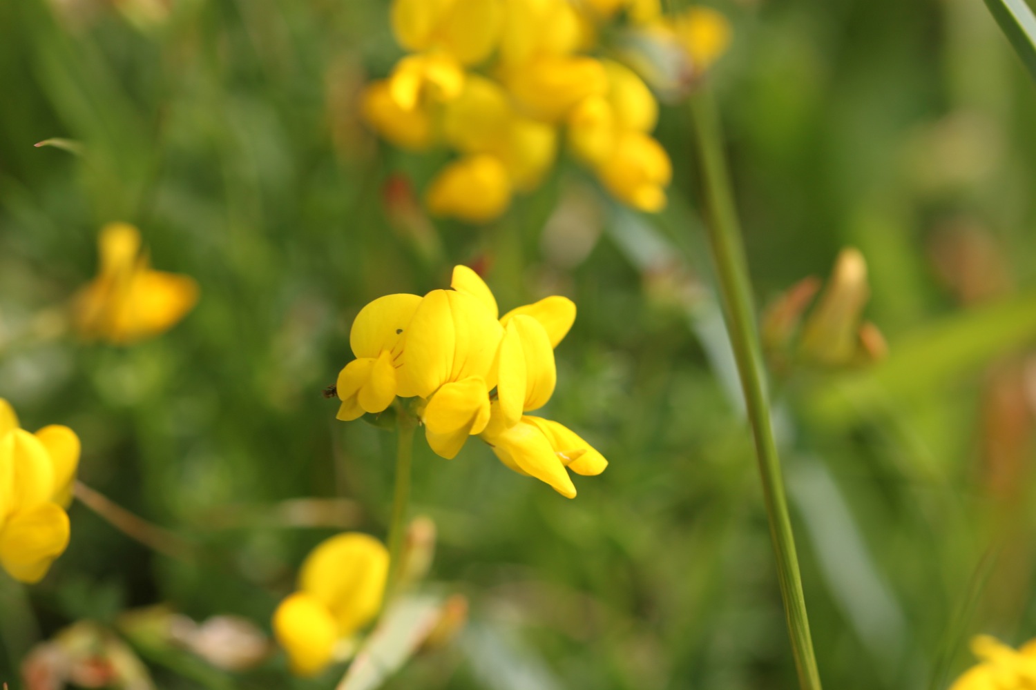
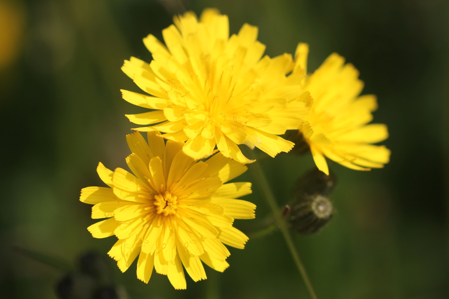
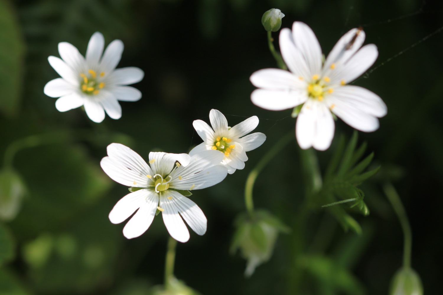
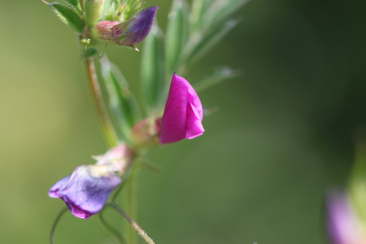
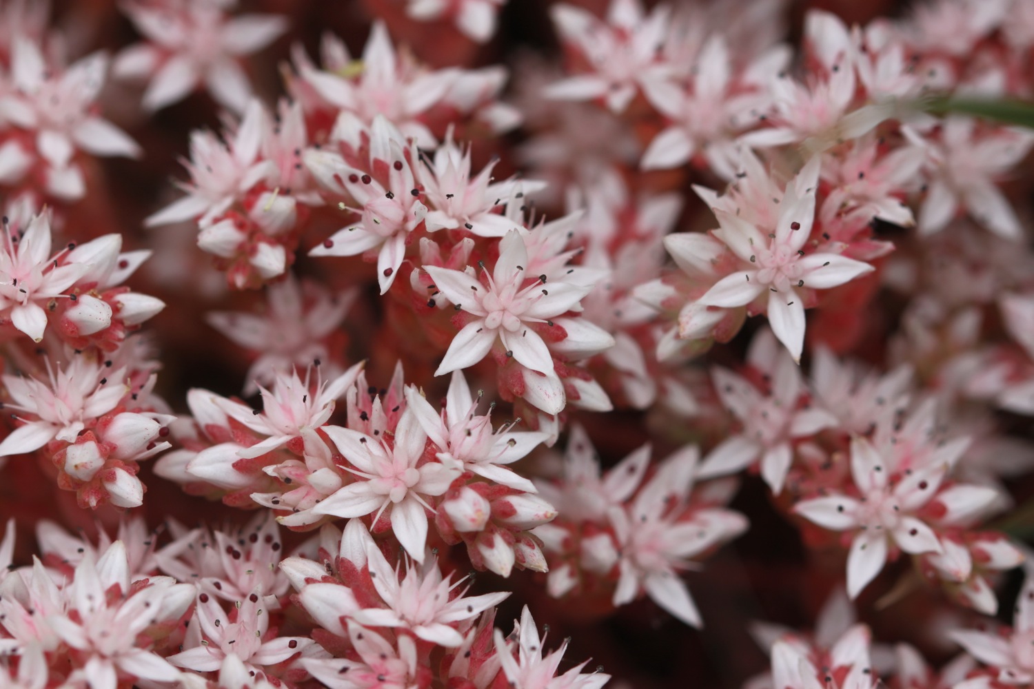
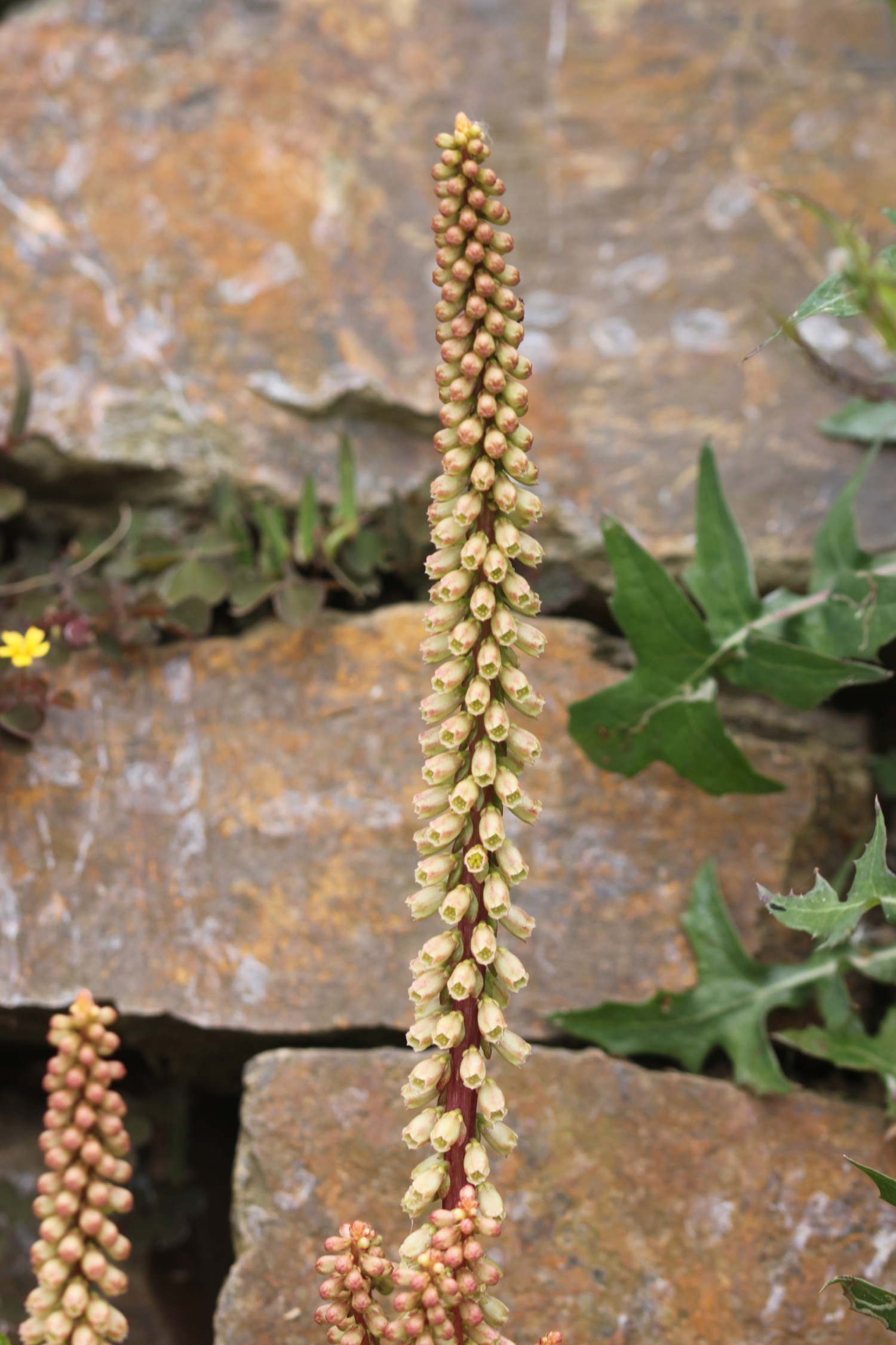
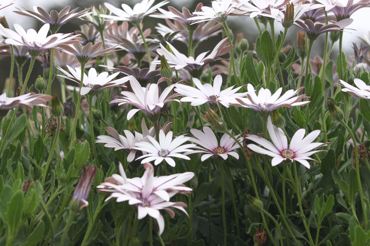
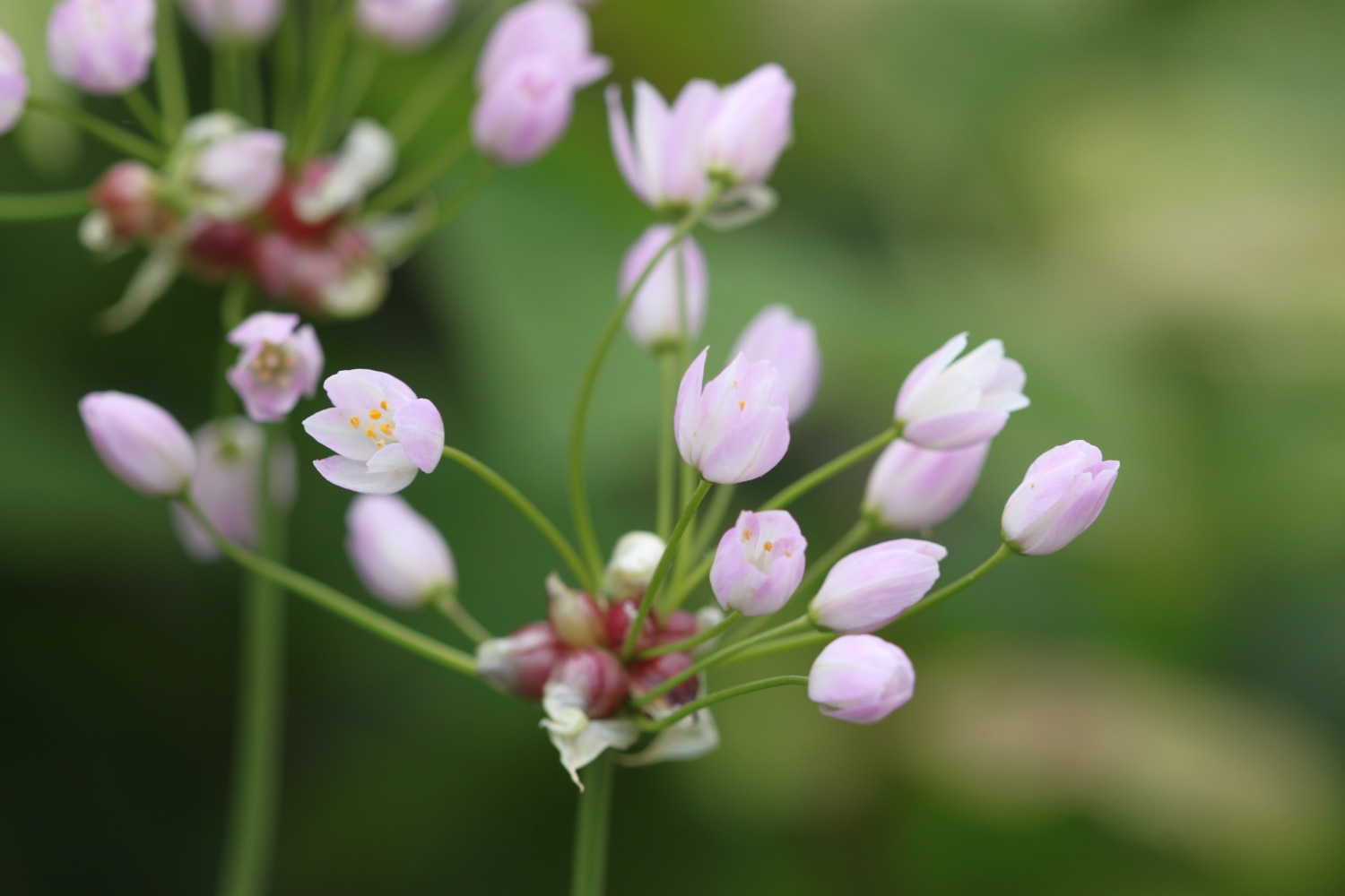
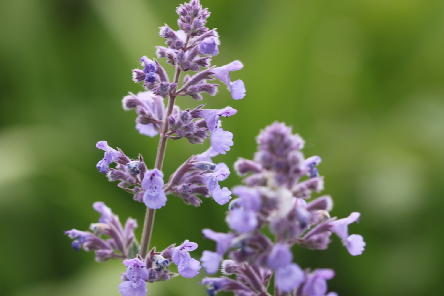
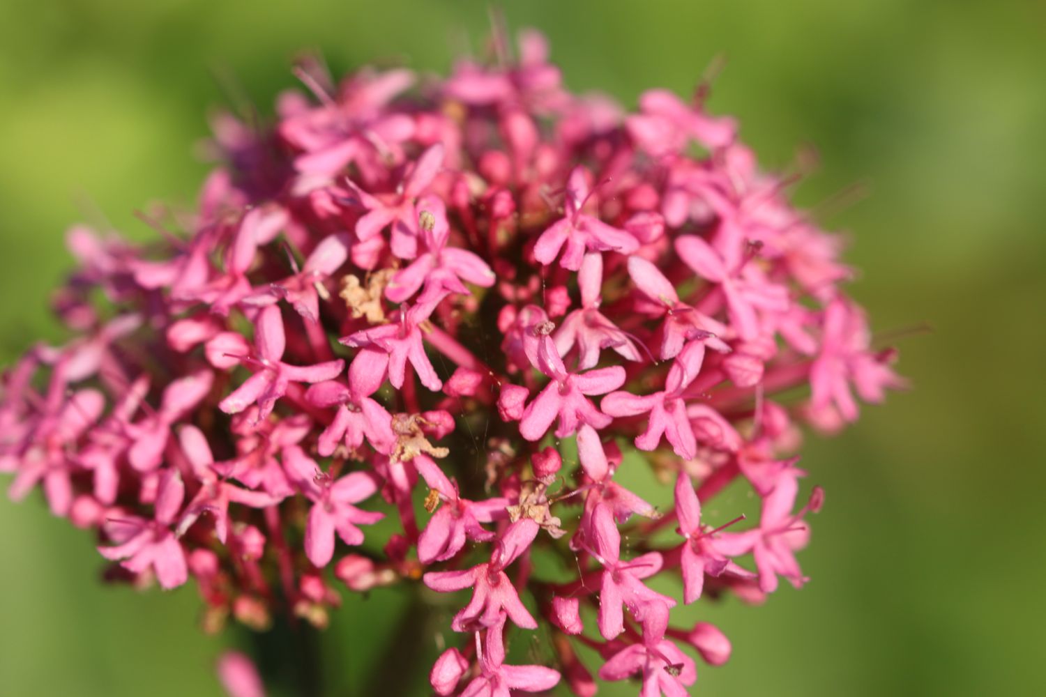
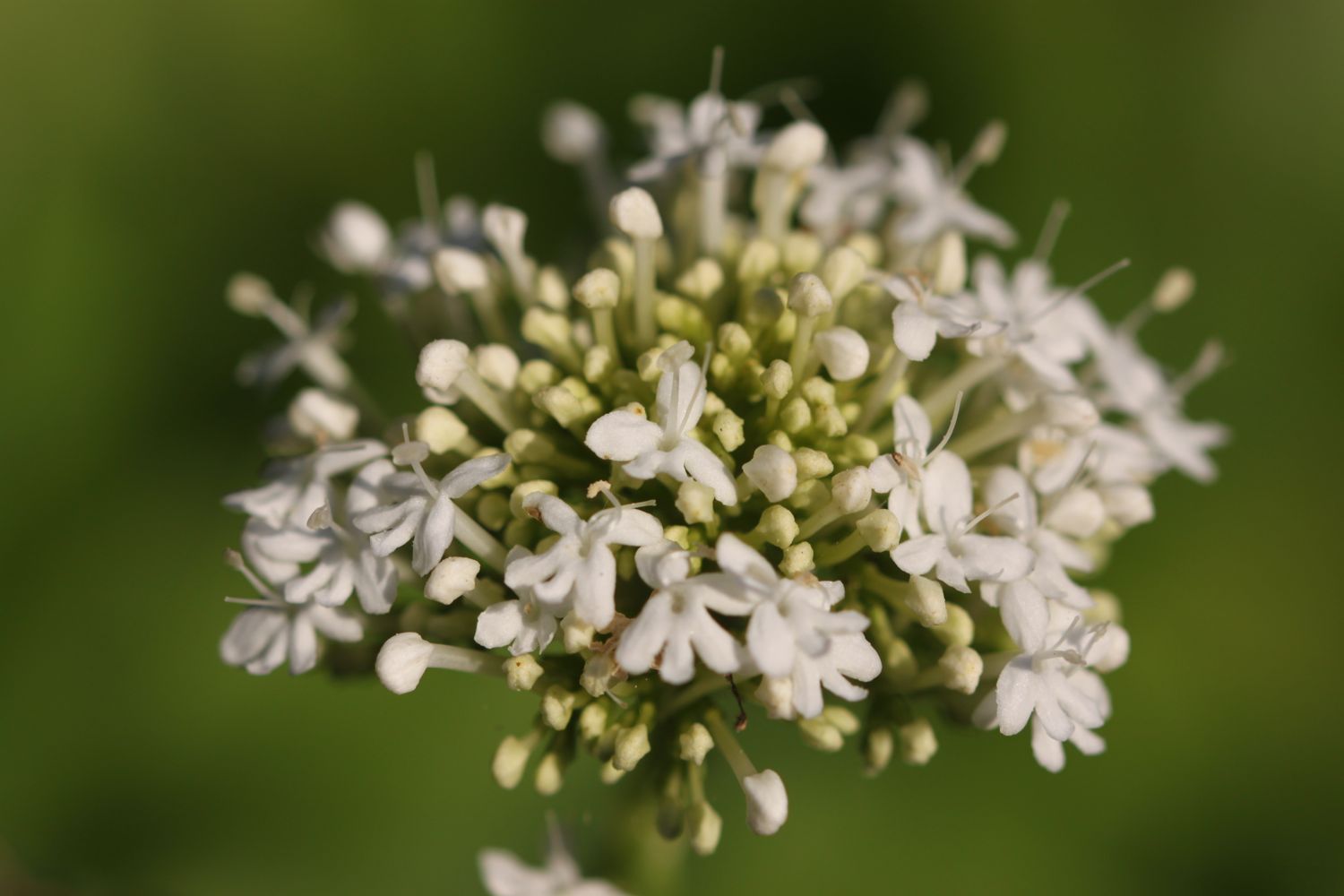
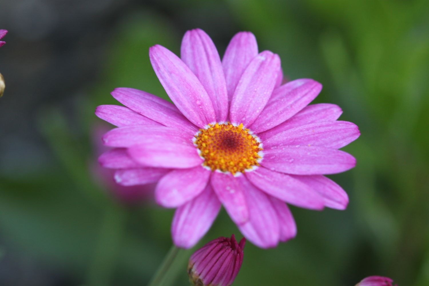
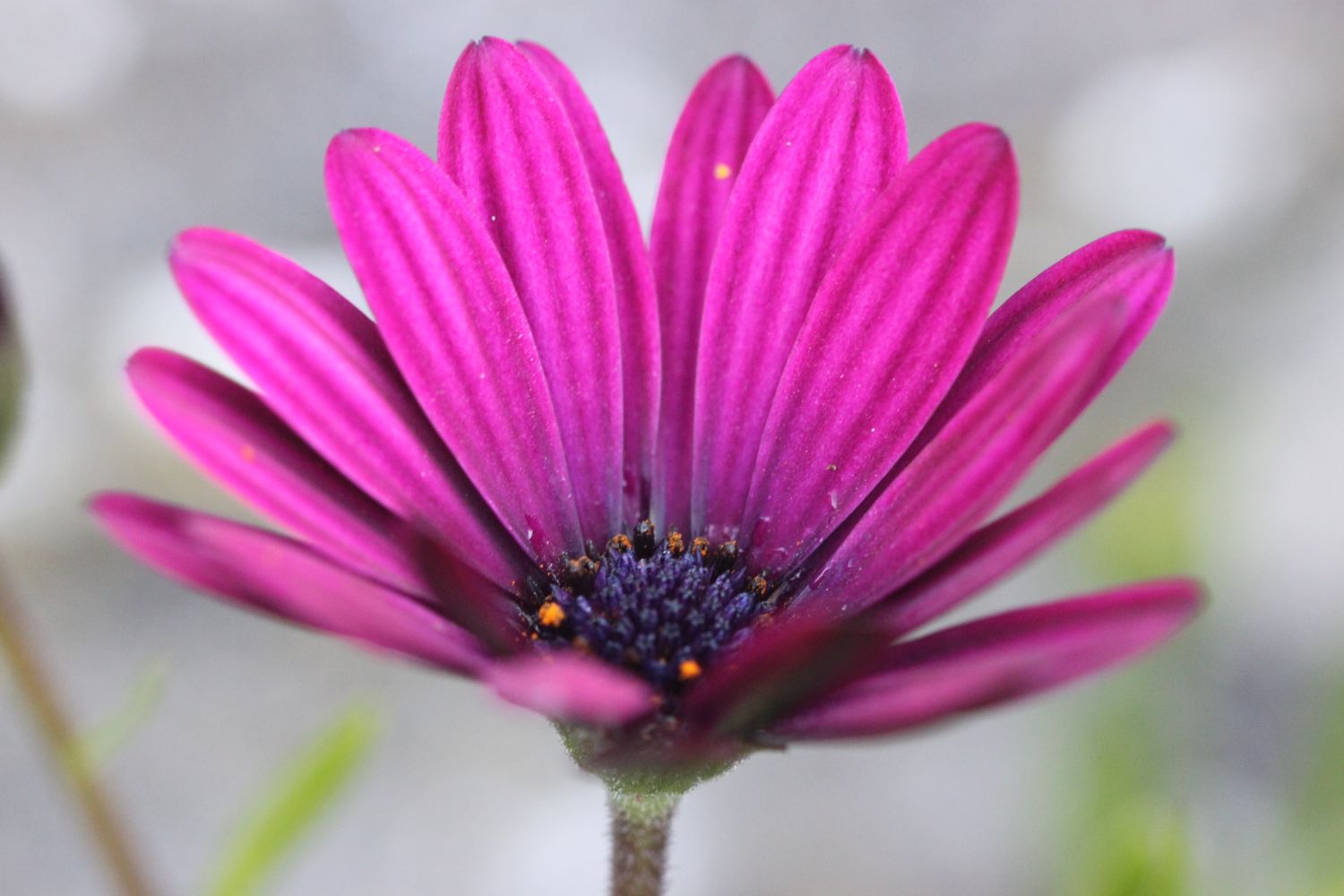
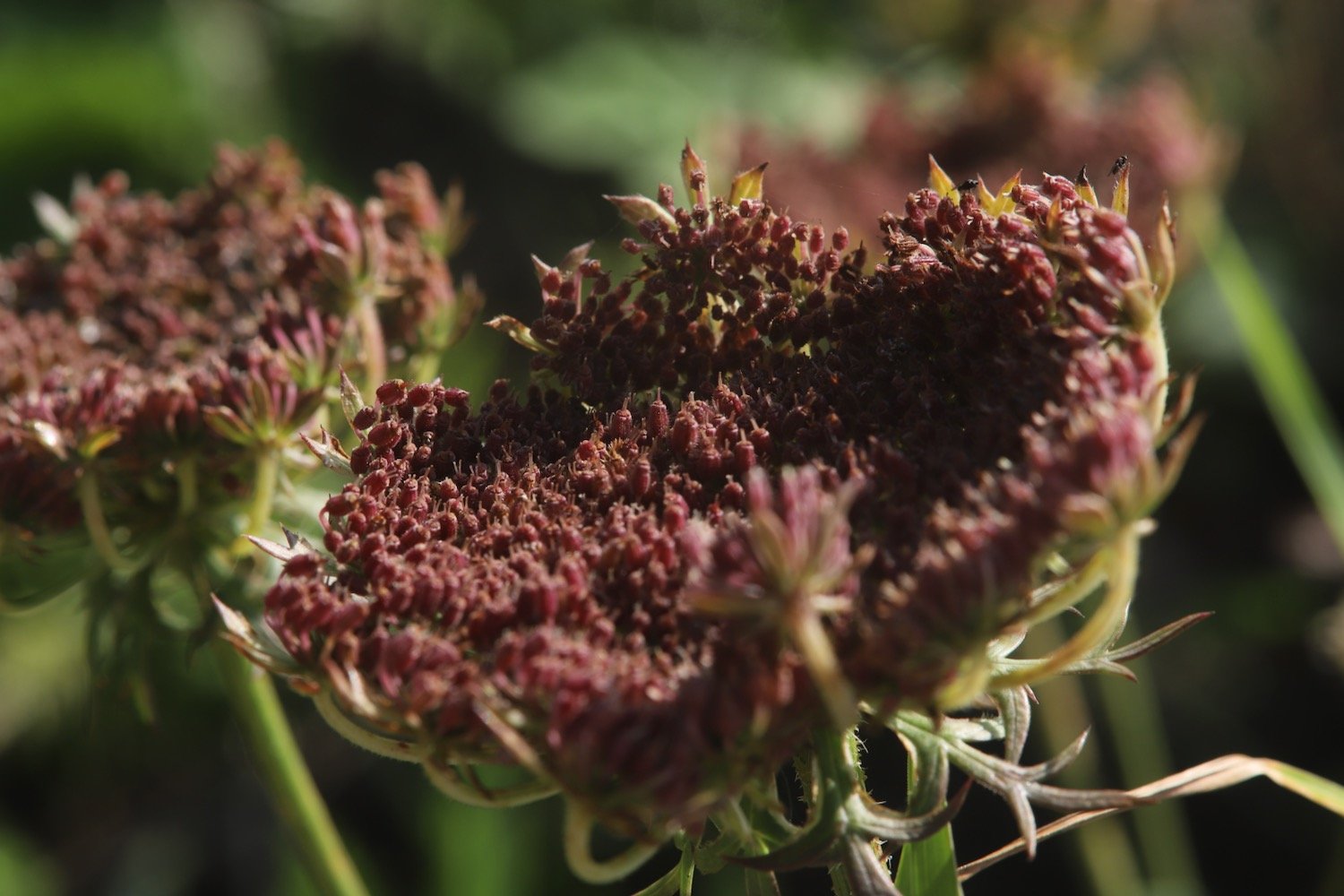
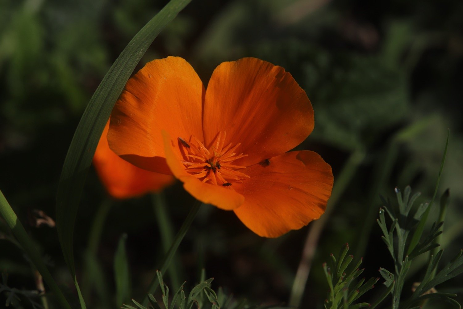
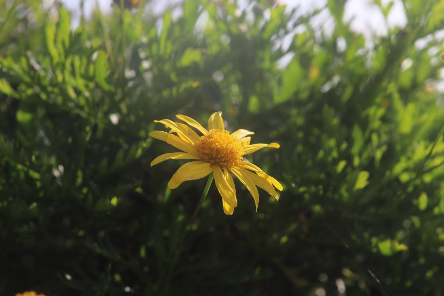
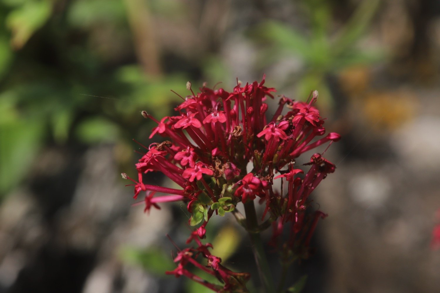
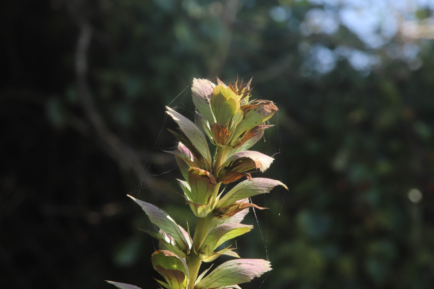
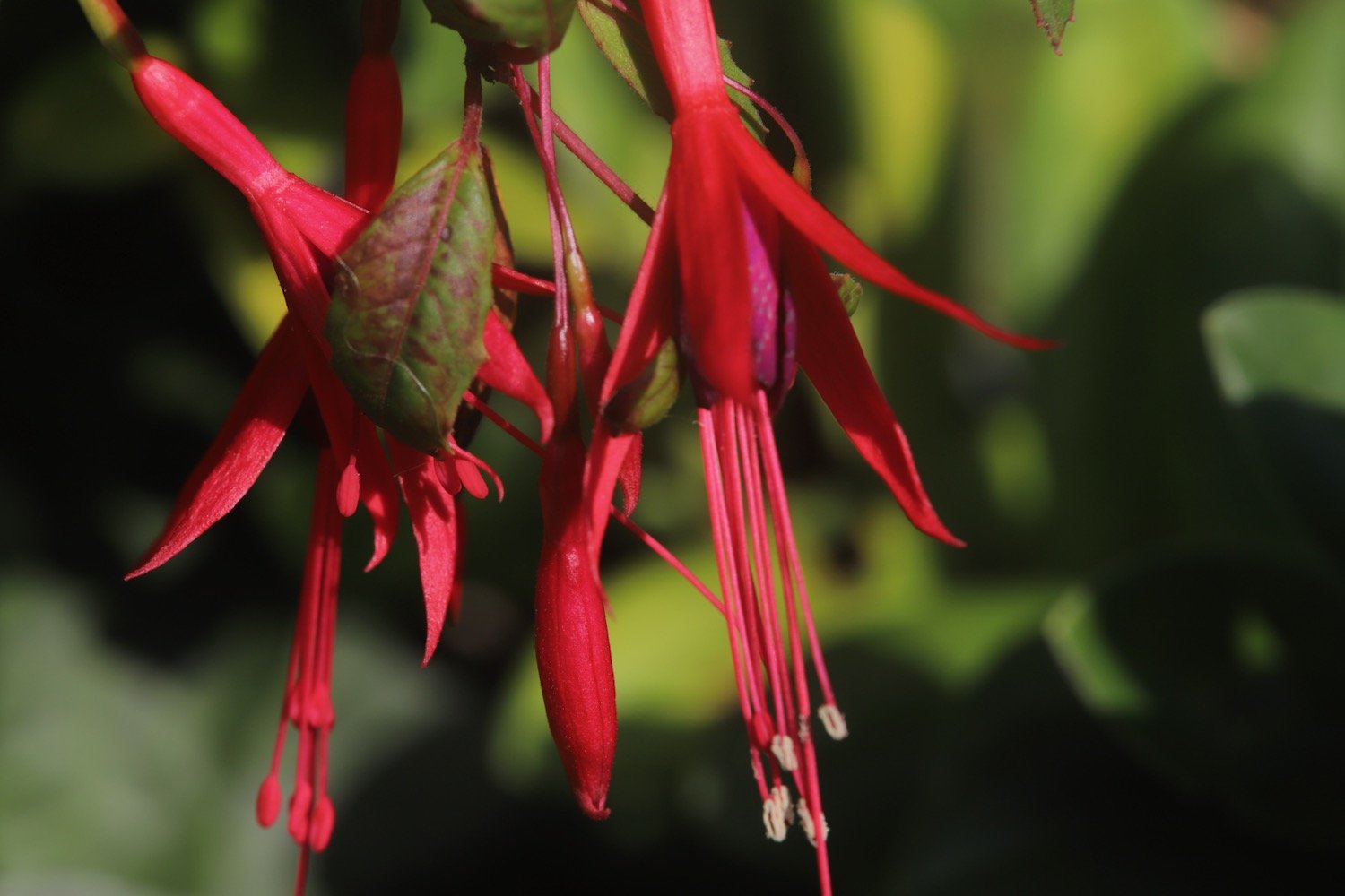
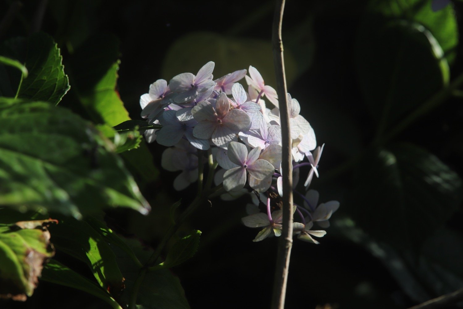
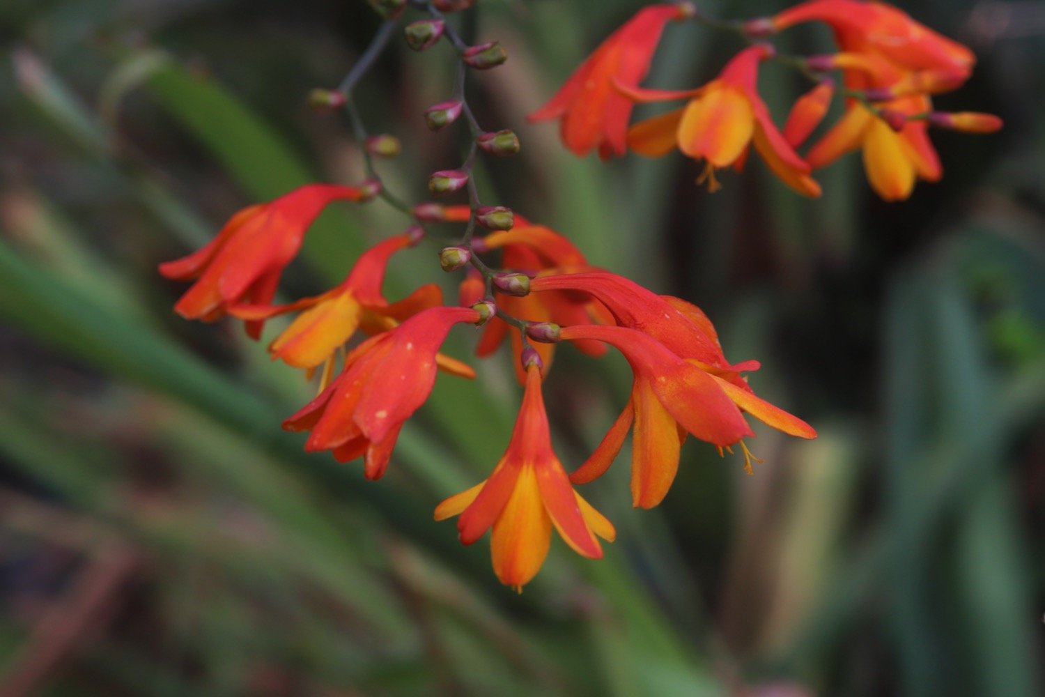
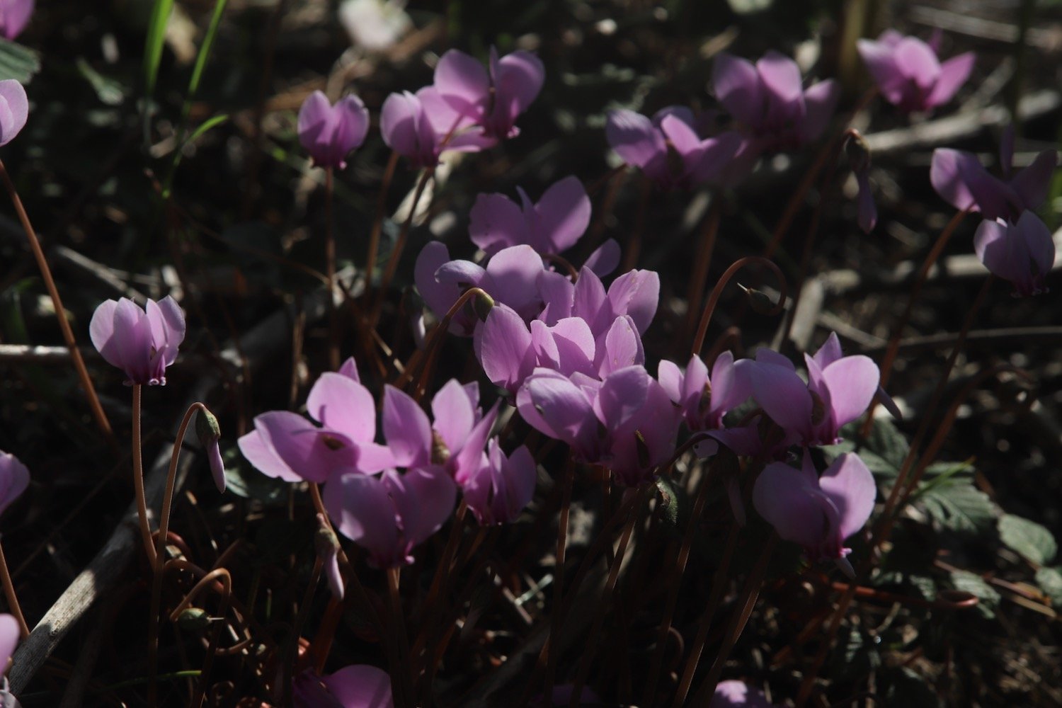
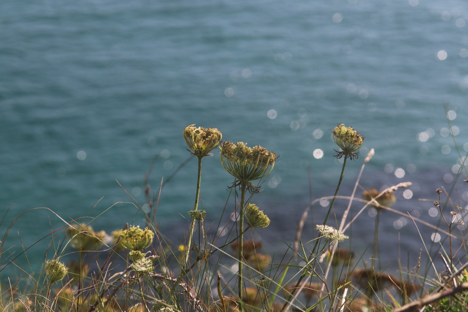
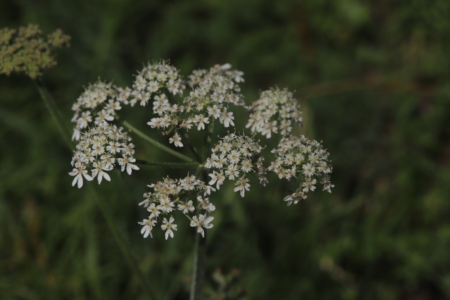
I amble along taking photographs of the wild and cultivated flowers.
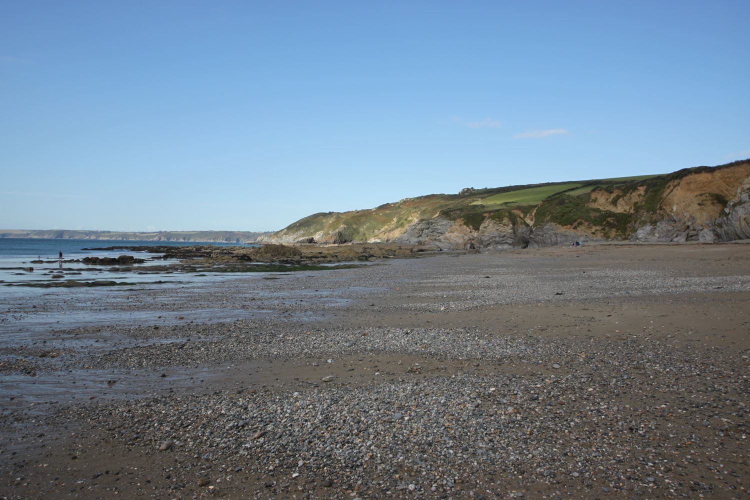
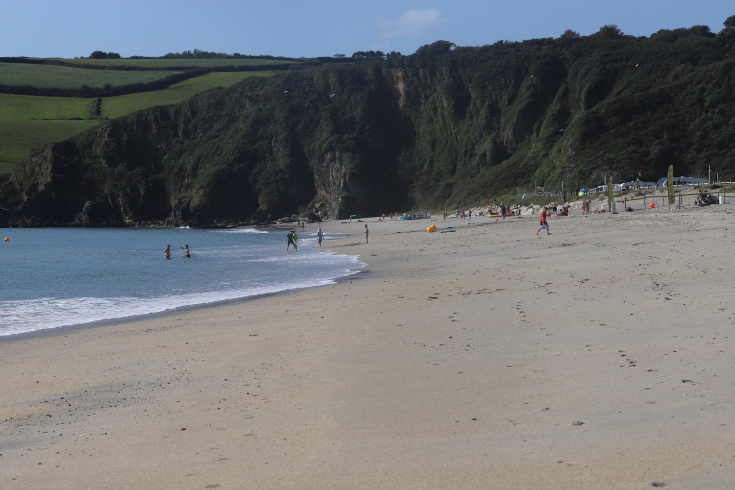
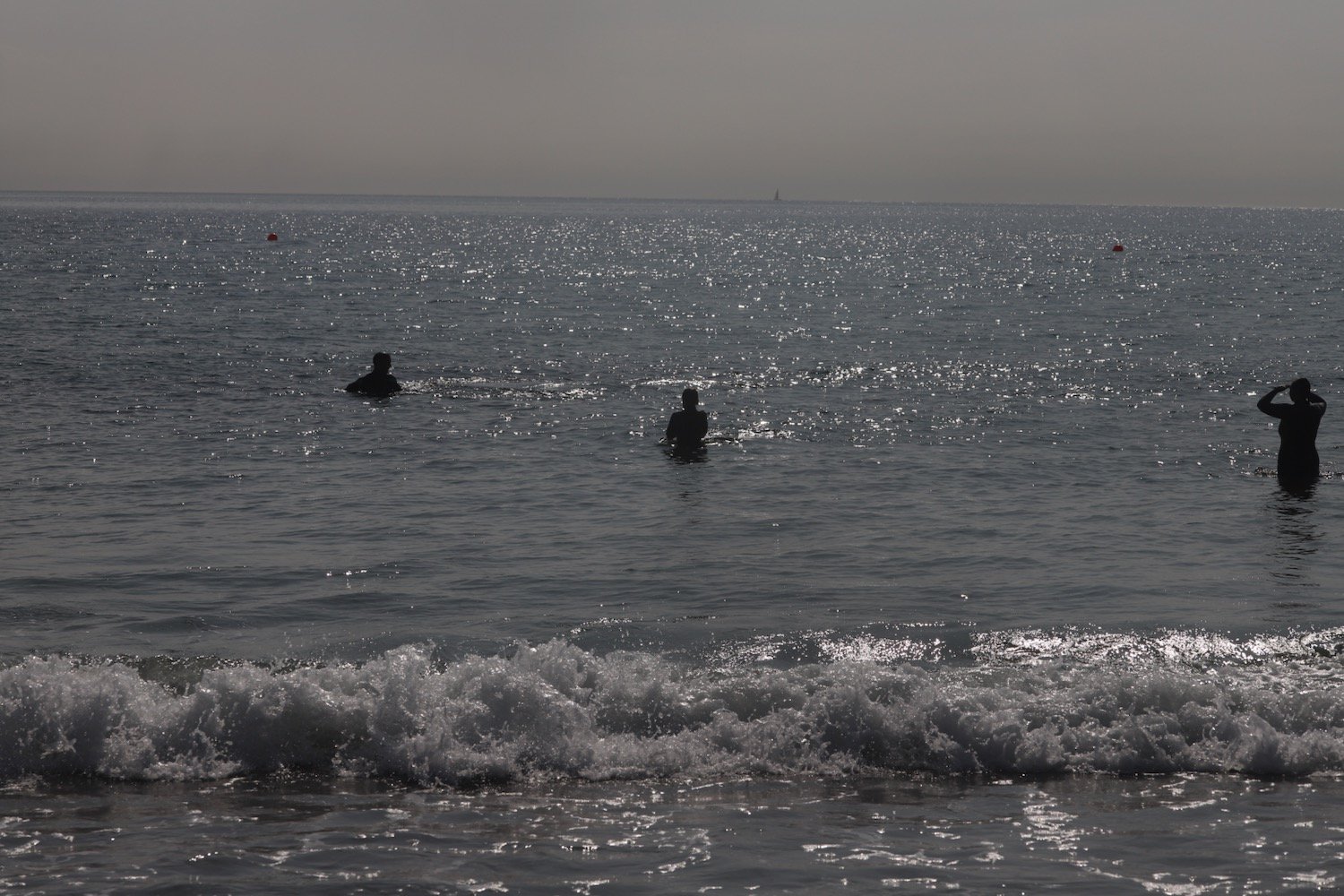
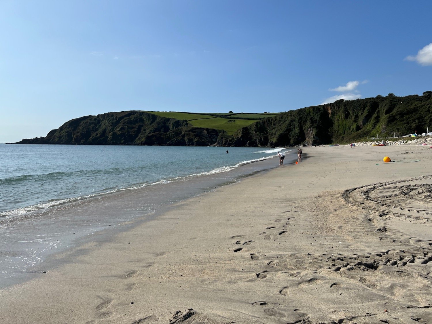
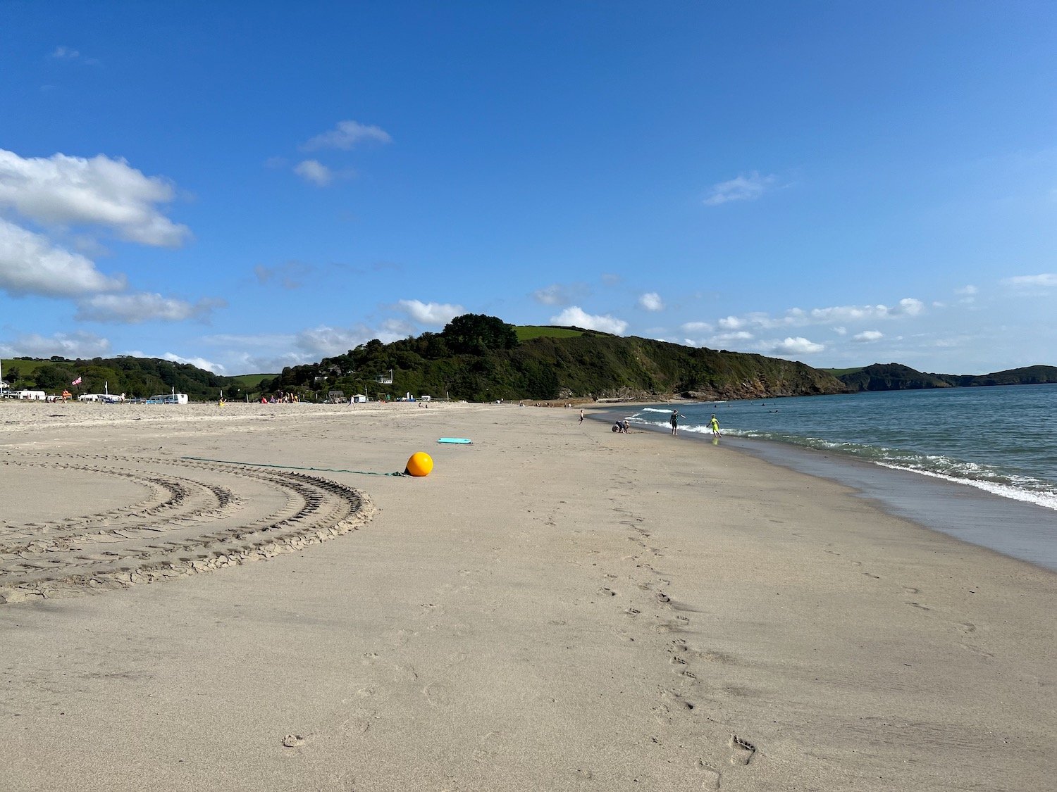
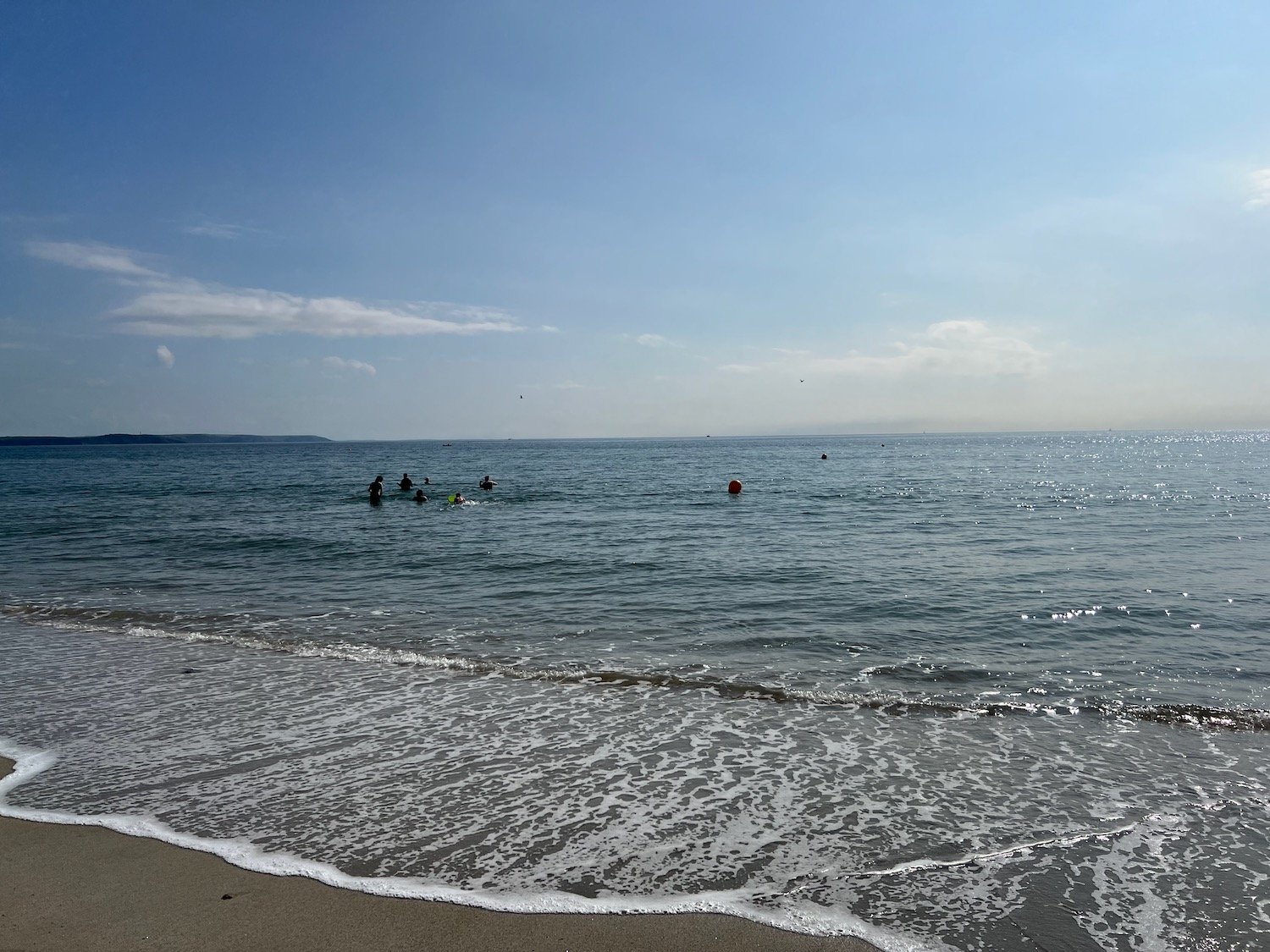
I now have lovely views over Pentewan Beach. It’s looking pretty busy down there despite the fact that the kids should be back at school.
view over pentewan
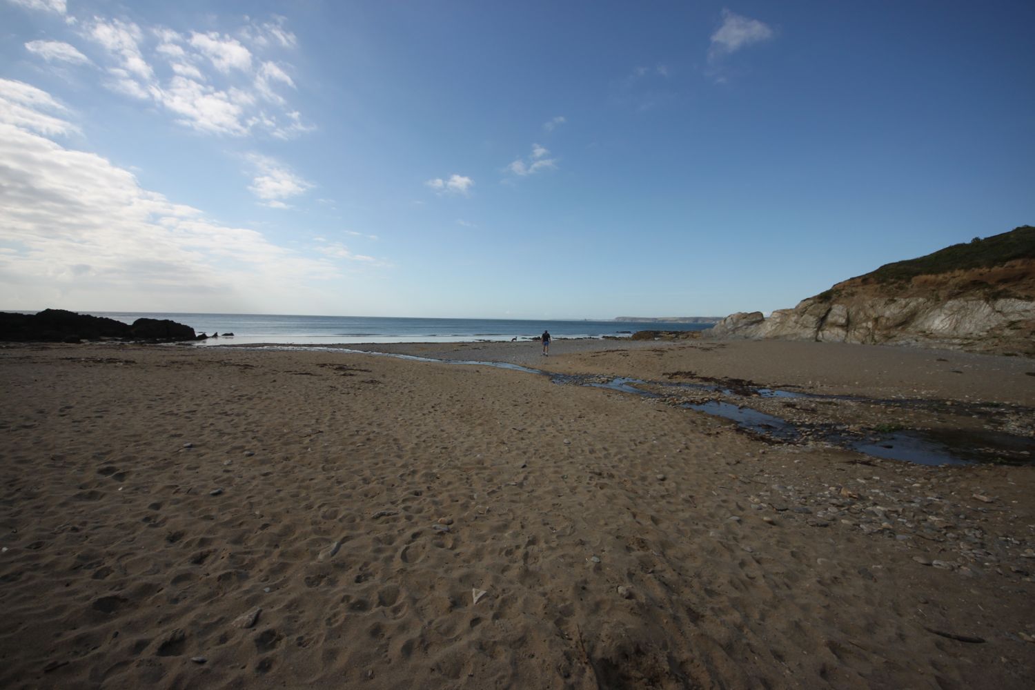
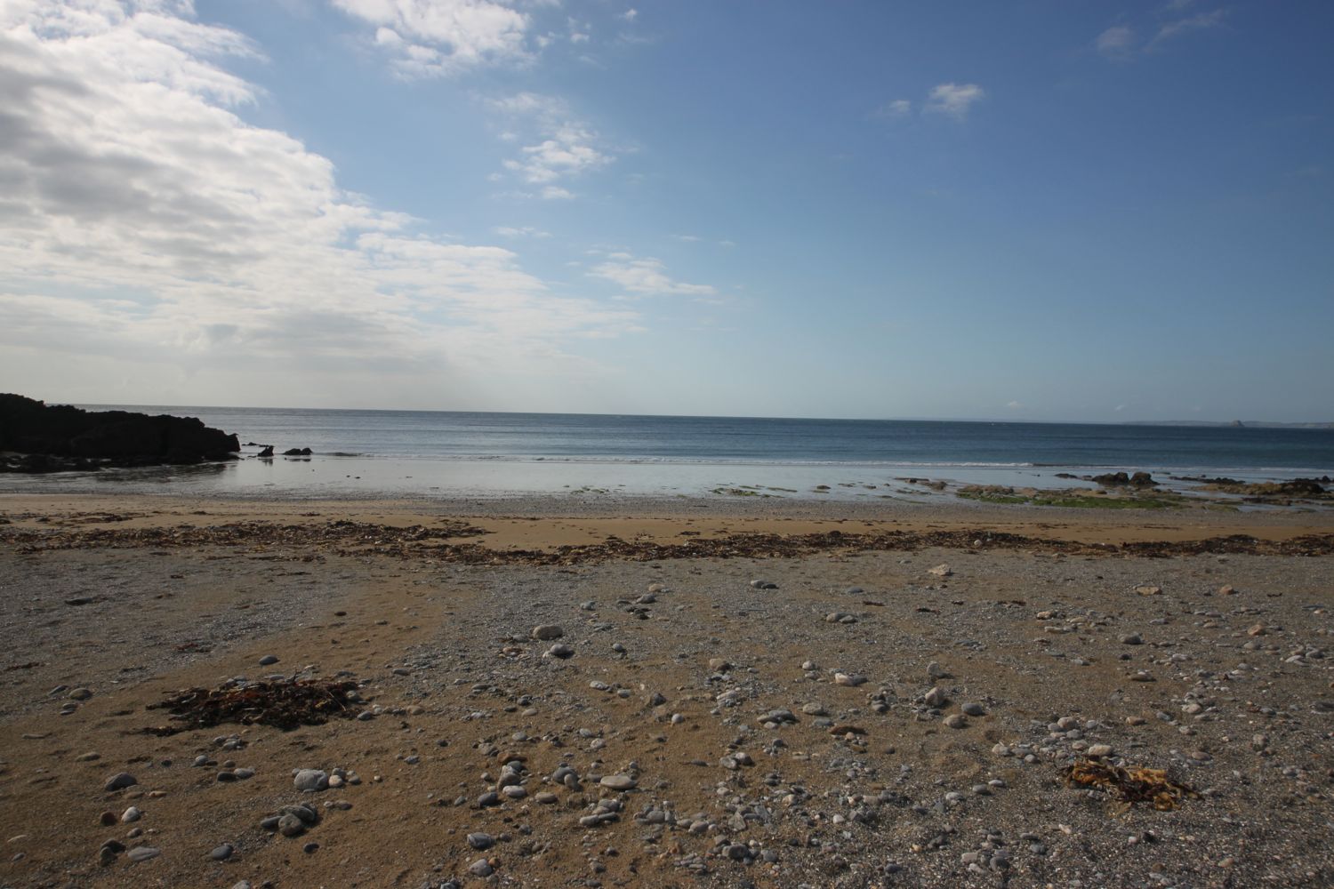
I descend to Pentewan Beach and the Pentewan Sands Holiday Park. The official coast path route skirts around Pentewan Beach, presumably because the beach is privately owned. I head for the beach anyway and, technically, do a bit of trespassing.
At the end of the beach a path takes me back to the official coast path at Pentewan village.
Pentewan apparently means 'foot of the radiant stream'. I cross a stream but I can’t say that it’s particularly radiant. The village and harbour here date back to medieval times and although the harbour was once important for shipping china clay it is now entirely cut off from the sea.
I take a footbridge over the harbour entrance and then round the harbour to reach the The Ship Inn.
ship inn
The path leaves the square in Pentewan village and then climbs steeply up Pentewan Hill and passes All Saints Church.
all saints church
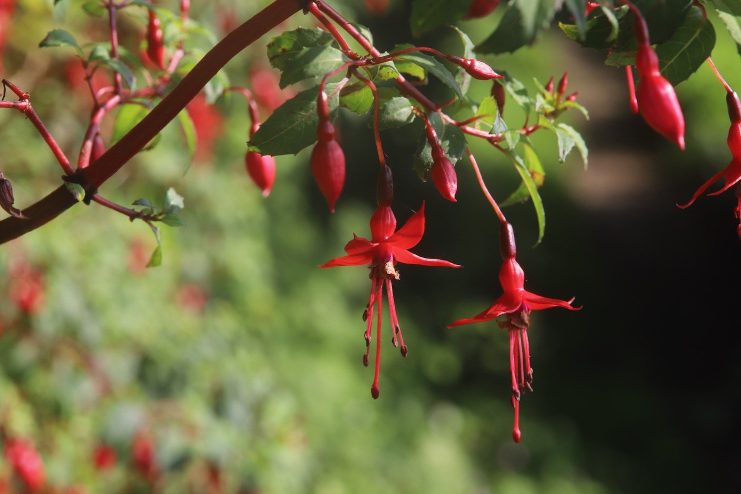
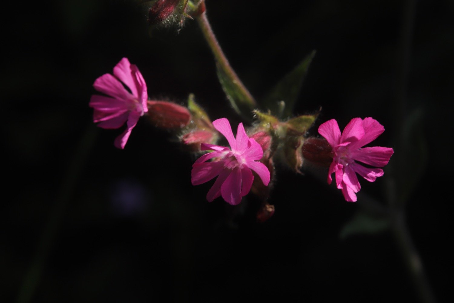
I amble along the path out of Pentewan, photographing the various flowers.
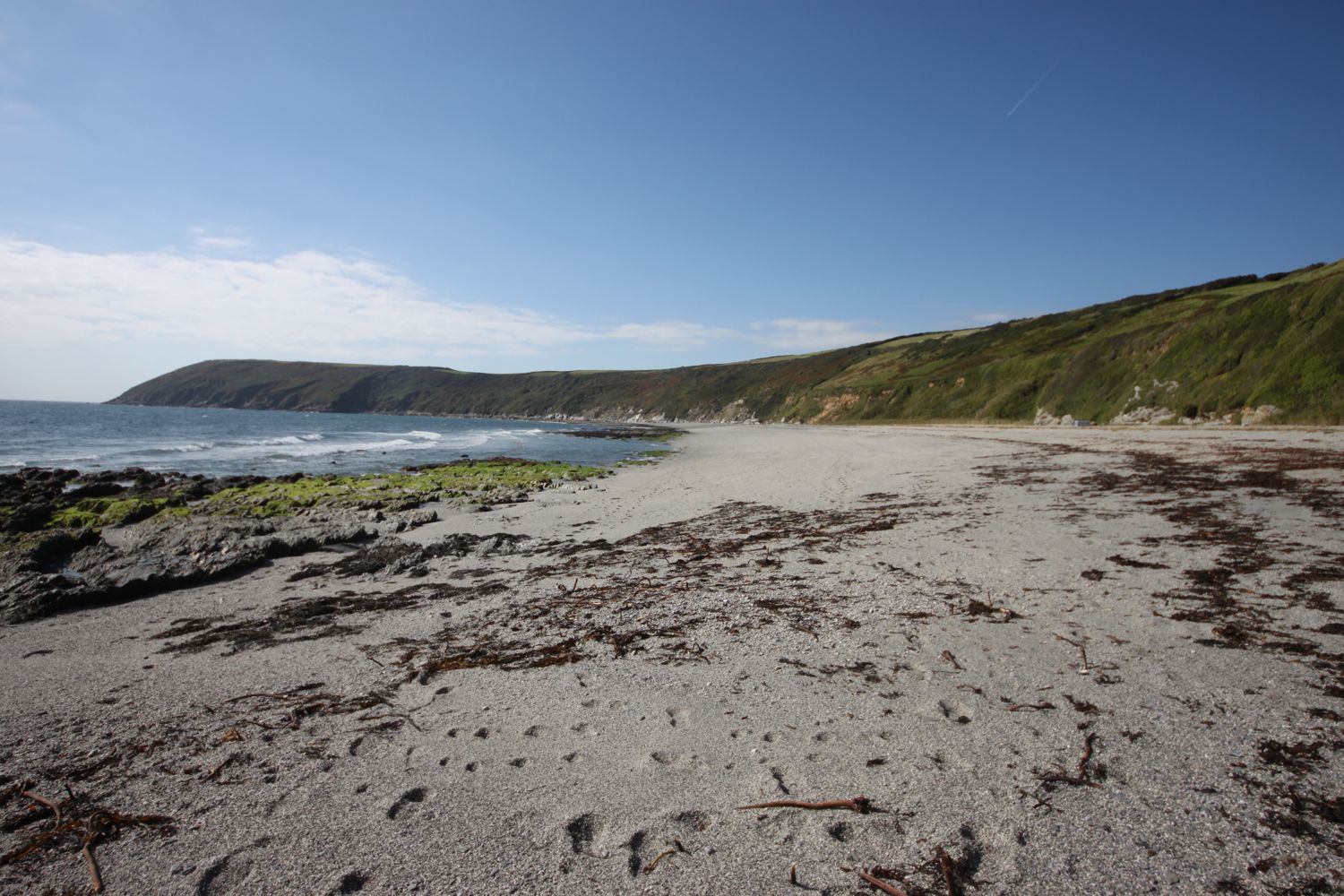
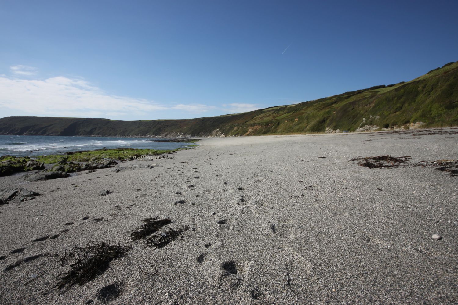
I have a final view down towards Pentewan beach.
leaving pentewan beach
leaving pentewan beach
The path passes Polrudden Cove and I have lovely views across to the beacon on Gribbin Head.
beacon on gribbin head
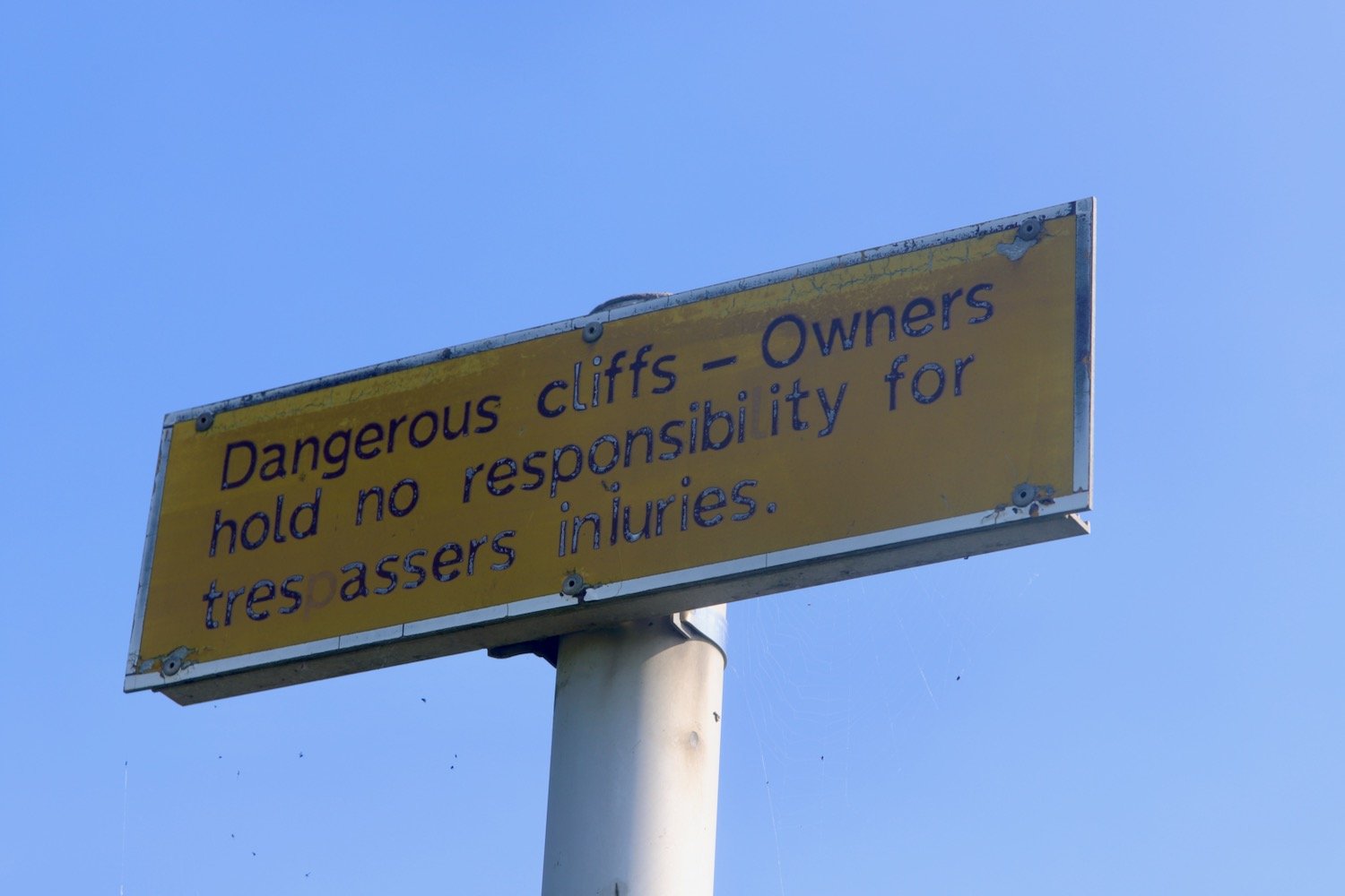
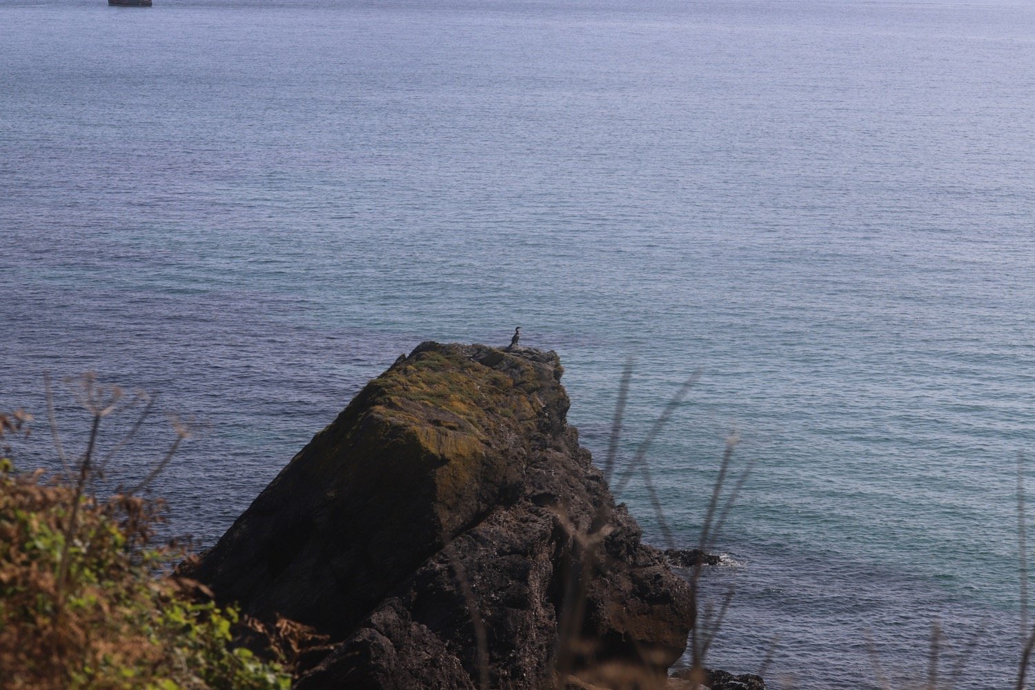
I continue ambling along the coast path where a sign warns me that the cliffs are dangerous and that the owners are not responsible for trespassers injuries. I also pass a lone cormorant out on a rock.
At a stream at East Vans I come across a puzzled couple who are examining a fallen down signpost and have no idea which direction to go. I will continue to meet them throughout the day, mostly the three of us going in the wrong direction.
We head off towards Hallane Mill which used to be surrounded by sculptures but these are long gone and the mill now seems to be a holiday let for Classic Cottages.
hallane mill
The path continues towards Black Head and passes a big granite block in memory of the Cornish poet A L Rowse.
“A L ROWSE CH
1903-1997
POET AND HISTORIAN
LEF A GERNOW
VOICE OF CORNWALL
THIS WAS THE LAND
OF MY CONTENT”
a l rowse
I should double back round on myself at the memorial but there aren’t any signs indicating this so I head off in the wrong direction where I meet the couple for a second time at a dead end on Black Head.
I’m starting to feel pain in my right foot, which has never happened before, and this injury will continue to cause me problems for the rest of the week.
We retrace our steps and round the memorial stone where the path heads for some woodland and then climbs up along Ropehaven Cliffs.
ropehaven cliffs
I enter woods and, at a bench, follow the wrong path (no signs again) and get temporarily lost. The couple follow me down the wrong path before we realize that we’ve gone wrong again and retrace our steps up to the bench to follow the correct path.
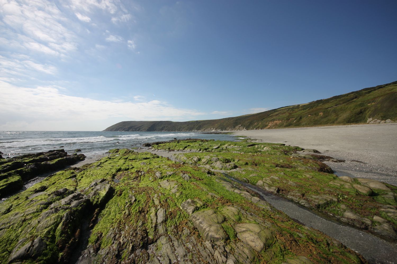
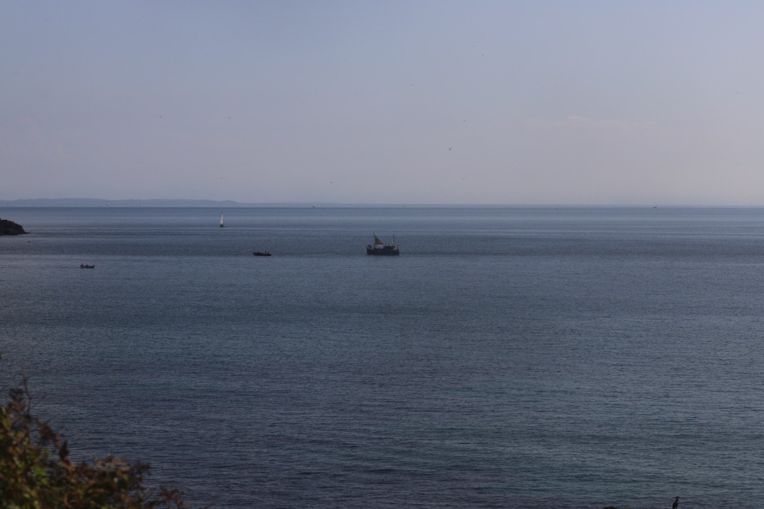
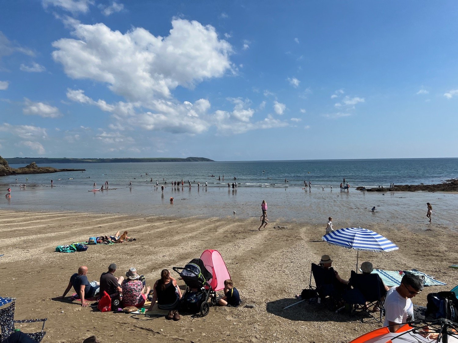
I pass Gwendra Point, Silvermine Point and Phoebe's Point where I have magnificent views over St Austell Bay.
view over st austell bay
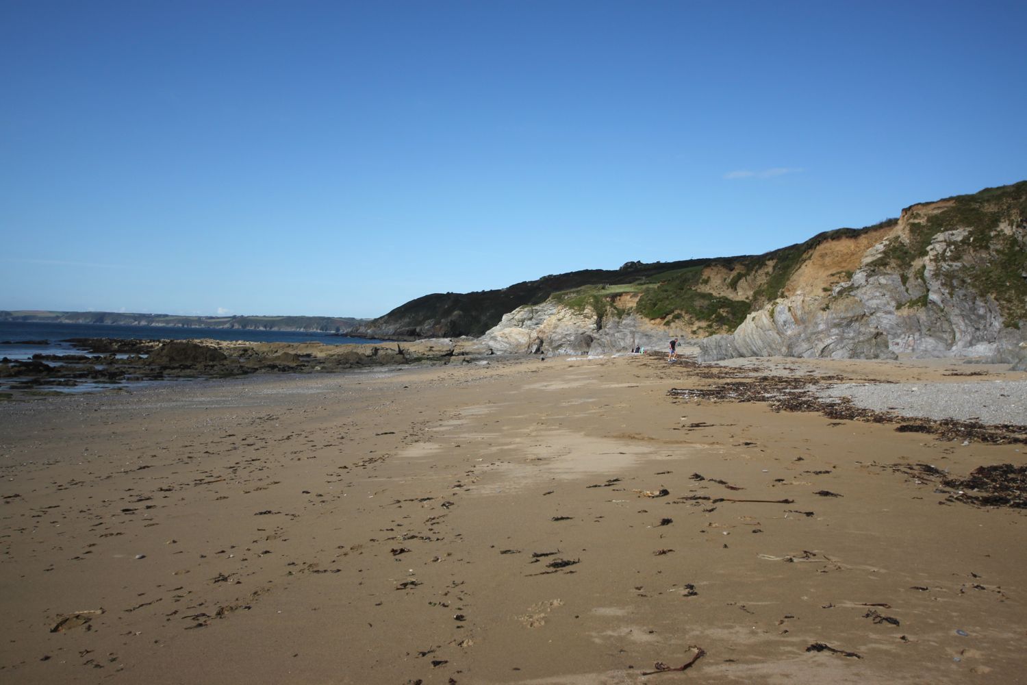
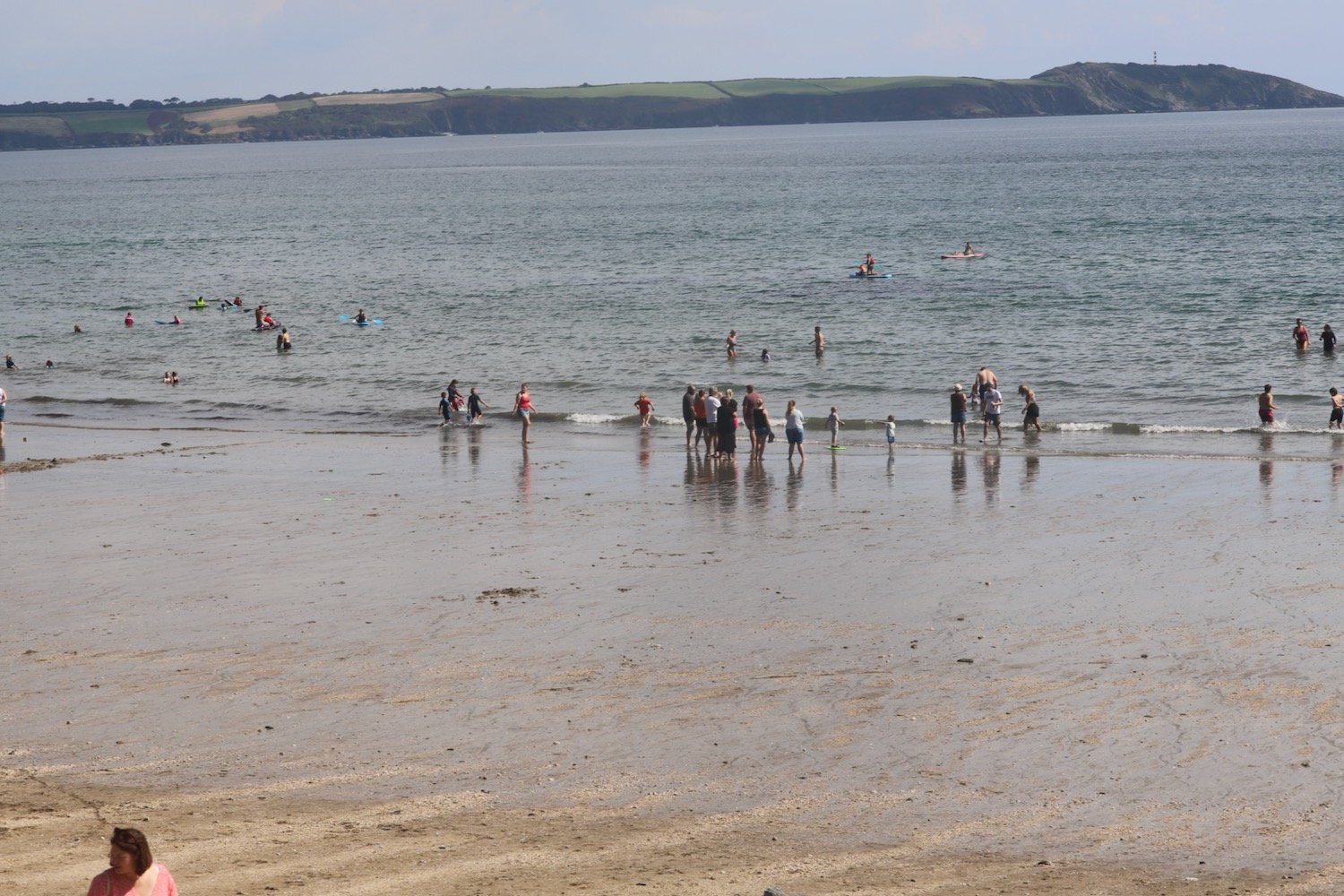
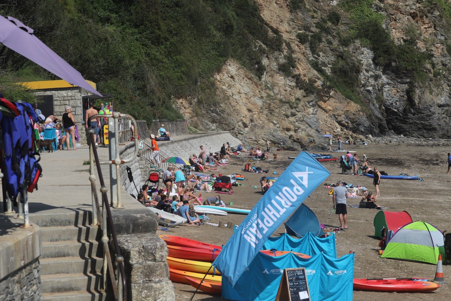
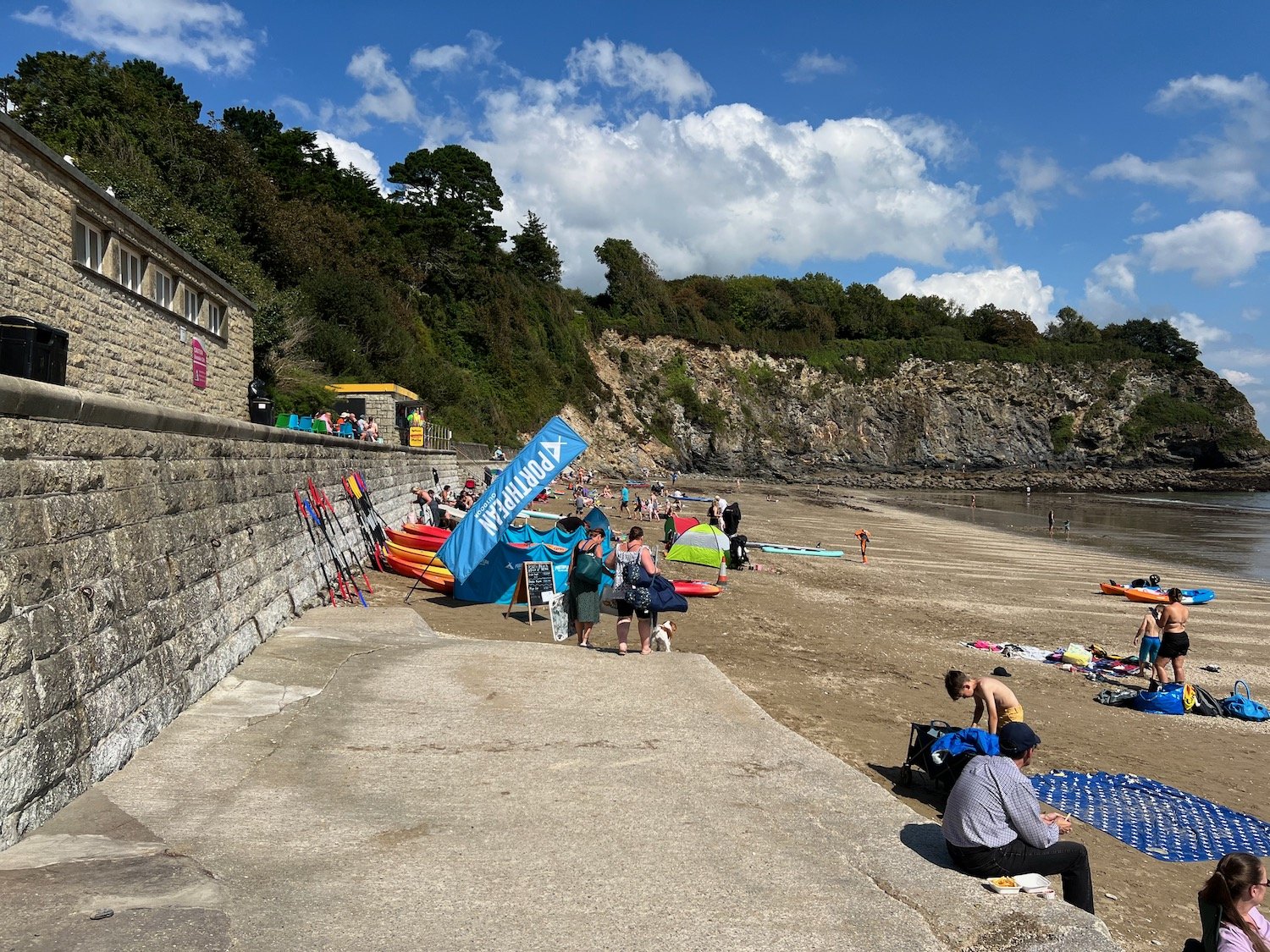
I drop down to the village of Porthpean where there is a lovely, sandy beach. It is much busier than I was expecting. The beach is home to Porthpean Sailing Club and the Porthpean Beach Cafe can be found here.
There aren’t any signs so I go wrong again but eventually see my fellow walkers one last time walking along the sea wall where, at the far end, I find a set of steps which takes me back onto the cliffs.
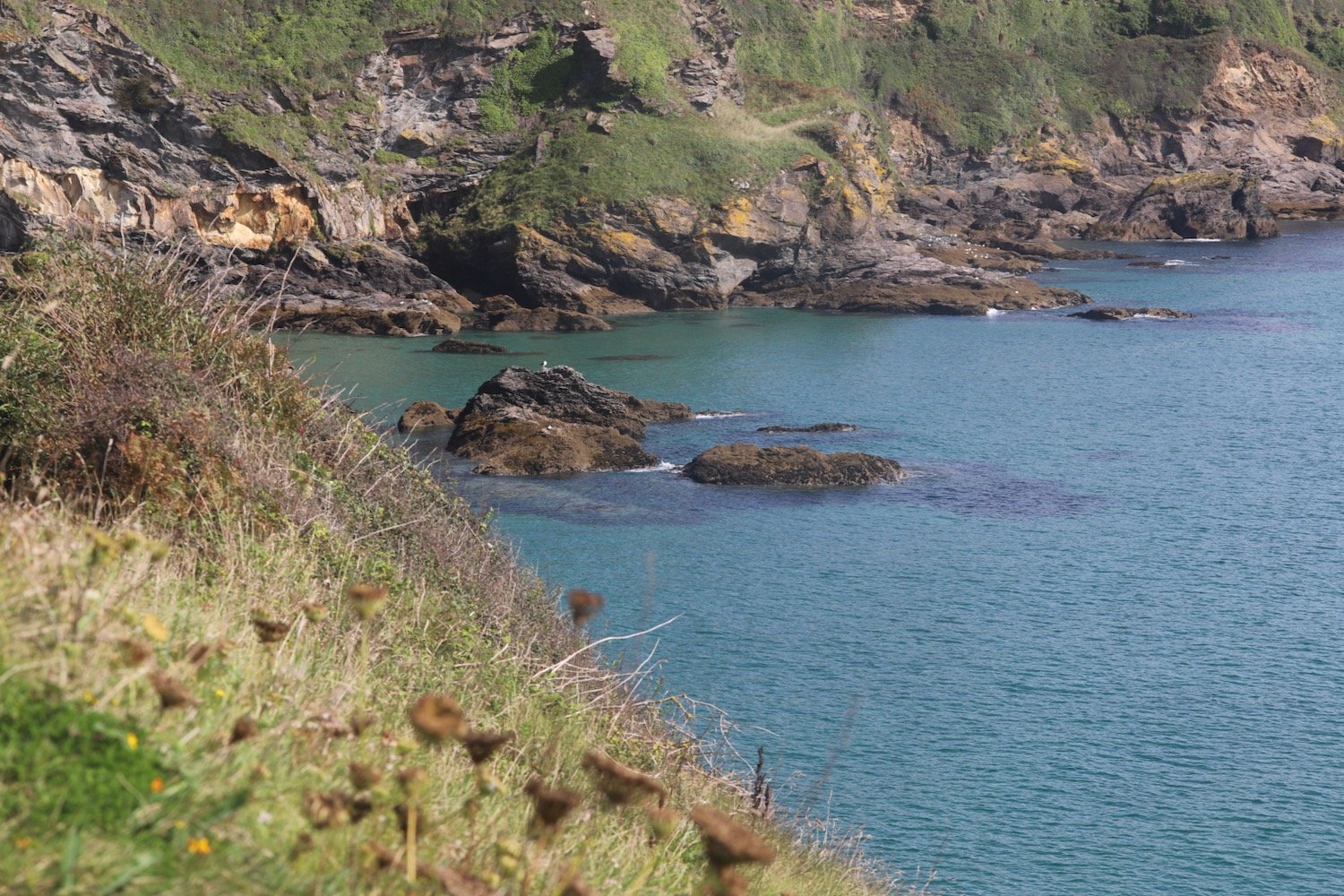
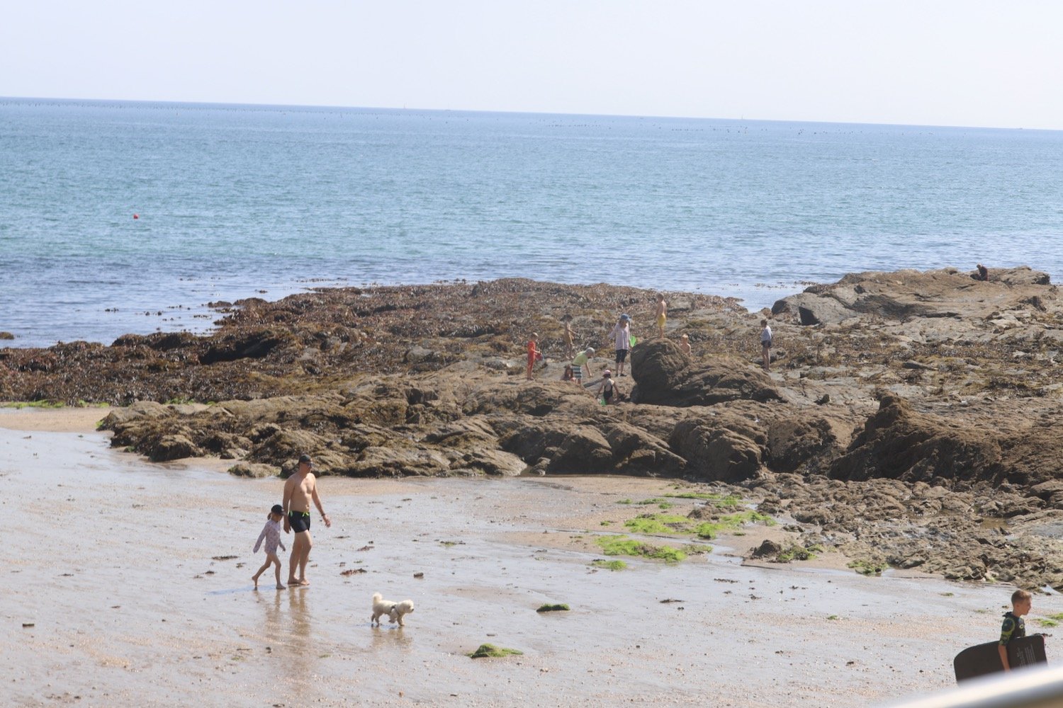
A short walk over Carrickowel Point takes me to Du Porth Beach which means 'two coves' in Cornish. The beach is privately owned but accessible to the public and it's much quieter than Porthpean Beach.
My foot is causing me some serious grief now so I take a quick photograph before retracing my steps back on to the cliffs.
du porth
I regain the coast path and it takes me behind back gardens where I have a final view back over Du Porth.
du porth
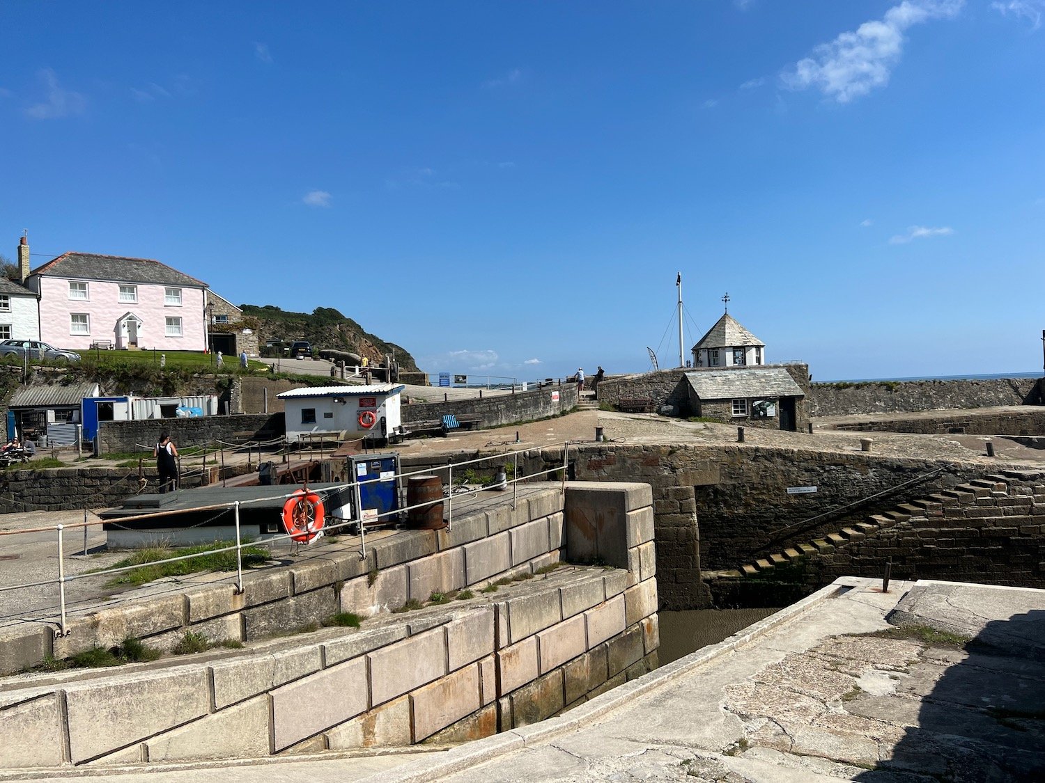
I pass the Crinnis Cliff Battery, constructed around 1793 to defend the entrance to the new harbour at Charlestown.
crinnis cliff battery
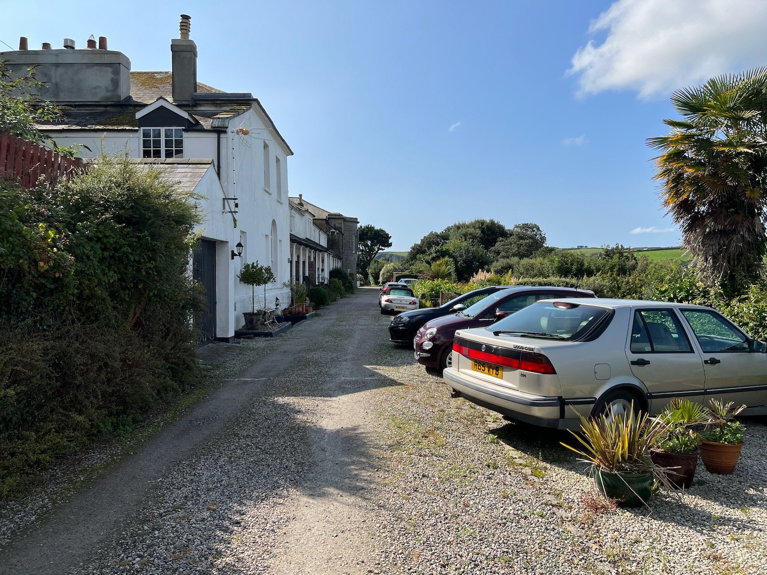
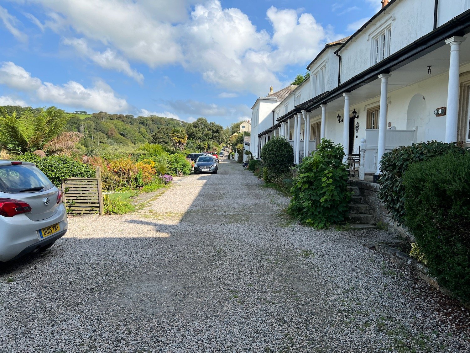
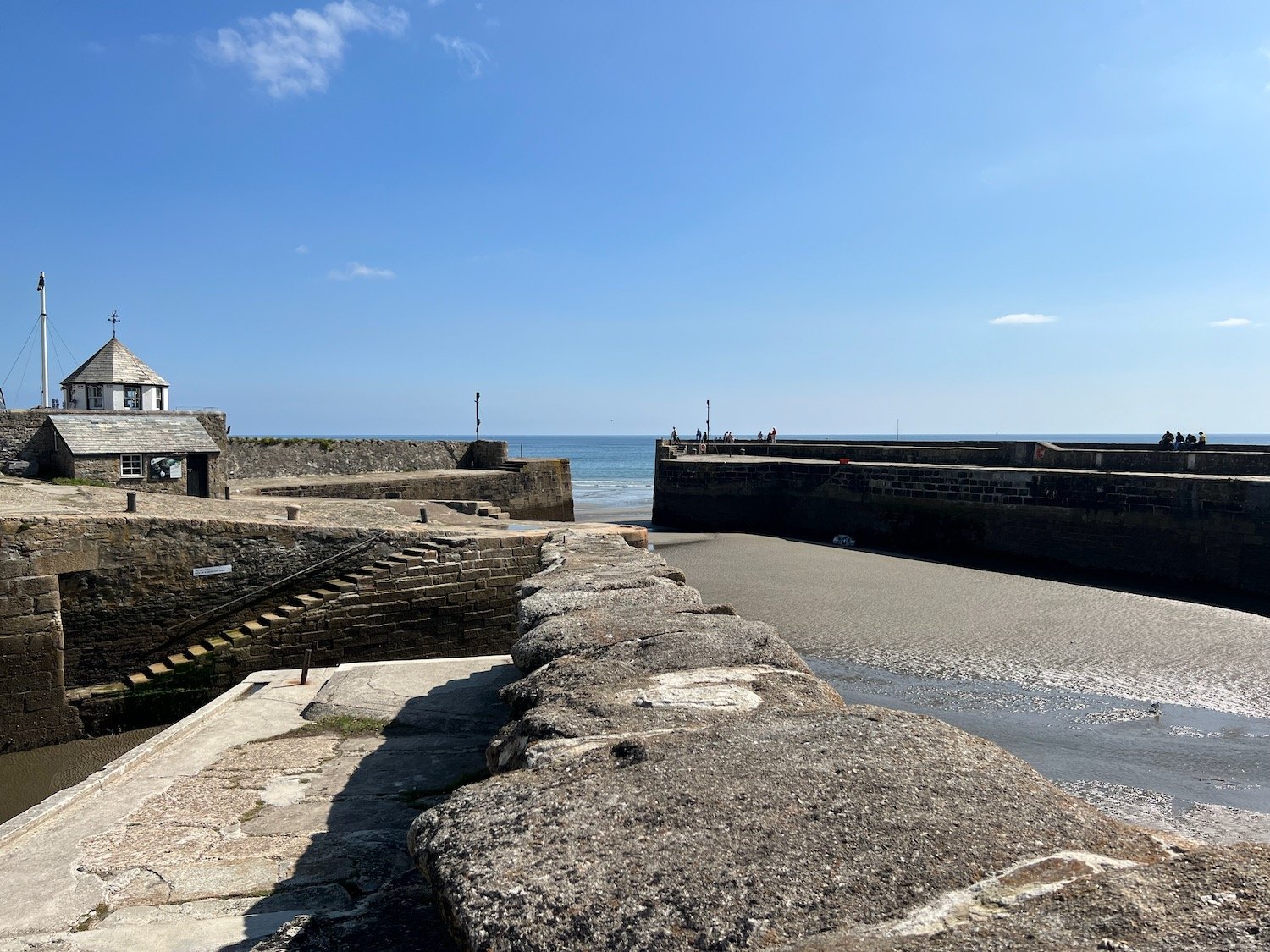
I hobble down the path to reach Charlestown, an unspoilt example of a late Georgian working port, originally used to export copper and import coal but subsequently used to export china clay.
Nowadays it is much more recognized as a television and film location and has been used for The Onedin Line (Blimey! that was a long time ago!!), The Eagle has Landed, Longitude, Apocalypto and Doctor Who amongst others.
The sand and pebble beach here sits just outside the harbour.
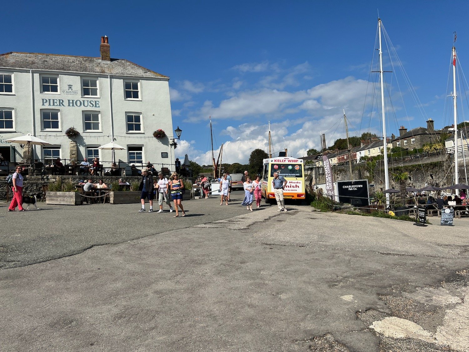
I hobble painfully up through Charlestown to the car park where my lift awaits.
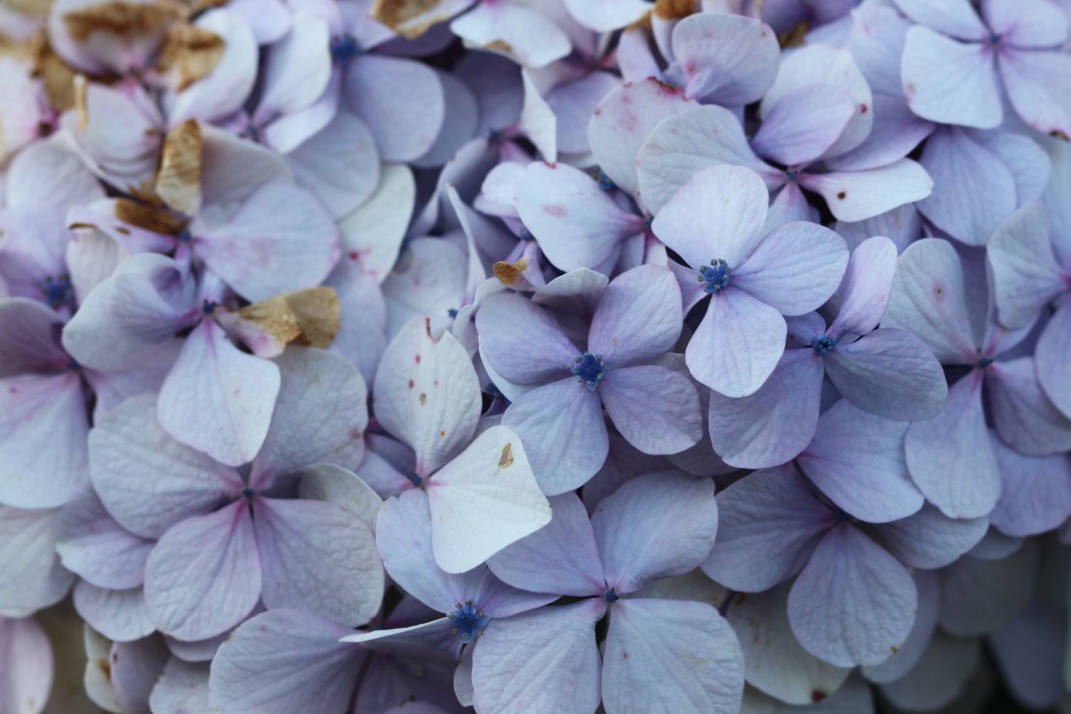
FLORA AND FAUNA
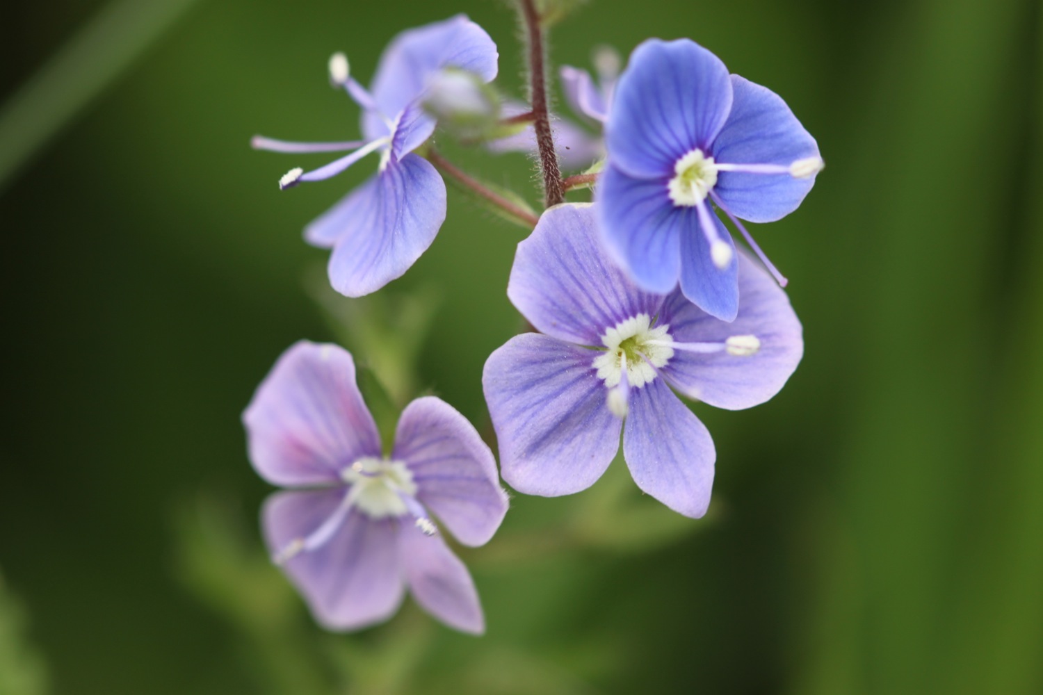
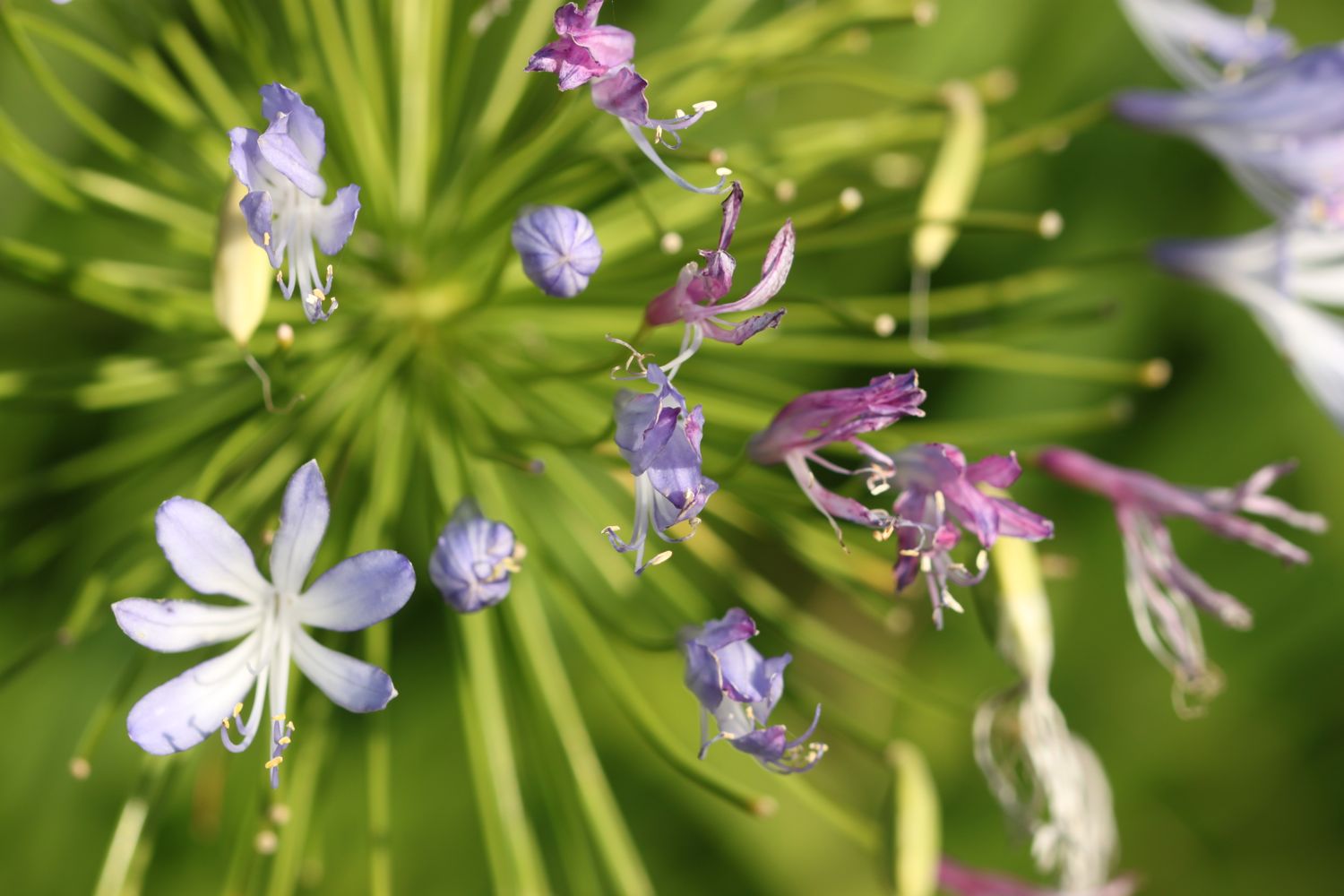
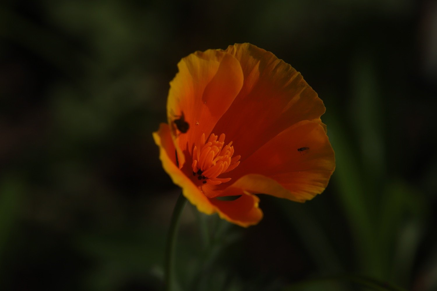
Flora and fauna encountered on the walk today includes :-
californian poppy
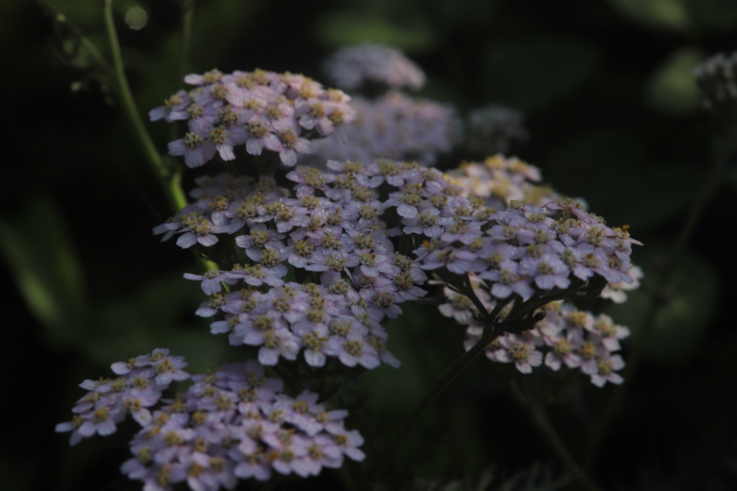
yarrow
echium
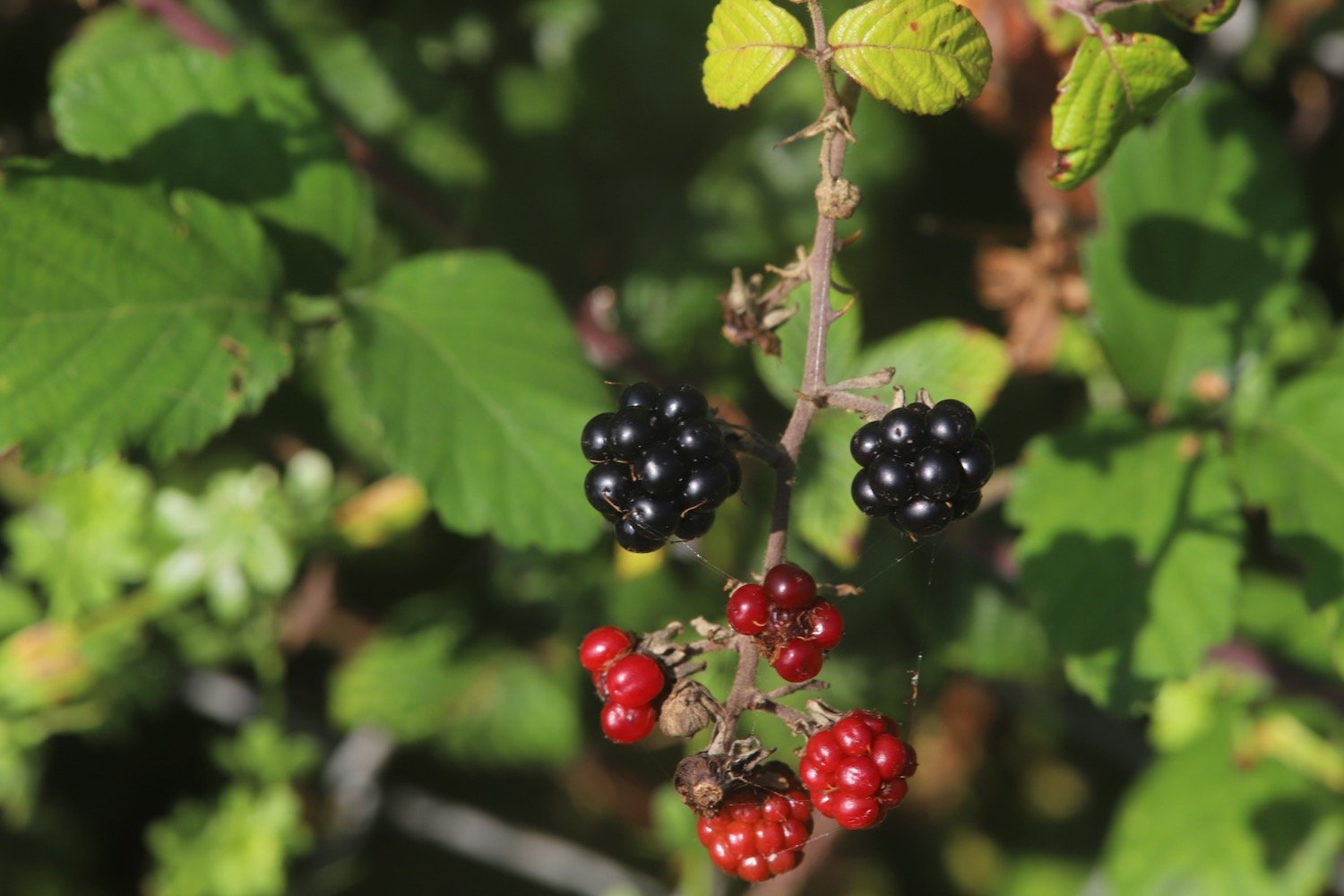
blackberry
roses
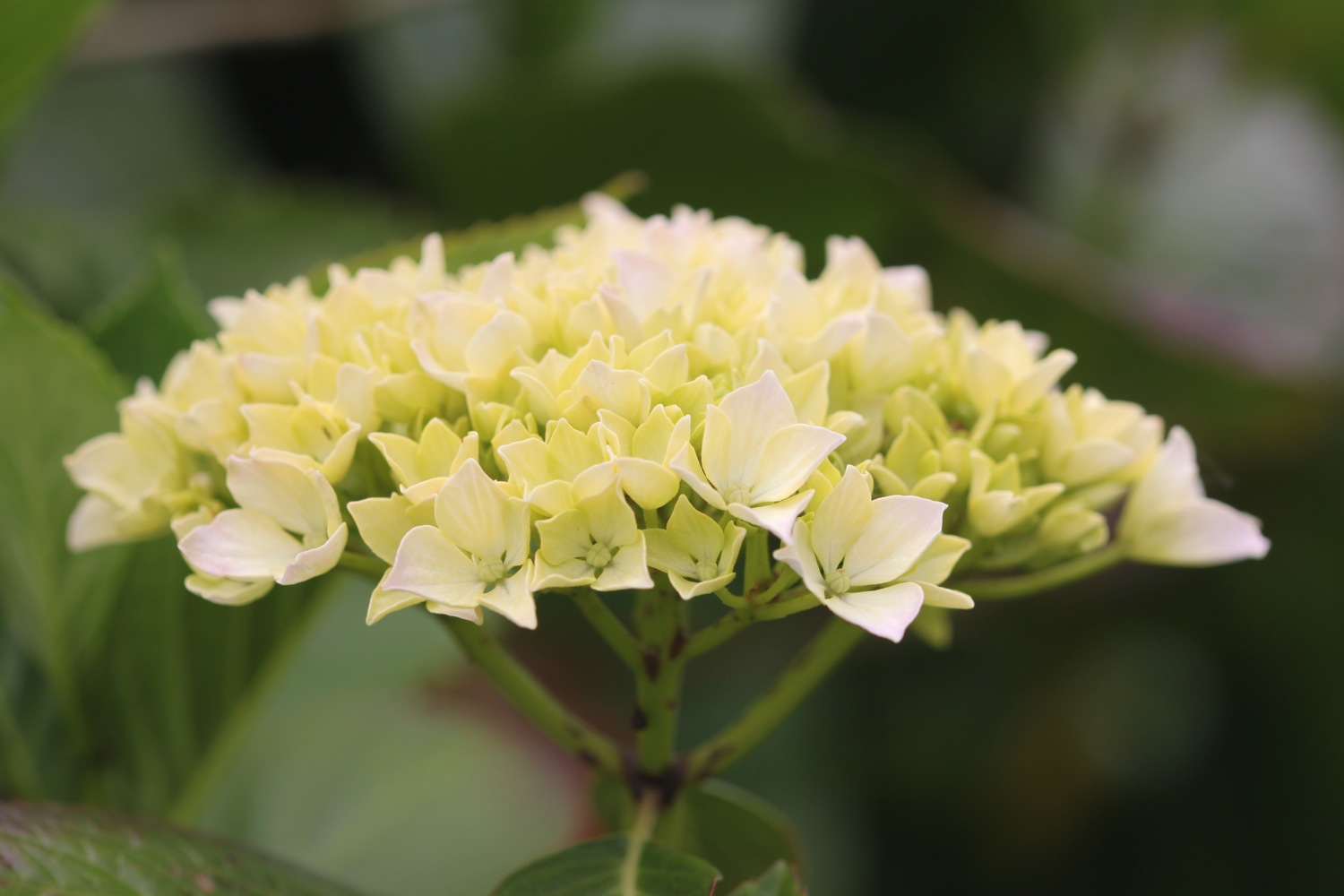
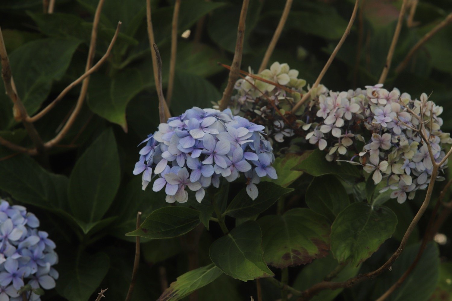
hydrangea
red admiral butterflies
speckled wood butterflies
fuchsia
herb robert
red campion
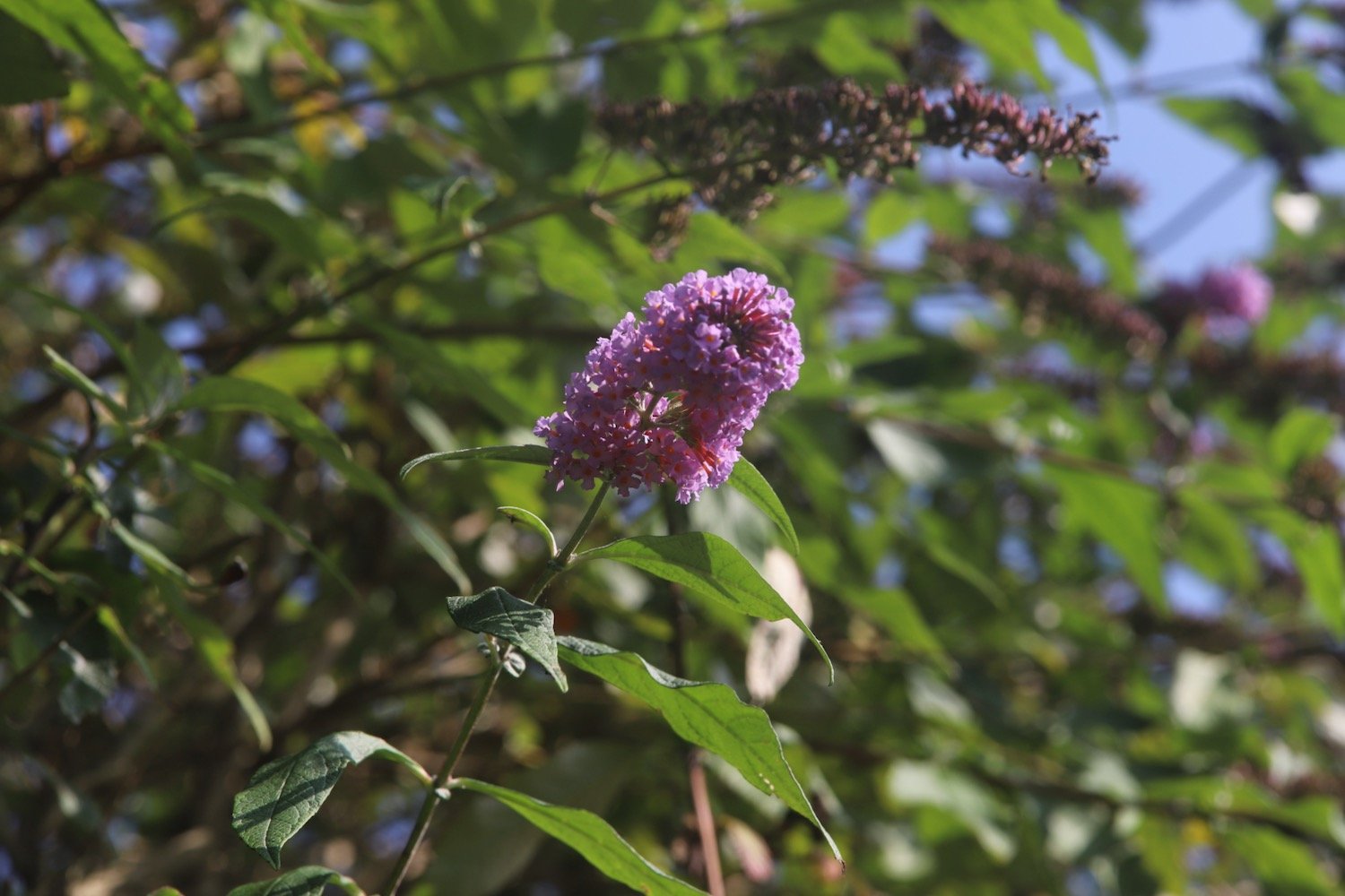
buddleia
ribwort plantain
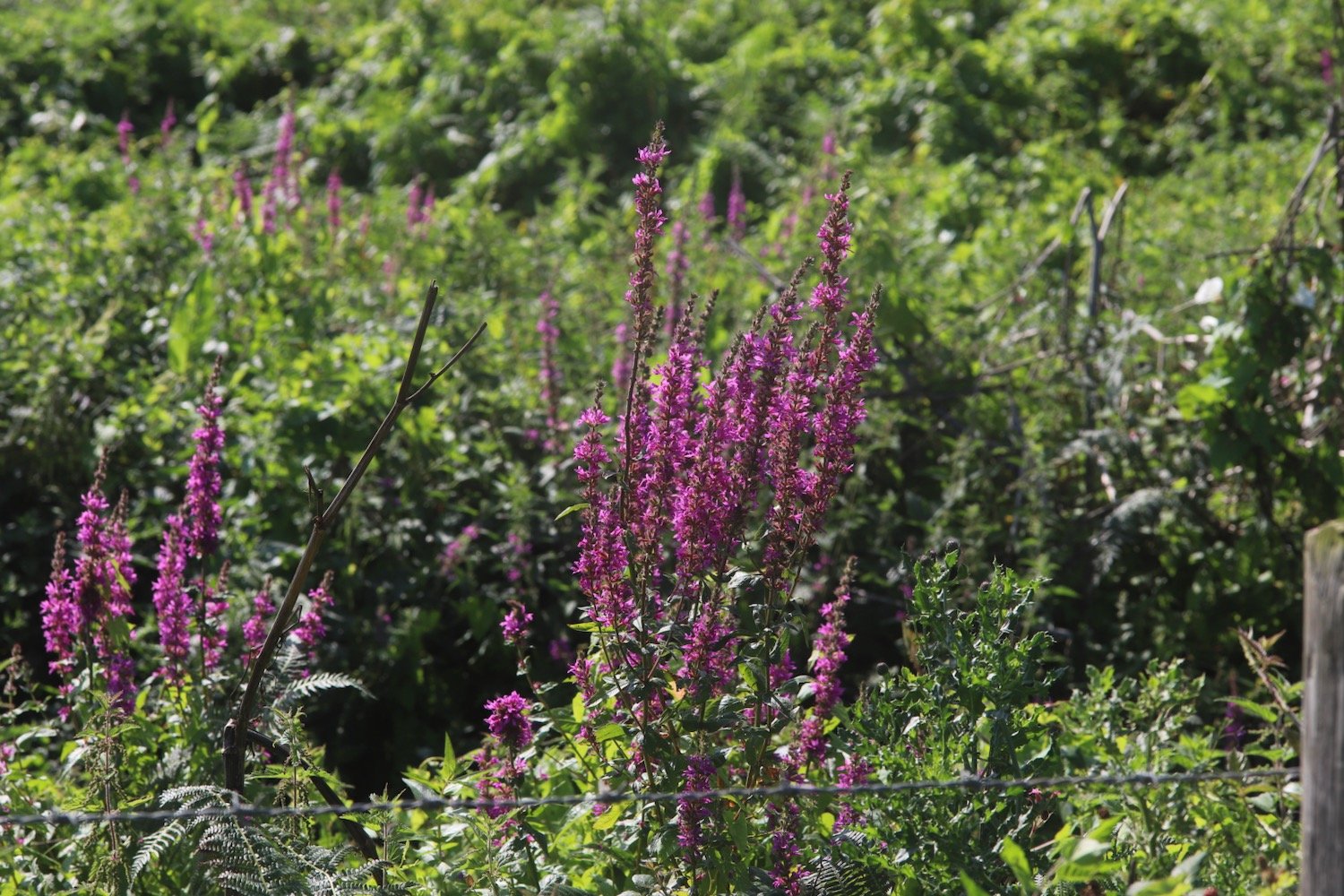
purple loosestrife
crocosmia
cyclamen
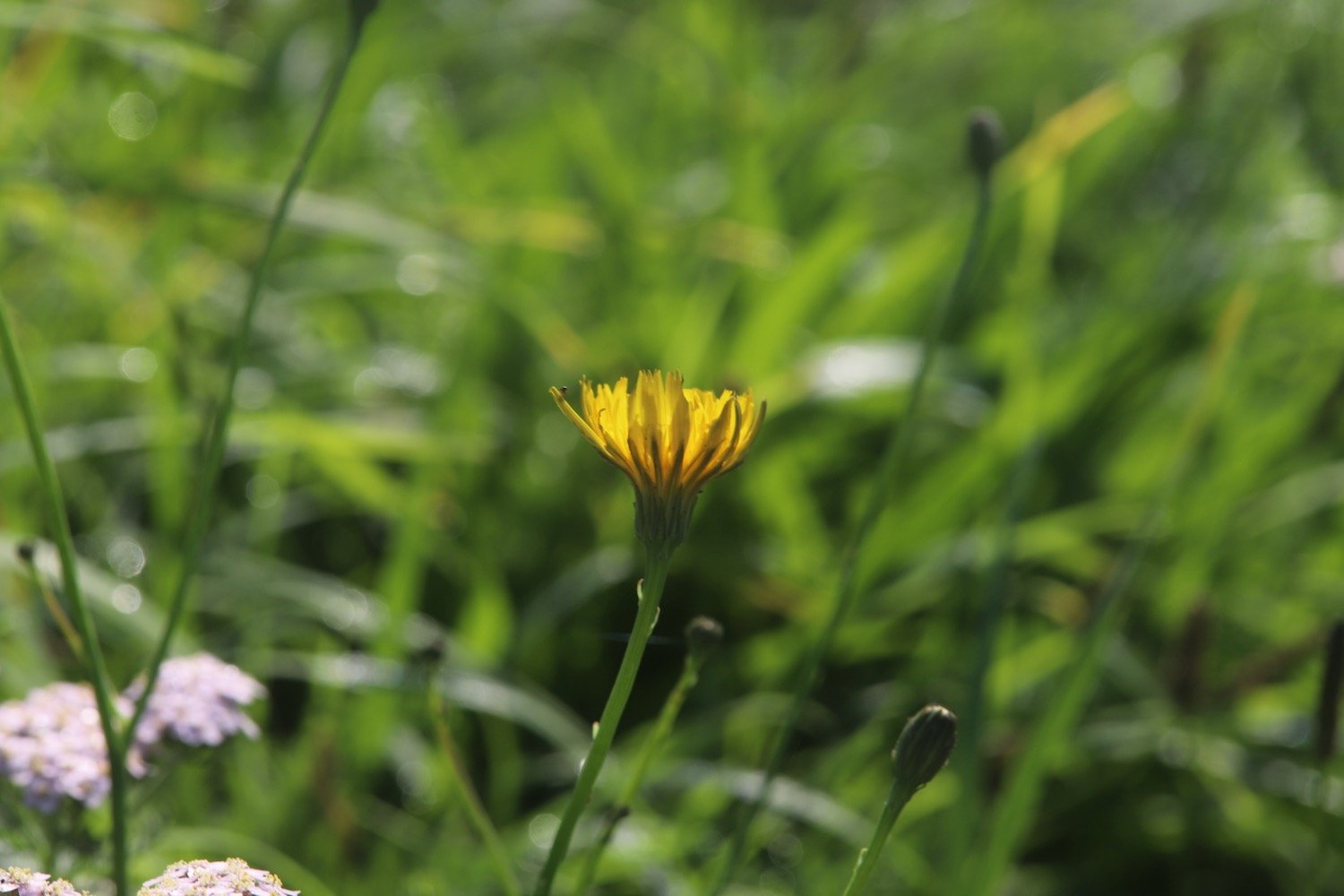
cat’s-ear
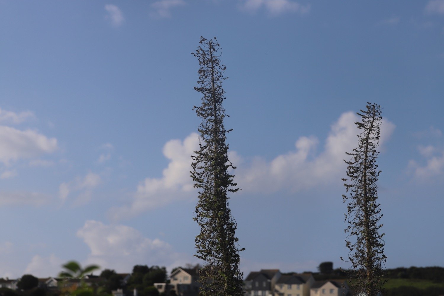
wild carrot
cormorant

PODCAST
The podcast of today's walk is now available. You can subscribe via Apple Podcasts or listen using the player below.

MARKS OUT OF TEN?
According to my phone I've walked 9.8 miles which amounts to 24724 steps. It has taken me four and three quarter hours. The weather has been magnificent but the latter half of the walk has been painful trying to walk on my injured foot. Eight out of ten!
WALK DETAILS
MAP
mevagissey
st austell bay
porthpean
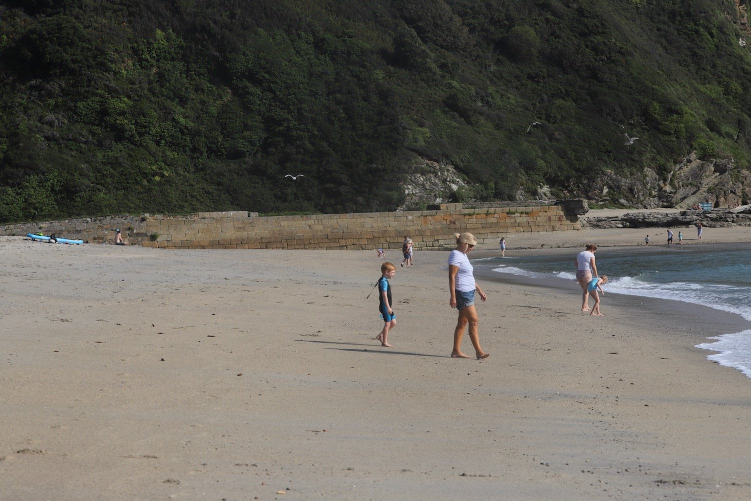
beach collection