charlestown to par sands
south west coast path
tuesday, 5th september 2023
Start location: Charlestown (SX 03779 51676)
End point: Par Sands (SX 08682 53048)
Map: Explorer 107
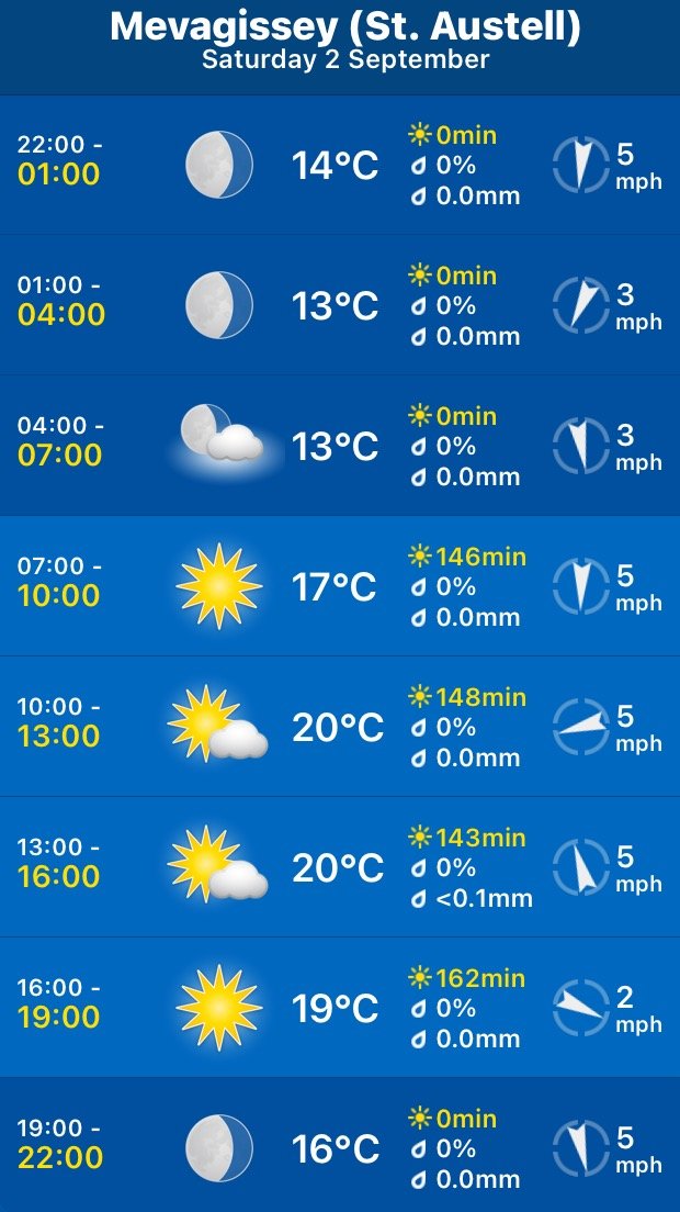
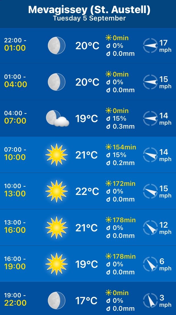
It looks like I'll be in for another day of beautiful weather with sun forecast for all day long. The temperatures look they are going to be on the high side with not much in the way of wind so walking could be a bit on the sweaty side.
Par Sands high tide 10:00
Par Sands low tide 16:13

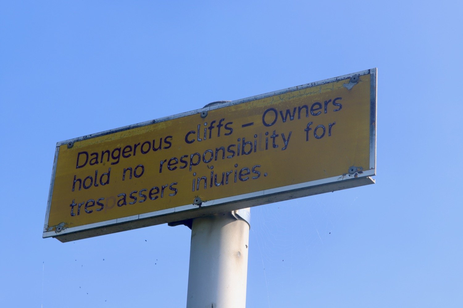
I haven’t been able to put any weight on my right foot for a couple of days after injuring it on the walk on Saturday so walking today is going to be a bit tentative so I’ve changed my plans and I’m going to be walking much shorter walks for the rest of the week.
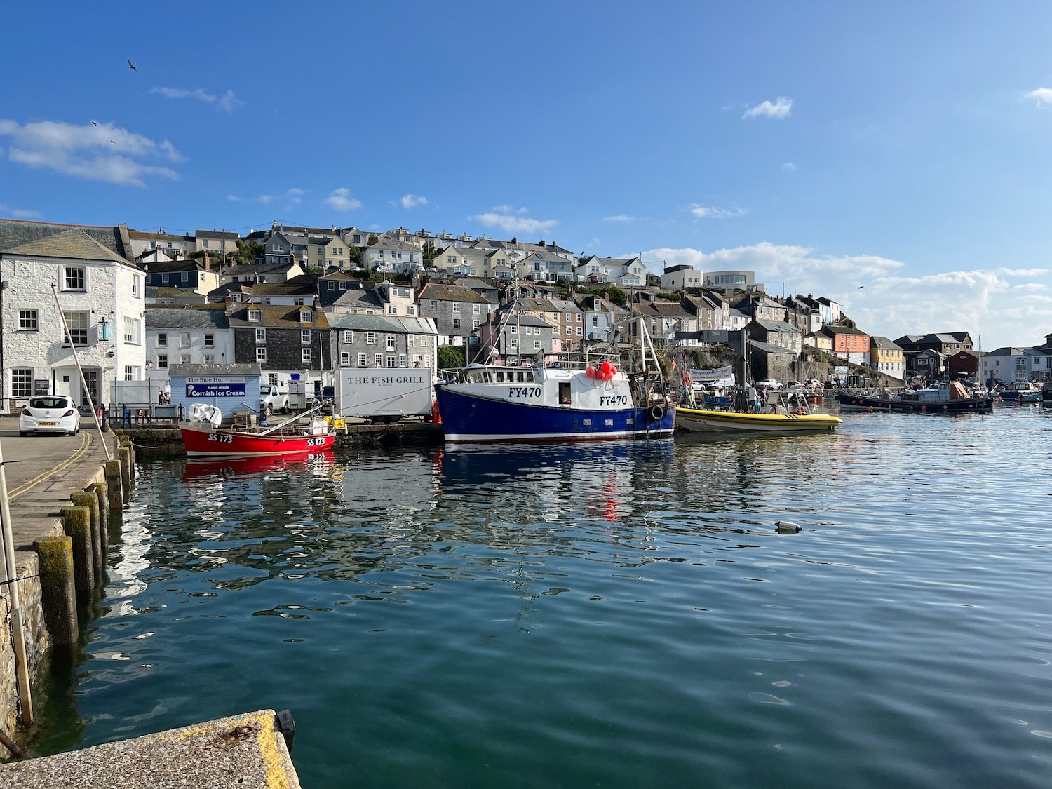
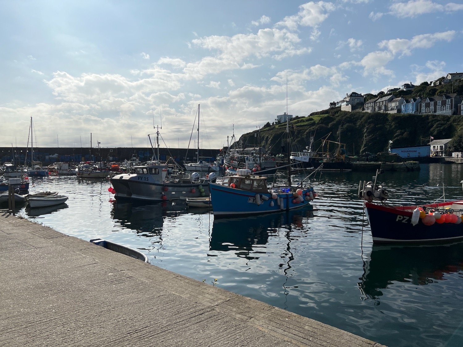
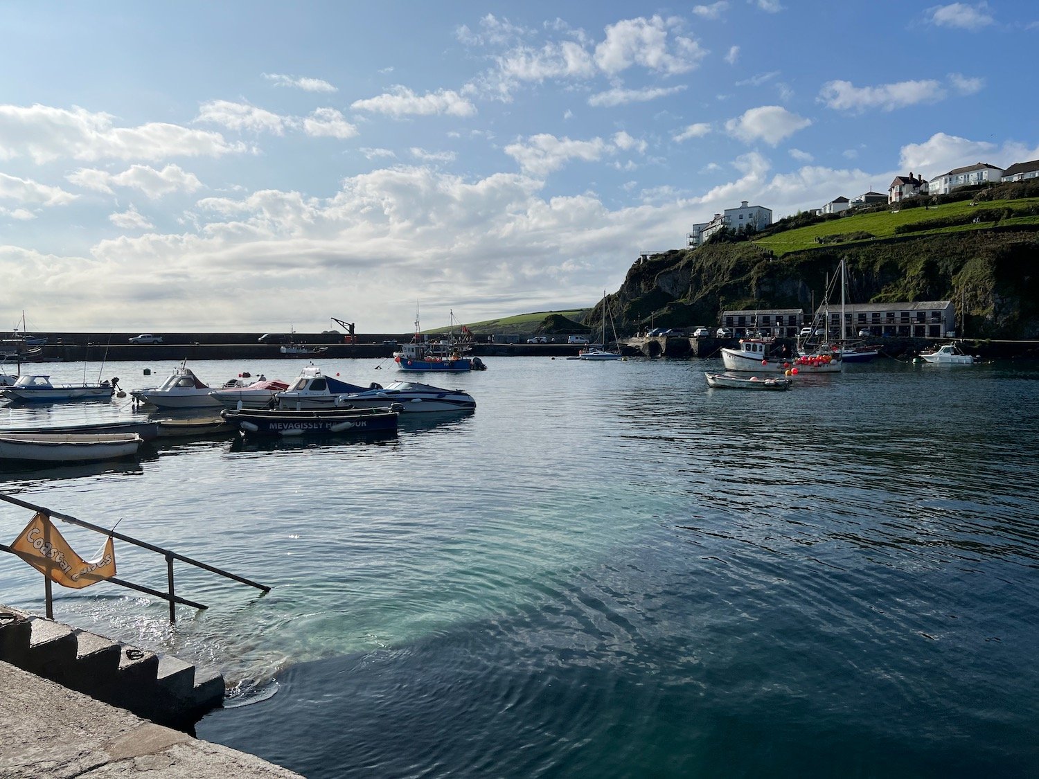
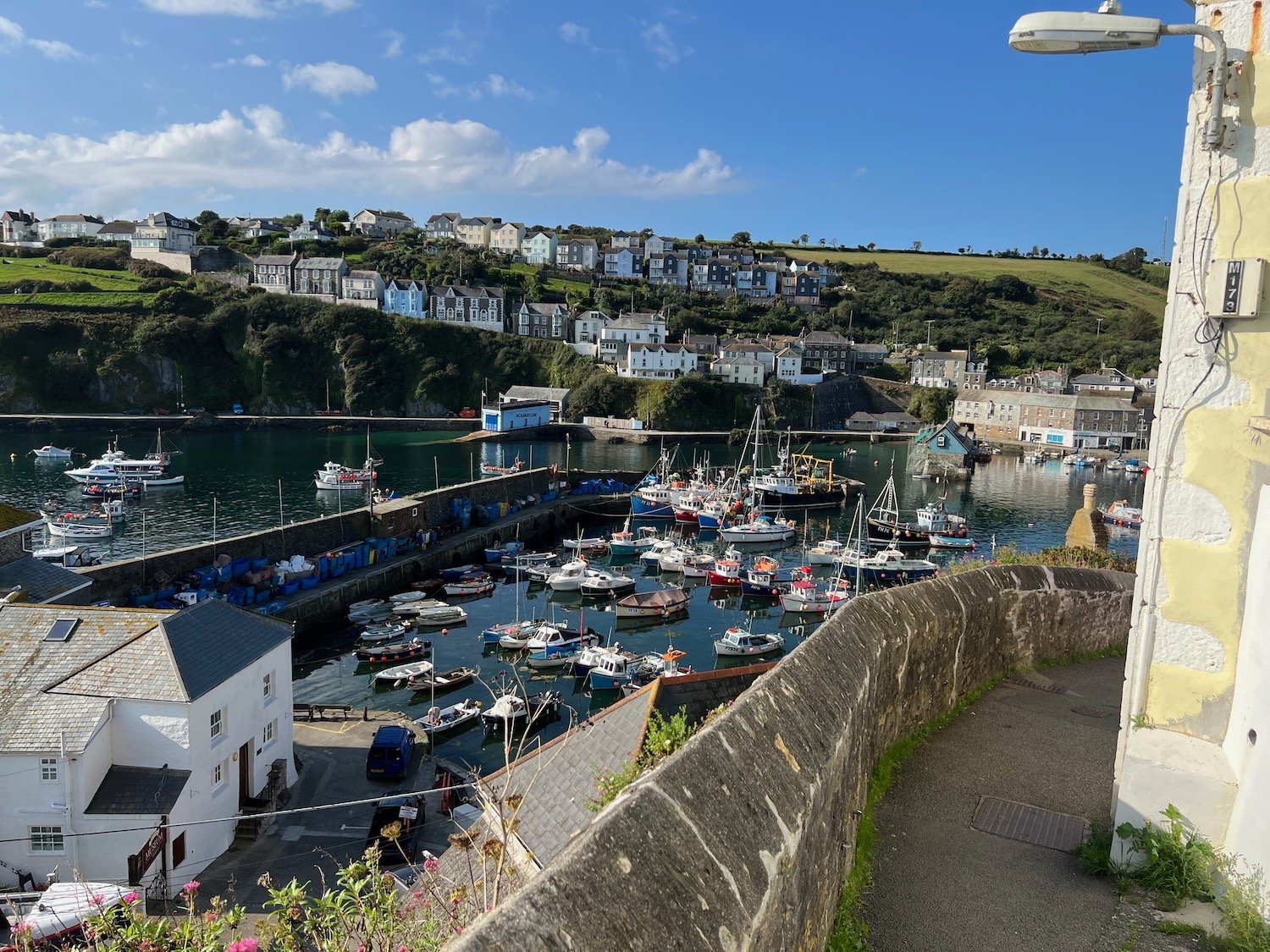
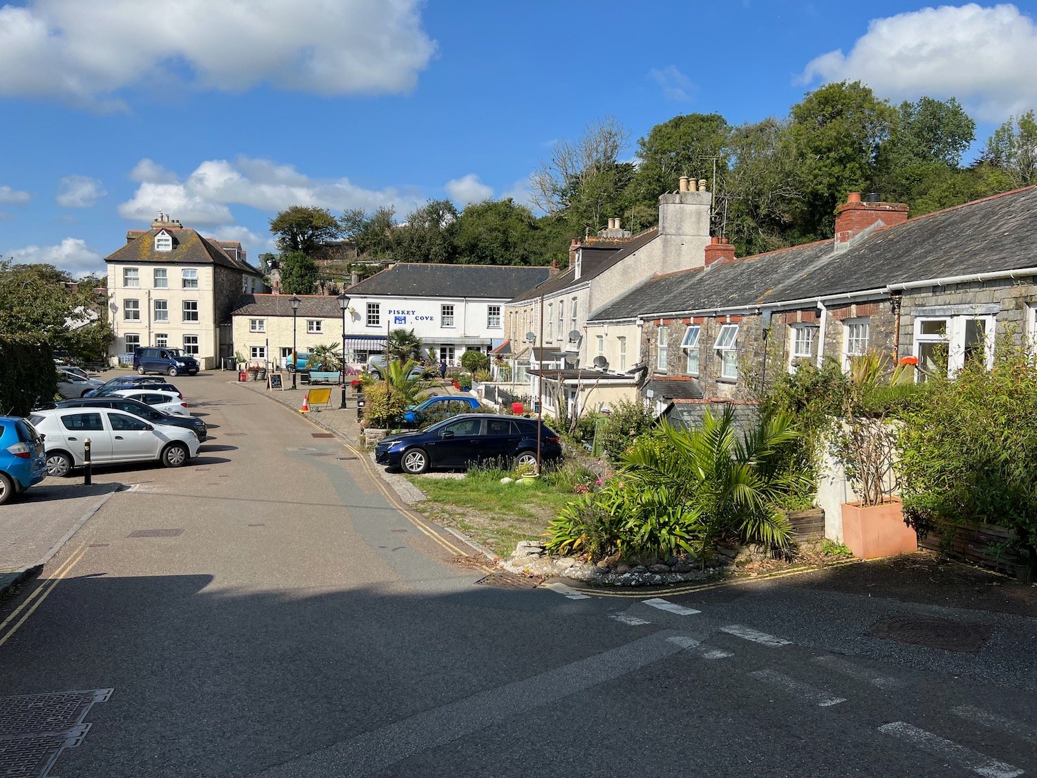
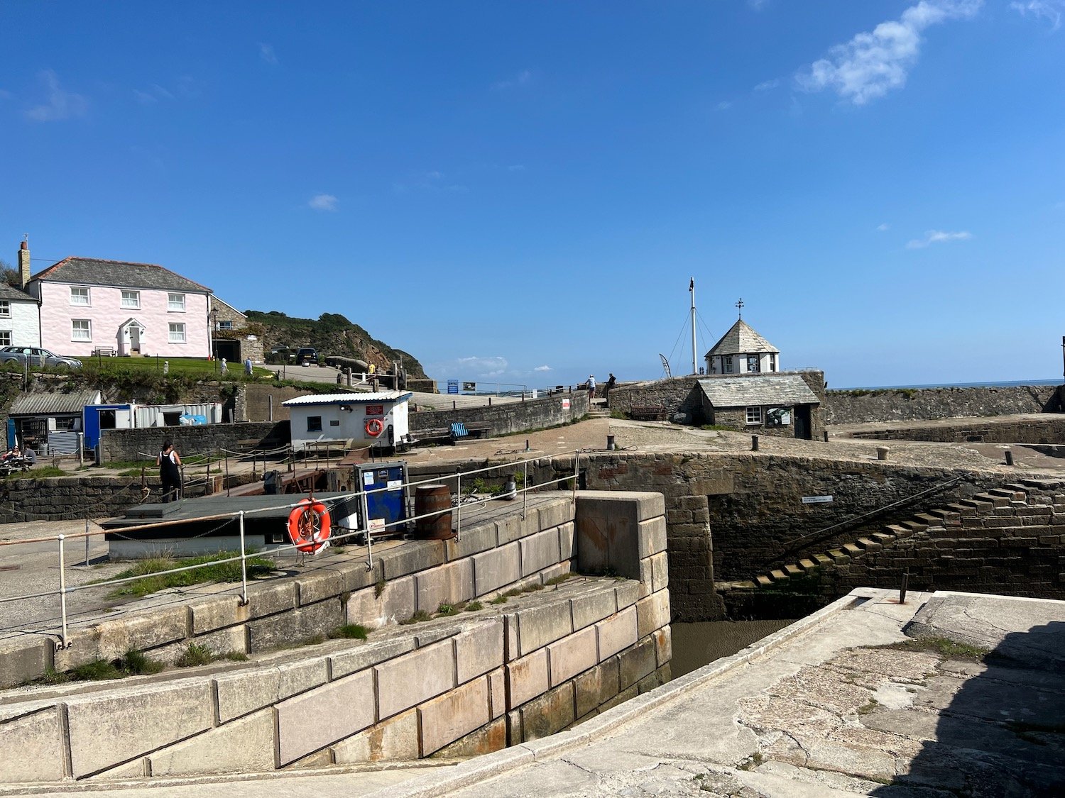
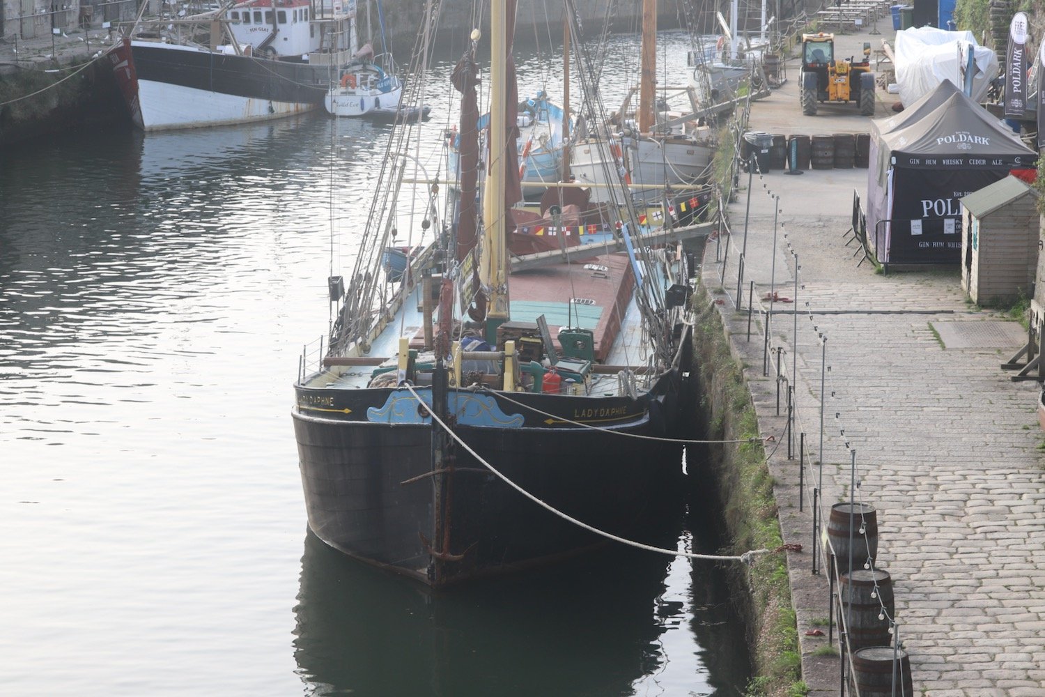
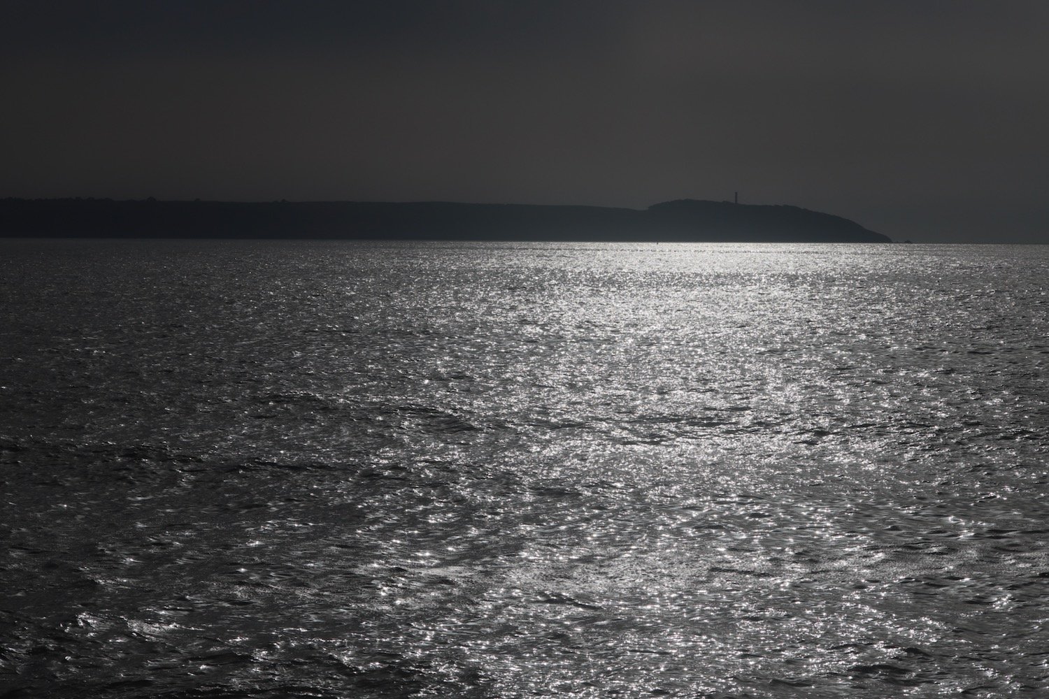
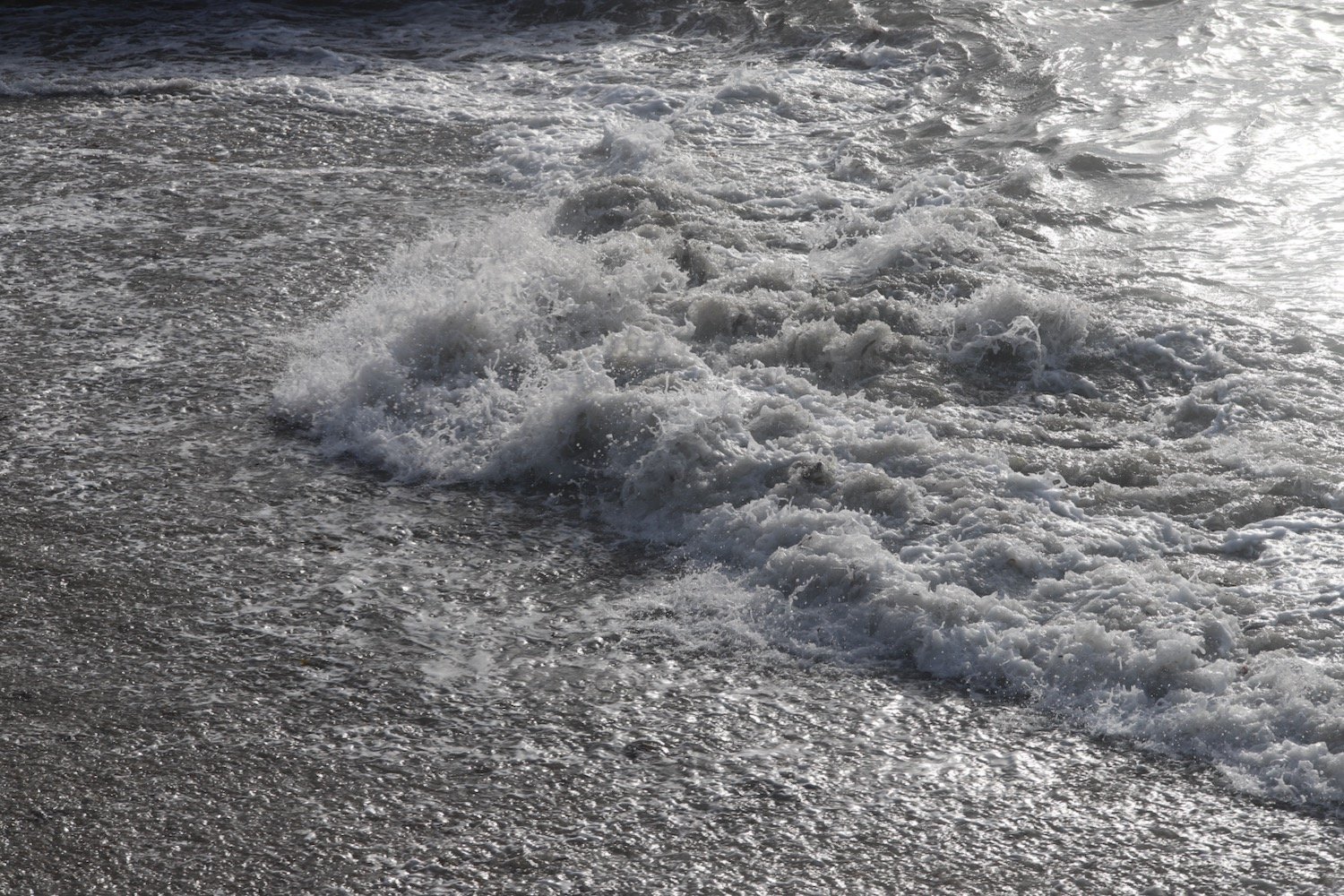
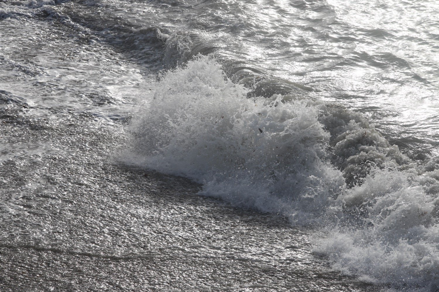
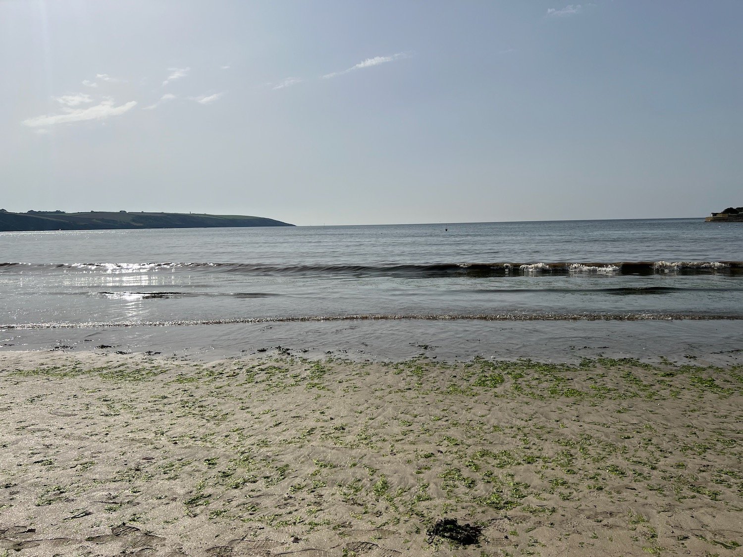
I start the day back in Charlestown where the sand and pebble beach here sits just outside the harbour and where I enjoy the the early morning sun before setting off.
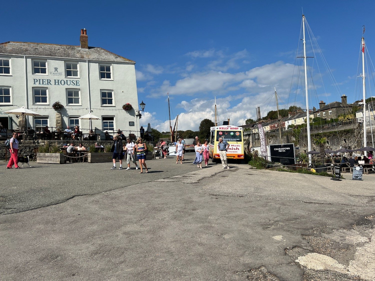
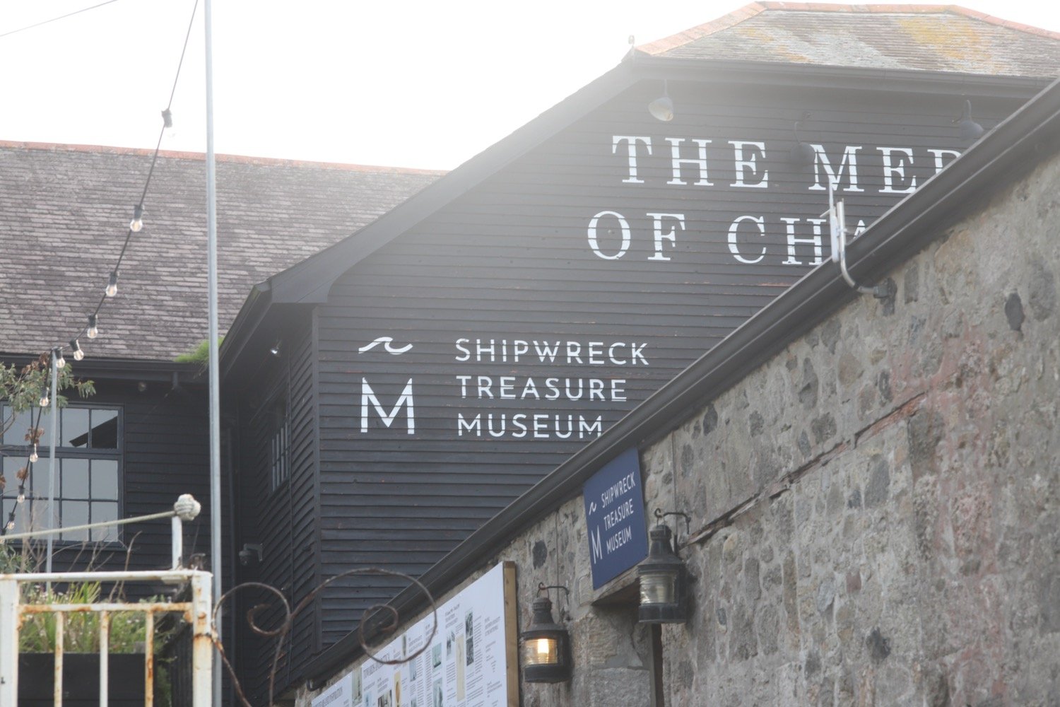
I pass by the Pier House Hotel and Restaurant before rounding the harbour. The Charlestown Shipwreck and Heritage Centre is found at the head of the harbour.
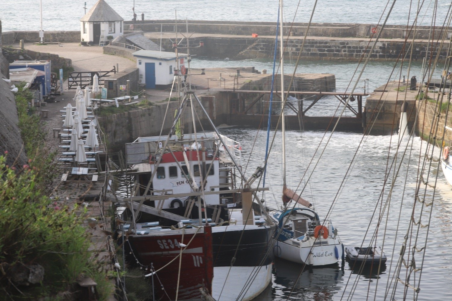
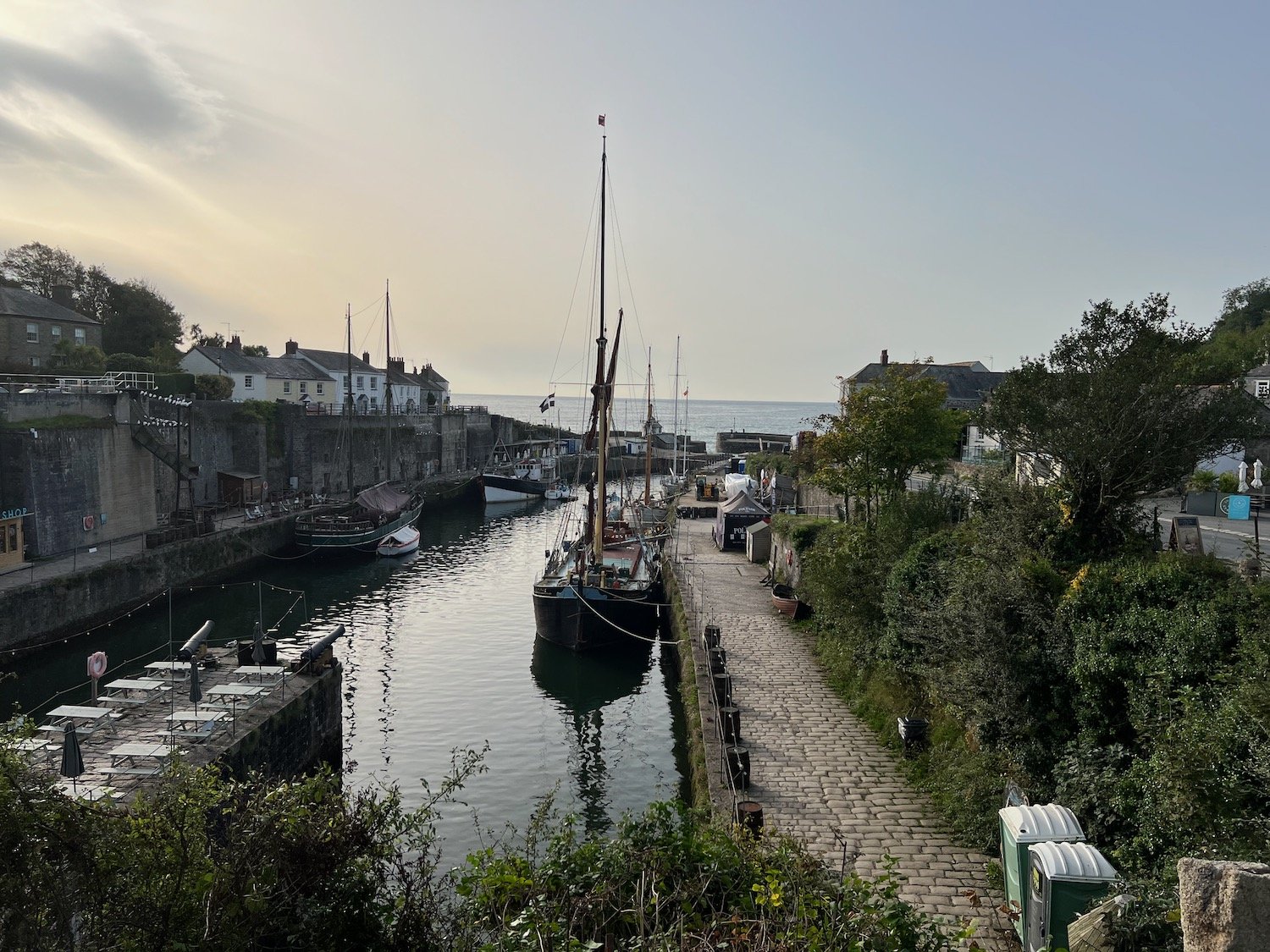
I drop down and enjoy the grey beach next to the harbour before regaining the coast path.
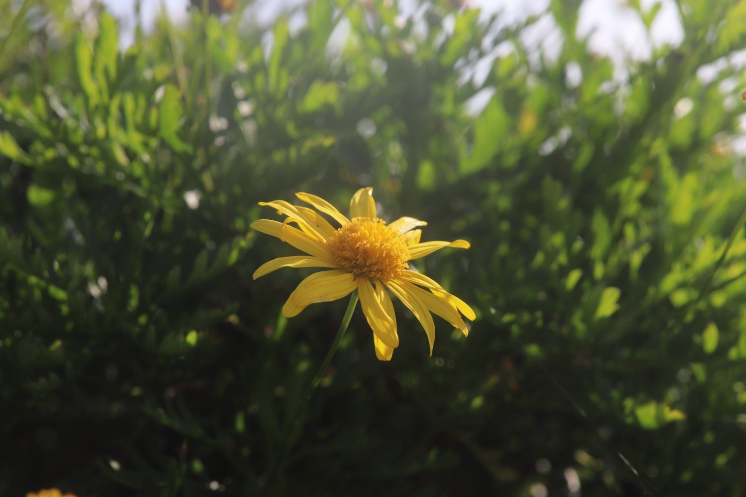
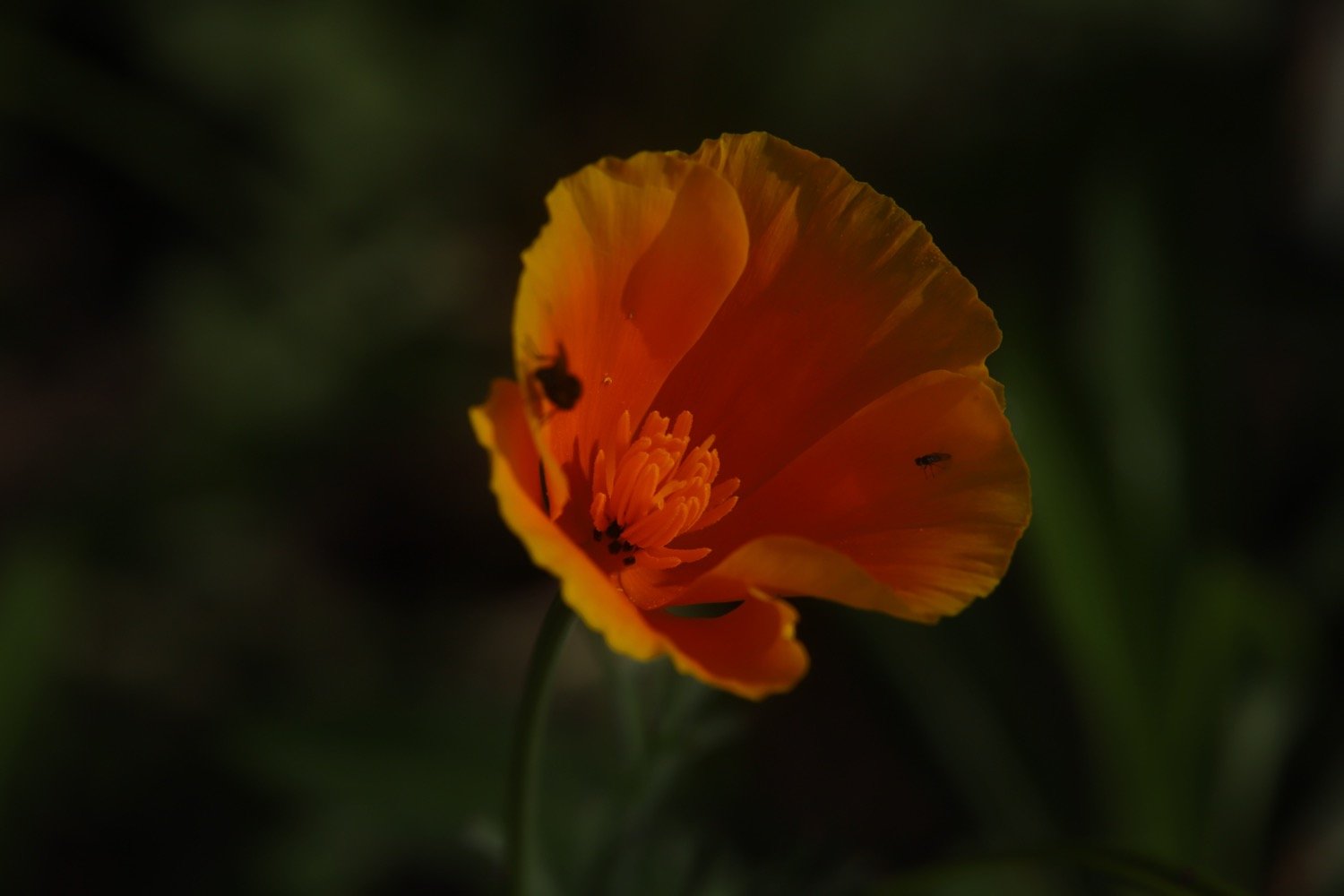
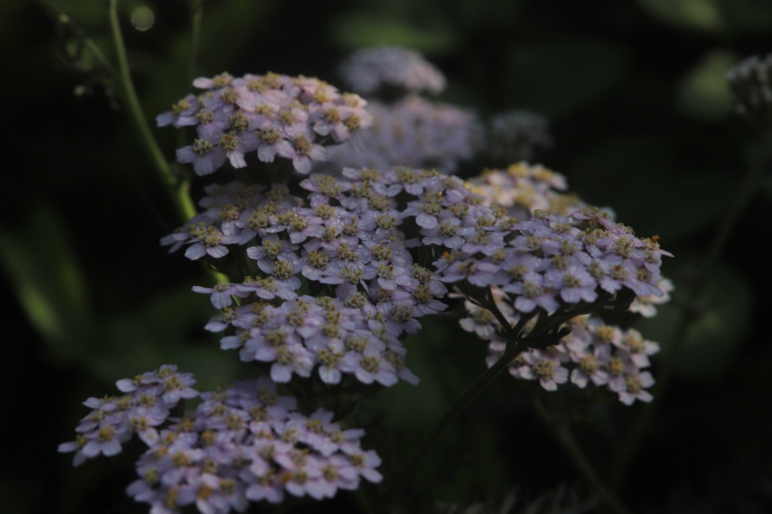
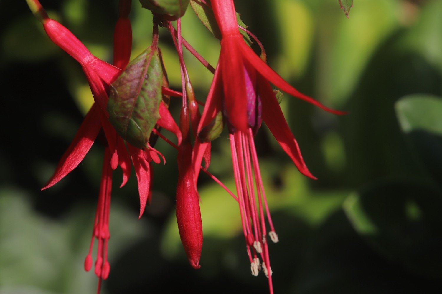
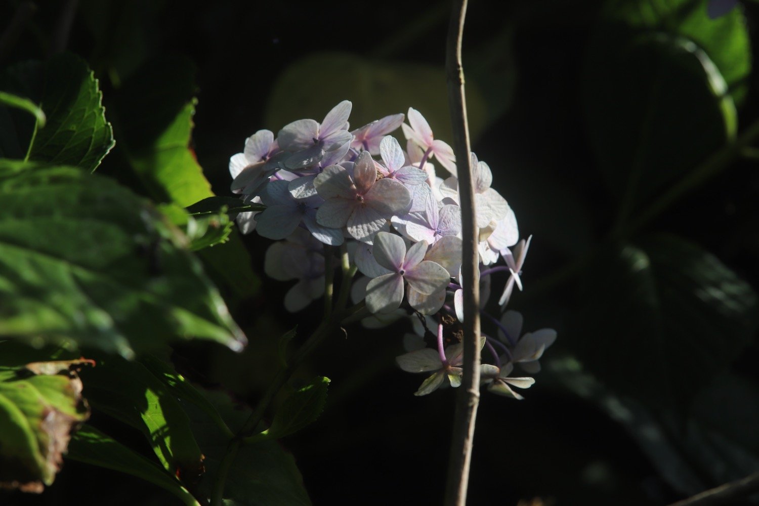
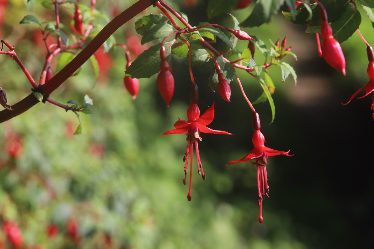
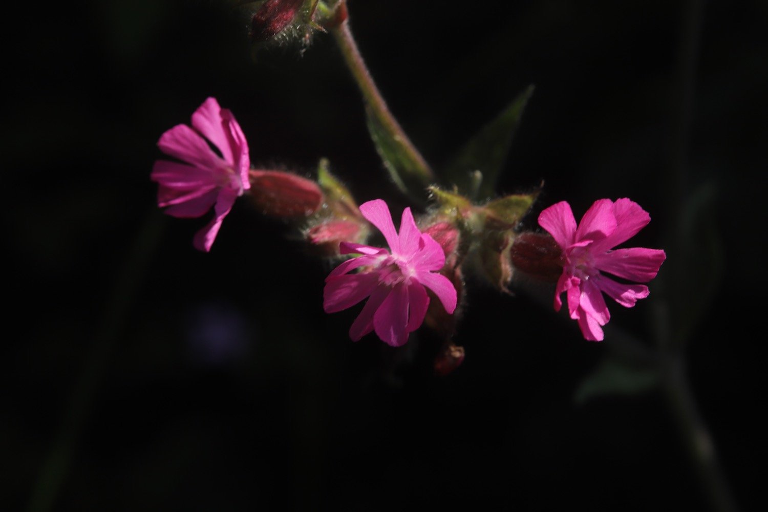
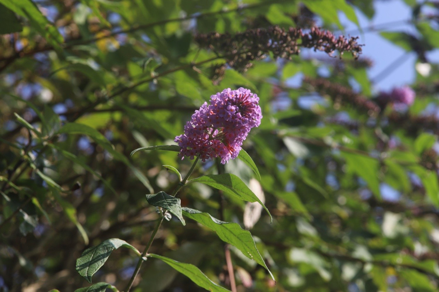
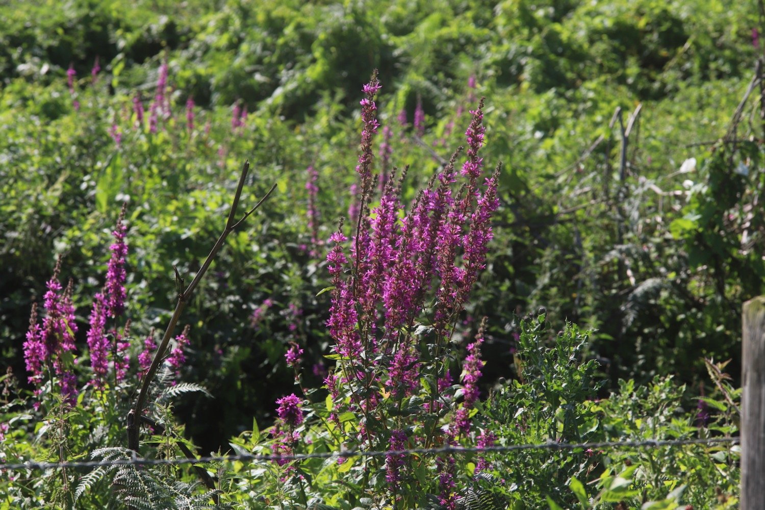
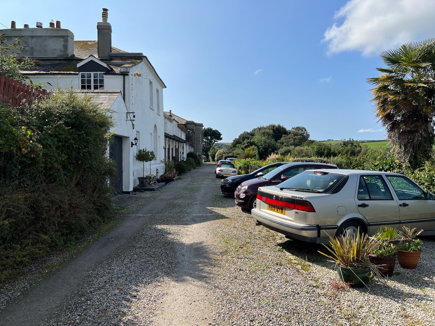
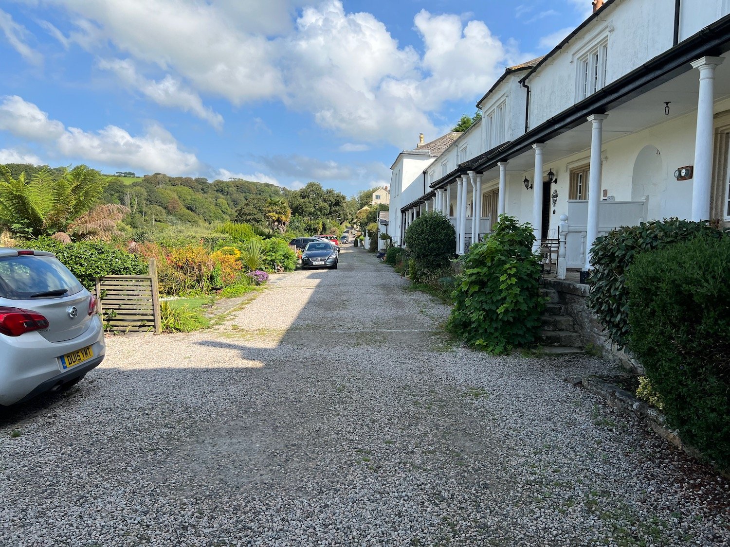
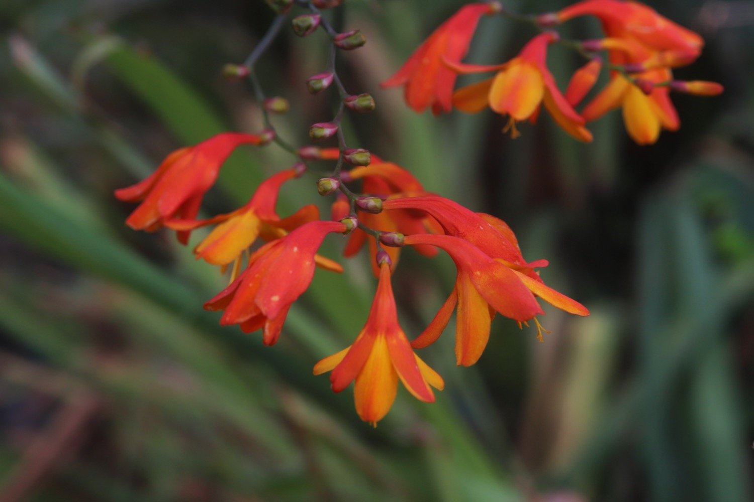
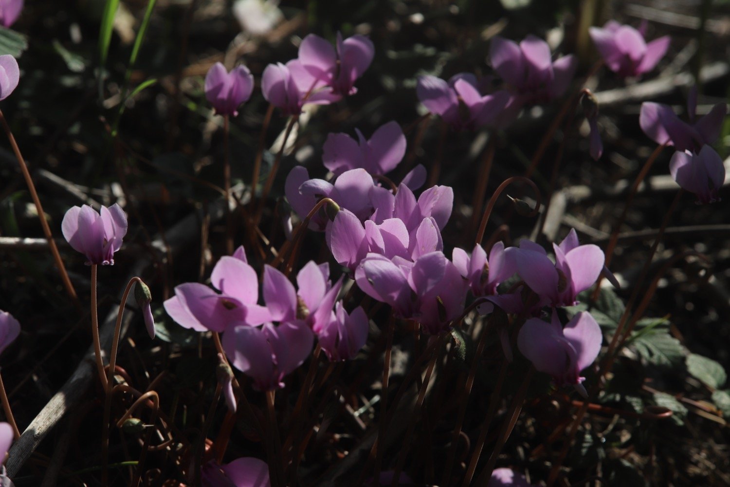
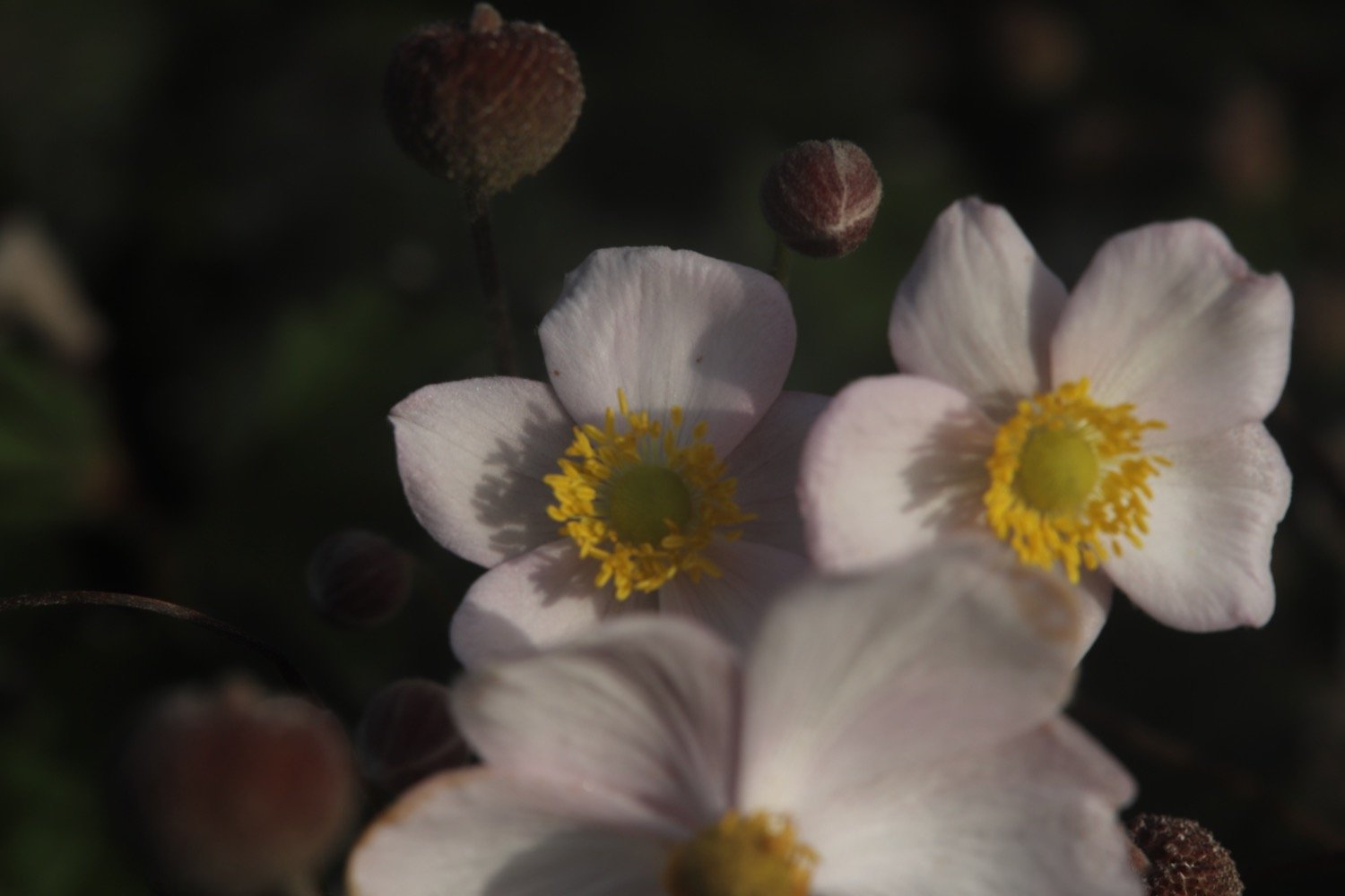
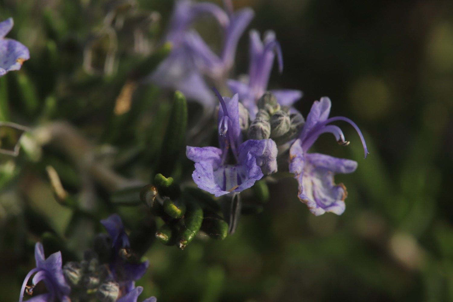
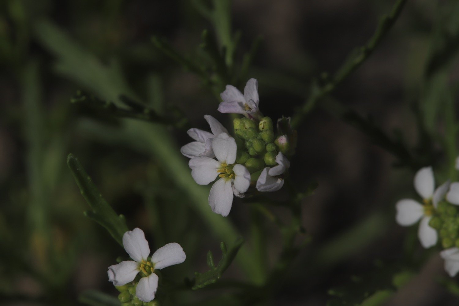
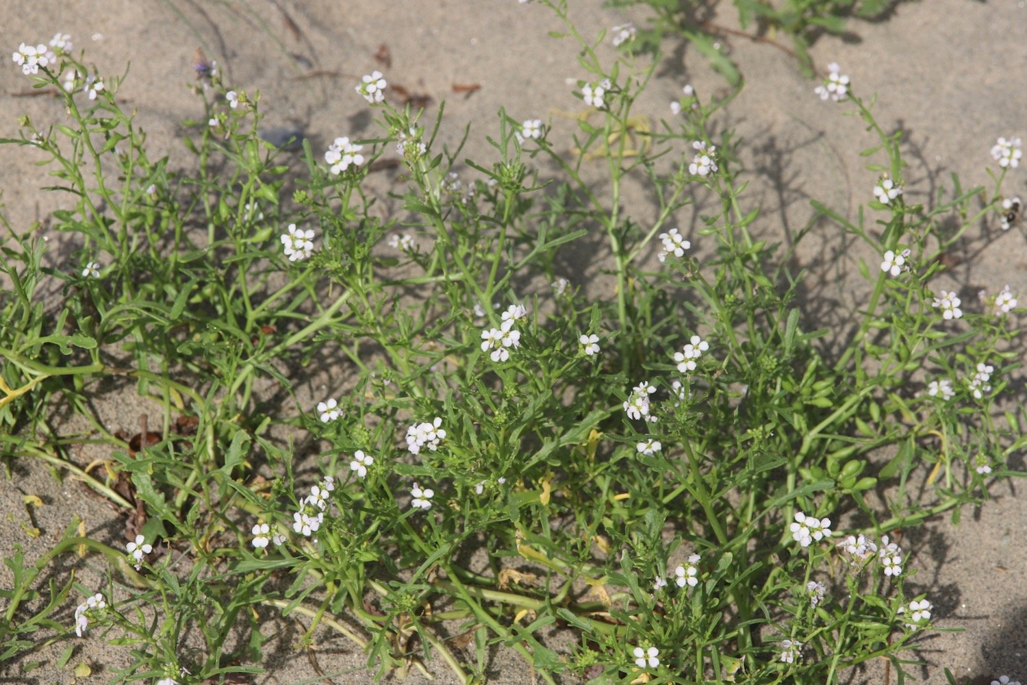
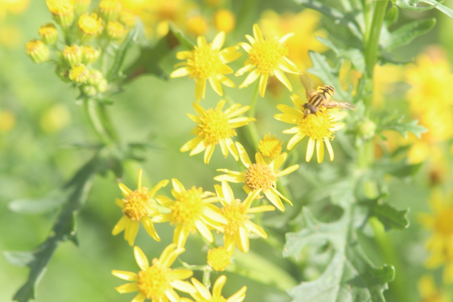
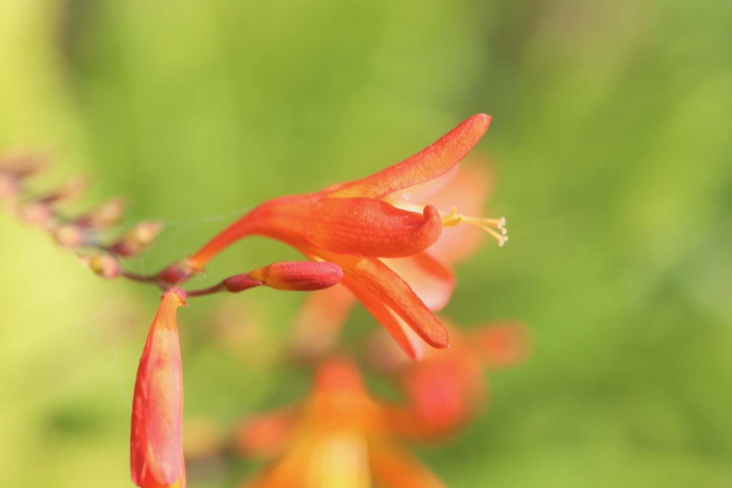
I regain the cliffs and pass in front of Porth Avallen Hotel, photographing the flowers as I amble along.

porth avallen hotel
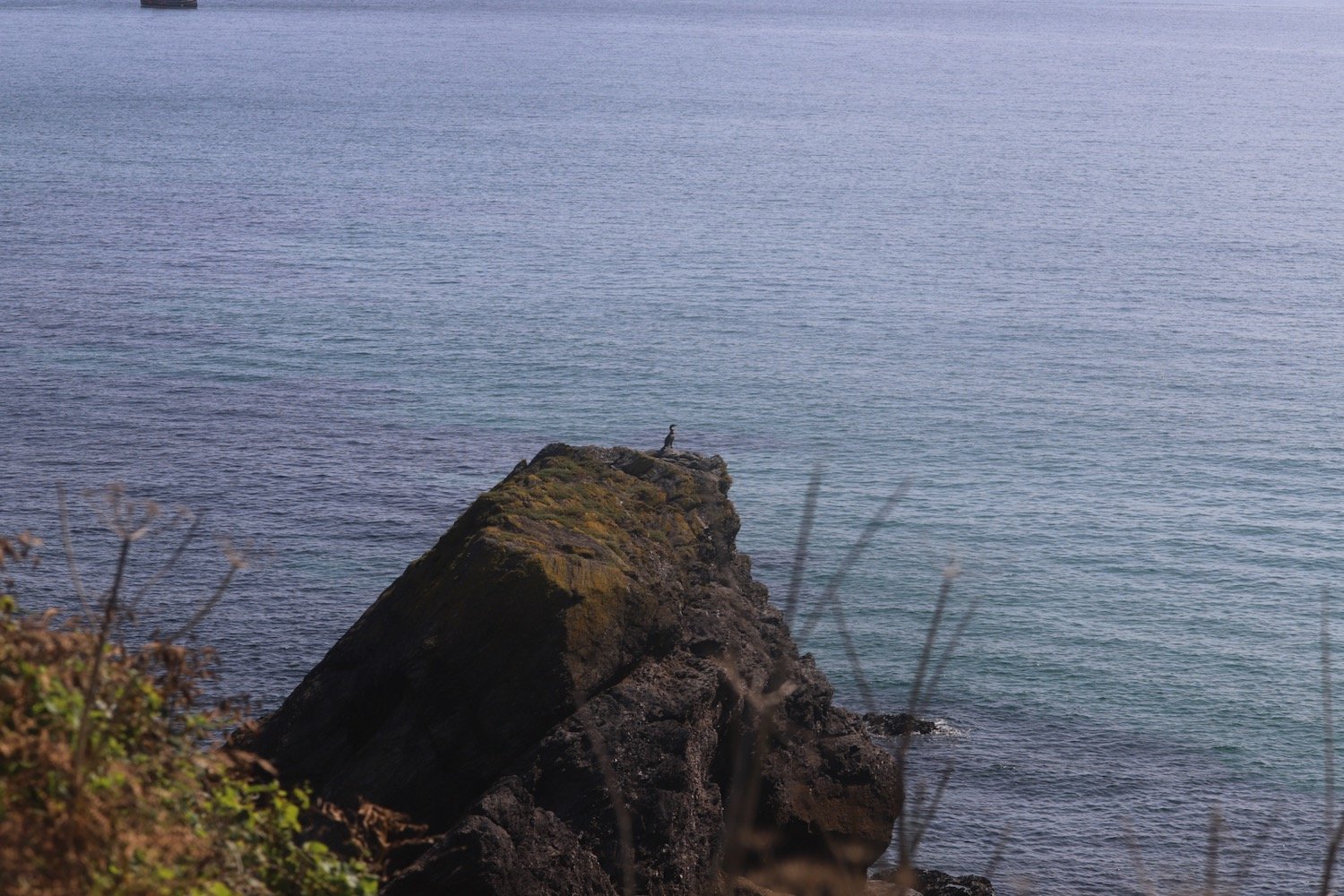
I pass above Charlestown National Coastwatch Station.
charlestown national coastwatch station
charlestown national coastwatch station
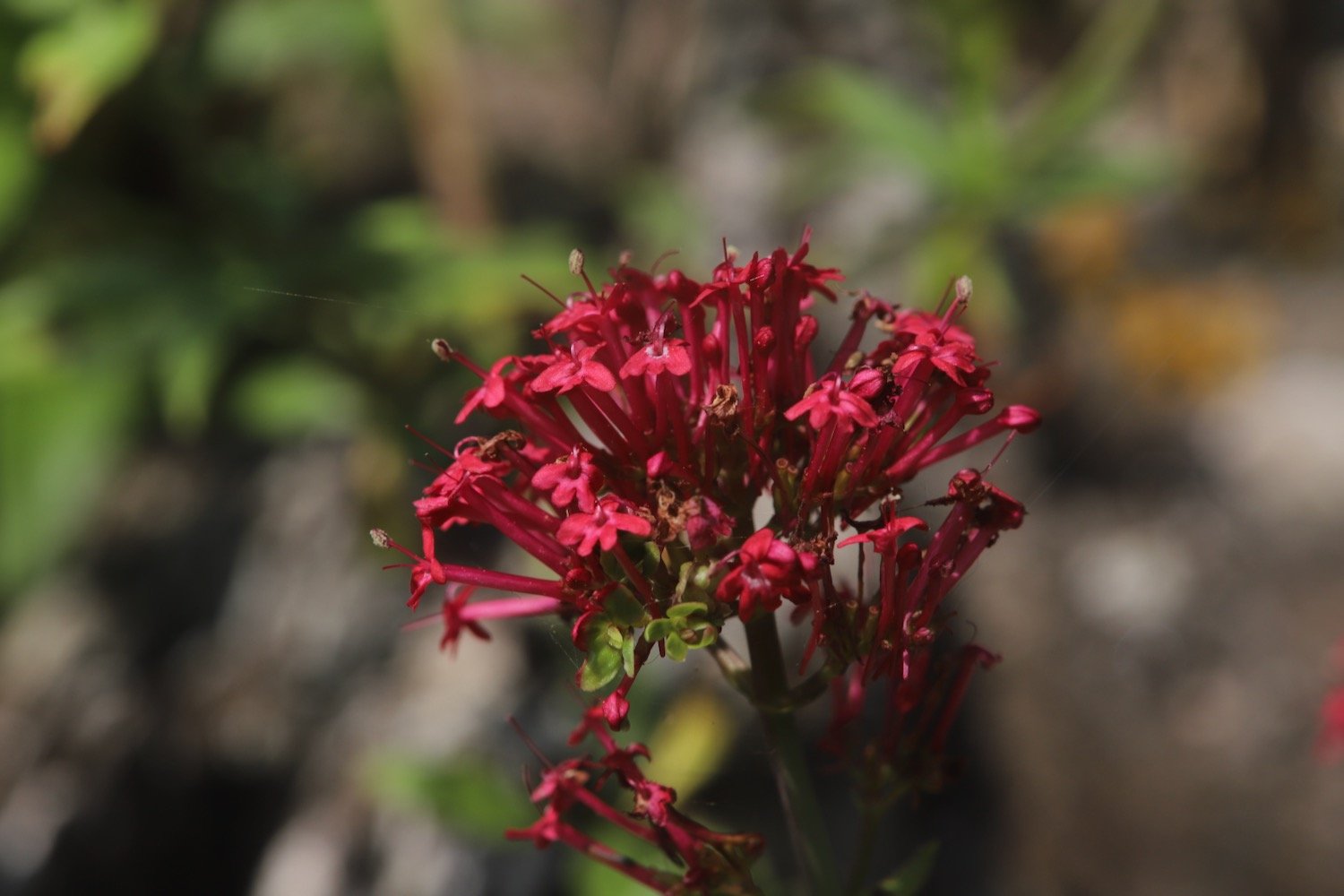
The path continues in front of Carlyon Bay Hotel and I come across loads of red admiral butterflies. I continue to photograph the flowers around here.
carlyon bay hotel
red admiral
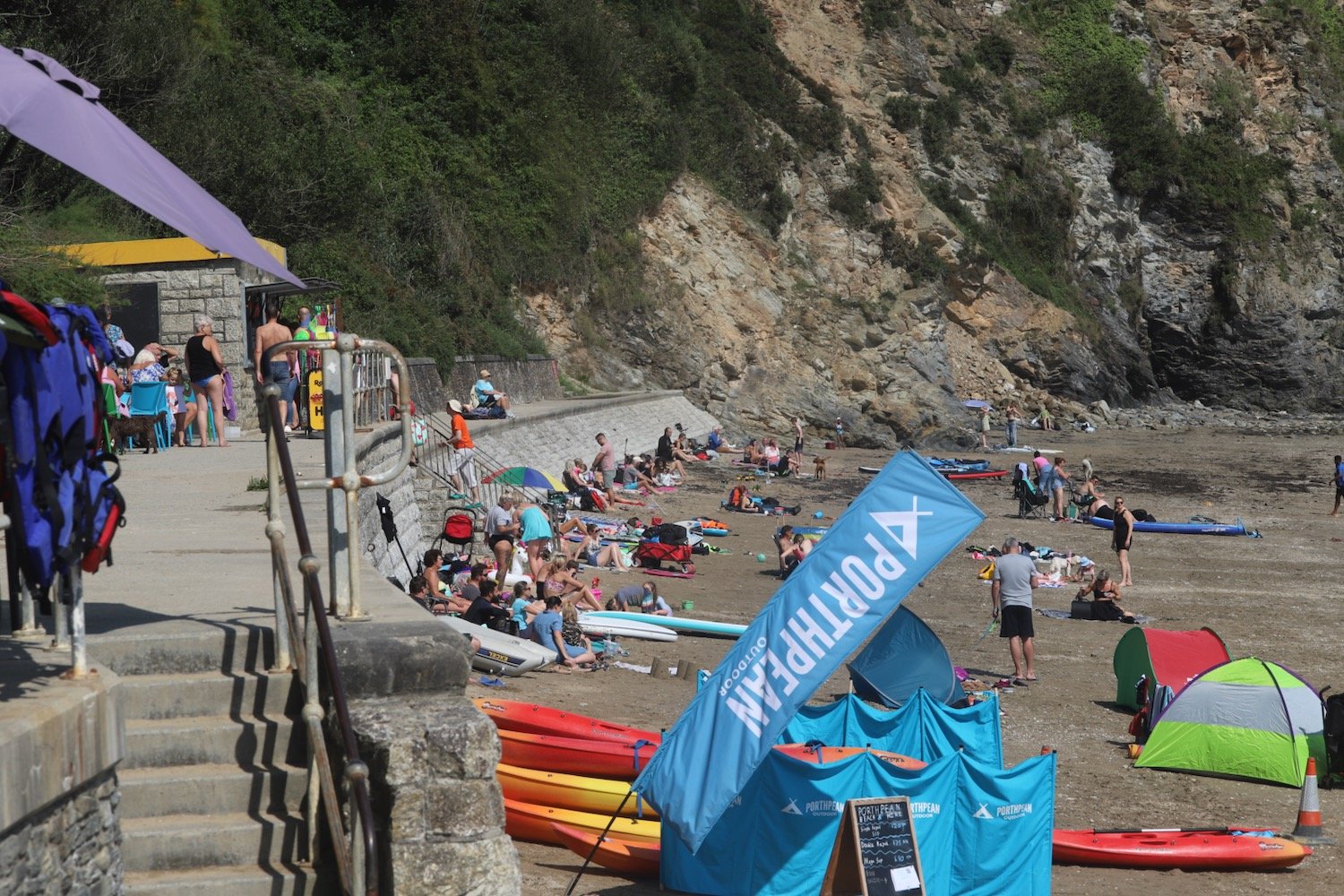
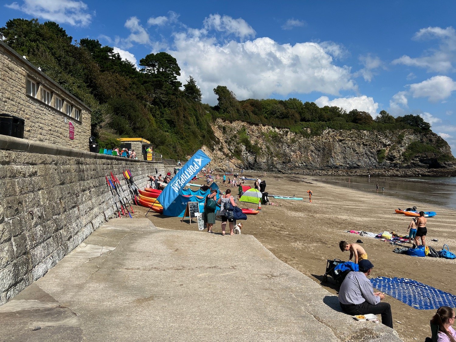
I descend down 80 or so concrete steps to reach Carlyon Bay Beach.
Carlyon Bay consists of three beaches, Crinnis, Polgaver and Shorthorn, and once upon a time it was lovely around here but on my previous visits had turned into an eyesore with the Cornwall Coliseum at the top of Crinnis Beach gradually falling into disrepair. The Coliseum was finally demolished in the Spring of 2015.
There are still mixed opinions about this beach but despite there still being some remnants of the coliseum and a pretty odd security presence, I rather like it around here especially this early in the morning when there’s hardly anyone about.
rubble

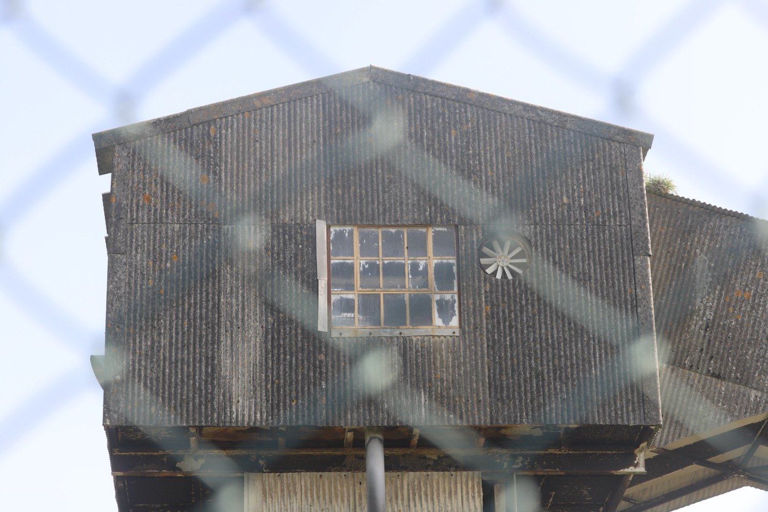
security prescence
The sandy beach is around two miles long. Actually, it’s not sand, it’s made up of something called ‘Stent’ which is a waste material from the china clay and tin mining activities.
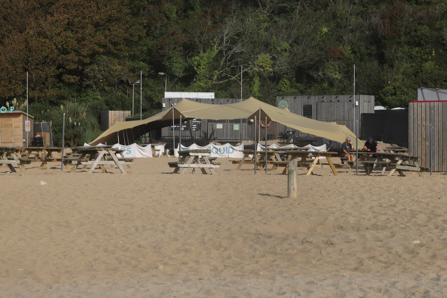
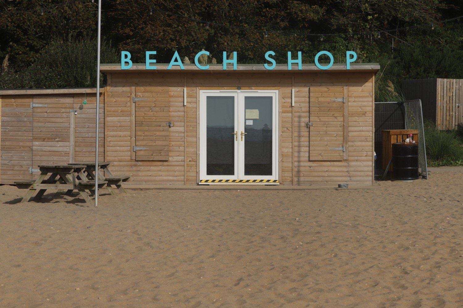
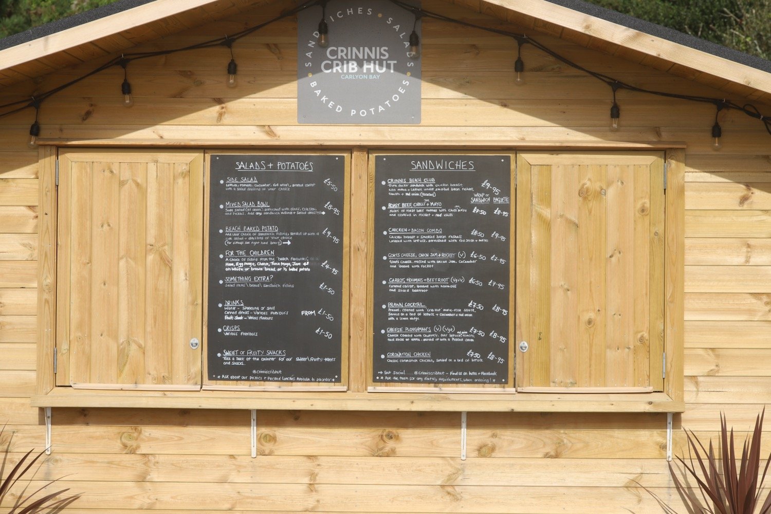
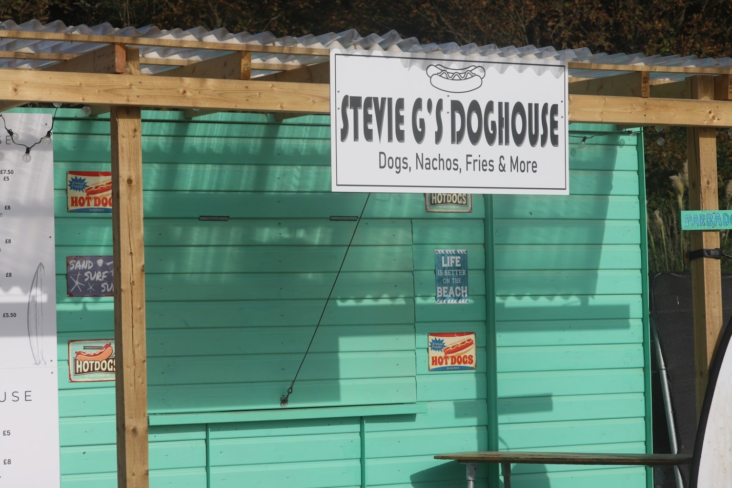
There's a number of pop up shops - although they look more permanent nowadays - on the beach which are quiet this early but I expect will be heaving later.
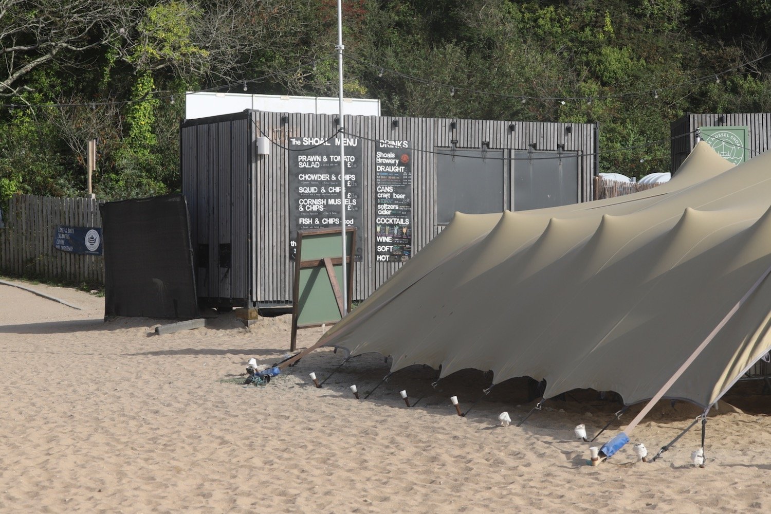
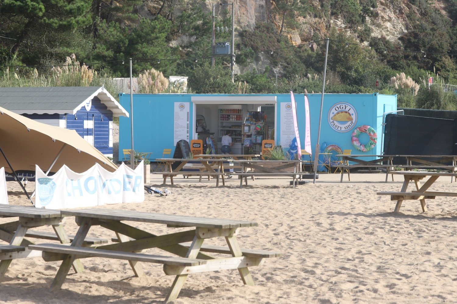
I don’t think there is an exit point at the far end of the beach so I head back up the concrete steps to rejoin the coast path where it continues alongside the Carlyon Bay Golf Course and towards a disused china clay works at Spit Point.
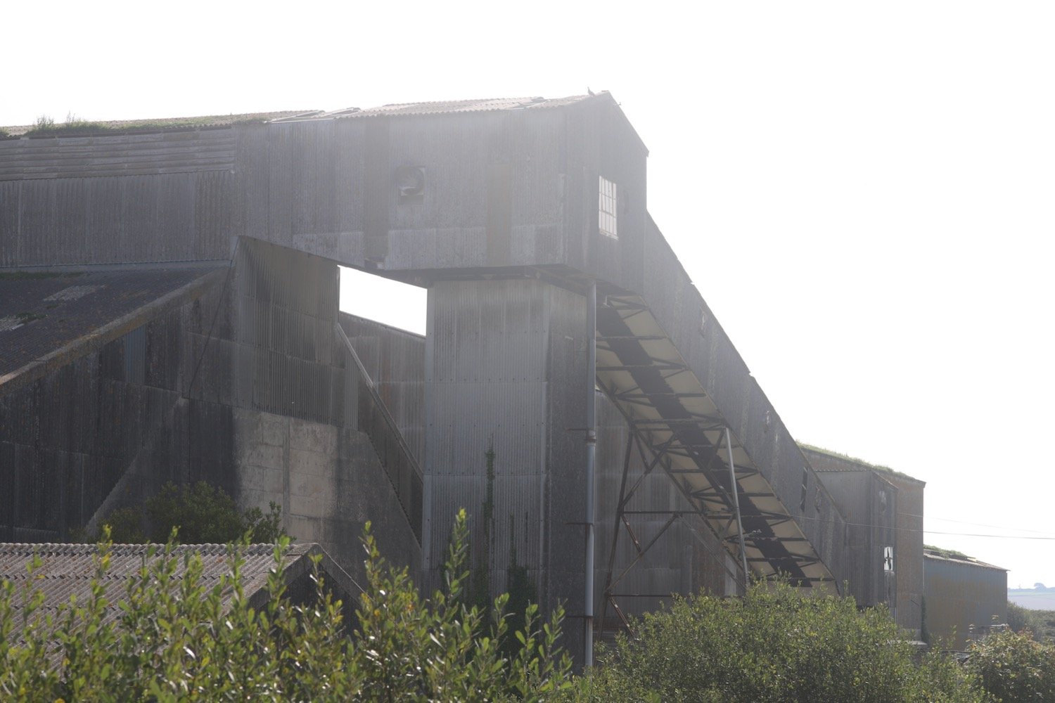
china clay works

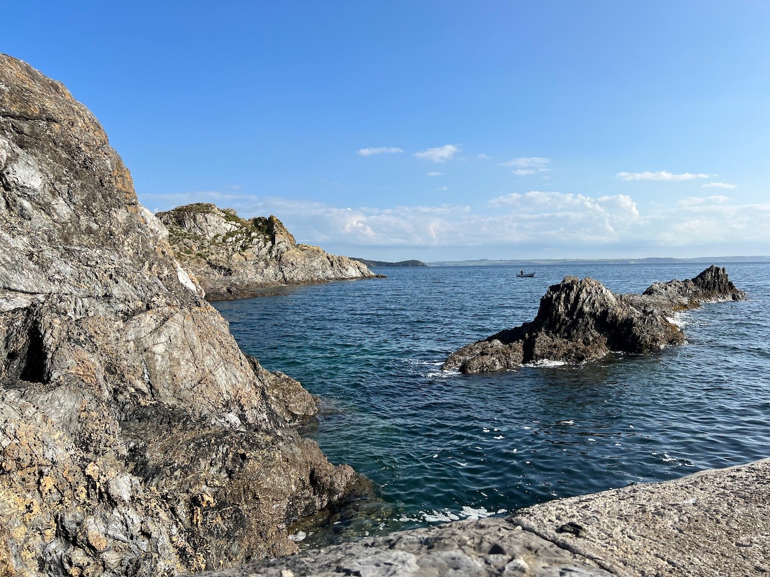
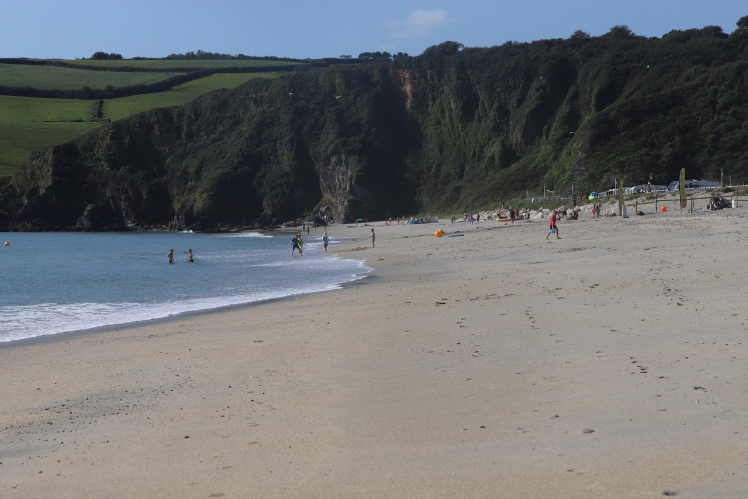
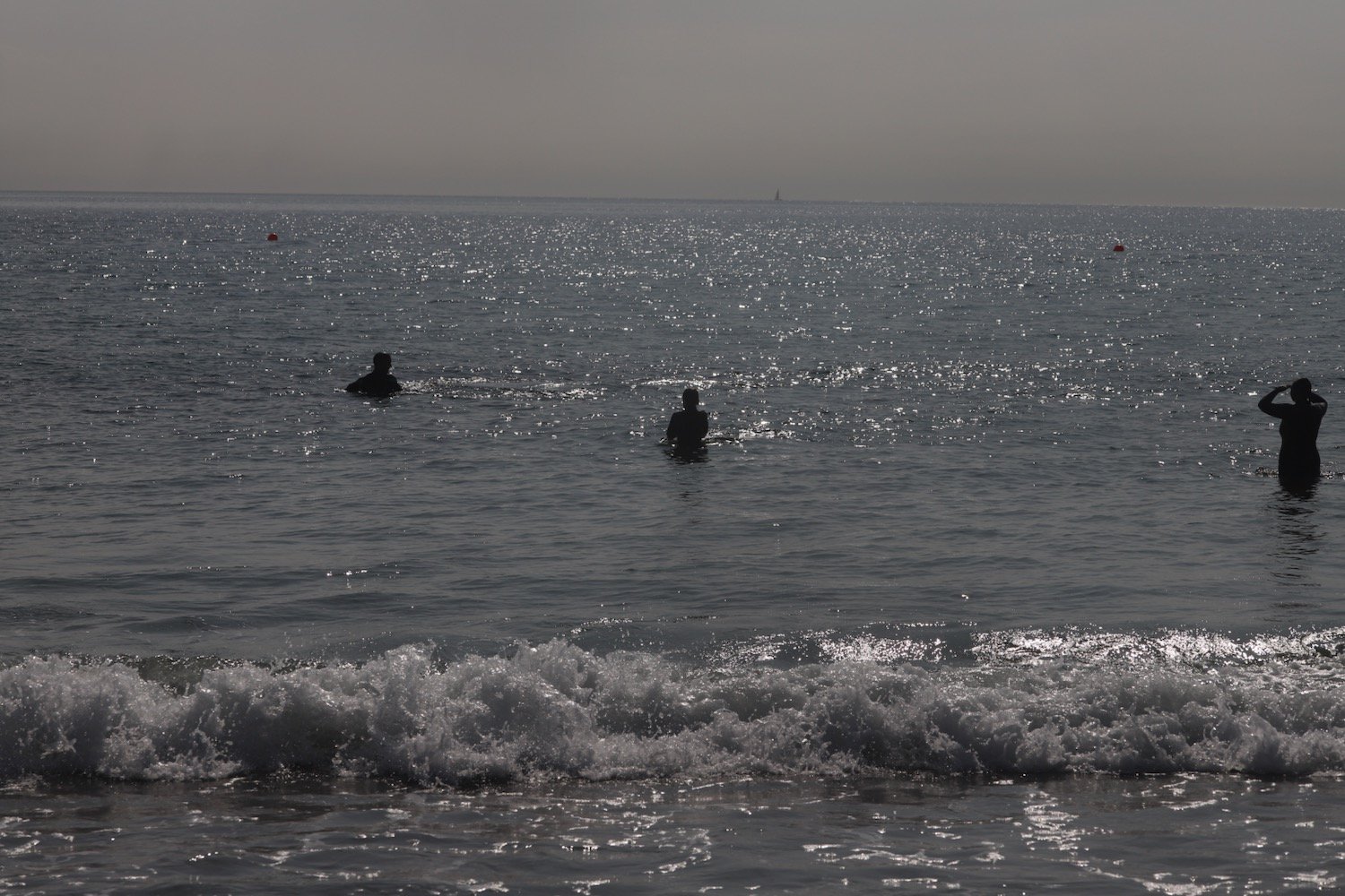
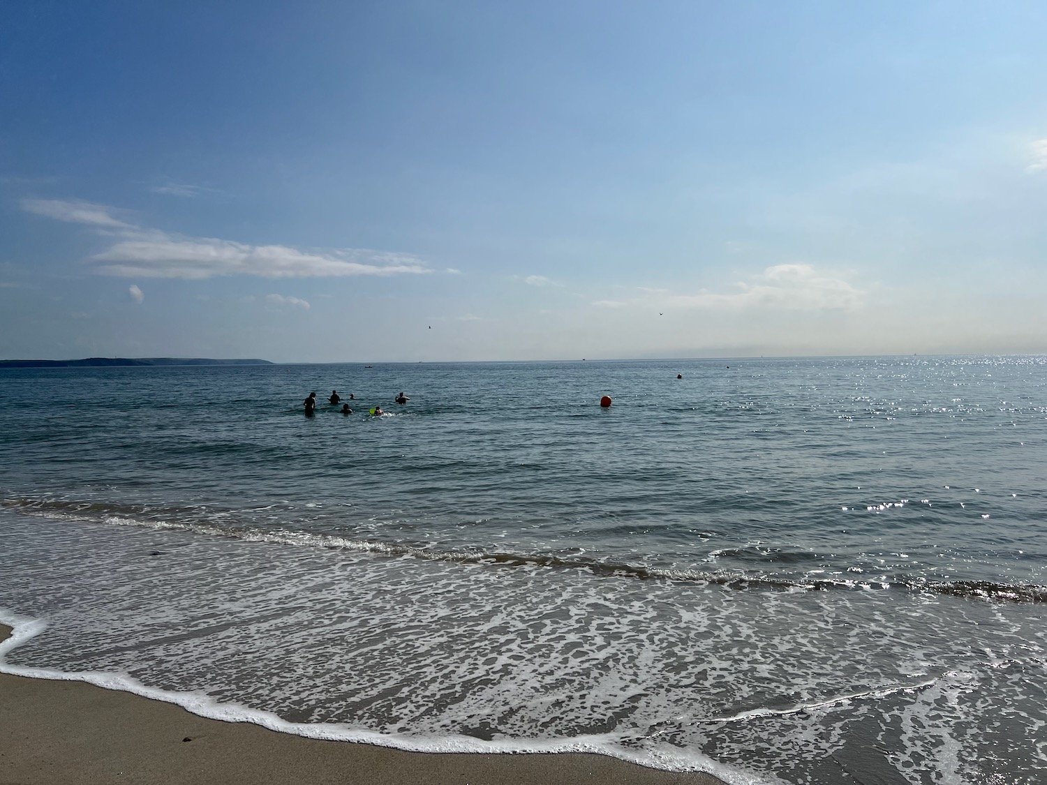
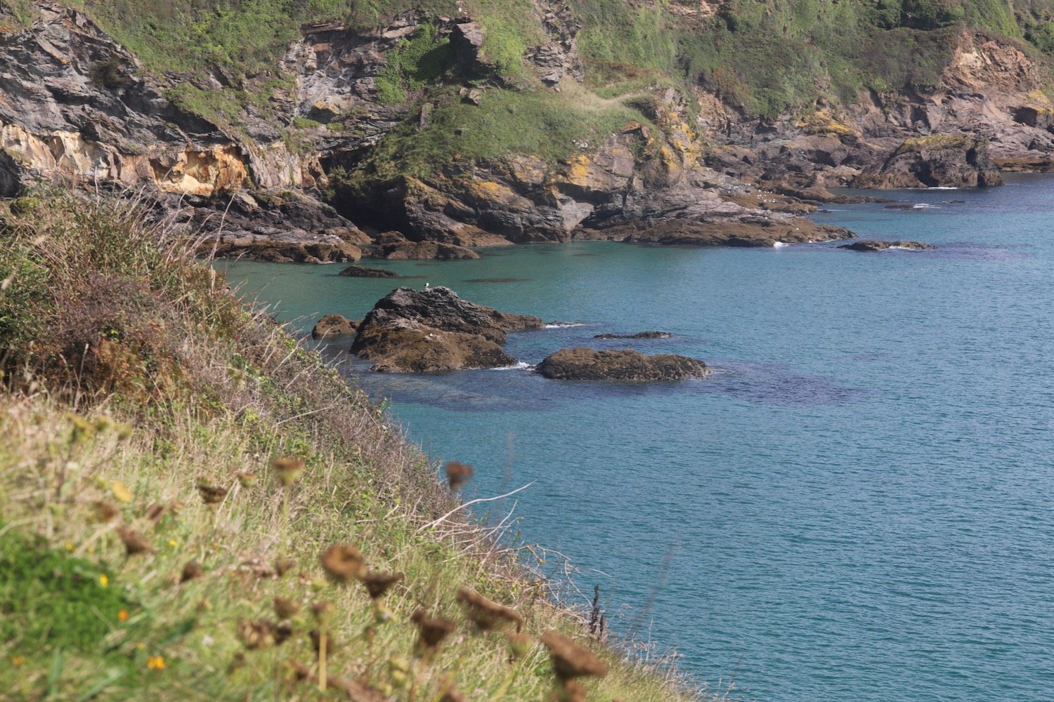
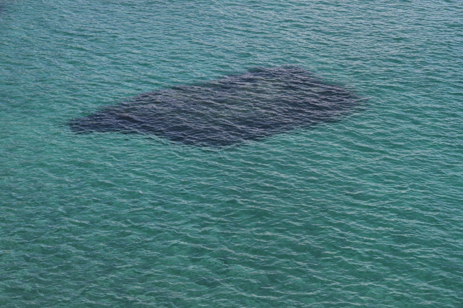
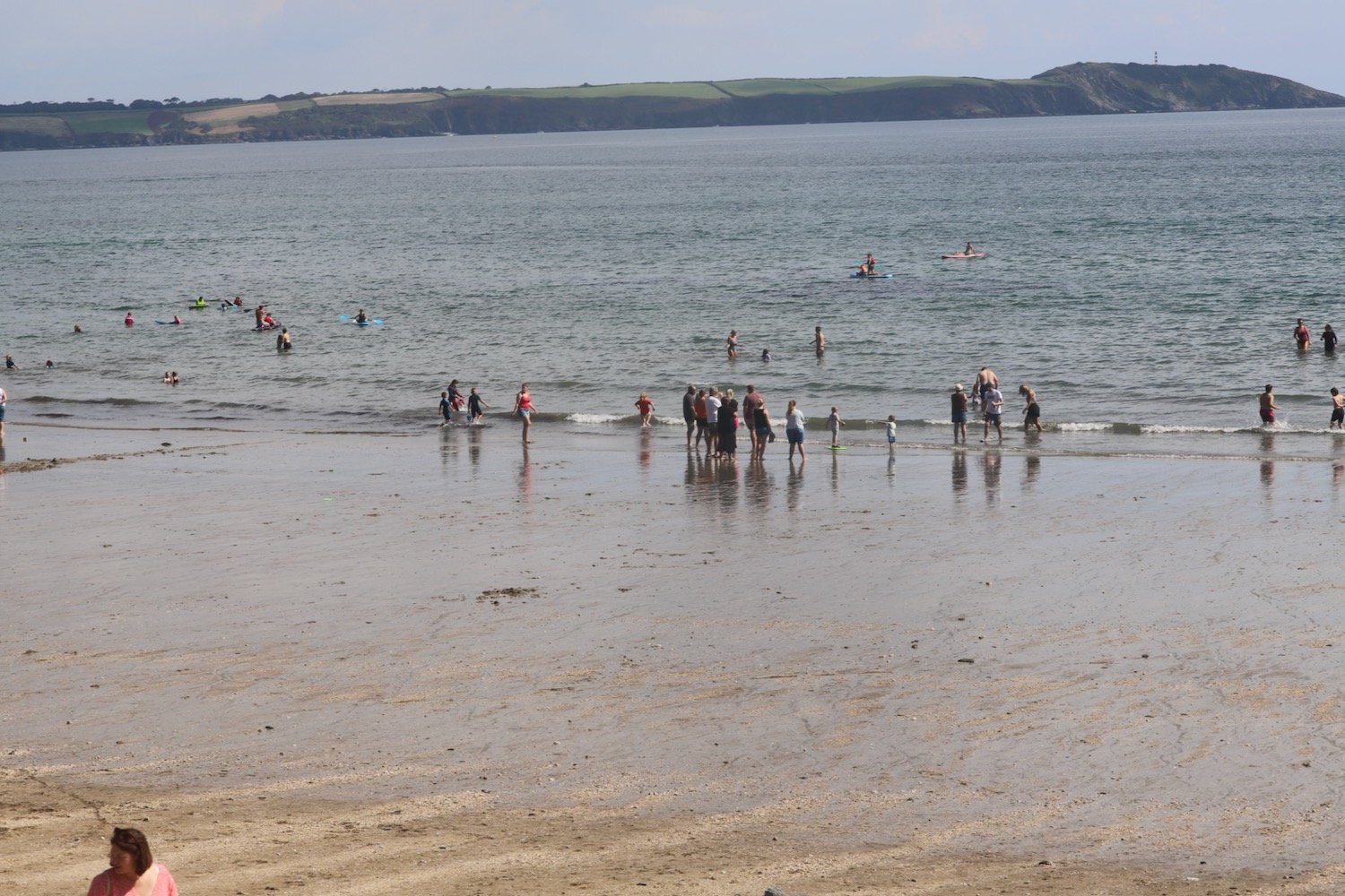
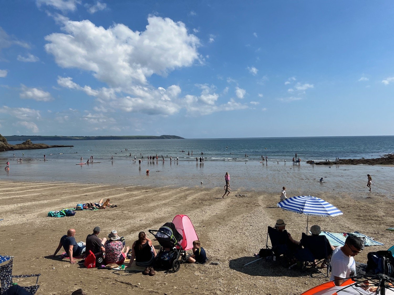
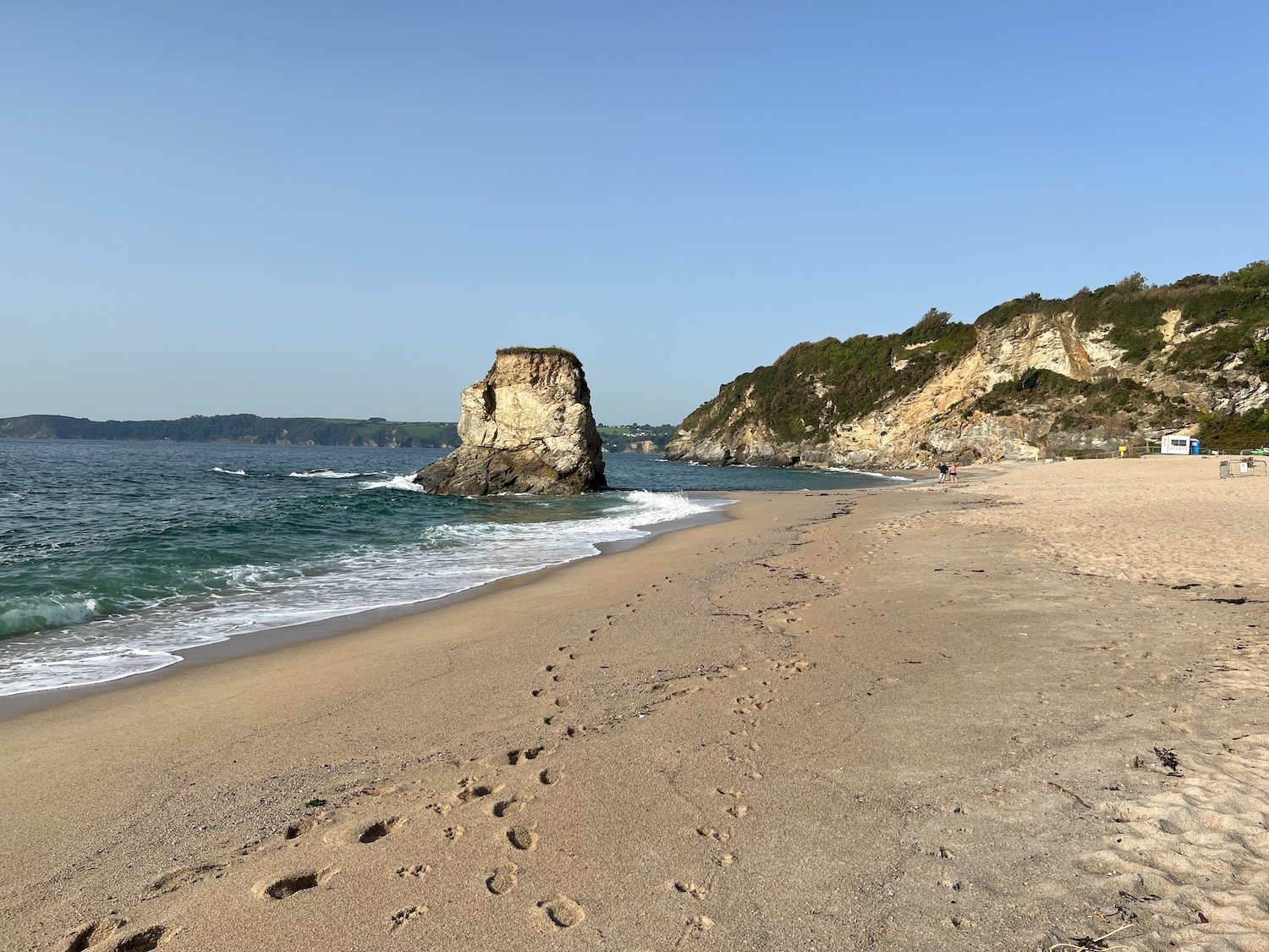
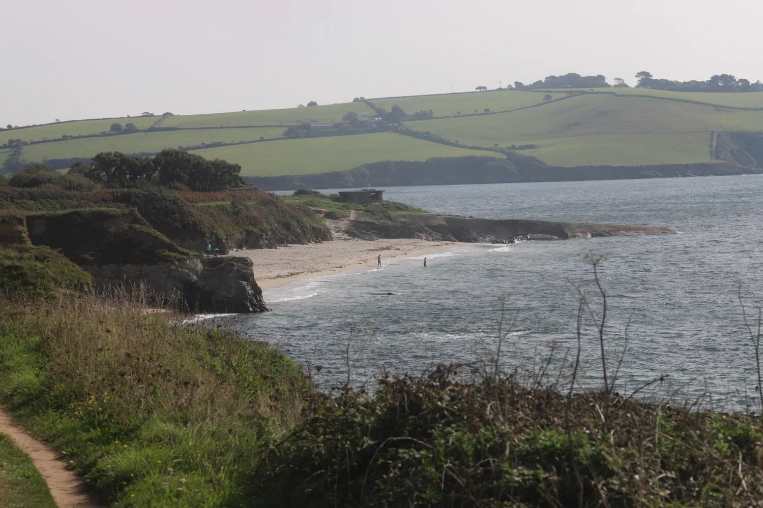
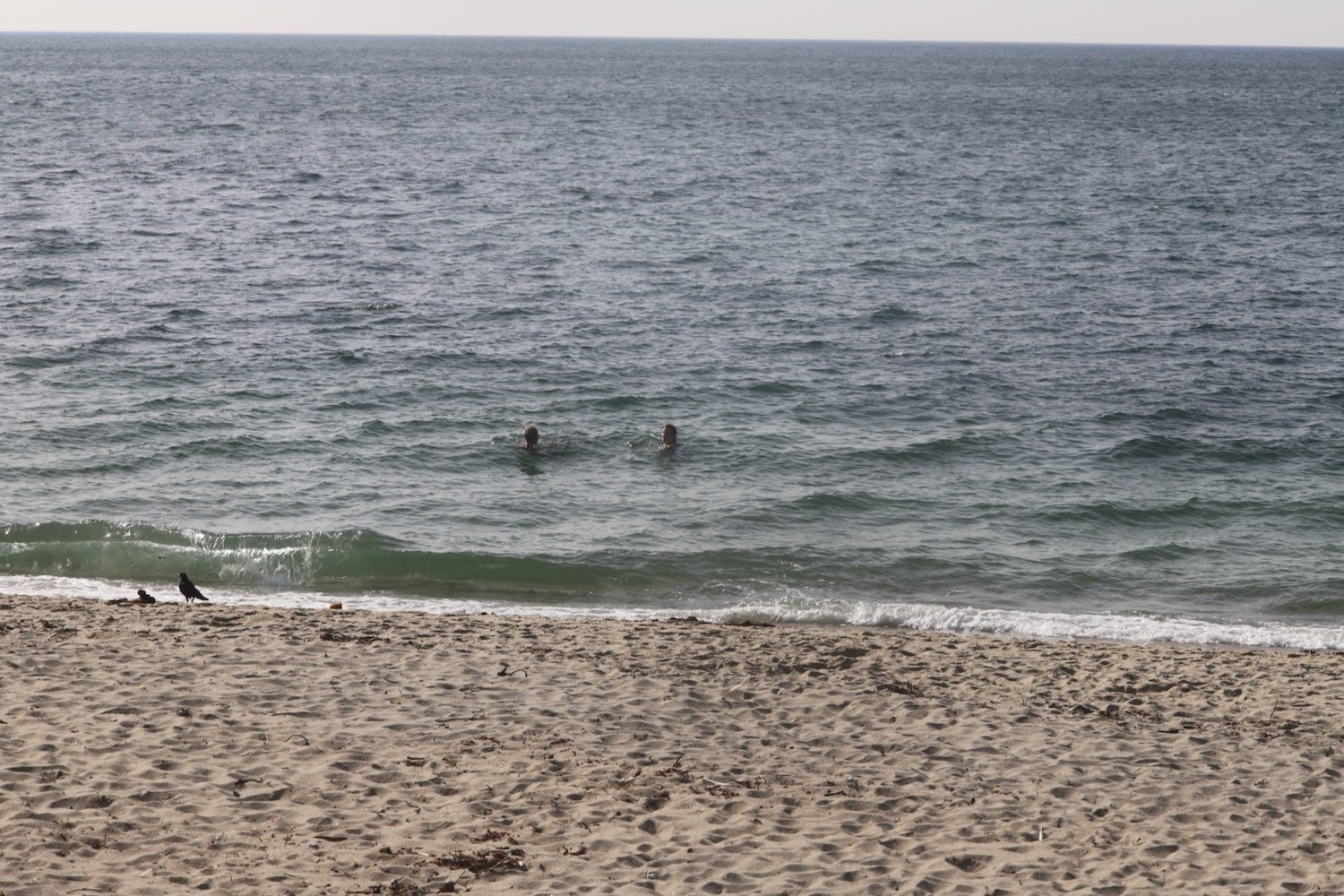
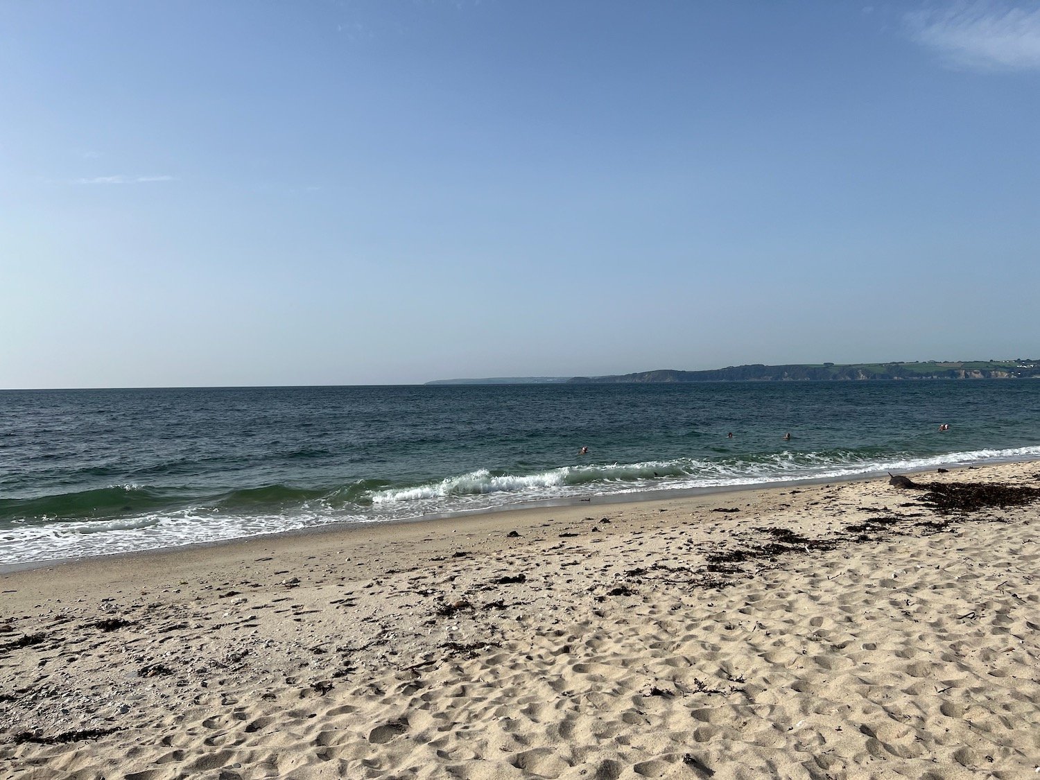
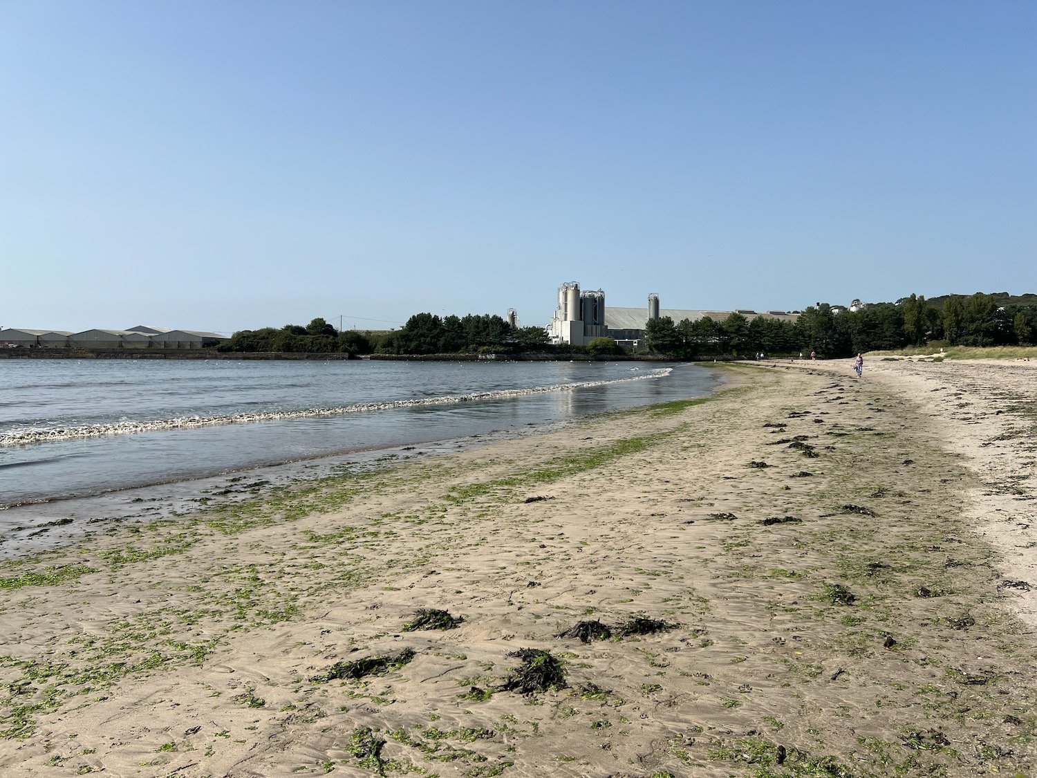
I find a beach which is normally deserted just before reaching the china clay works but it's actually quite busy today and there are quite a few people swimming in the sea. There is a dead dolphin on the beach. The beach is unmarked on my Ordnance Survey map but must be Spit Point Beach.
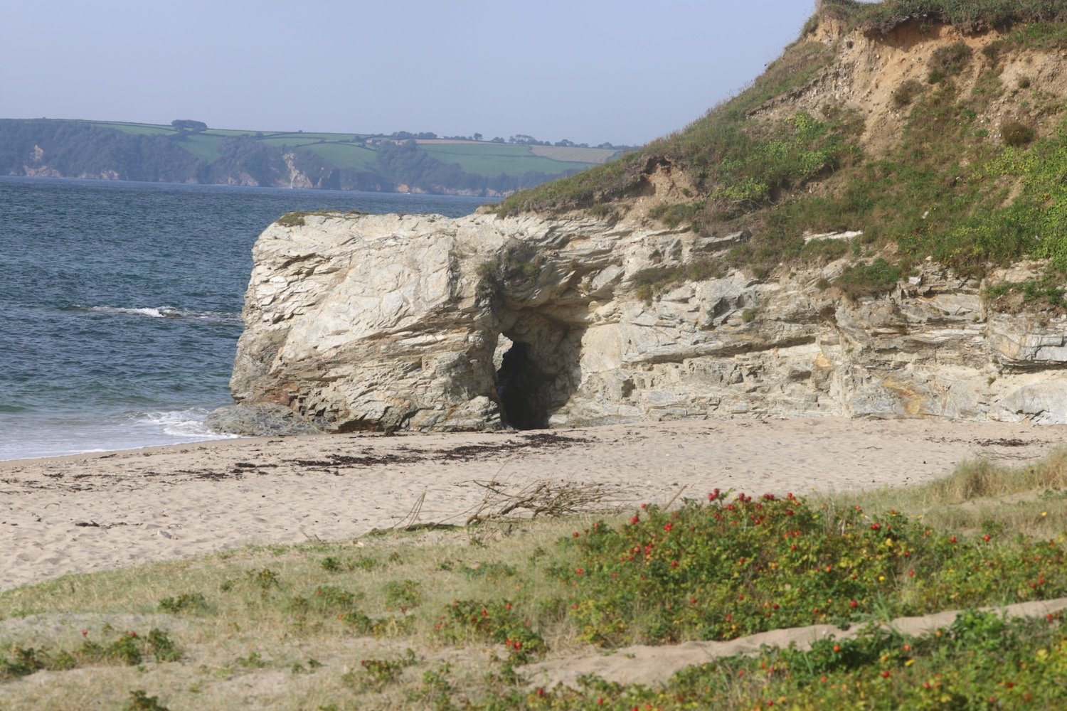
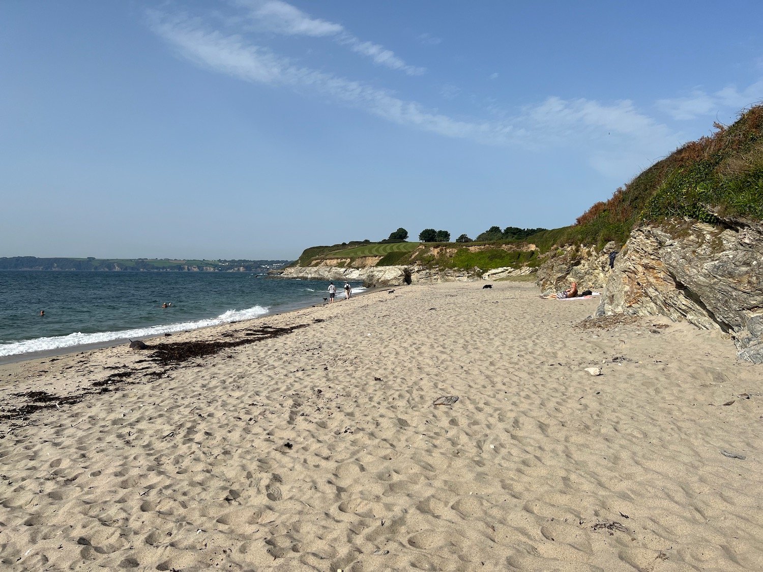
I enjoy the beach here before walking through the deserted and dusty china clay works to reach the hideously busy A3082.
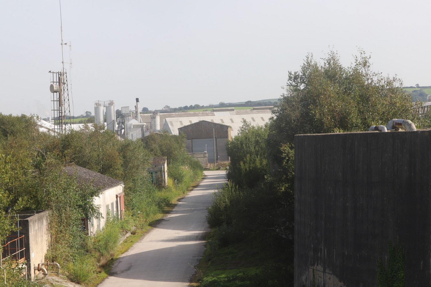
My foot is starting to feel quite painful now and I’m hobbling along propped up by my walking pole. The path continues past the Port of Par and then through the stinky village of Par passing the Church of the Good Shepherd.
church of the good shepherd
I continue past the Welcome Home Inn and find a sign pointing out to the coast path.
welcome home inn
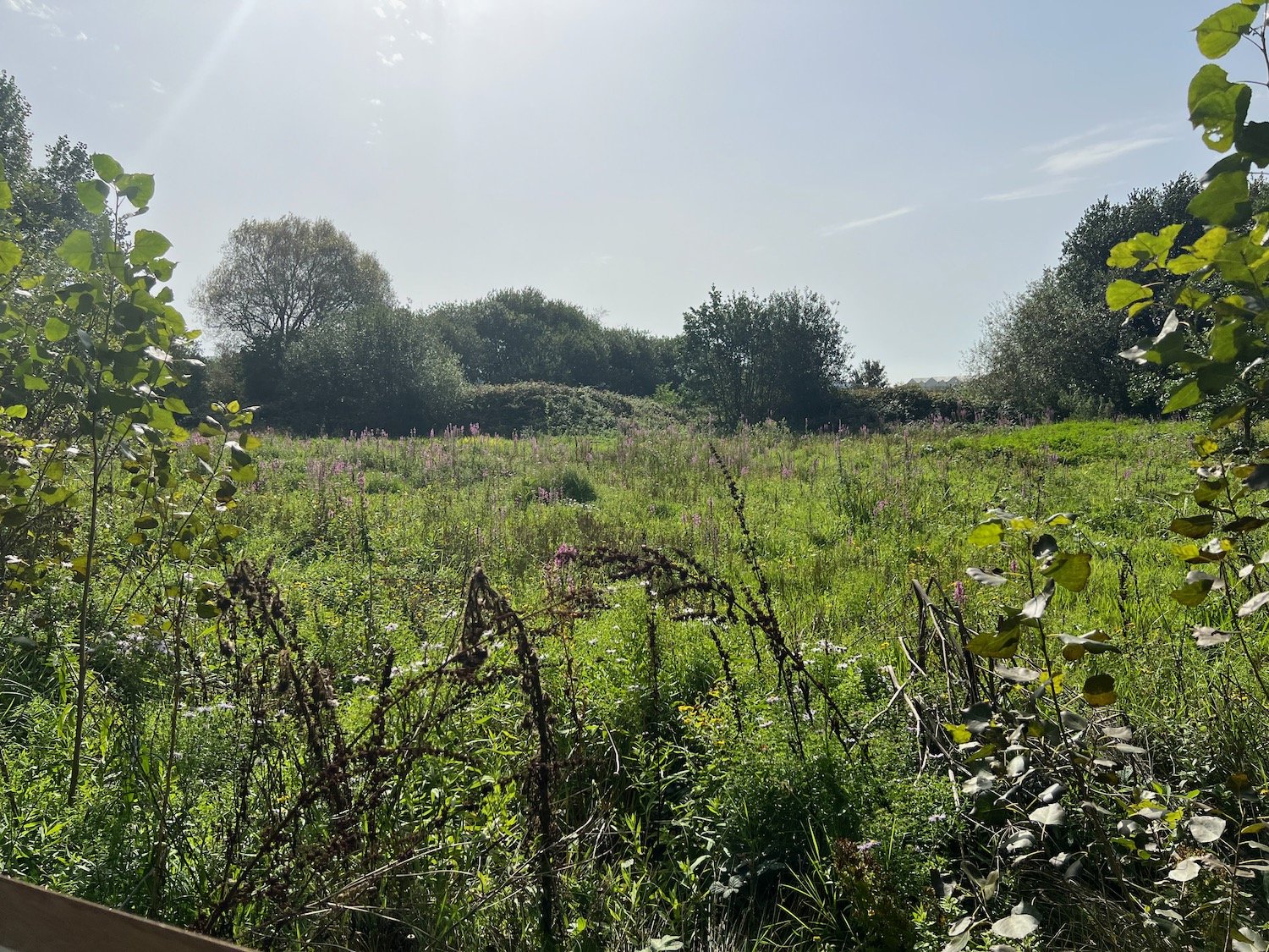
I follow a convoluted path which eventually leads me to a wildflower meadow at Par Beach Local Nature Reserve.
par beach local nature reserve
I pass a bee hive, part of a ‘rewilding our honey bees’ project. The hive was installed by Just Bee Eco Hives.
rewilding our honey bees
rewilding our honey bees
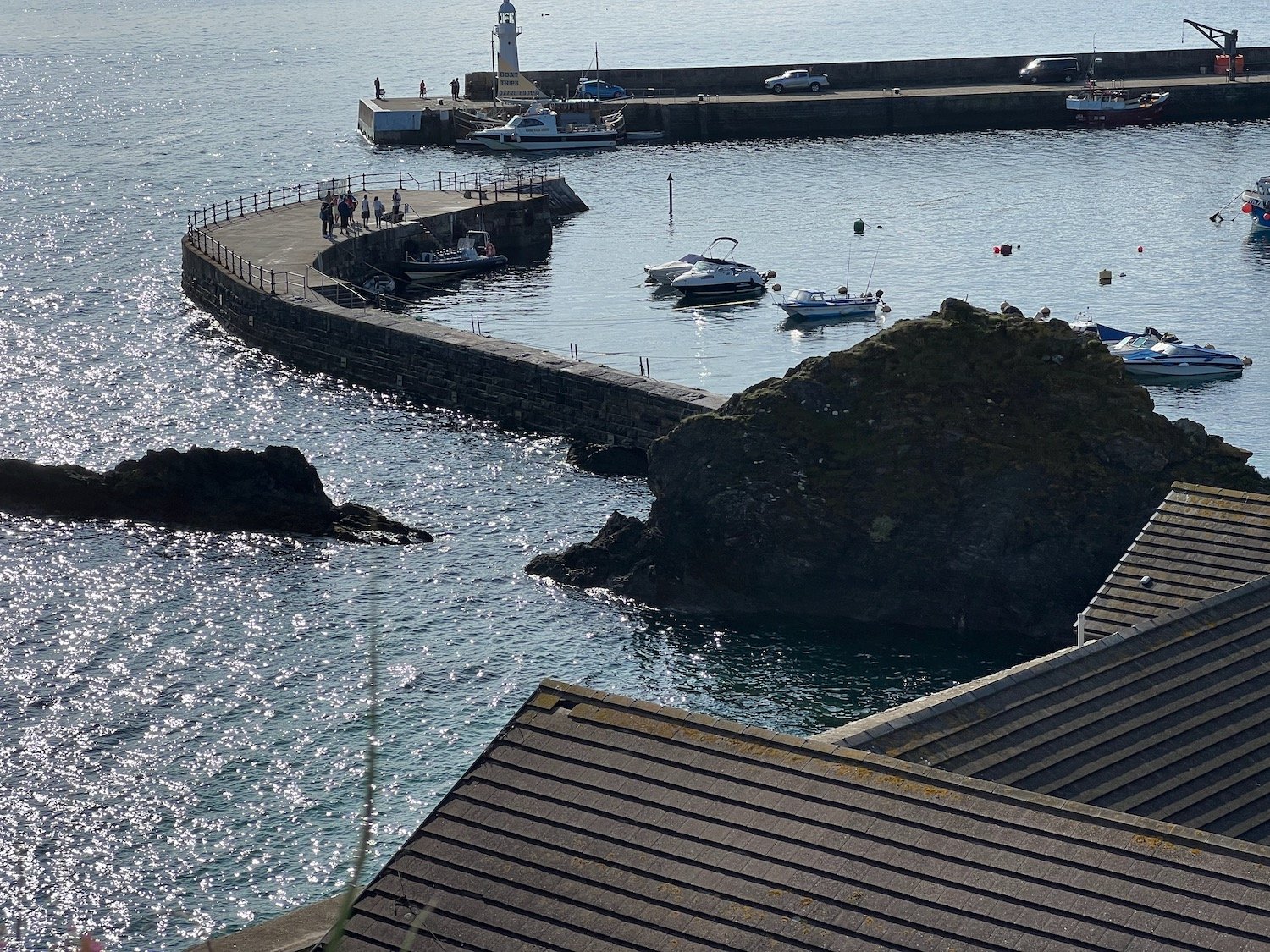
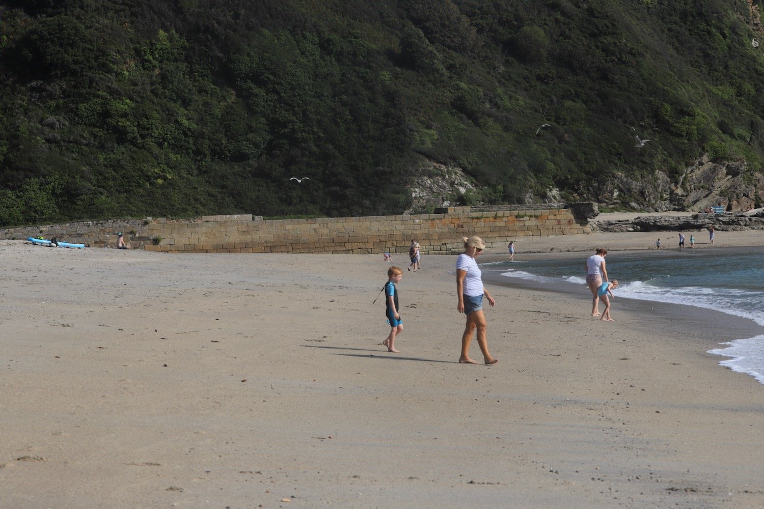
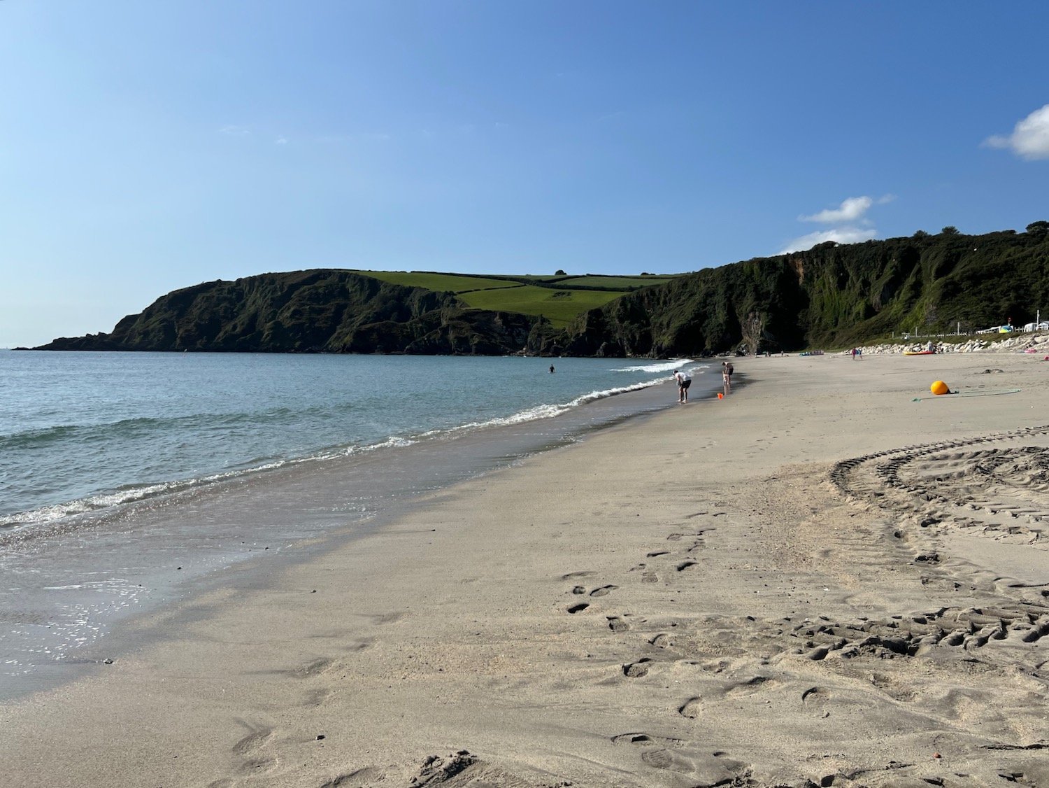
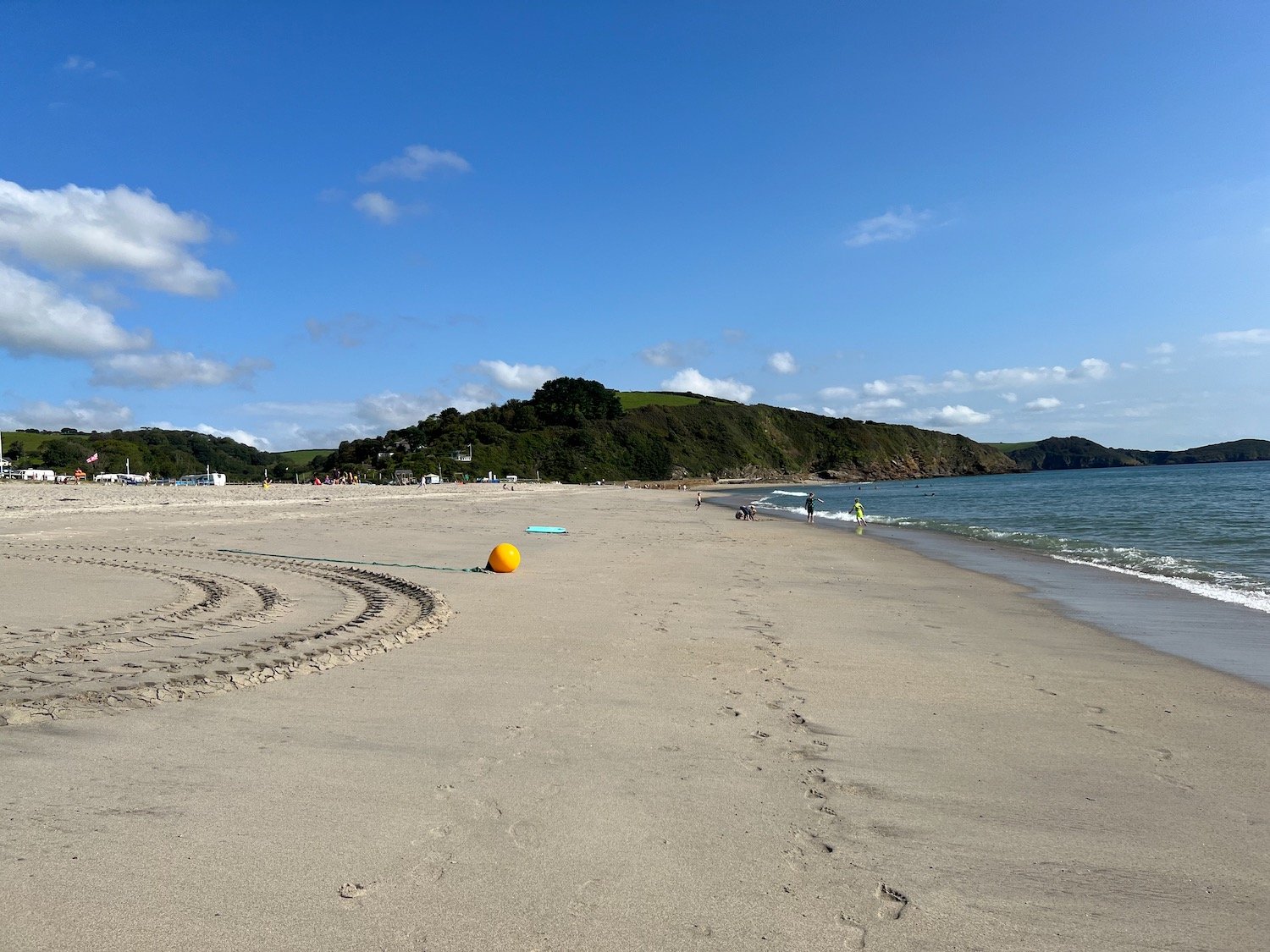
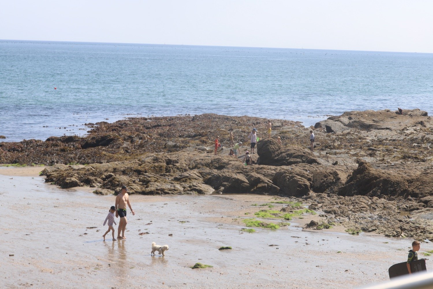
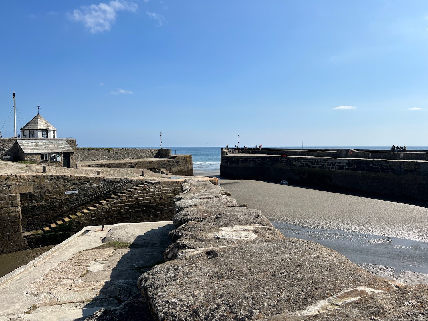
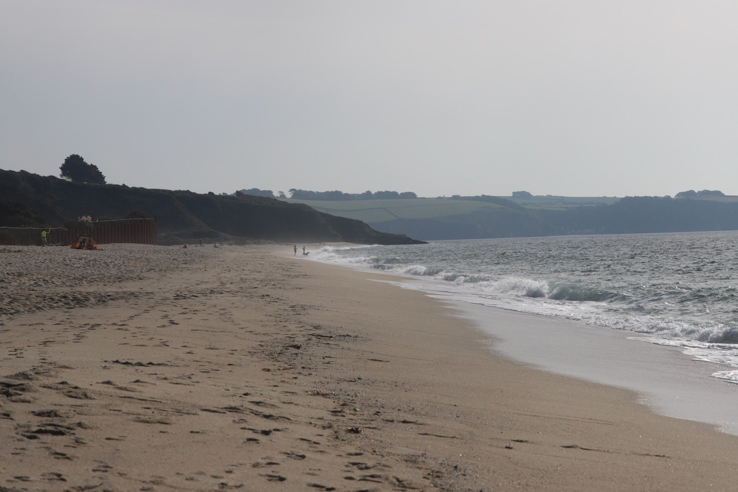
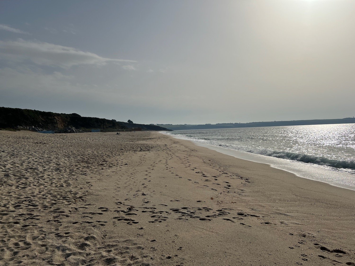
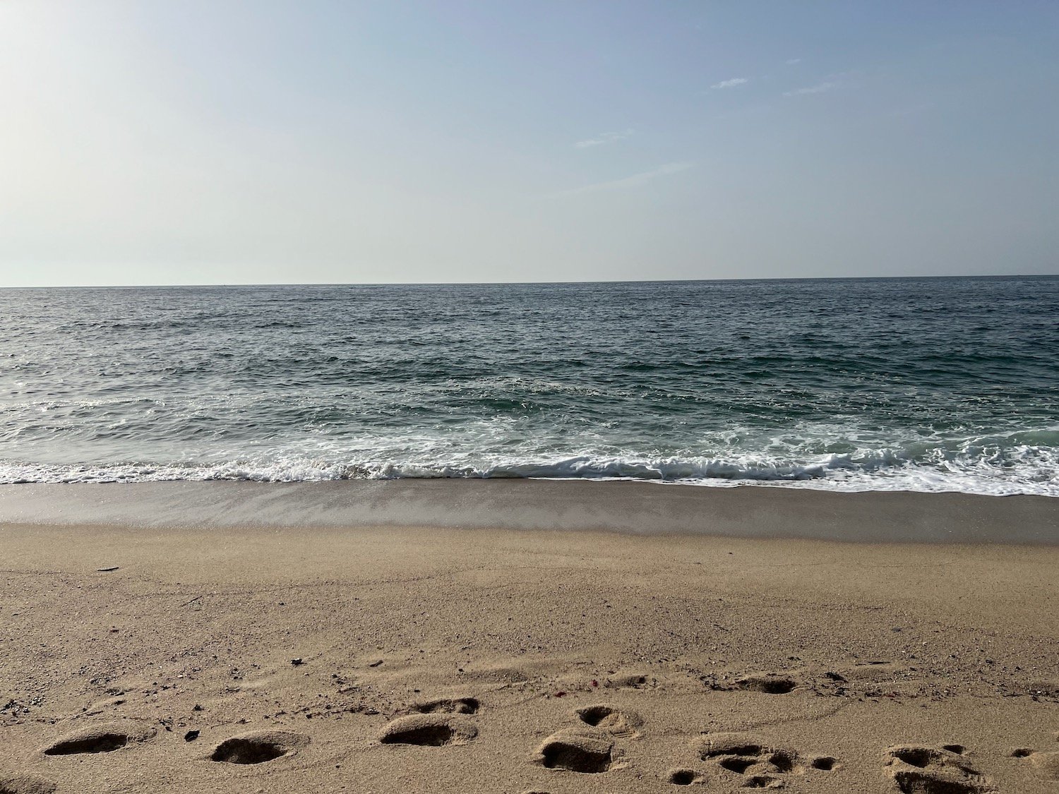
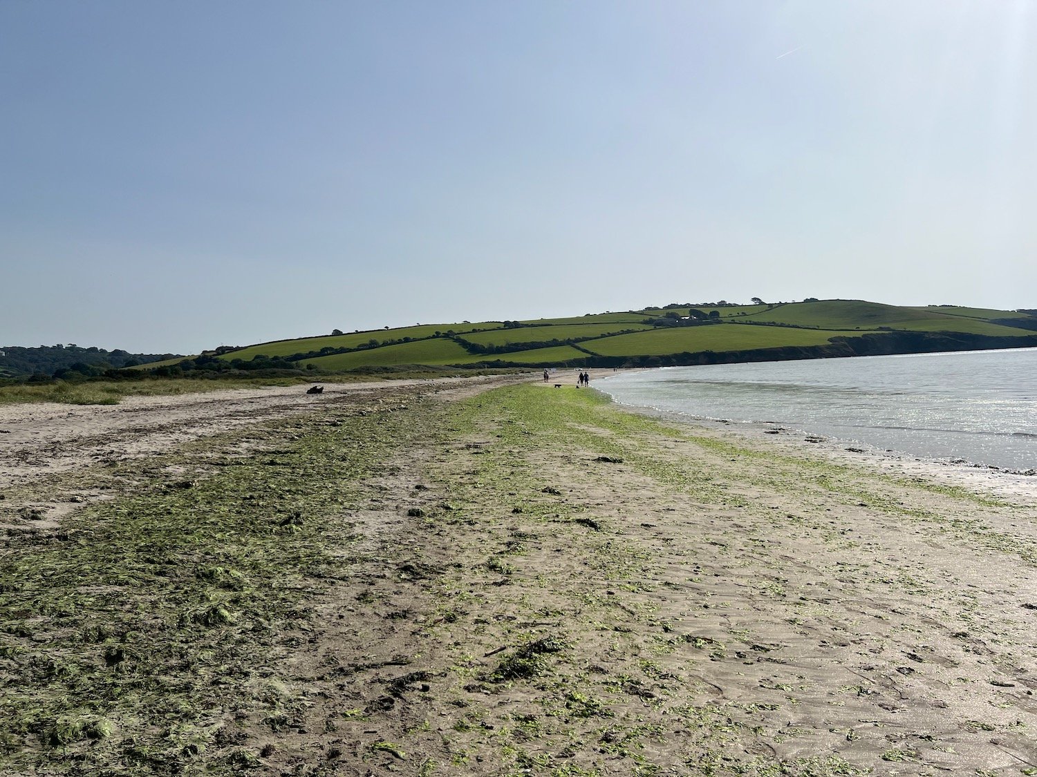
The path finally leads me to the beach at Par Sands where I wander along the sandy beach and at the far end walk through the sand dunes to reach the car park where my lift awaits.
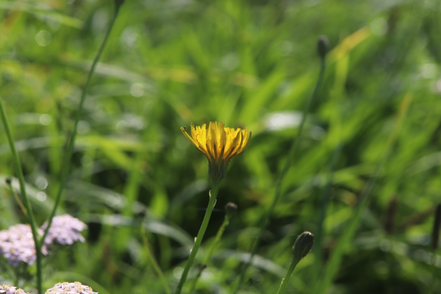
FLORA AND FAUNA
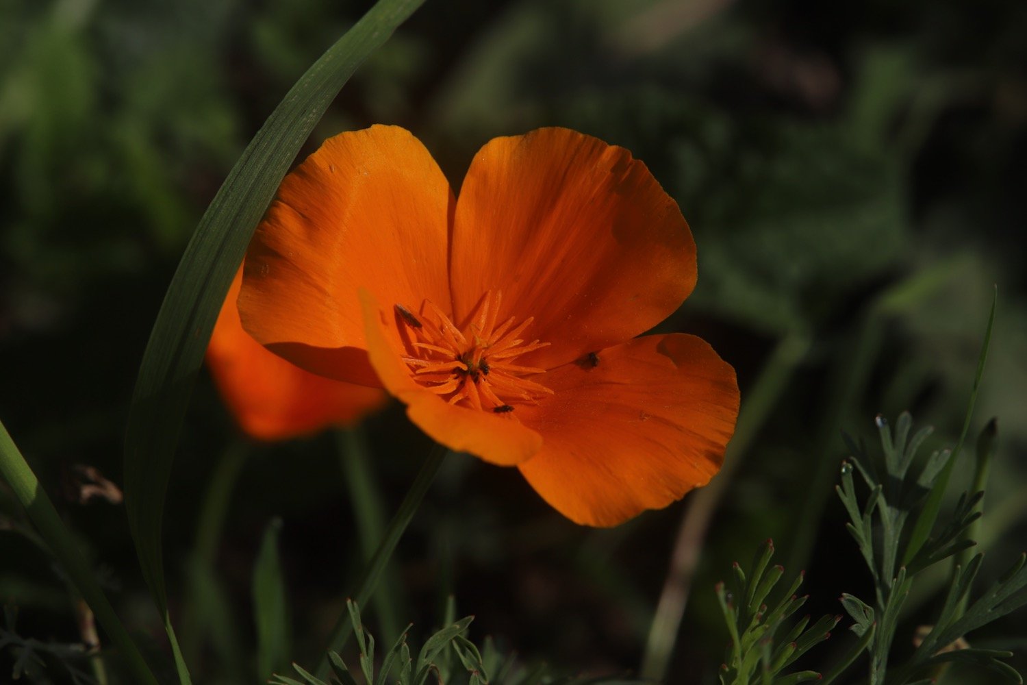
Flora and fauna encountered on the walk today includes :-
red admiral butterflies
speckled wood butterflies
small tortoiseshell butterfly
japanese anemones
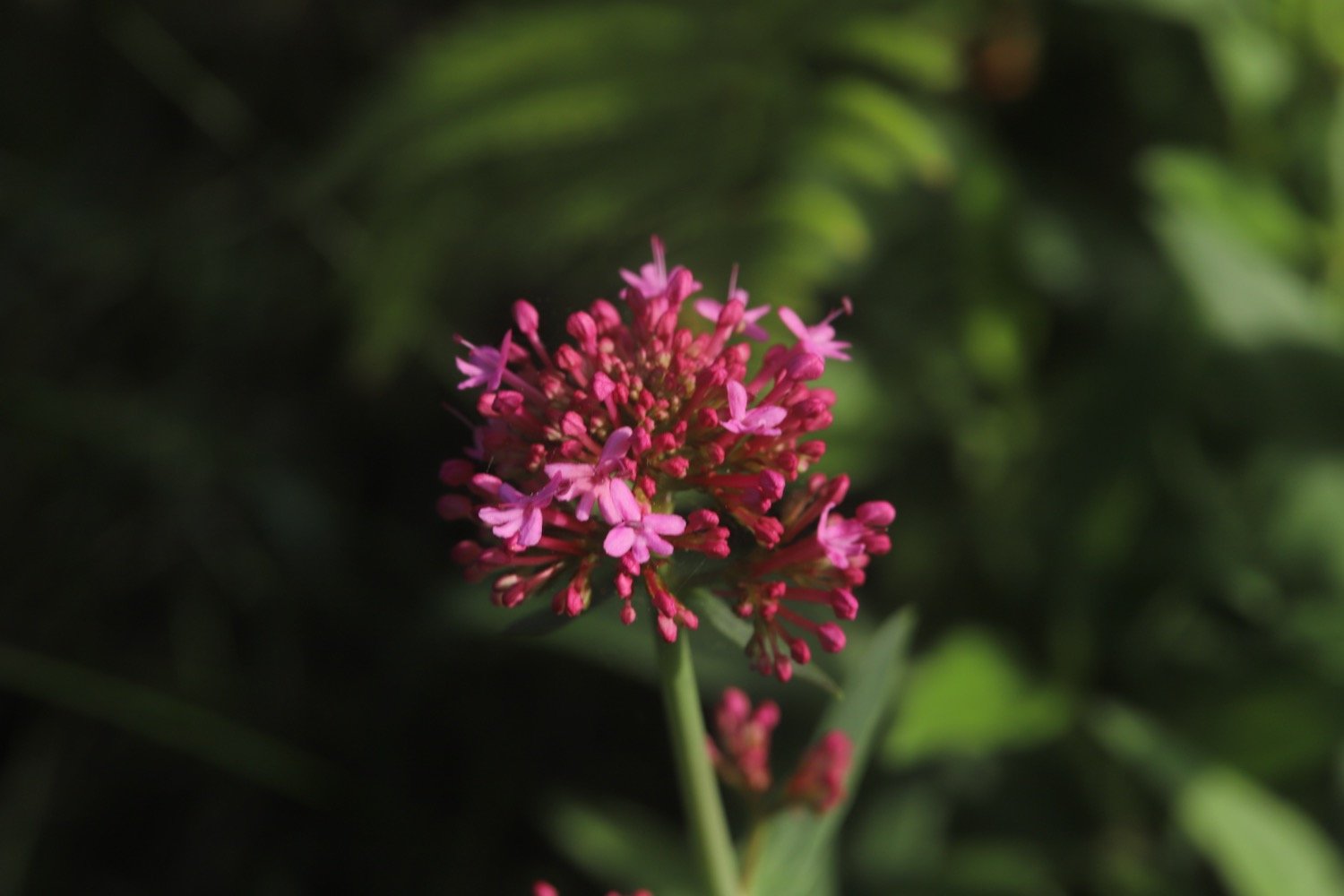
red valerian
ribwort plantain
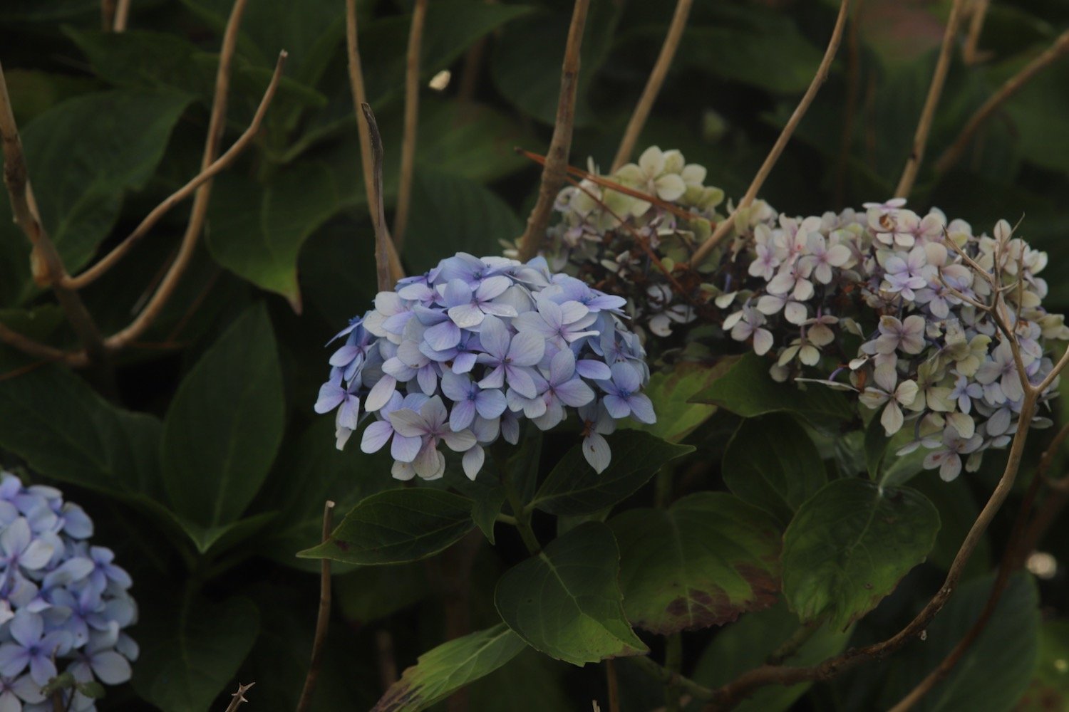
hydrangea
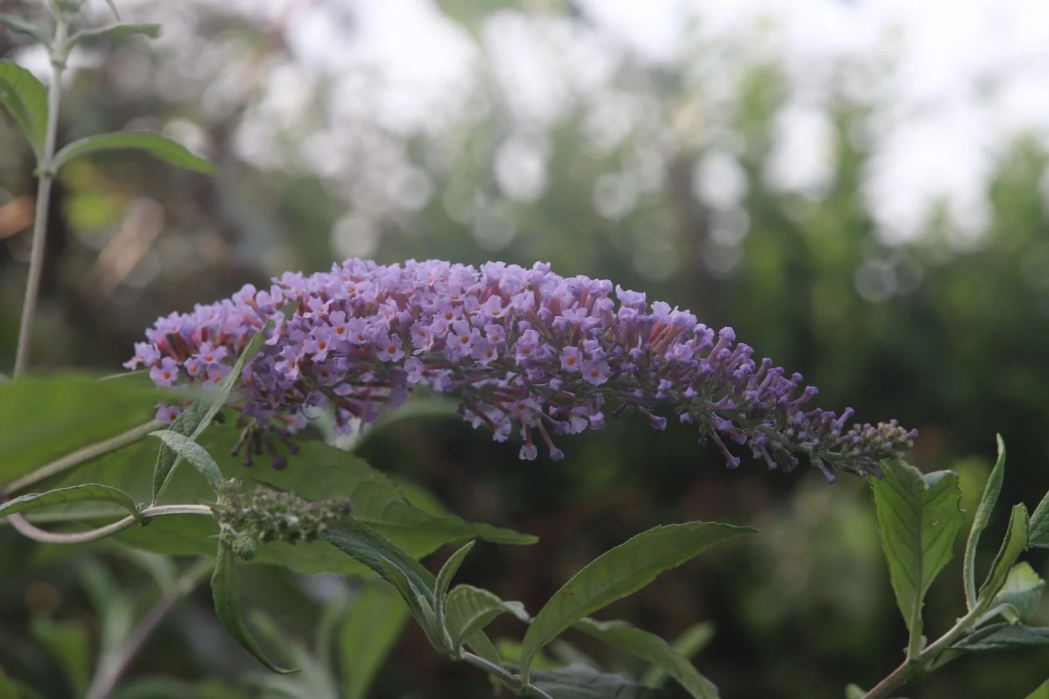
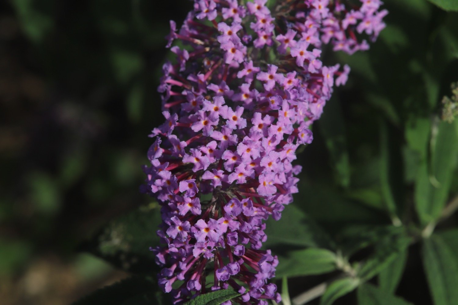
buddleia
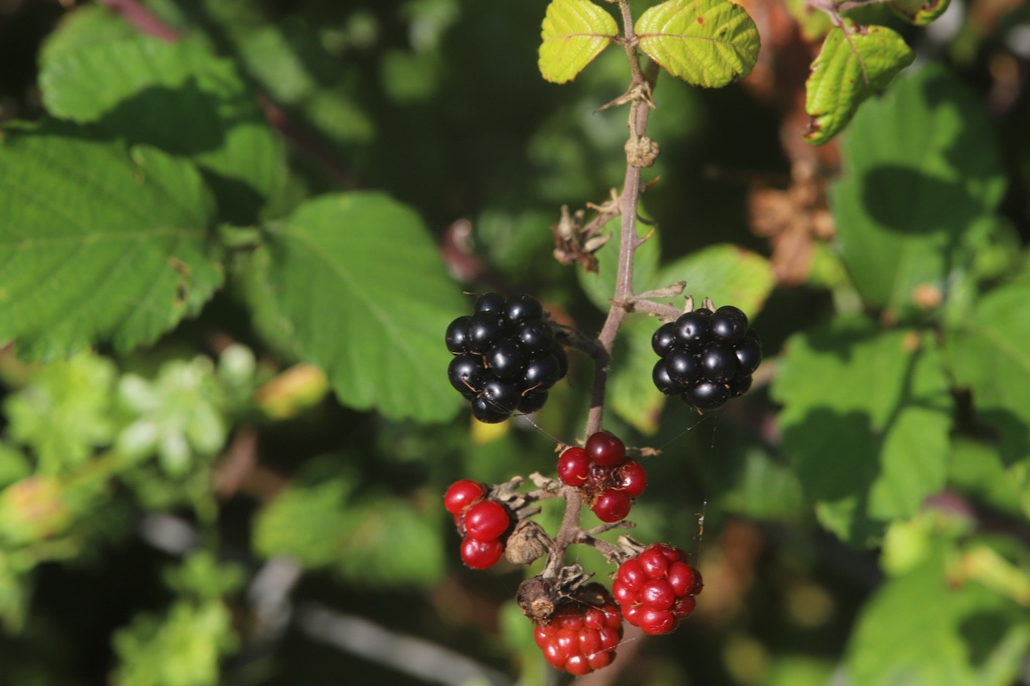
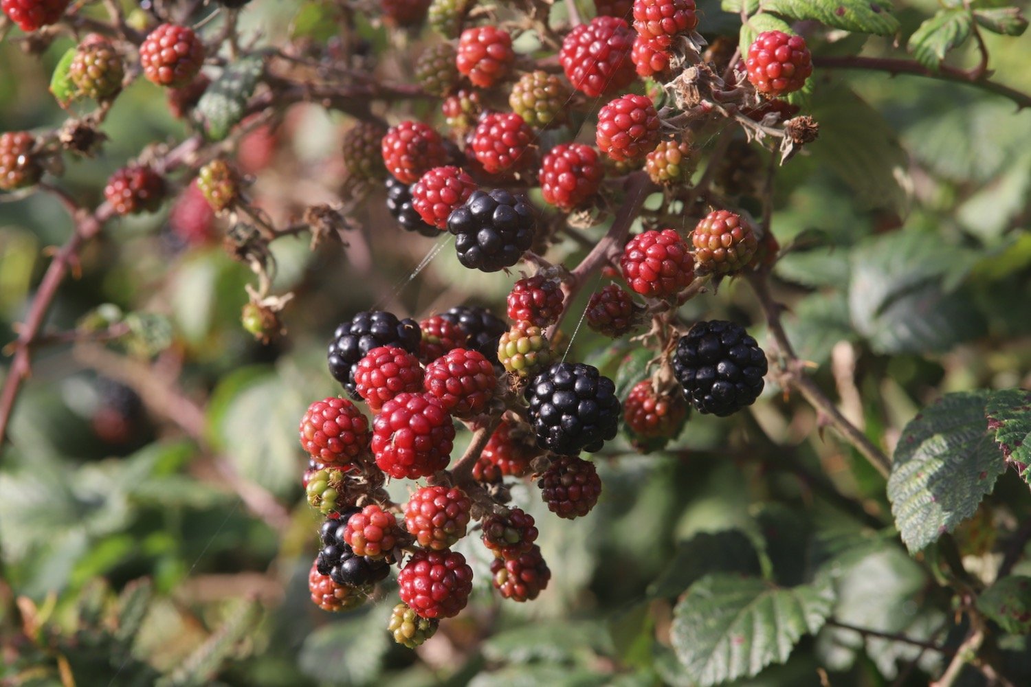
blackberries
herb robert
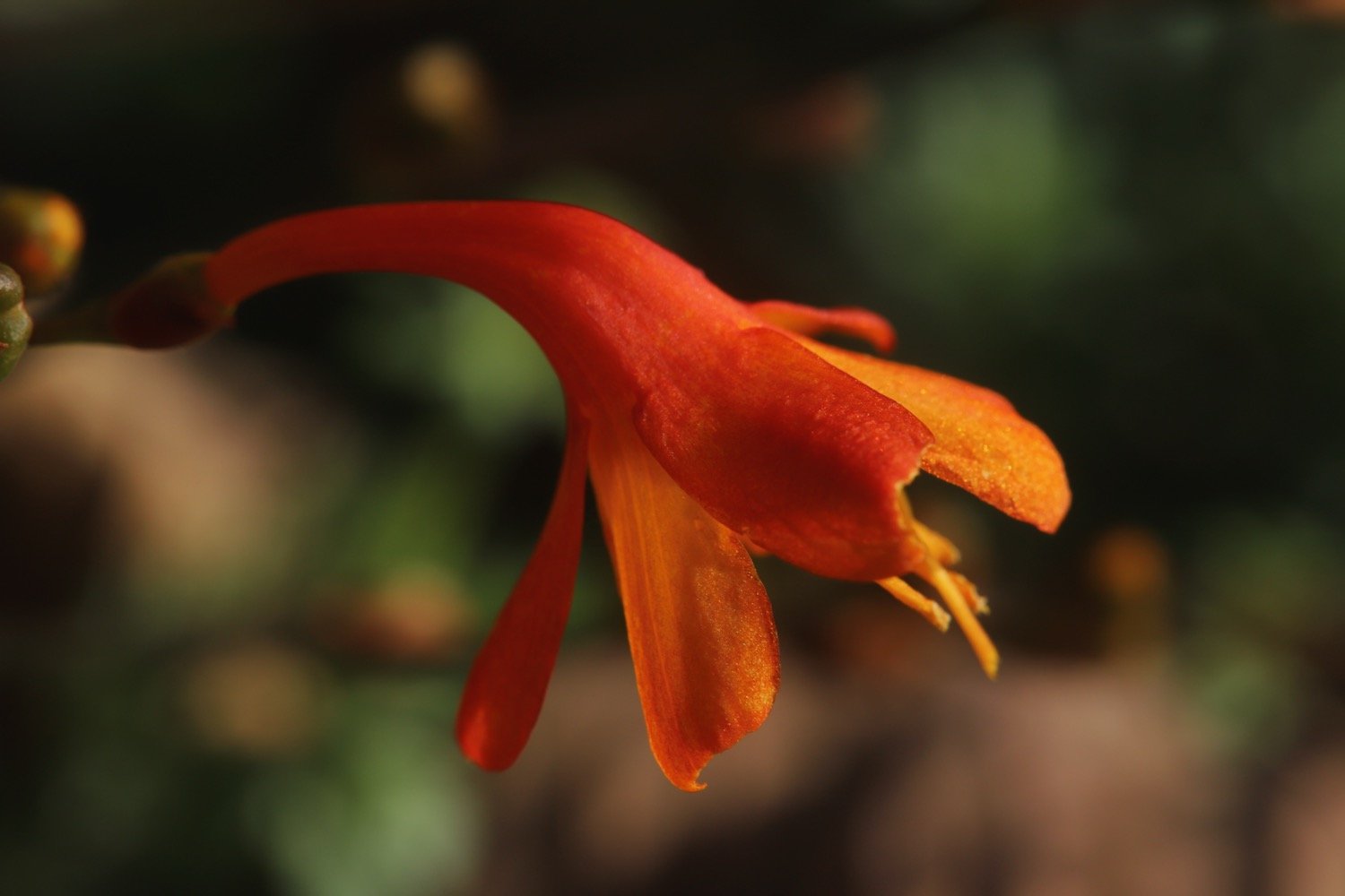
crocosmia
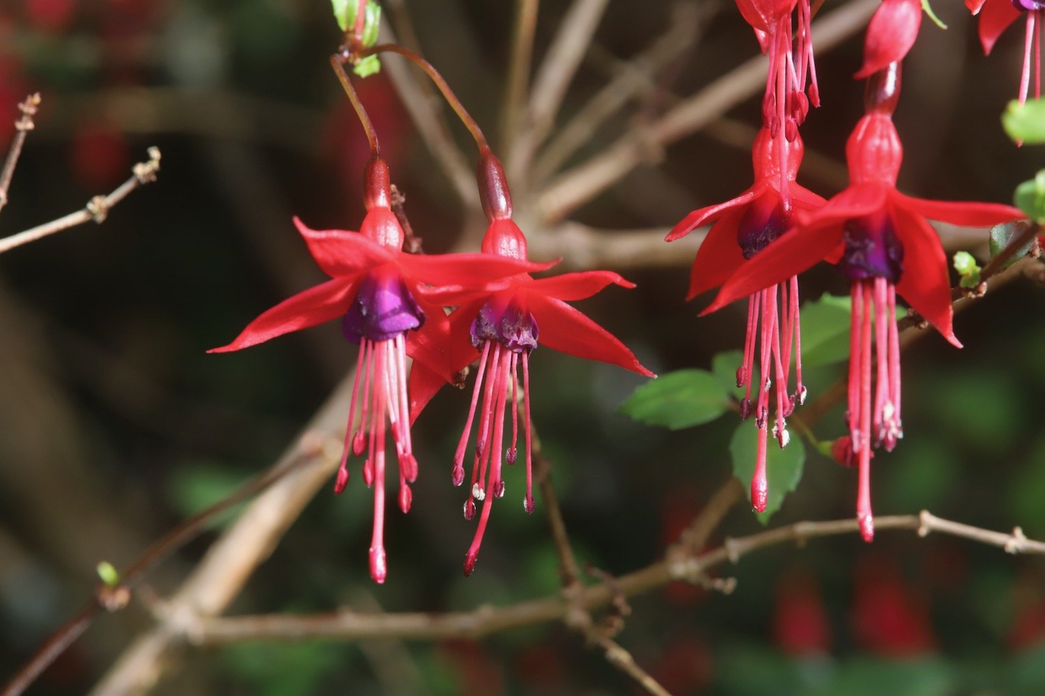
fuchsias
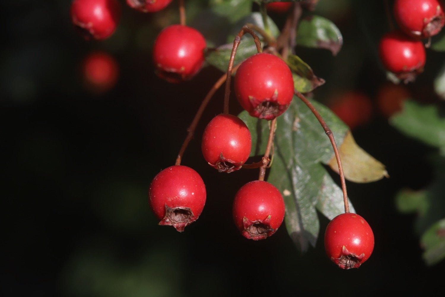
hawthorn
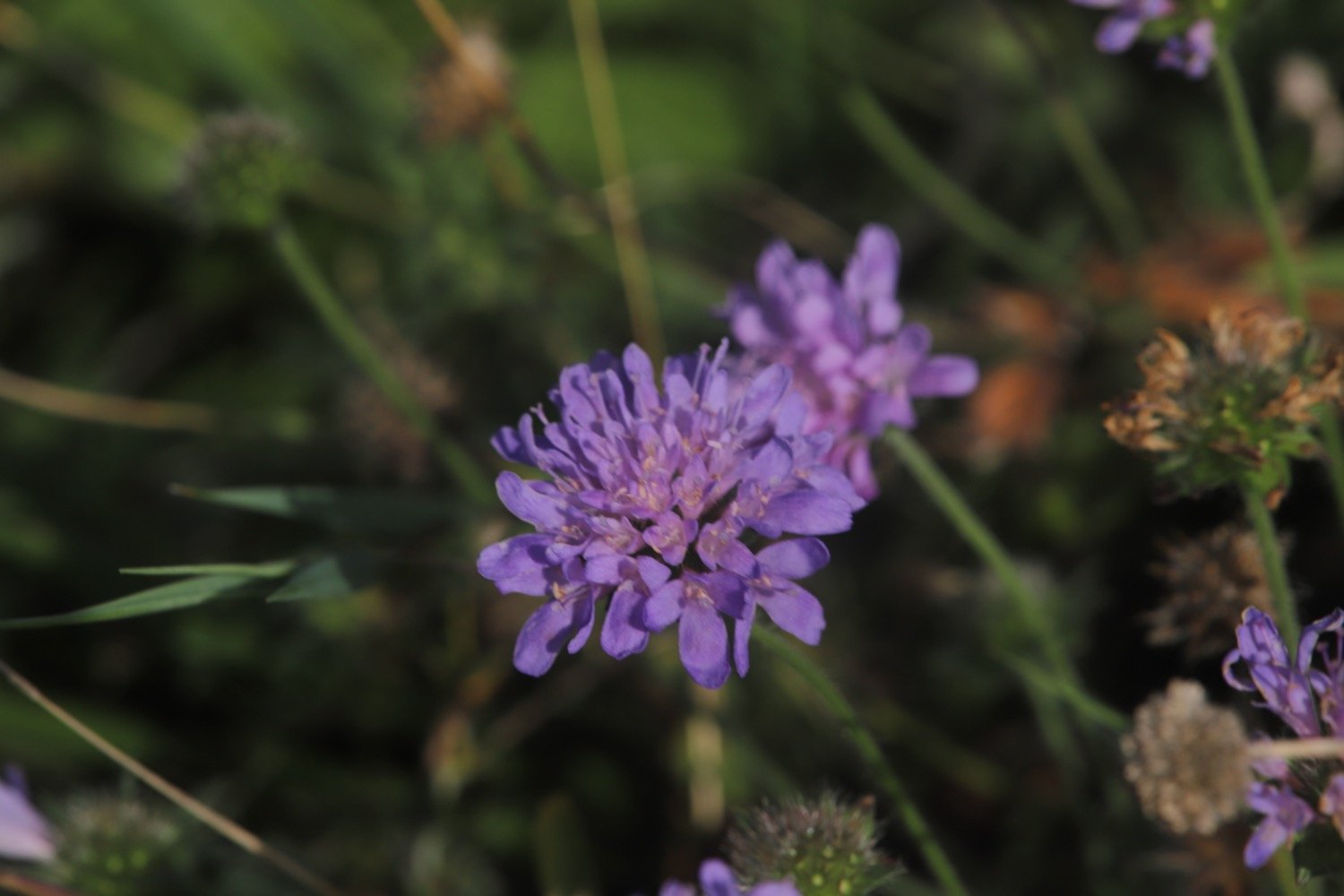
scabious
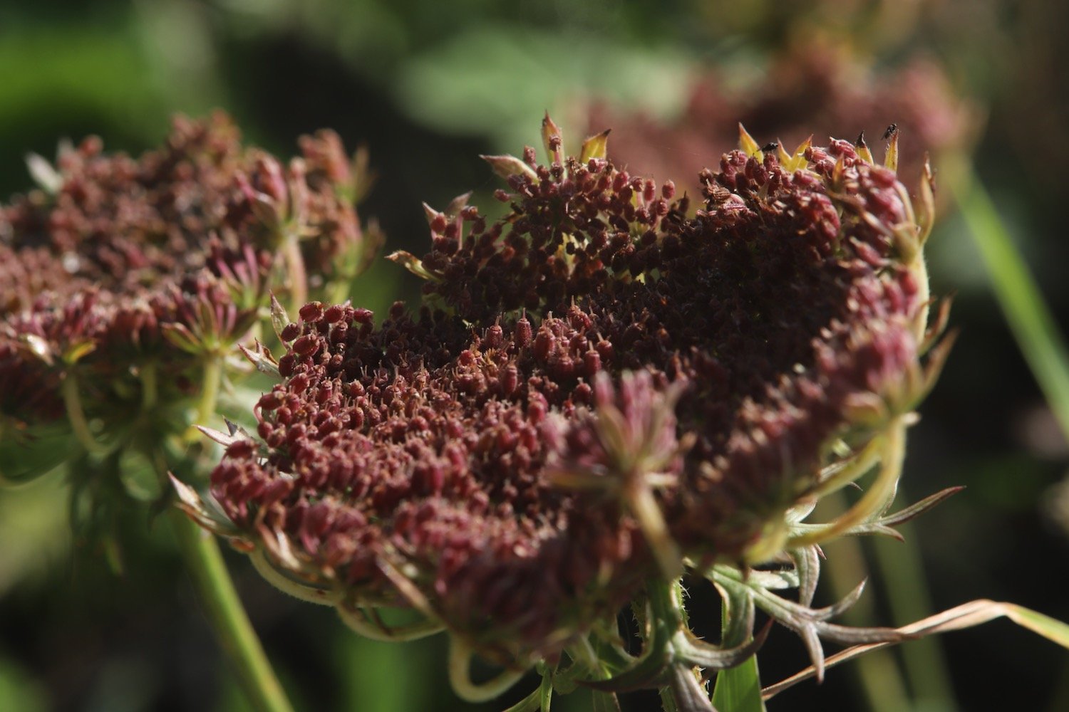
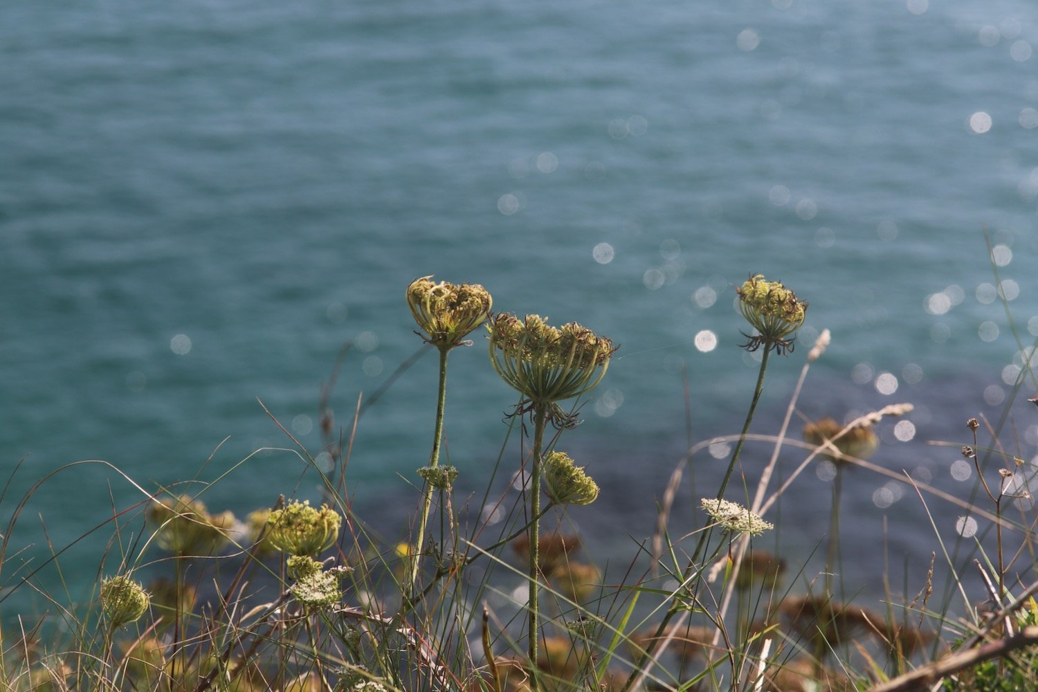
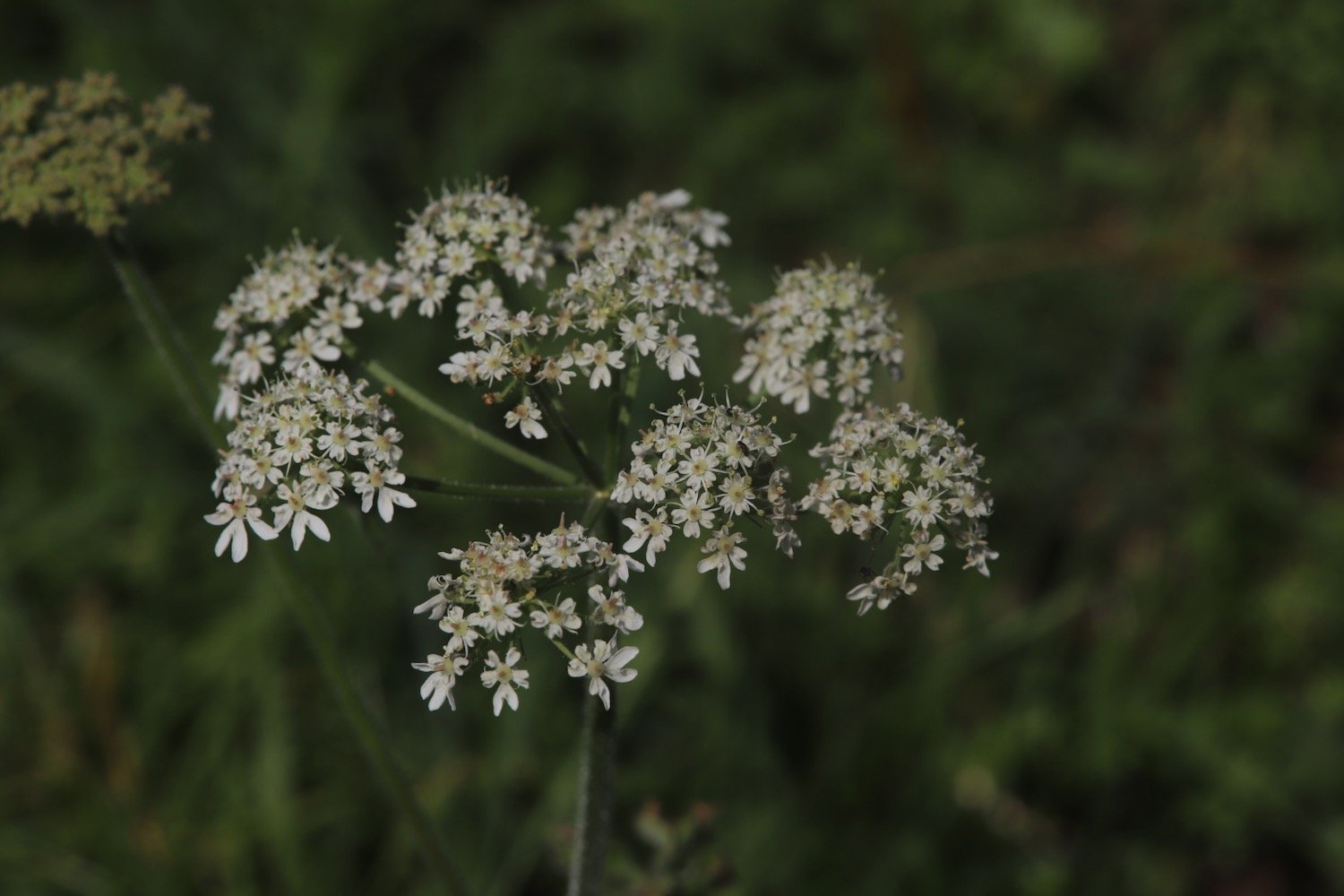
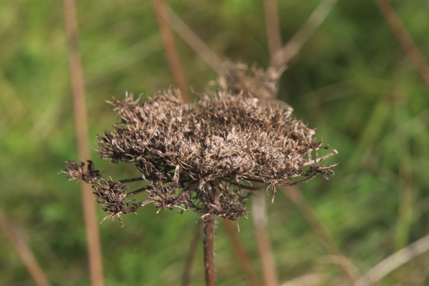
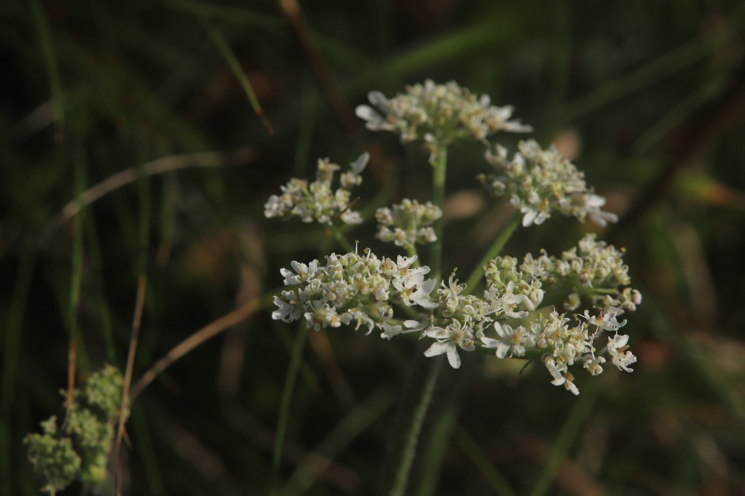
wild carrot
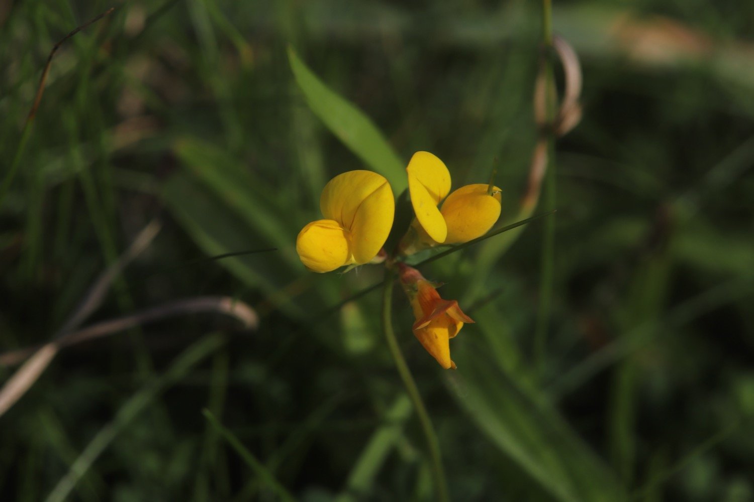
bird’s-foot trefoil
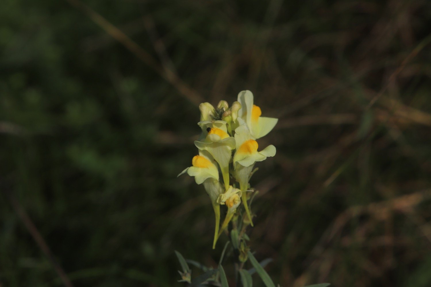
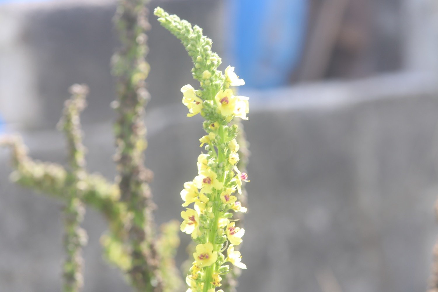
toadflax
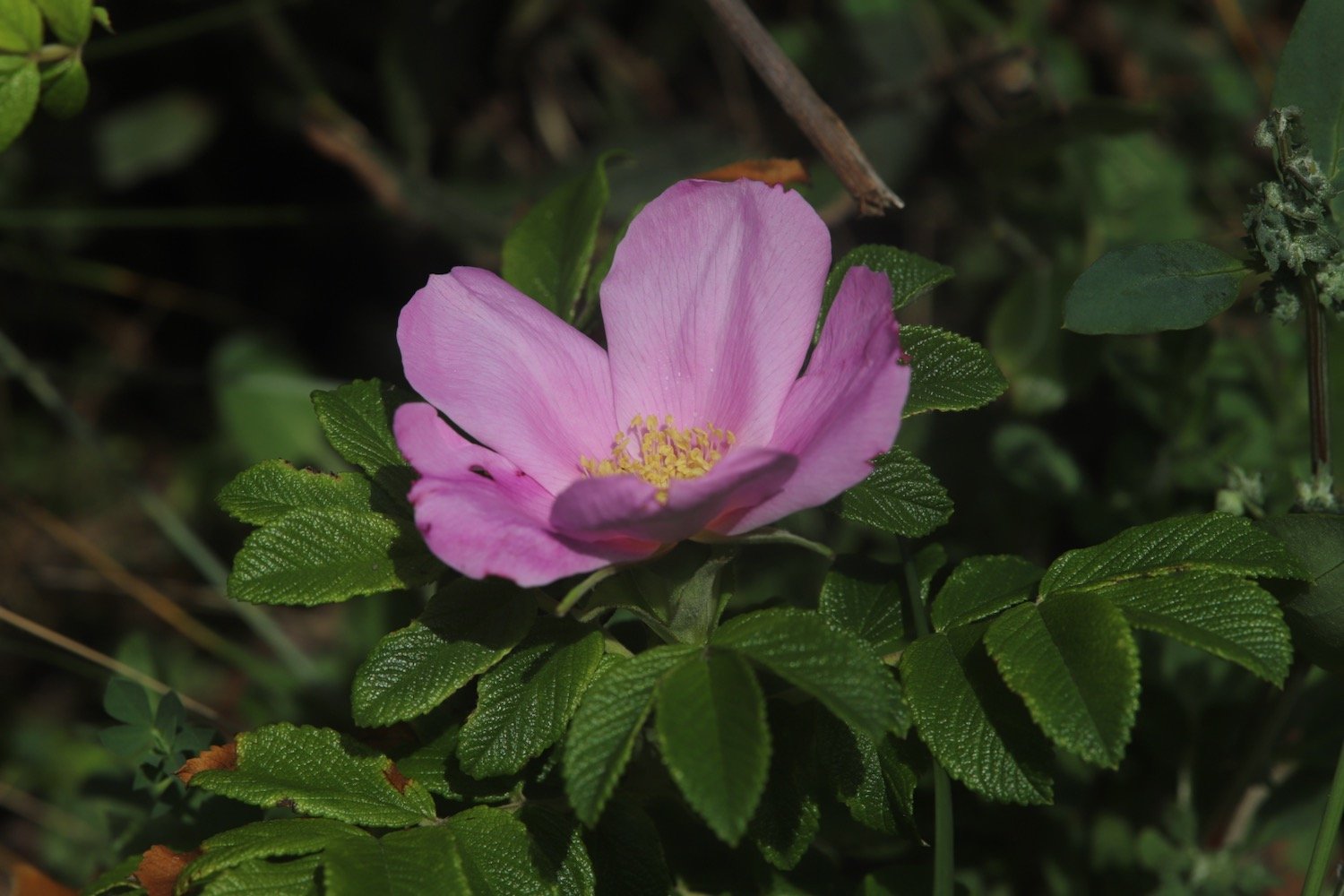
roses
red campion
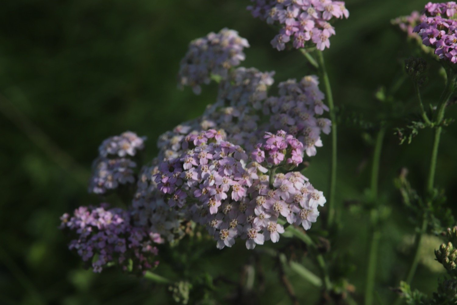
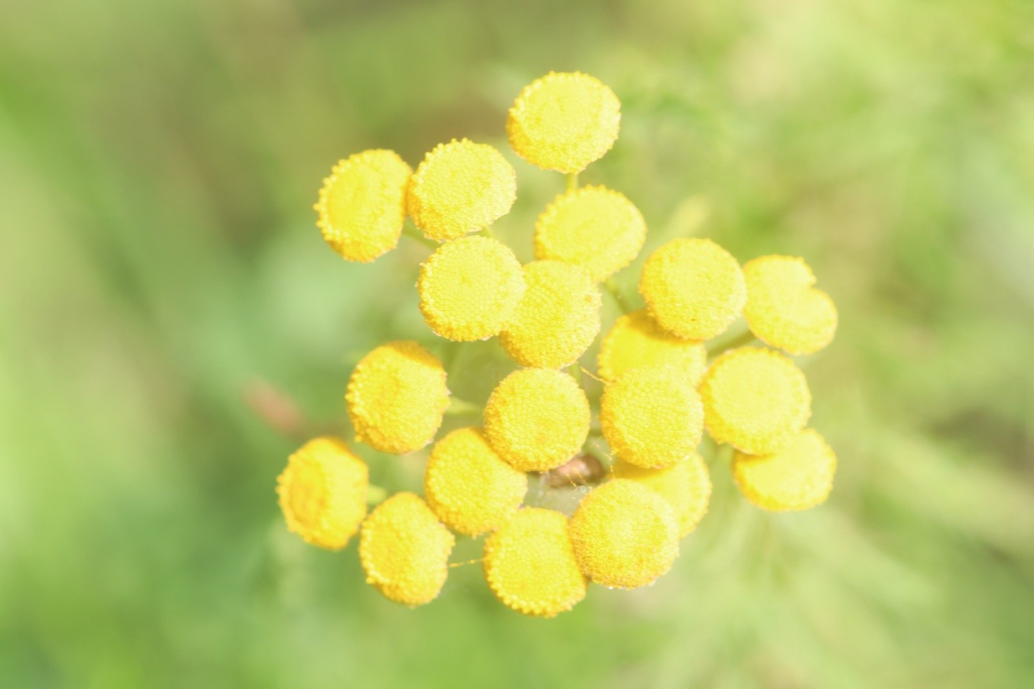
tansy
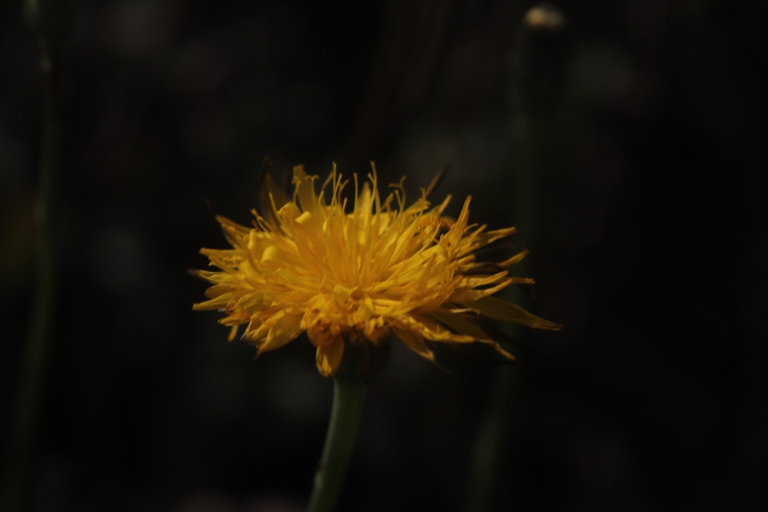
ragwort

PODCAST
The podcast of today's walk is now available. You can subscribe via Apple Podcasts or listen using the player below.

MARKS OUT OF TEN?
According to my phone I've walked a pathetic 5.5 miles which amounts to 13376 steps. It has taken me two hours 40 minutes. The weather has been magnificent but way too hot and it has been painful trying to walk on my injured foot. Eight out of ten!
WALK DETAILS
MAP
charlestown
carlyon bay
spit point beach
beach collection