fowey to par sands
south west coast path
wednesday, 6th september 2023
Start location: Fowey (SX 12612 51668)
End point: Par Sands (SX 08682 53048)
Map: Explorer 107
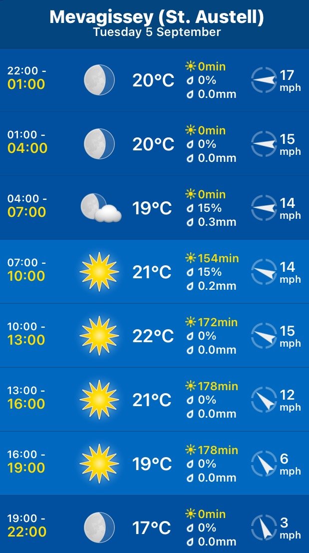
The weather forecast for the whole week looks to be fantastic although it’ll be way too hot for walking. It looks like today I'll have a lovely day of beautiful weather with sun forecast for all day long and barely a breath of wind.
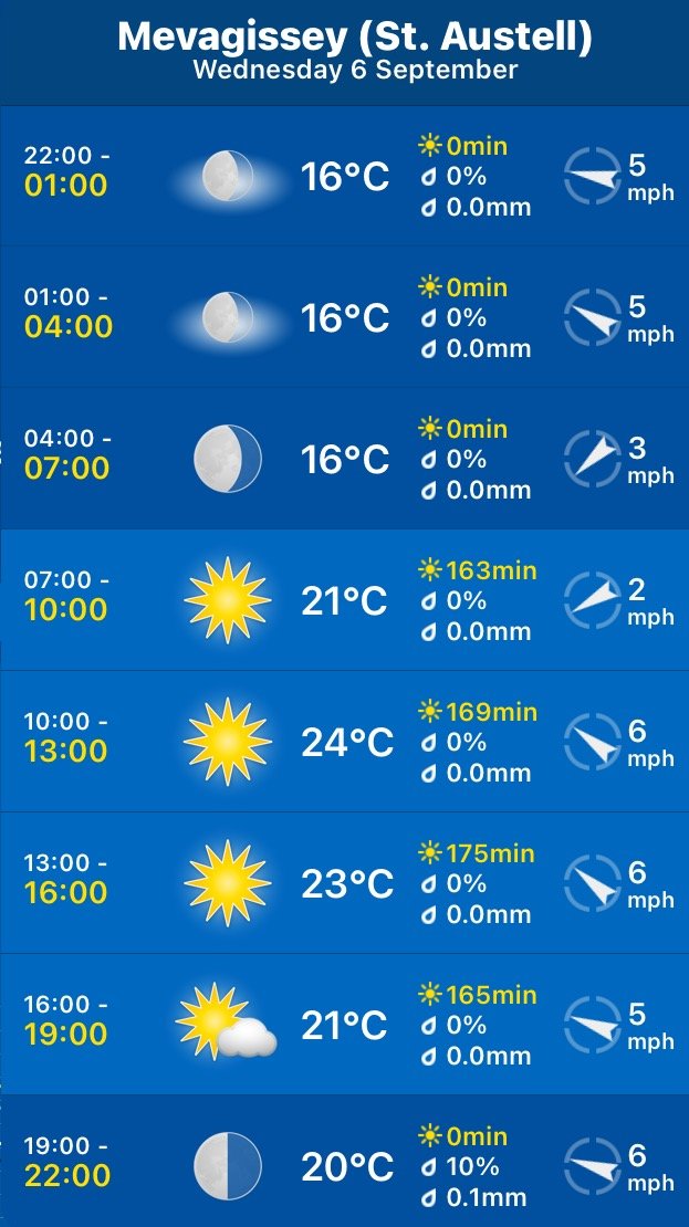
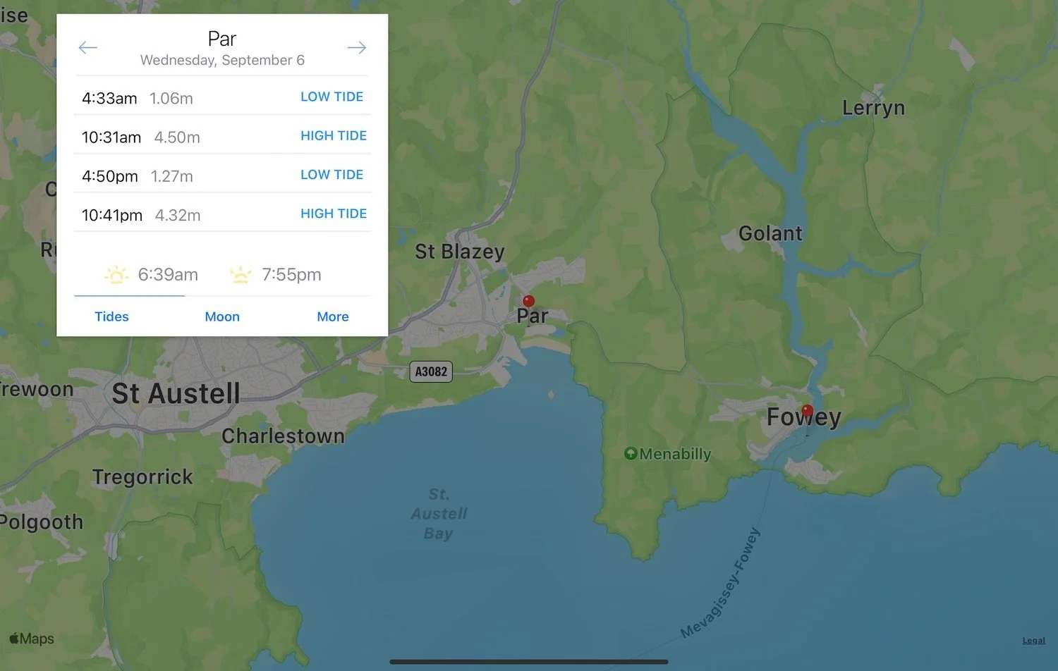
Par Sands high tide 10:31
Par Sands low tide 16:50
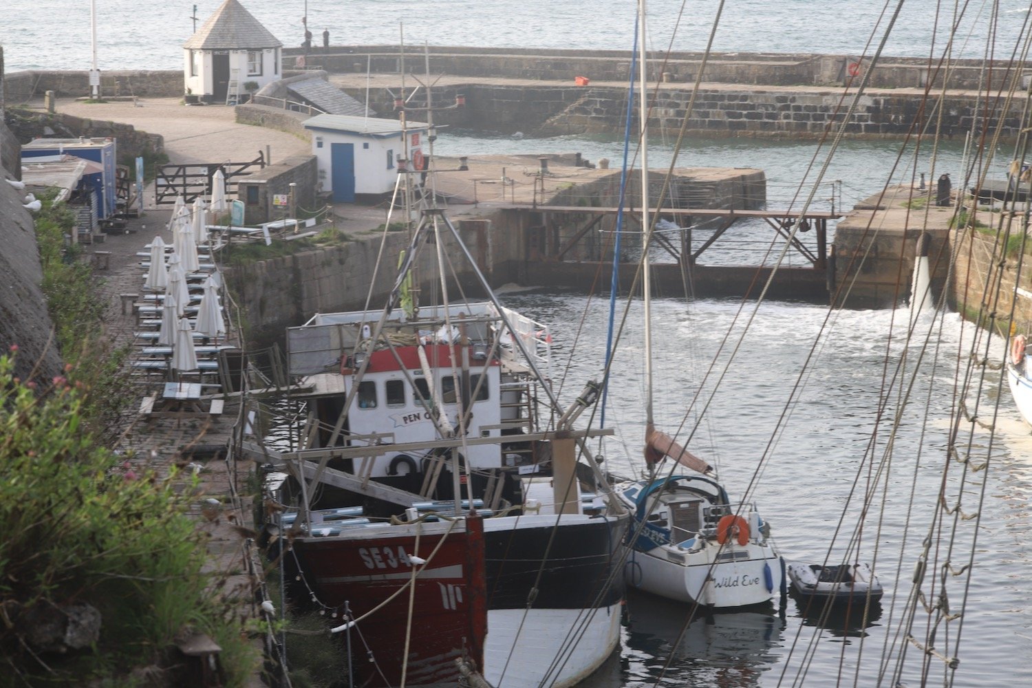
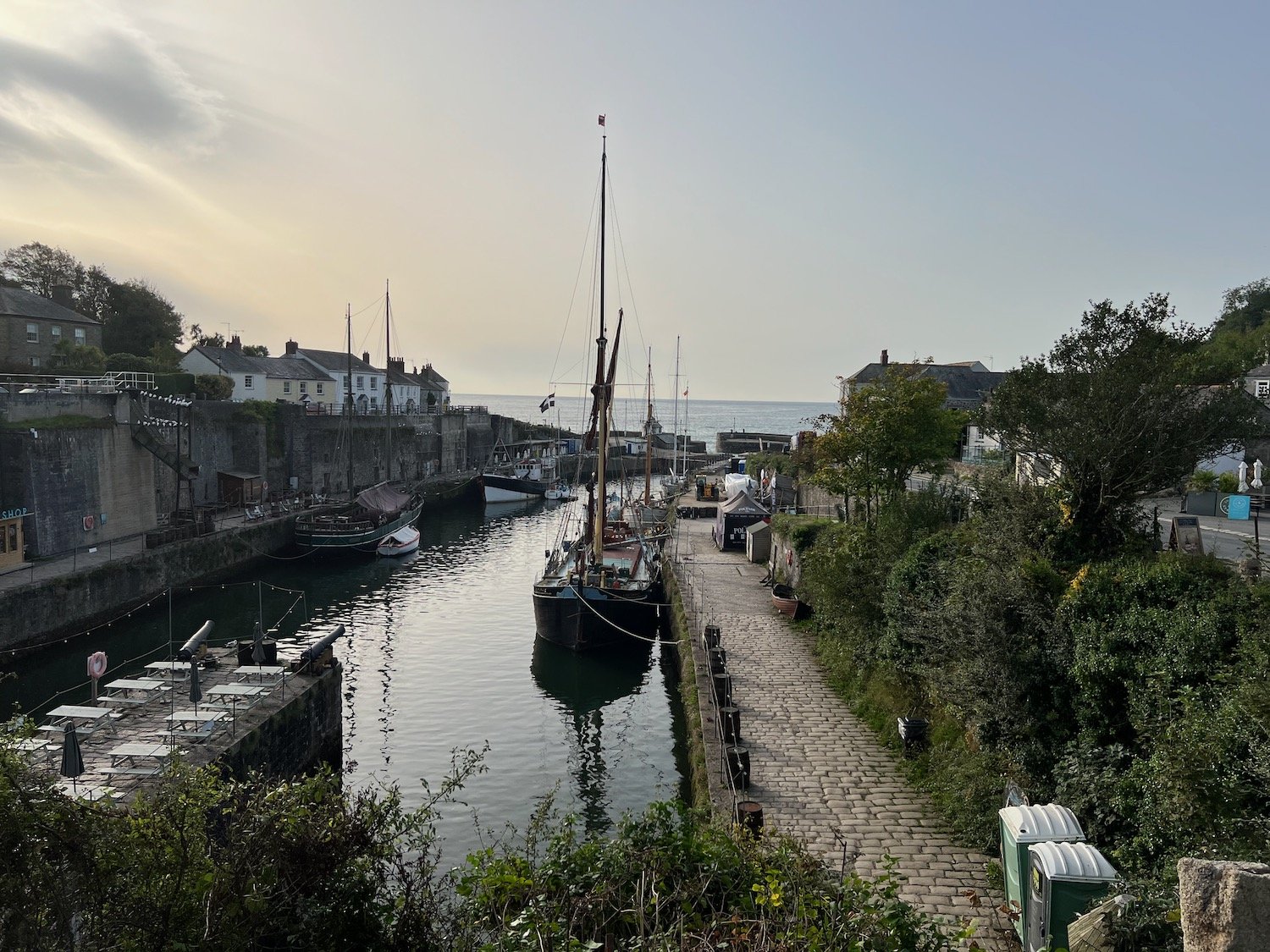
I start the day at the car park above Fowey where I wander down in to the main part of the town. All the buildings are rammed in tightly and the town is busy with lorry deliveries of beer barrels.
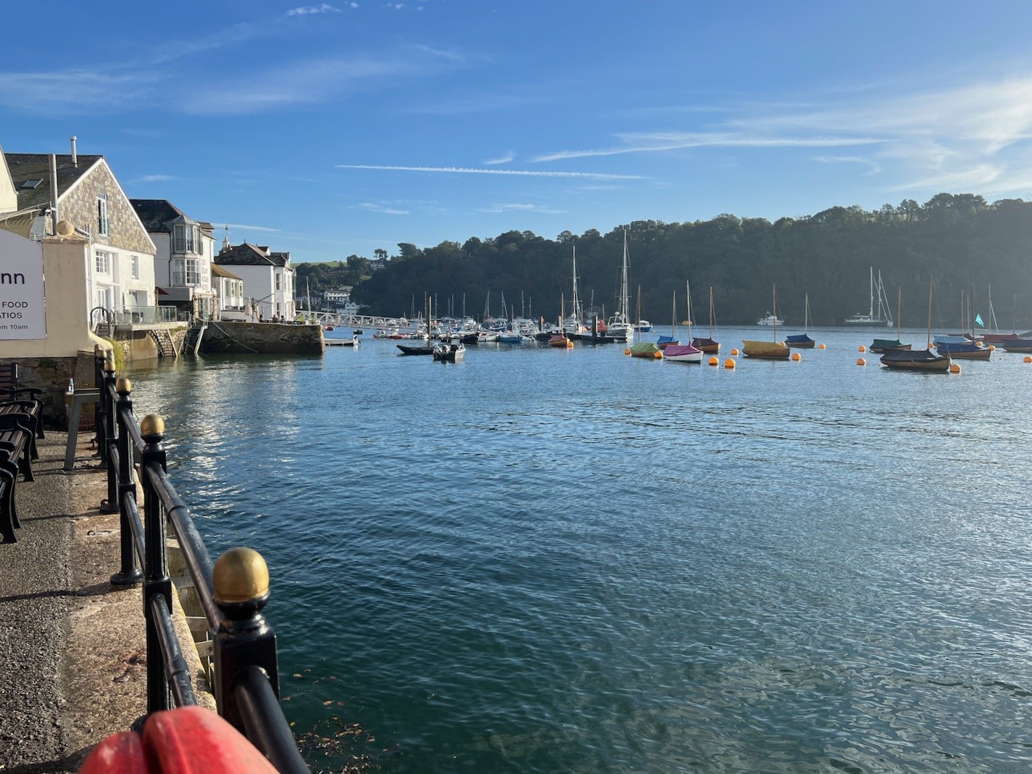
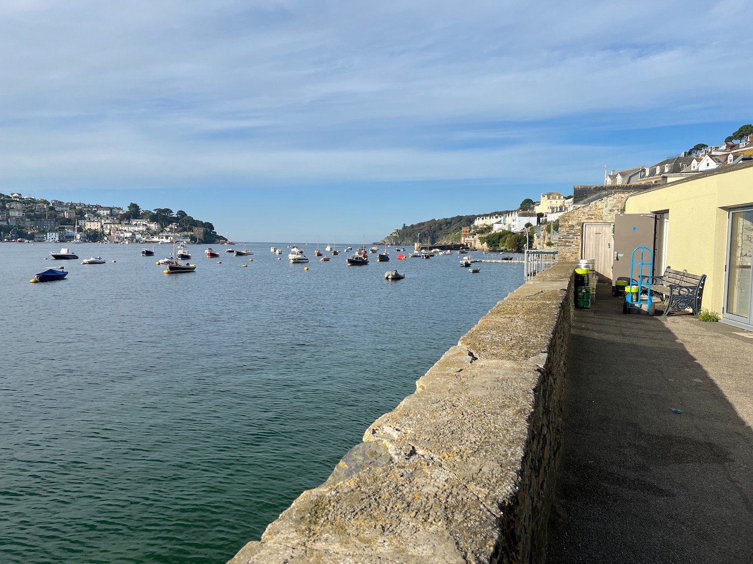
I head back up towards the car park and walk along the Esplanade where I pass the Fowey to Polruan ferry at Whitehouse.
whitehouse
At Whitehouse I have lovely views over to Polruan.
view to polruan
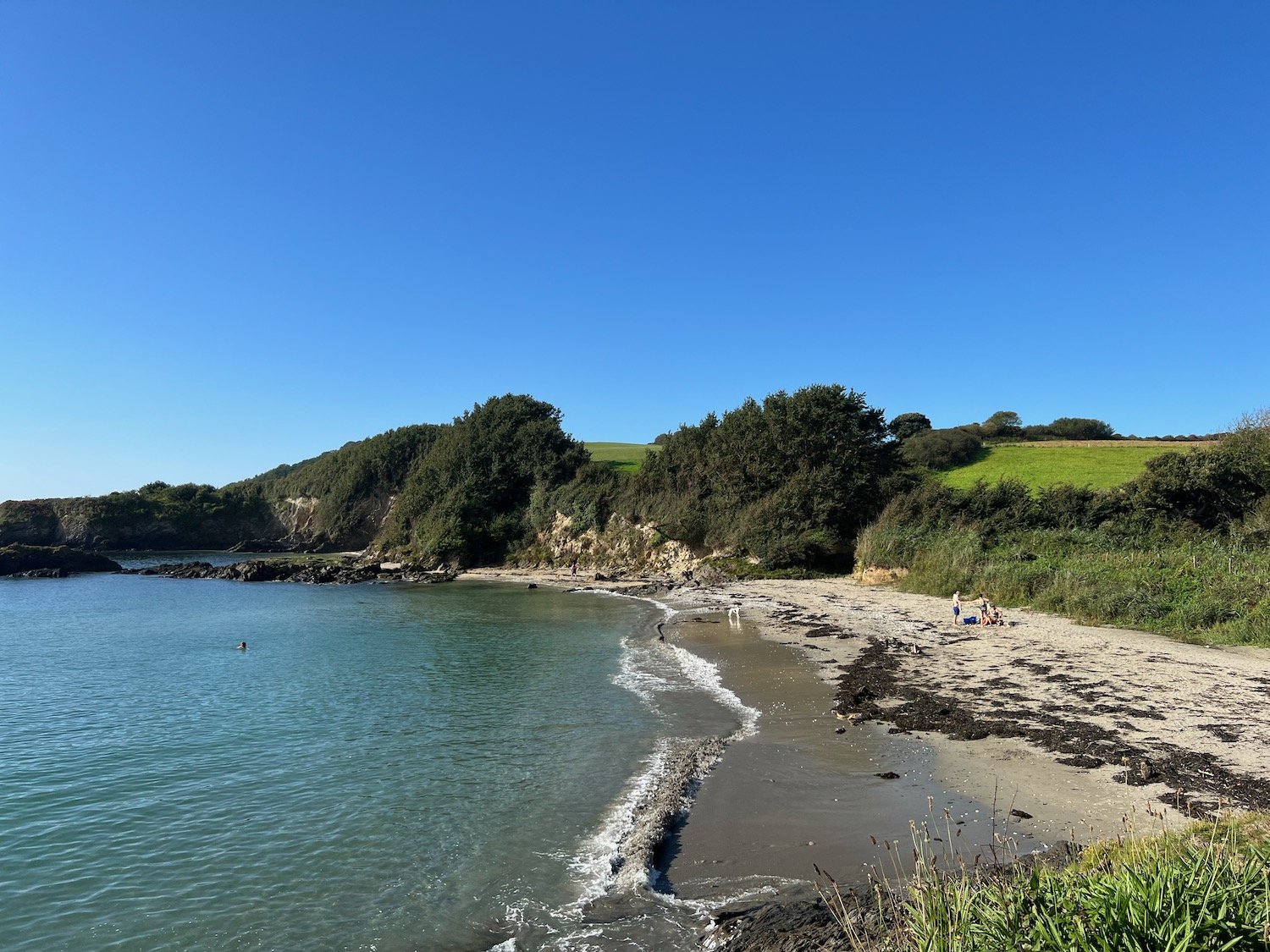
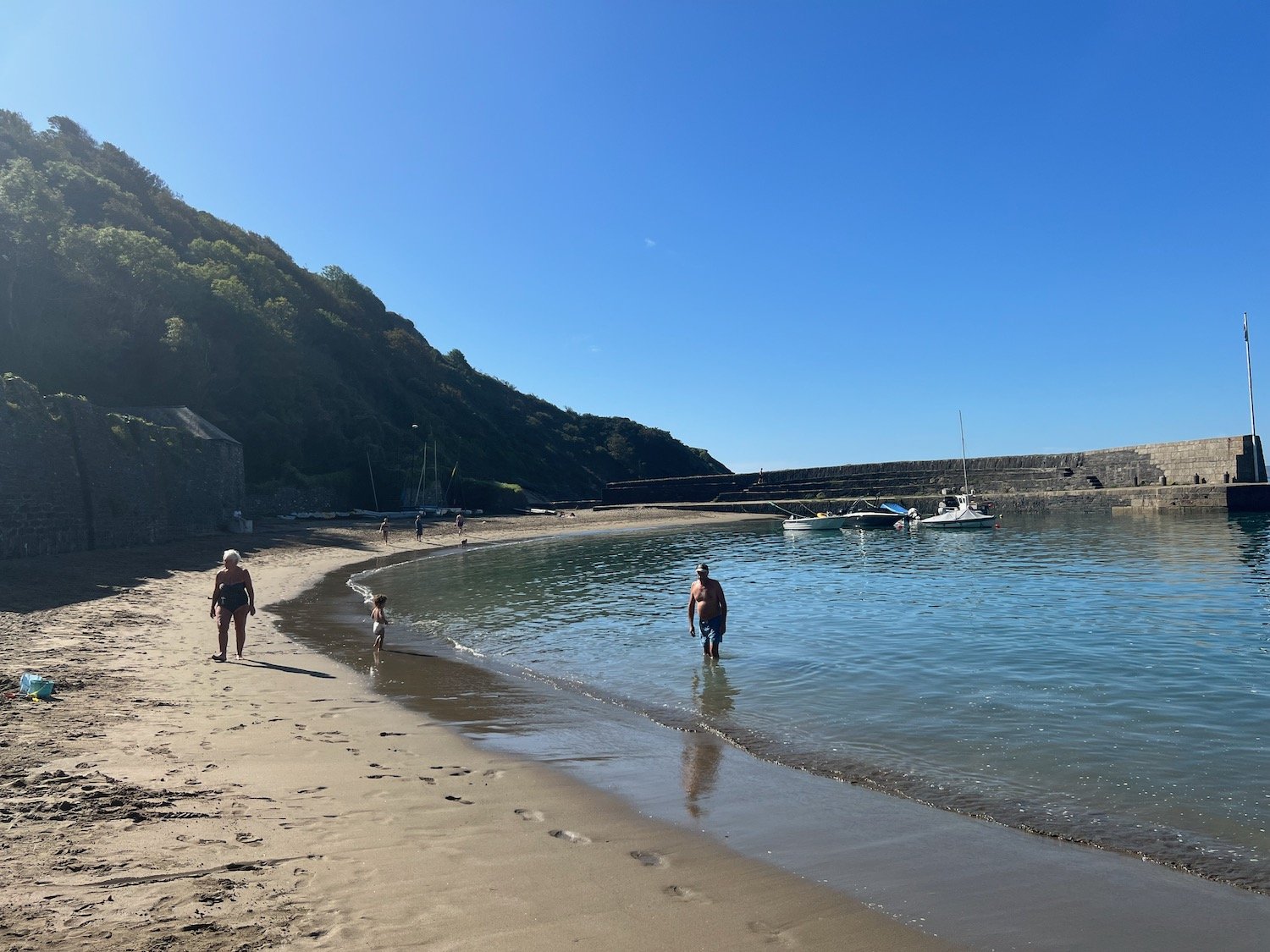
I head along Readymoney Road where I take up with local dog walkers and arrive at Readymoney Cove Beach, a small, sheltered sandy beach.
readymoney cove
readymoney cove
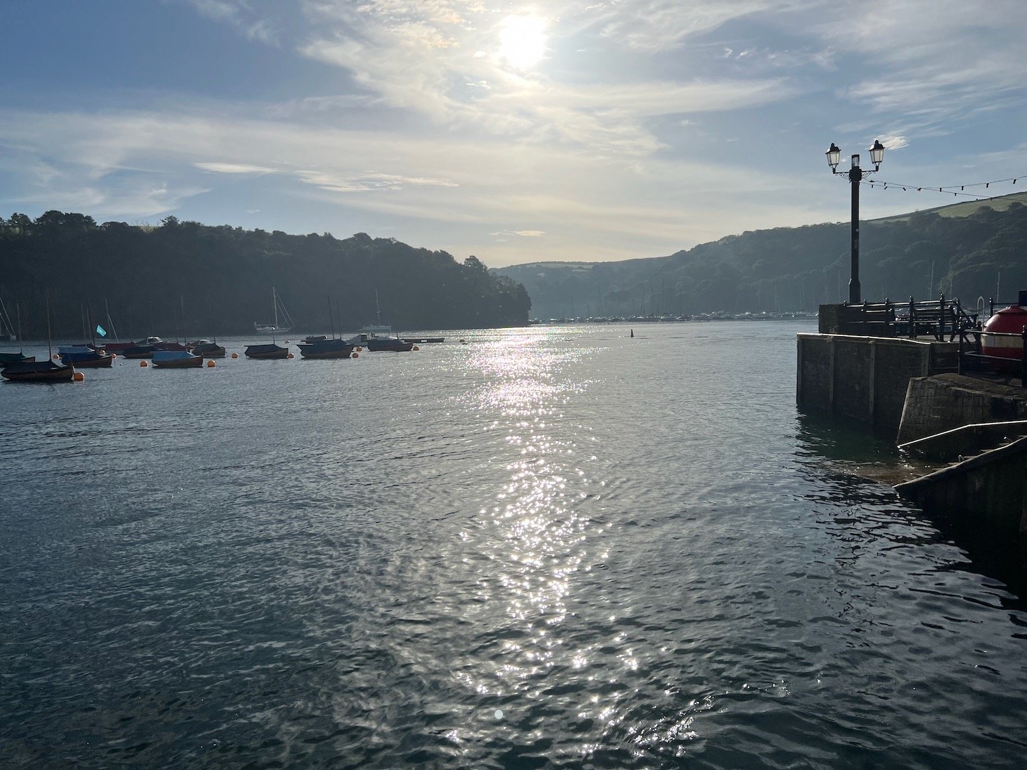
I leave Readymoney Cove and now have lovely views over to Polruan and up the River Fowey.
view back to polruan
view back to fowey
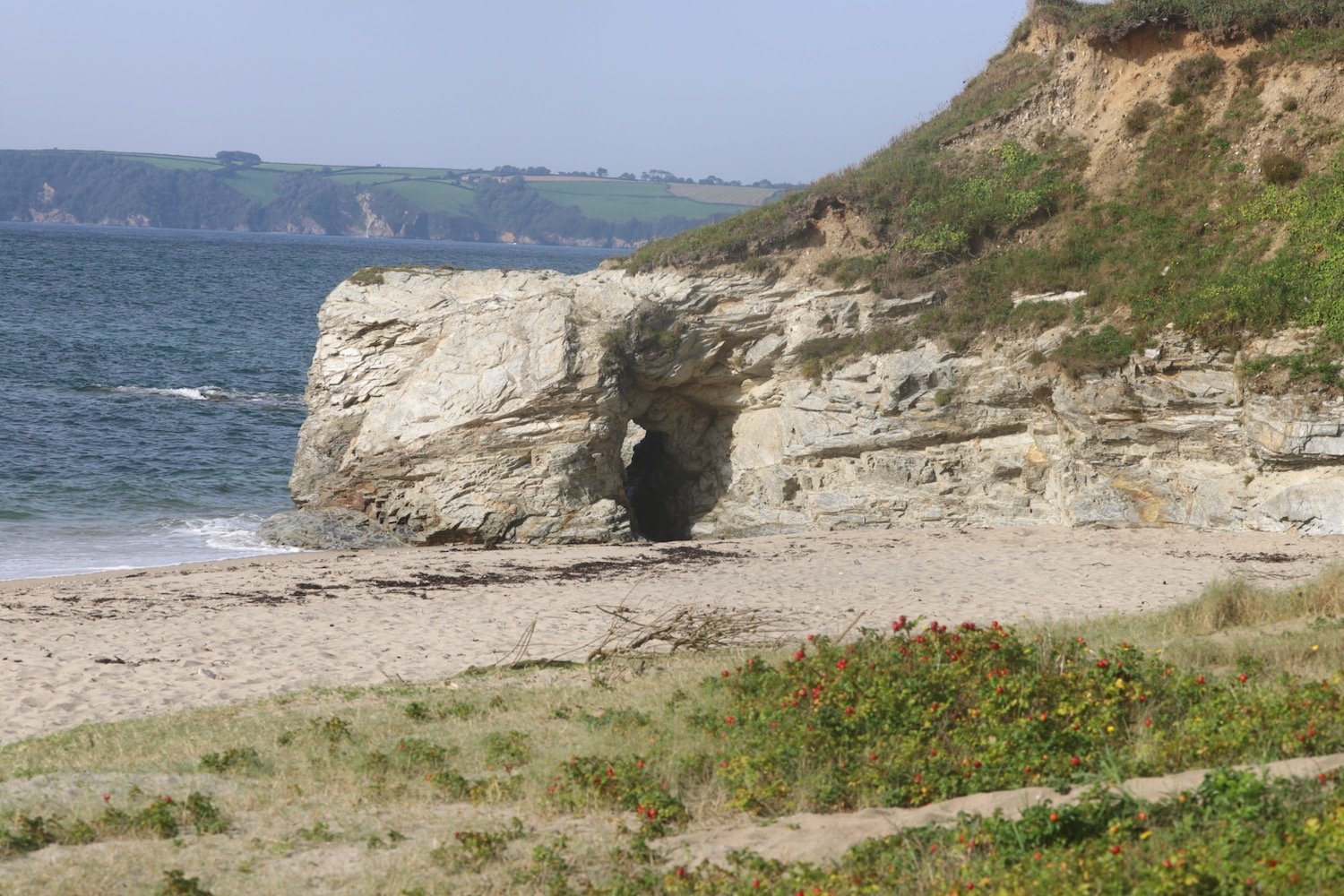
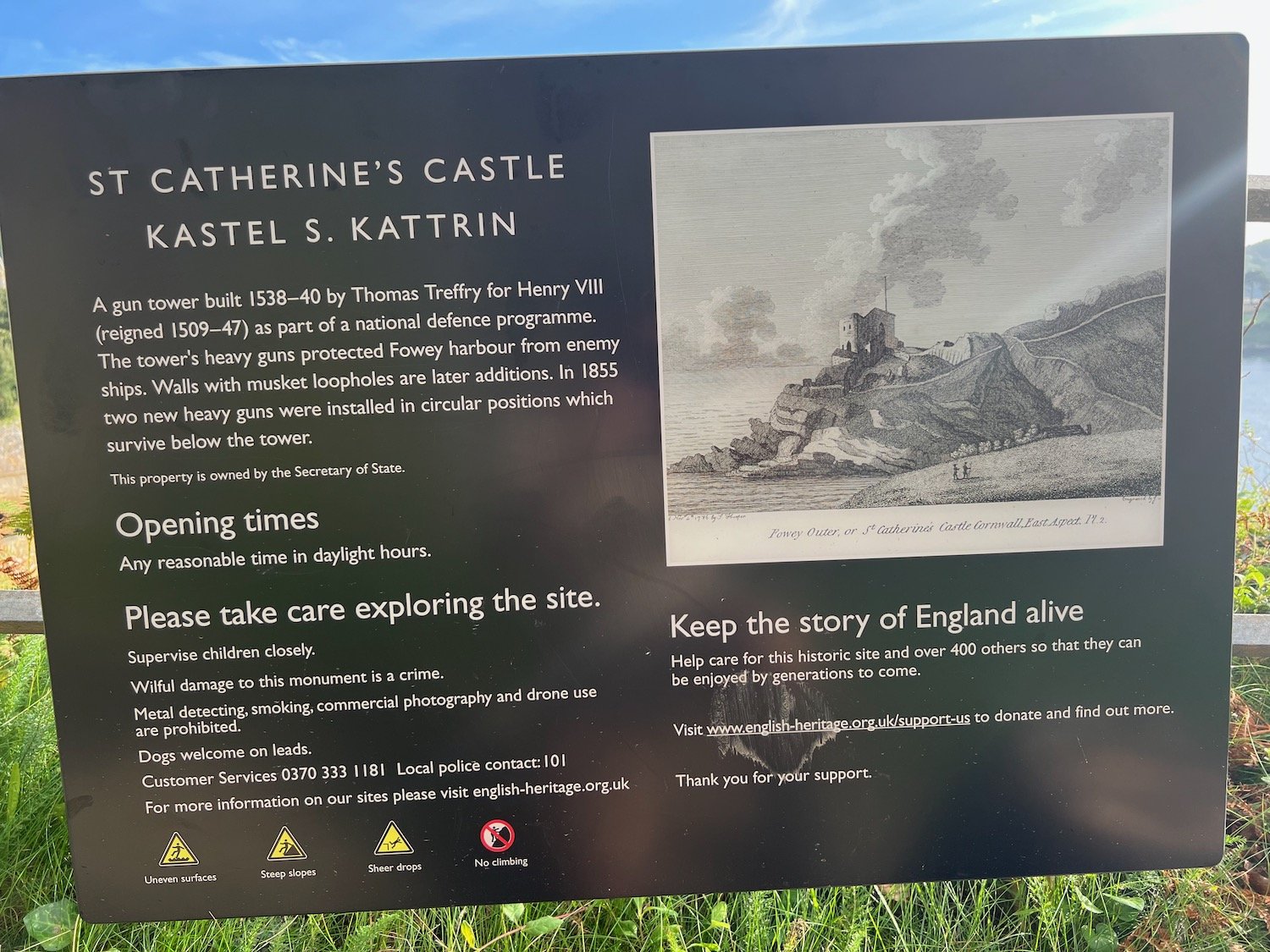
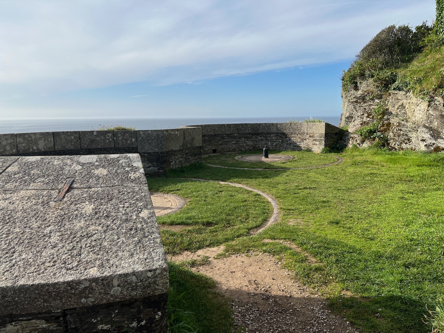
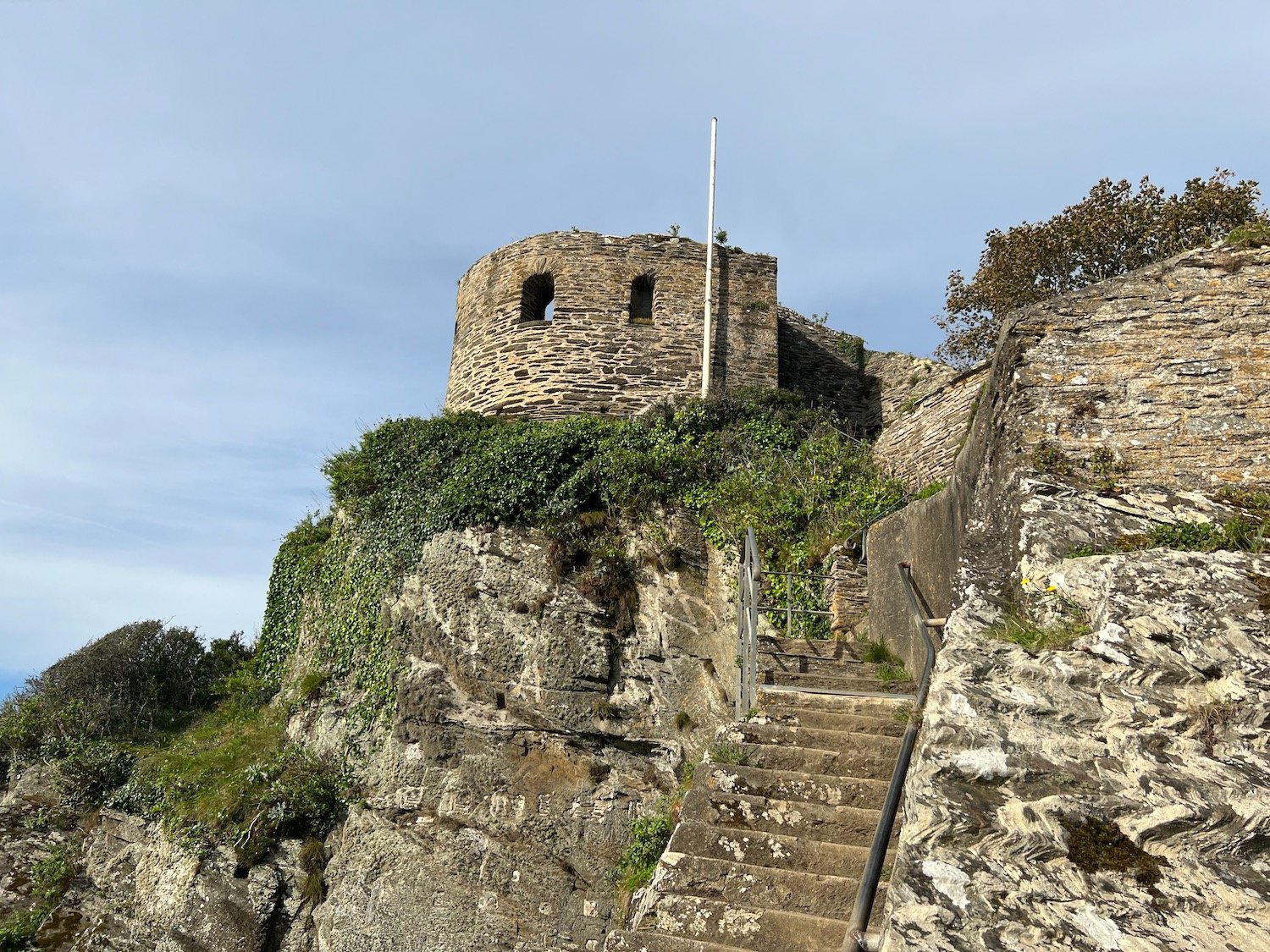
I pass the remains of St Catherine's Castle, one of a pair of small artillery forts built by Henry VIII in the 1530s to defend Fowey Harbour.
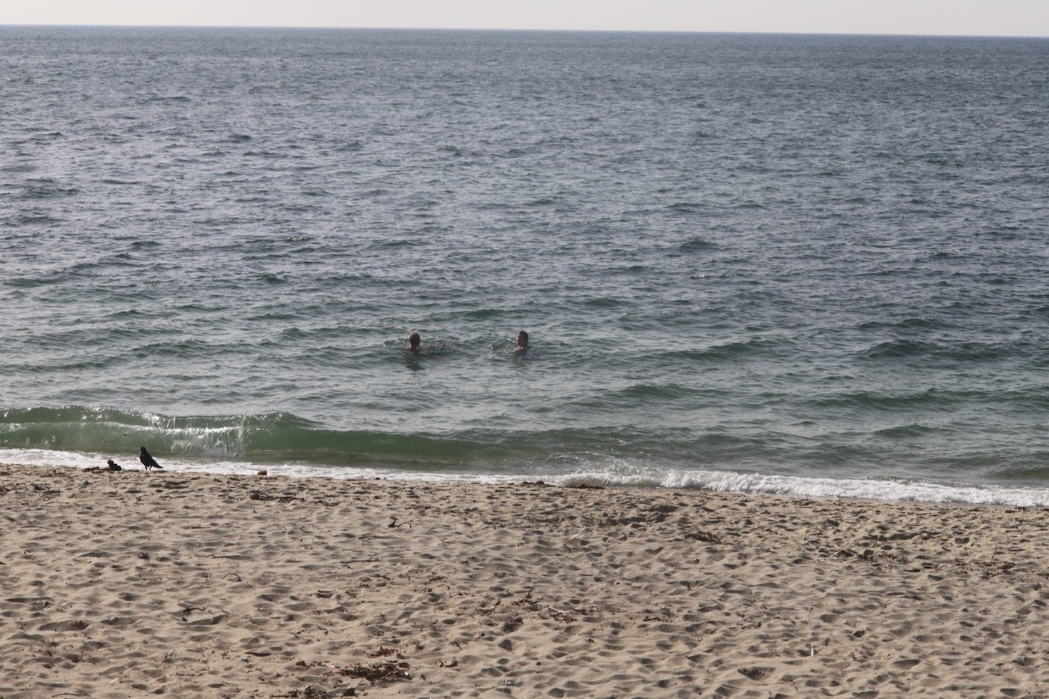
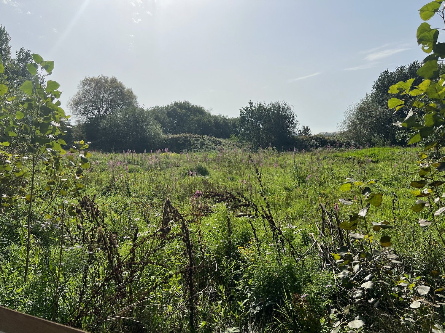
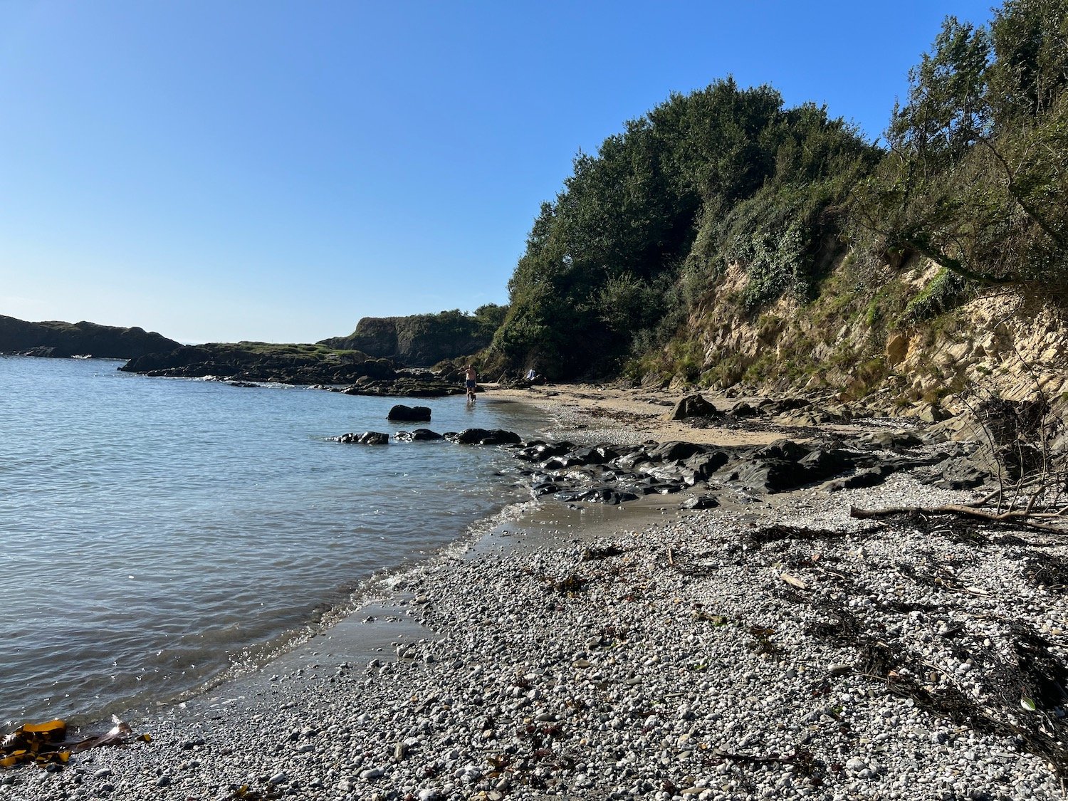
I pass over Penventinue Cove and then pass Coombe Haven which is completely deserted except for some stranded jellyfish. I head up onto Southground Cliffs and Lankelly Cliff.
coombe haven

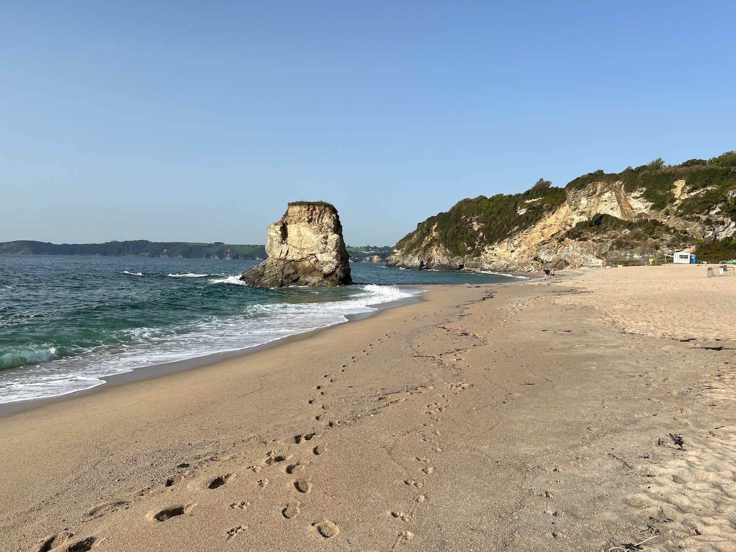
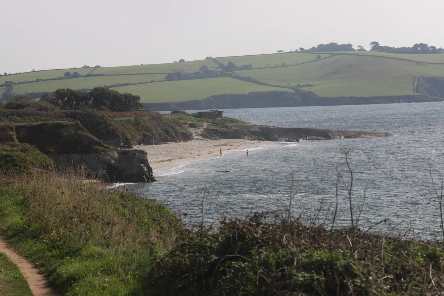
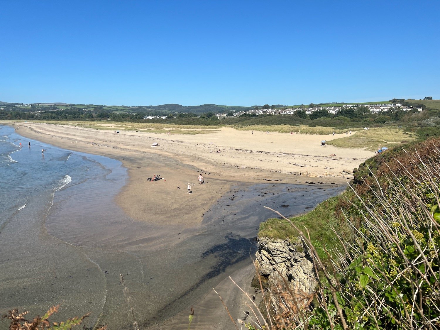
The path descends to the south facing beach at Polridmouth Cove, which actually consists of two beaches. From the first beach I can see the beacon on Gribbin Head and I then follow the sea wall to reach the second beach which has a few people on it.
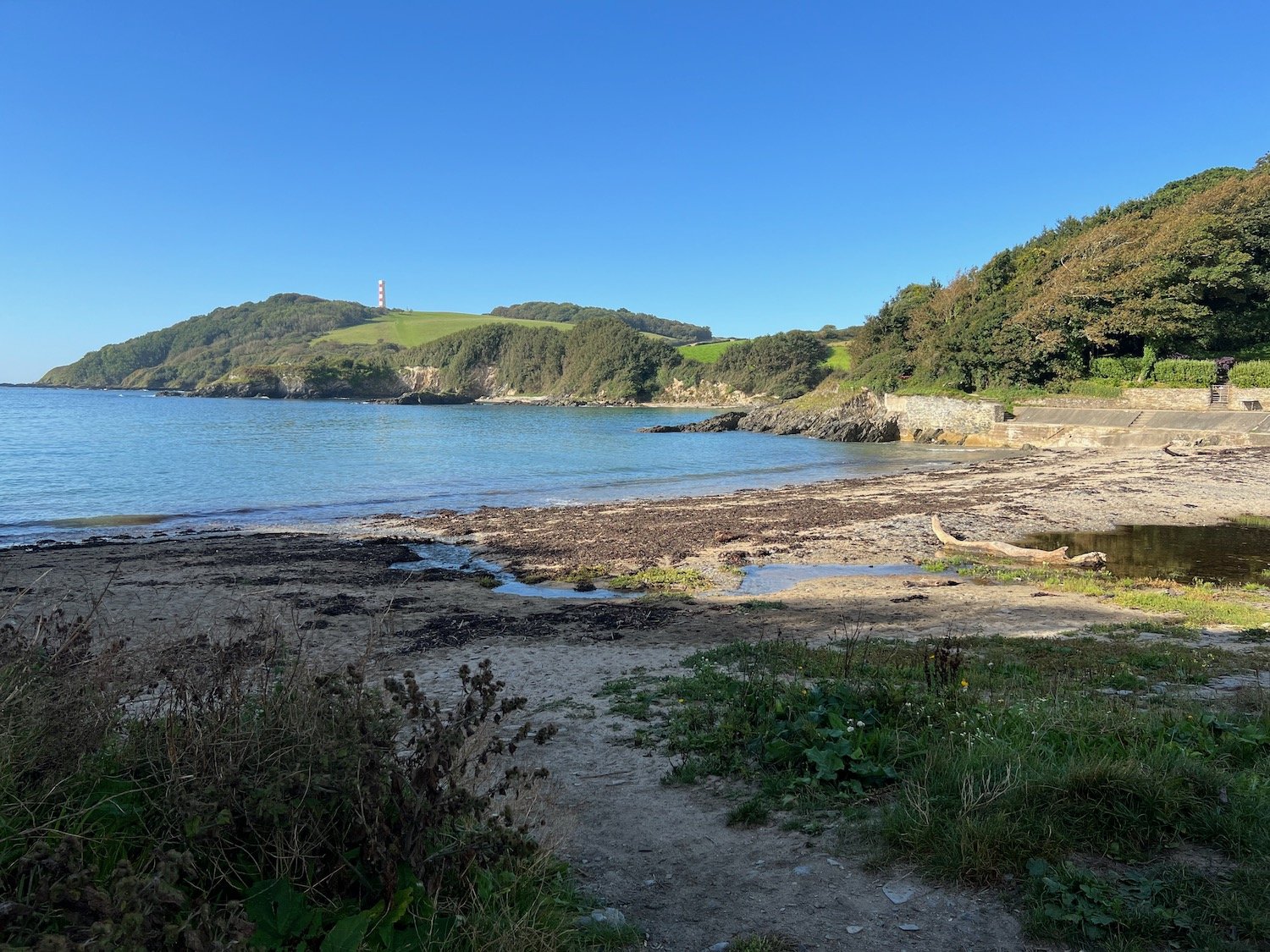

I climb grassy slopes at The Gribbin and pass below the 84 foot red and white Gribbin daymark, erected in 1832, enabling sailors to pinpoint the approach to Fowey's harbour.
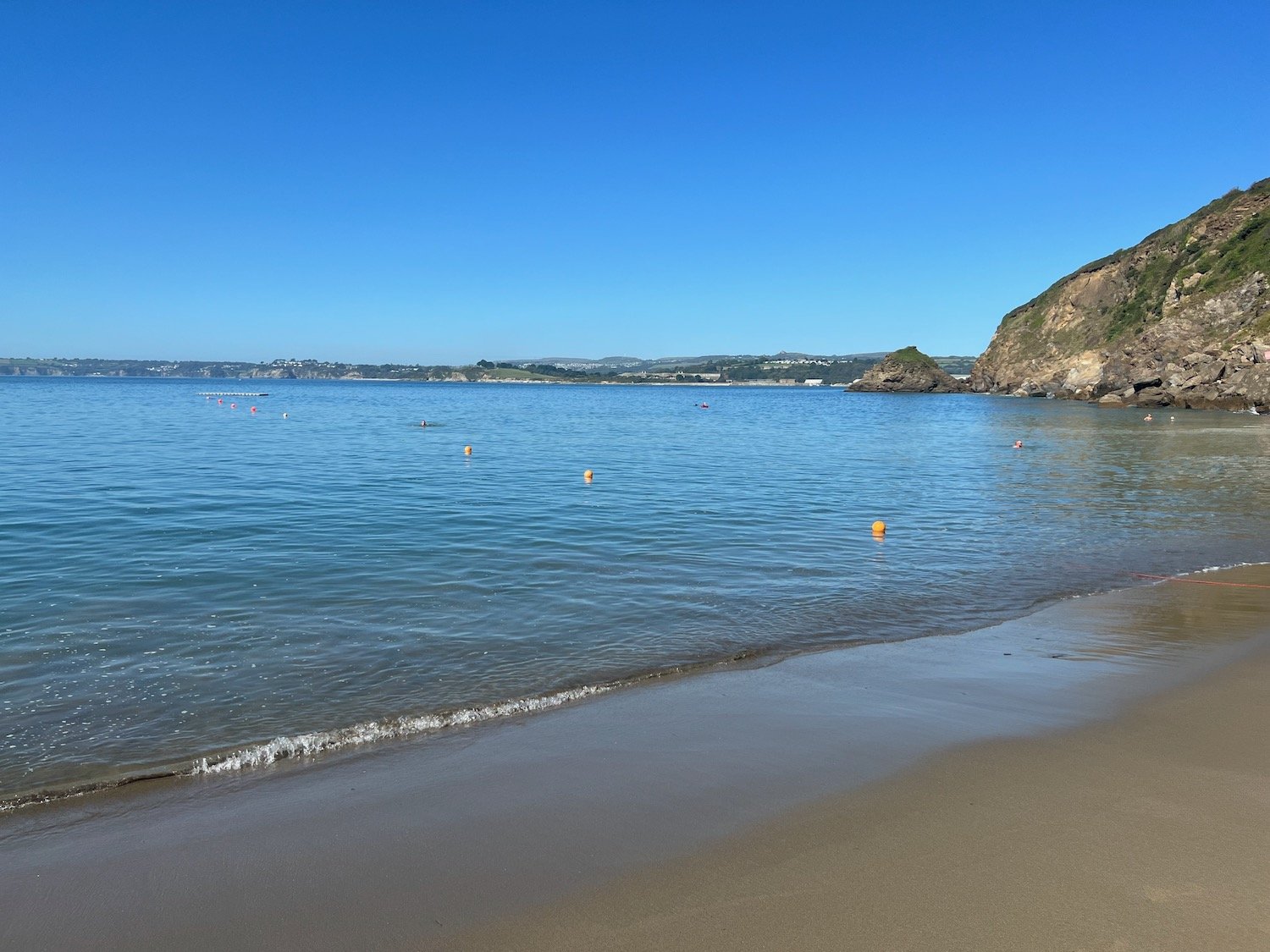
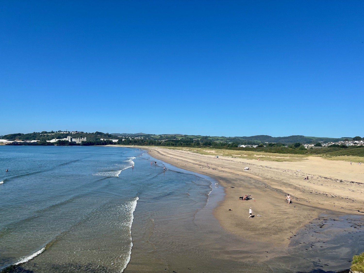
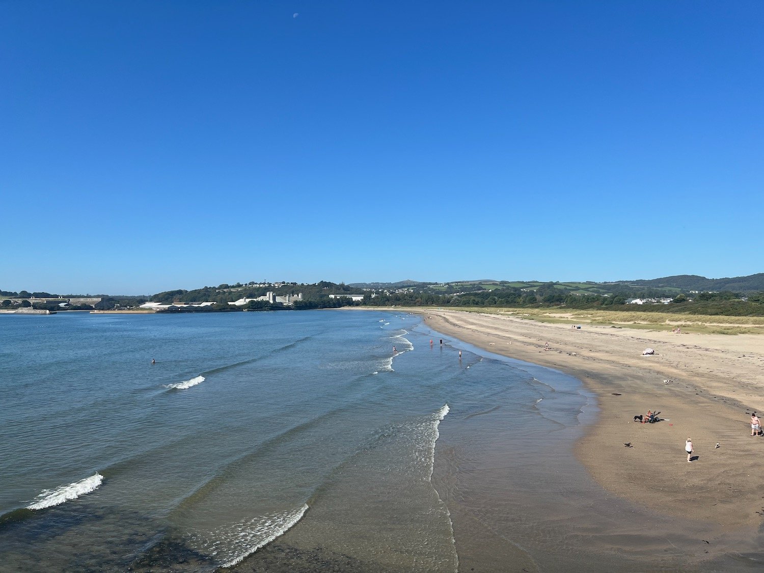
I now have fine views over St Austell Bay where I can make out Par Sands, Carlyon Bay, Charlestown, Du Porth and Porthpean.
st austell bay
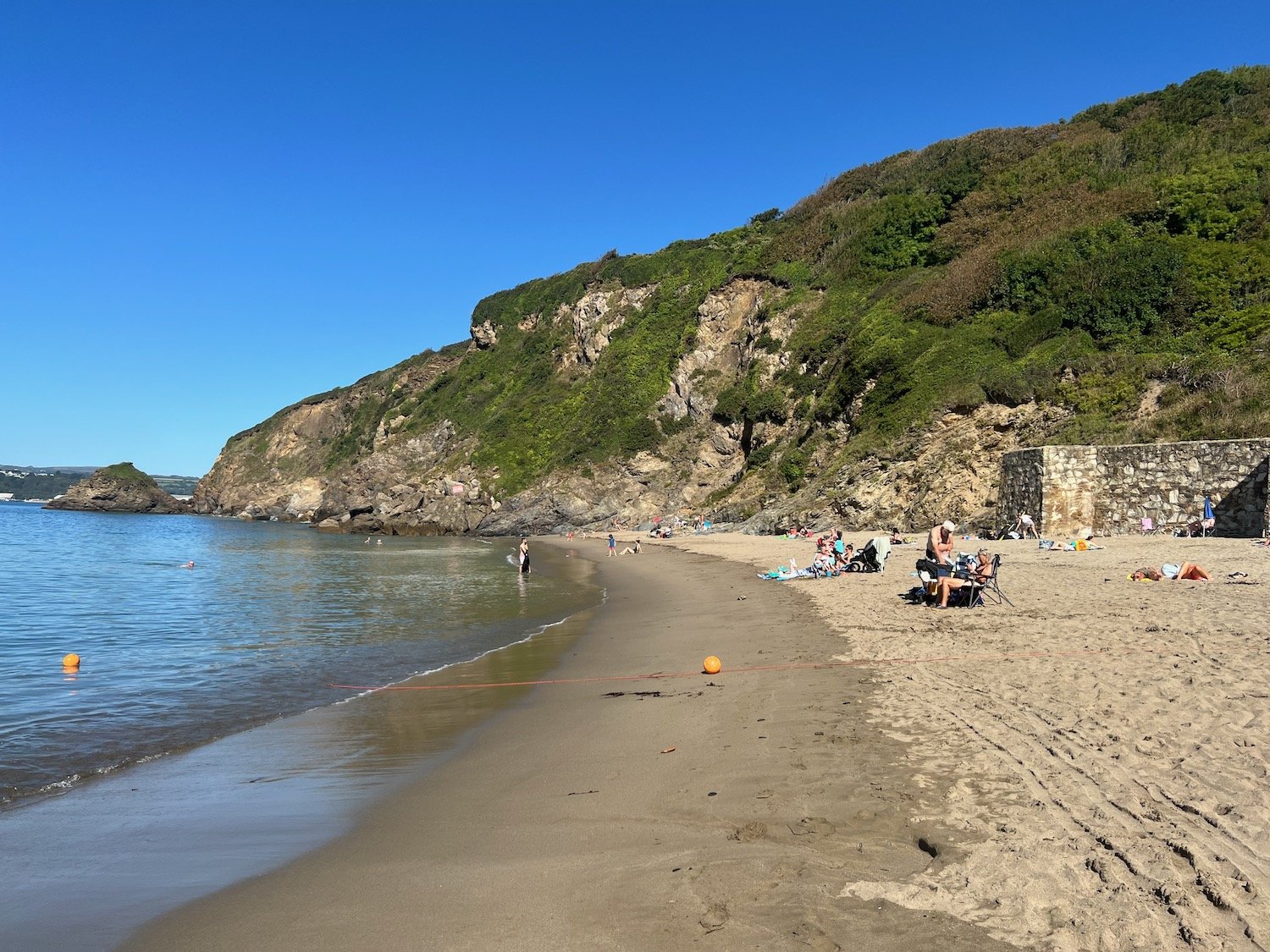
I continue along the cliffs and drop down to the beach at Polkerris. Here you can find the Rashleigh Inn where thirsty walkers can stop for a nice pint.
rashleigh inn
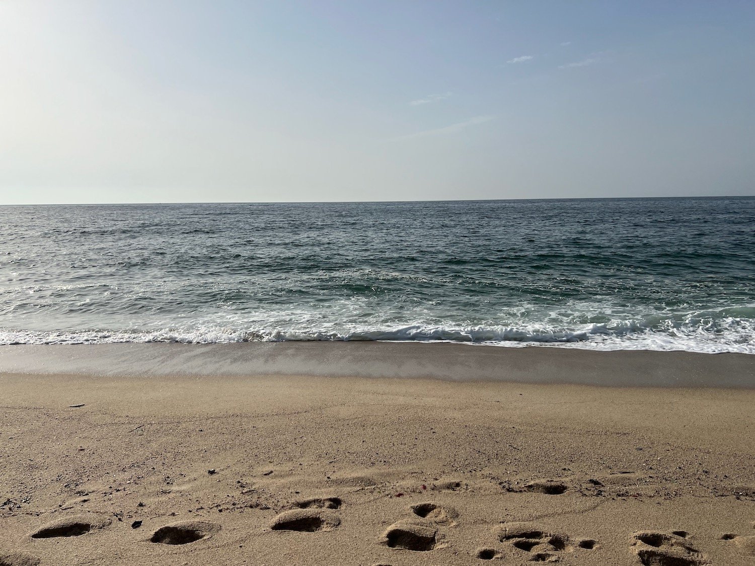
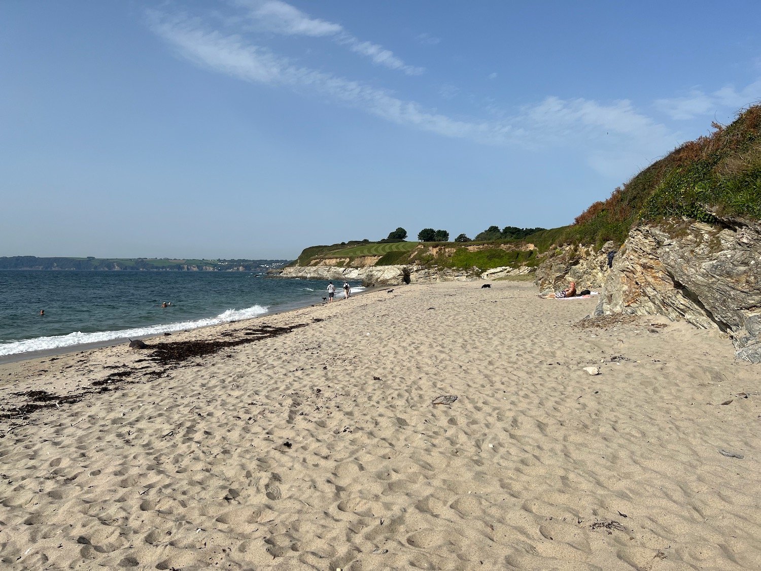
I enjoy the beach for a while which is getting quite busy. A sandy, crescent shaped, south west facing beach can be found here.
I head up the slipway passing Sams on the Beach which is based in the old Polkerris lifeboat station.
sams on the beach
I climb out of Polkerris and I have lovely views back over the harbour.
polkerris harbour
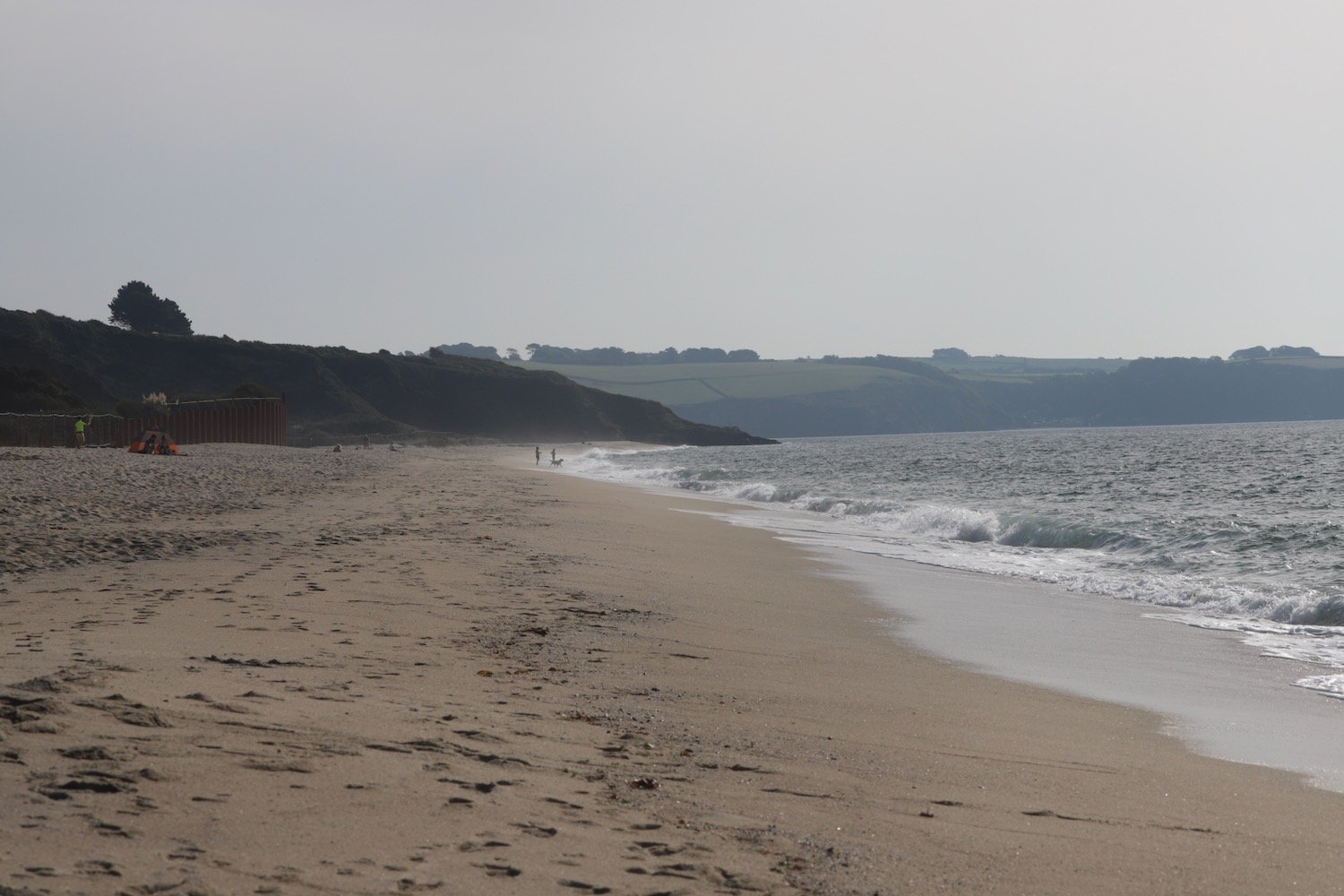
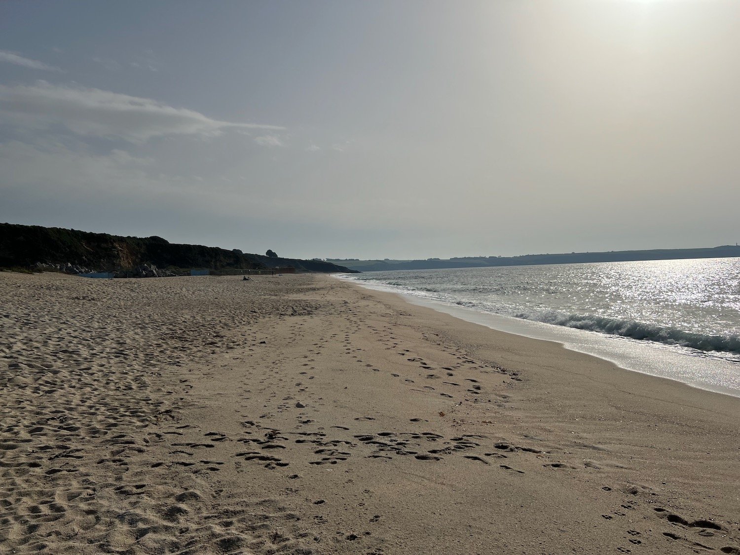
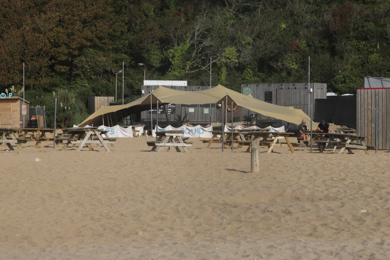
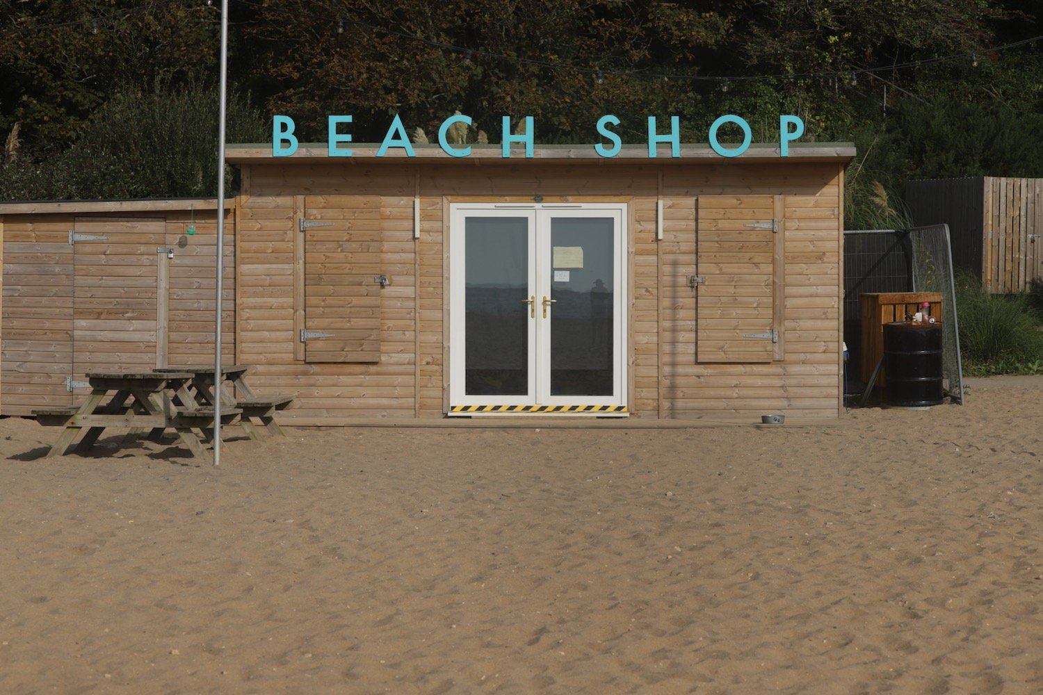
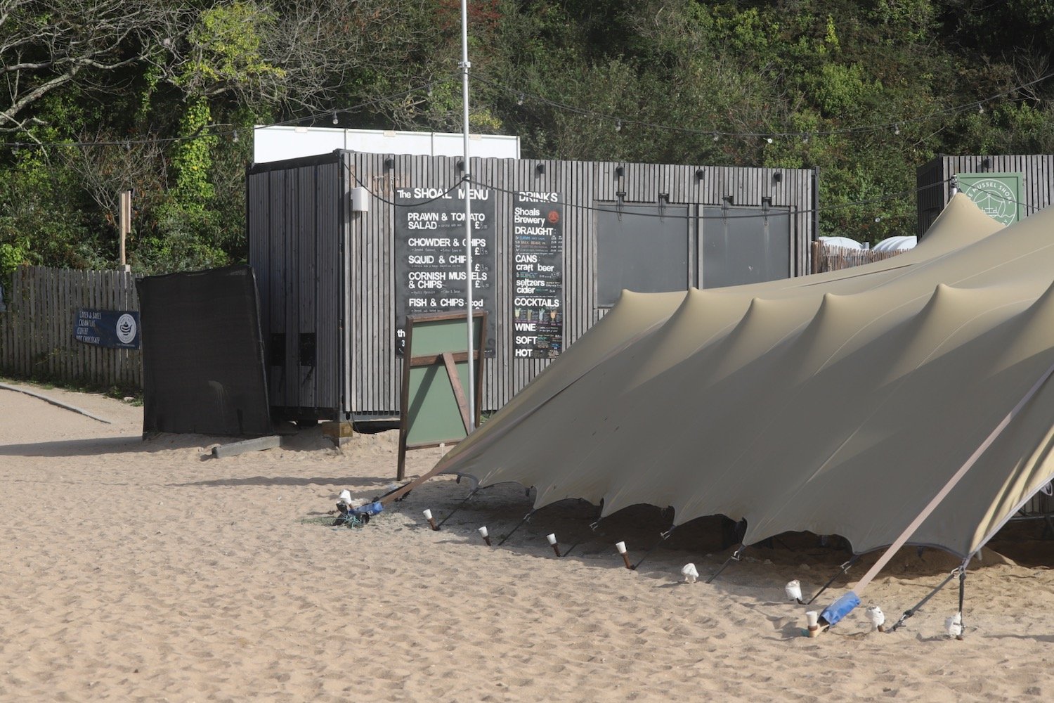
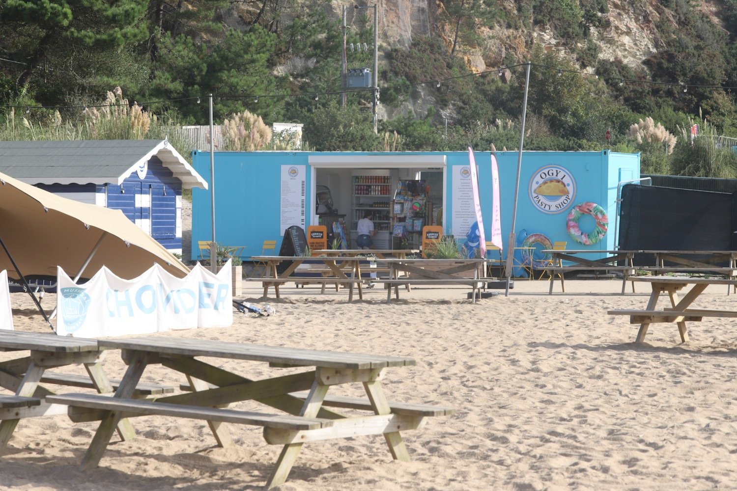
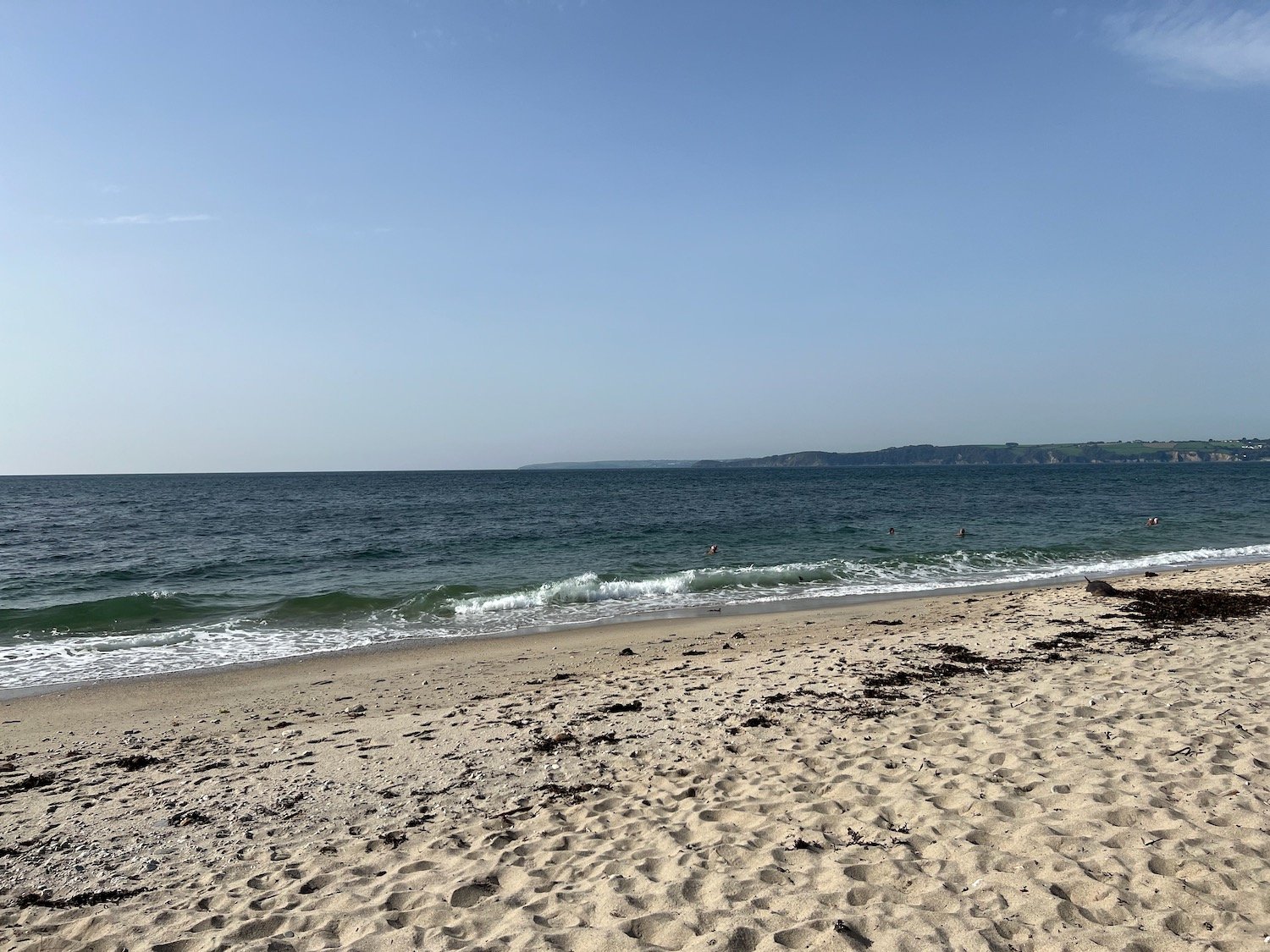
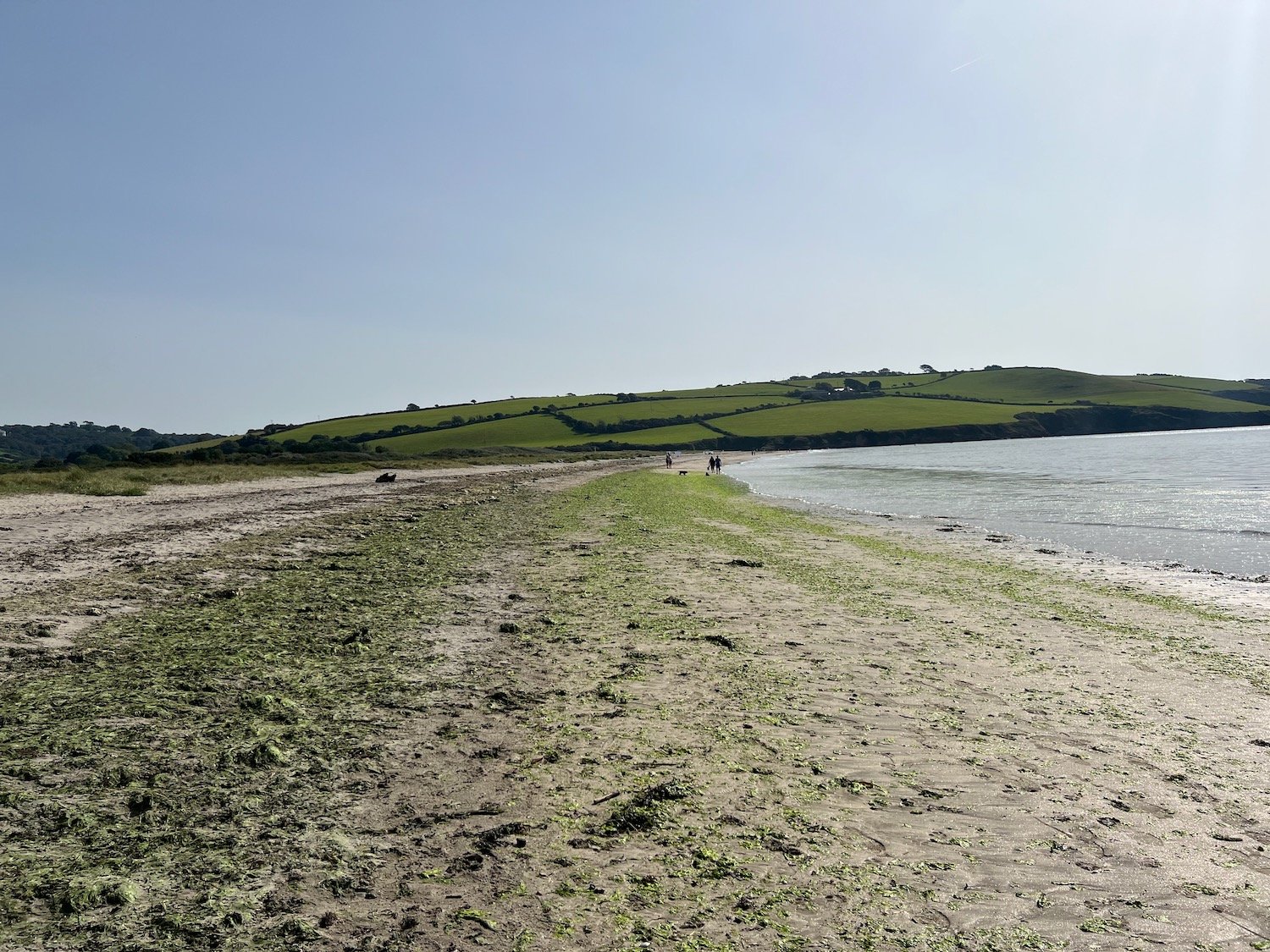
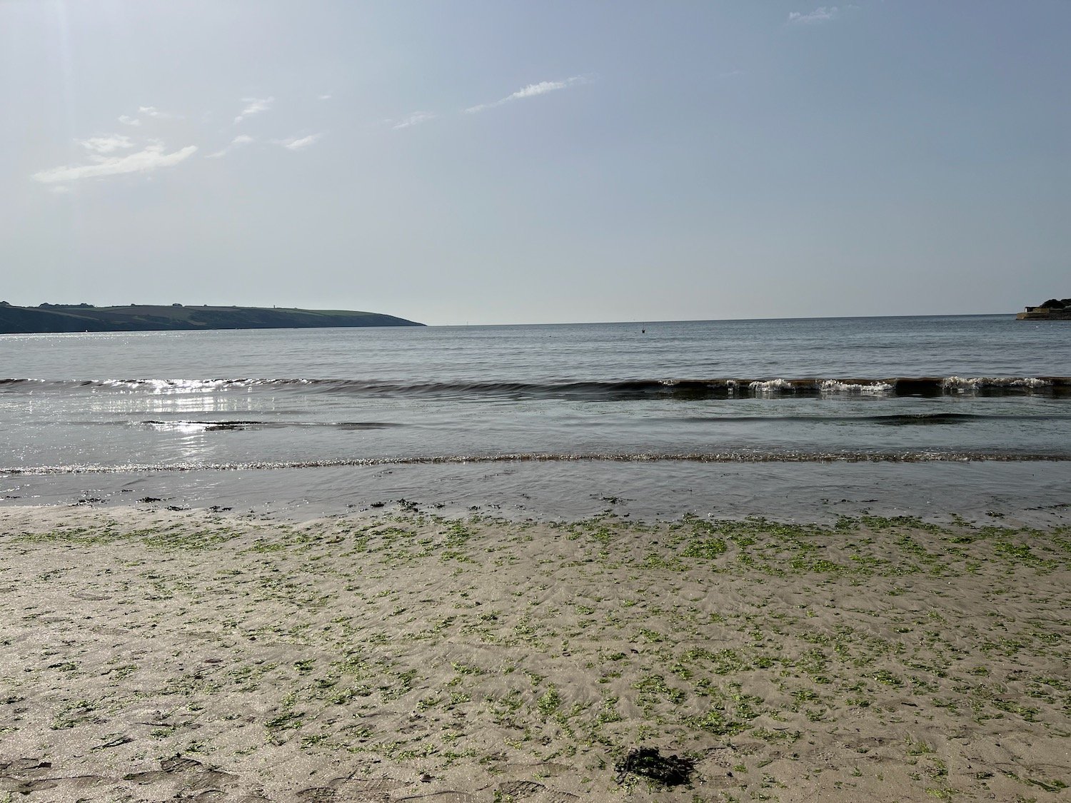
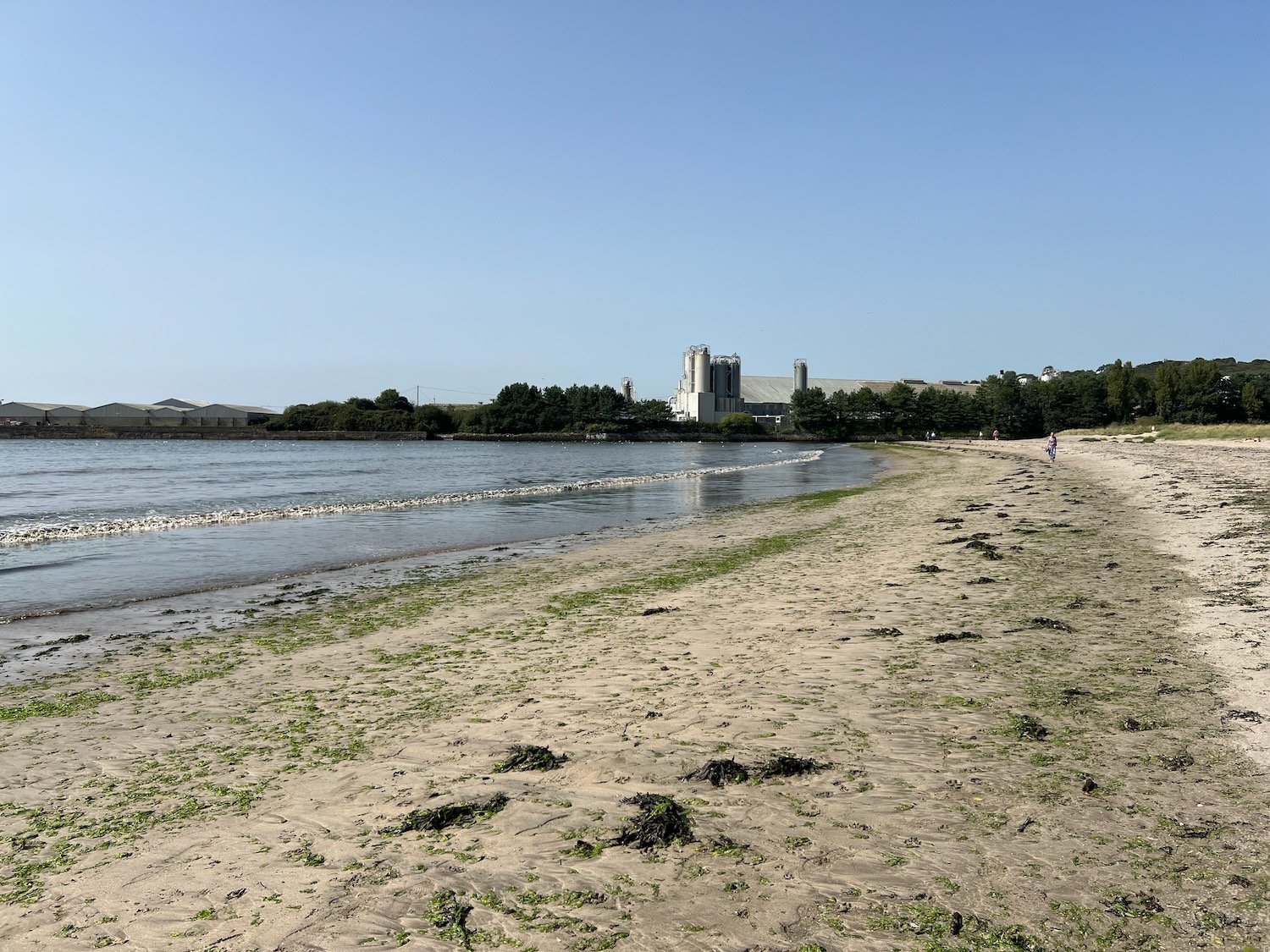
It is now a short hobble to reach the views over Par Sands.
I drop down to the car park at Par Sands, passing the Ship Inn at Polmear on the way.
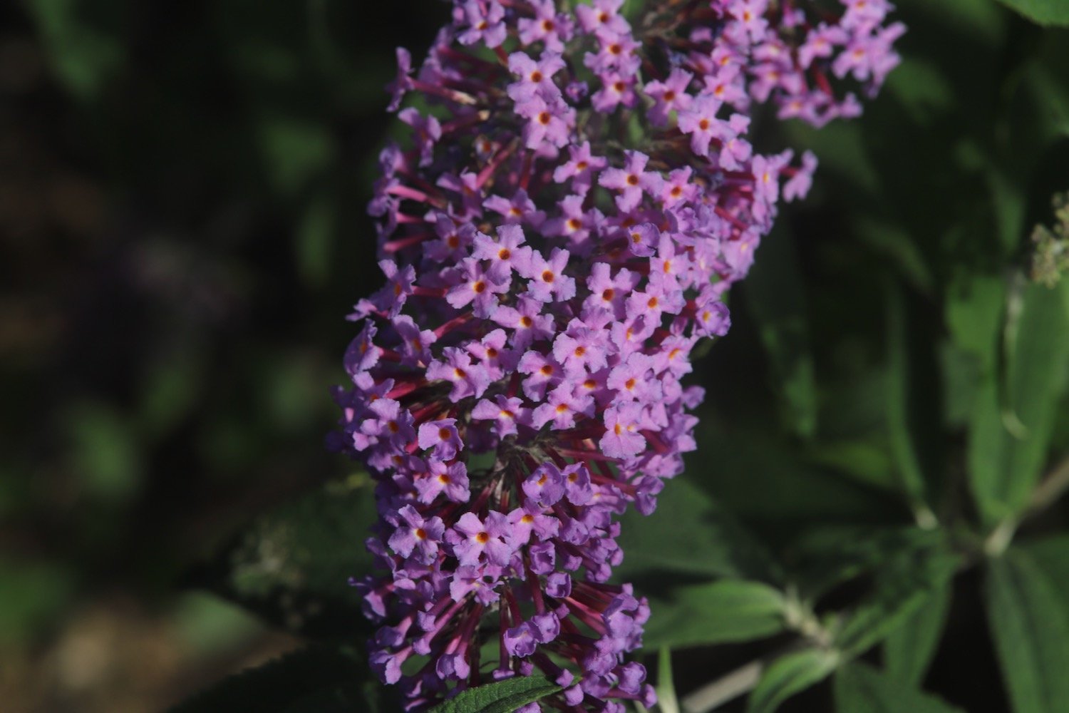
FLORA AND FAUNA
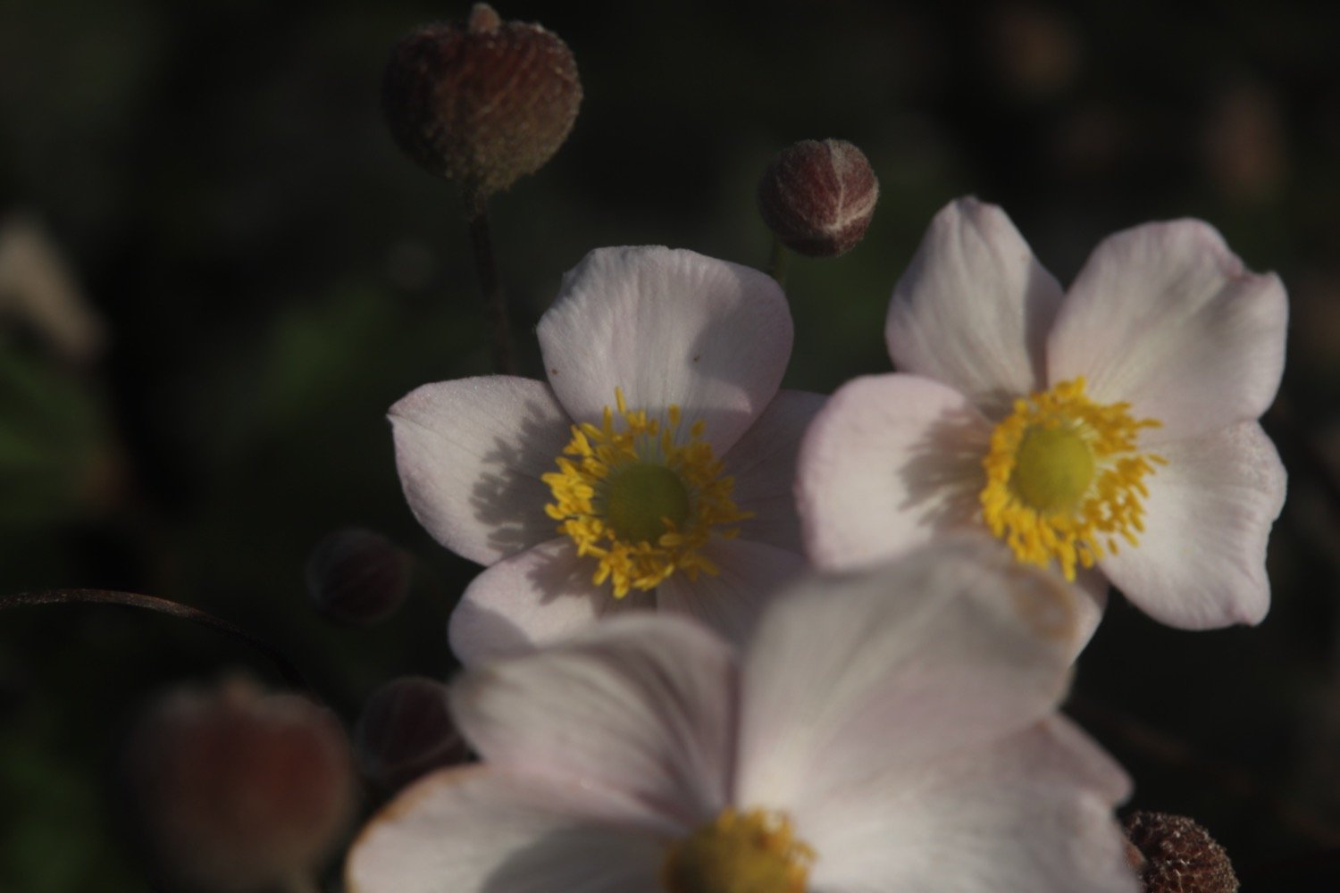
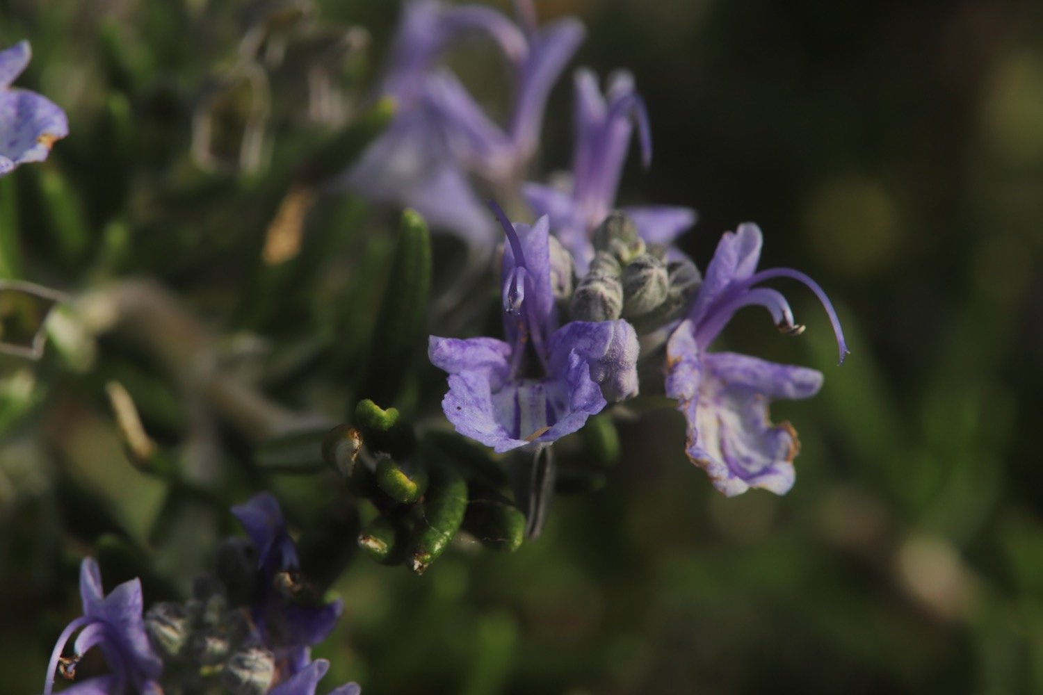
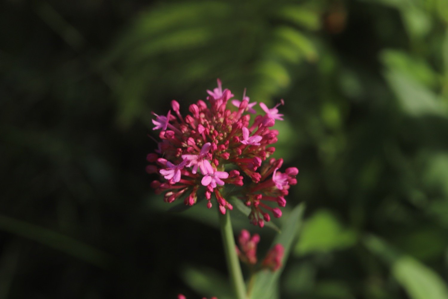
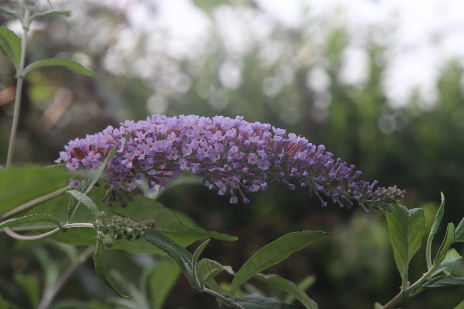
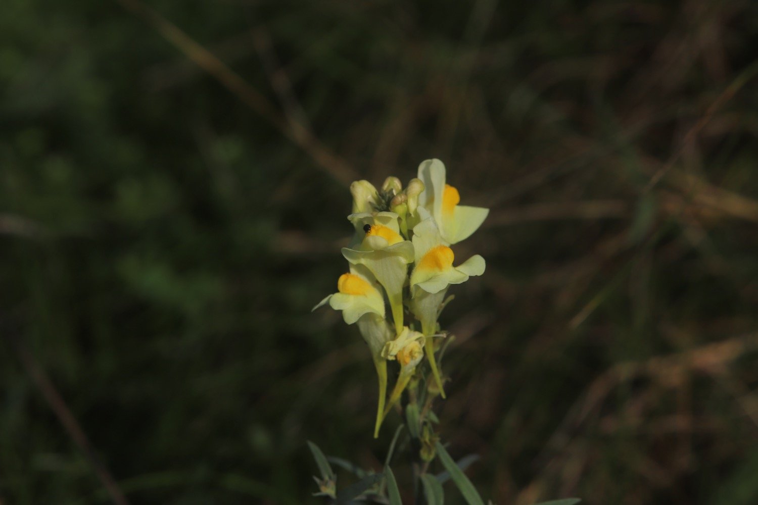
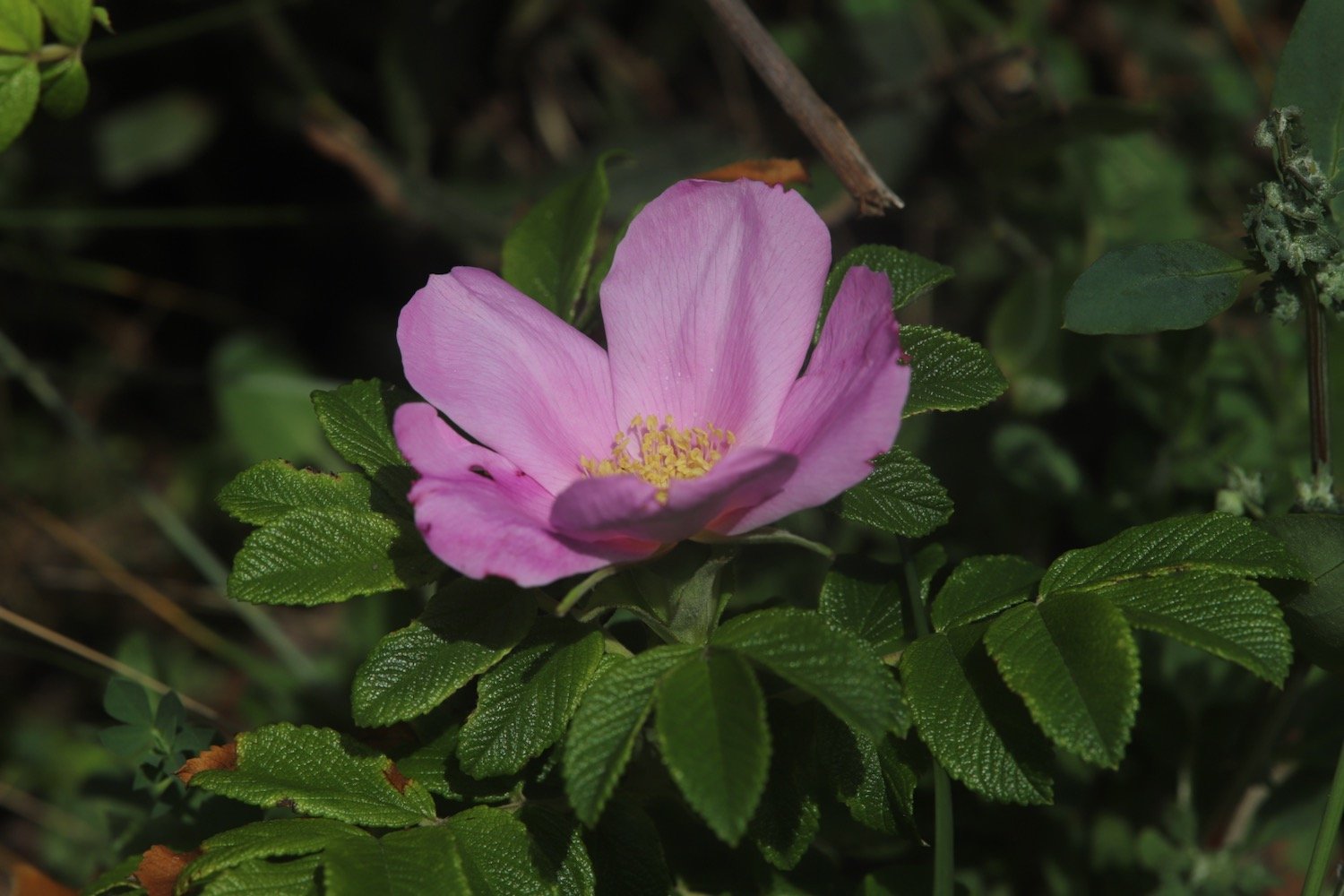
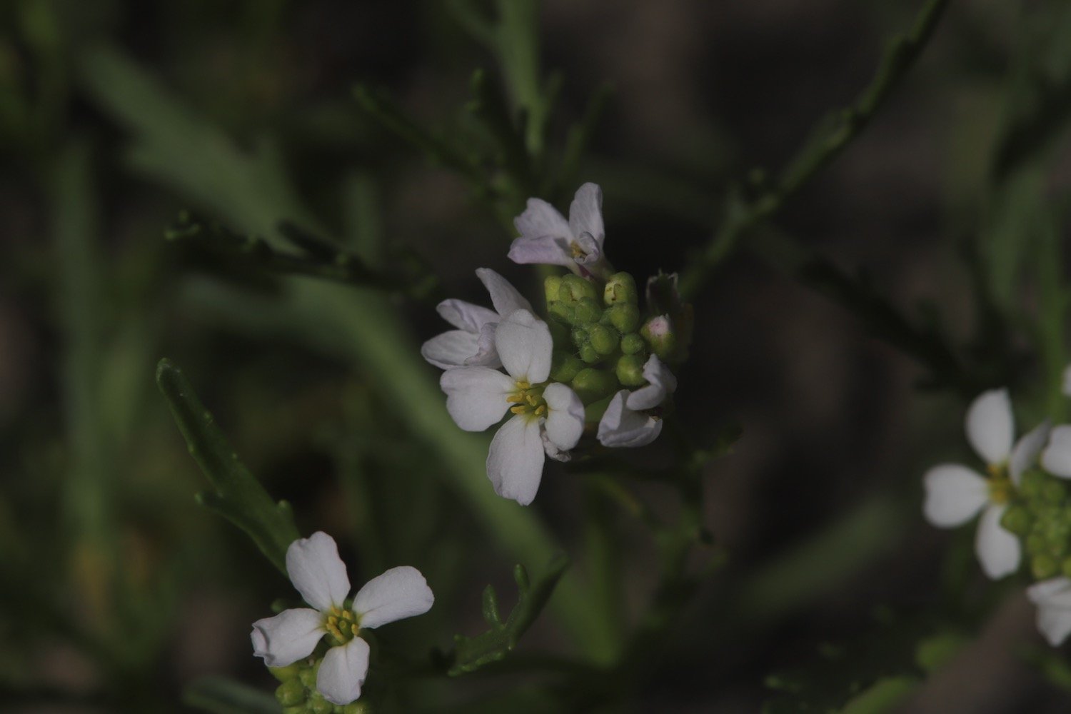
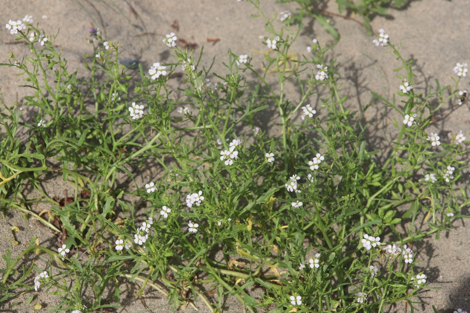
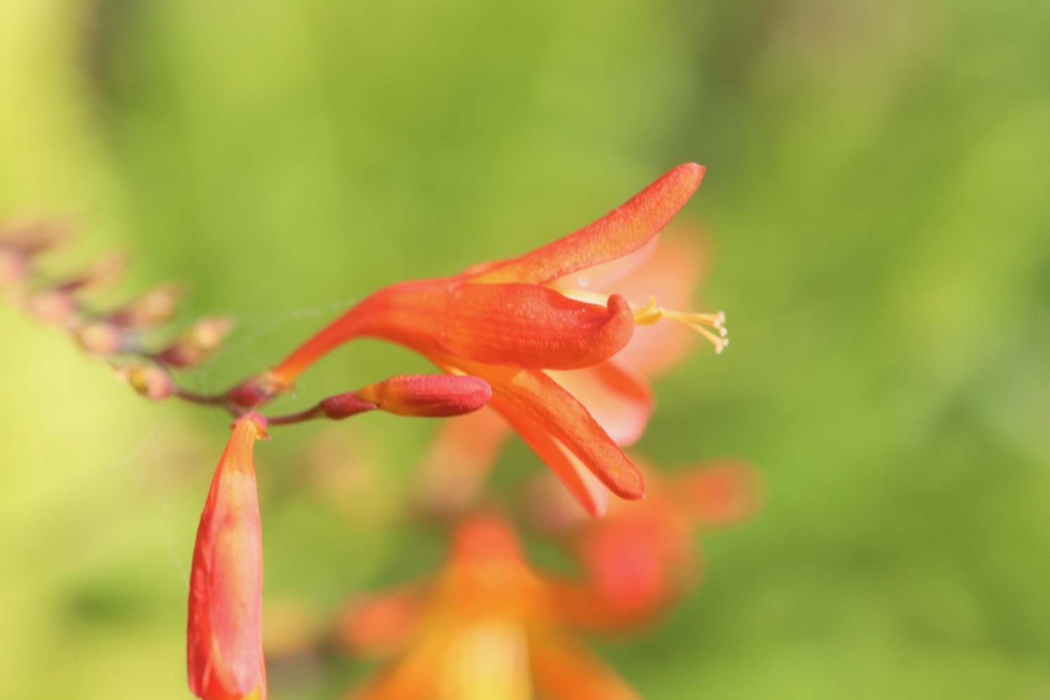
Flora and fauna encountered on the walk today includes :-
red admiral butterflies
speckled wood butterflies
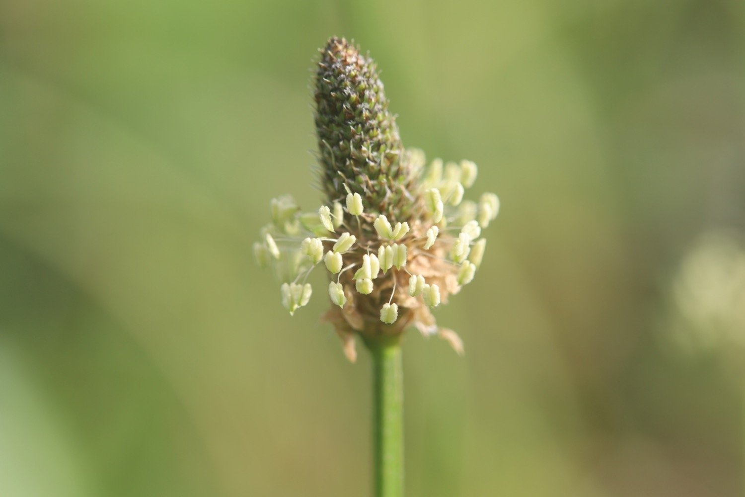
ribwort plantain
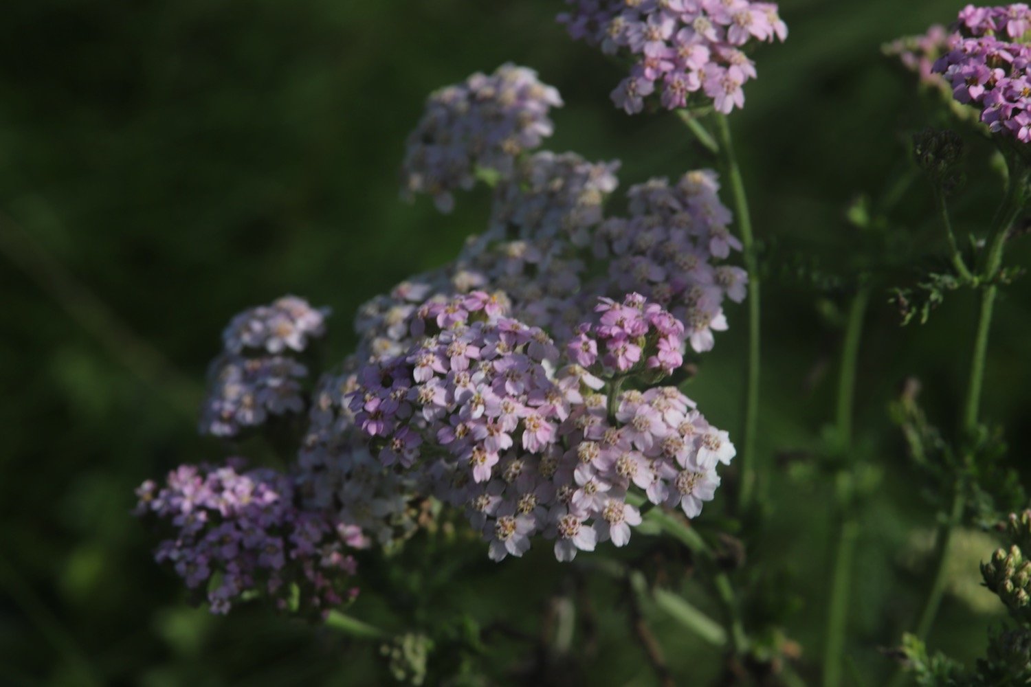
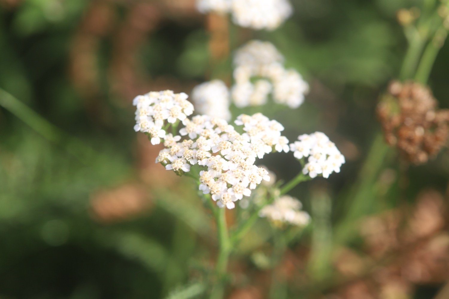
yarrow
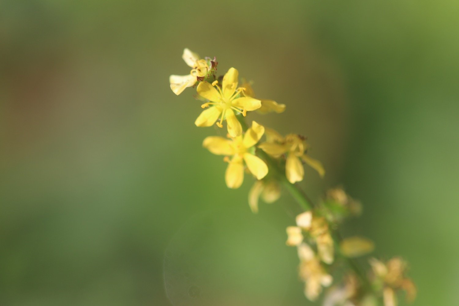
perforate st john’s-wort
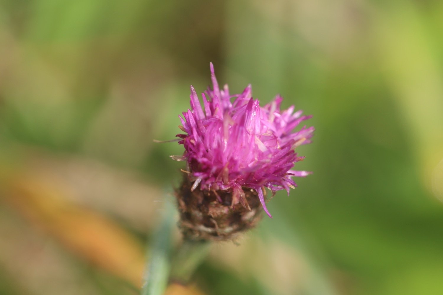
knapweed
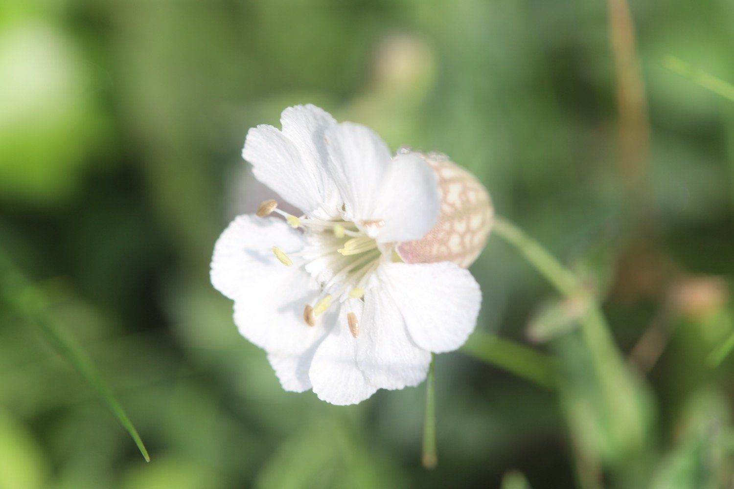
bladder campion
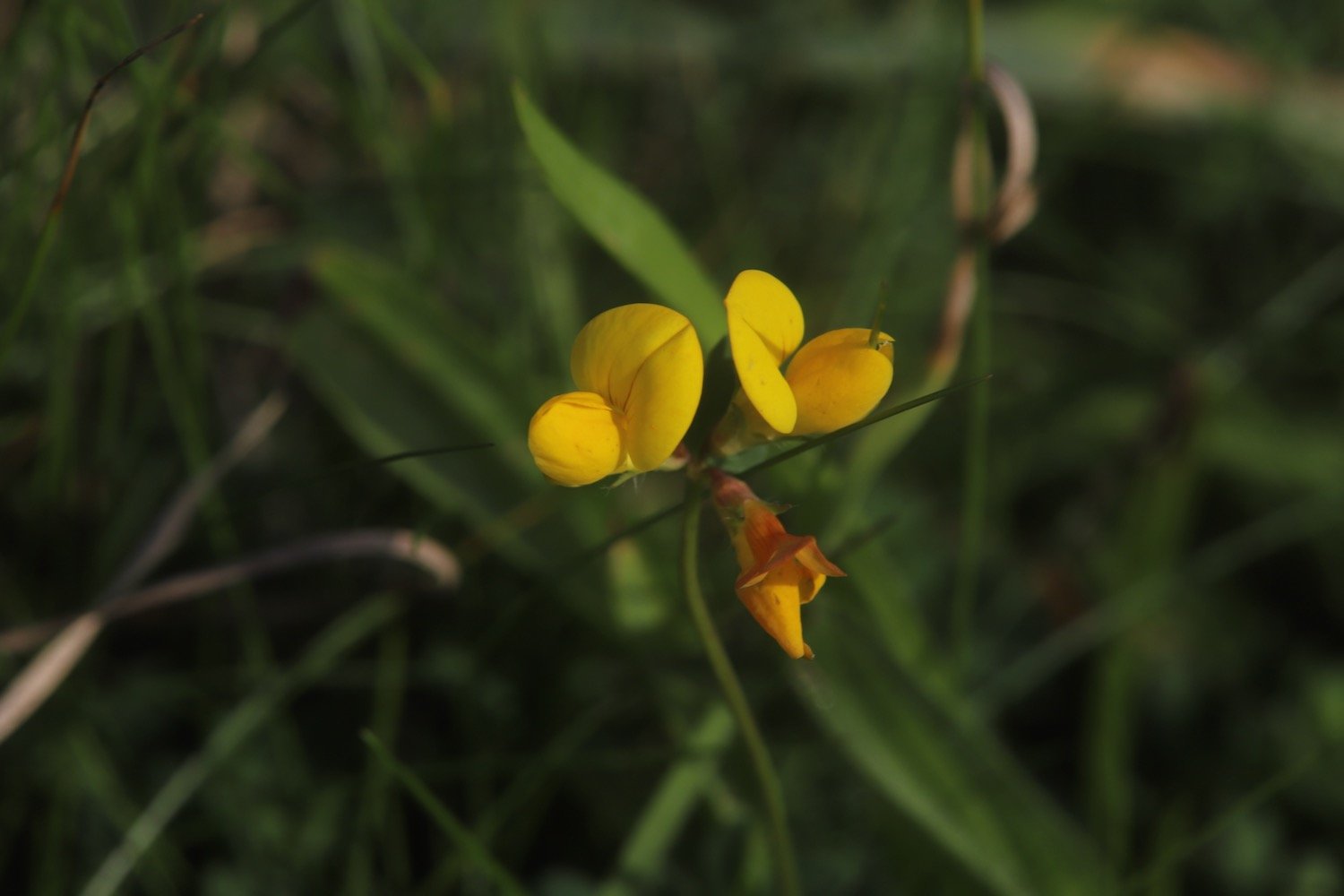
bird’s-foot trefoil
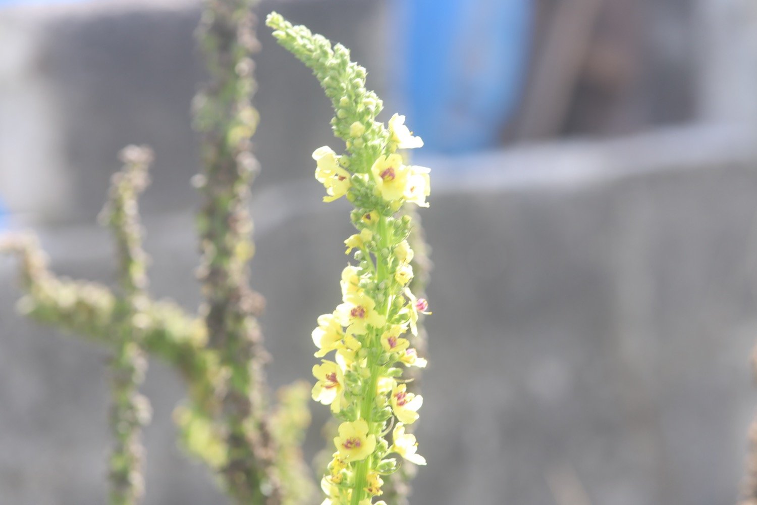
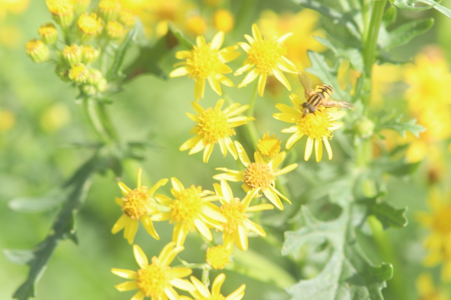
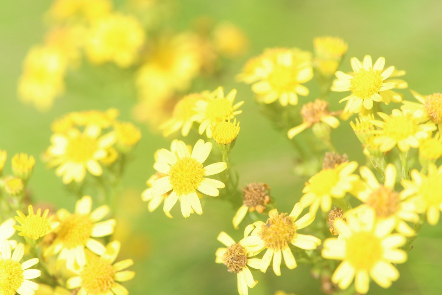
ragwort
herb robert
red campion
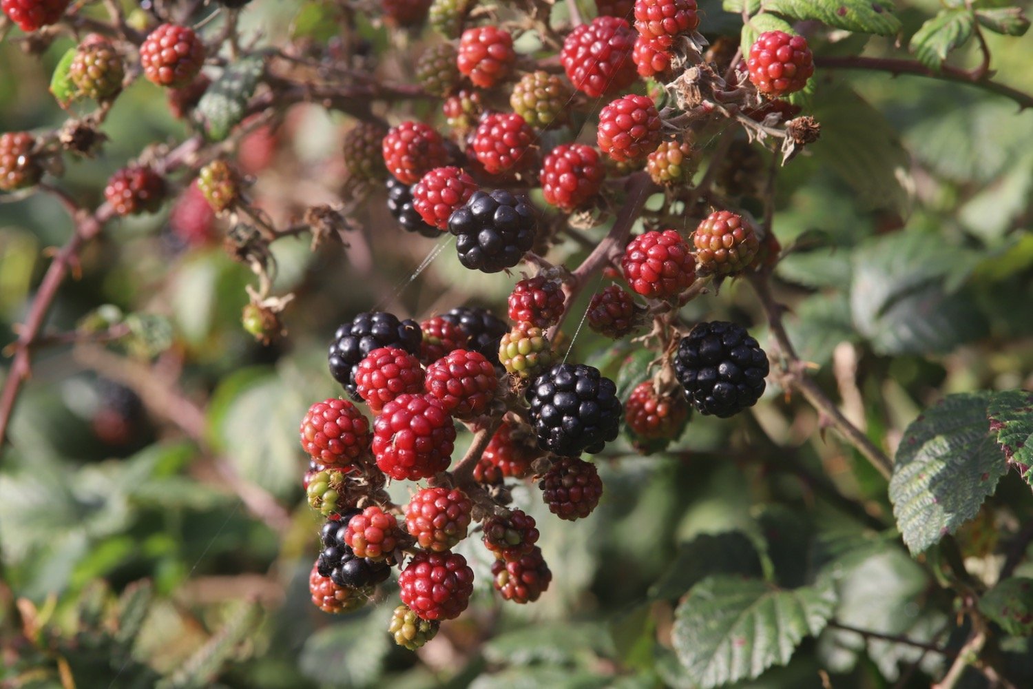
blackberries
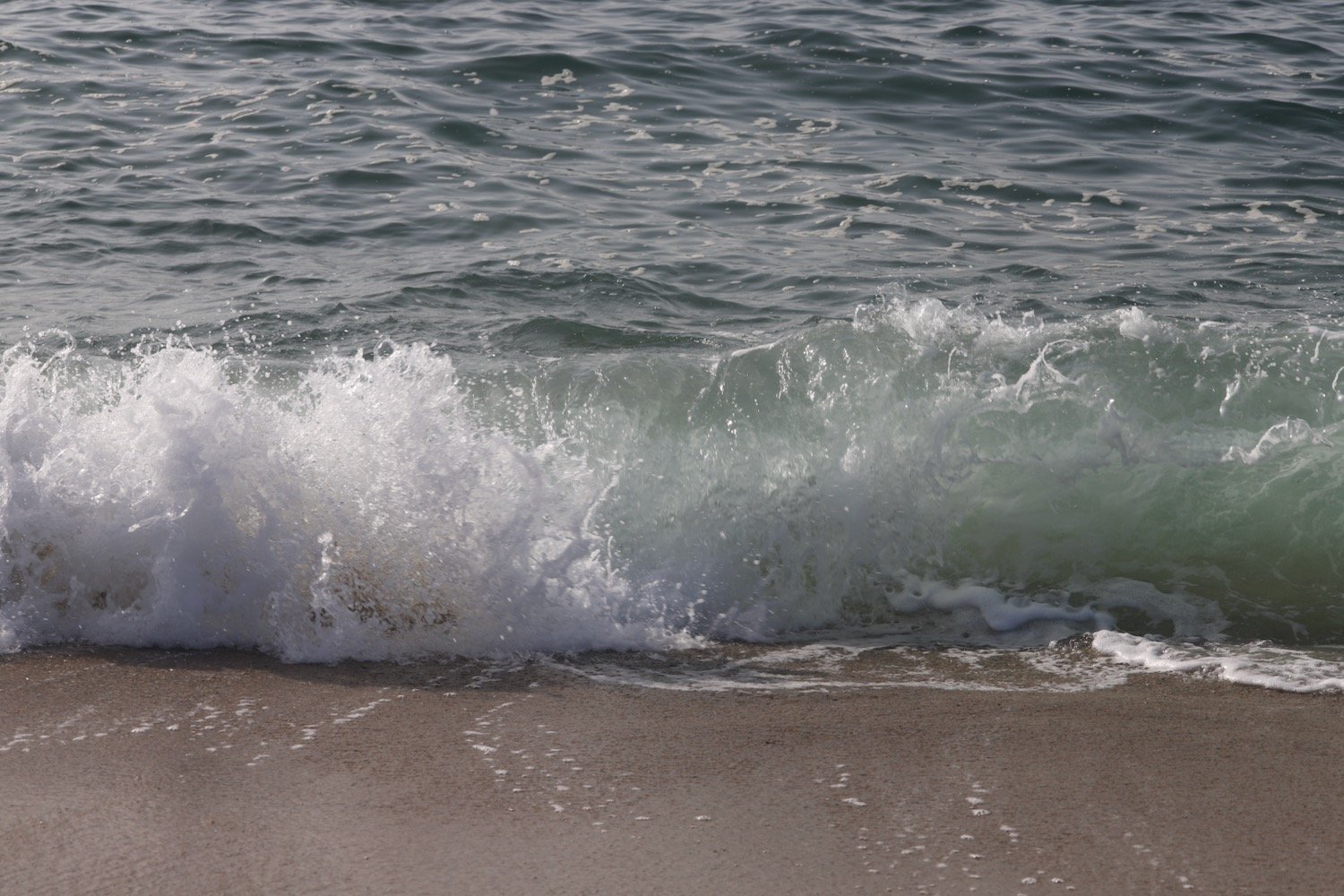
stranded jellyfish
scarlet pimpernel
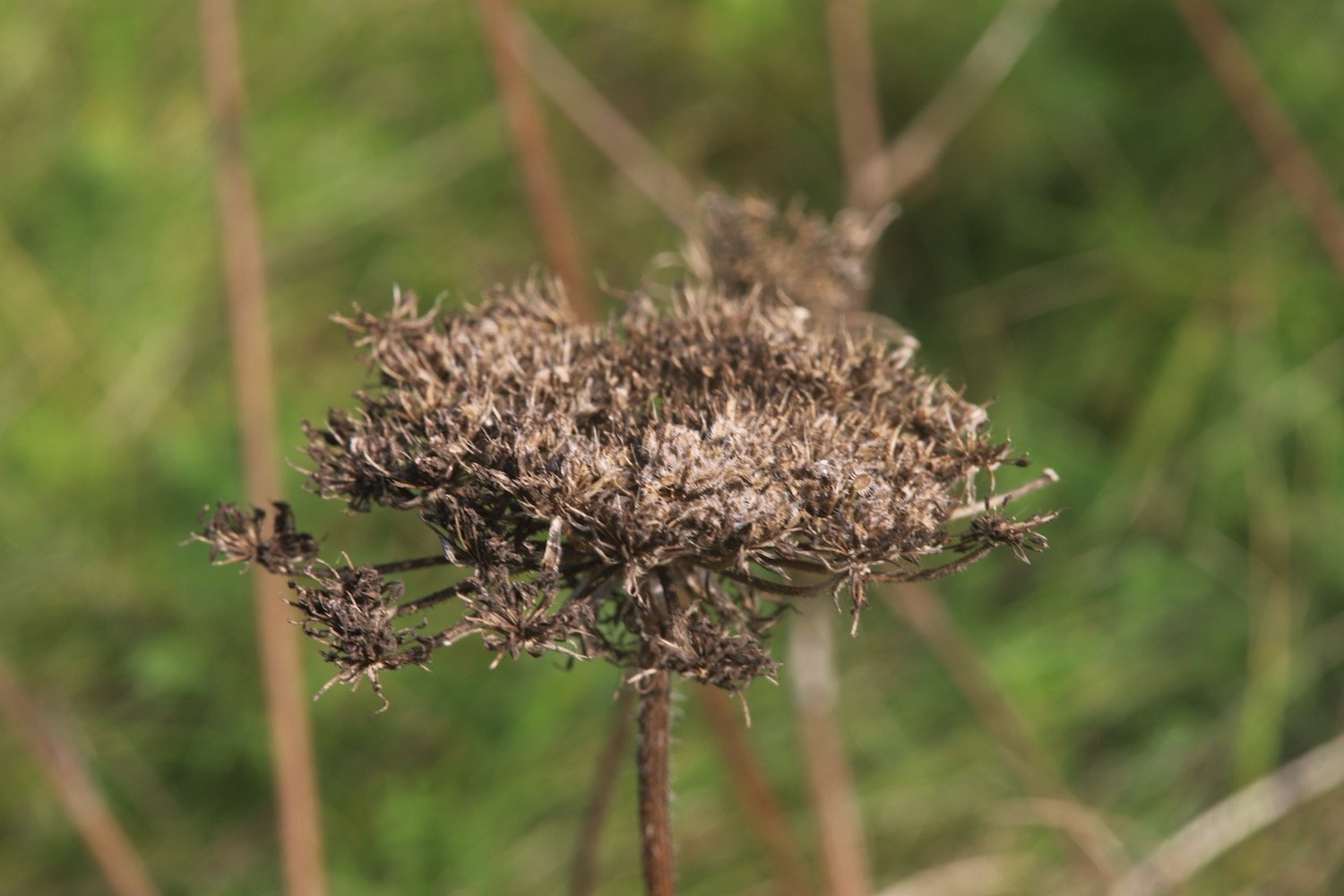
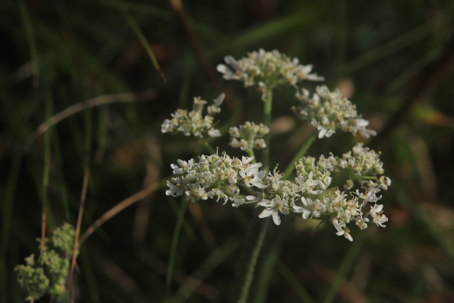
wild carrot
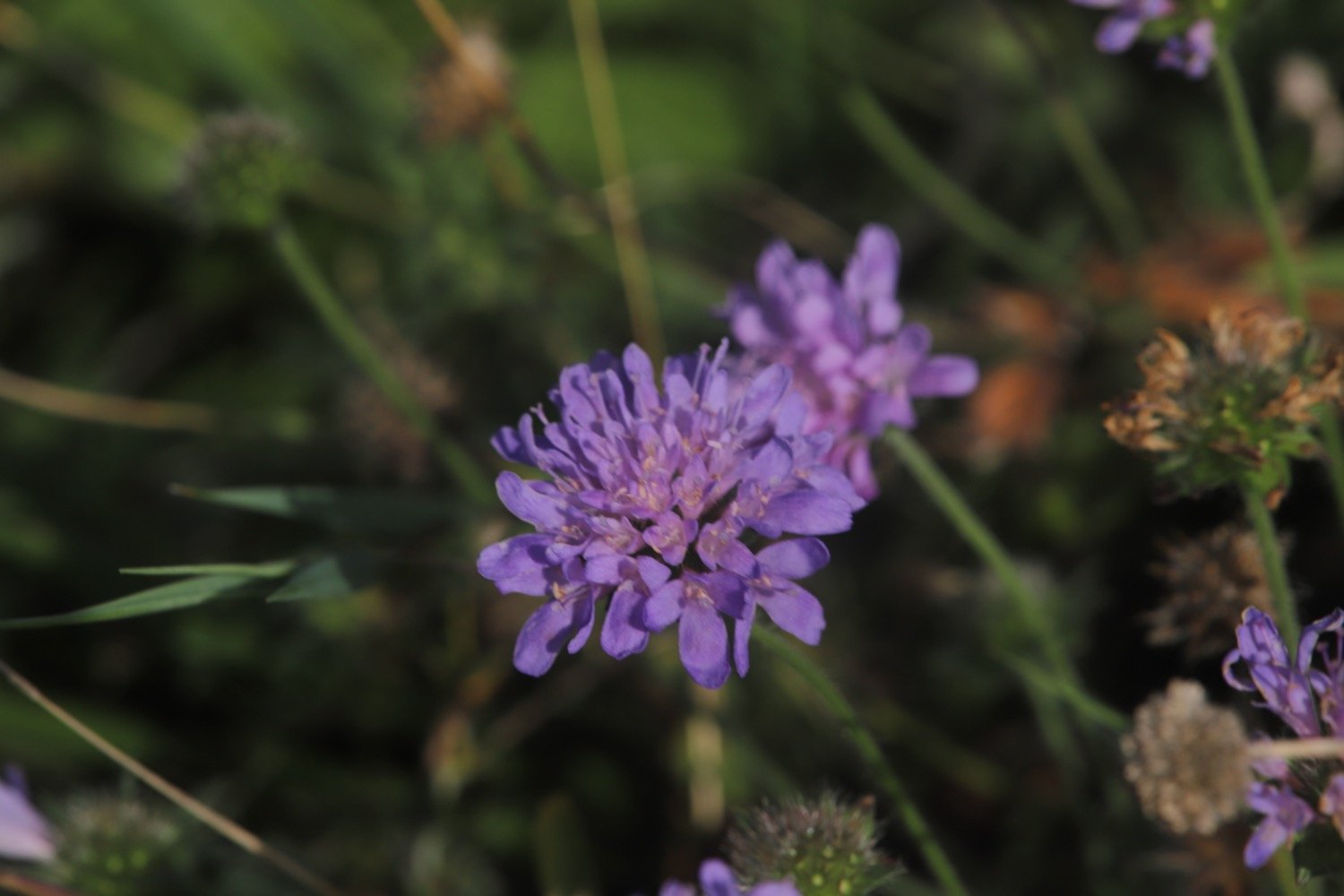
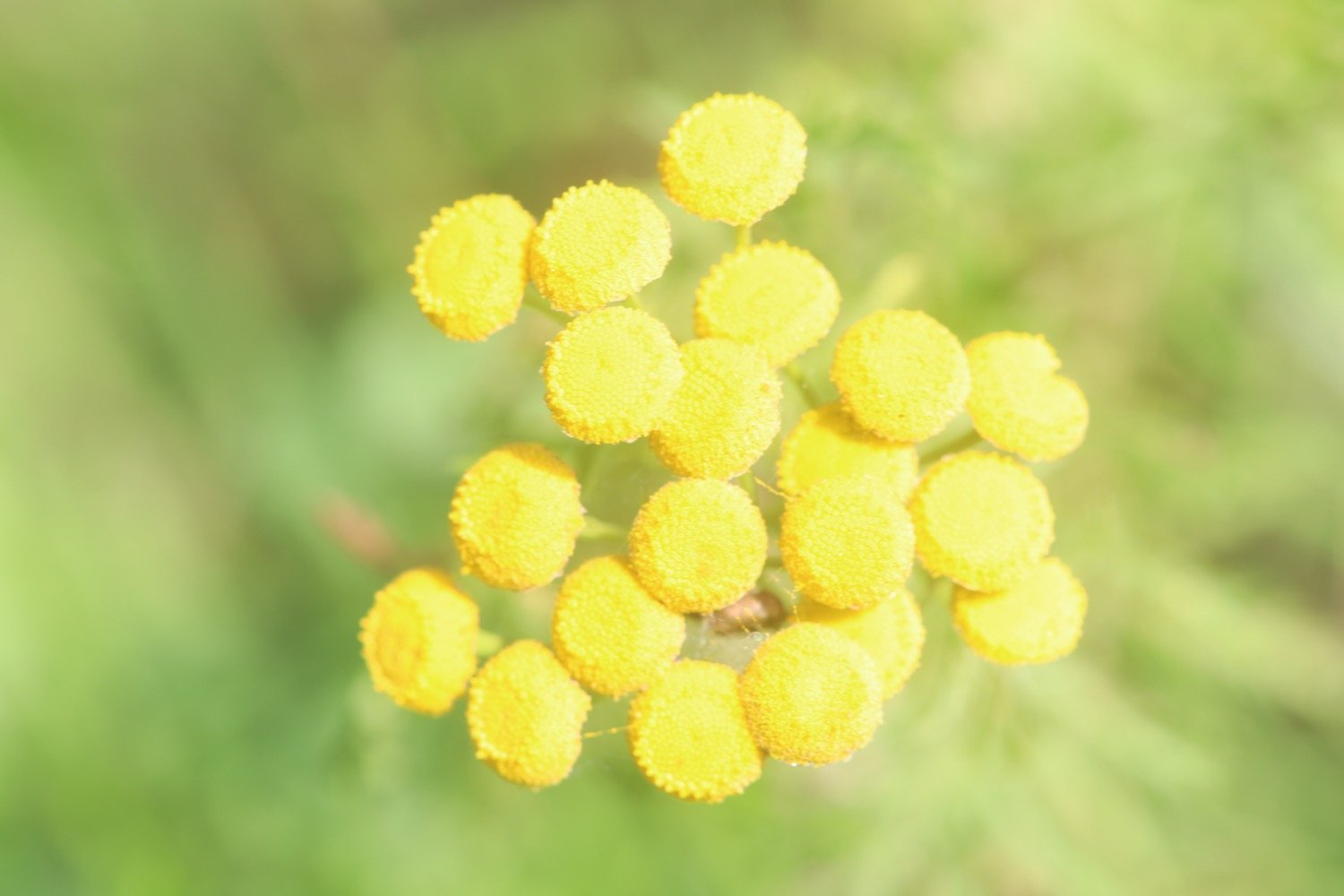
scabious
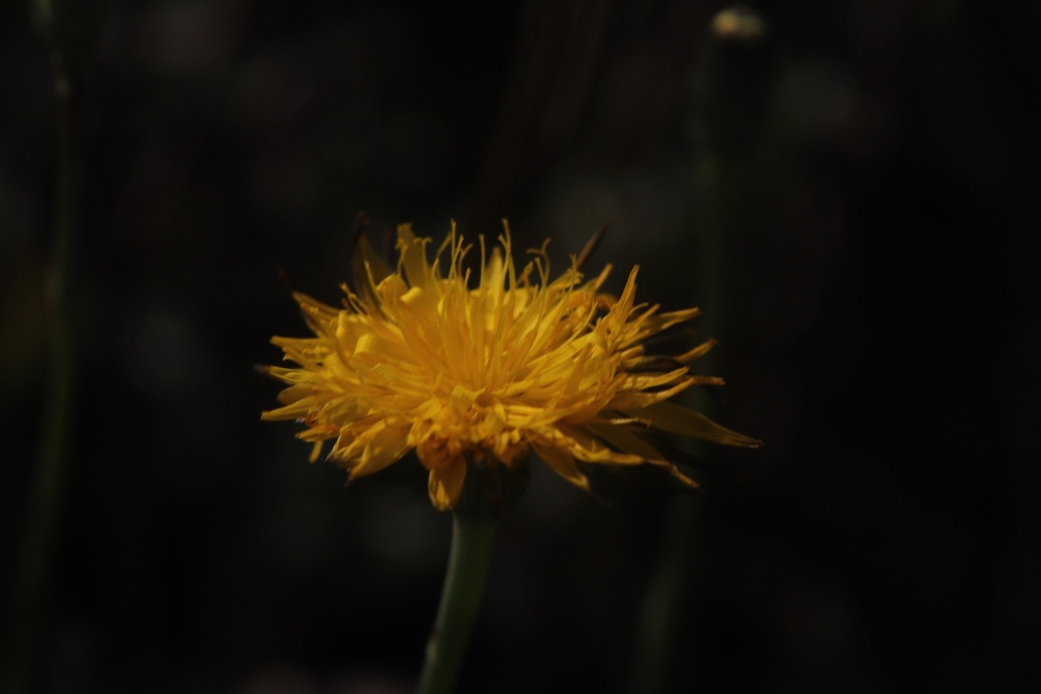
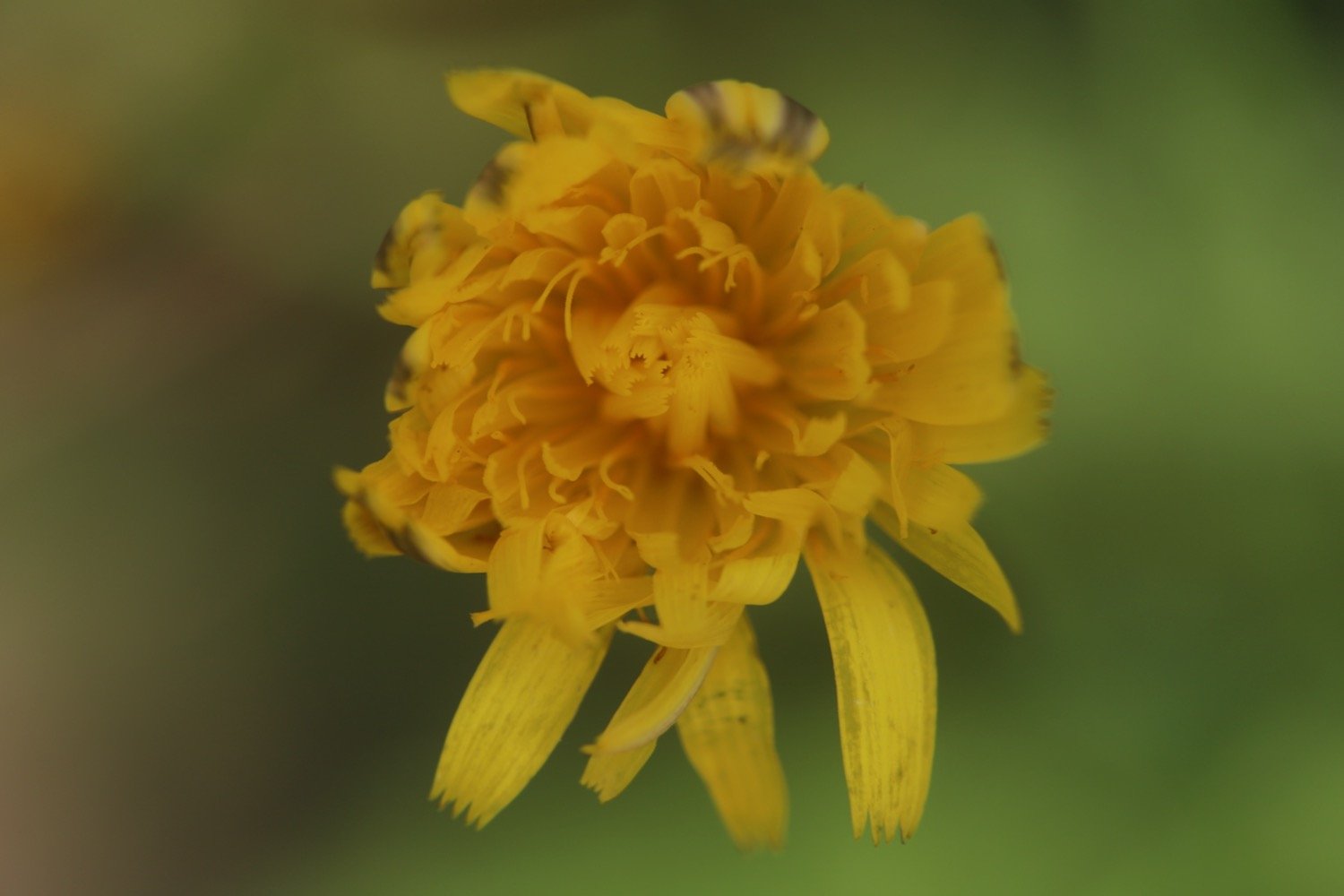
cat’s-ear

PODCAST
The podcast of today's walk is now available. You can subscribe via Apple Podcasts or listen using the player below.

MARKS OUT OF TEN?
According to my phone I've walked a pathetic 7 miles which amounts to 17285 steps. It has taken me three hours 25 minutes. The weather has been magnificent but way too hot and it has been painful trying to walk on my injured foot. Eight out of ten!
WALK DETAILS
MAP
fowey
polridmouth
polkerris
par sands
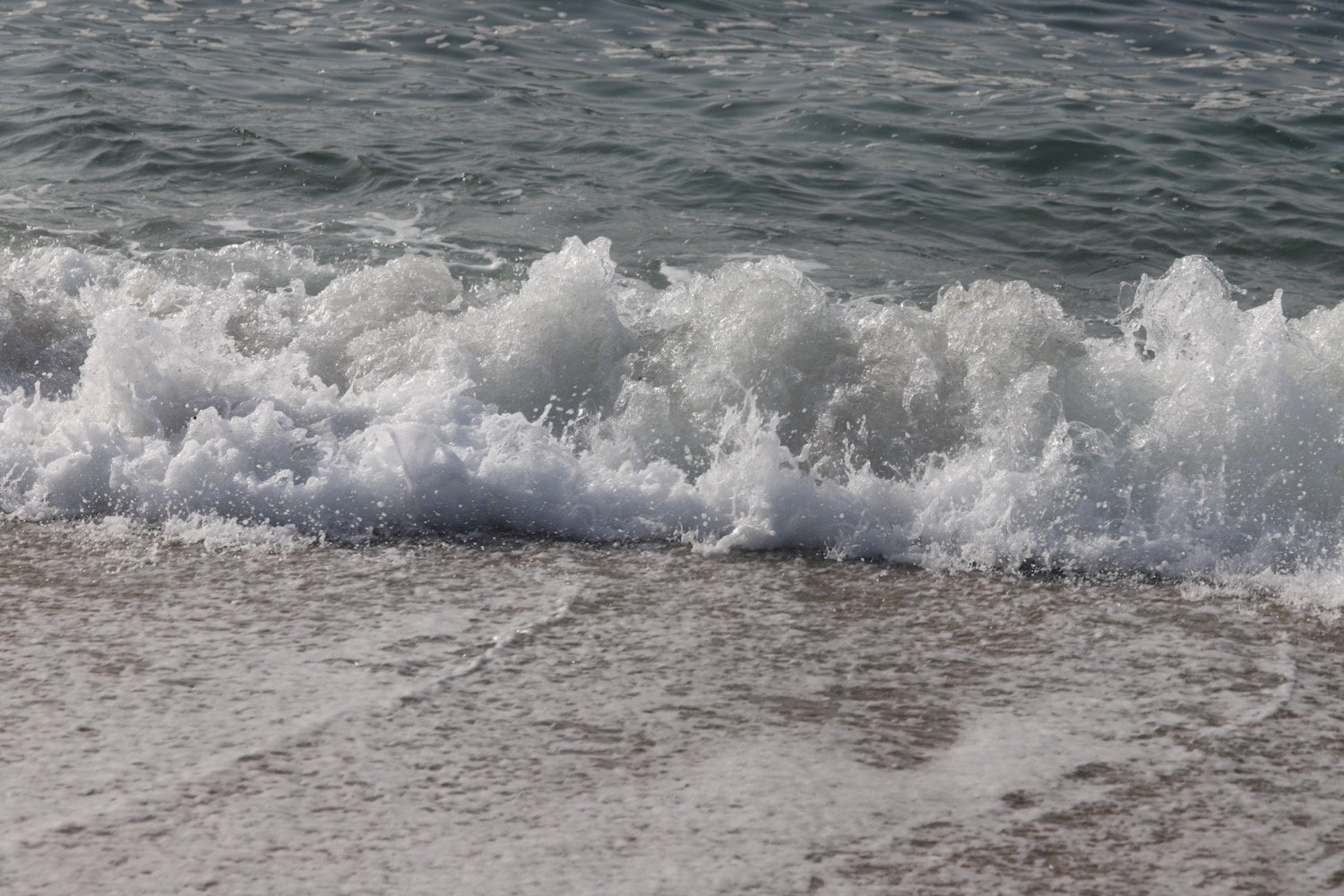
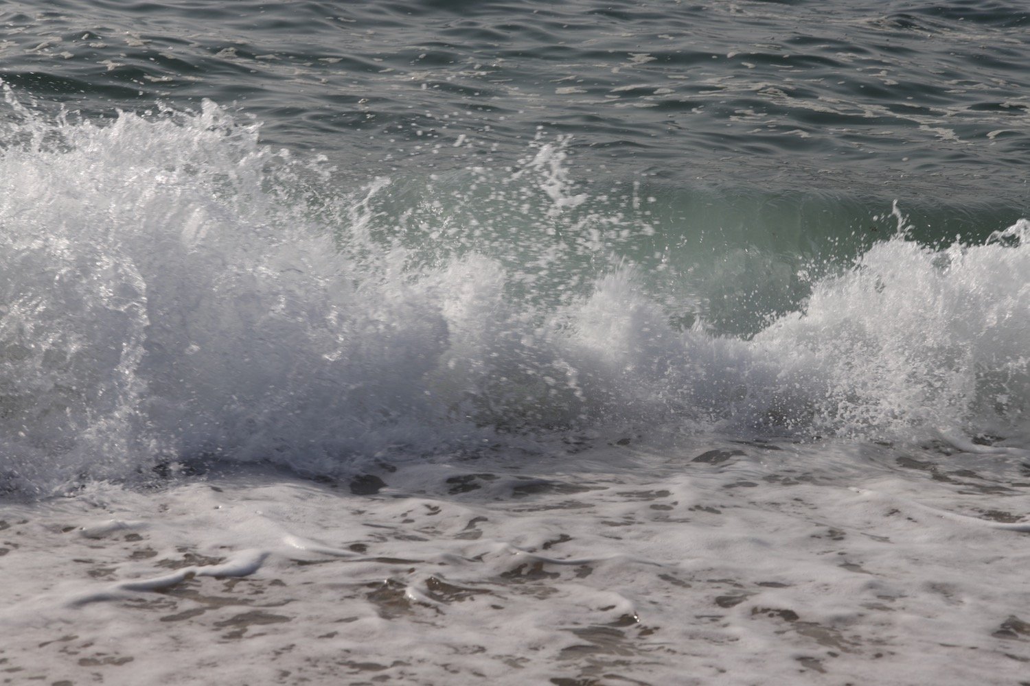
beach collection