polmear to polperro
SOUTH WEST COAST PATH
SUNDAY, 5TH june 2016
It looks like I'll be in for another day of beautiful weather with sun forecast for all day long. Temperatures aren't going to be particularly high so should make for perfect walking weather.
Par Sands high tide 06:19
Par Sands low tide 12:46


I start the day back at the car park behind the sand dunes at Par Sands and head out onto the murky beach.
murky par sands
I head inland slightly to the Ship Inn at Polmear where the coast path heads behind the pub and up back onto the low cliff tops and I have murky views back over Par Sands.
ship inn, polmear
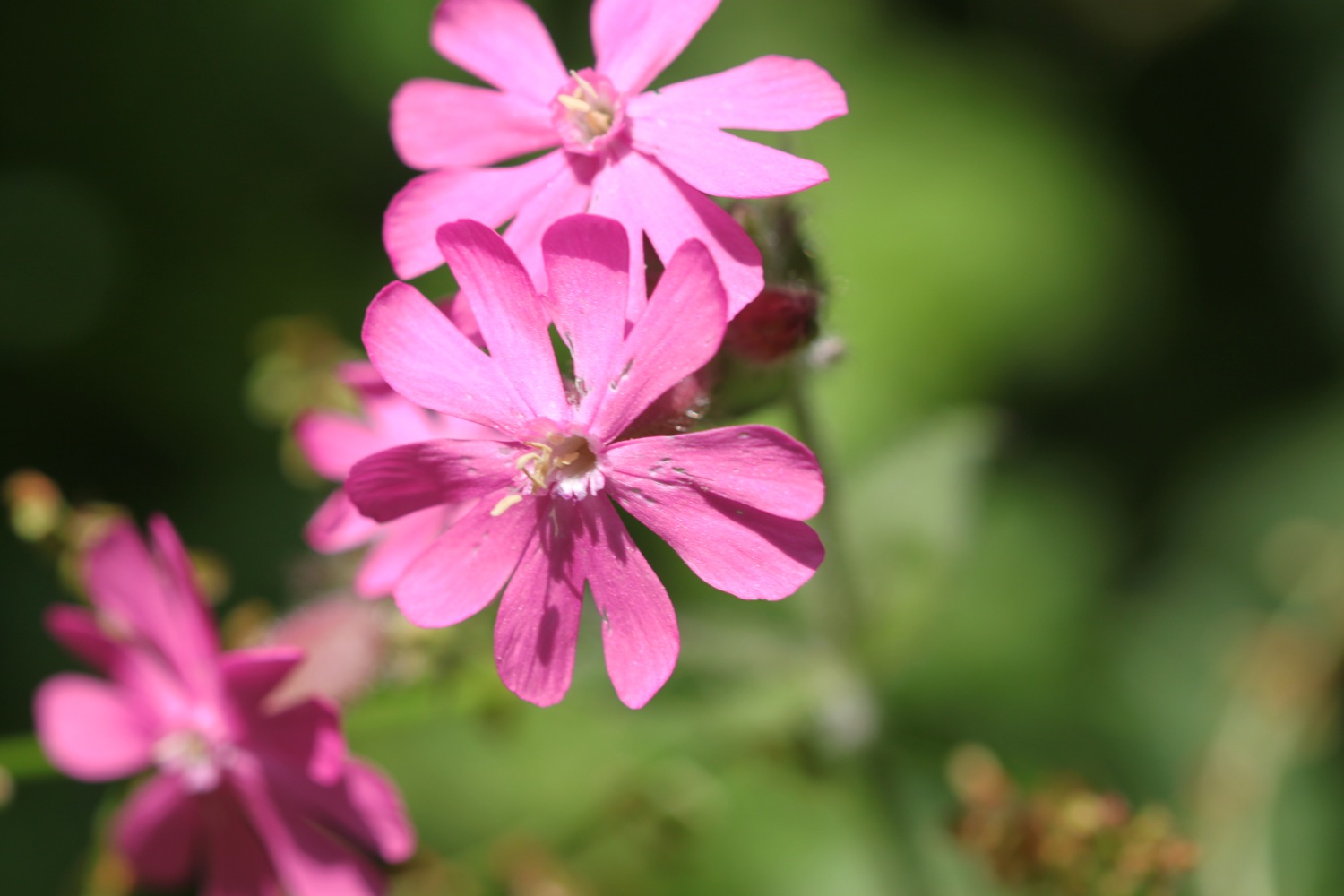
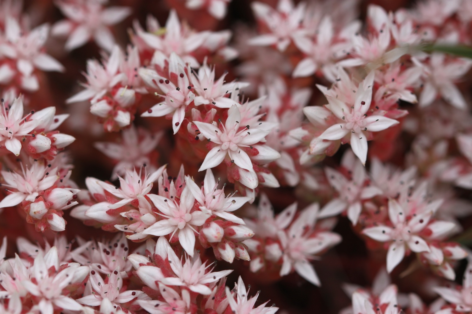
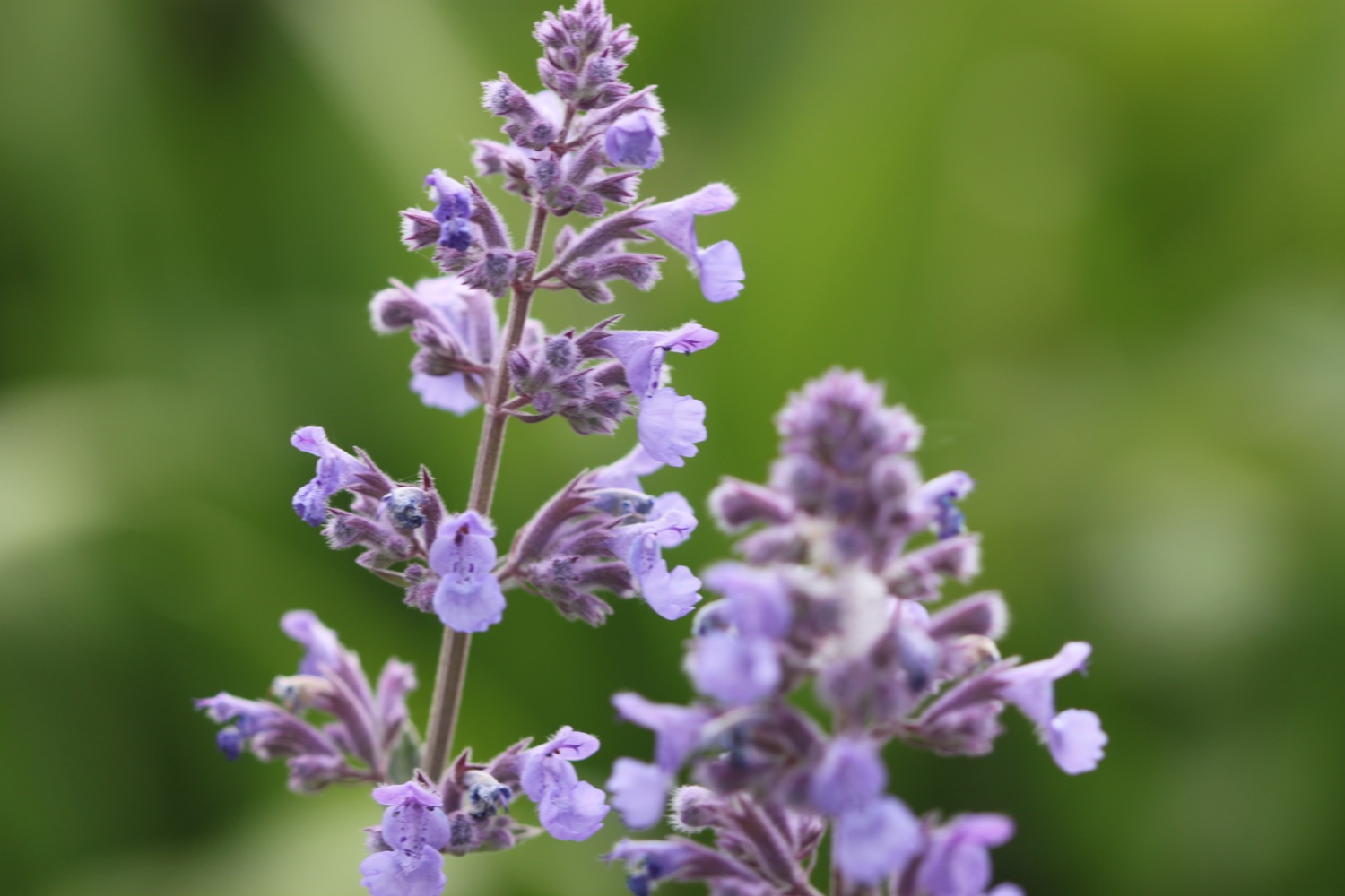
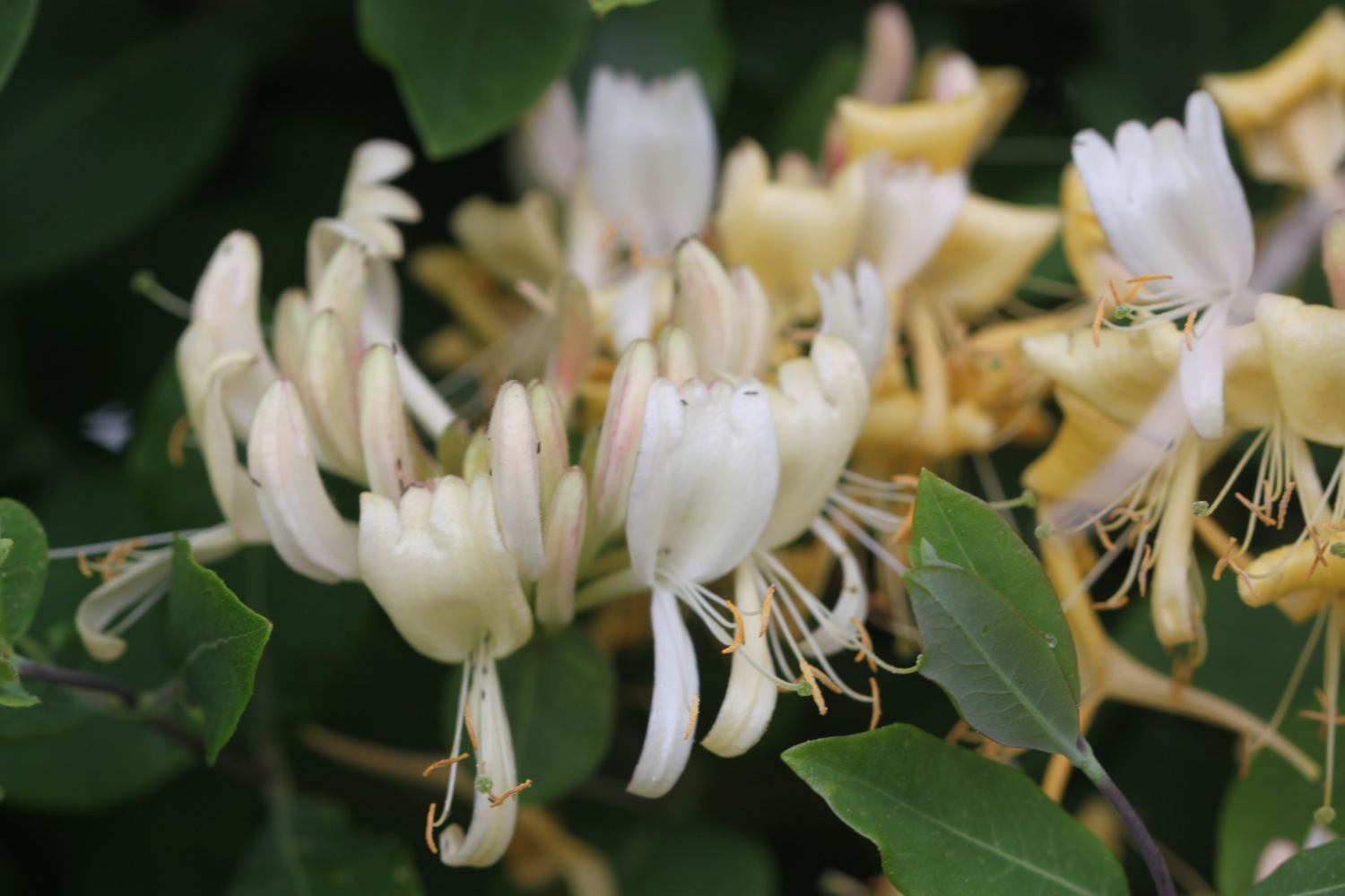
I immediately come across my first orchids of the week, a small patch of (not so) early purple orchids.
early purple orchid
I head onwards towards the harbour at Polkerris and I have lovely views over the harbour. I can hear people swimming in the sea.
overlooking polkerris
I drop down to the beach, passing Sams on the Beach based in the old Polkerris lifeboat station. Opposite is the Rashleigh Inn where thirsty walkers can stop for a nice pint. It's way too early for me though and the pub's not open anyway. A sandy, crescent shaped, south west facing beach can be found here and there are indeed a couple of people swimming in the sea.
polkerris
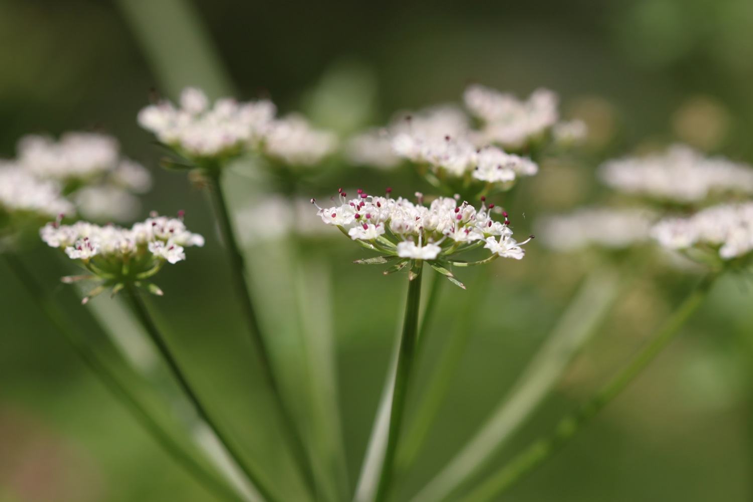
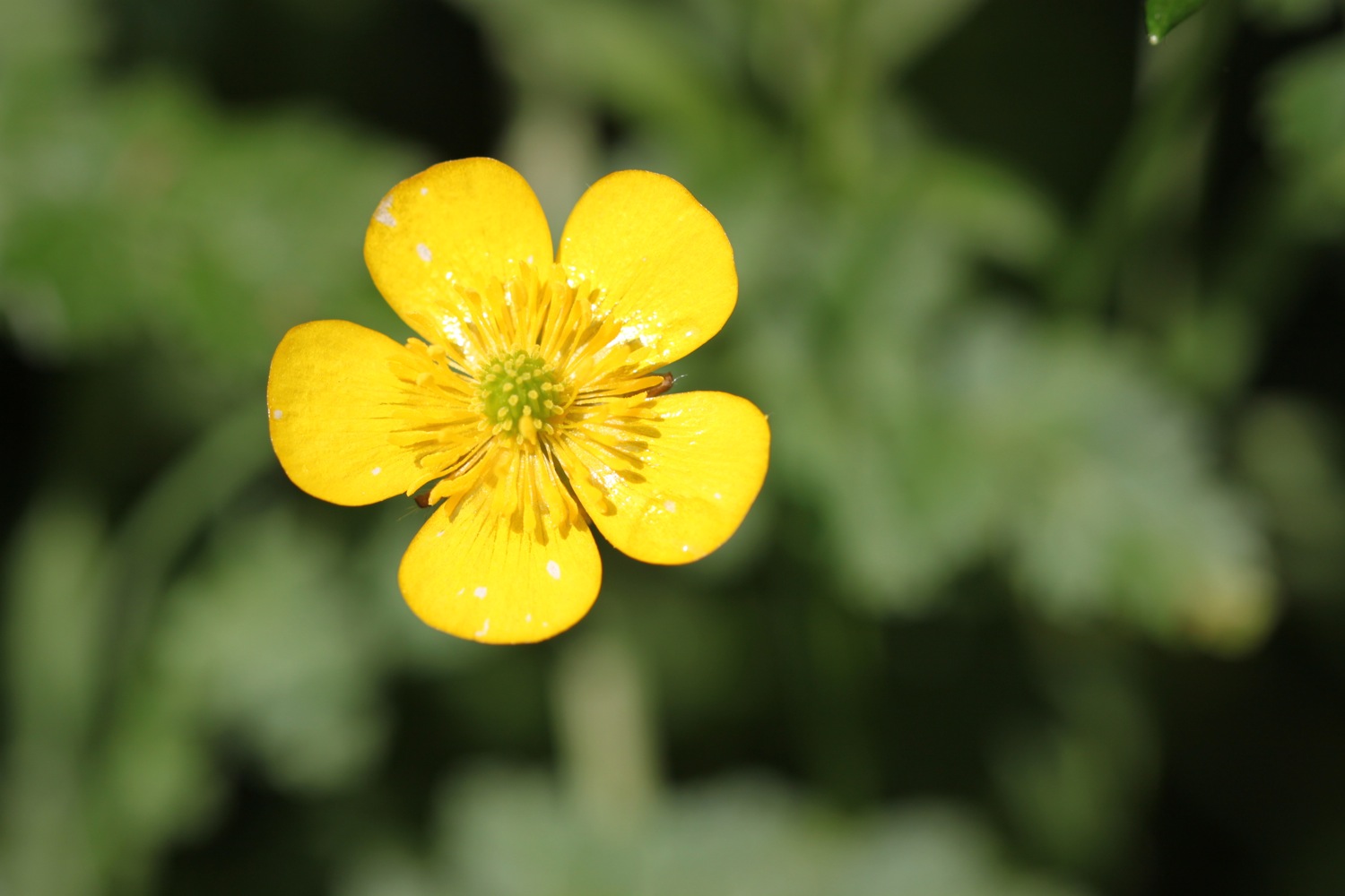
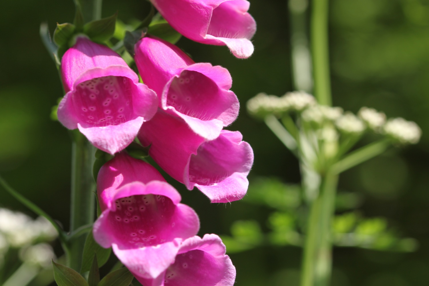
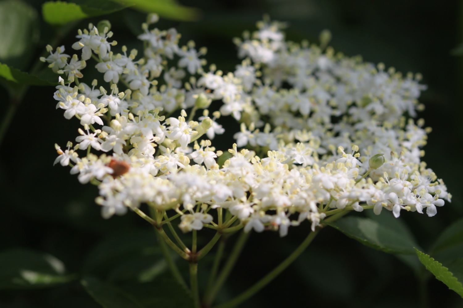
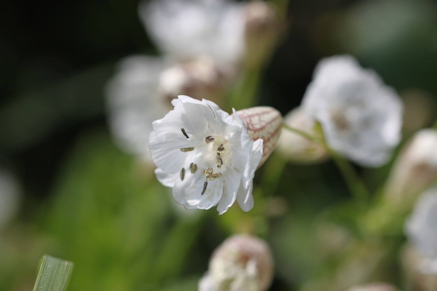
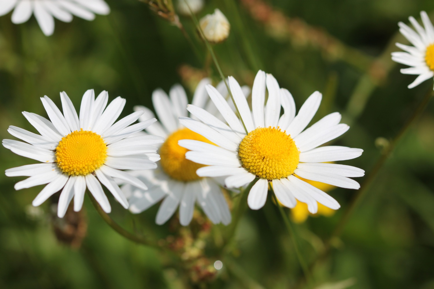
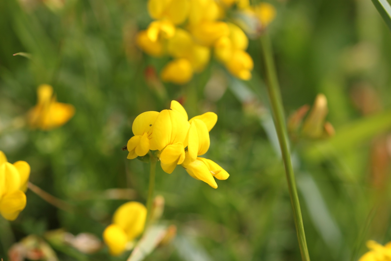
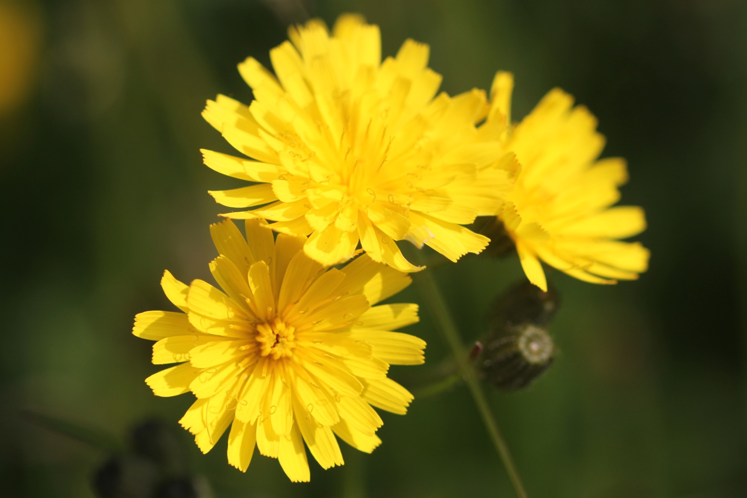
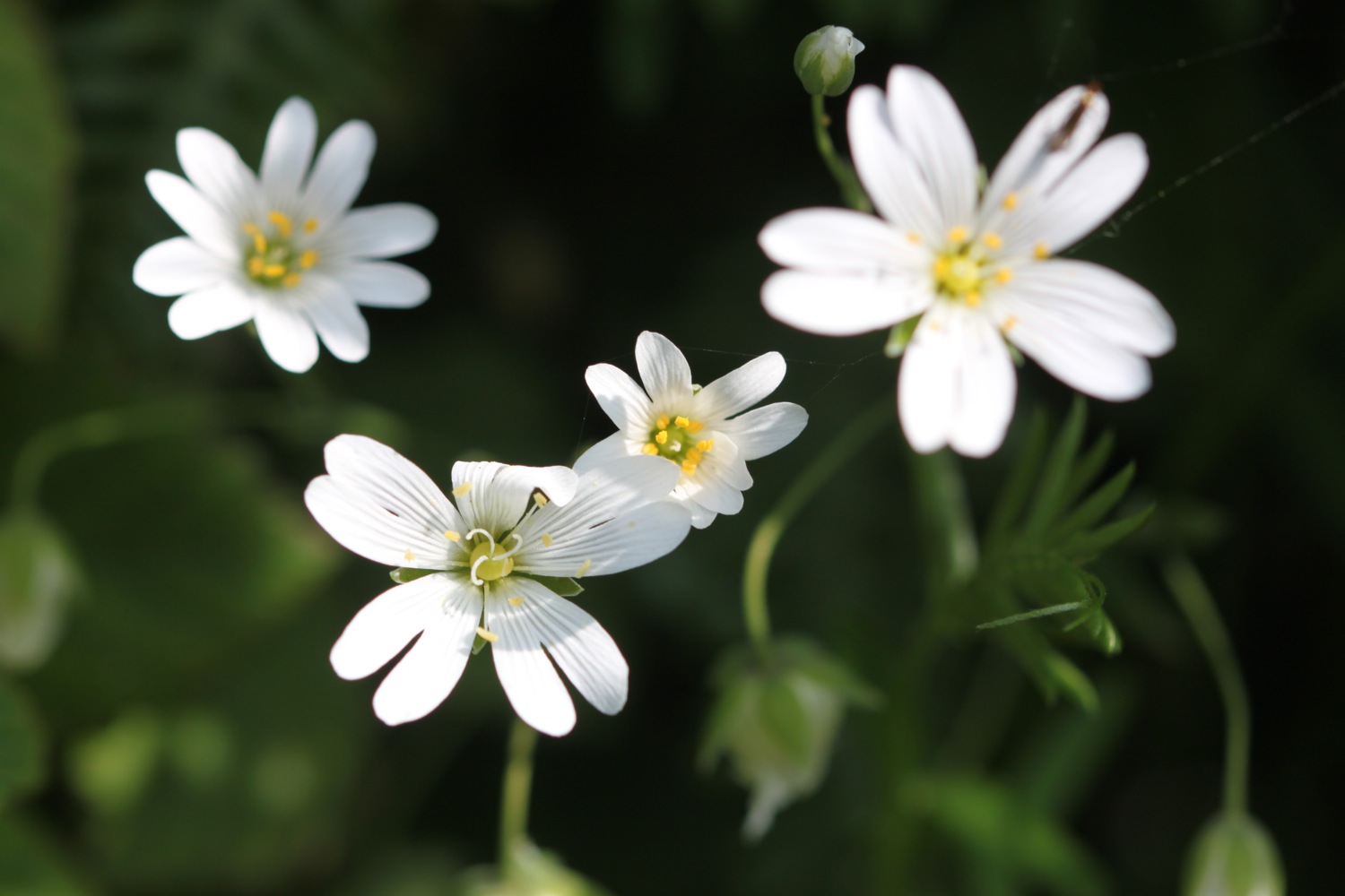
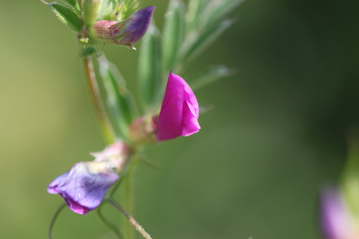
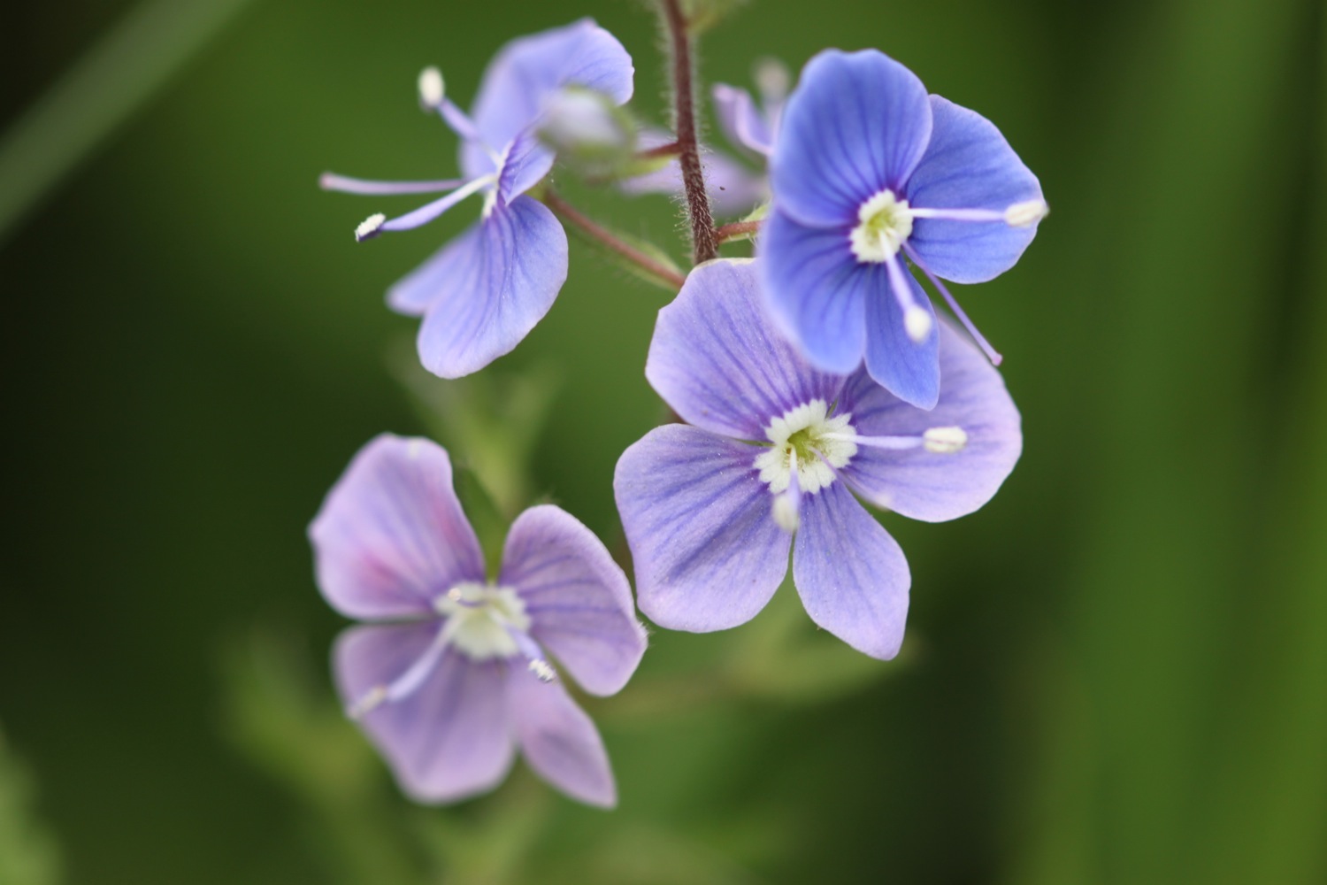
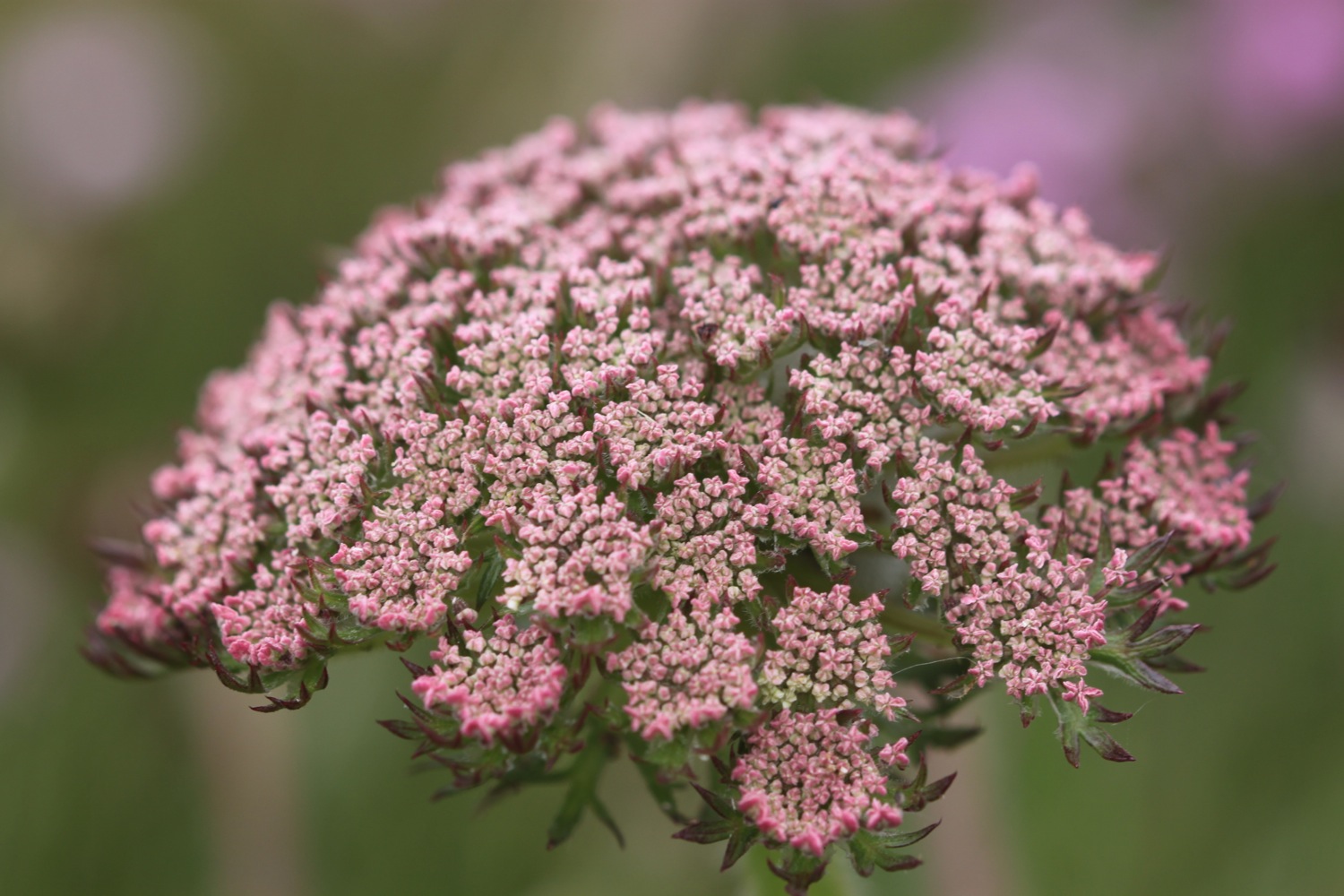
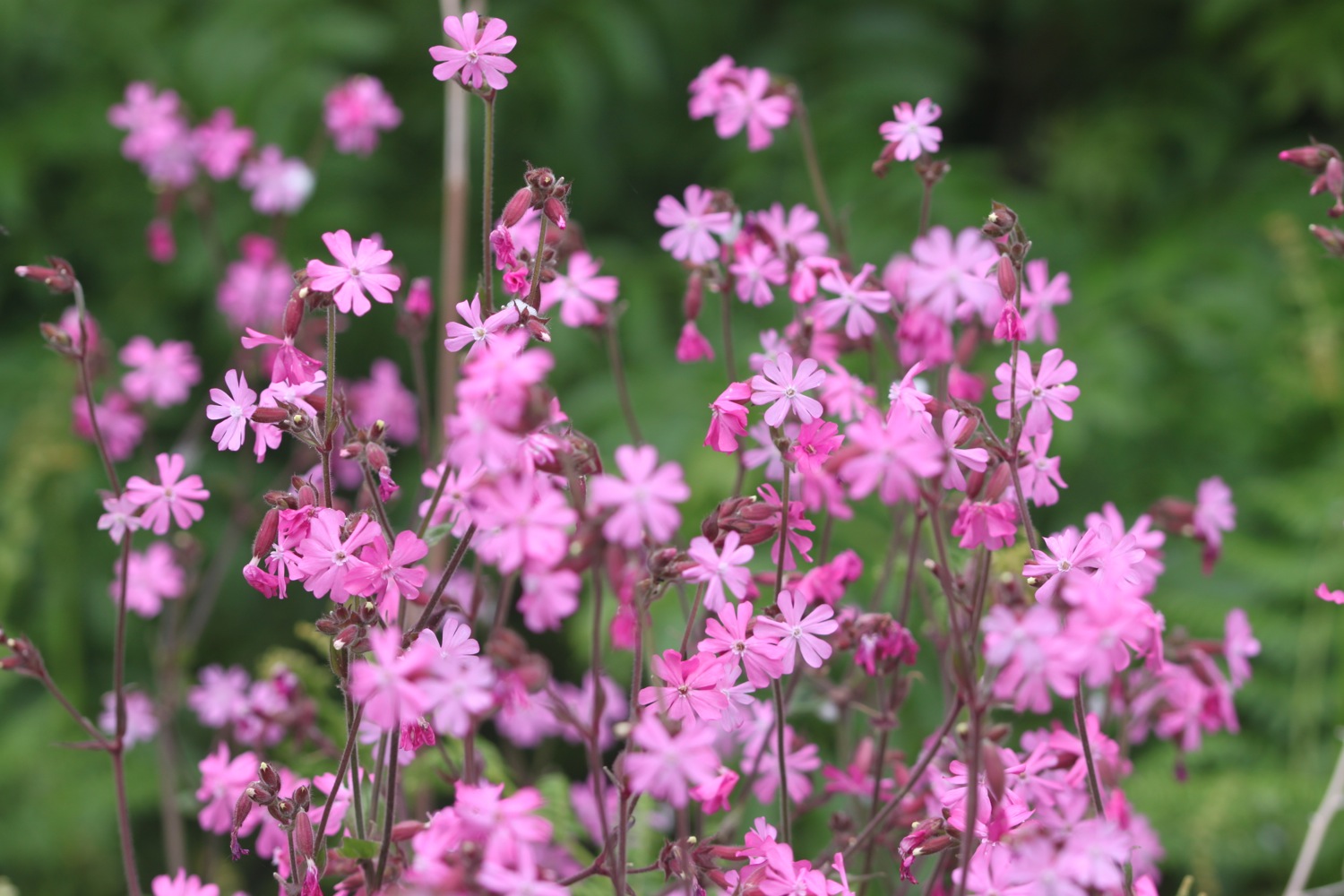
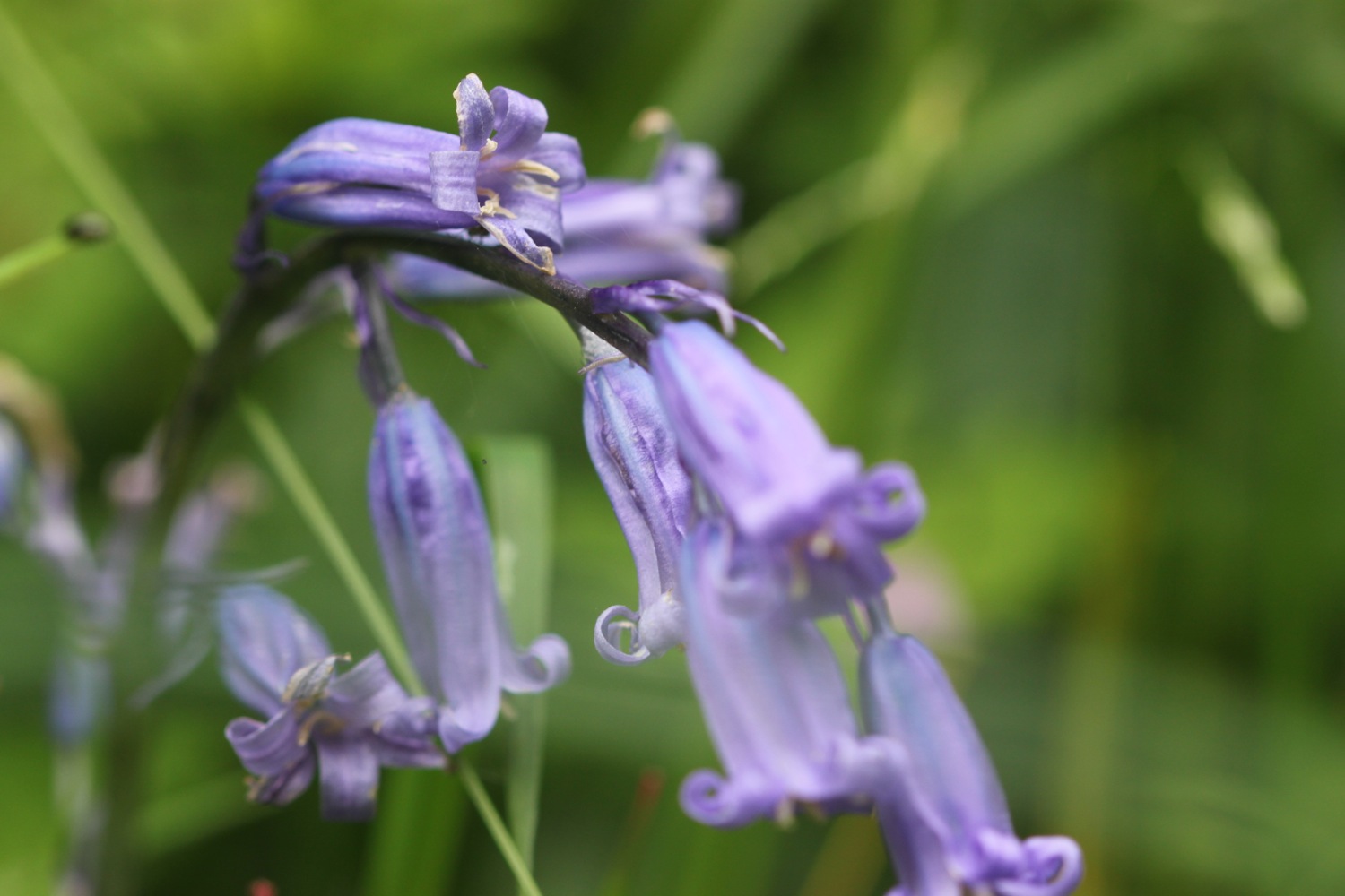
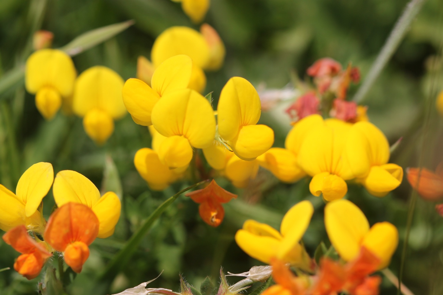
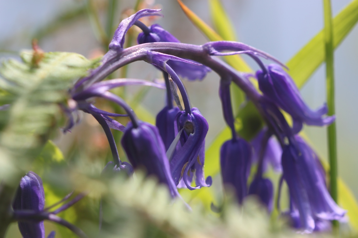
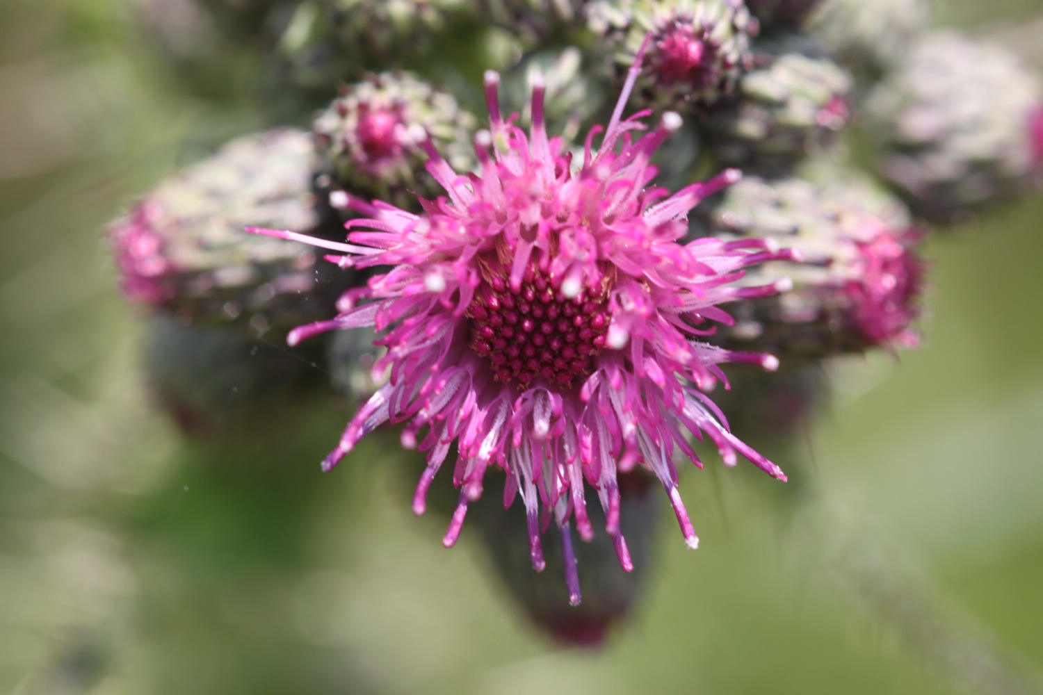
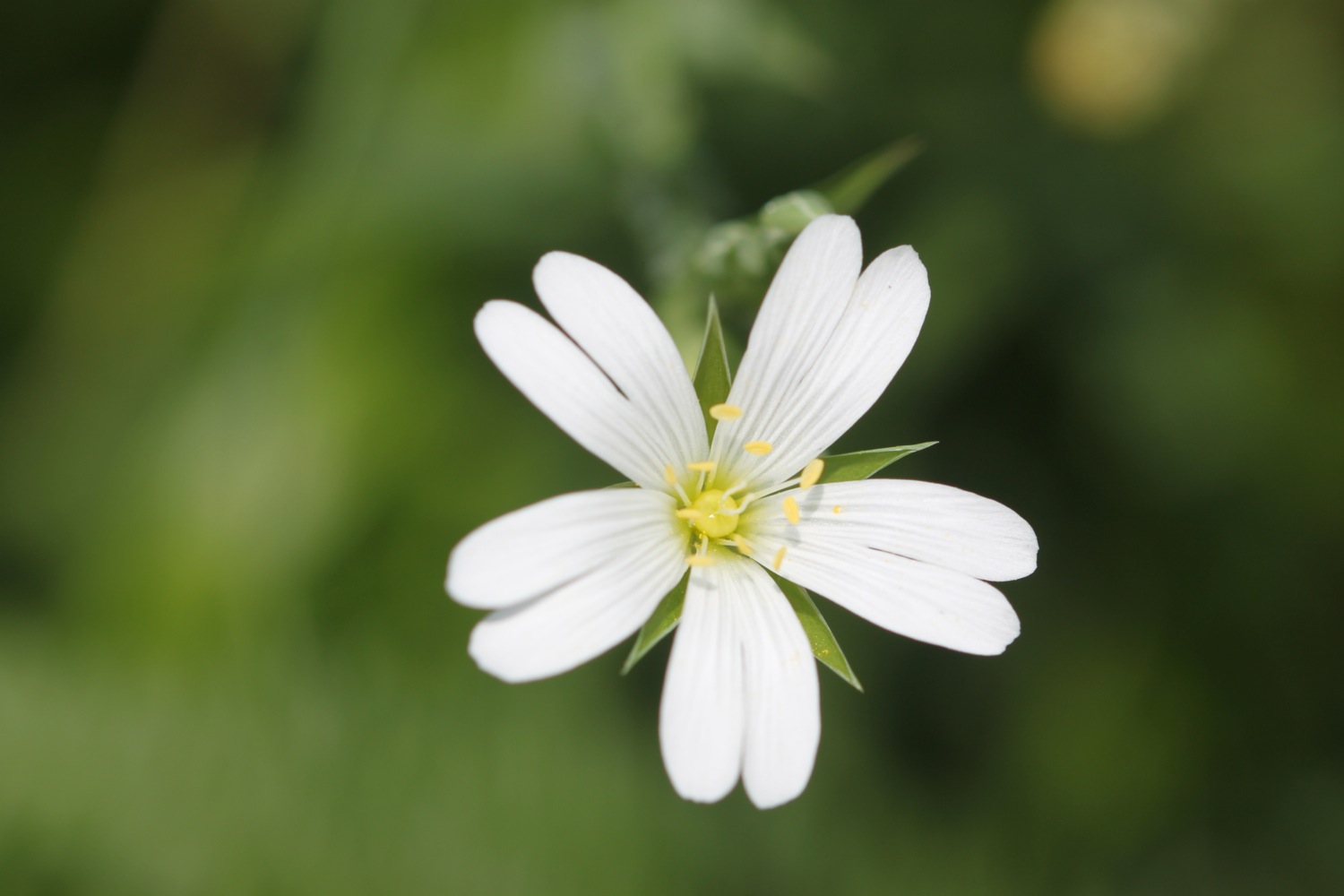
I enjoy wandering along the beach before heading back to the coast path where I pass through woods smelling of garlic before heading around Gribbin Head. I enjoy the wild flowers here which are looking at their best.
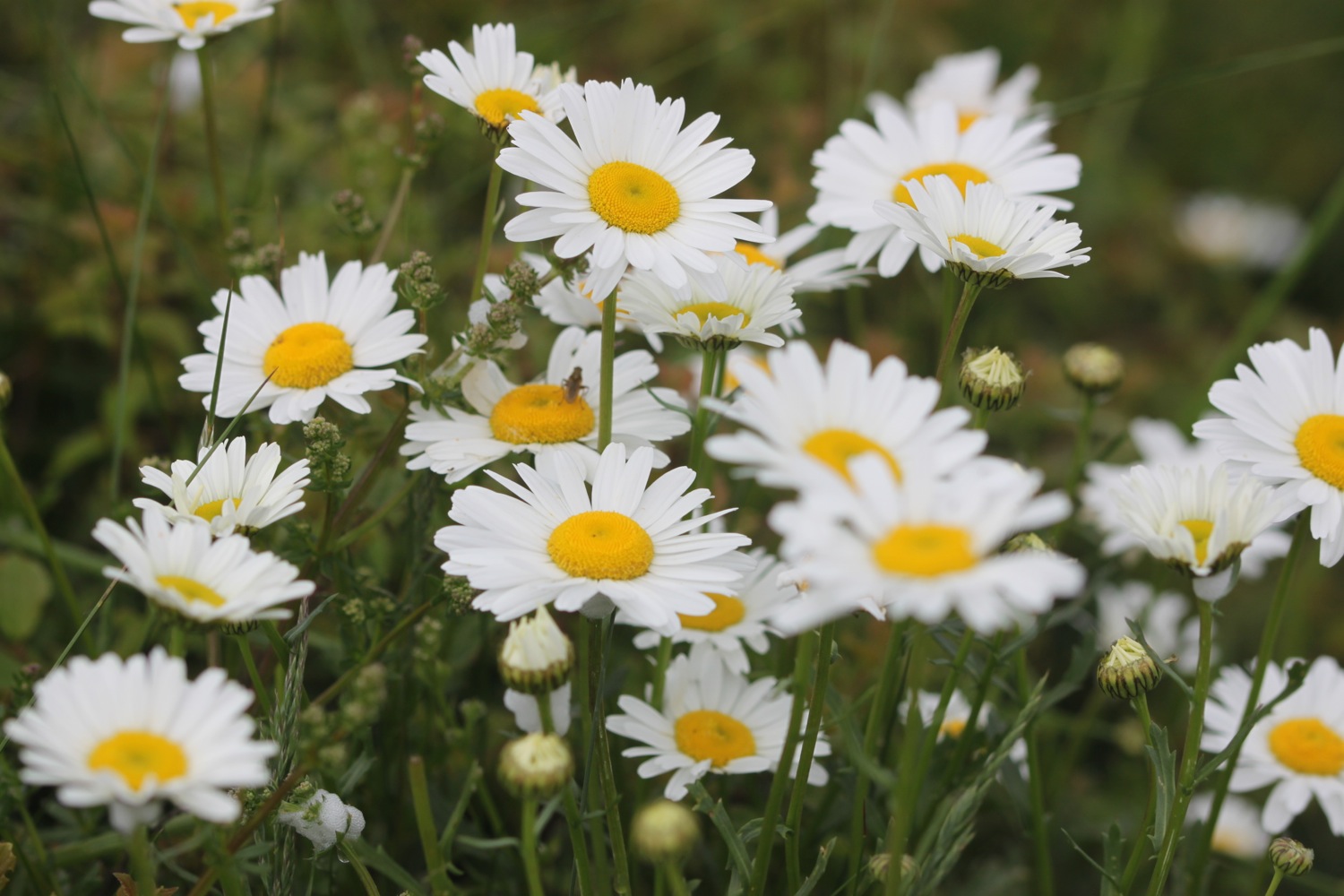
I pass below the 84 foot red and white Gribbin daymark, erected in 1832, enabling sailors to pinpoint the approach to Fowey's harbour, and head on down the slopes. Several joggers pass me on the slopes. The slopes are covered in wild flowers.
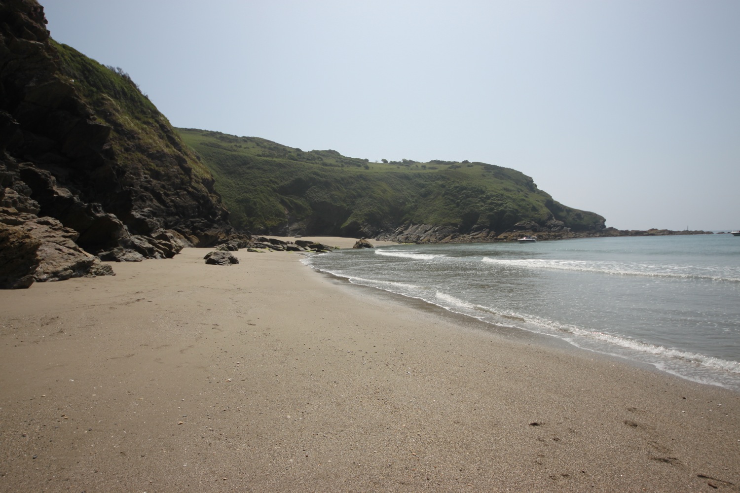
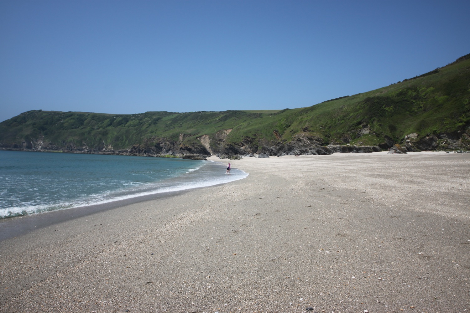
The path descends to the south facing beach at Polridmouth Cove, which actually consists of two beaches. The first beach is packed with a father, son and dog playing on the beach but the second beach is completely deserted, so I wander along the beach for a bit, enjoying the solitude.
polridmouth cove
deserted polridmouth cove
I head up onto Lankelly Cliff and Southground Cliffs. I pass Coombe Haven which is also completely deserted.
coombe haven
The sun is starting to break through the mist and it's starting to get rather hot. I have lovely, if misty views, over to Polruan.
misty view over to polruan
I continue to Penventinue Cove passing the remains of St Catherine's Castle, one of a pair of small artillery forts built by Henry VIII in the 1530s to defend Fowey Harbour.
st catherine's castle
I now have lovely views over to Fowey.
view over fowey
I continue along the coast path and arrive at Readymoney Cove Beach, a small, sheltered sandy beach. It's a little busier here with a few people enjoying the beach.
readymoney cove
I head along Readymoney Road where I take up with local dog walkers and then head along the Esplanade which takes me on to Fowey. I have more lovely views over to Polruan.
views over polruan
The ferry crosses the river above the centre of Fowey at Whitehouse slipway so I see very little of Fowey. I wait for my ferry crossing on the slipway and catch the Lady Jean ferry over to Polruan.
catching the ferry at whitehose slipway
The ferry crossing takes five minutes, I guess, and costs me the princely sum of £2. I depart the ferry at Polruan and wait for my fellow passengers to disperse so that I can enjoy the fine views along the River Fowey.
departing the ferry
river fowey
After crossing the River Fowey a small, sandy beach can be found at Polruan Quay unless the tide is in, which it isn't today.
sandy beach at polruan quay
I continue on my walk at the Lugger Inn on The Quay at Polruan before passing Polruan's second pub the Russell Inn. Although it is still relatively early, both pubs seem to be open but it's time for some serious walking.
lugger inn
russell inn
I climb out of Polruan and enjoy the lovely views over the village.
view over polruan
The path climbs to reach the National Coastwatch Station where I have some magnificent final views back over the Fowey estuary. It is starting to get very hot now.
view back over fowey estuary
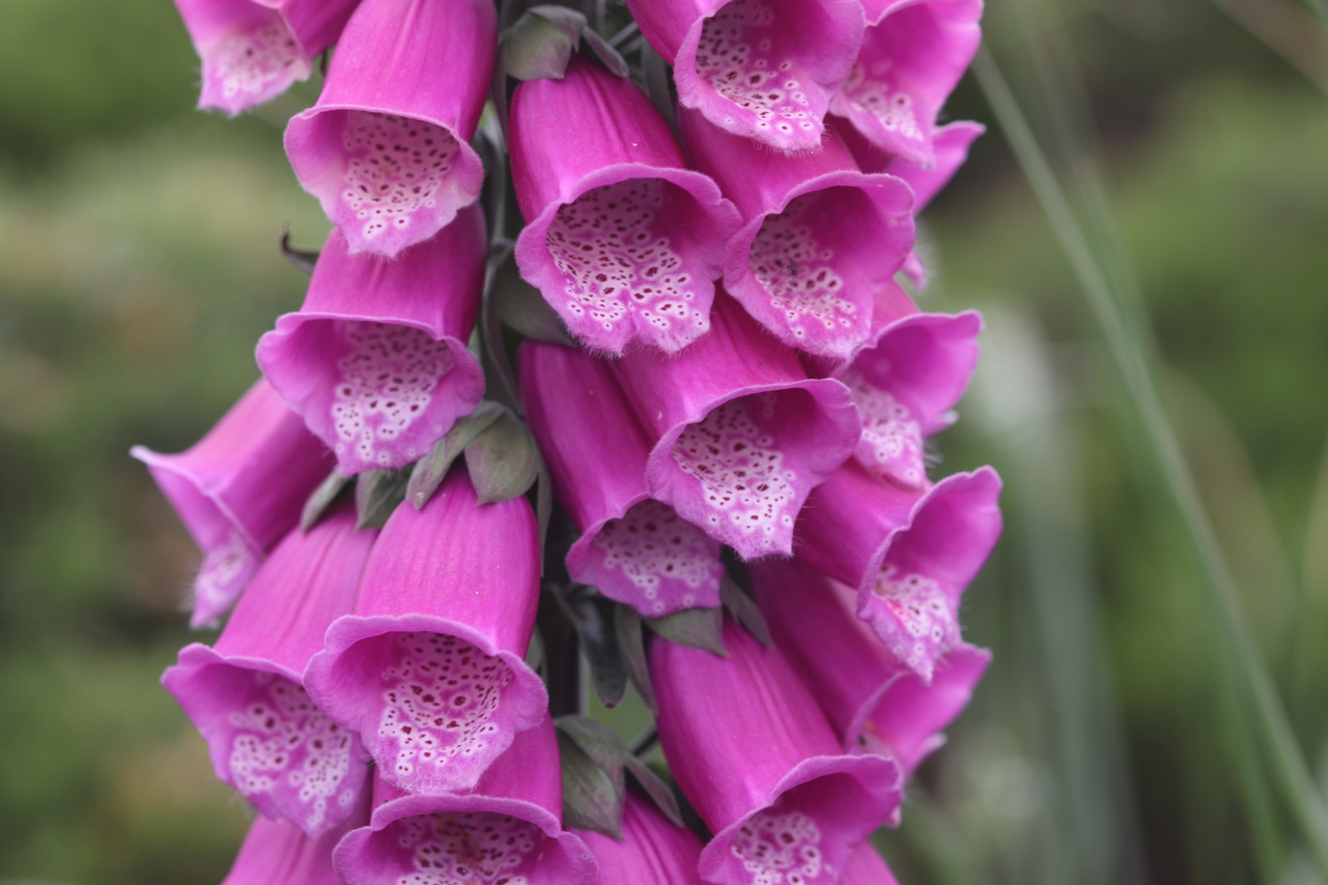
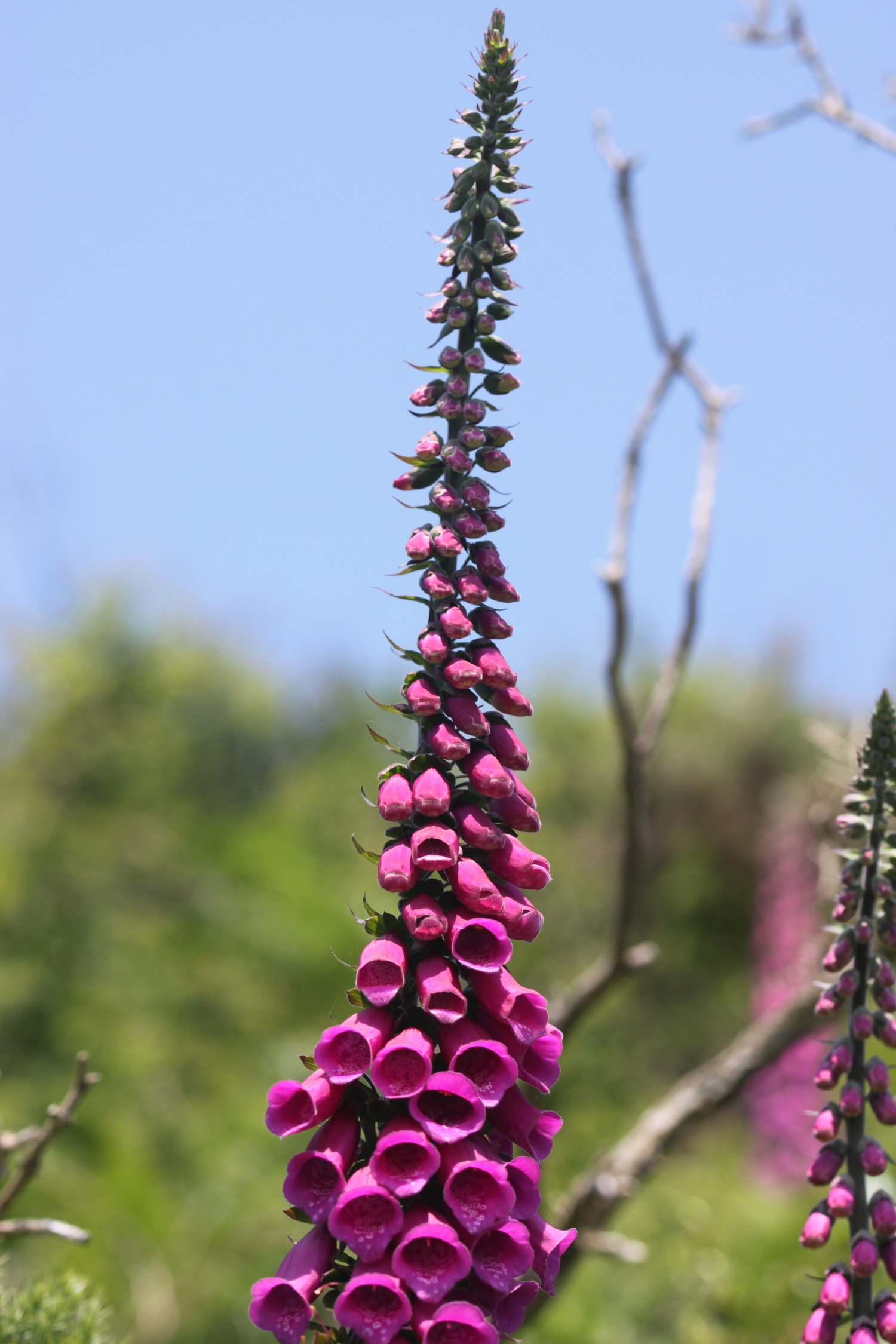
I continue along the coast path towards Lantic Bay and ignore the coast path signs and, instead, head down the steep climb to the beach, passing foxgloves enjoying the view over the beach.
foxgloves over lantic bay
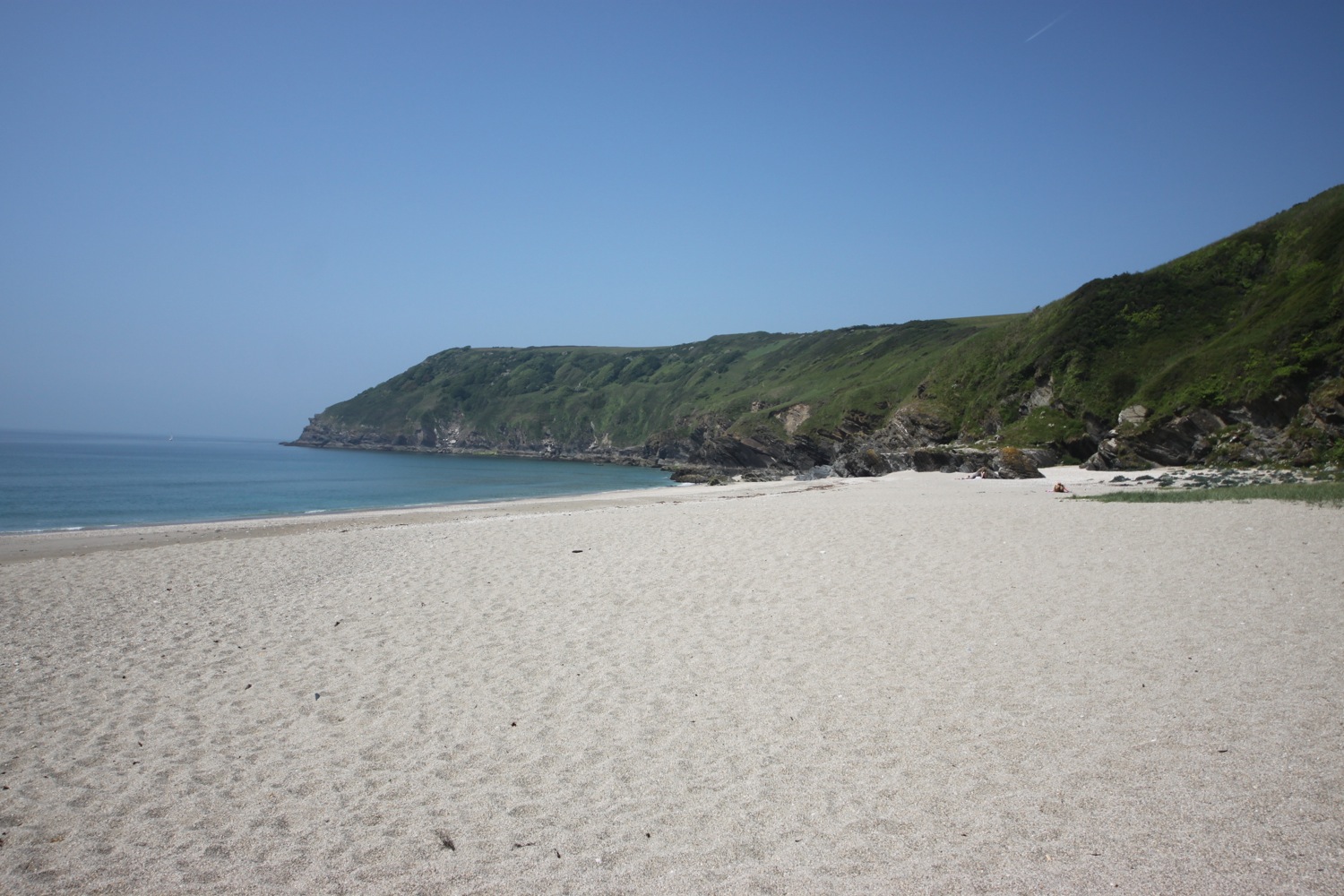
A white sand and shingle beach is found at Lantic Bay, and is one of the finest beaches on the South West Coast Path. Due to its isolation it is normally very quiet but there are quite a few people on it today.

On leaving the beach the path heads towards Pencarrow Head where I have some final magnificent views back over Lantic Bay.
view back over lantic bay
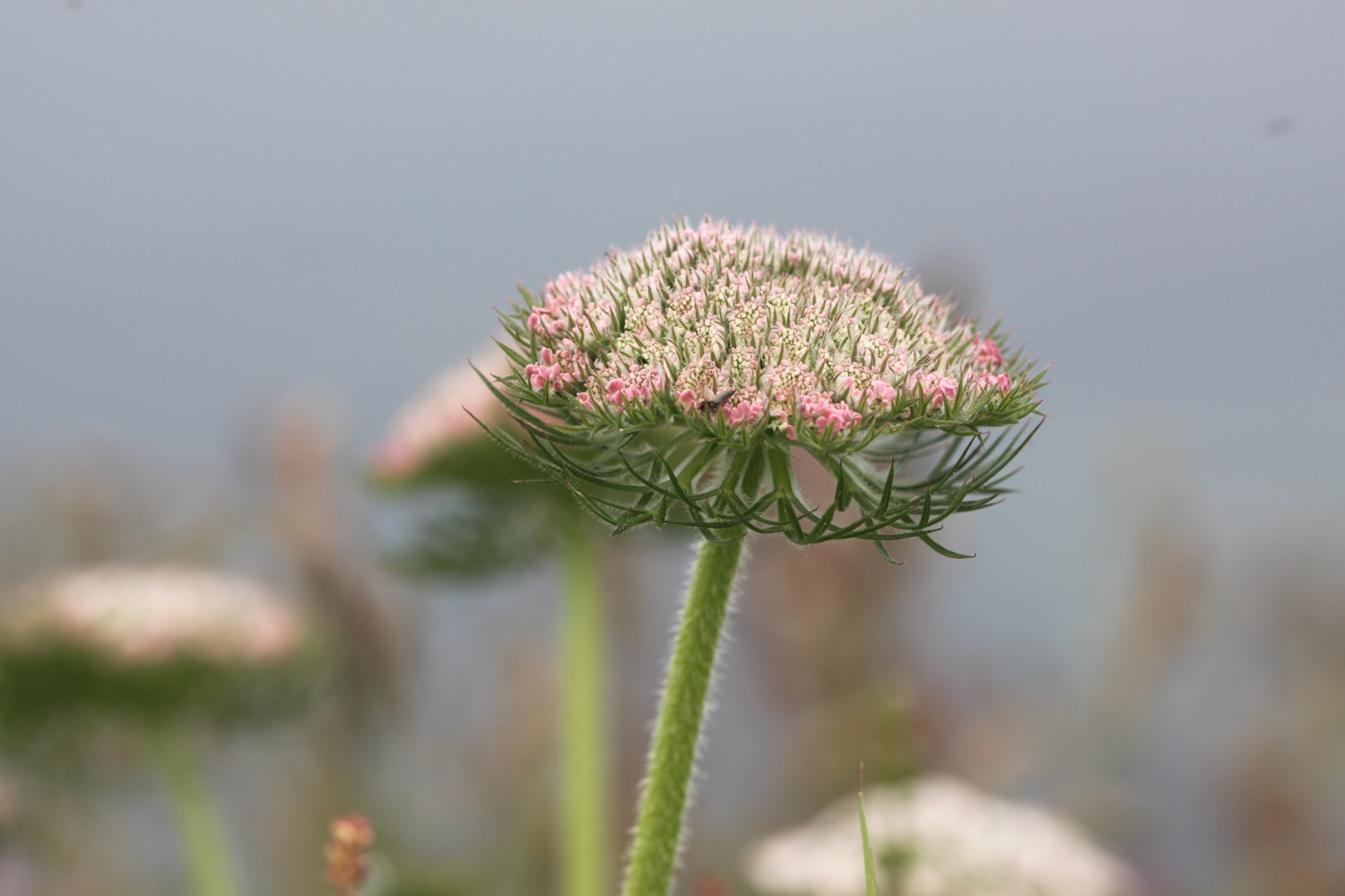
I enjoy more wild flowers on the rugged coast.
The path becomes a roller-coaster ride passing over Watch House Cove, Palace Cove and Sandheap Point before dropping steeply into West Combe and over a footbridge above a waterfall. The coast path turns to the left but I head to the right instead to gain access to the lovely Lansallos Beach.
waterfall above lansallos beach
The beach is a small, sheltered sand and shingle beach and, as far as I know, is in the middle of nowhere but for some reason is heaving with people!. It's not even marked on my Ordnance Survey map.
heaving lansallos beach
I enjoy the beach for a while but it's time to tackle the tough last section of coast to Polperro.
leaving lansallos beach
Back on the coast path I pass a group of ponies who seem to have descended on a family having lunch.
ponies
More footbridges are encountered before passing an obelisk daymark.
daymark
The going around here is tough and I just seem to go up and down cliffs. I pass by Broad Cove, Shag Rock, West Penslake Cove, Penslake Cove, Blackybale Point, Colors Cove and Nealand Point and I have fine views over towards Polperro although the village is out of view, tucked away behind its harbour.
Chapel Cliff is reached and then I come across a rocky patch, finally with fine views over Polperro's harbour.
polperro
The path climbs down to the village where steps take me down to the harbour. A small, sandy beach can be found here just outside of the harbour wall, only available at low tide but the harbour is teeming with people so I head back past the Blue Peter Inn and by the fish landing area where a fisherman is busily shucking scallops.
blue peter inn
At the head of the harbour I head up the village near to the House on the Props.
polperro harbour
I finish the day by wandering up through the rather busy village to the car park at the top of the village. On the way I stop off to thirstily suck on an orange Calippo ice lolly. Utter bliss! It has been a hot, hot end to the day.
polperro village
FLORA AND FAUNA
Flora and fauna encountered on the walk today includes :-
- foxgloves
- early purple orchids
- goldfinches
- sheep
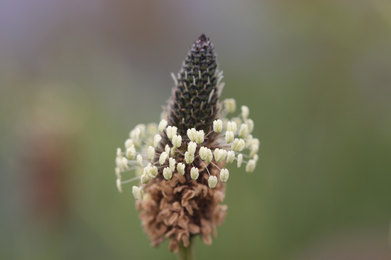
- ribwort plantain
- house martins
- wild garlic
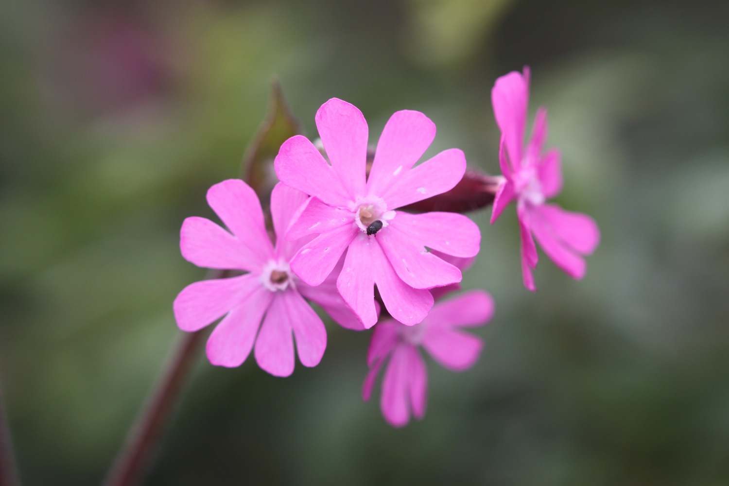
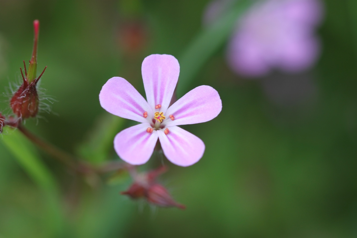
- red campion
- chiffchaffs
- skylarks
- a heron
- red admirals
- peacock butterflies
- oystercatchers
- stonechats

PODCAST
The podcast of today's walk is now available. You can subscribe via the iTunes store or listen using the player below.

MARKS OUT OF TEN?
According to my phone I've walked 15.6 miles today which amounts to 36613 steps. It has been magnificent walking today in what turned out to be very hot weather. Doesn't get much better than this. Ten out of ten!
My total ascent today has been 737.10 metres or 2418 feet.

video
polmear to polperro from Mark Seymour on Vimeo.
map
early purple orchid
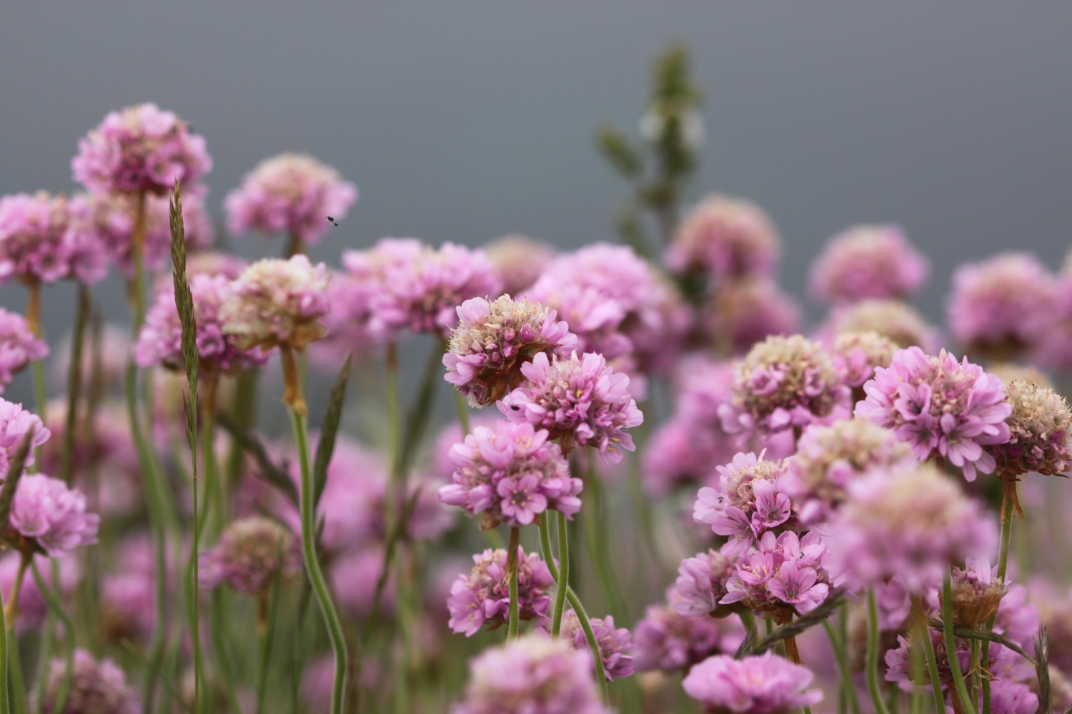
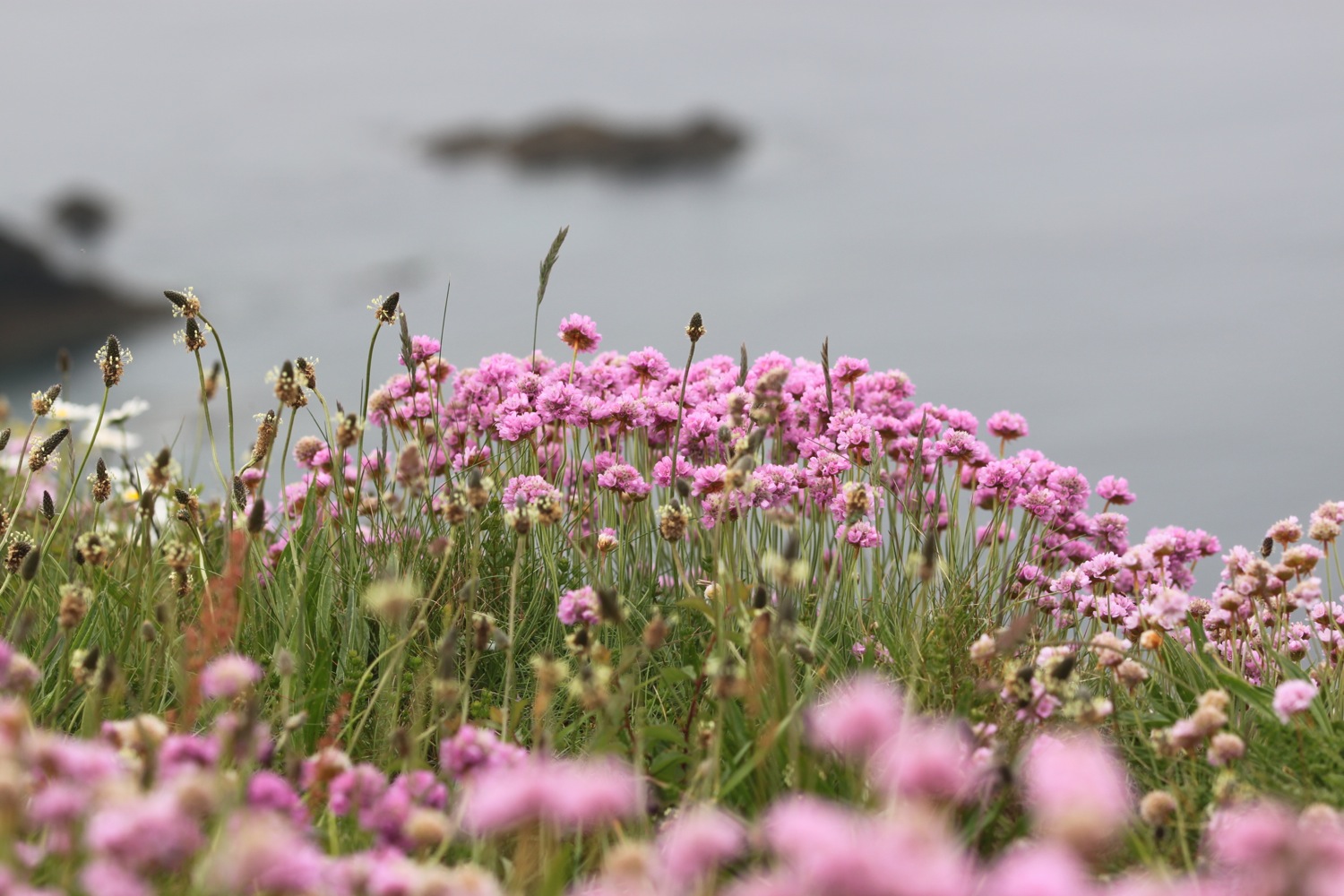
sea thrift on gribbin head
overlooking the fowey estuary
polperro
beach collection