sidbury to woodbury castle
east devon way
sunDAY, 4TH june 2023
Start location: Sidbury (SY139919)
End point: Woodbury Castle (SY032872)
Map: Explorer 115
The weather forecast for the entire week looks fantastic. Today should be sunny and warm all day long.

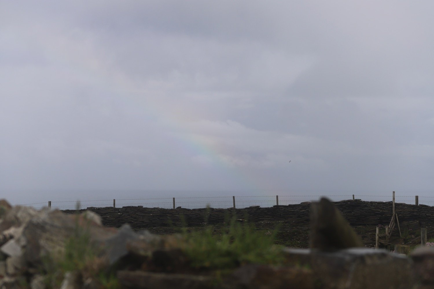
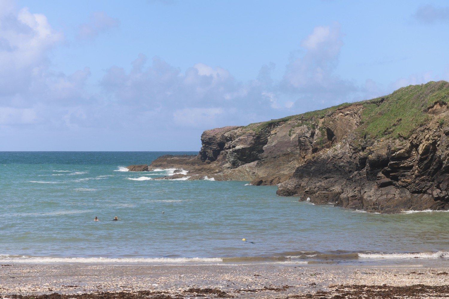
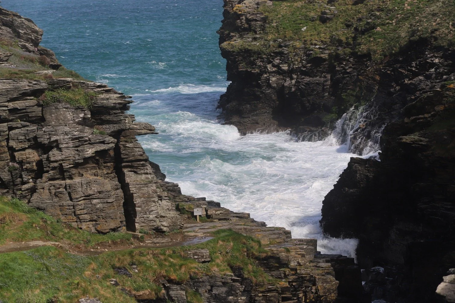
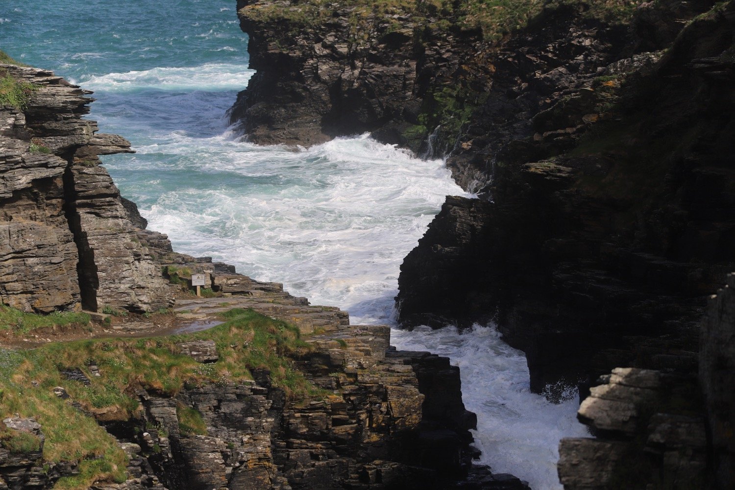
Although I will only get glimpses of the sea today I’ll include the tide times for Lyme Regis.
Lyme Regis high tide 07:30
Lyme Regis low tide 12:56

I start the day at the car park behind Sidbury Village Hall and I head into the village, passing St Giles Church and the Red Lion pub.
sidbury
st giles
the red lion
Further on just after a stone wall I turn right along a footpath signed to White Cross.
footpath to white cross


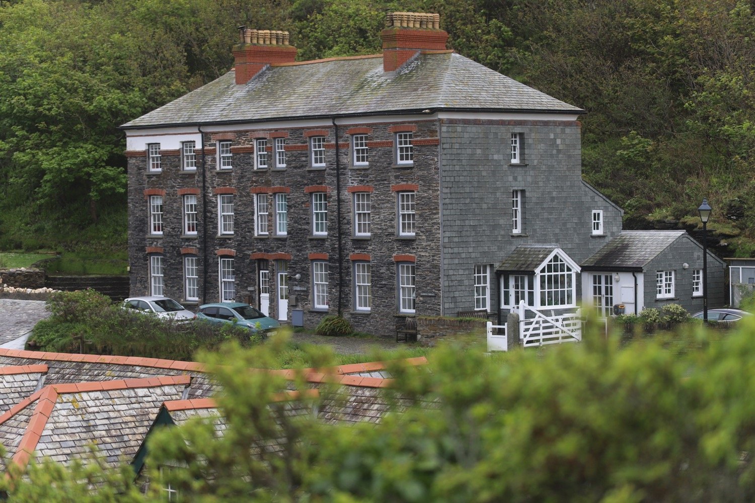
On my right I first pass Court House with its stone mullioned windows, then the stone pillars and black-and-white gabled gatehouse to Sidbury Manor. I walk straight on, with some thatched white cottages away to my left, and soon reach a field gate. I go through the gate and follow the hedge on my right.
At the far corner of the field I follow the footpath sign to the right, pausing for a moment to look behind me at the pine-covered hill behind Sidbury which I walked through a year ago. I go through a metal gate and turn right on to a lane.
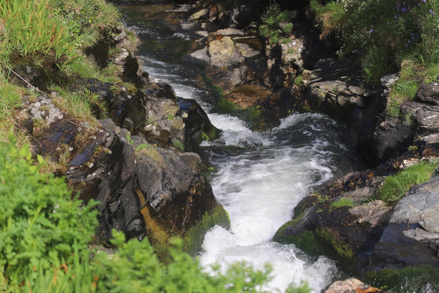
This lane becomes a track after it crosses a babbling brook where I keep to the left. I pass the thatched Goosemoor Farm on my right, continue ahead through a gateway on a track hedged on both sides.
I walk along an overgrown path where I come across a stinky gate blocking the path. It won’t open and is leaning at a terrible angle so I’ve got no choice but to shove my bag underneath and scramble over.
stinky gate
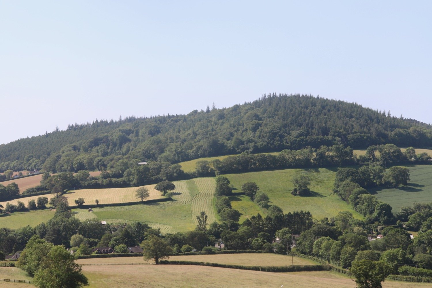
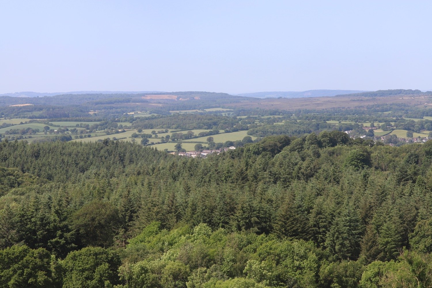
At another gate I continue straight on uphill through the centre of a large field. After the next gate I go diagonally left across a field towards the line of tall pine trees at the brow of the hill. I have lovely views over the rolling countryside.
views over countryside
I walk along a track with a wire fence on the right. At the next gate I go straight on, keeping a small copse on my left, then at the end of the copse I continue straight ahead to go through a gate and reach a lane.
I cross over the lane and go left into the Forestry Commission woodland. This is White Cross, with a small car park area. I follow the track for half a mile walking slowly behind a horse and pass Hollow Head Cross where, shortly afterwards, I bear right at a fork.
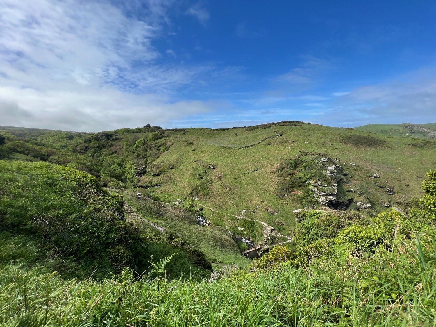
I go though a gate on to Fire Beacon Hill Local Nature Reserve on Harpford Common.
fire beacon hill
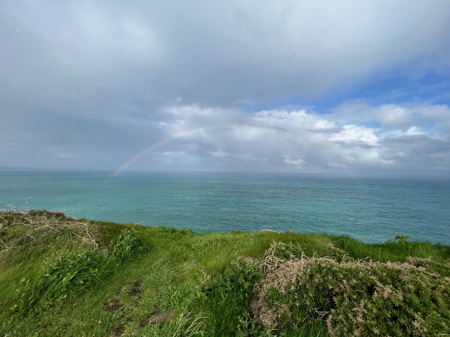
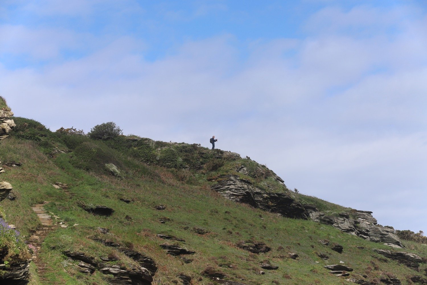
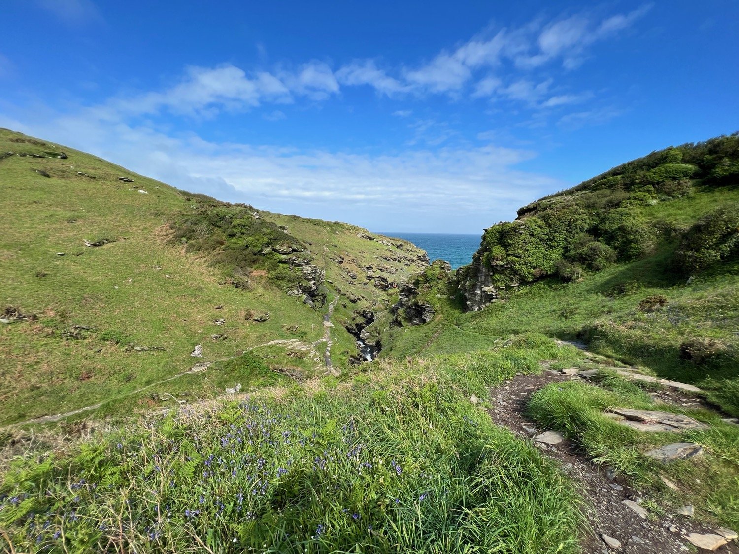
I take the left fork by the interpretation board and continue on the plateau with distant views of the sea.
interpretation board
I start to descend, following the track - which is fairly steep and rocky - down then round to the left.
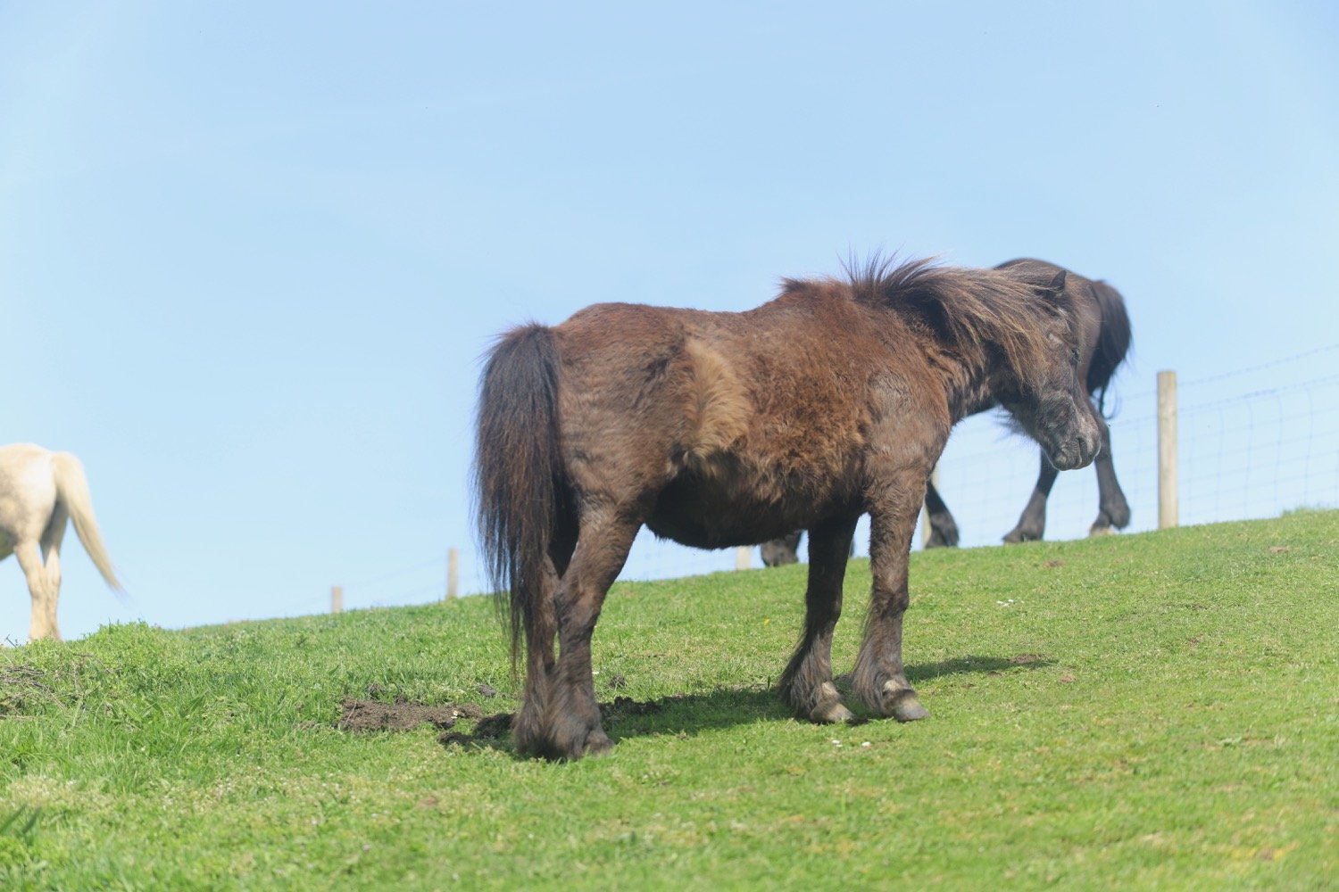
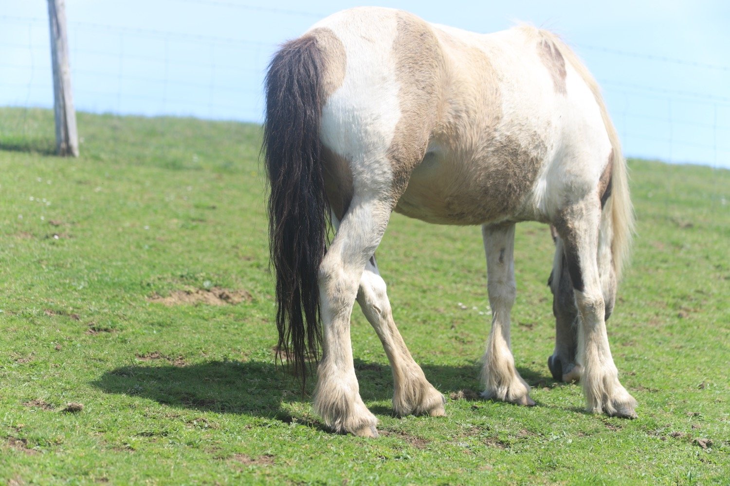
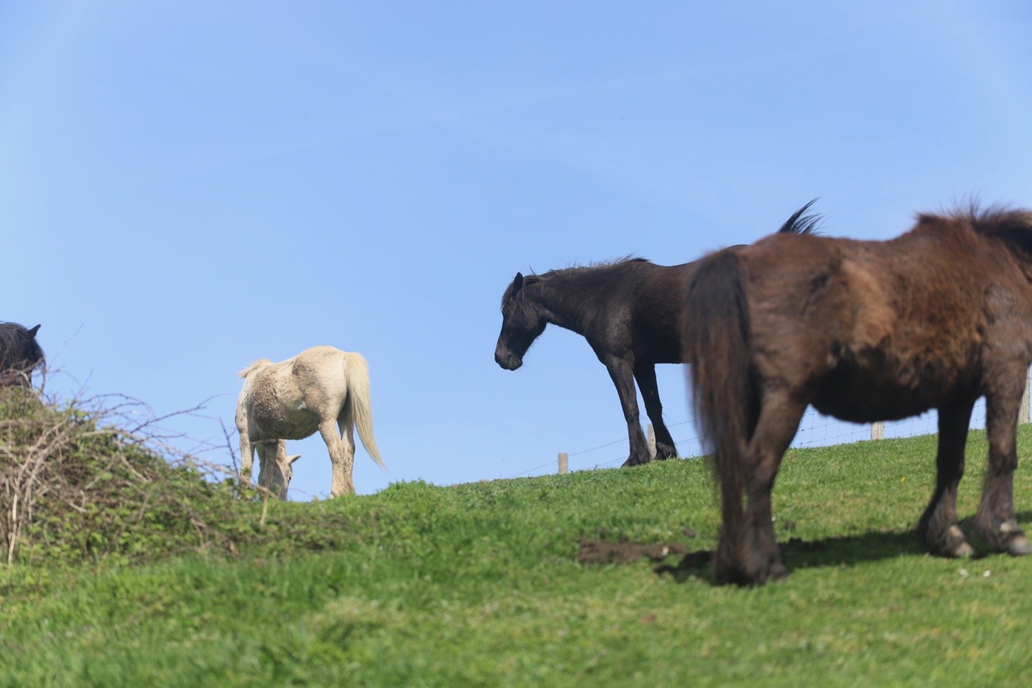
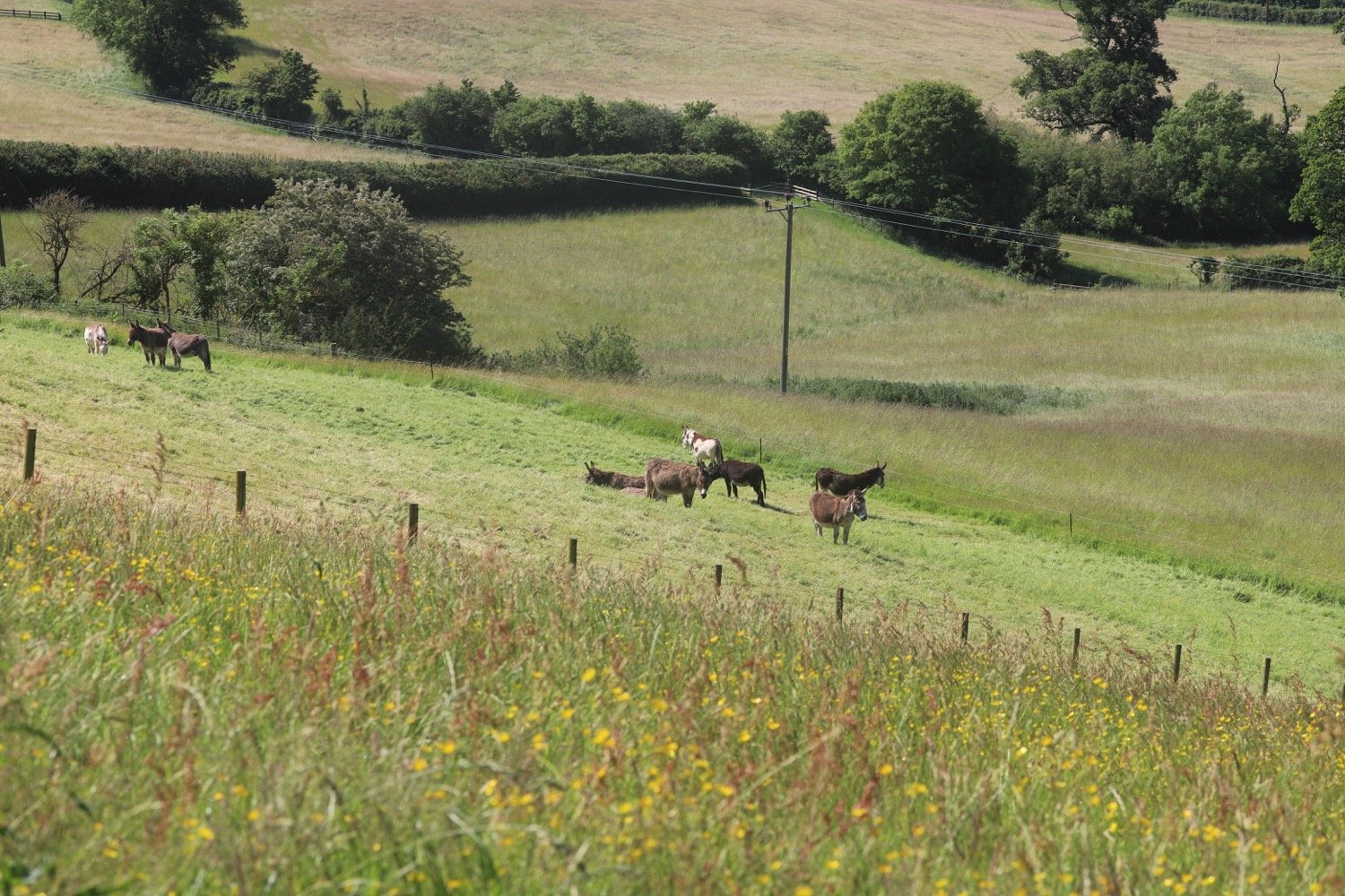
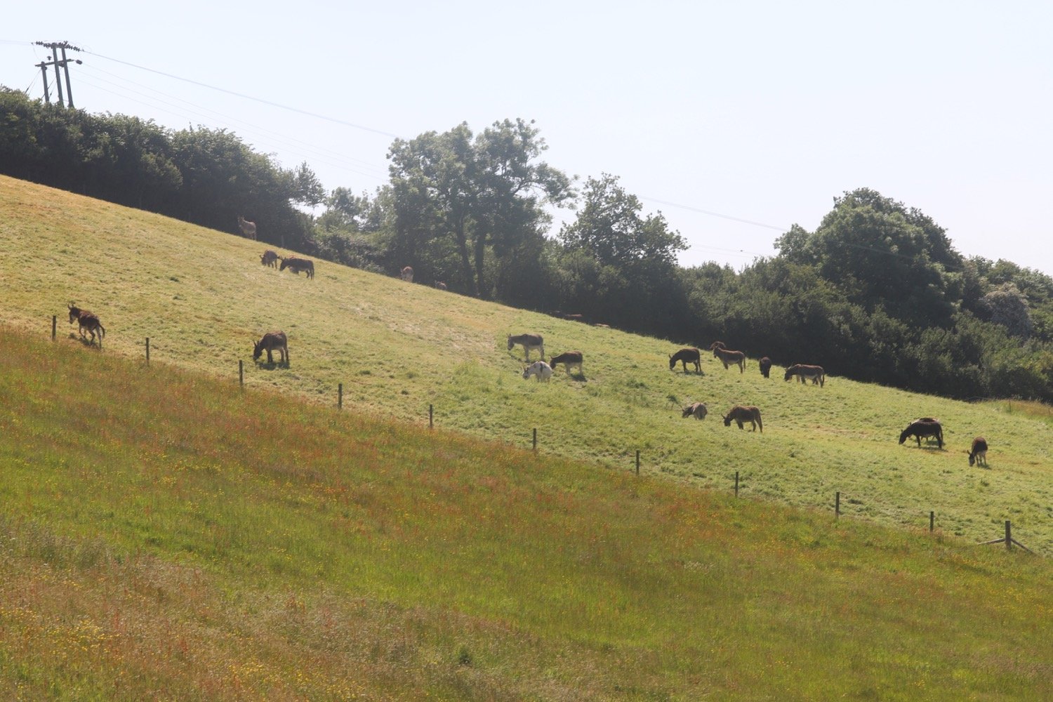
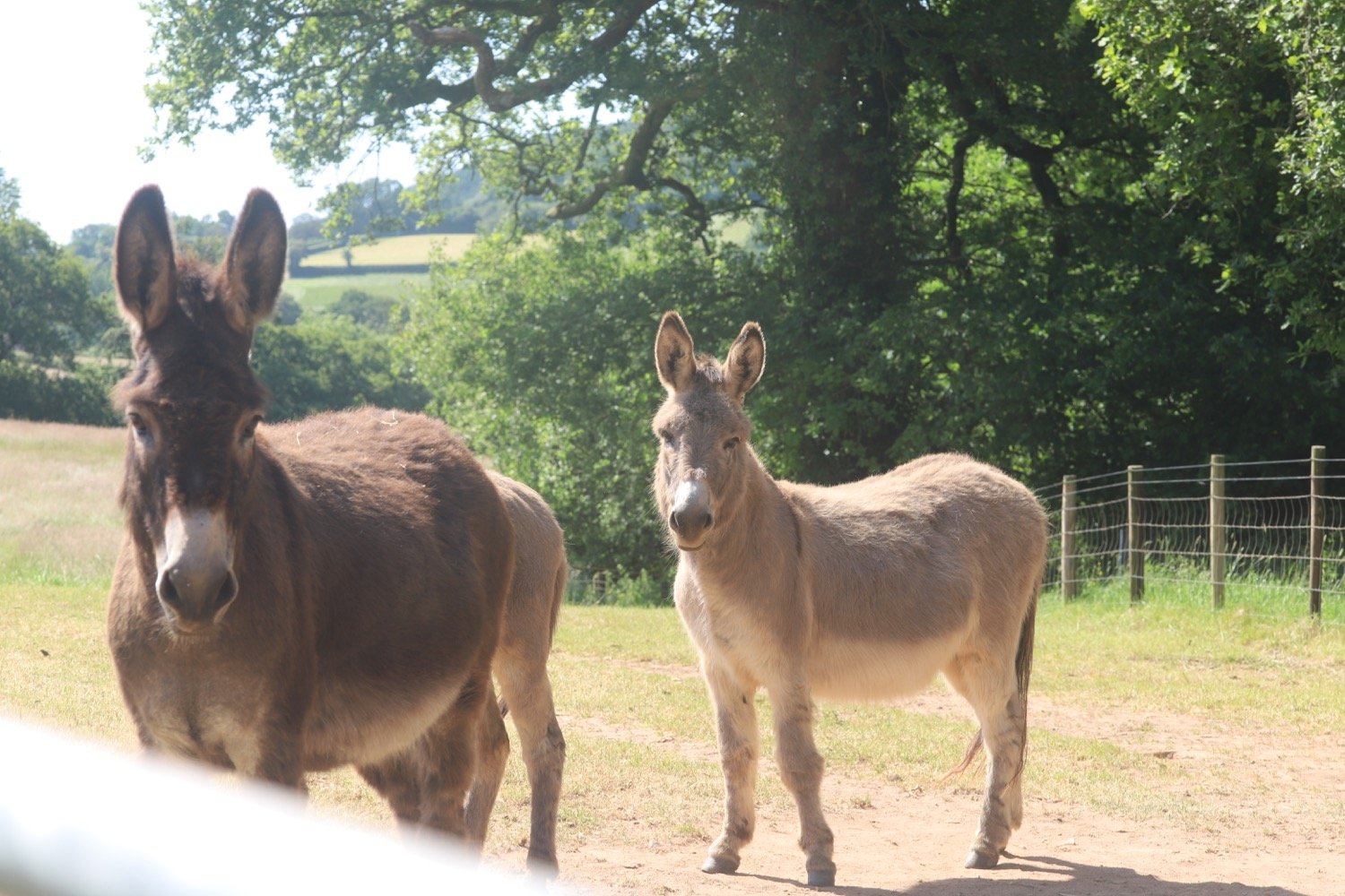
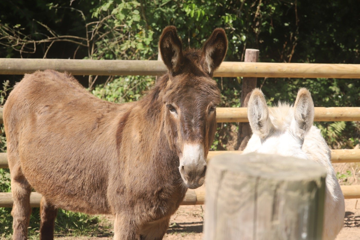
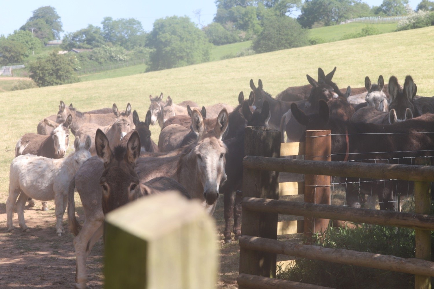
I continue down the hill and at a Nature Reserve notice board on my left I turn sharp right on a more level path. At the bottom, I turn right on to a lane, and shortly take the footpath on the left down some steep steps through a gate into fields where I come across donkeys.
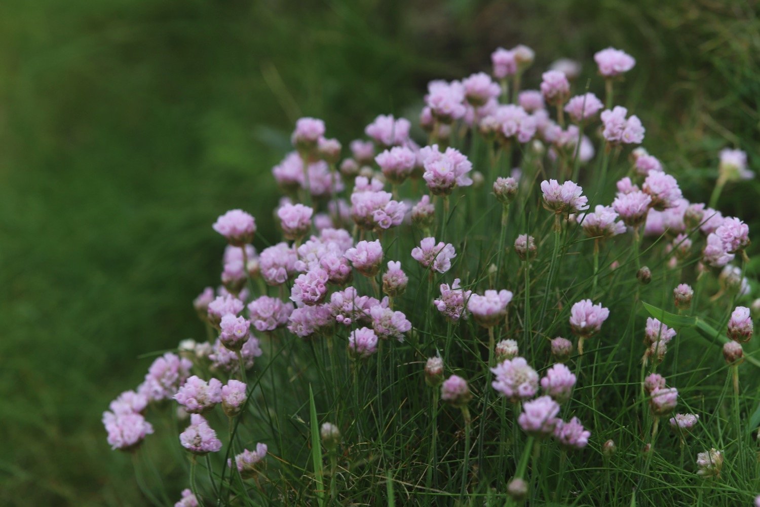
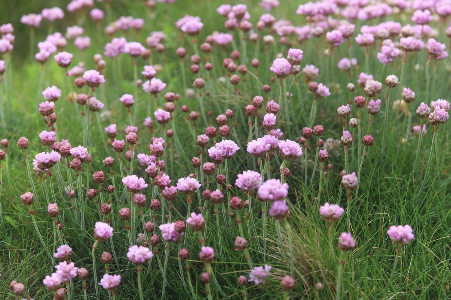
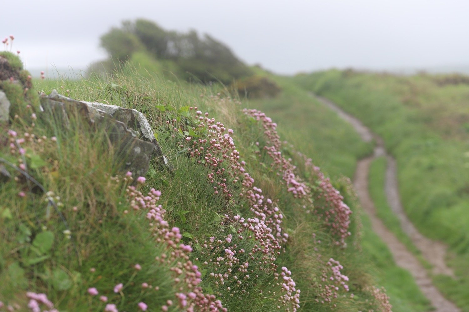
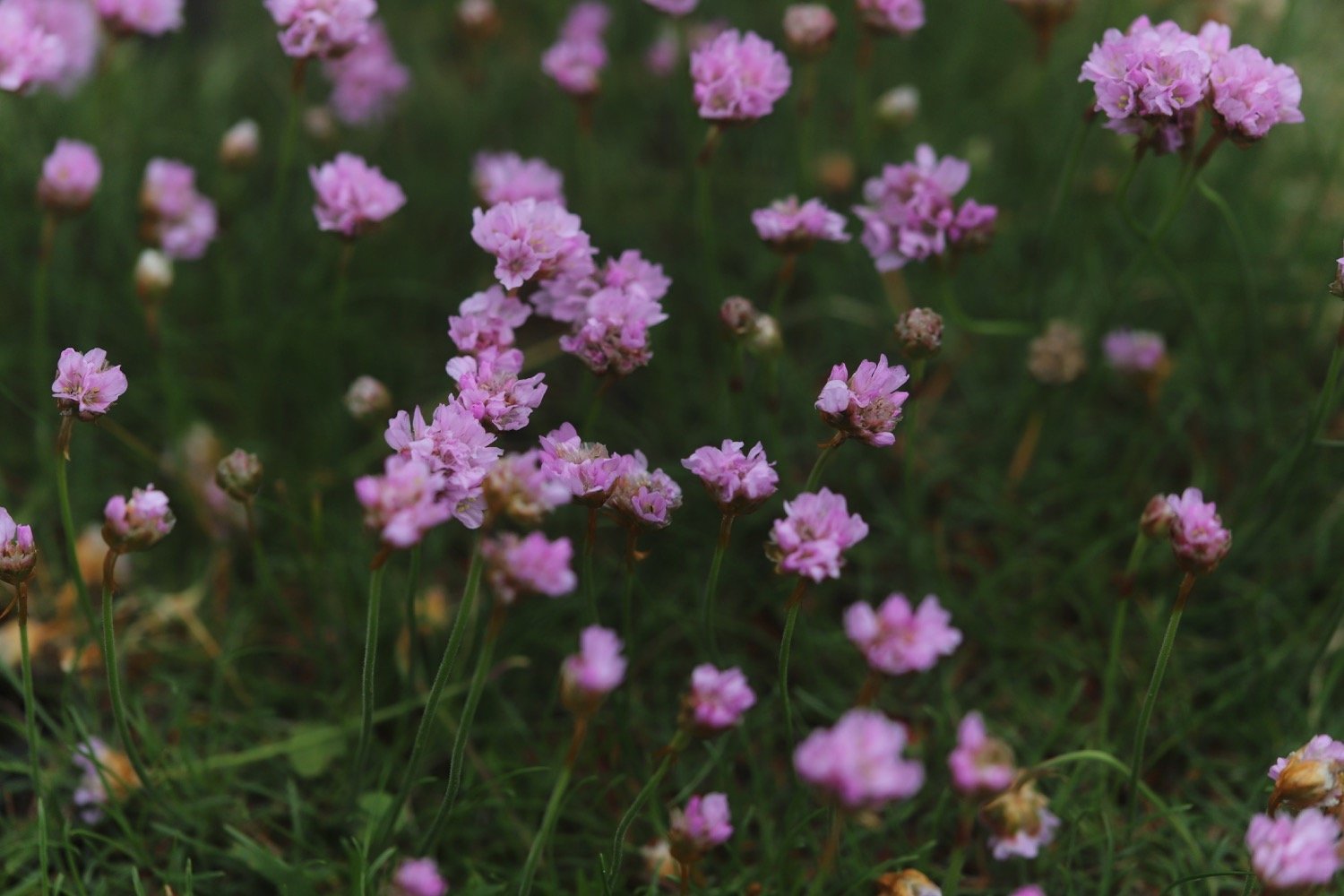
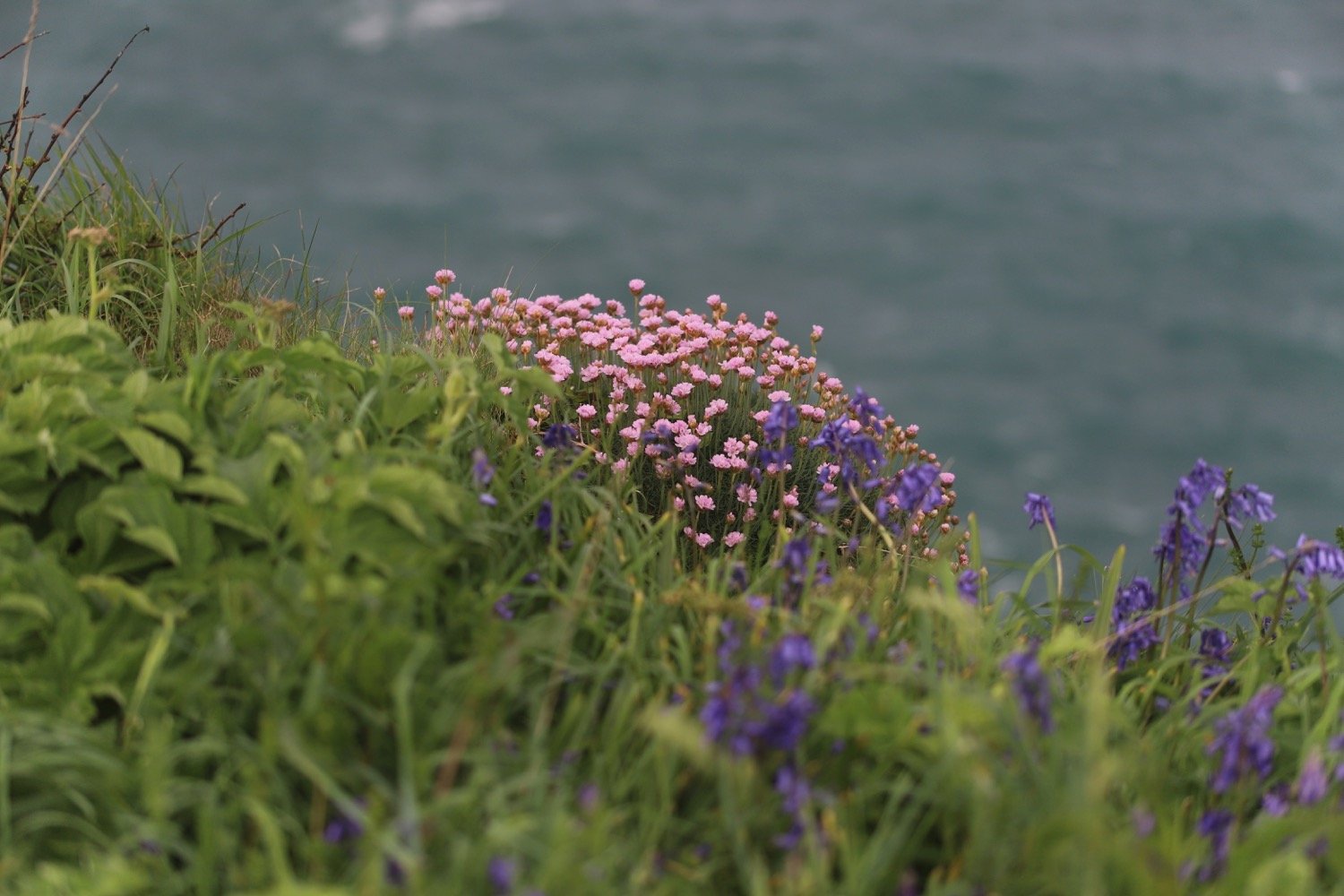
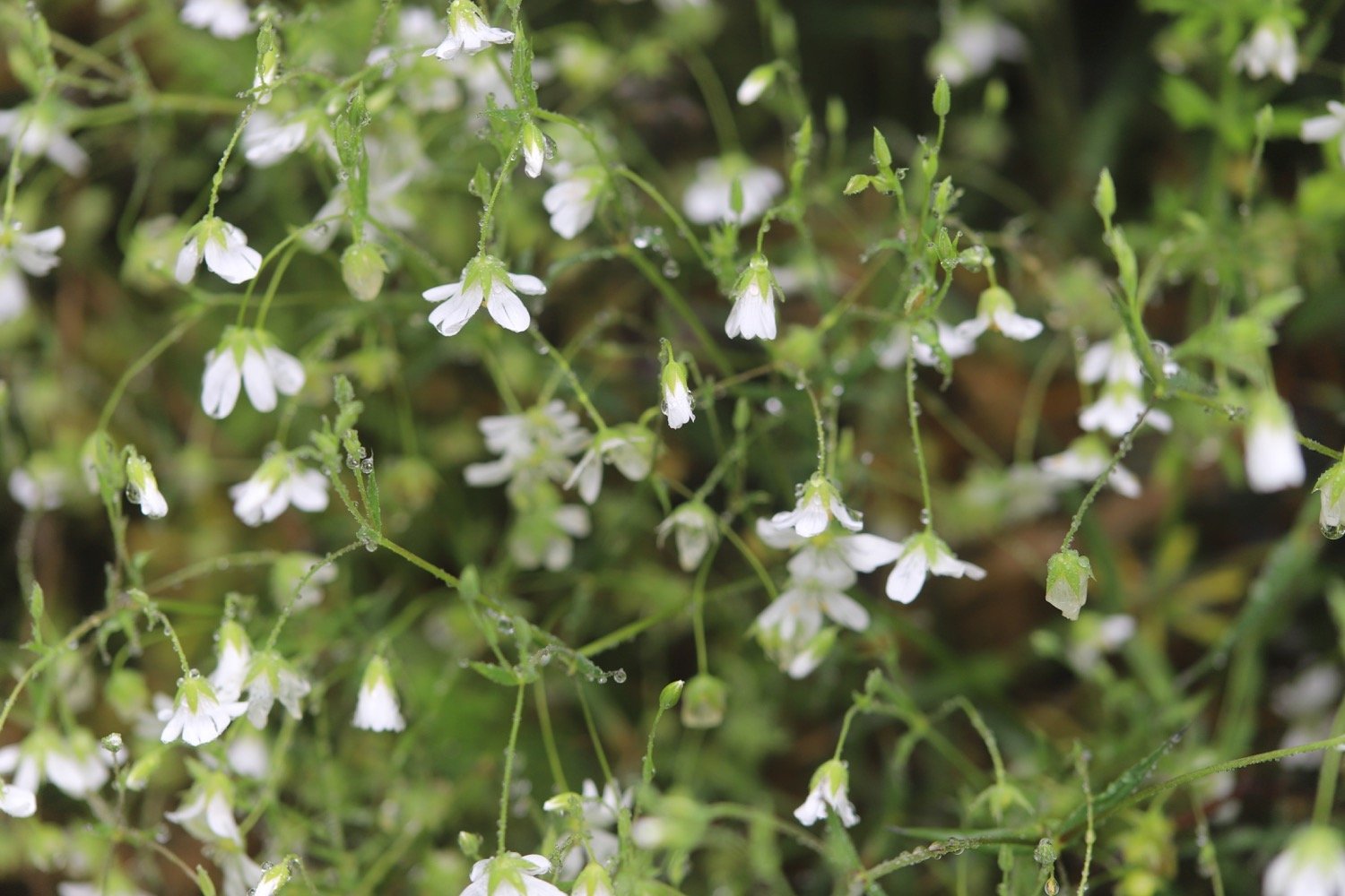
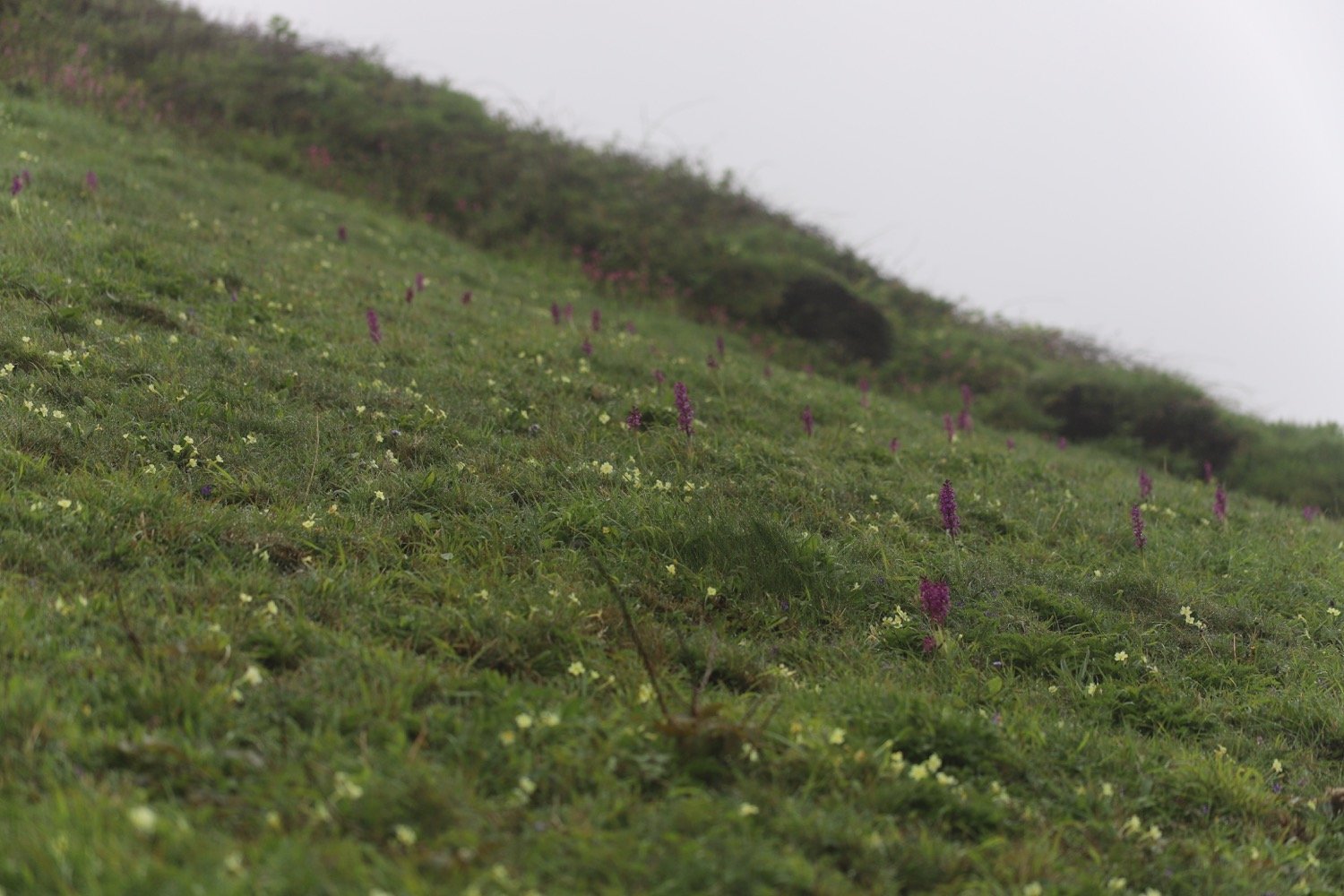
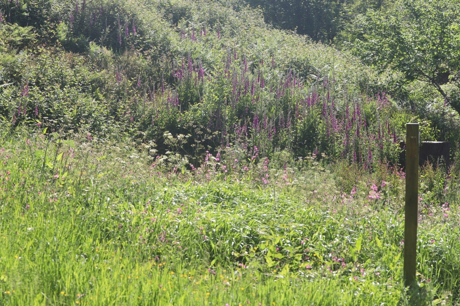
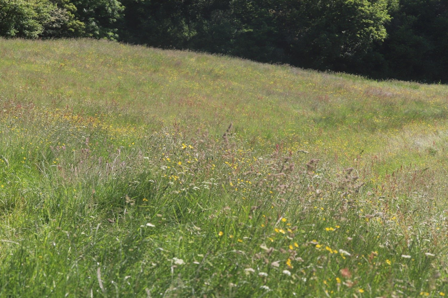
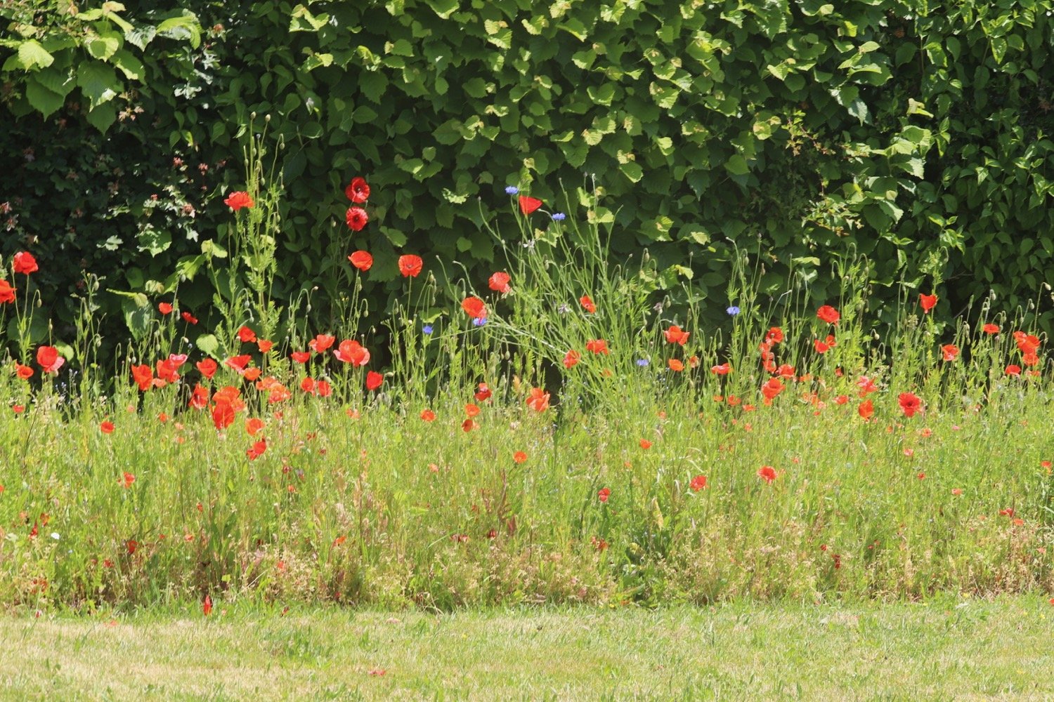
I walk down a steep field admiring the wildflowers and the views.

I keep the field boundary to my right, aiming towards the gate at the bottom, which leads to the B3176 road.
I cross over into Harpford Wood, owned by Clinton Devon Estates, where I am immediately warned to keep off the log stacks.
KEEP OFF LOG STACKS!
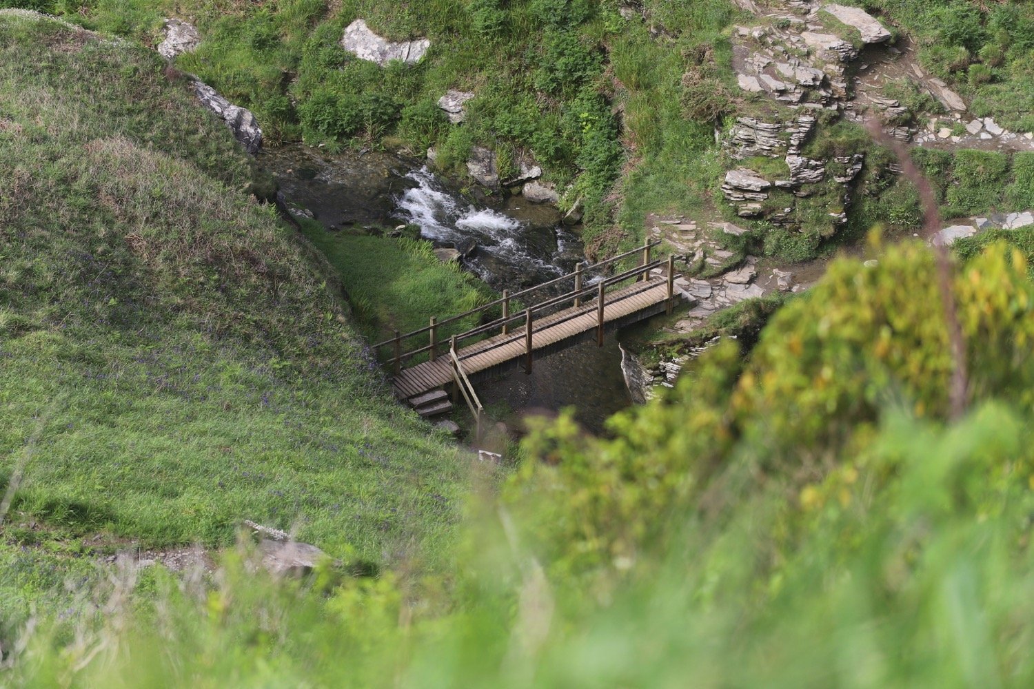
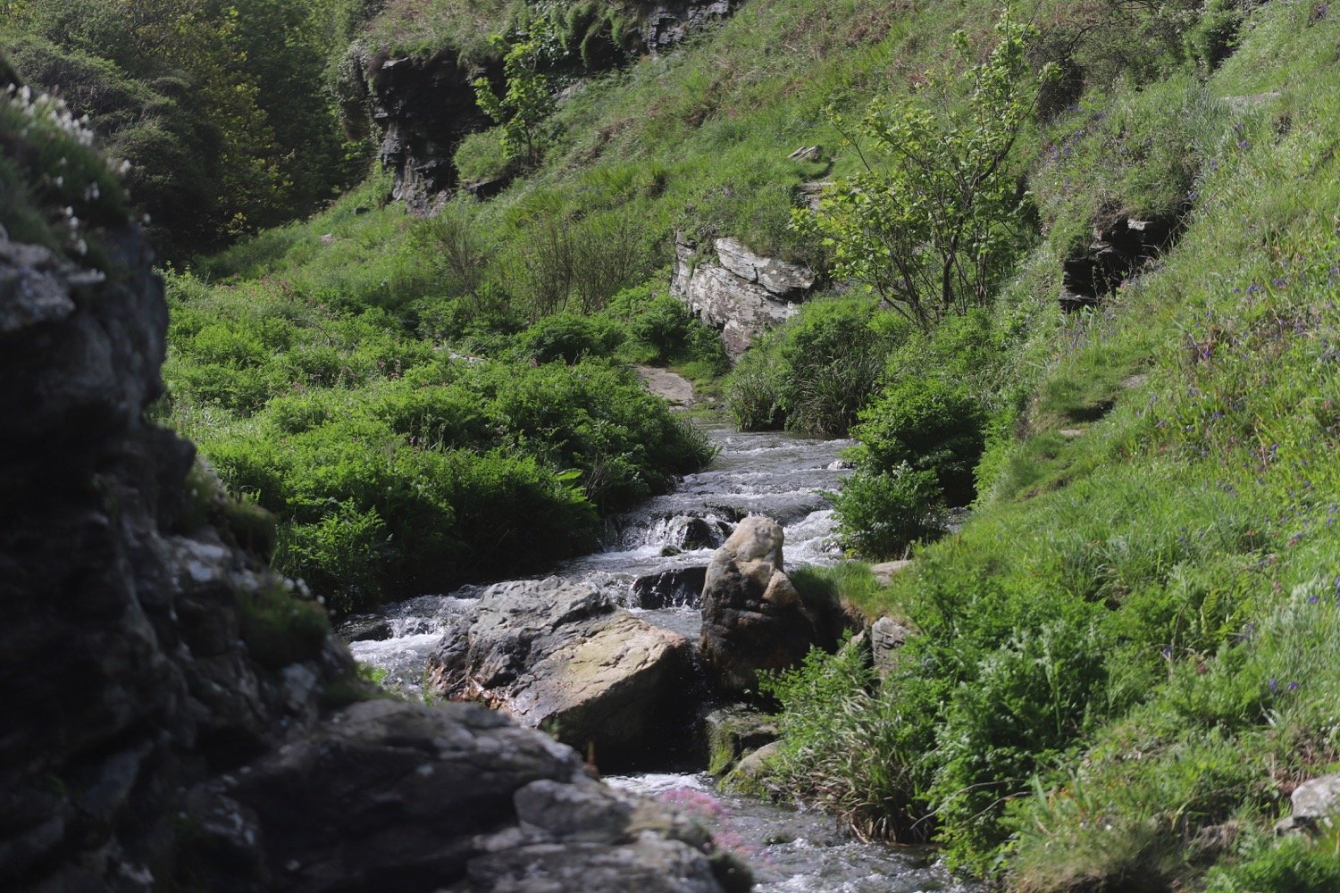
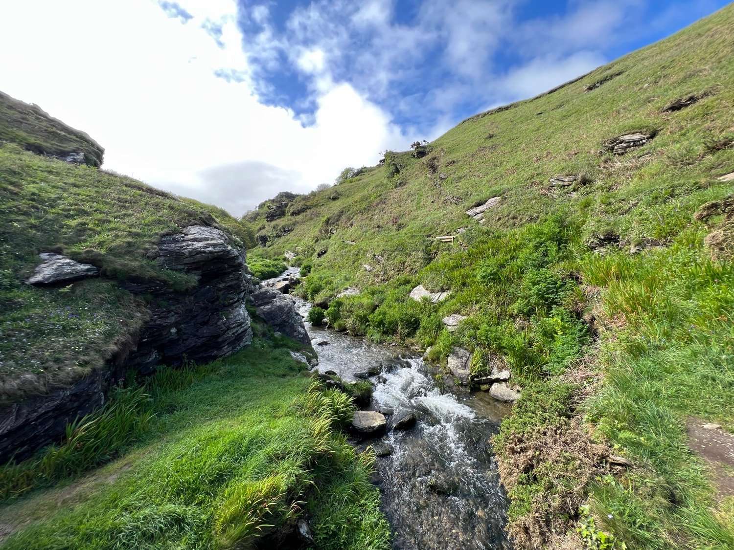
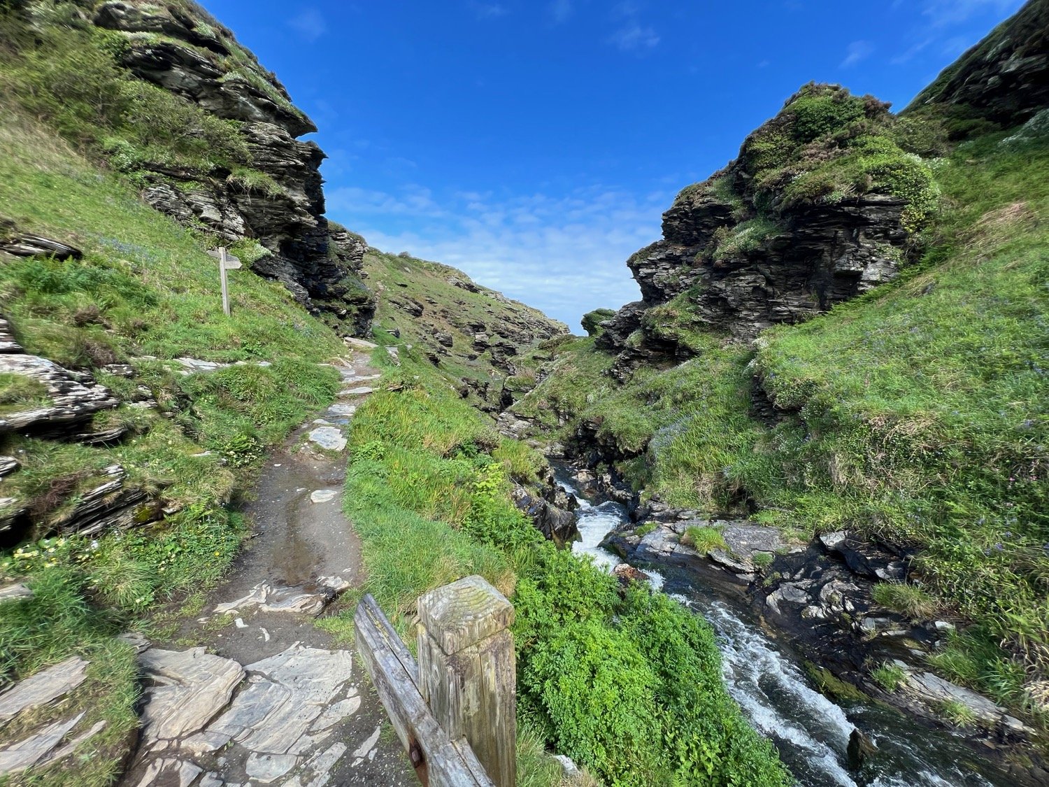
Once in the wood I discover the Victorian old railway bridge which I walk underneath, towards a sandstone gulley with a stream, which runs through the woods.
railway bridge
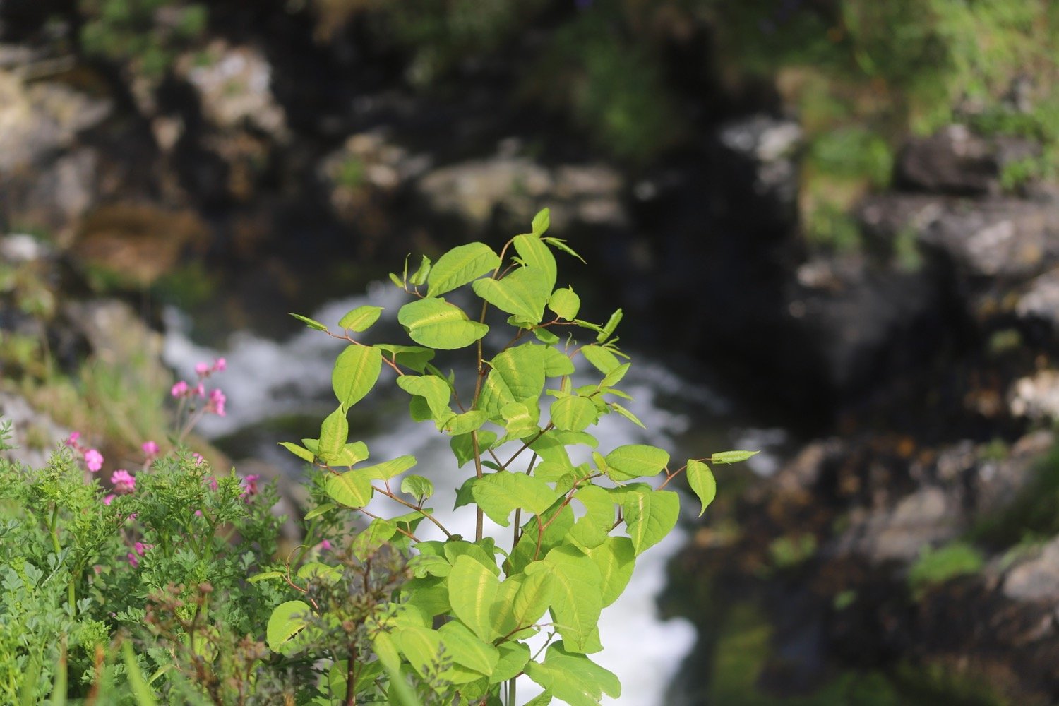
I pass a brick lined drainage and access tunnel as I follow the path through the woods. I have no idea whet the tunnel is accessing and have no interest in finding out!
drainage tunnel
At the end of the woodland track I exit the woodland and reach a kissing gate and a nettle ridden path which leads me on to Knapps Lane.
knapps lane
I walk slightly downhill and after a few yards turn left towards St Gregory’s Norman Church in Harpford Village and after a few yards turn right keeping the Church on my right. There’s no church service today.
st gregory’s
st gregory’s
no church service

I pass Court Place, a grand white house and turn right, then go through a gate on to the footpath towards the River Otter. There are sand martins flying all around me and I can see them entering their nests on the banks of the river.
river otter
I go over the bridge and straight on, away from the river, across a field.
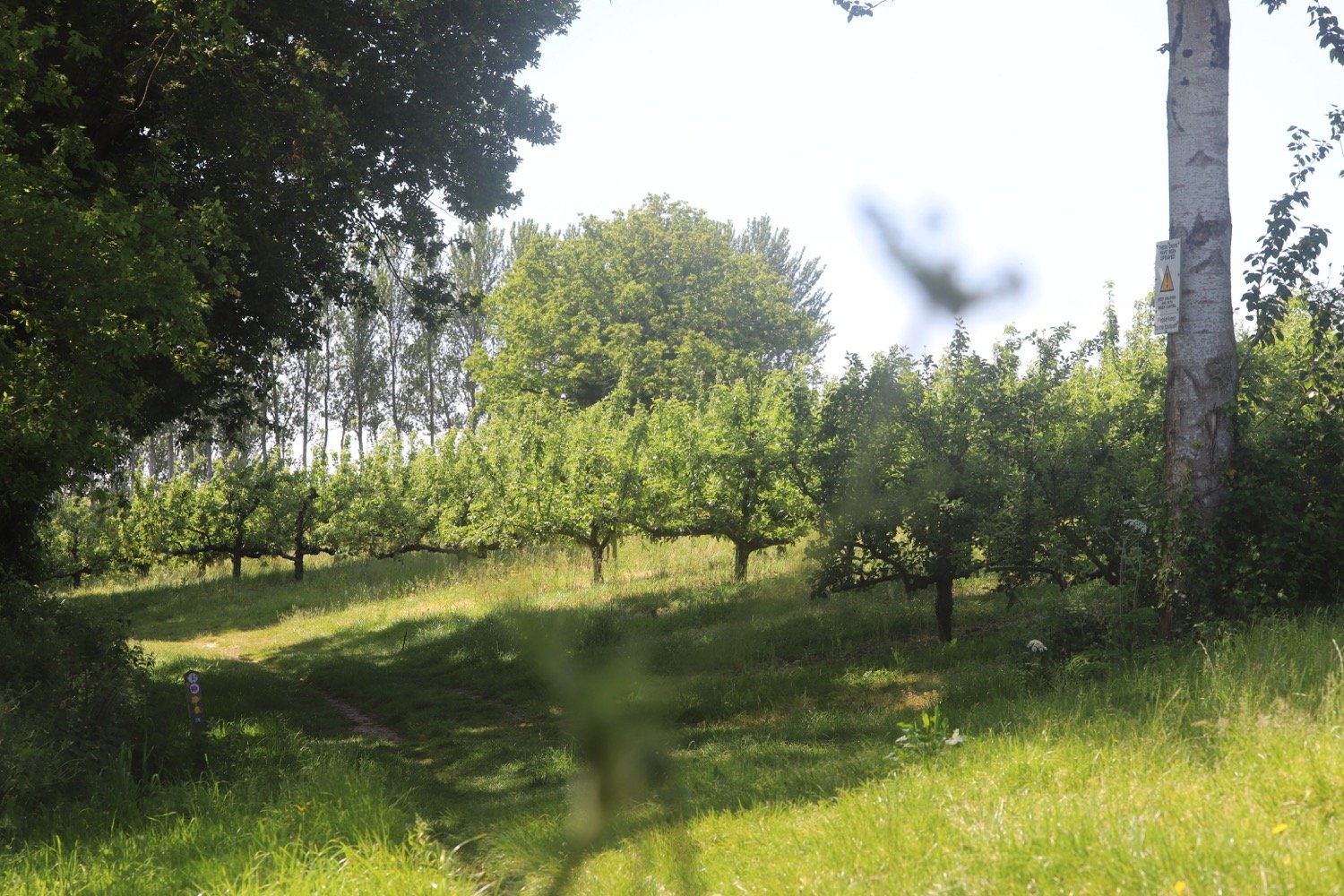
I pass through a gate at the trees and turn right and then, almost immediately, left up 24 steps and by orchards along a woodland track, up some steps and then take a left then immediately a right turn at a hedgerow.
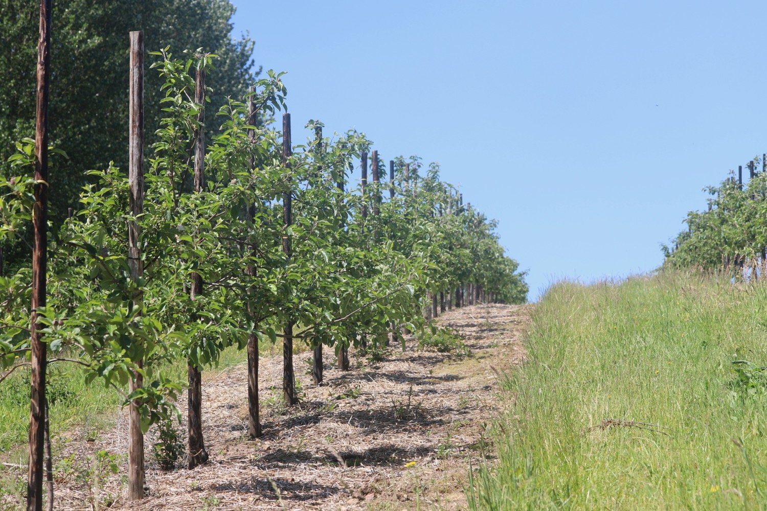
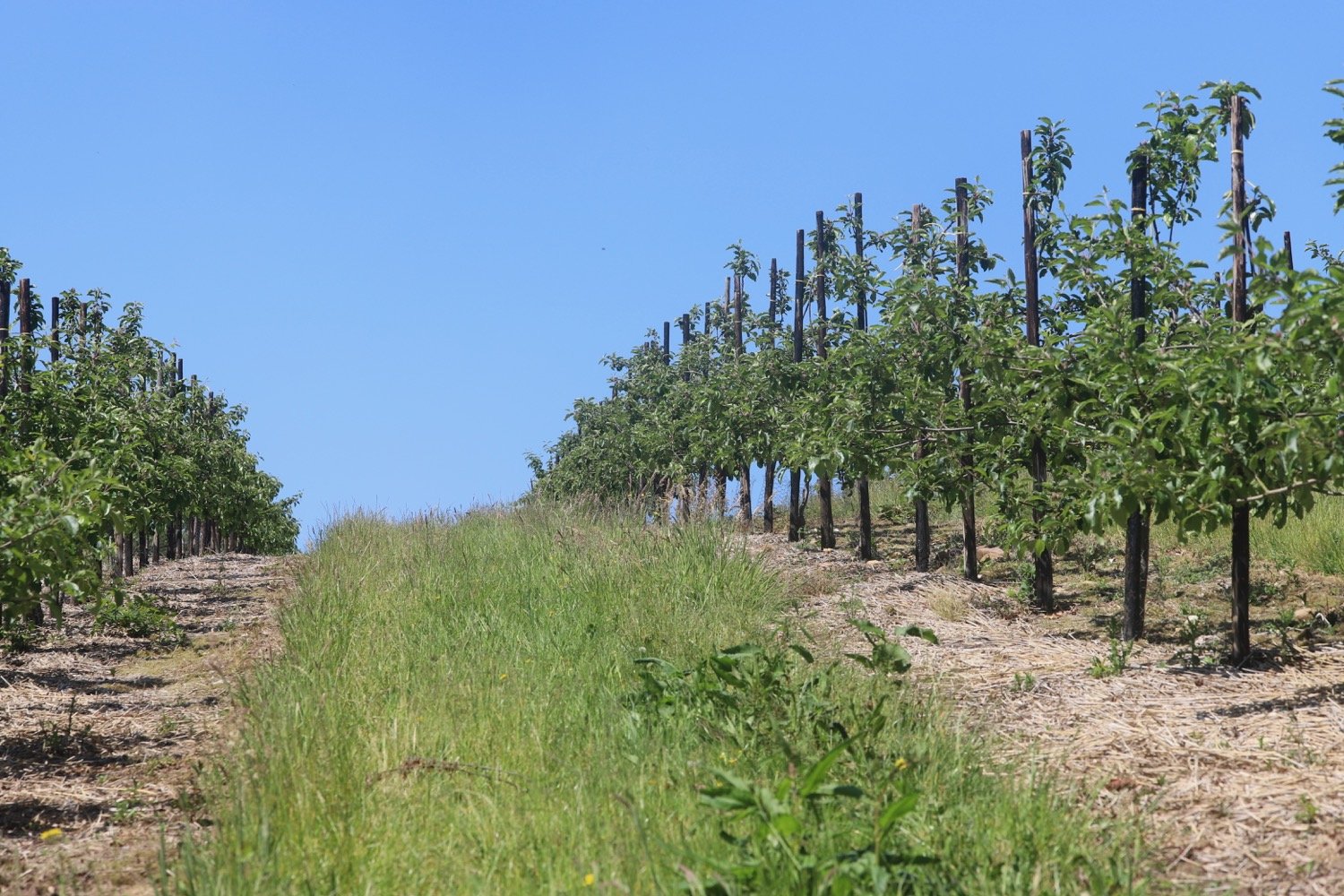
I walk through the orchards where I’m warned to keep children and pets under control as the trees have been sprayed.
I eventually walk downhill at a field edge to reach a lane at the bottom. I turn left then immediately right along the lane signposted to Southerton.
the road to southerton
At the end of this lane I turn left along the footpath opposite a house named Badgers Hill. I continue up steps and turn right over a stile where the path now has a wire fence on either side. When I reach a wider track, I turn right through woodland and go though a gate to enter Hunger Hill which has conservation grazing.
The landscape has changed dramatically as I am now going over heathland and wide open spaces.
hunger hill
As I approach a close-boarded fence I follow it left to reach a gate and exit the heathland. I go left on to a lane past a cottage called Benchams Cottage.
After 100 yards I turn left along a footpath through a gate on to the Pebblebed Heaths of Clinton Devon Estates, with conservation grazing. I follow the pebbled track with fields on my right leading down to a stream which I cross by a footbridge.
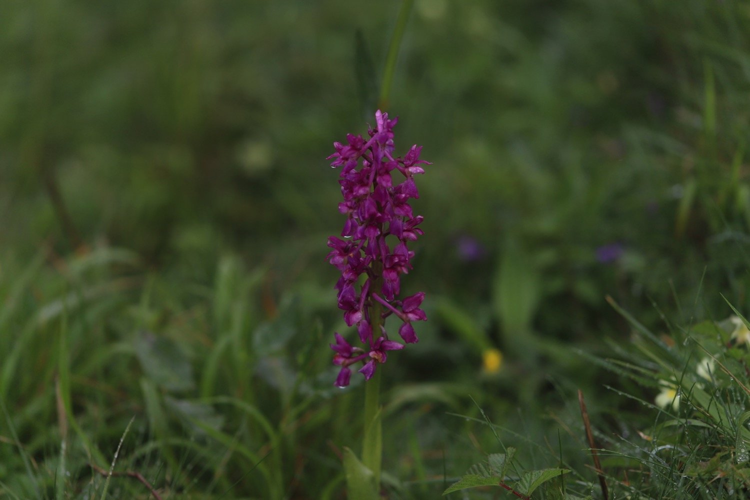
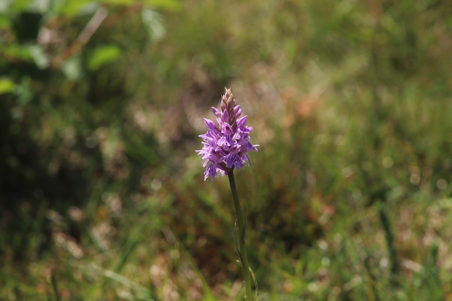
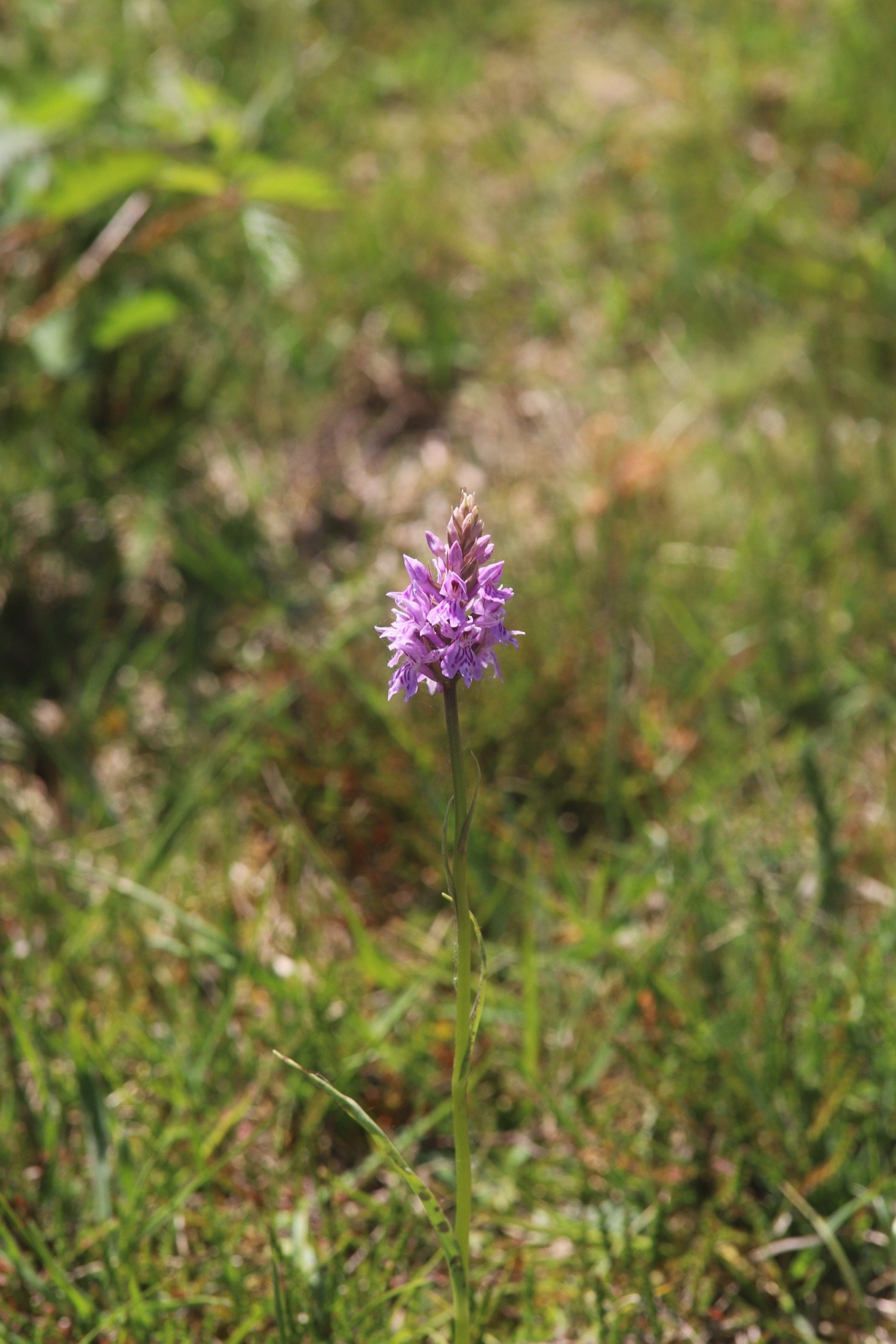
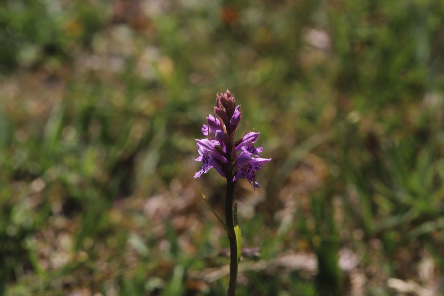
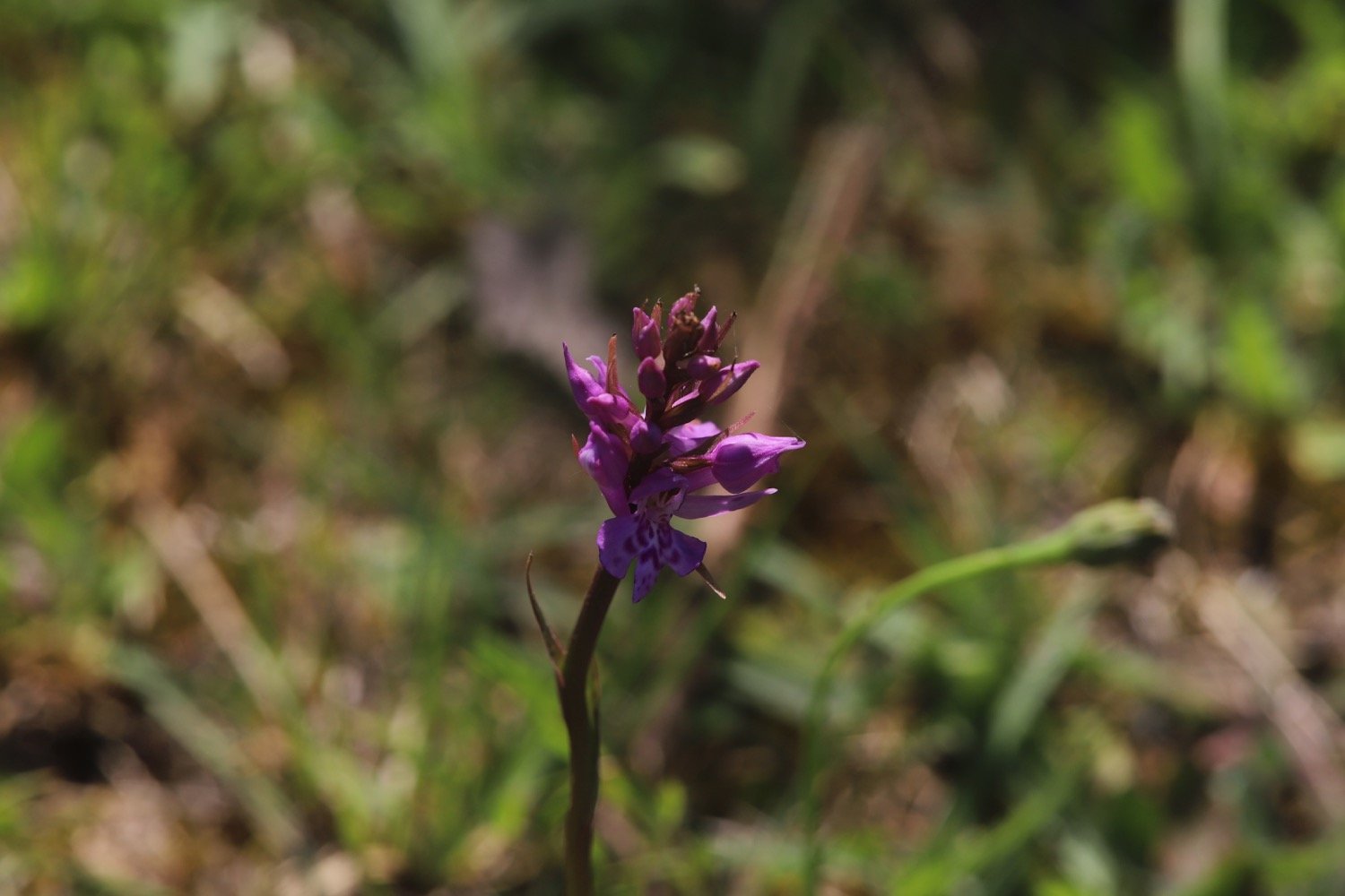
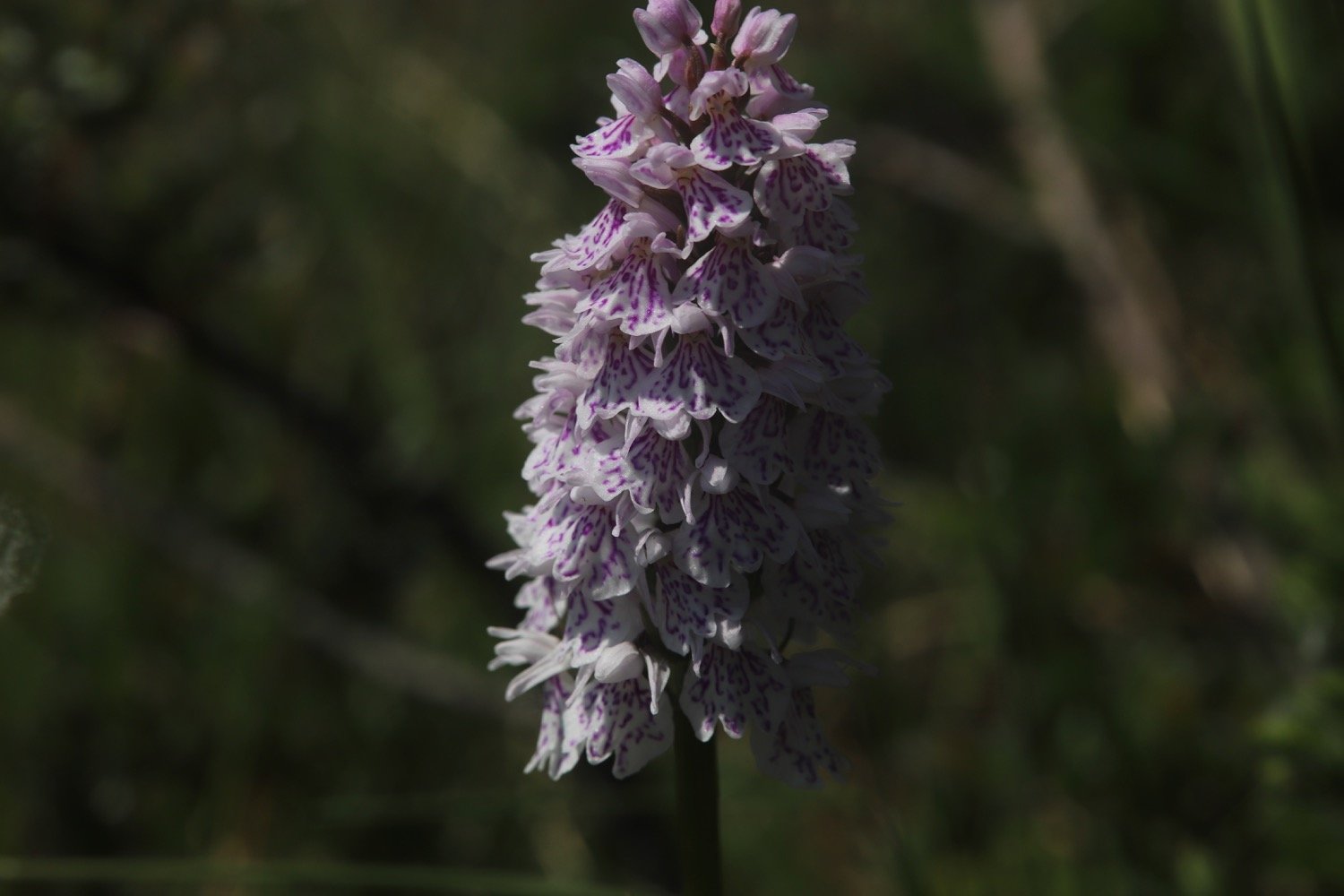
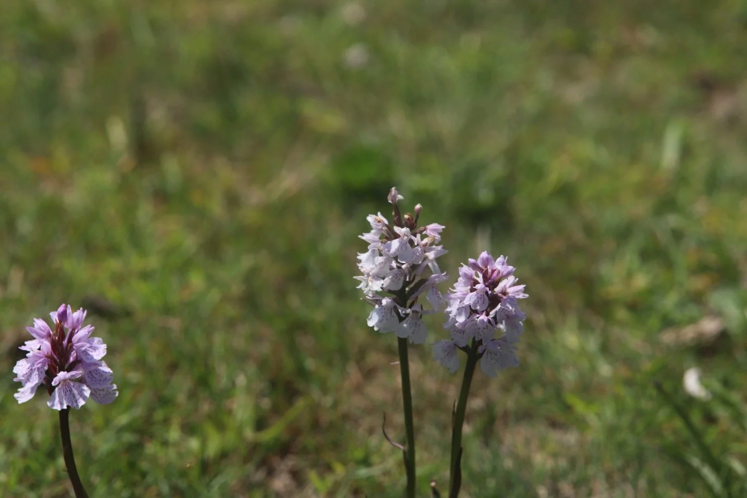
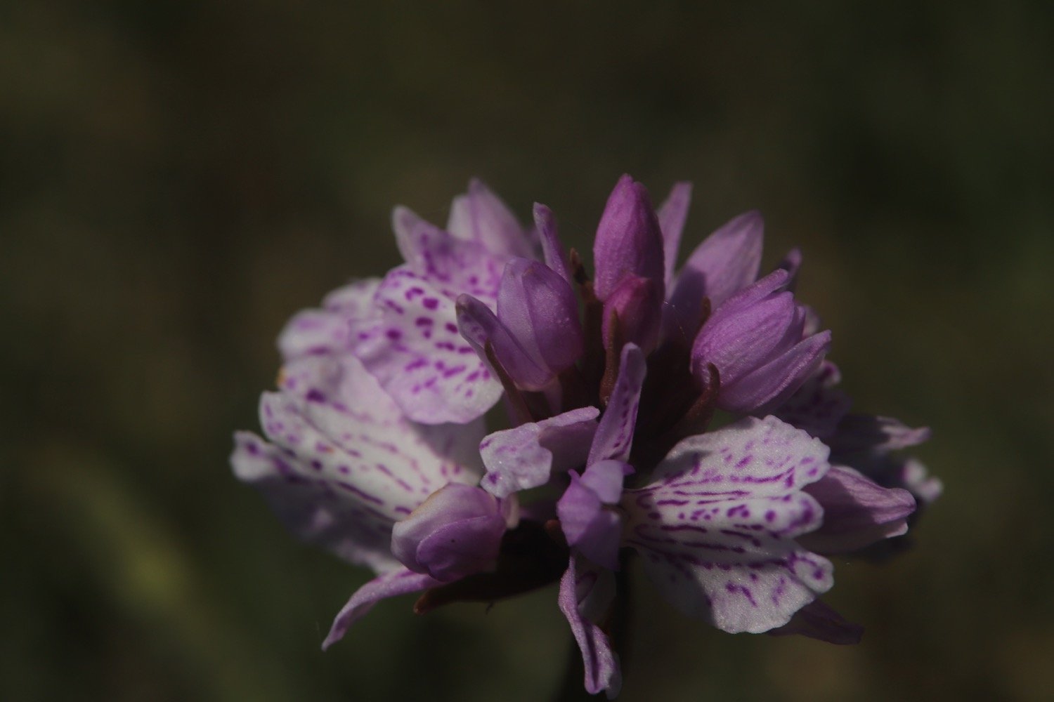
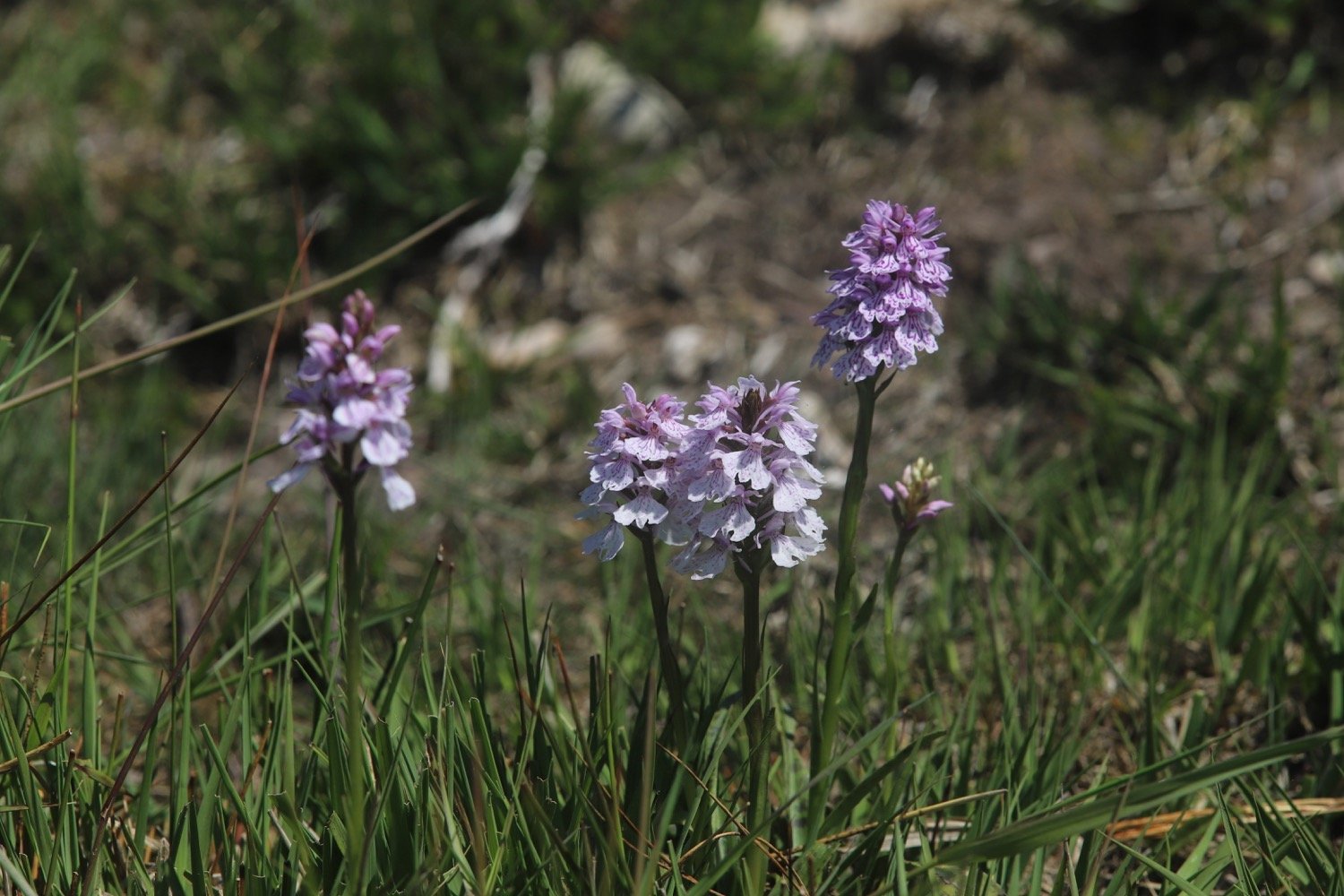
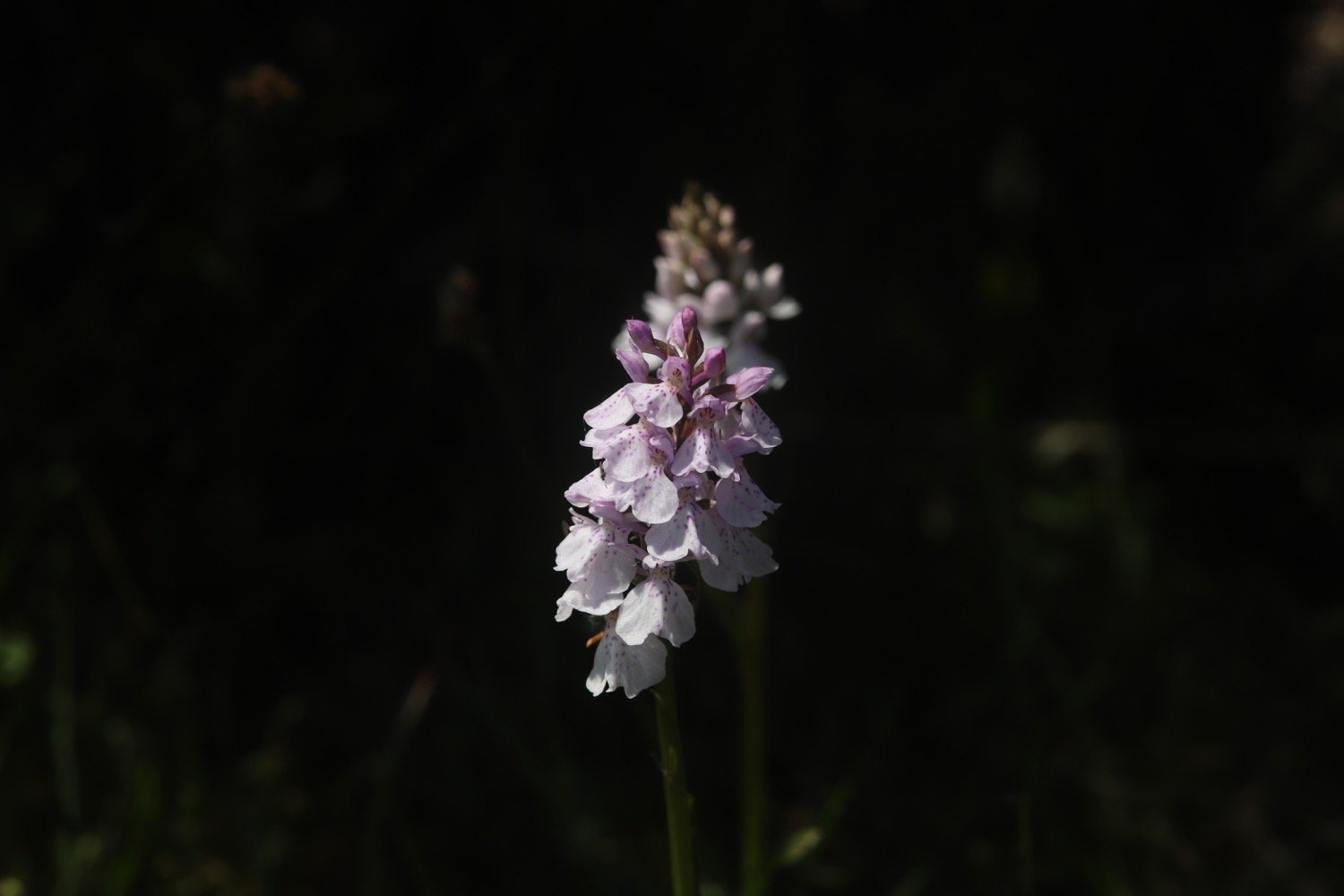
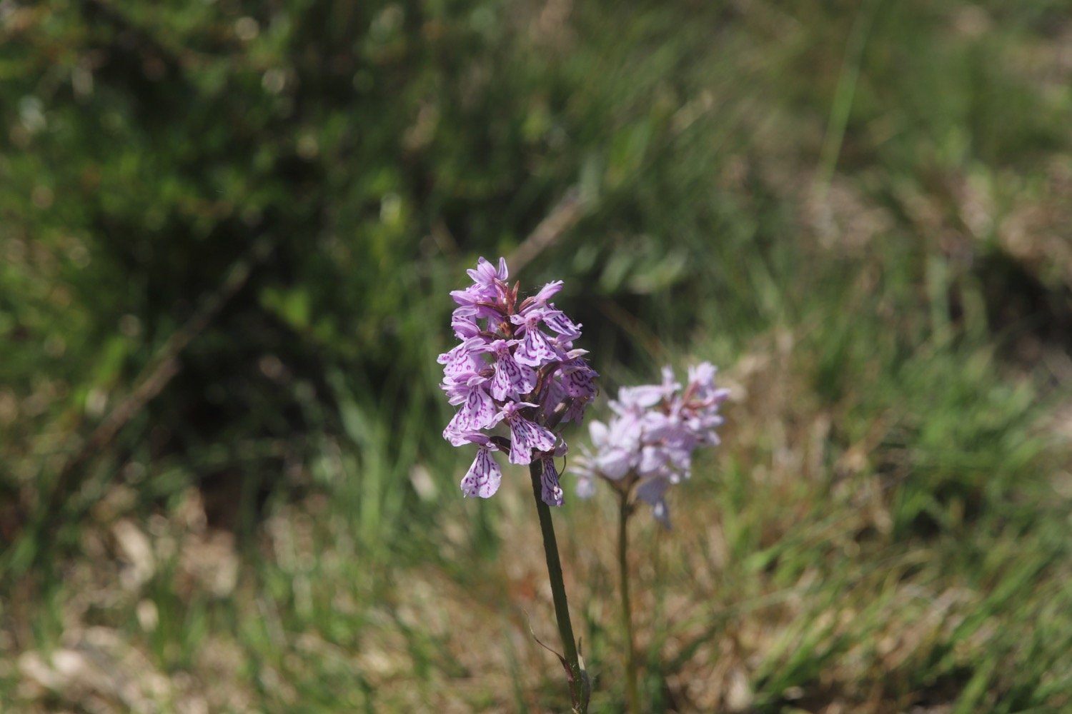
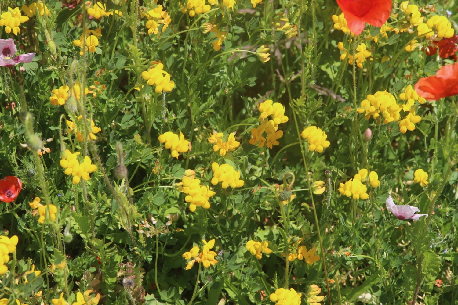
I then continue uphill on the pebble track, though a gate and cattle grid until the track becomes a surfaced roadway and I come across common spotted orchids.
I continue on this roadway through Aylesbeare Common RSPB Nature Reserve where, just before reaching the main A3052 road, there is an information board.
aylesbeare common
I’ve now reached the end of stage 4 of the East Devon Way if you are walking it from east to west.
east devon way
I cross this busy road with fast- moving traffic to reach the car park known as Joney’s Cross diagonally left opposite.
joney’s cross
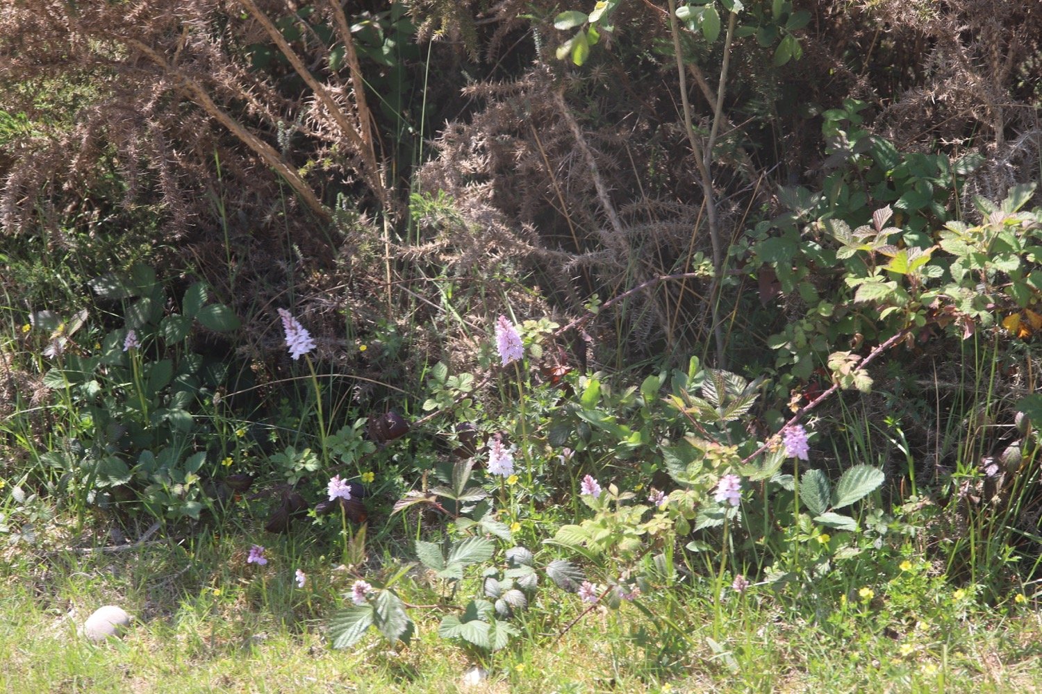
From the car park I head towards the far right corner and take the path leading to a lane. I cross over the lane and follow the ‘To Public Footpath’ sign and head west, down the track. After 120 yards I turn left down the track south, away from the main road. I follow this wide ‘coach and horses’ track to near Morish Cotley, with farmland in the distance in front of me. There are common spotted orchids on either side of the track.
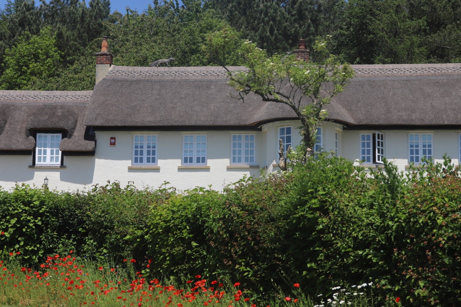
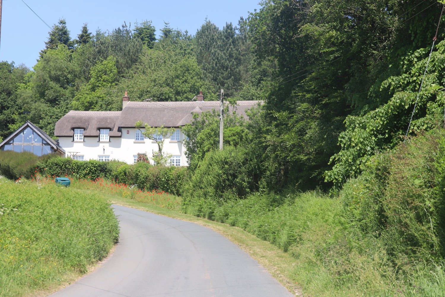
The path emerges from the woodland on to a lane. I turn right, with a large white thatched house on my left surrounded by flowers, heading downhill.

A woman at the house shouts out to me ‘good morning’ and then changes her mind and shouts ‘or maybe good afternoon’. I’ve no idea which one it is either. It turns out that it is a quarter to one in the afternoon.
At the bottom, at a small red brick barn, I turn left for about 100 yards, past a converted chapel.
red brick barn
converted chapel
I reach Hawkerland cross roads. At the bridge over the stream, I turn right up a public bridleway, then take the right fork along a pebbly track wide enough for a vehicle, with high banks on either side.
hawkerland cross roads
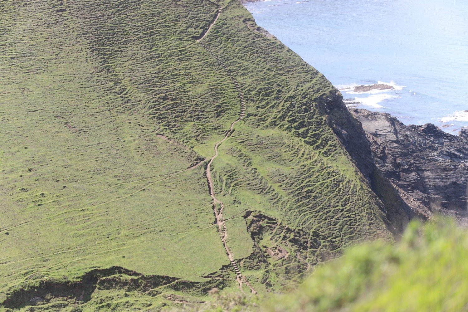
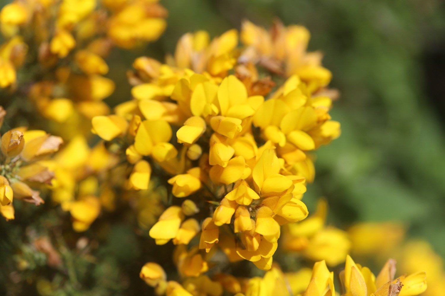
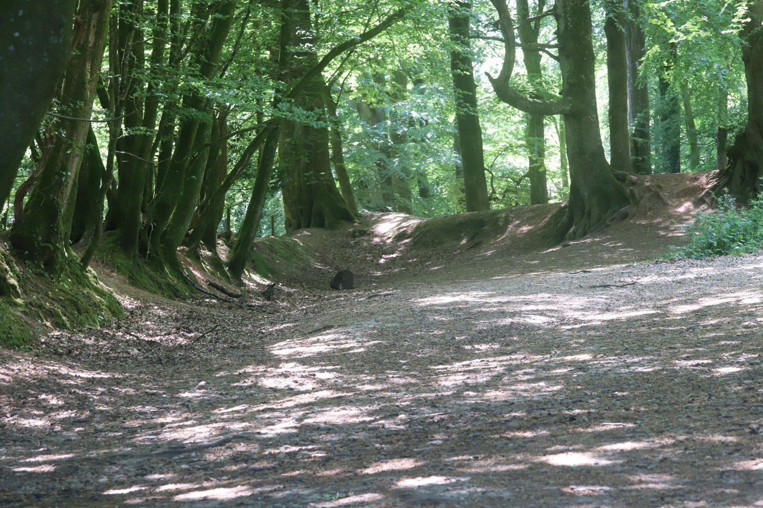
At the next fork I take the left track uphill to enjoy the wide-open space of the common. I follow the wide track for nearly 2 miles with gorse bushes (not in flower for a change) on either side.
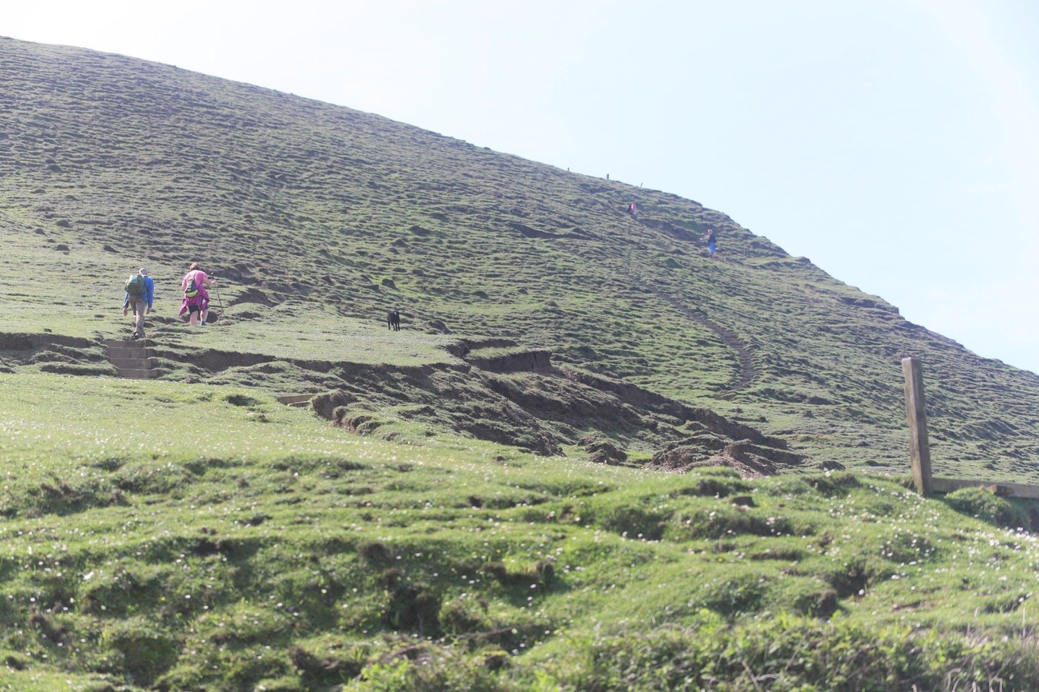
There are numerous forks and junctions, but I keep straight ahead, looking out for frequent waymark posts to guide me. Ahead in the distance I eventually see the main road and a wooded hill which is Woodbury Castle. On my left are open vistas of the heathland.
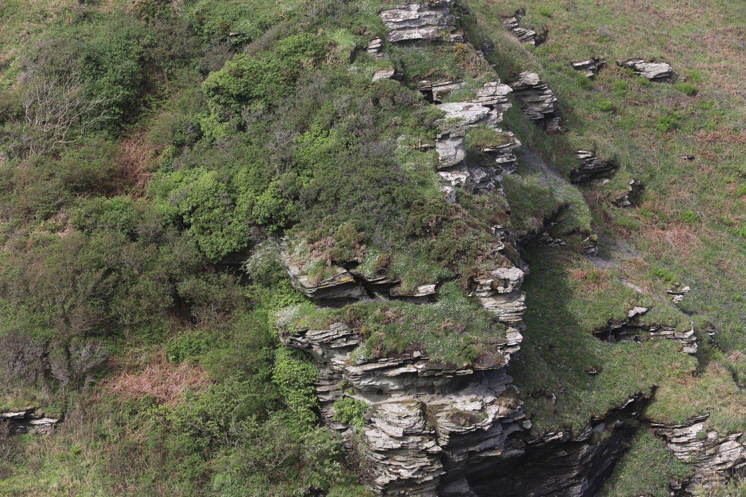
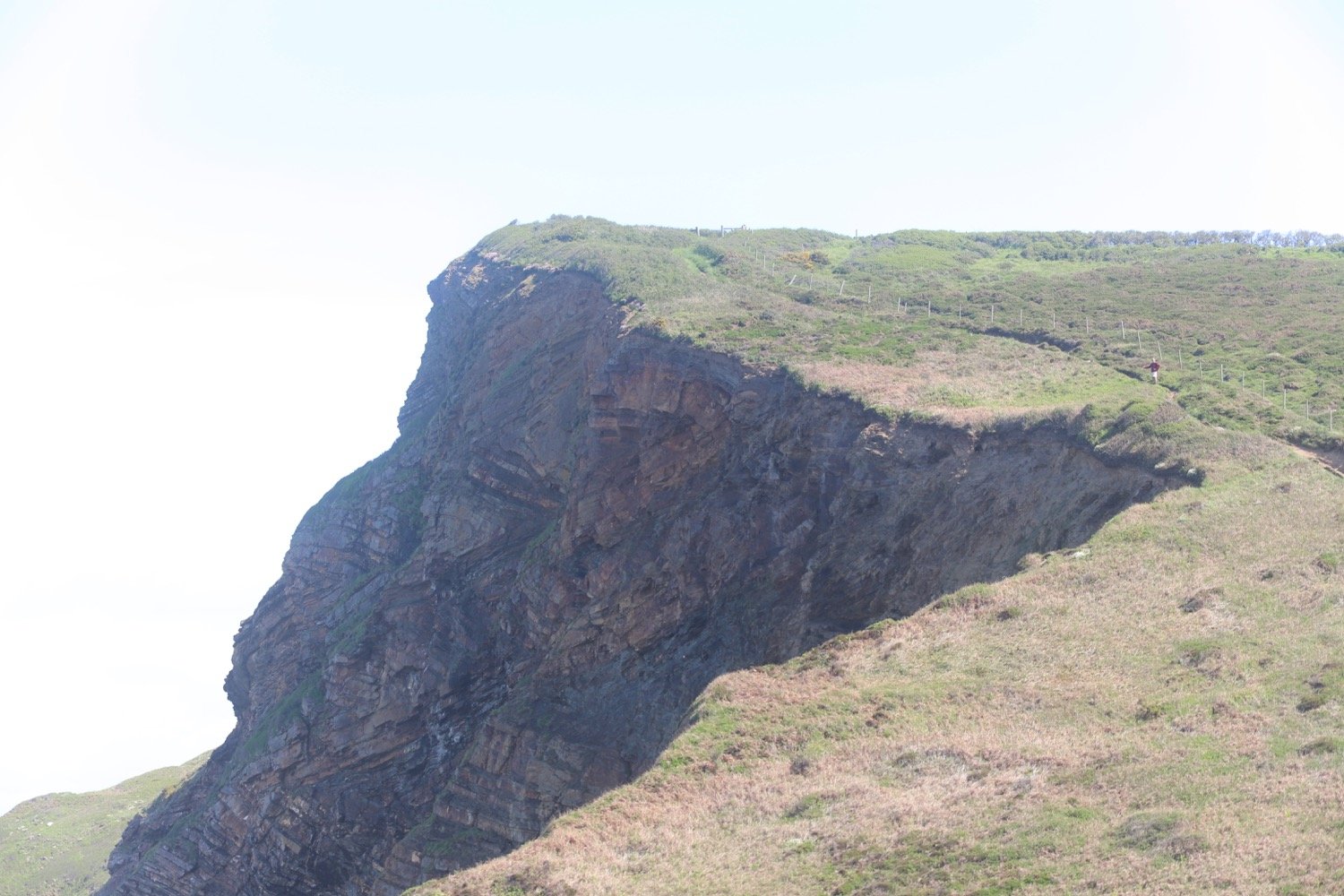
I keep on the track when it eventually veers left, keeping Woodbury Castle ahead of me. As I near the castle, I walk alongside it on my right and look out for a waymarker to turn right into the woodlands. Here I can clearly see the ramparts of the castle, a prehistoric hilltop fort dating back to 500-300BC.
I go immediately left then right into the castle and follow the waymarks which lead me in a horseshoe-shaped curve around the ramparts until a final left turn brings me to the car park.
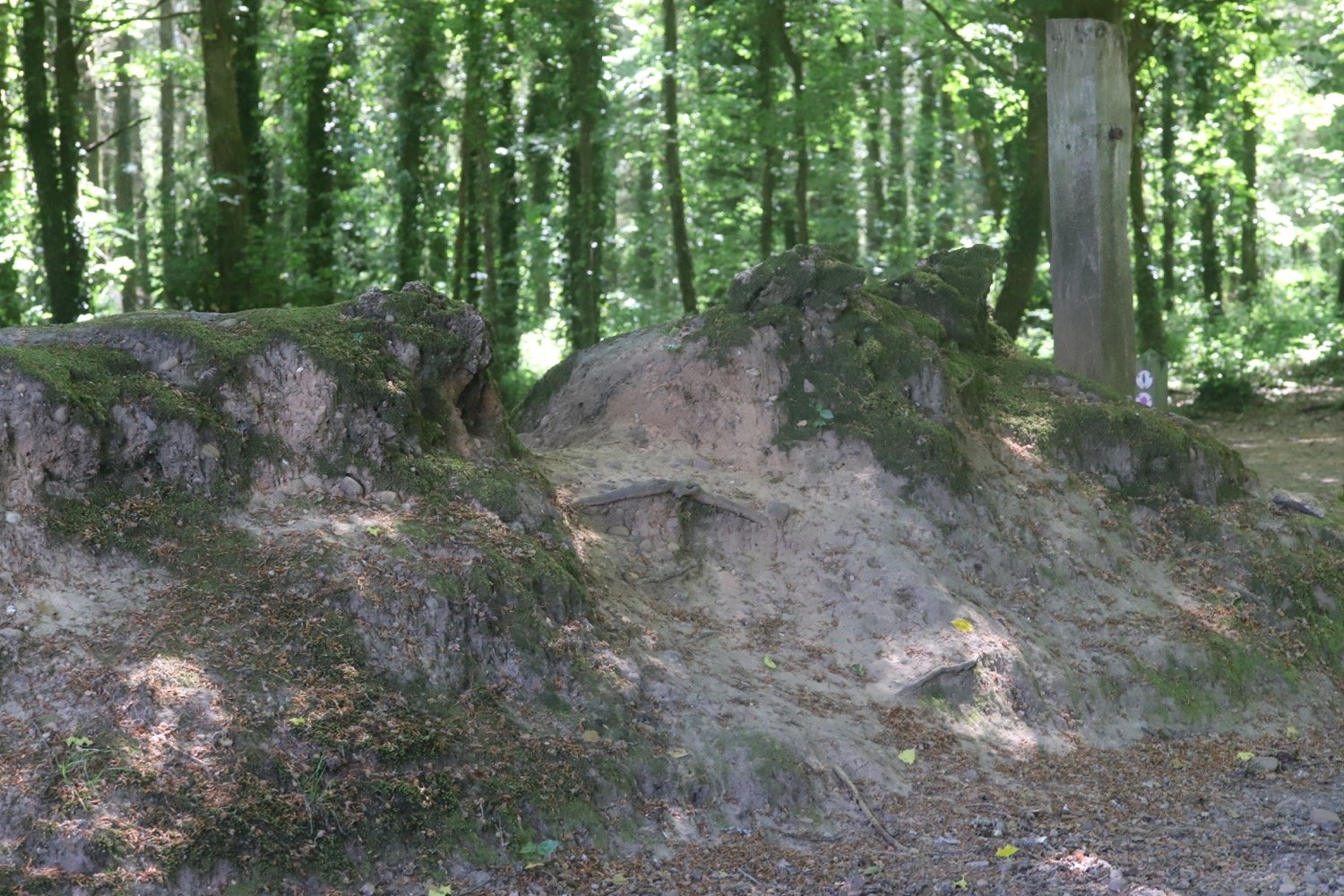
woodbury castle panorama
I pass an information board and then enter the car park where my lift awaits.
information board
woodbury castle scheduled monument
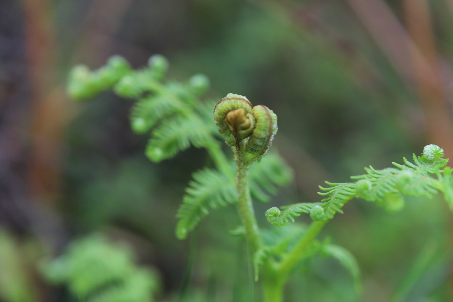
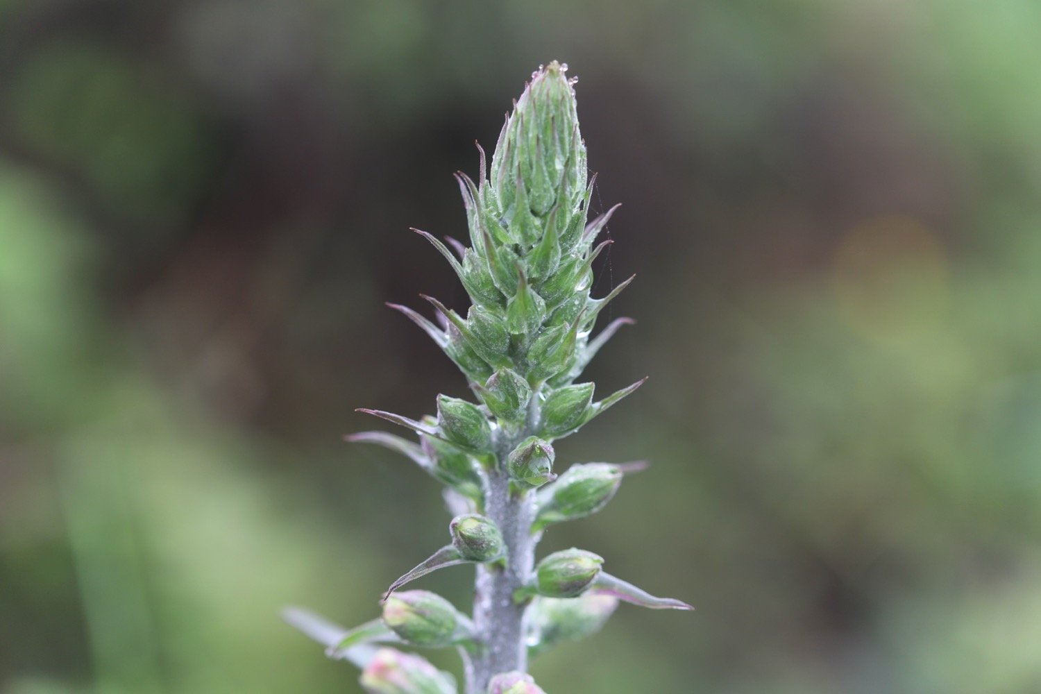
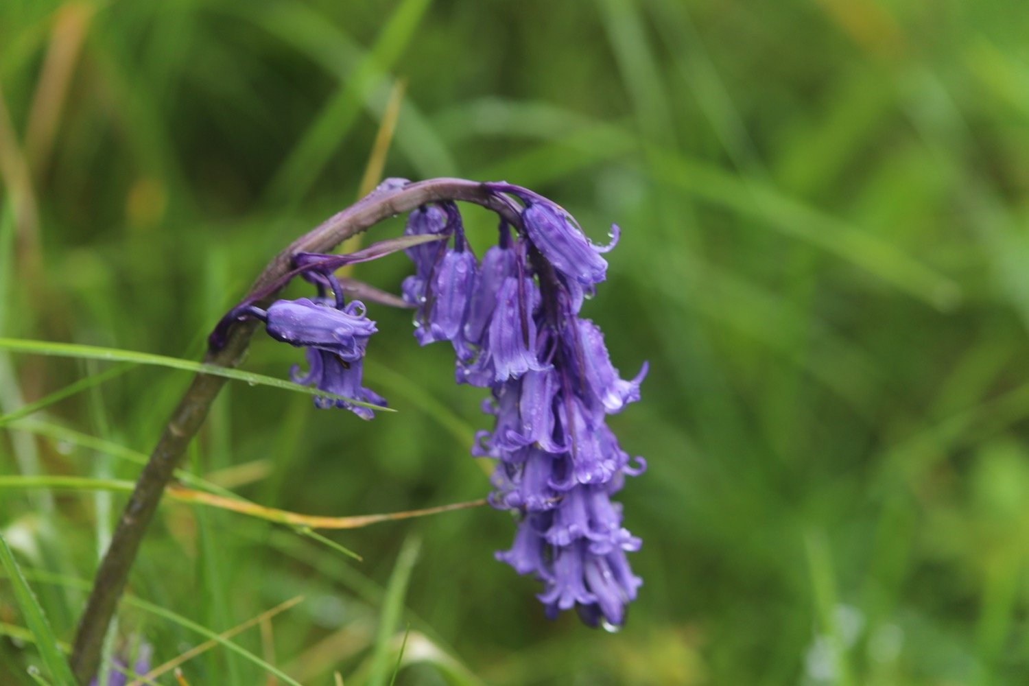
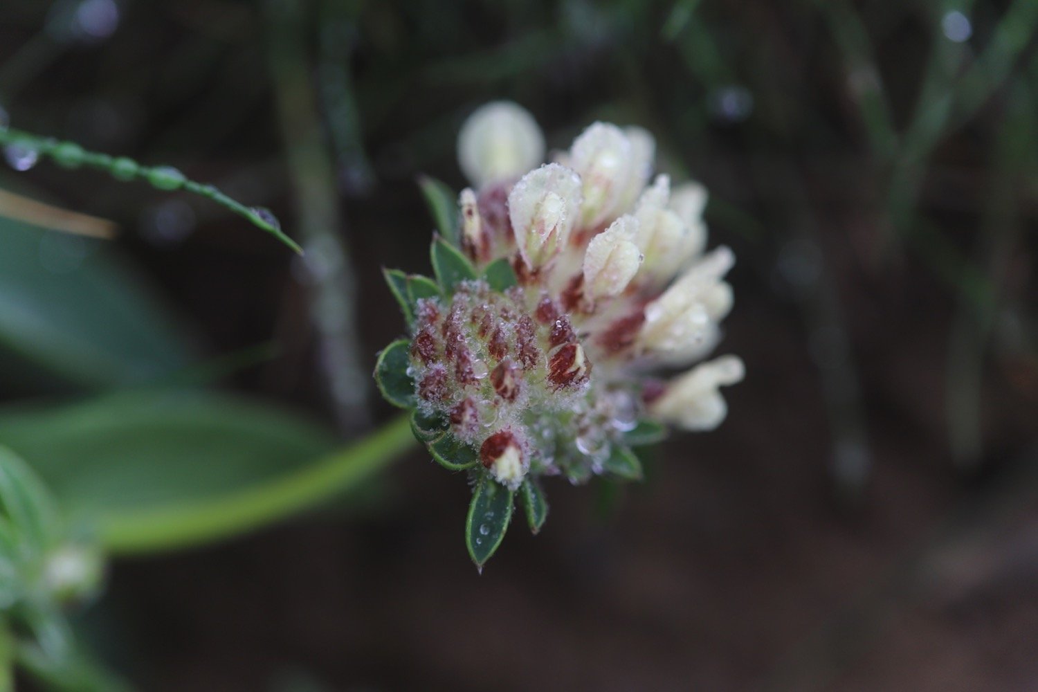
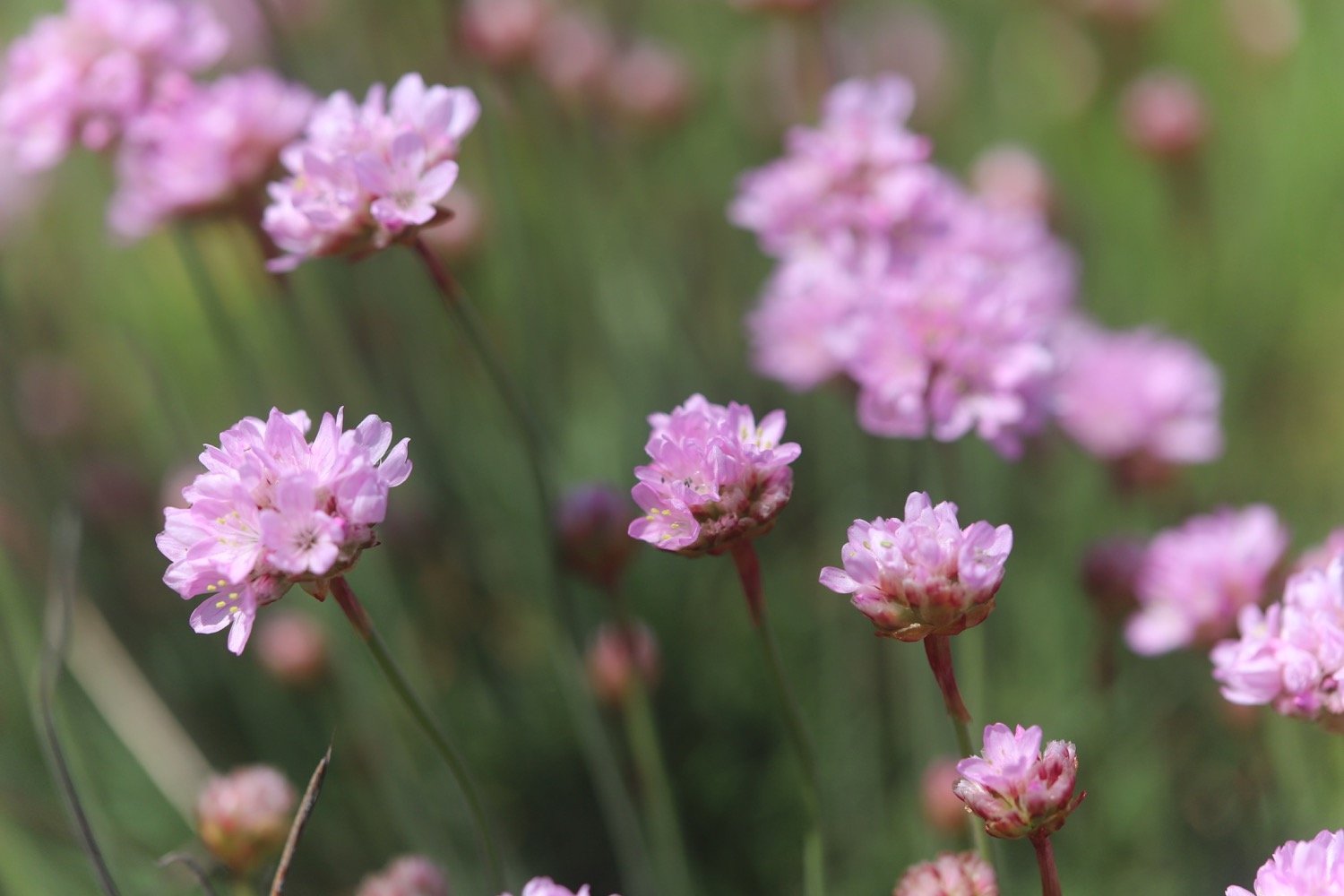
FLORA AND FAUNA
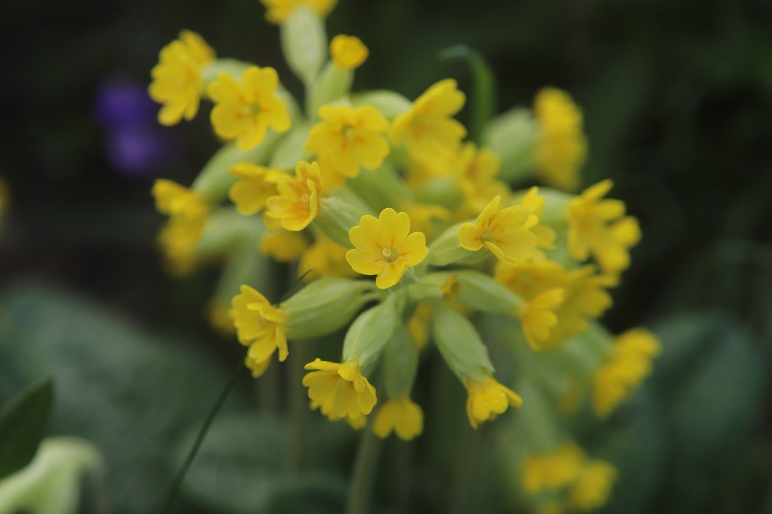
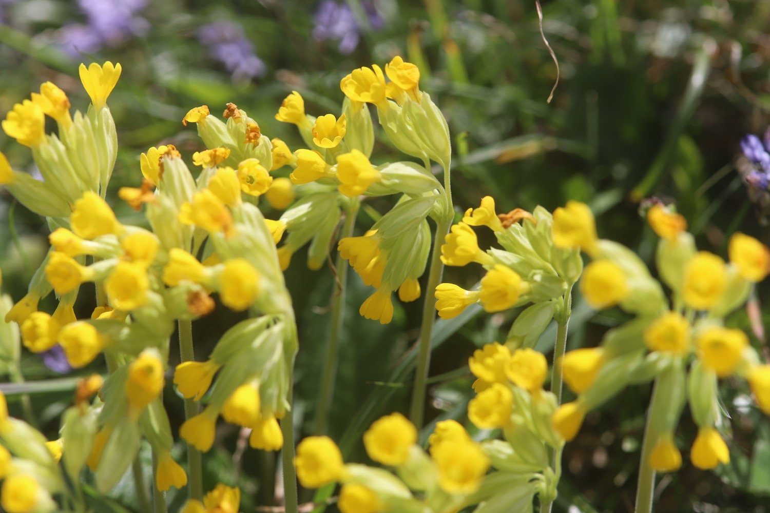
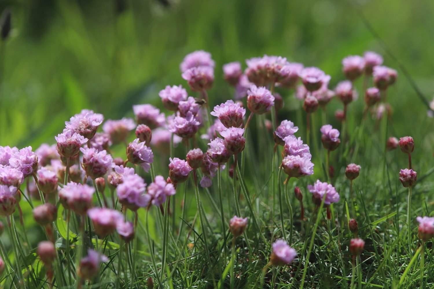
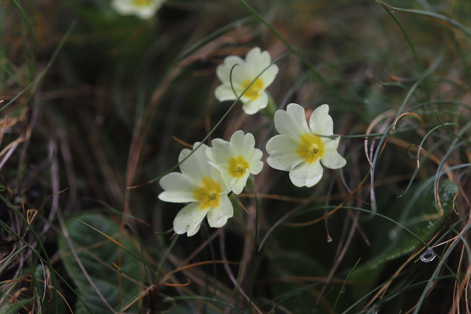
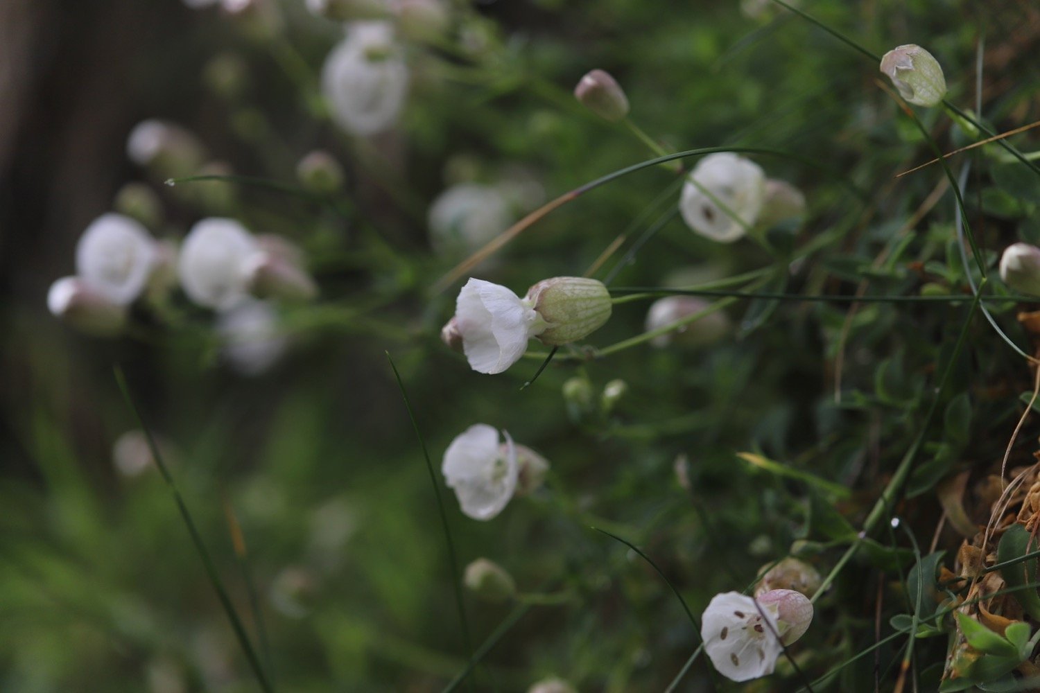
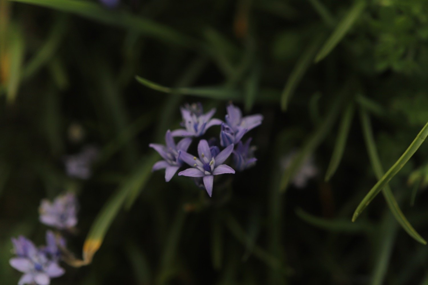
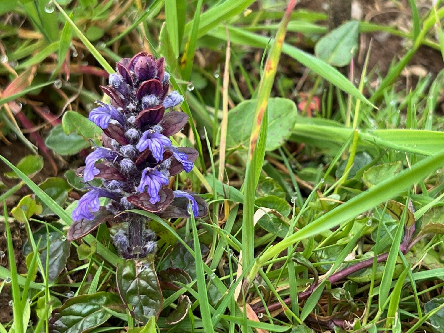
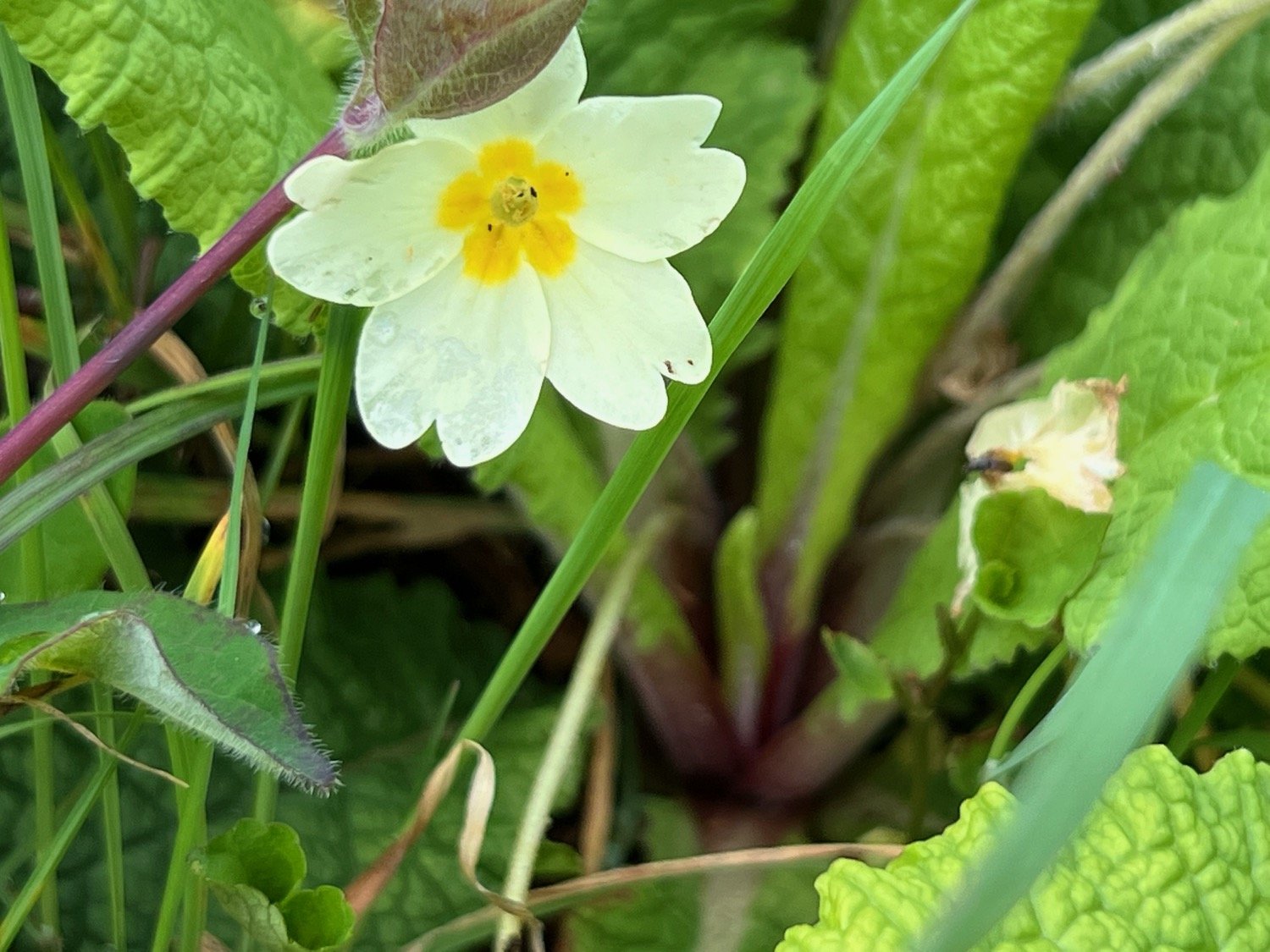
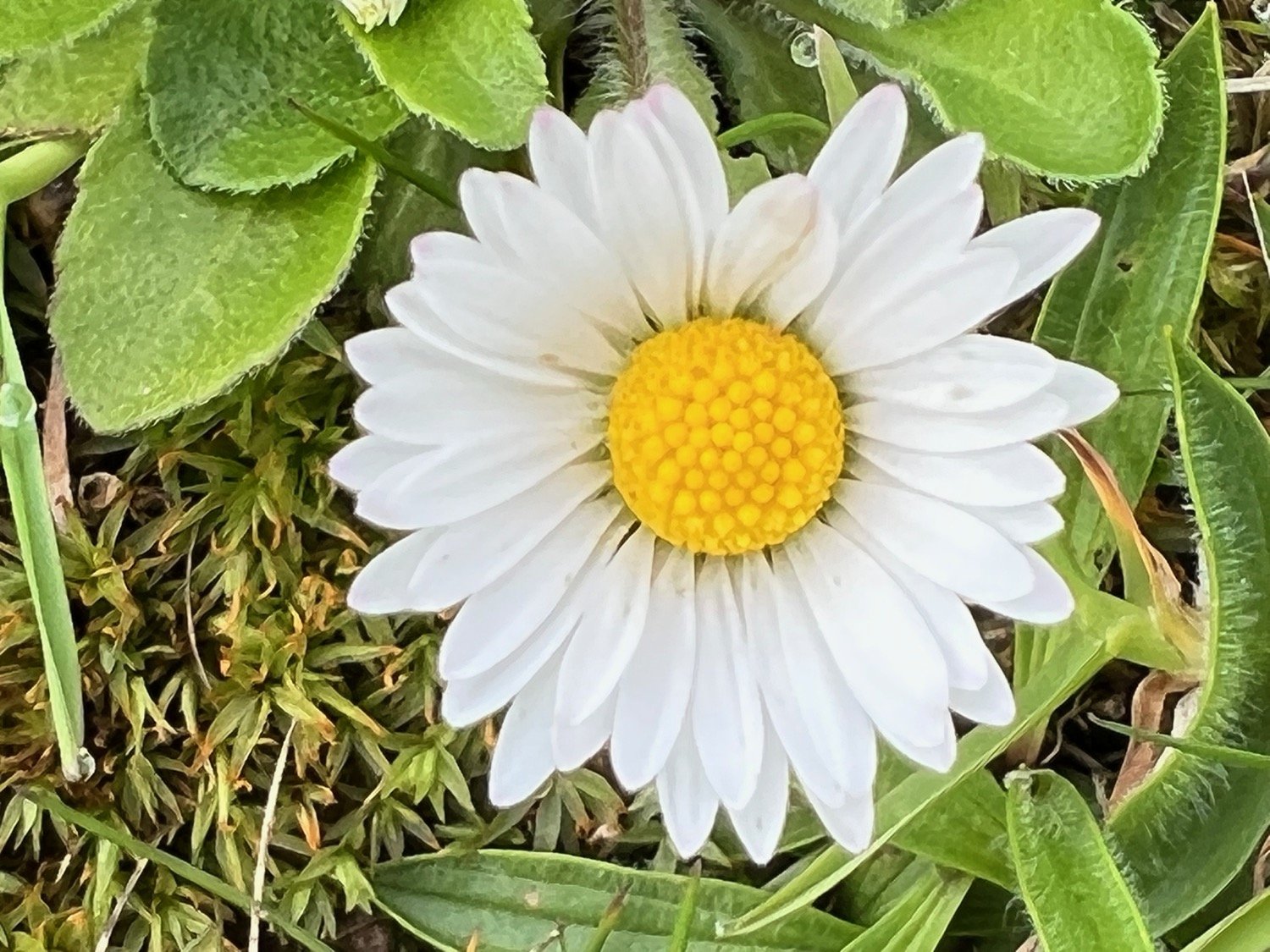
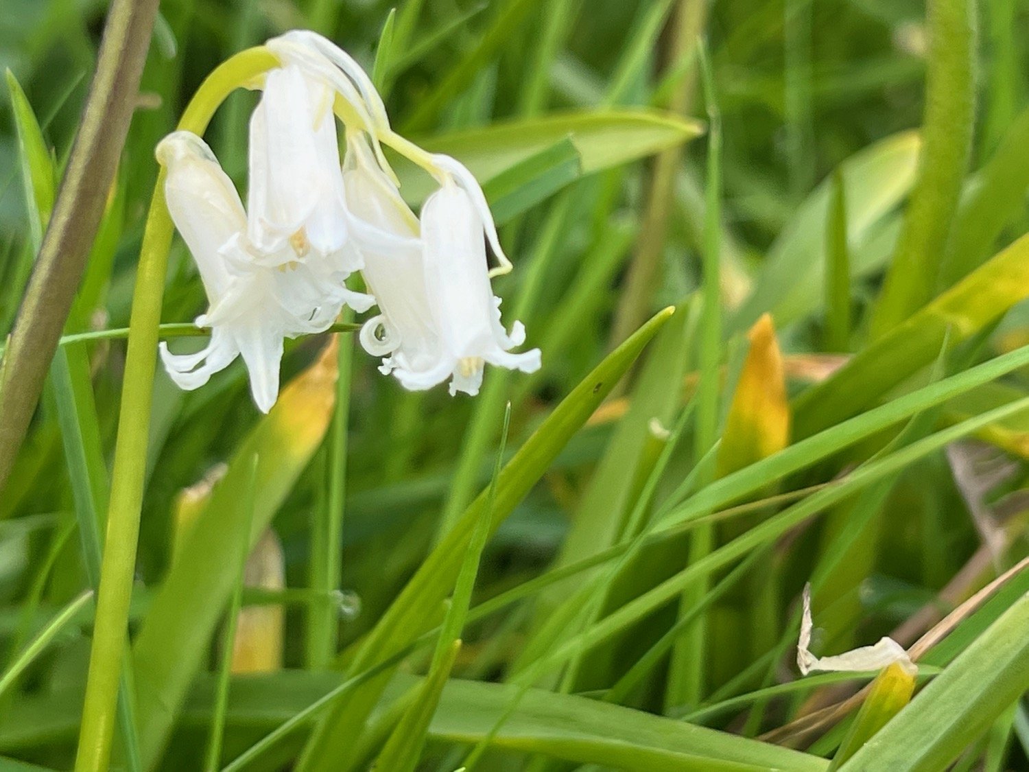
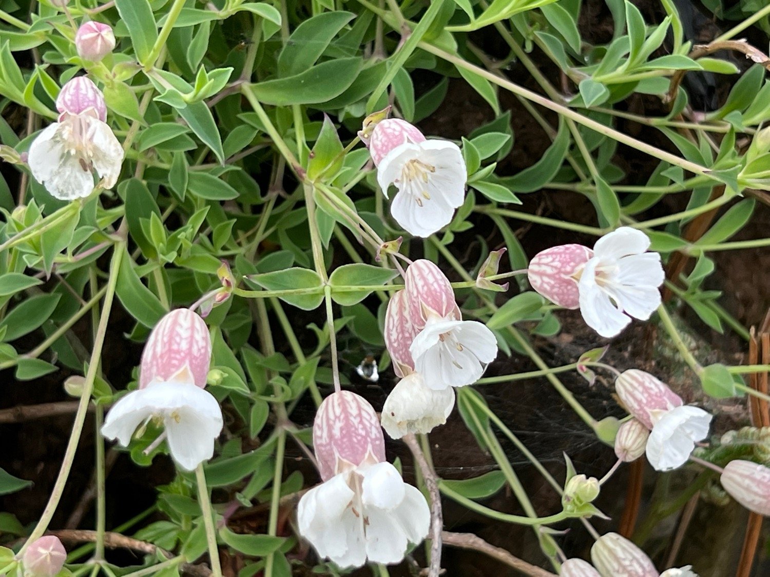
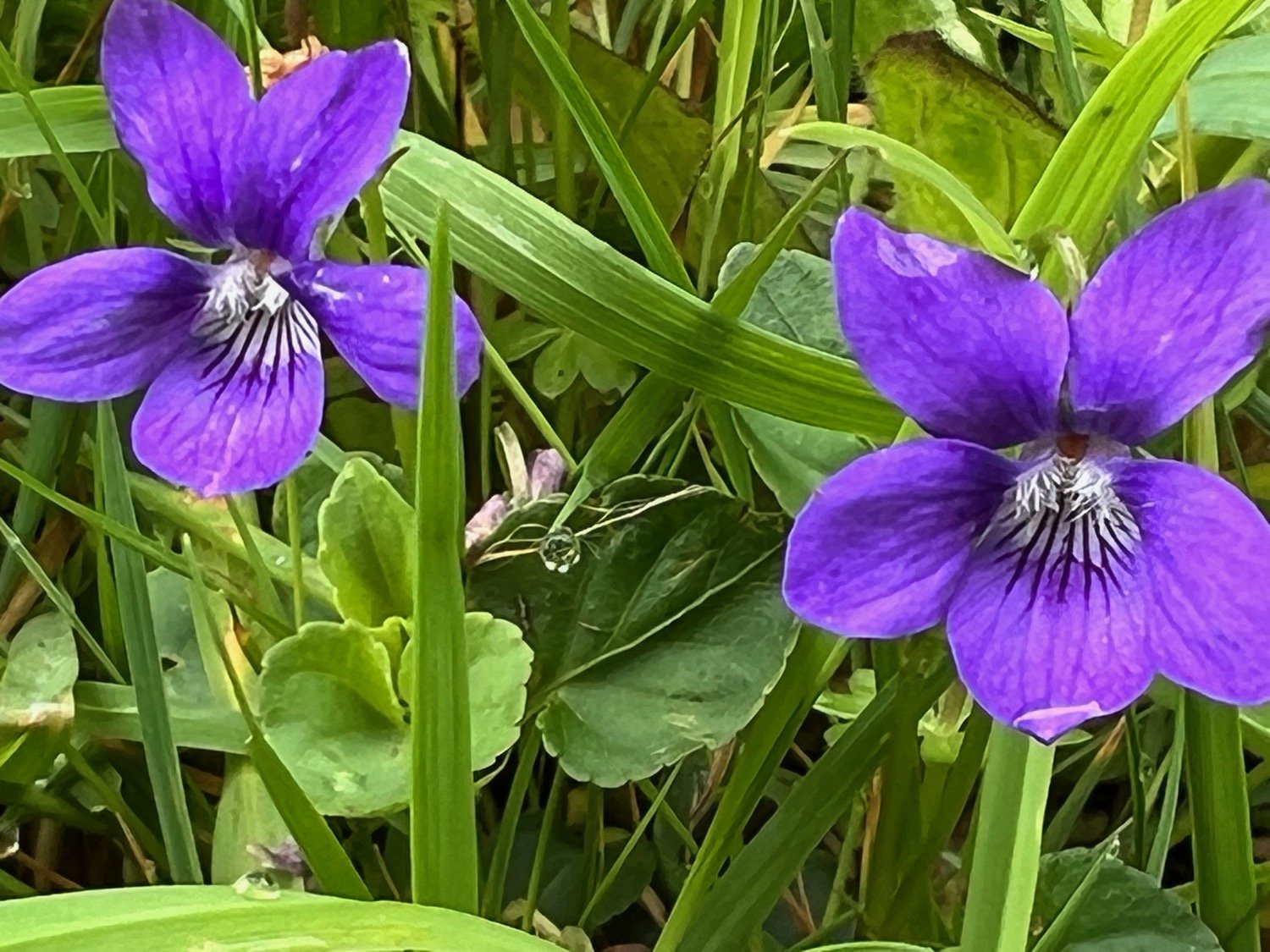
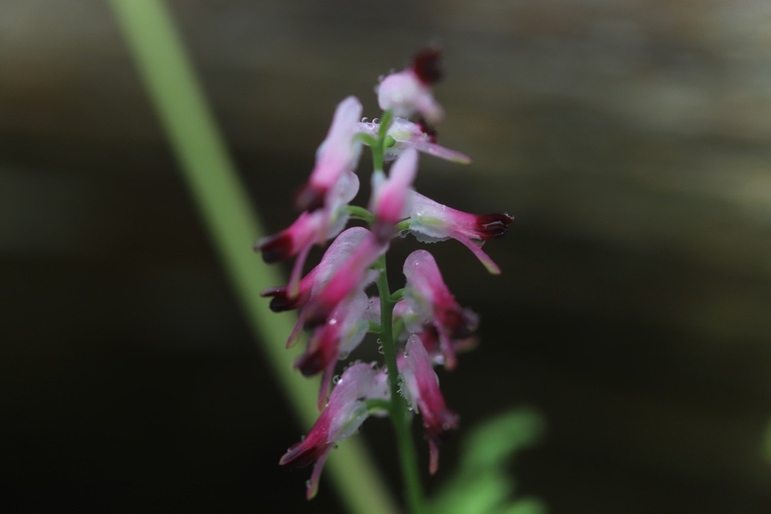
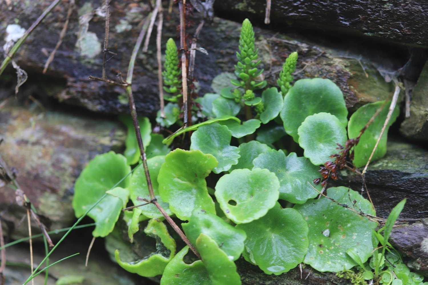
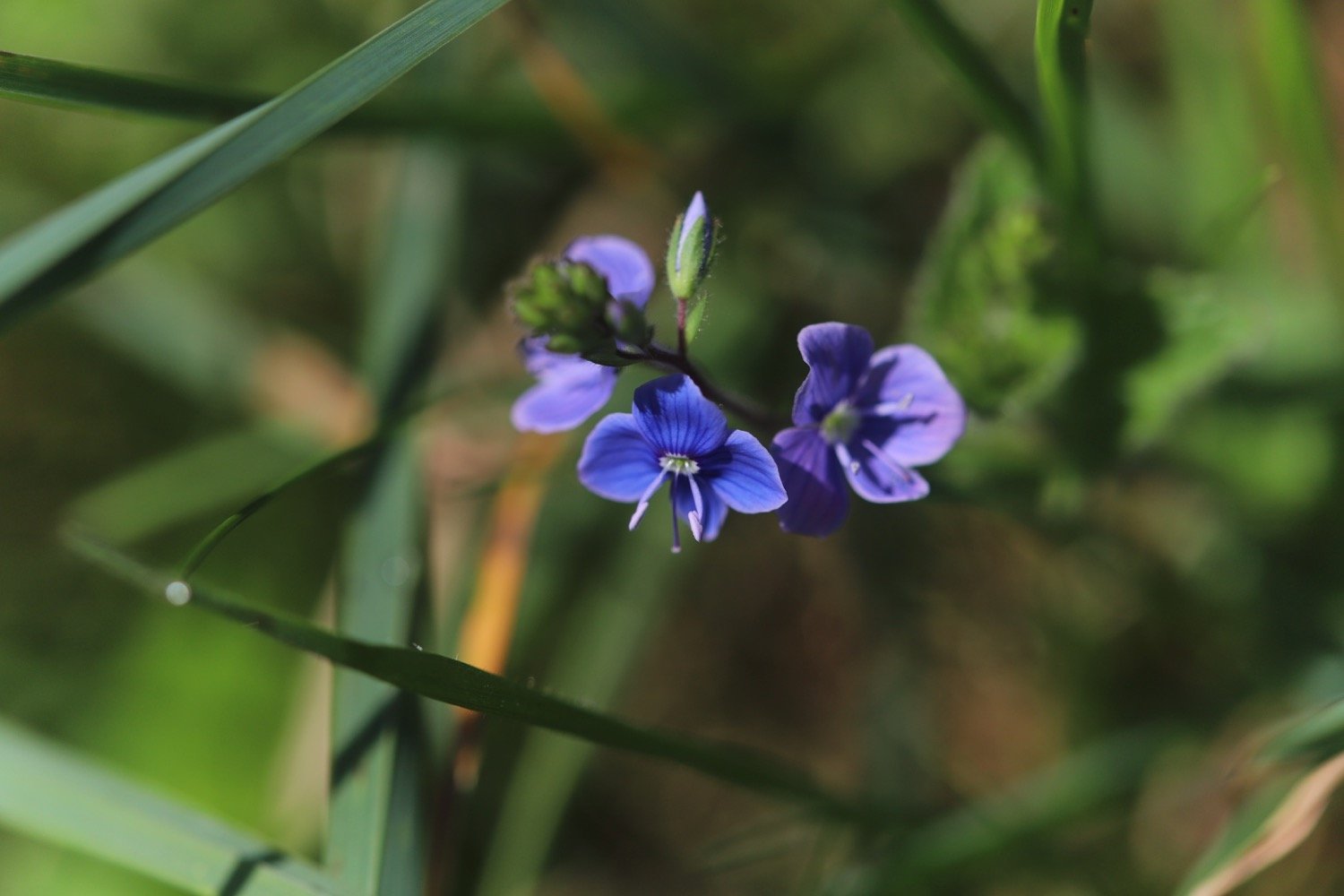
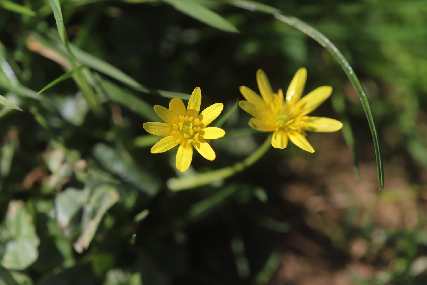
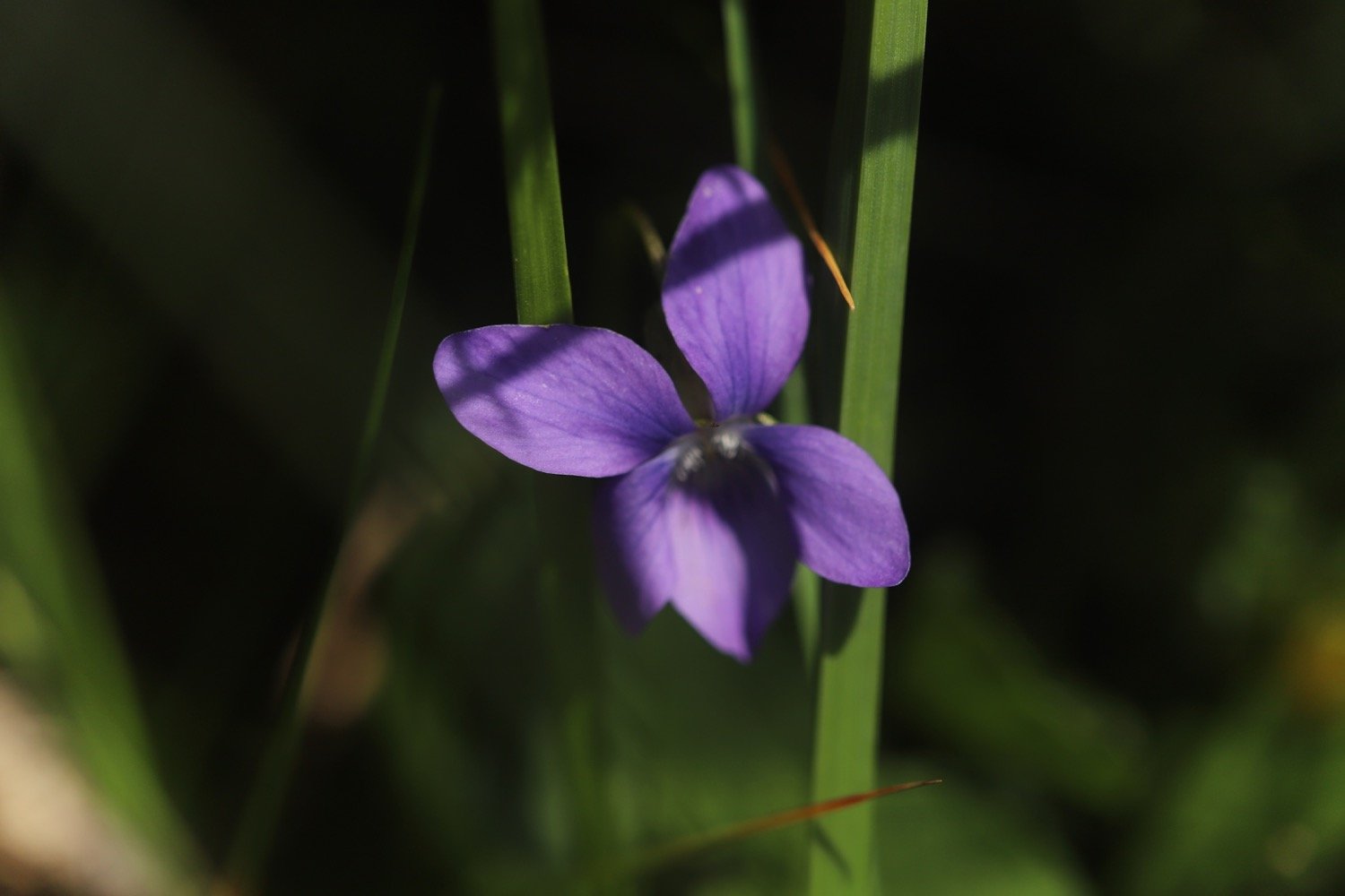
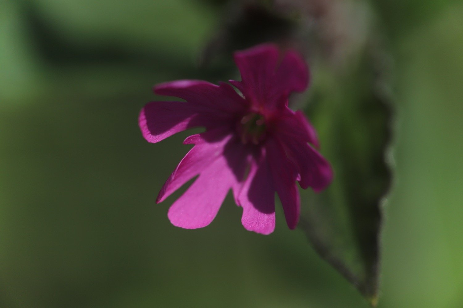
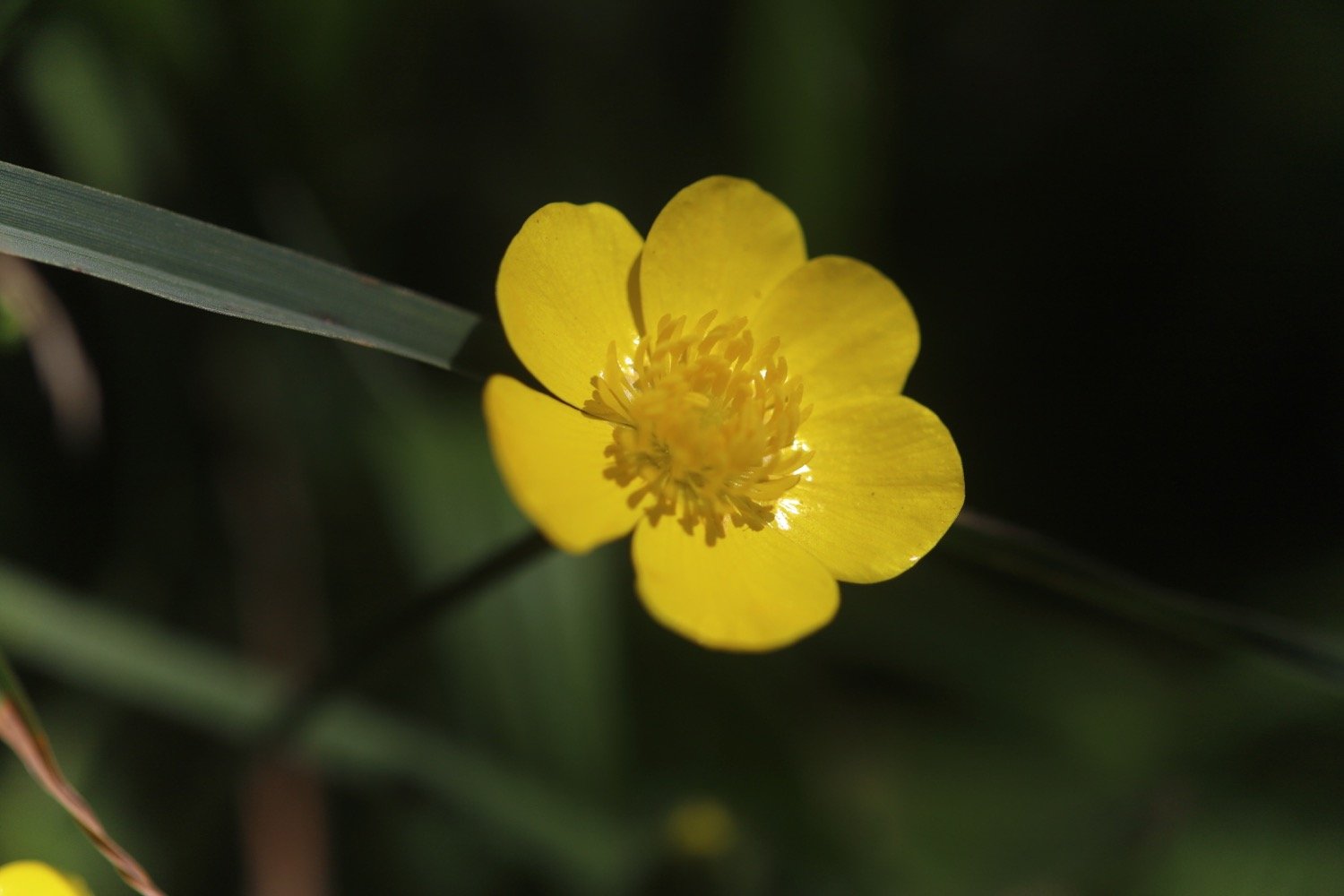
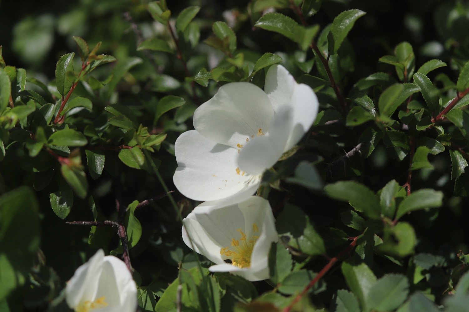
Flora and fauna encountered on the walk today includes :-
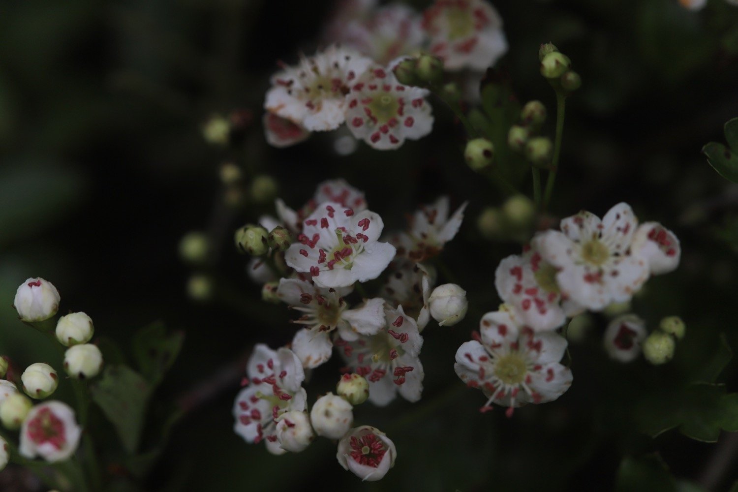
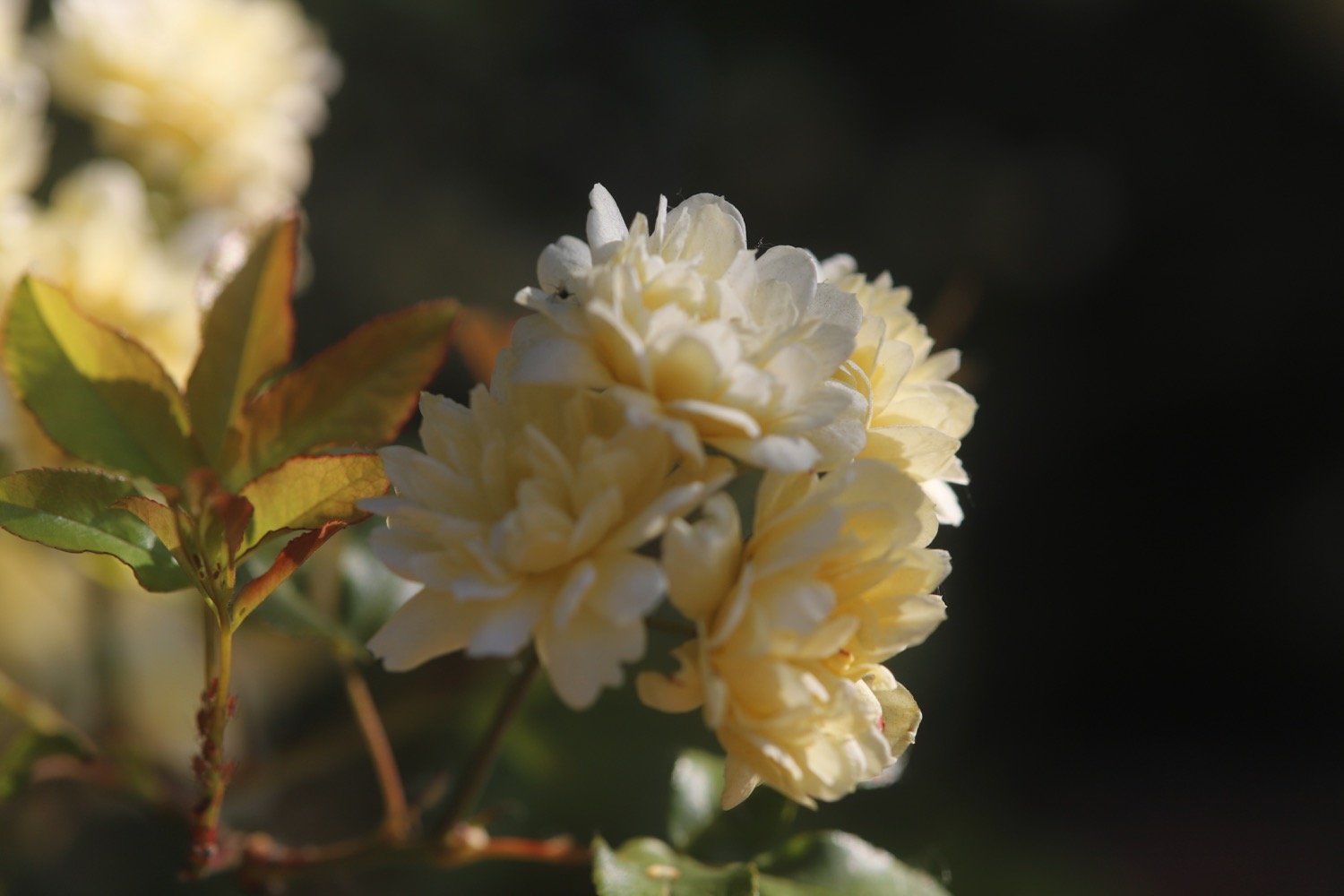
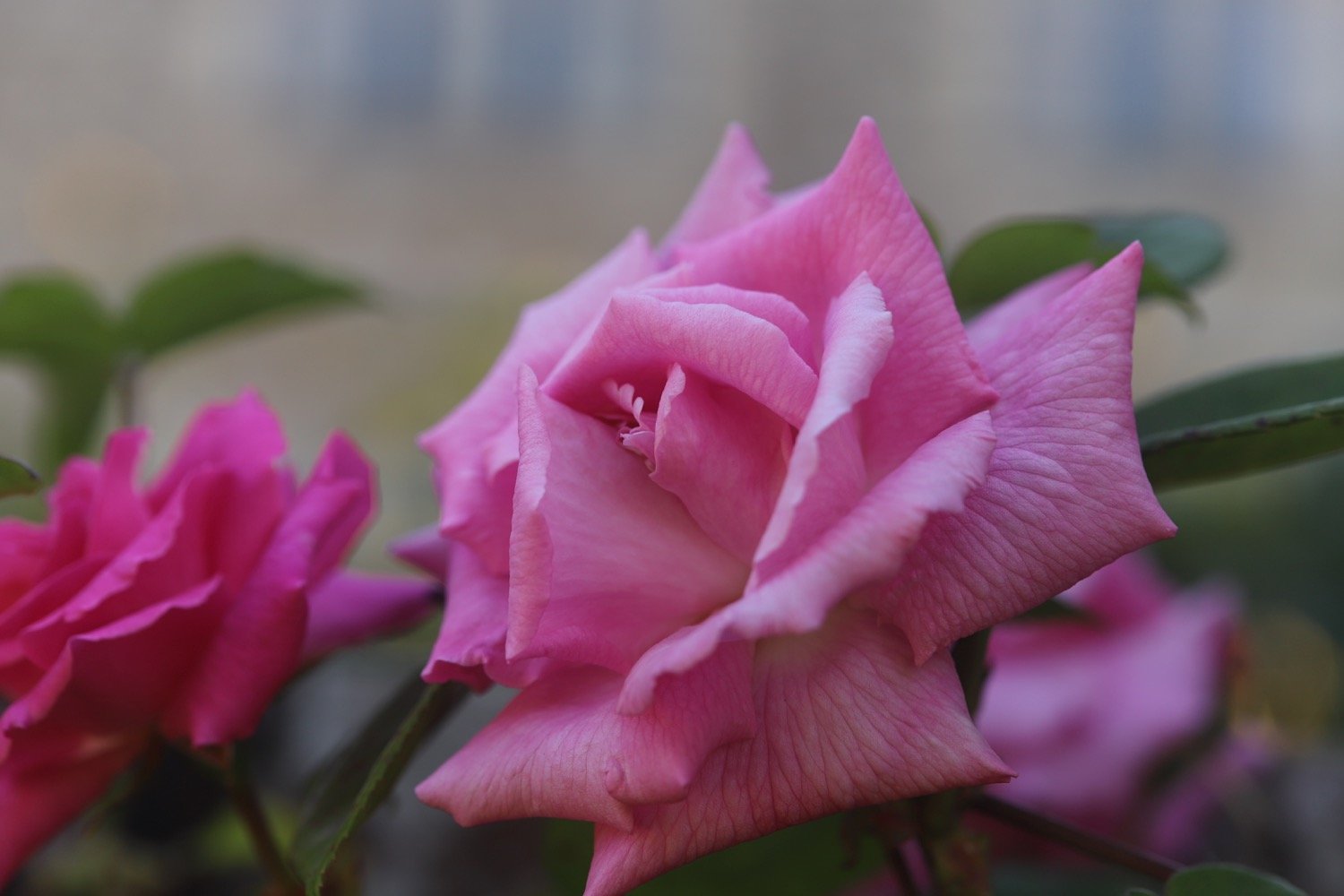
roses
forget-me-not
green alkanet
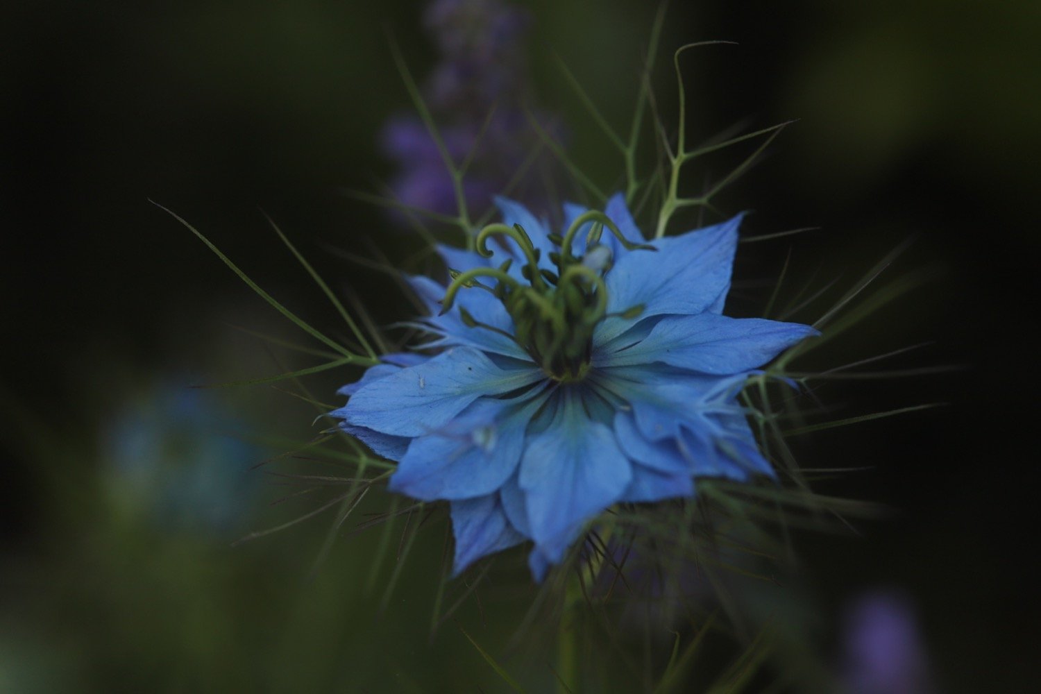
nigella
red valerian
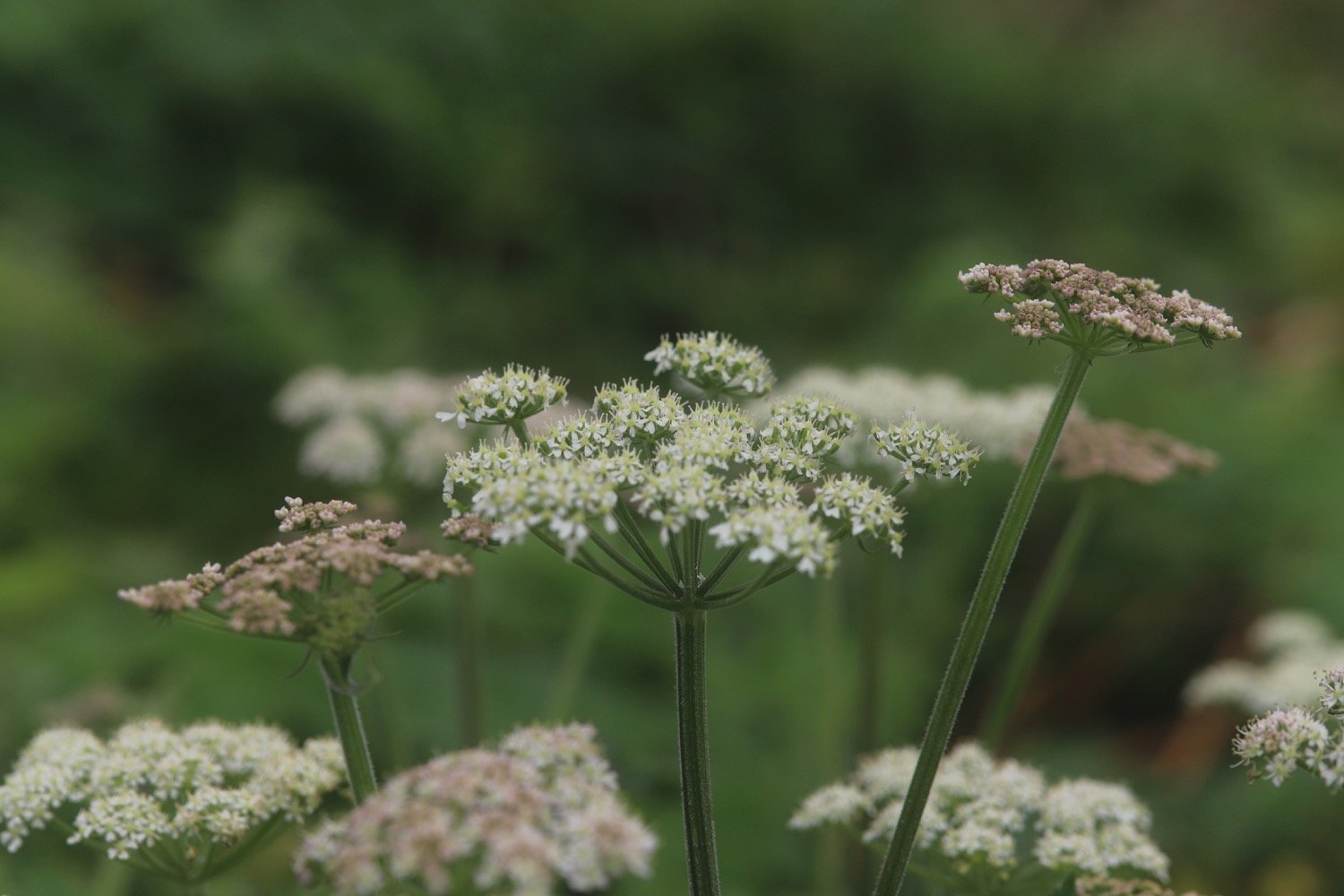
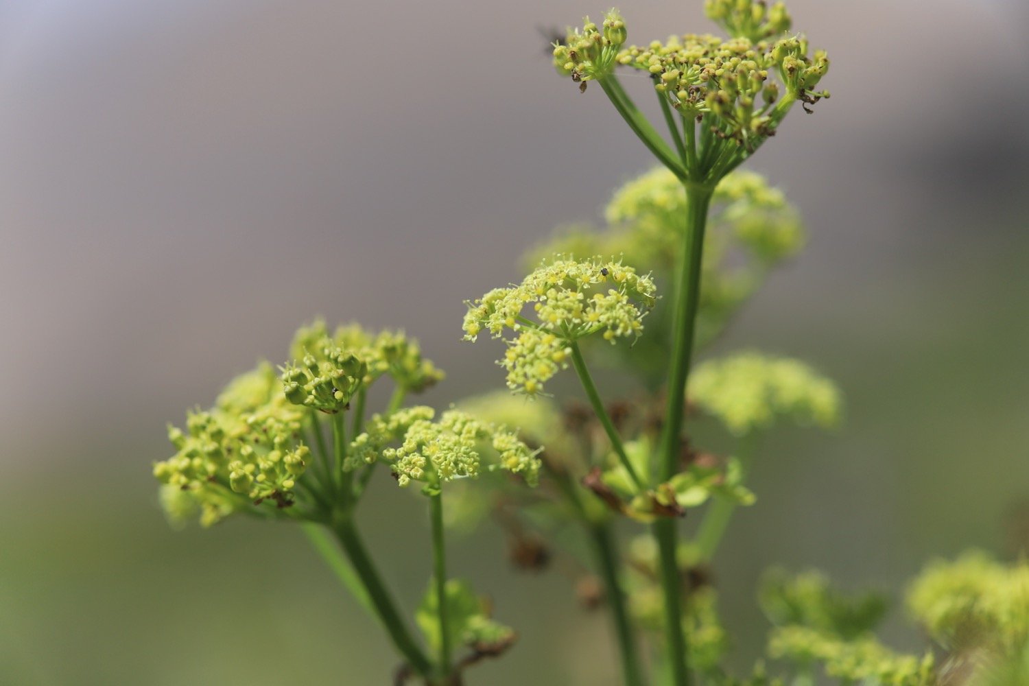
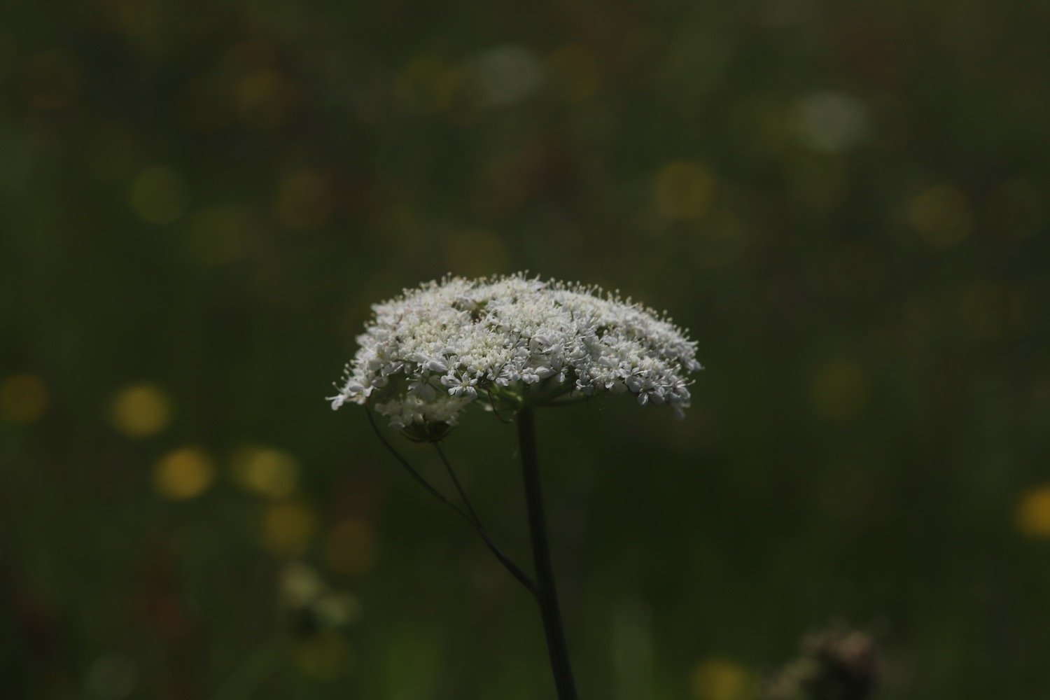
hogweed
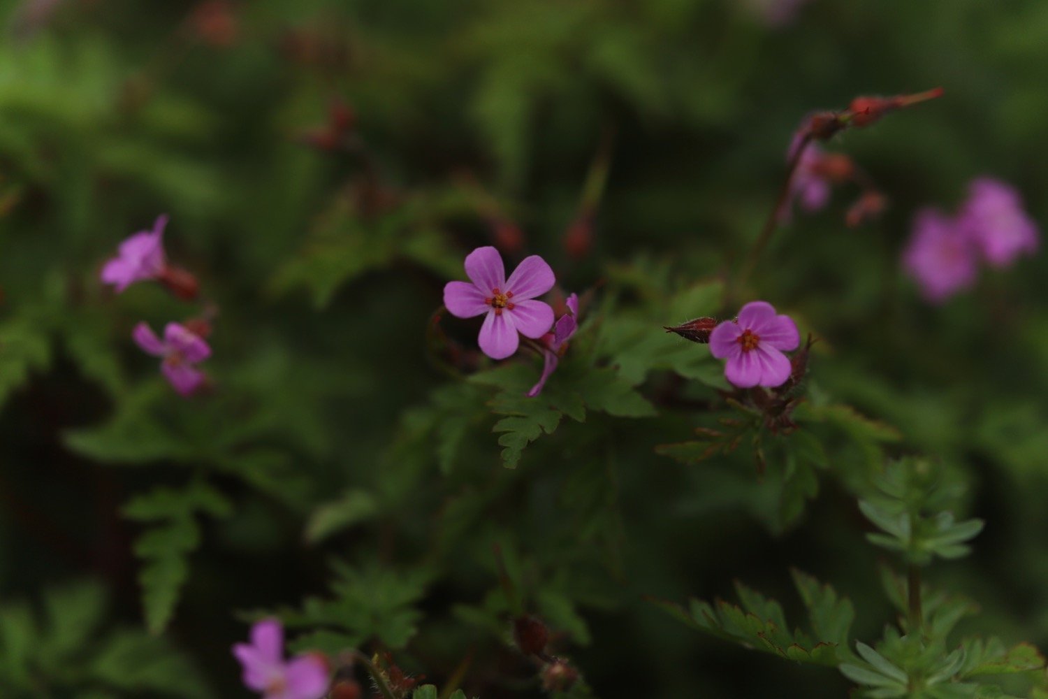
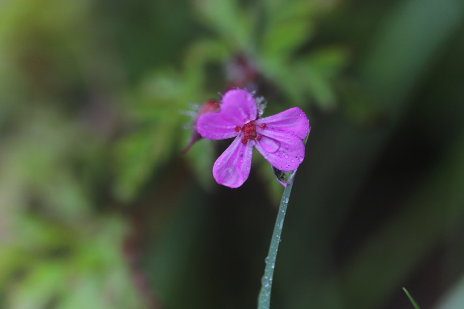
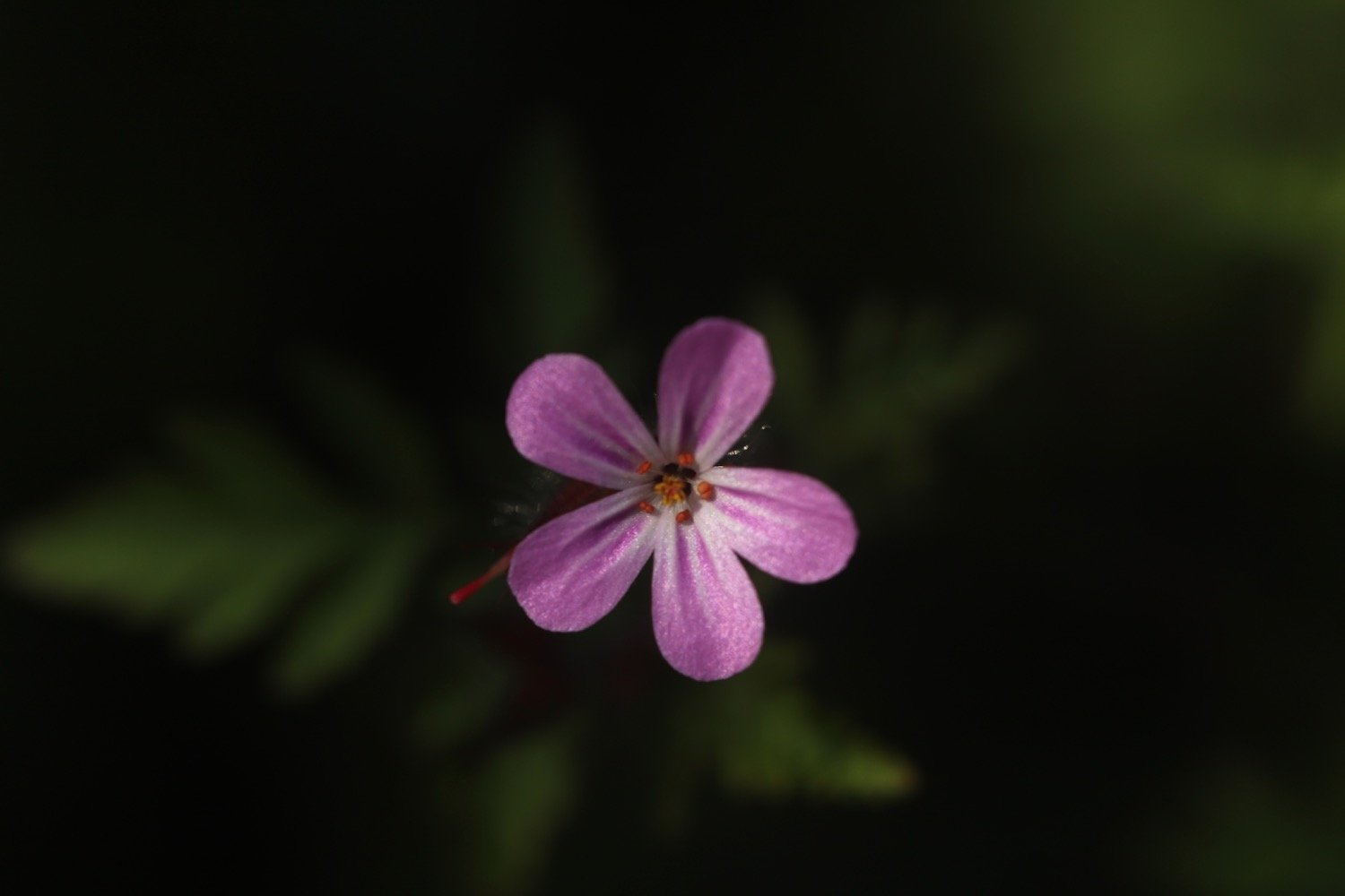
herb robert
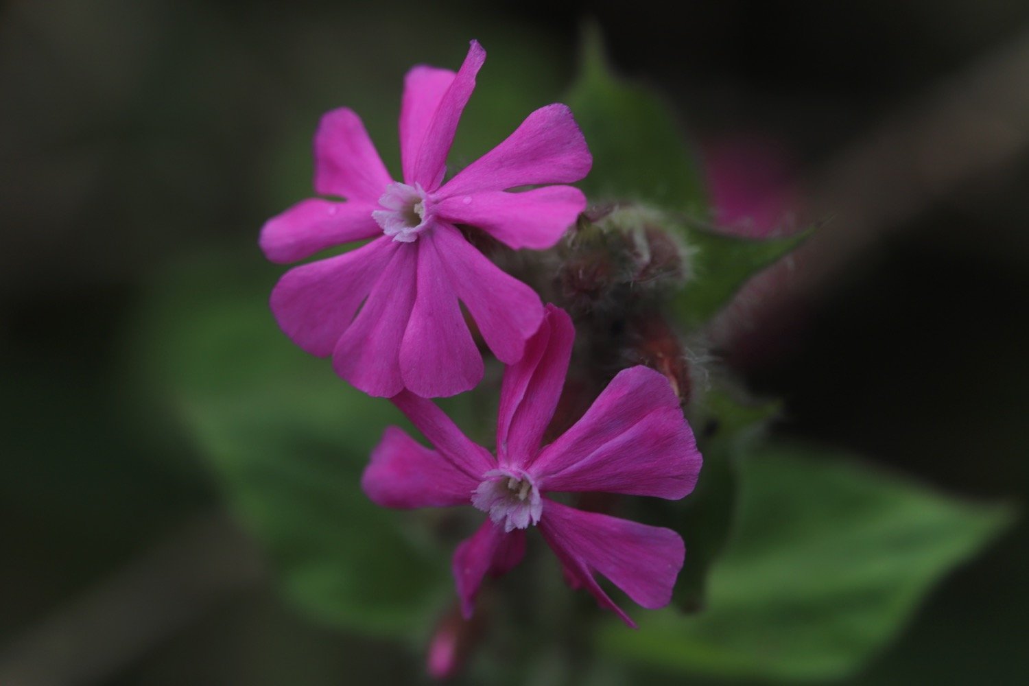
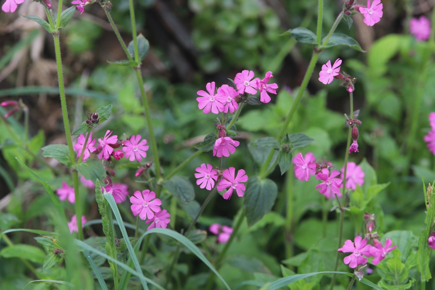
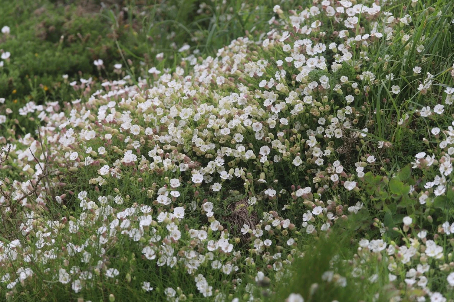
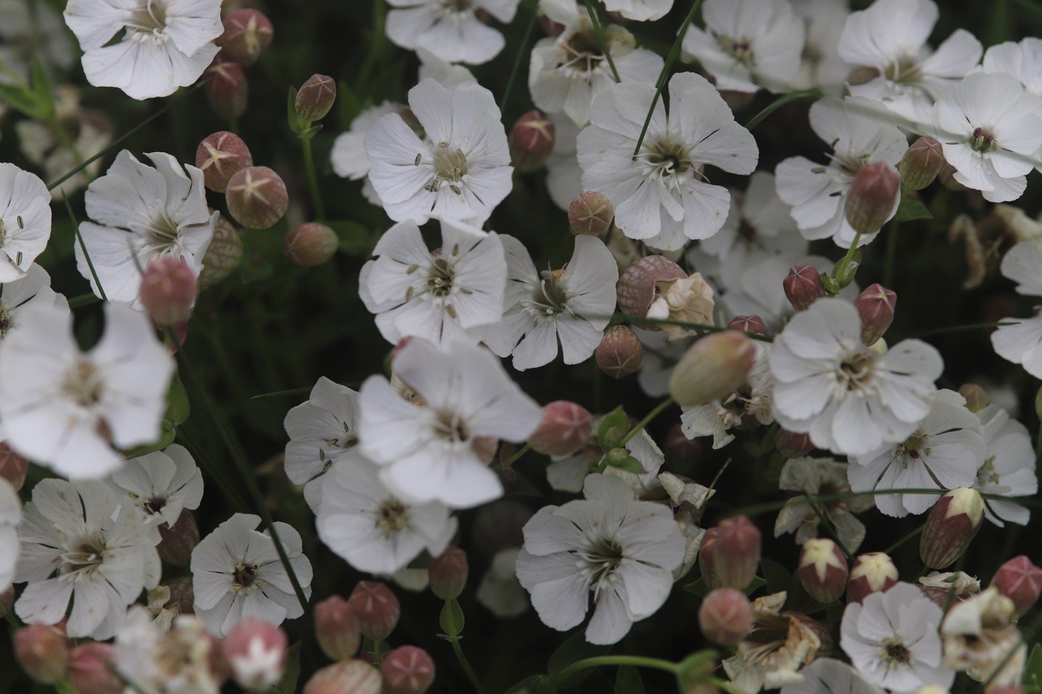
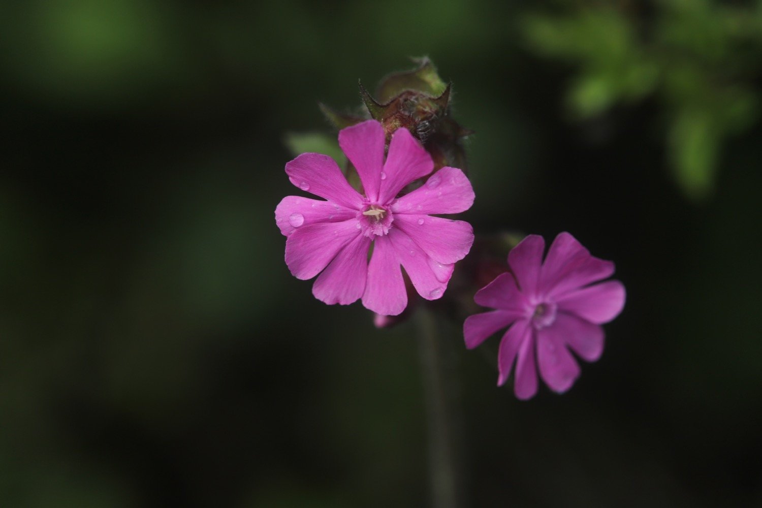
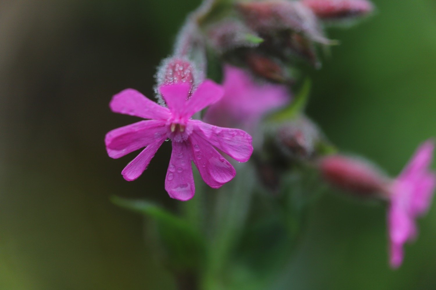
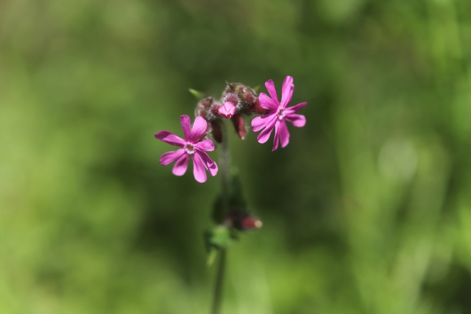
red campion
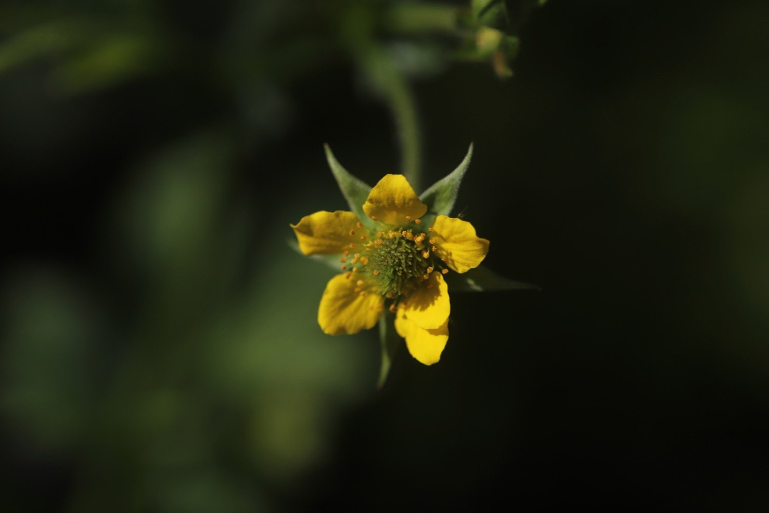
herb bennett
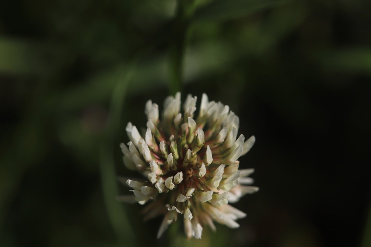
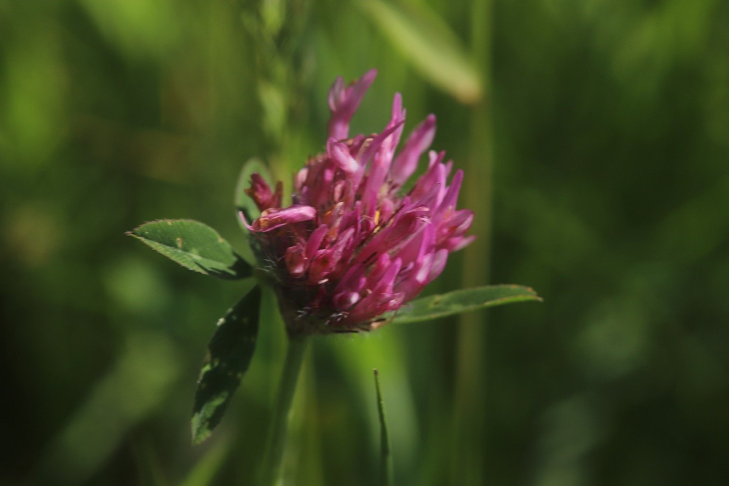
clover
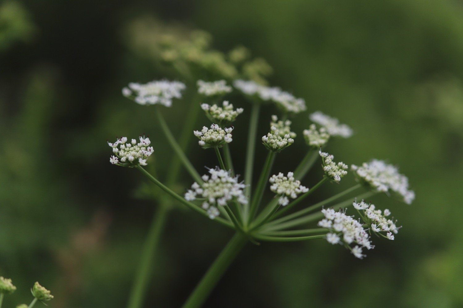
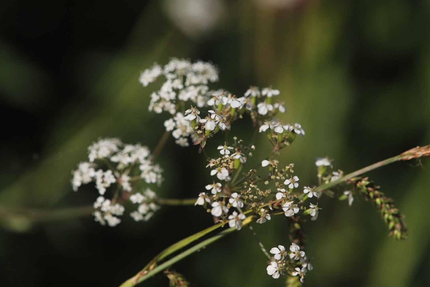
cow parsley
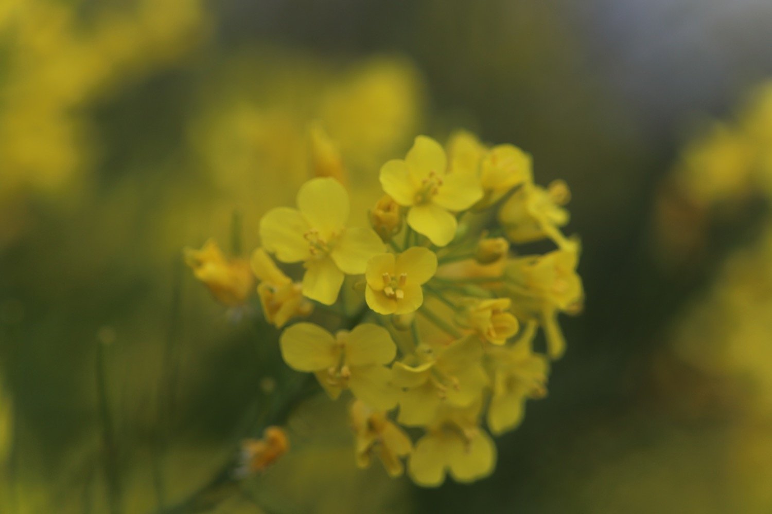
rape
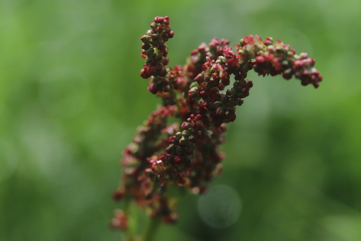
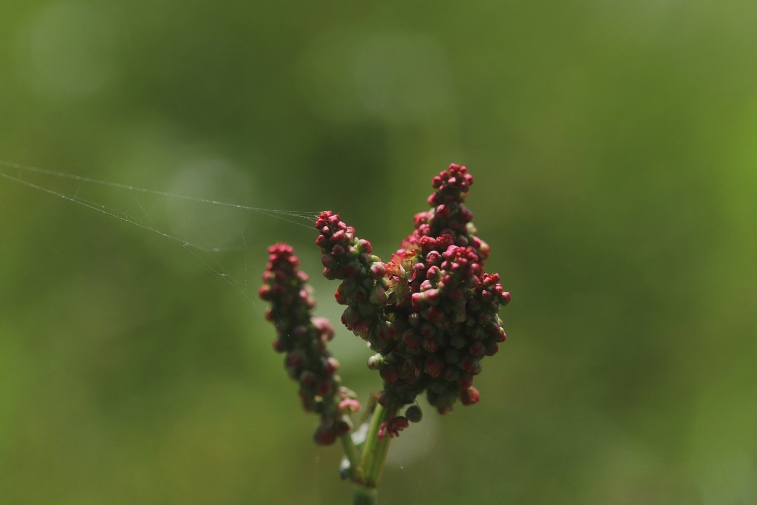
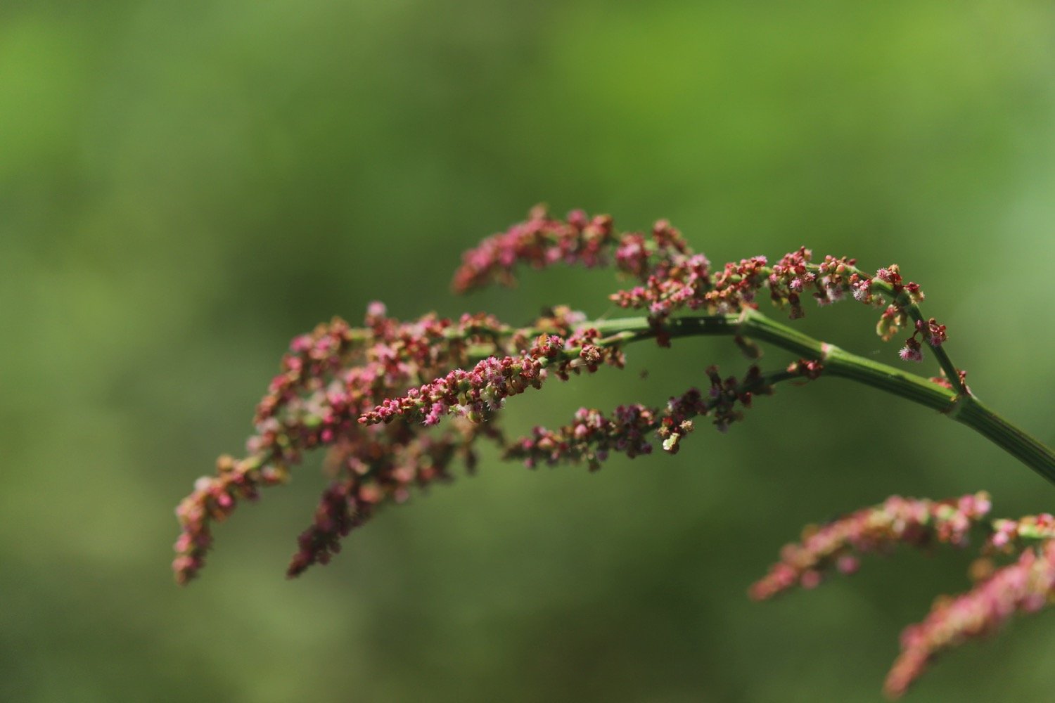
common sorrel
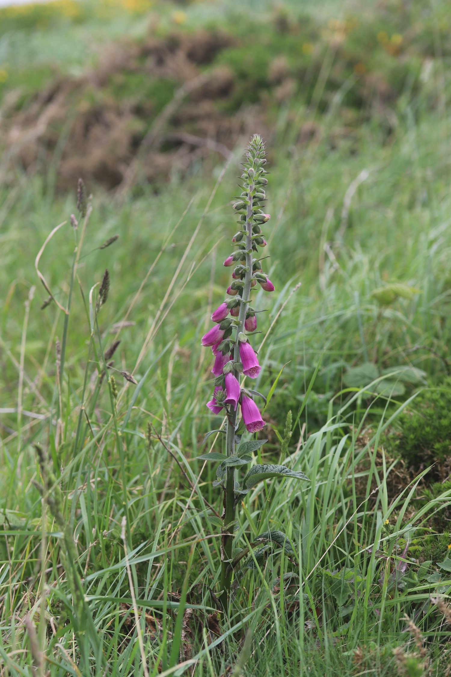
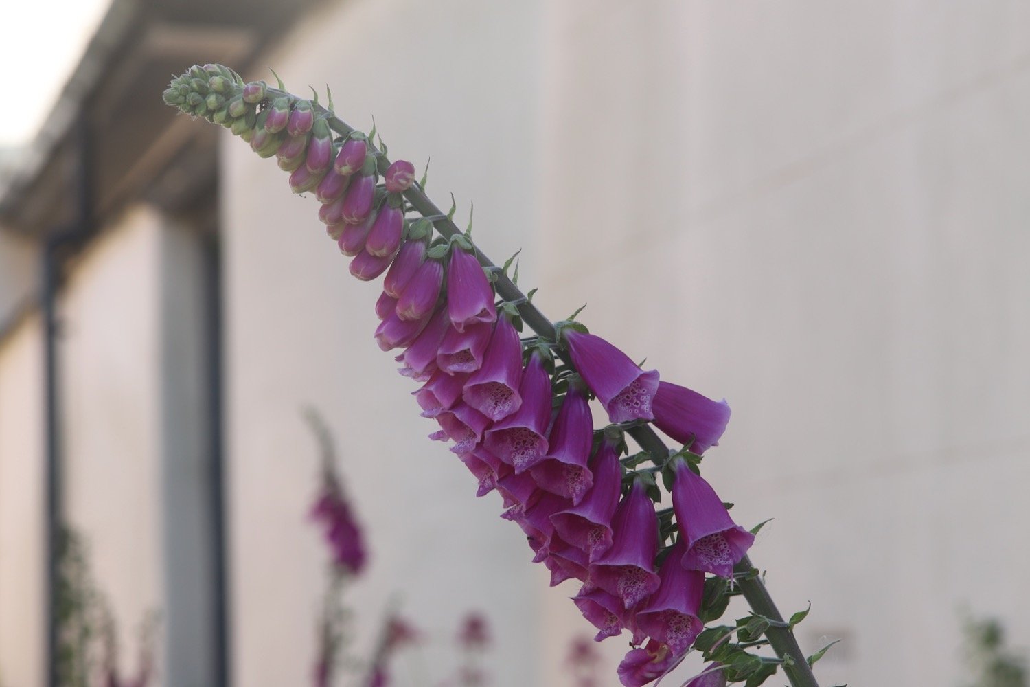
foxgloves
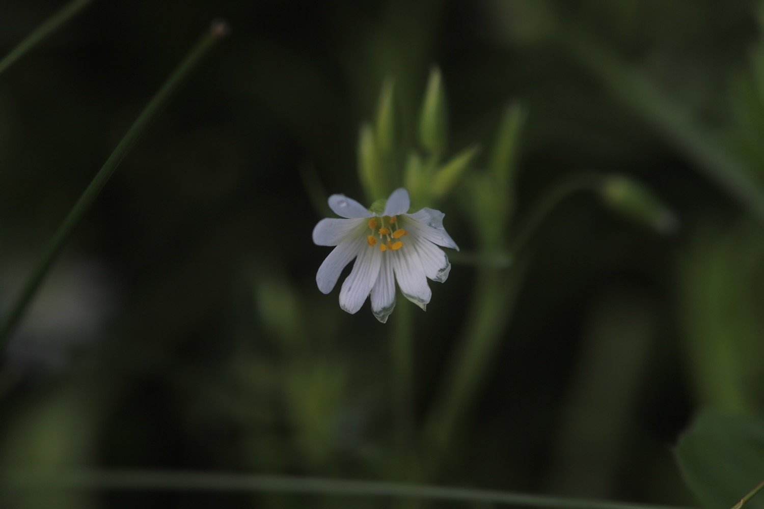
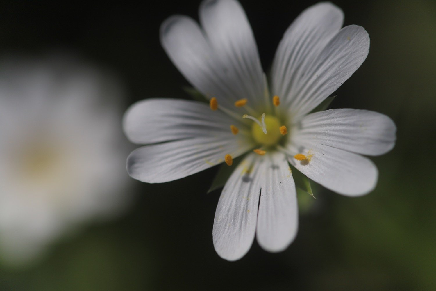
greater stitchwort
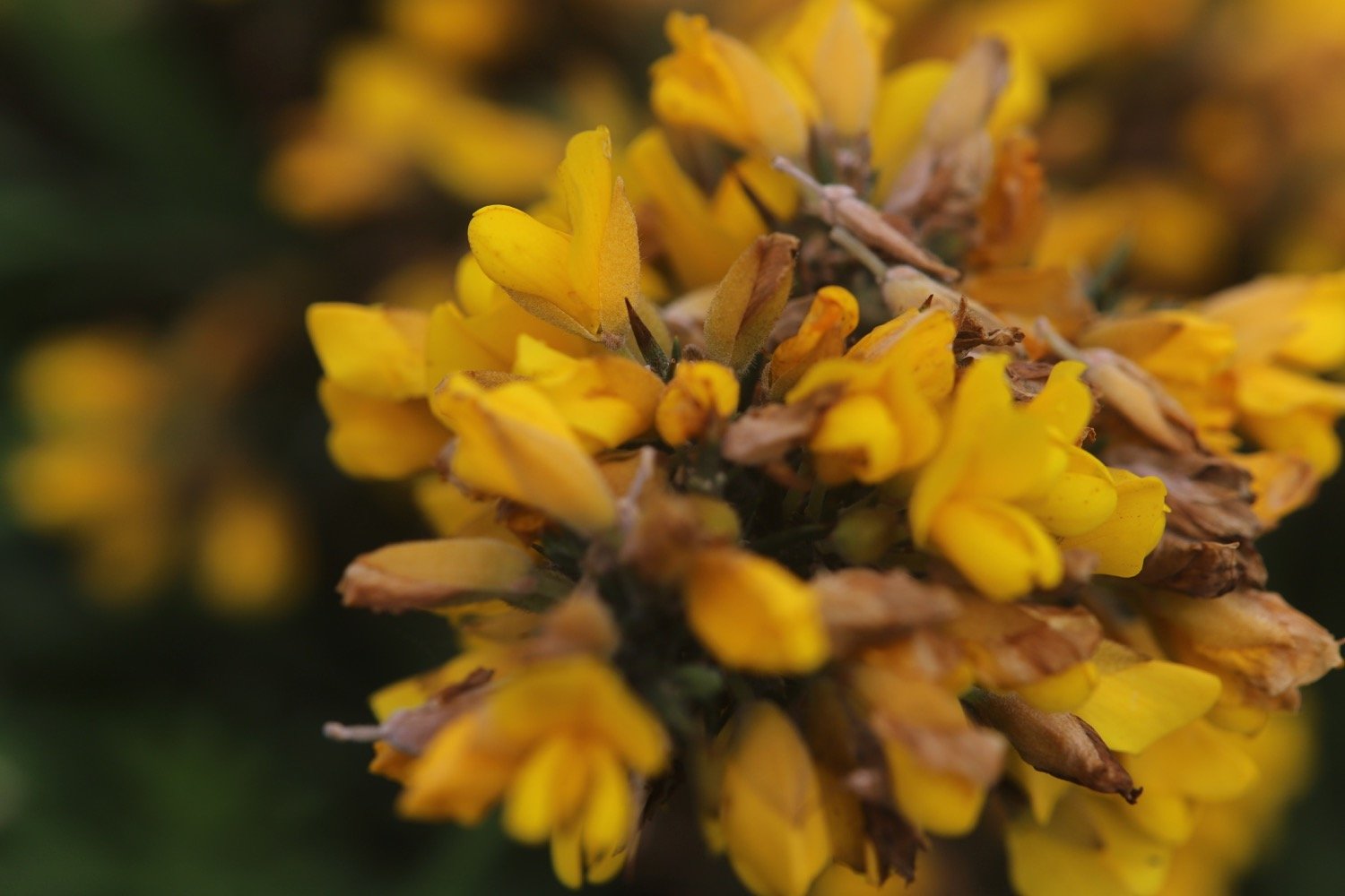
heather
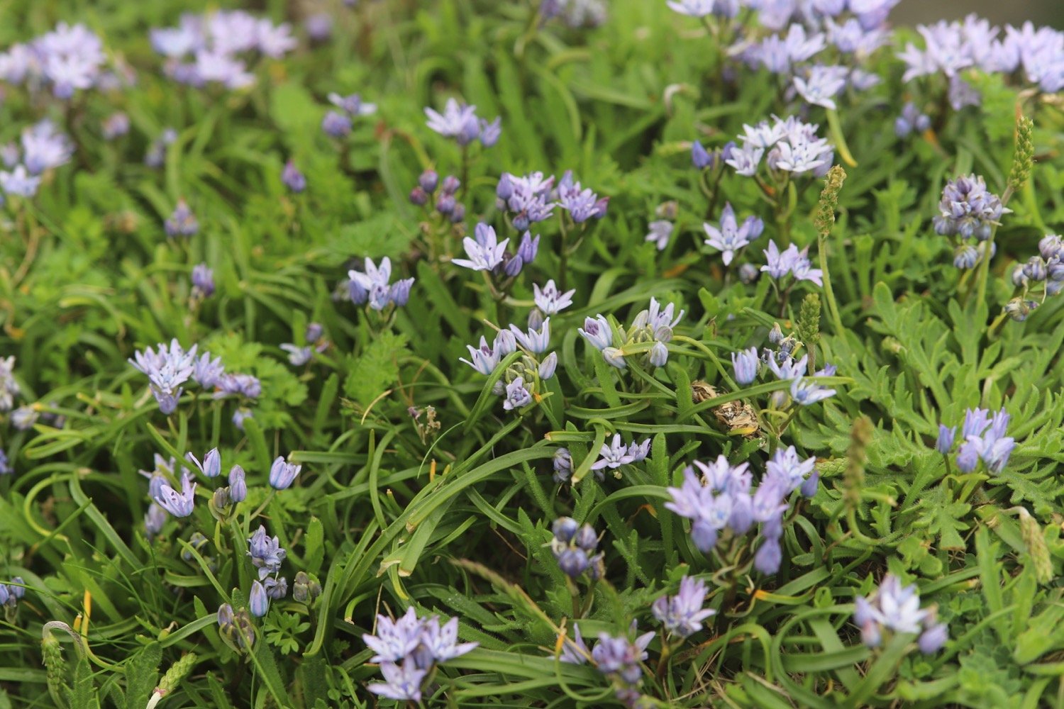
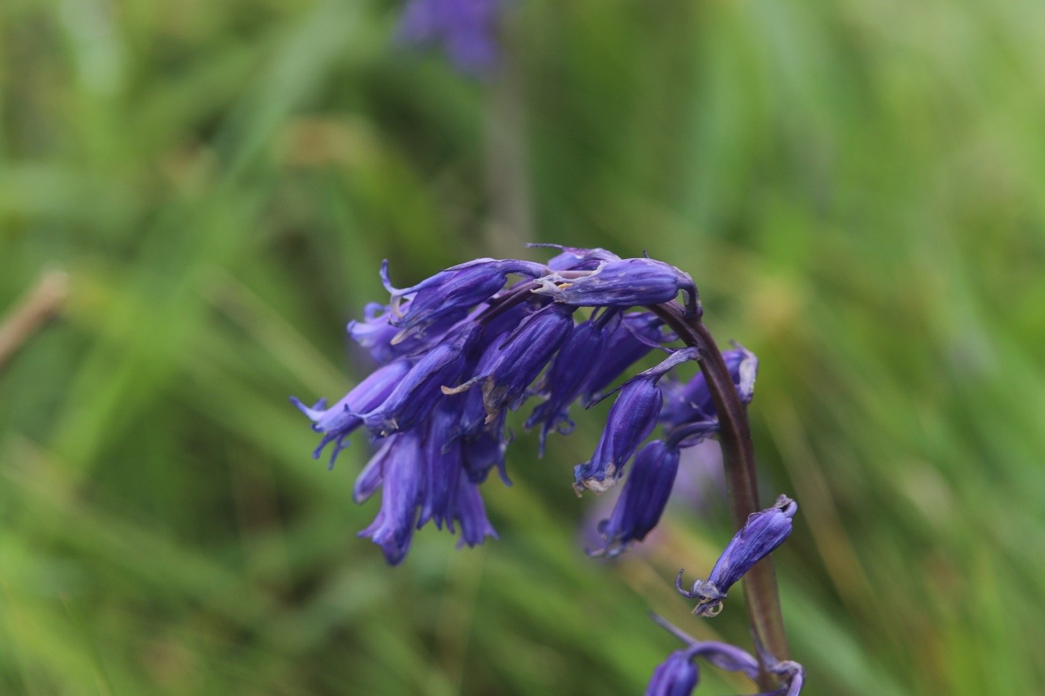
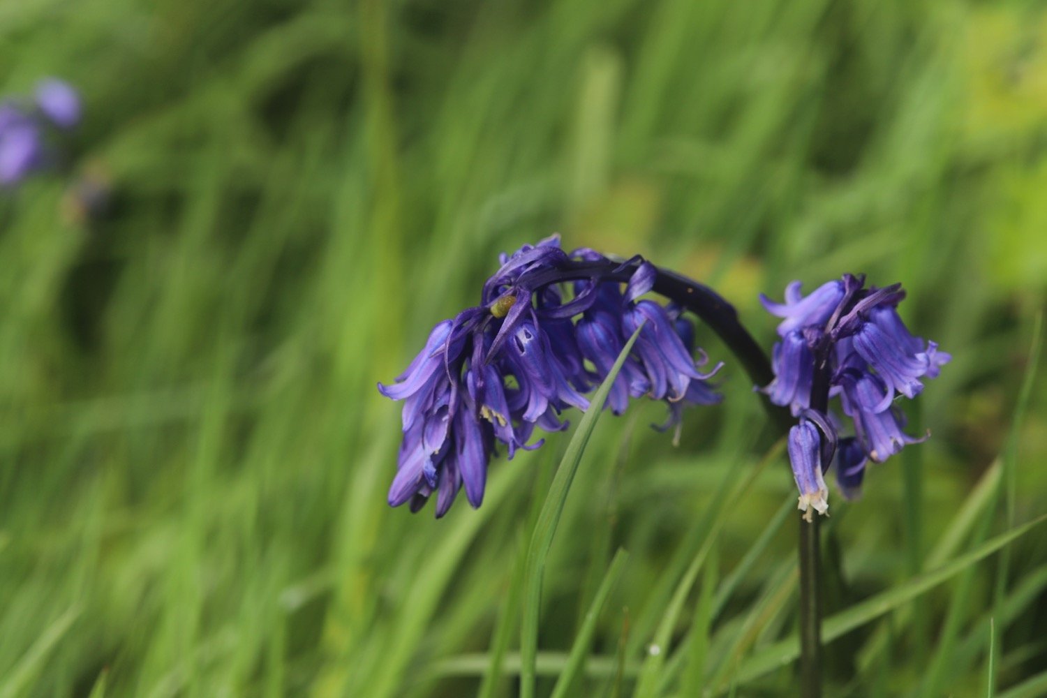
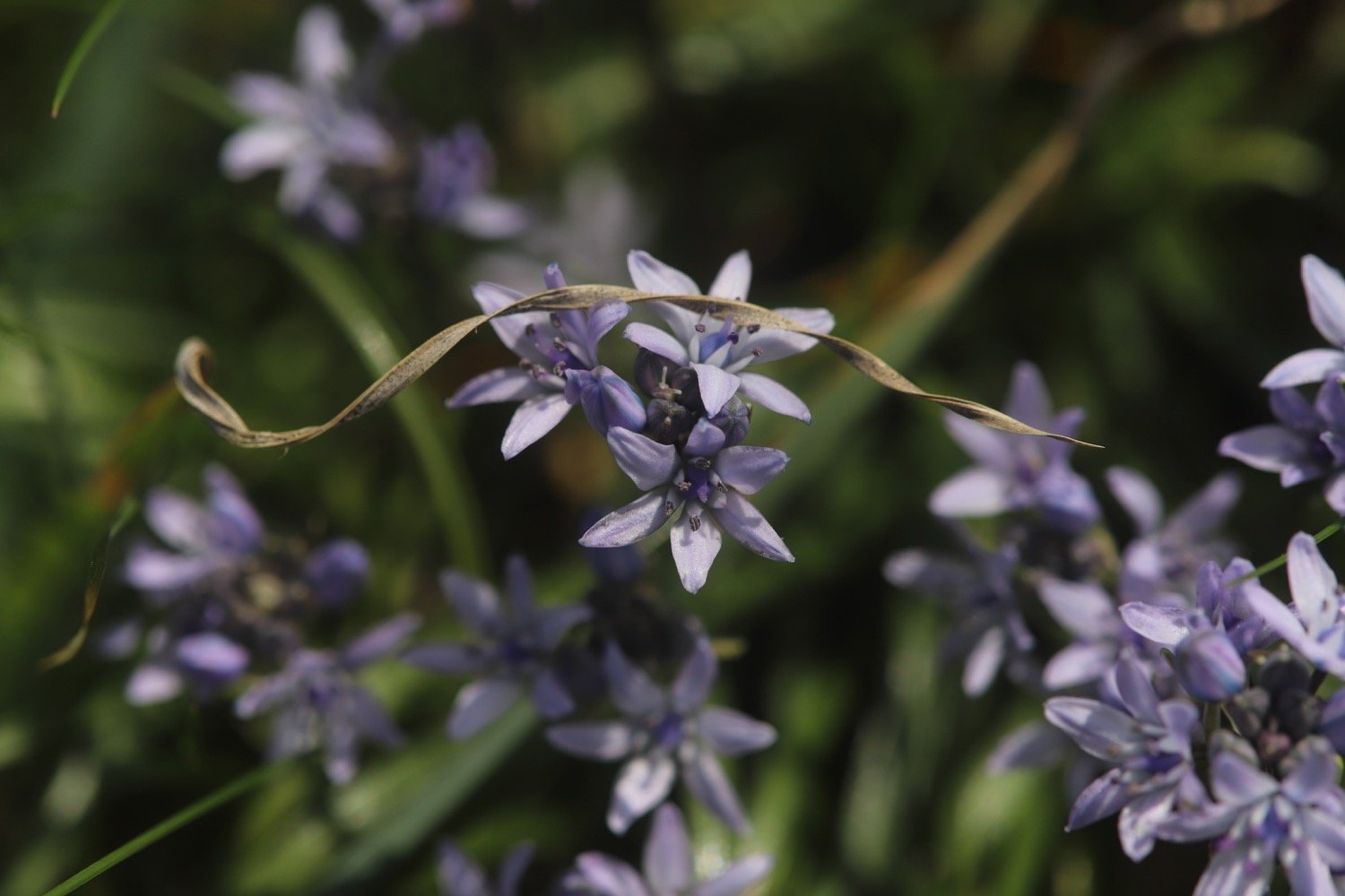
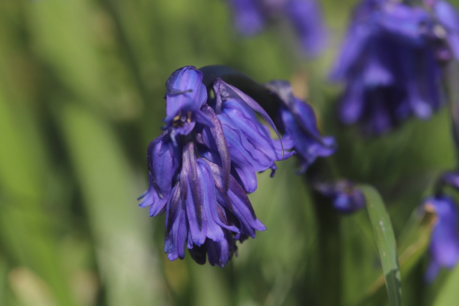
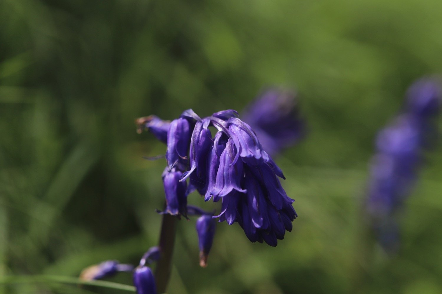
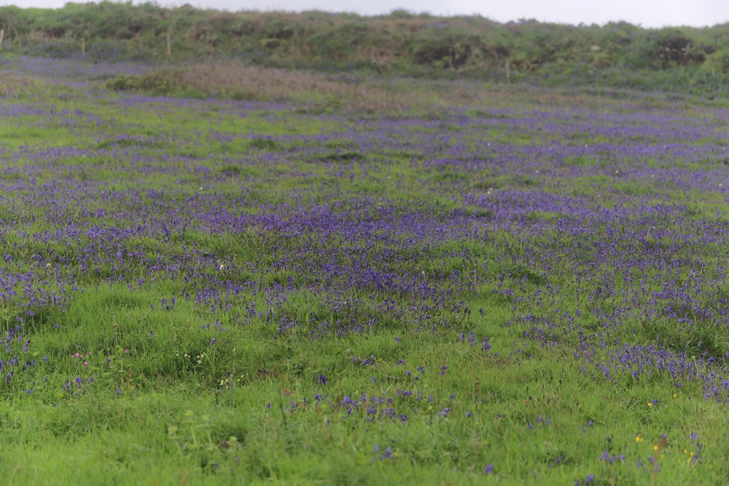
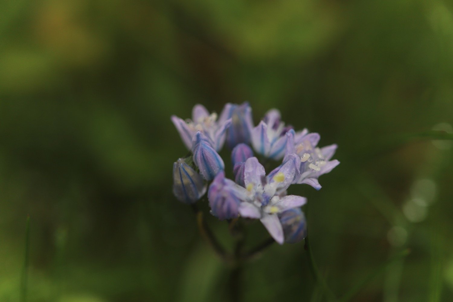
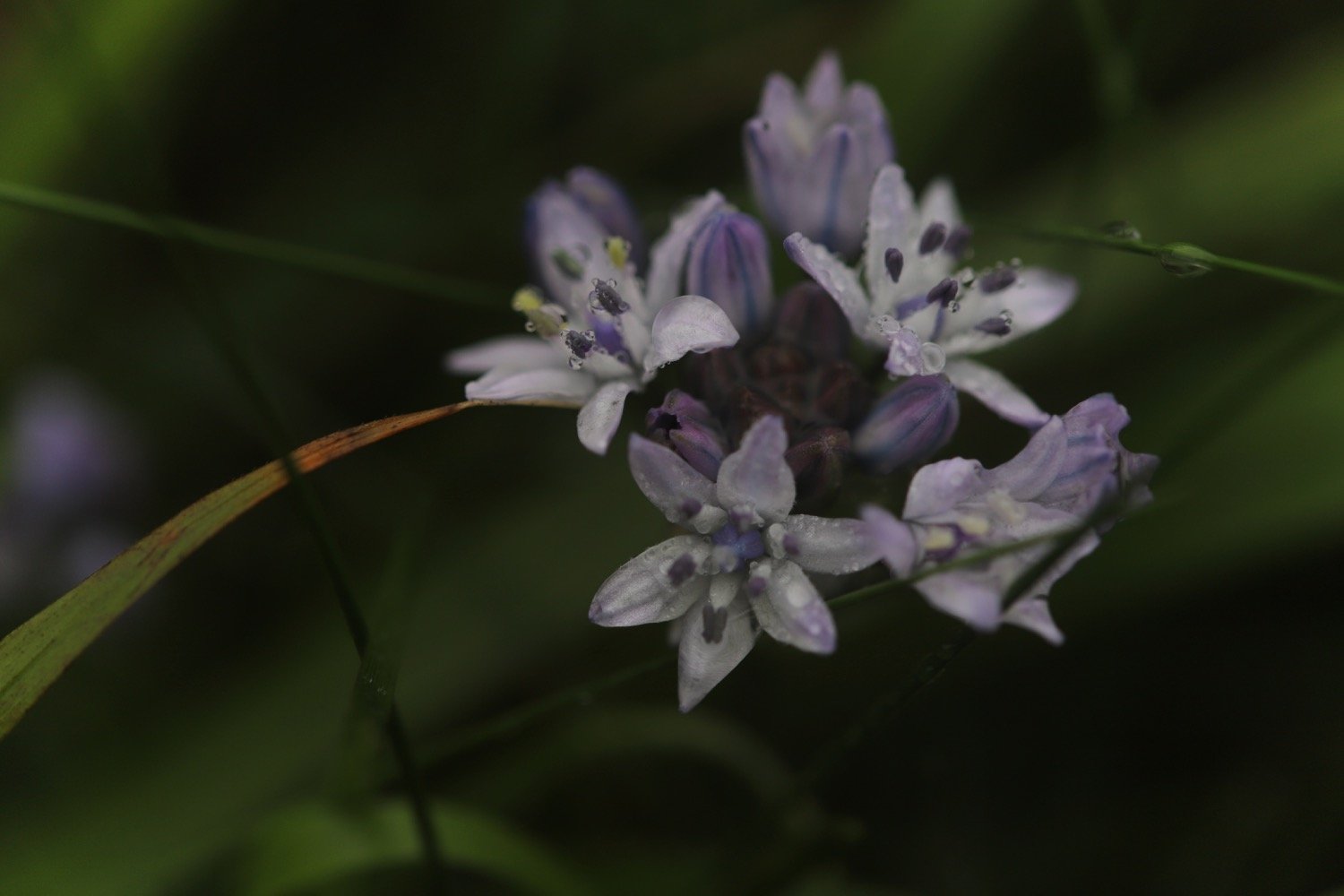
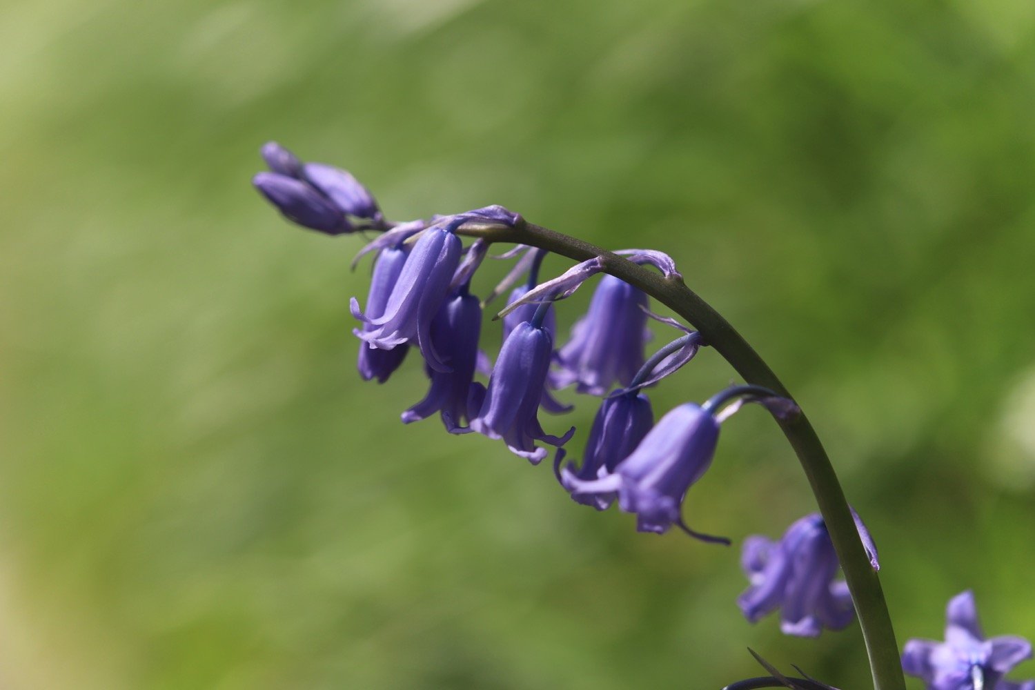
bluebells
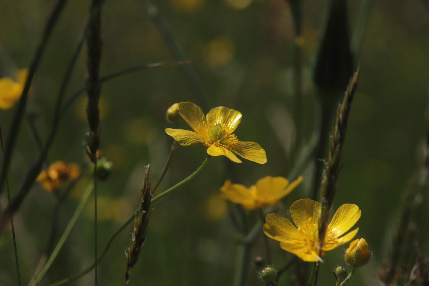
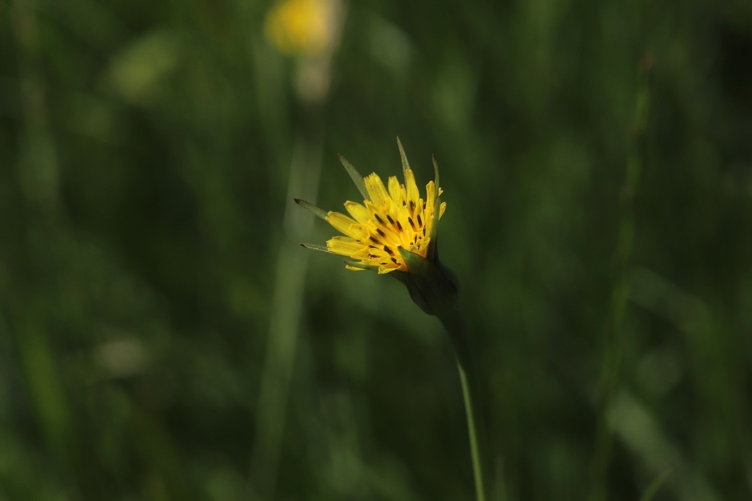
goat’s-beard
rooks
chaffinch
pheasants
chiffchaffs
song thrush
wrens
buzzard
donkeys
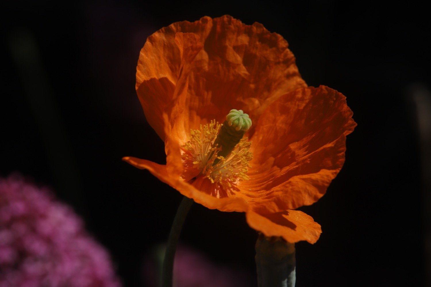
poppies
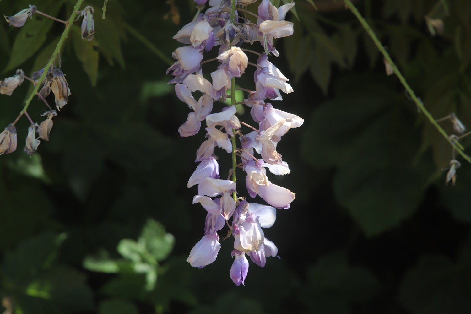
wisteria
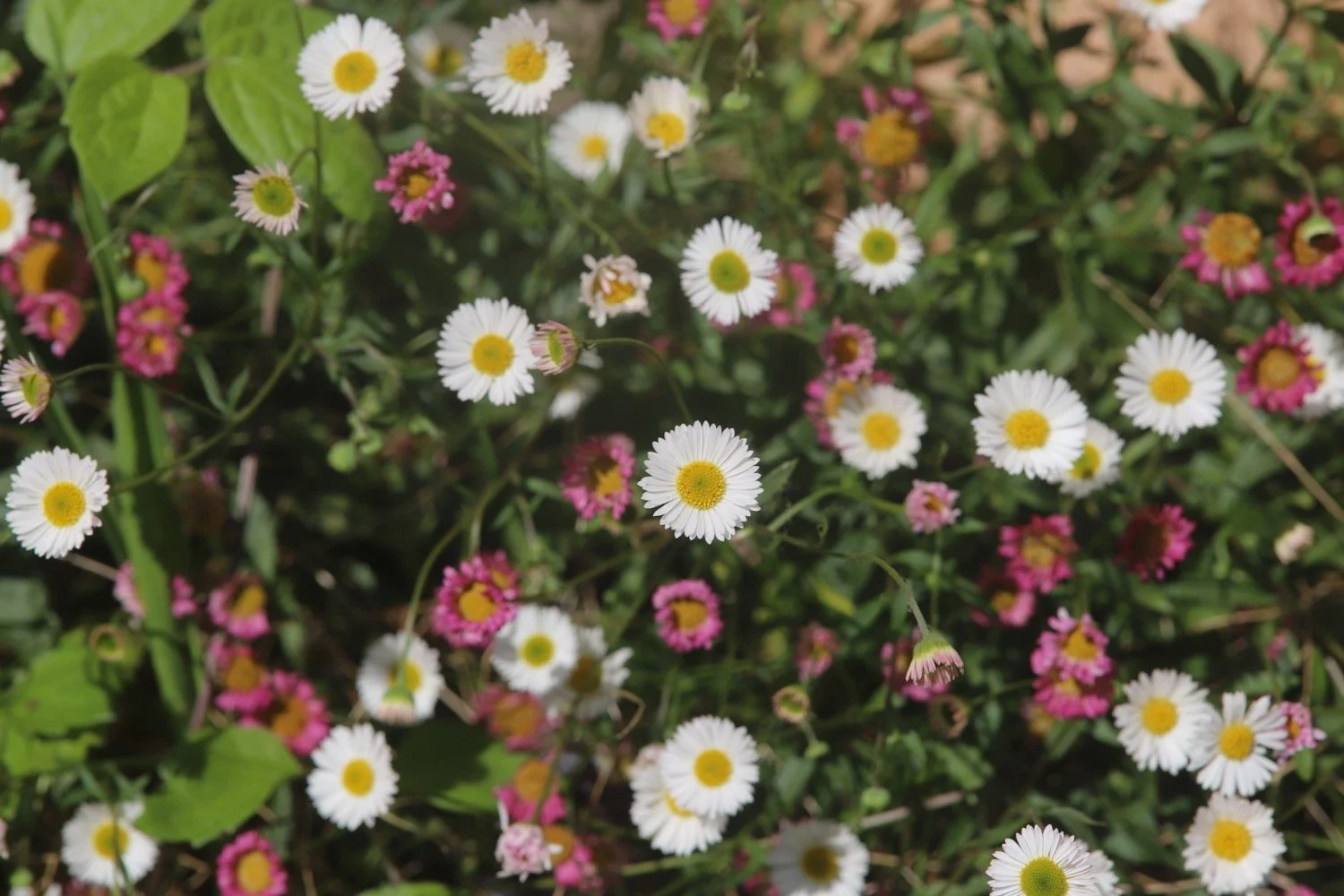
mexican fleabane
speckled wood butterfly
great spotted woodpecker
stonechat
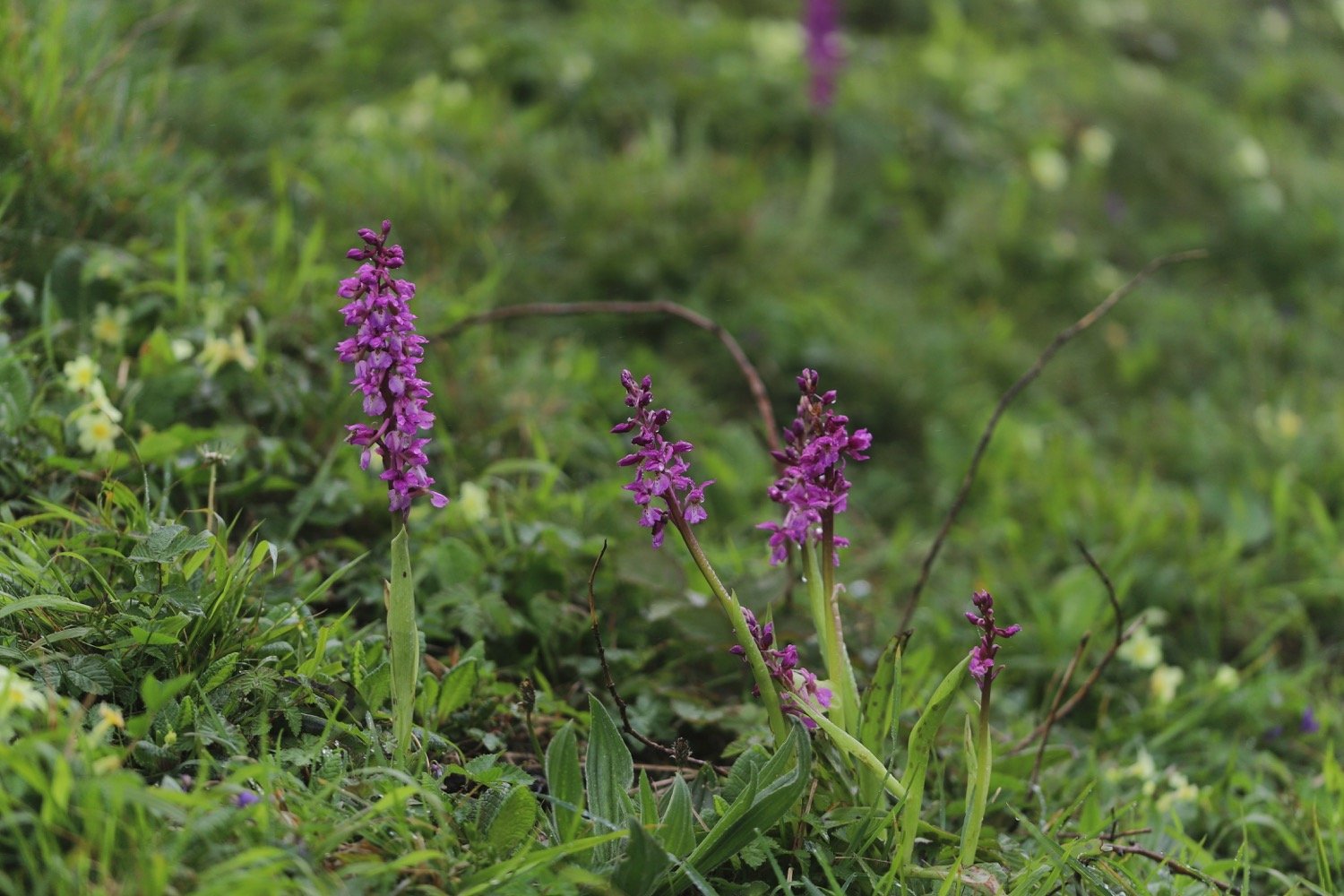
common spotted orchids
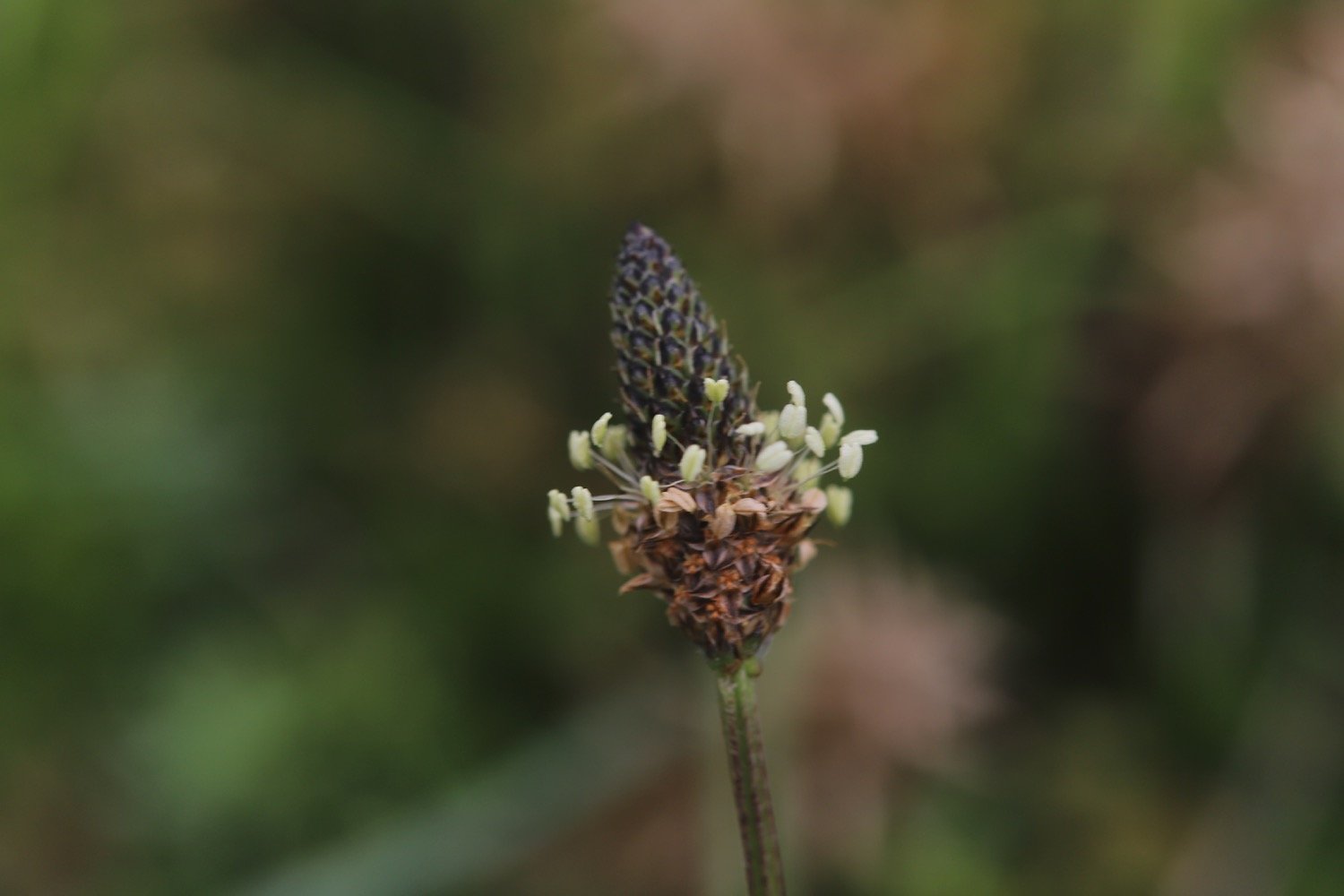
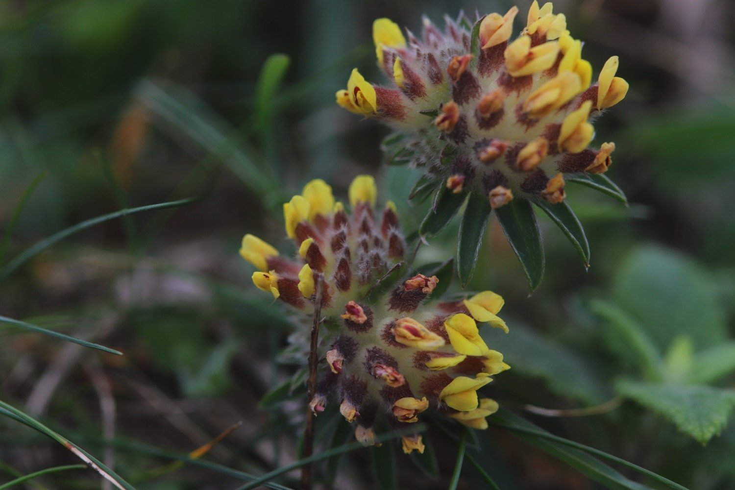
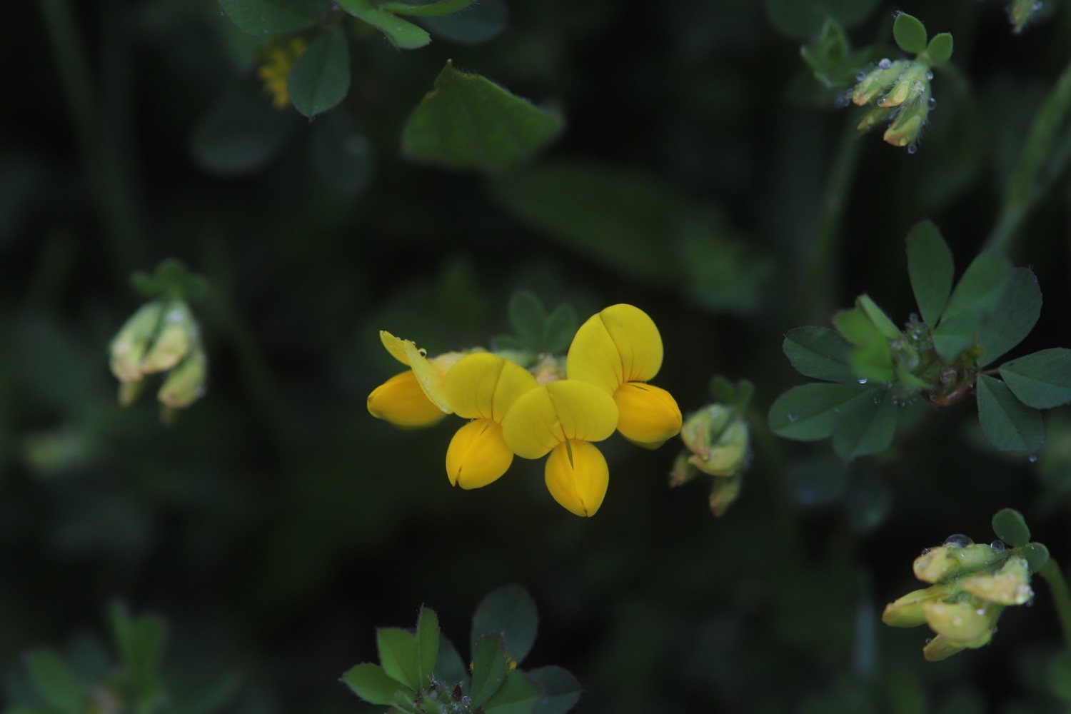
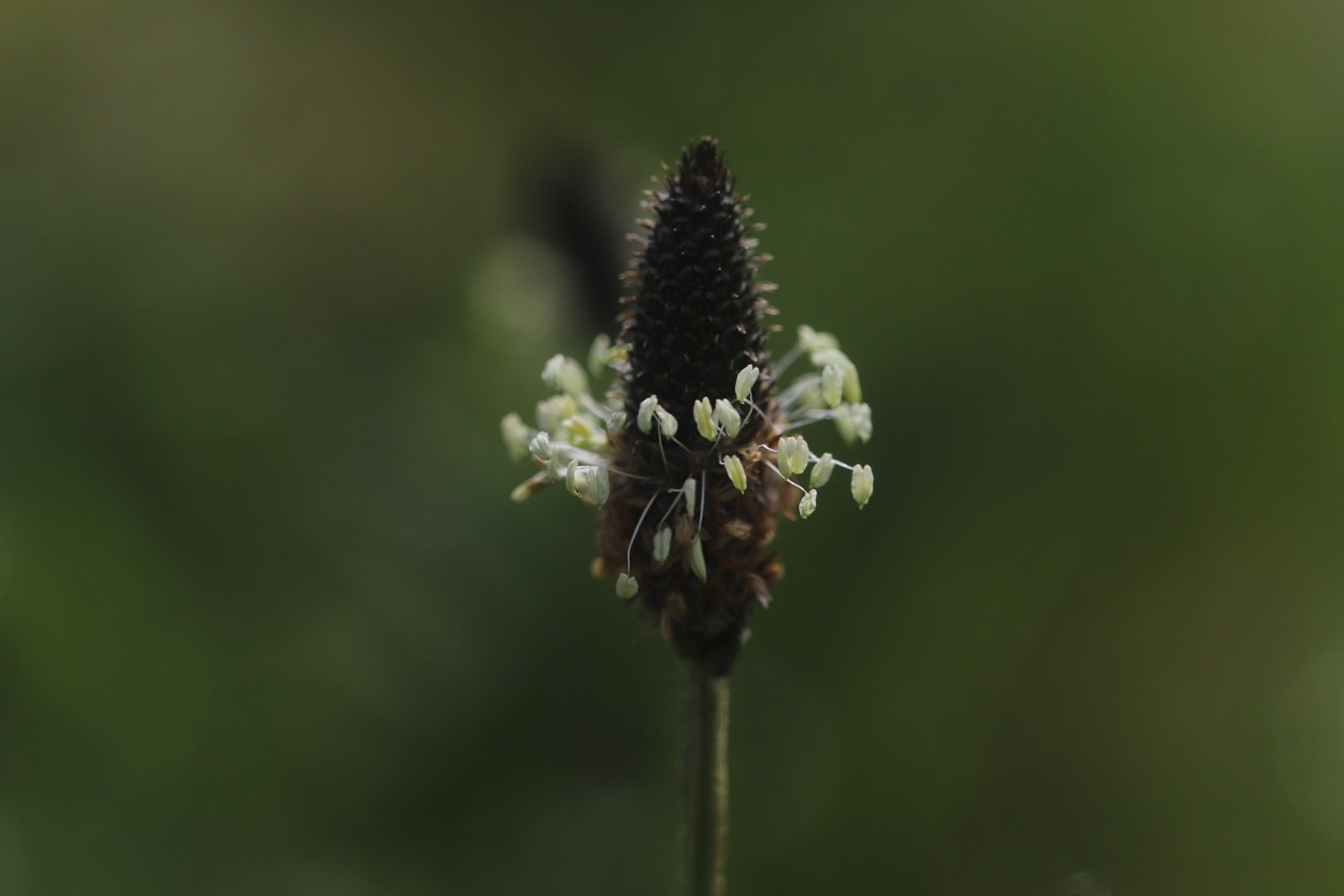
common bird’s-foot trefoil

PODCAST
The podcast of today's walk is now available. You can subscribe via Apple Podcasts or listen using the player below.

MARKS OUT OF TEN?
According to my phone I've walked 11.2 miles which amounts to 25907 steps. It has taken me four and three quarter hours. The weather has been magnificent and the walking has been lovely. Ten out of ten!
WALK DETAILS
MAP
donkeys
logs
st gregory the great
common spotted orchid
poppies
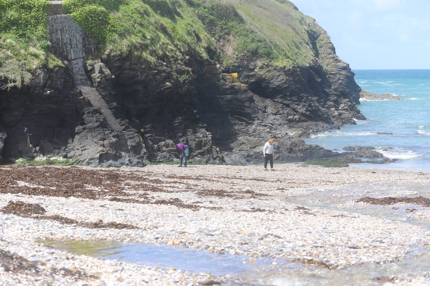
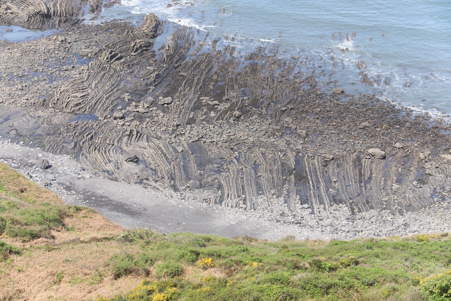
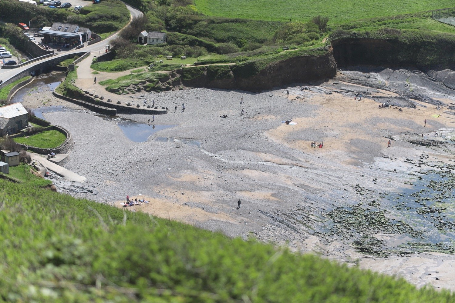
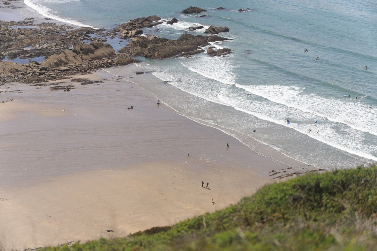
(not) beach collection