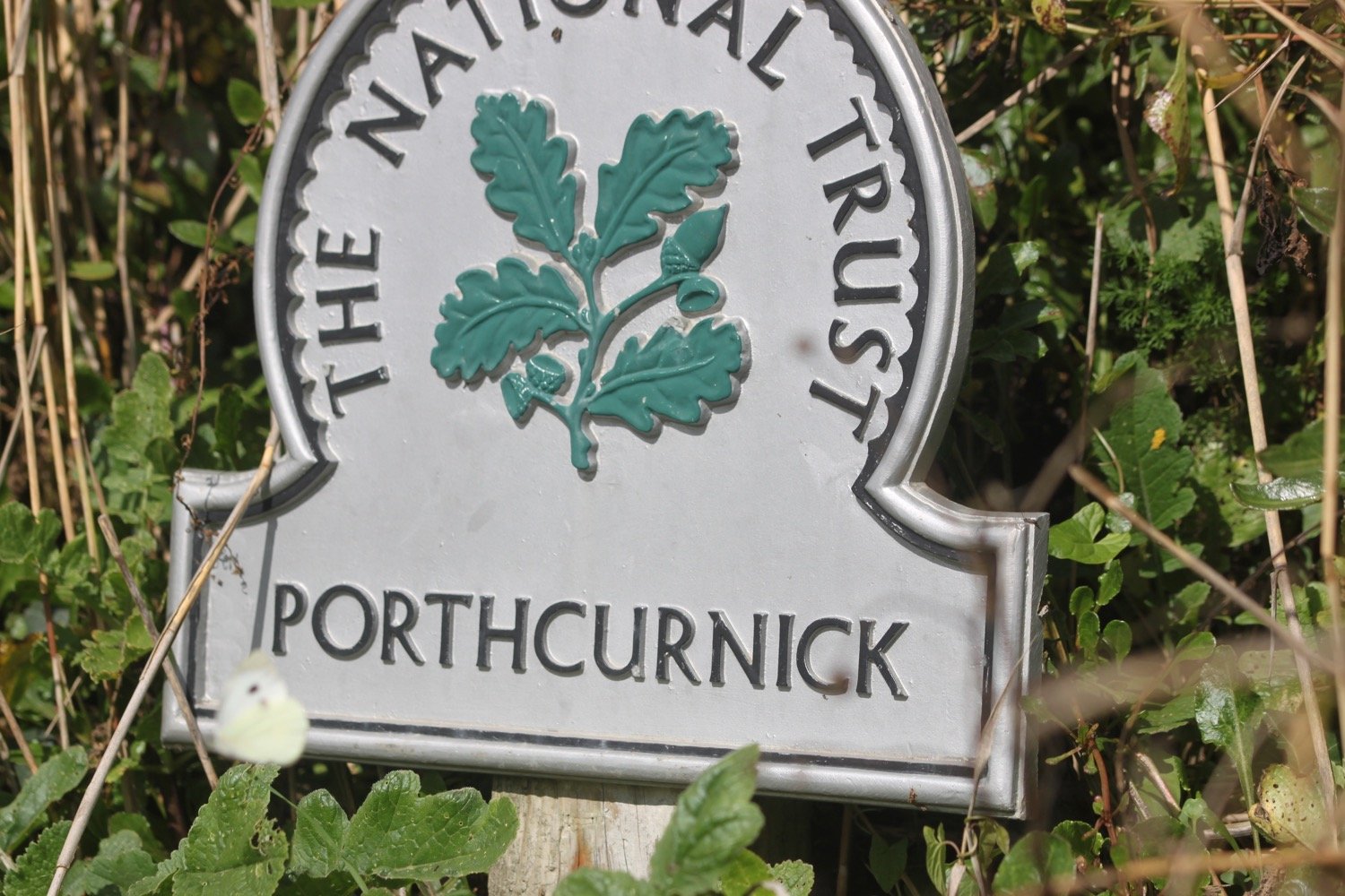
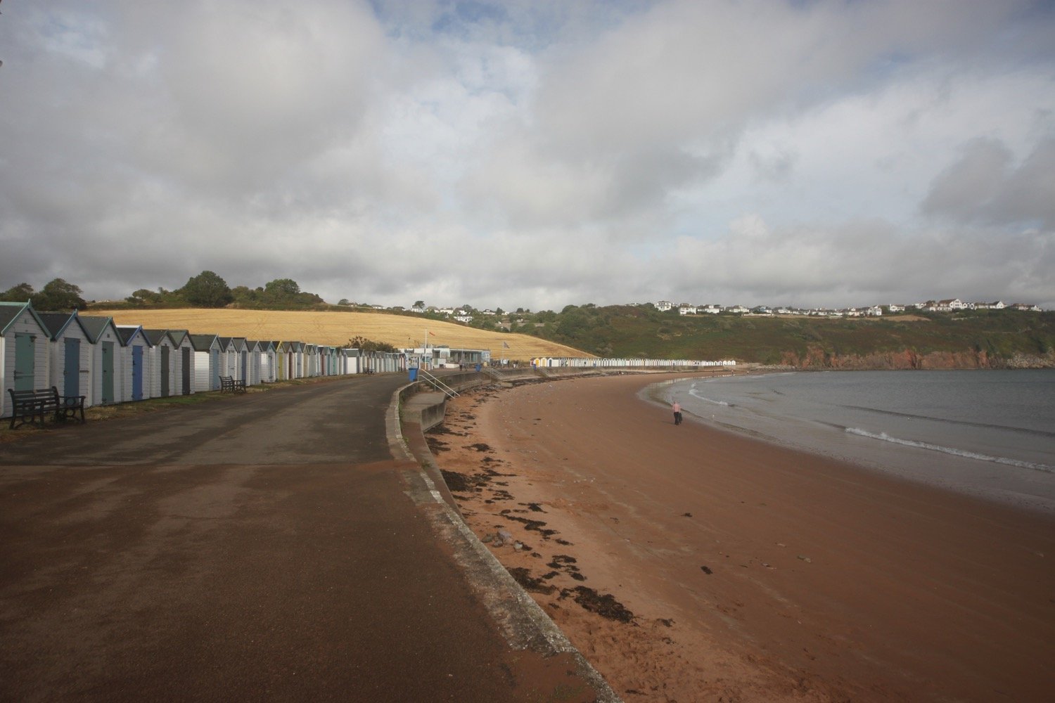
portscatho to falmouth
SOUTH WEST COAST PATH
sunday, 25TH SEPTEMBER 2022
The weather forecast for today looks to be pretty good so it’s time to get cracking.

Falmouth high tide 05:53
Falmouth low tide 12:18

It’s a relatively late start for us as it’s a Sunday and the King Harry Ferry doesn’t start until 09:00. We catch the first ferry which is a relatively expensive £7 single and then head to the car park above Portscatho at Gerrans. I amble down through the village, passing the Plume of Feathers.
plume of feathers
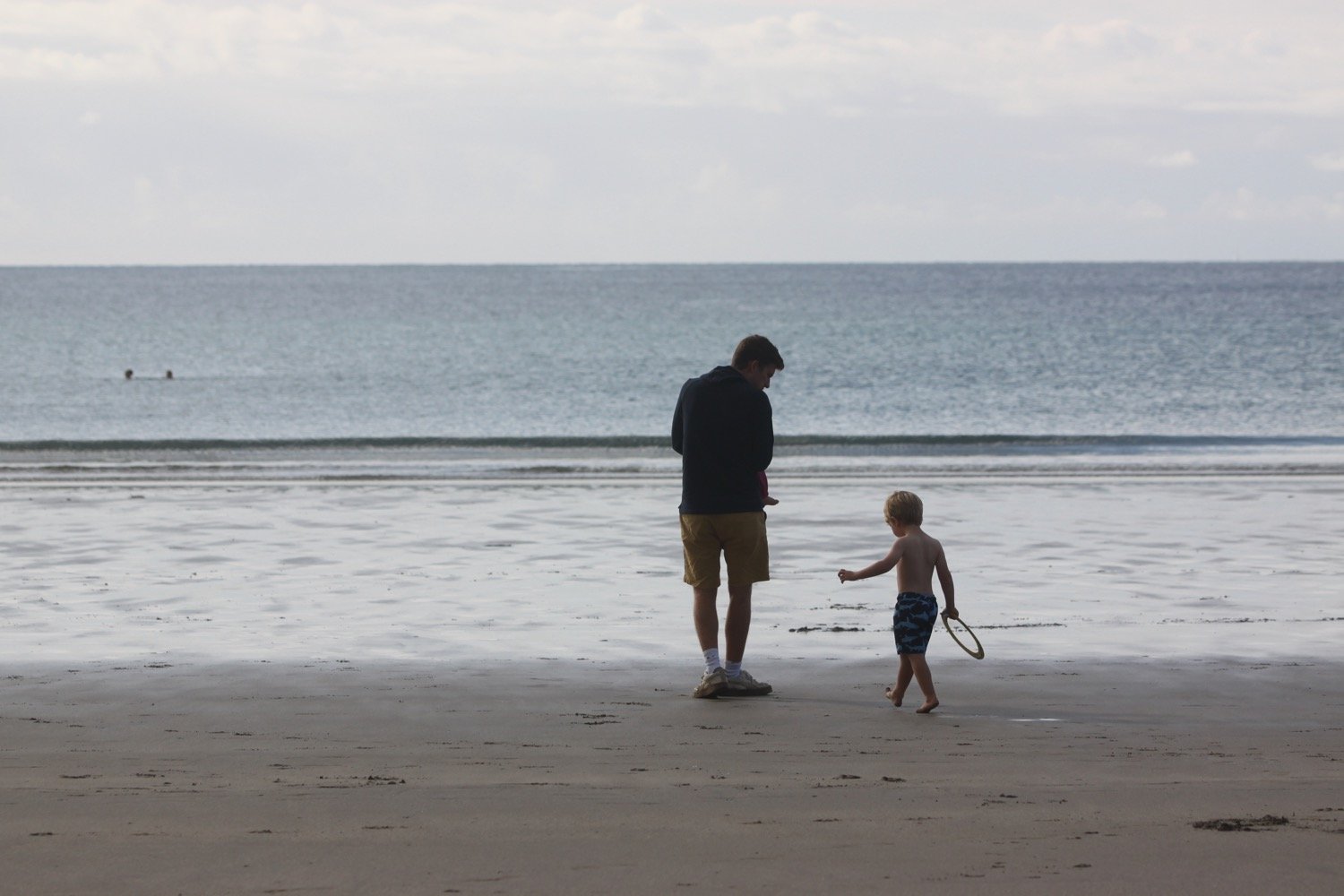
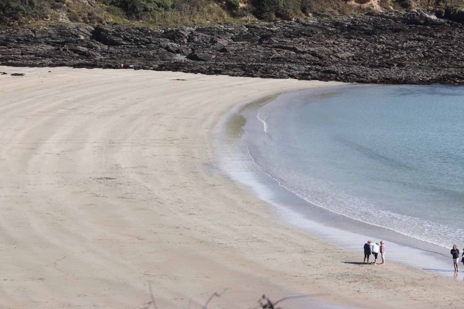
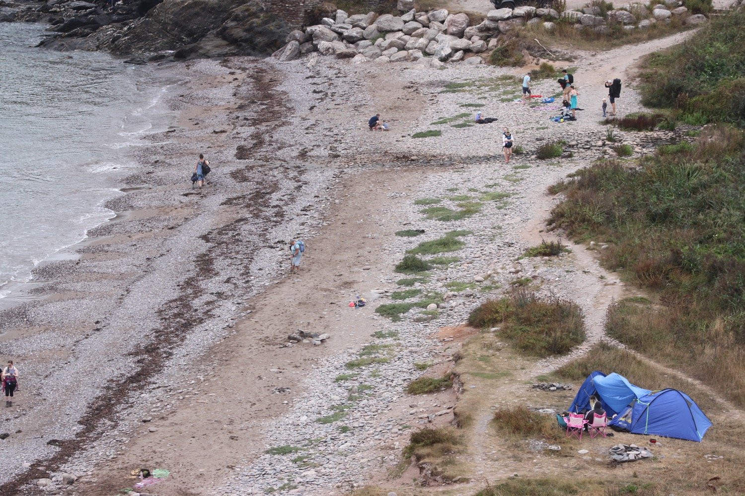
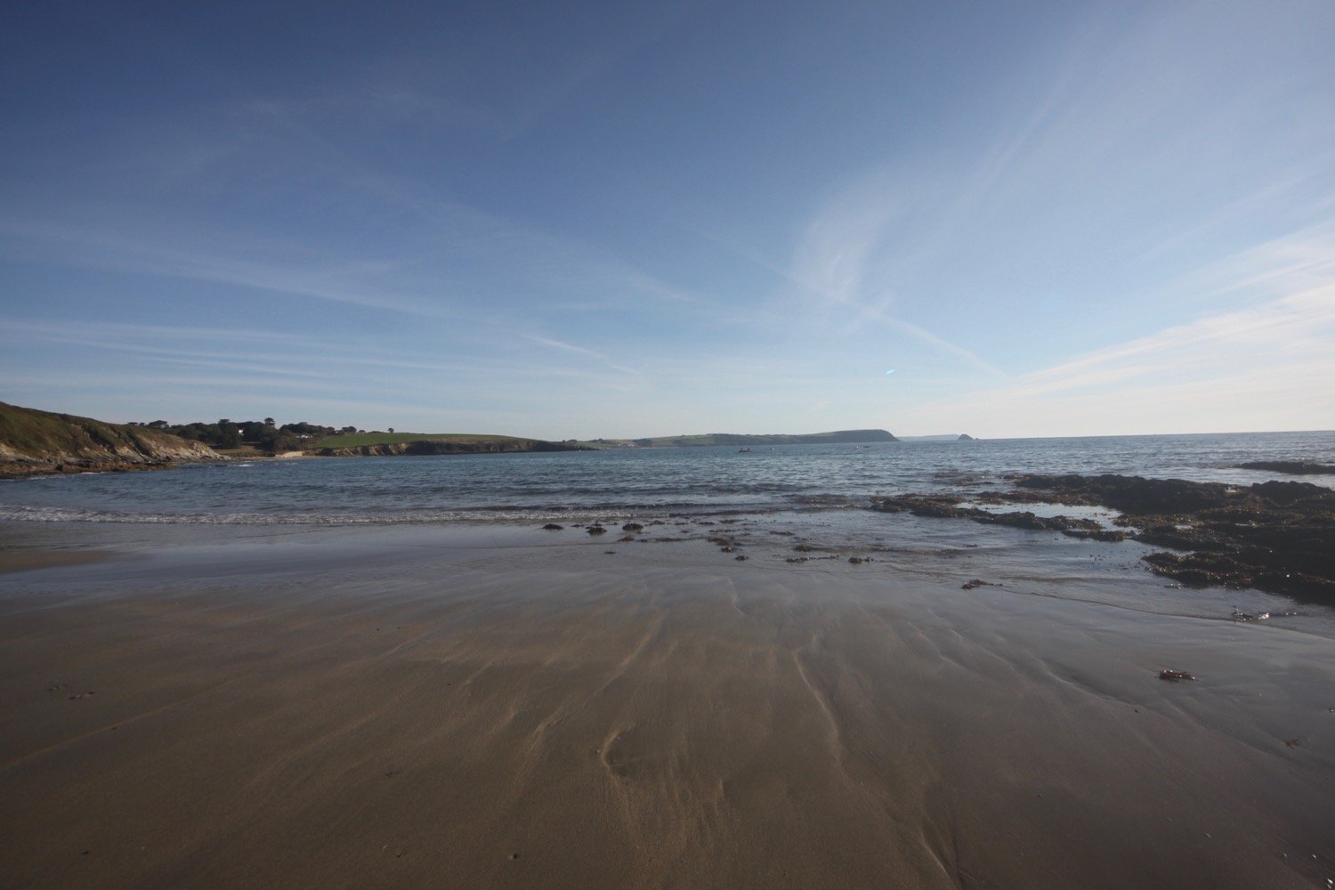
I head down to the beach and enjoy the early morning sun.
My grandfather used to love swimming in the sea here. One day he found a great big slab of wood on the beach here and took it back to my grandparents home in Offwell, Devon. We used to use the slab of wood as a cricket wicket whenever we visited so it became known as the Portscatho Wicket.
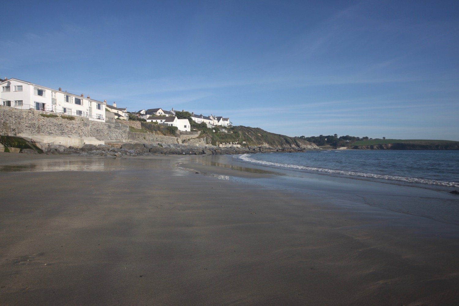
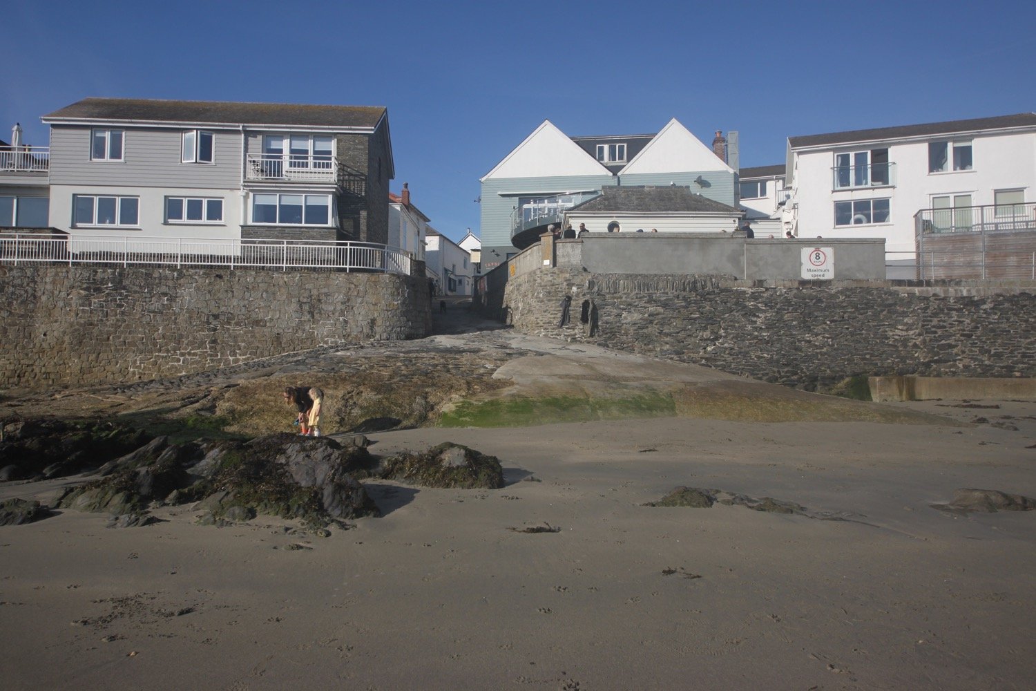
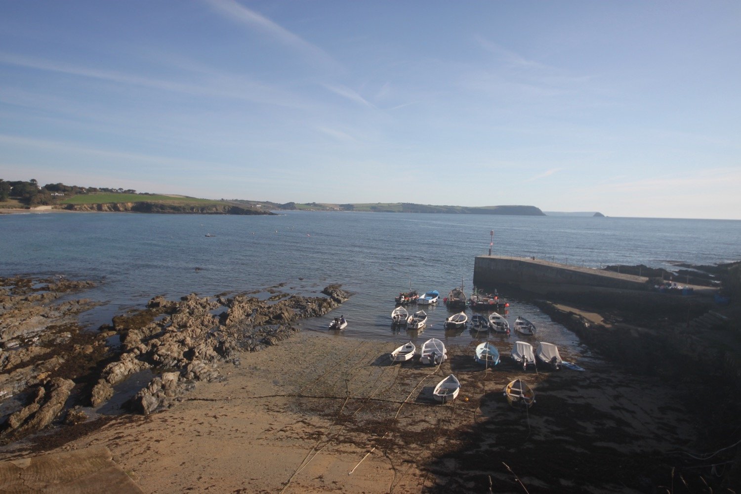
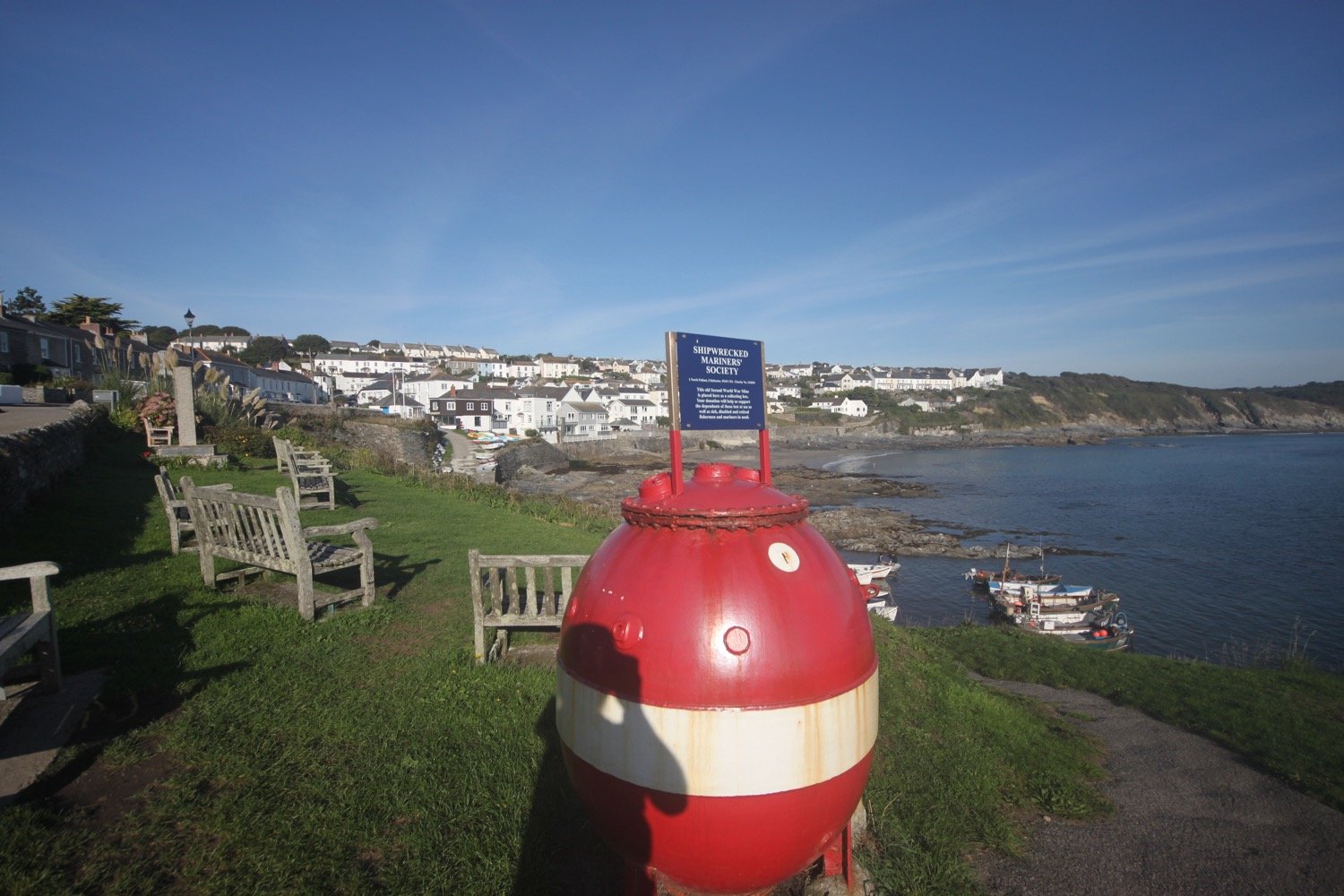
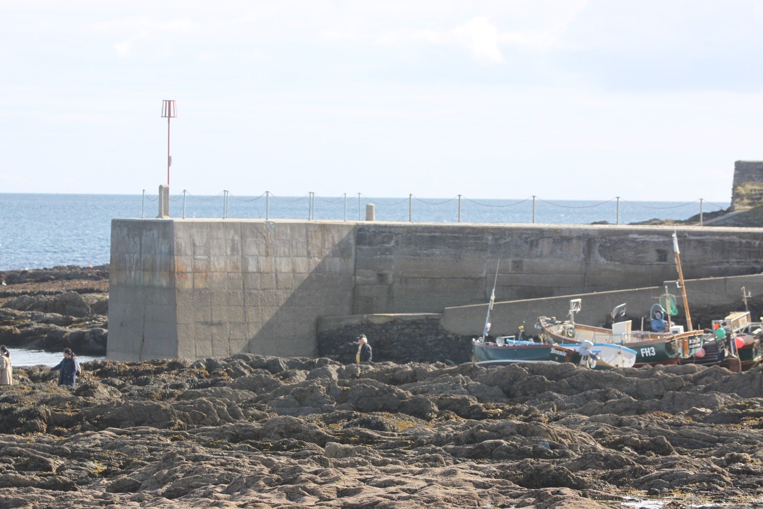
I leave the beach and wander around Portscatho, passing the tiny harbour, and then say goodbye to the village. It’s been seven years since I was last here and who knows how long it will be until I’m next here.
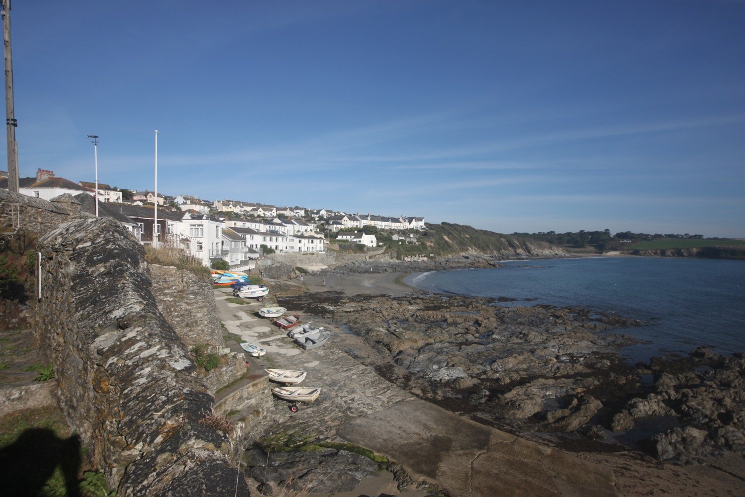
leaving portscatho
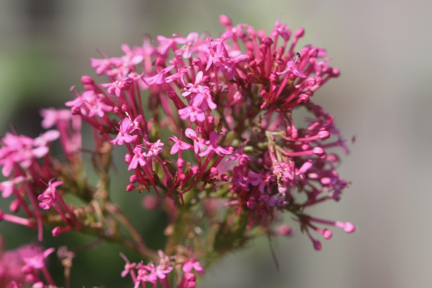
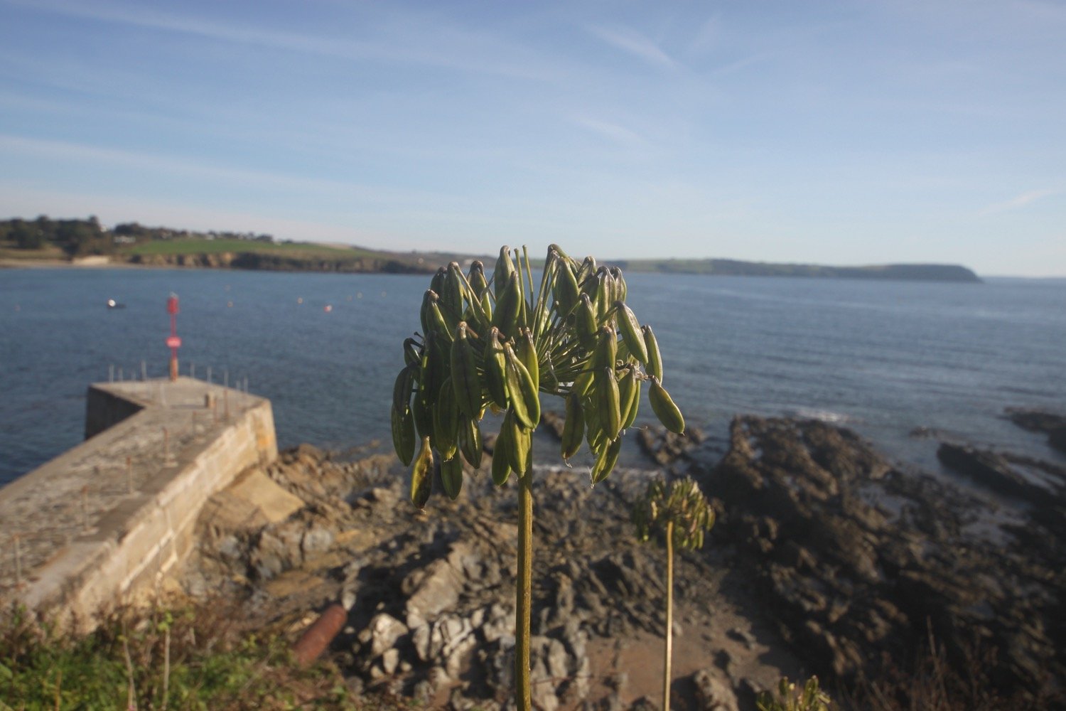
I amble along the gentle cliffs, enjoying the late season wild flowers. It is surprisingly hot and a lot warmer than I was expecting.

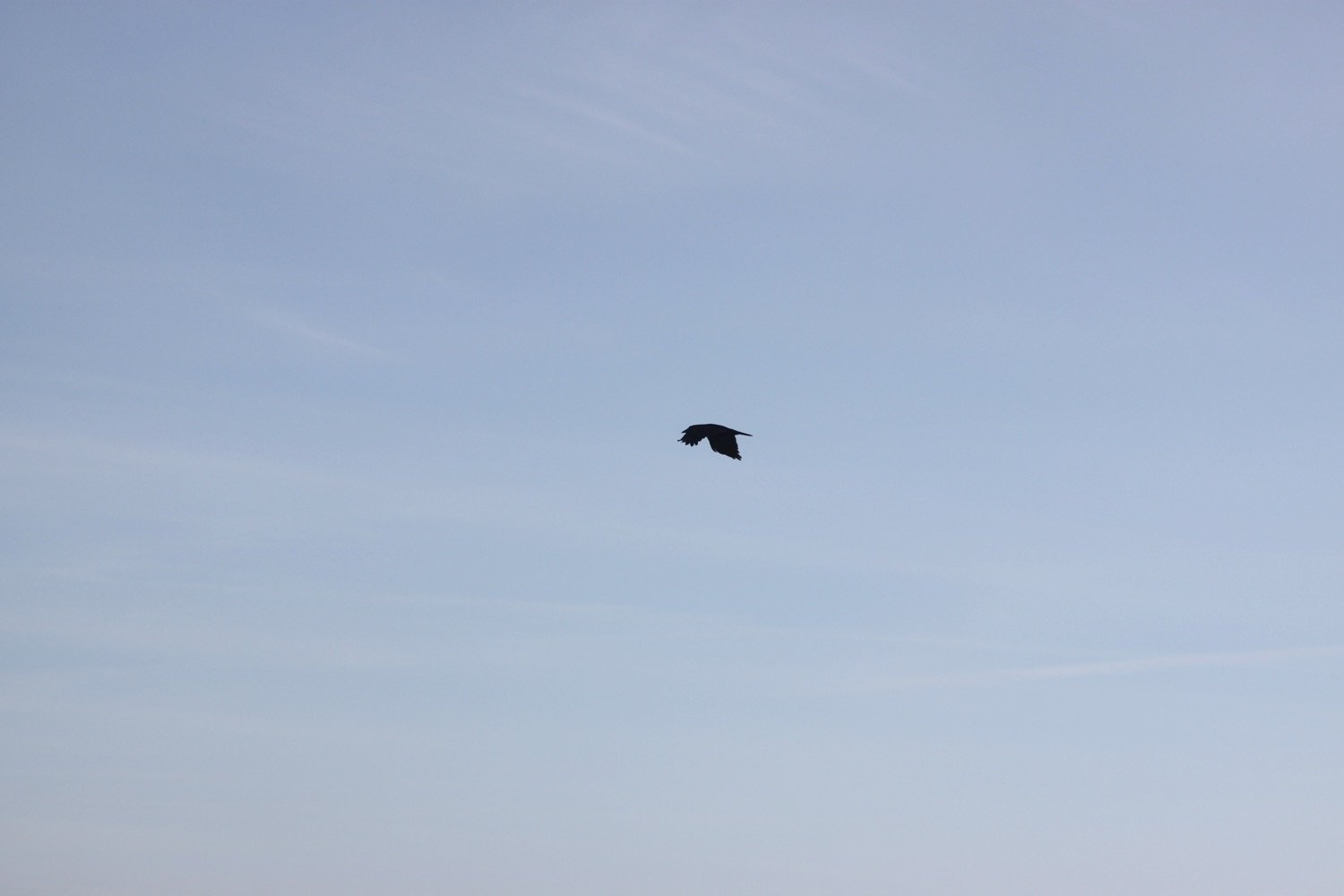
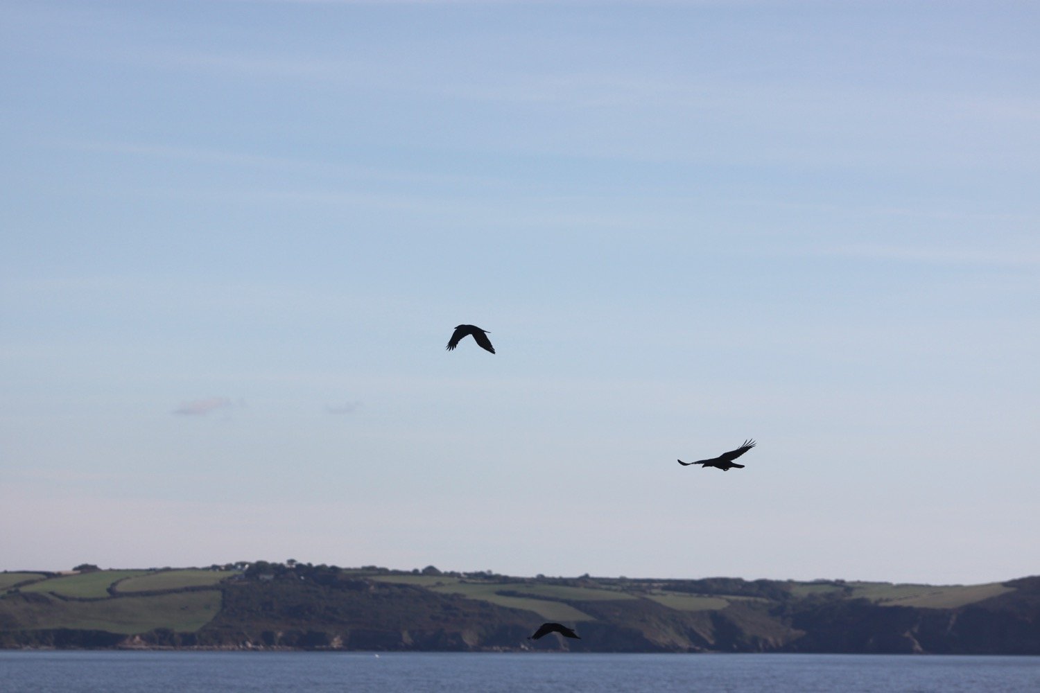
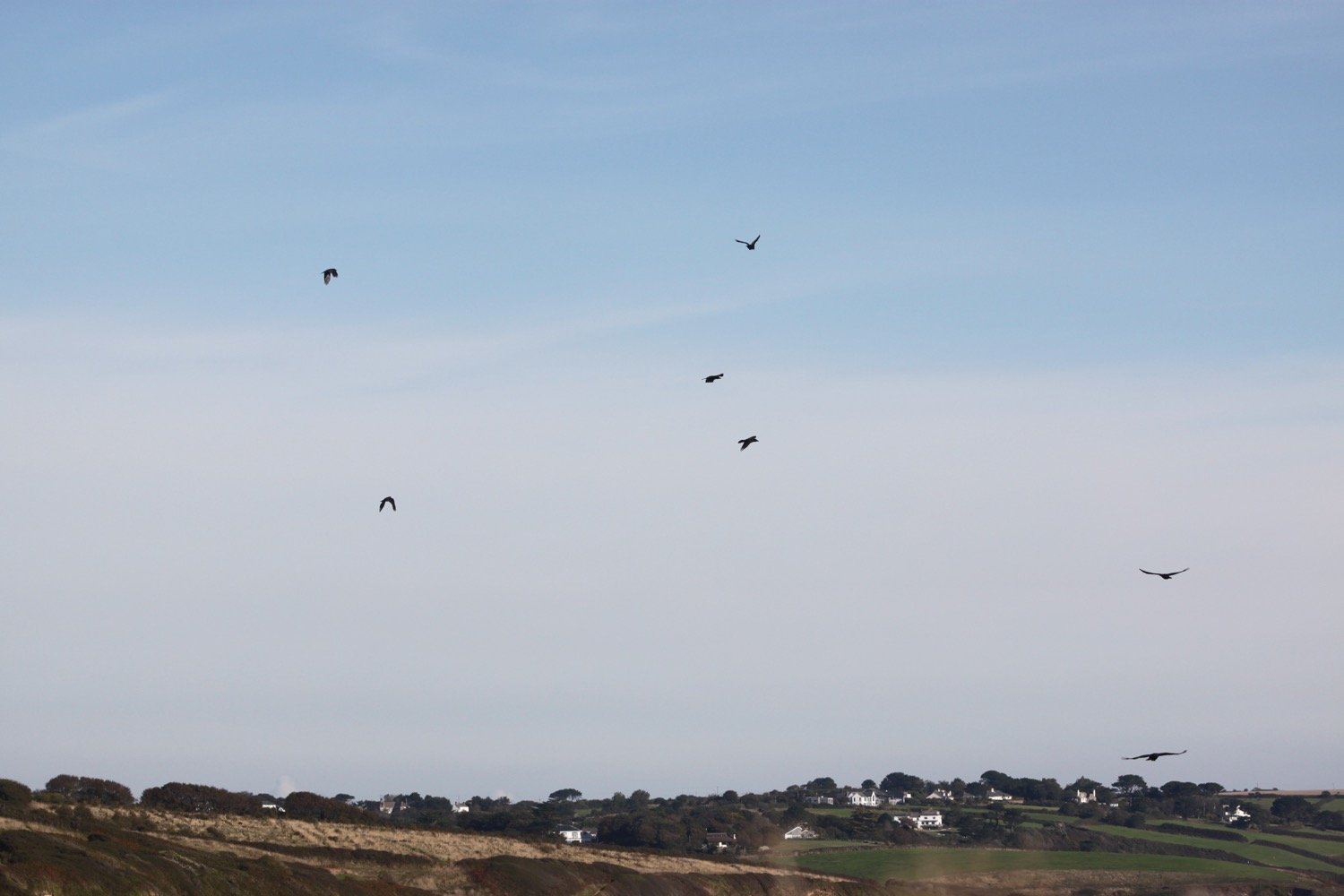
I’m ambling along quietly and suddenly here a familiar call. Several choughs fly over me. I can’t make out their red beaks but their call is unmistakeable. I’ve never seen choughs this far west before so they must be doing very well.
I spot a wall brown butterfly and manage to take a bad photograph. There are also clouded yellow butterflies flying around but they are much more difficult to photograph.
wall brown butterfly
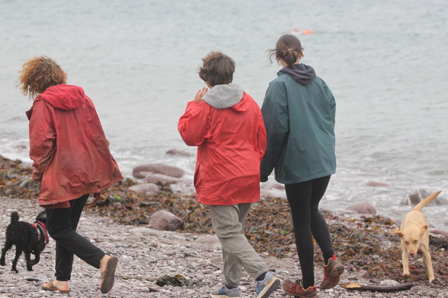
I continue ambling and say hello to several dog walkers while enjoying the wildflowers.
I continue towards Towan Beach where I come across a raggedy speckled wood butterfly.
speckled wood butterfly
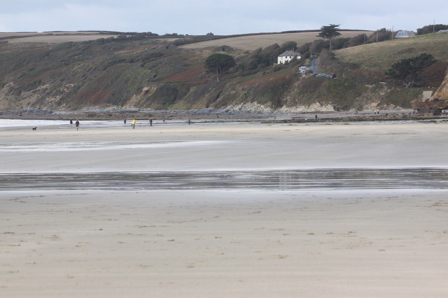
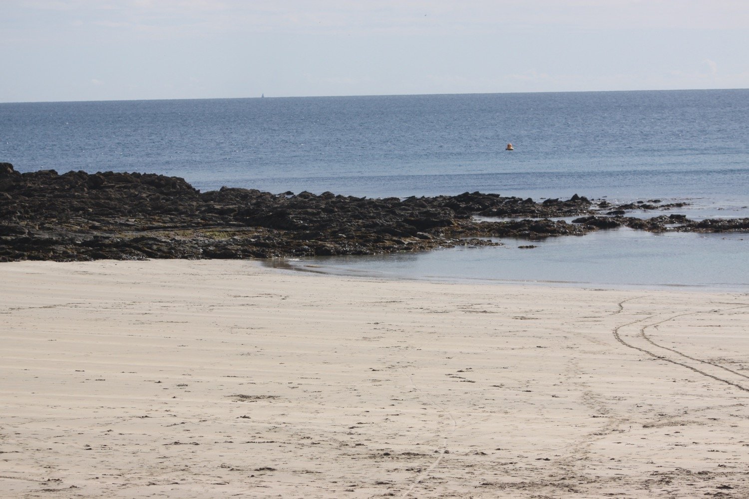
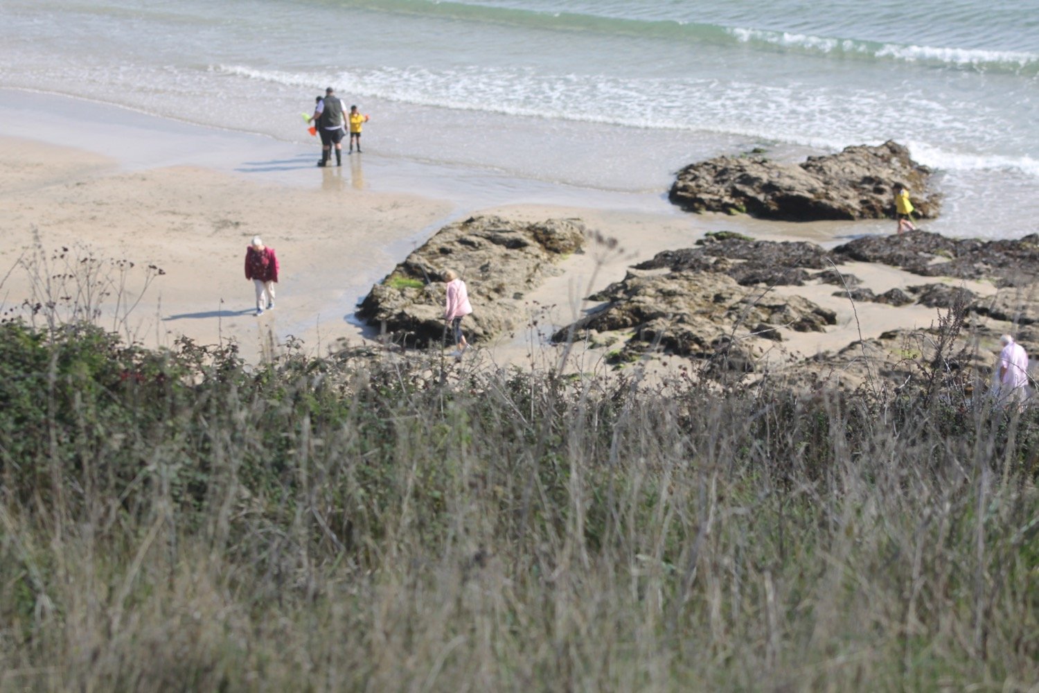
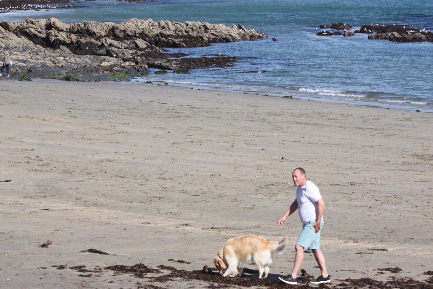
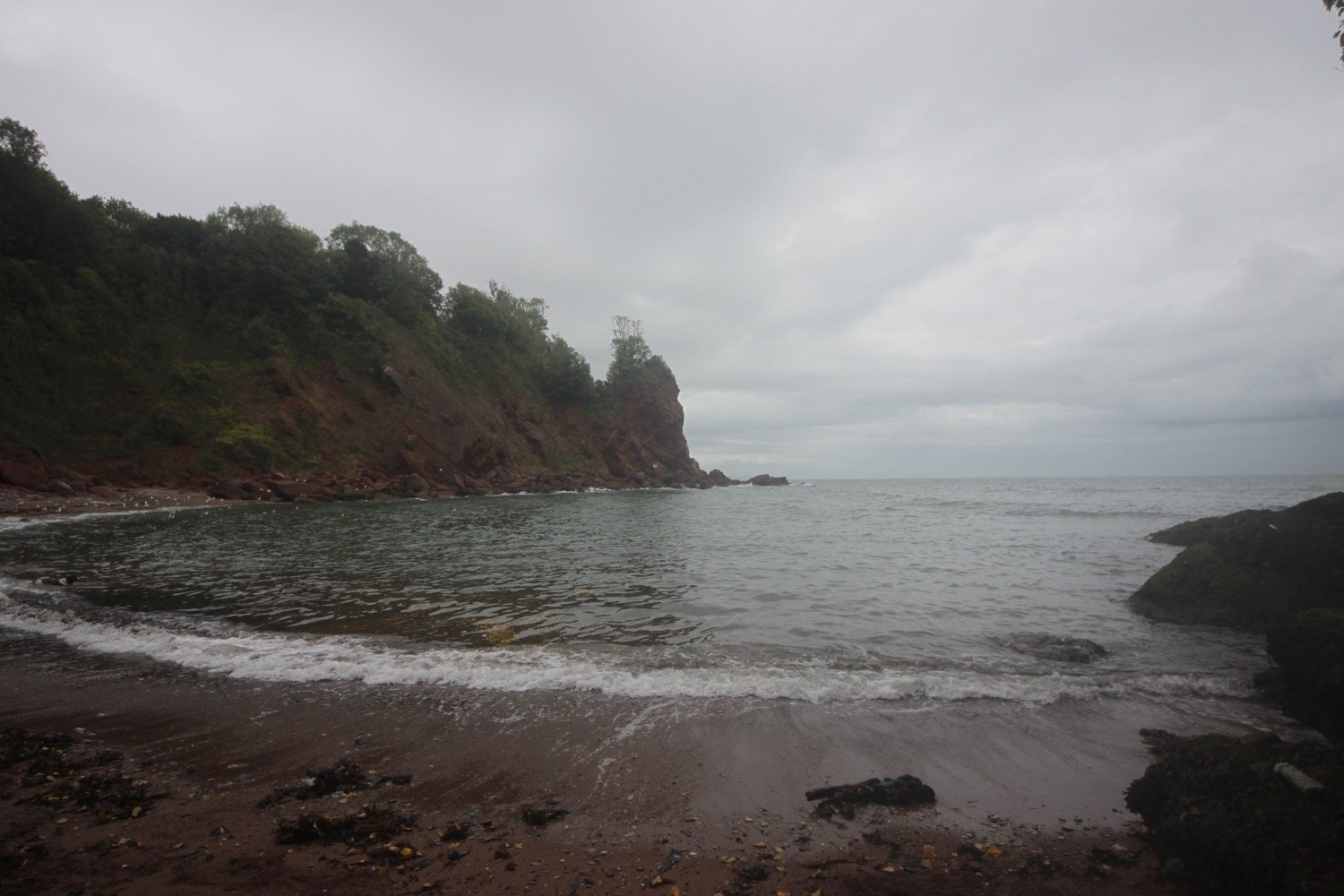
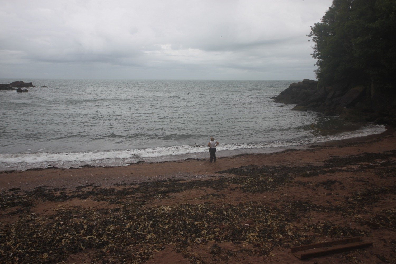
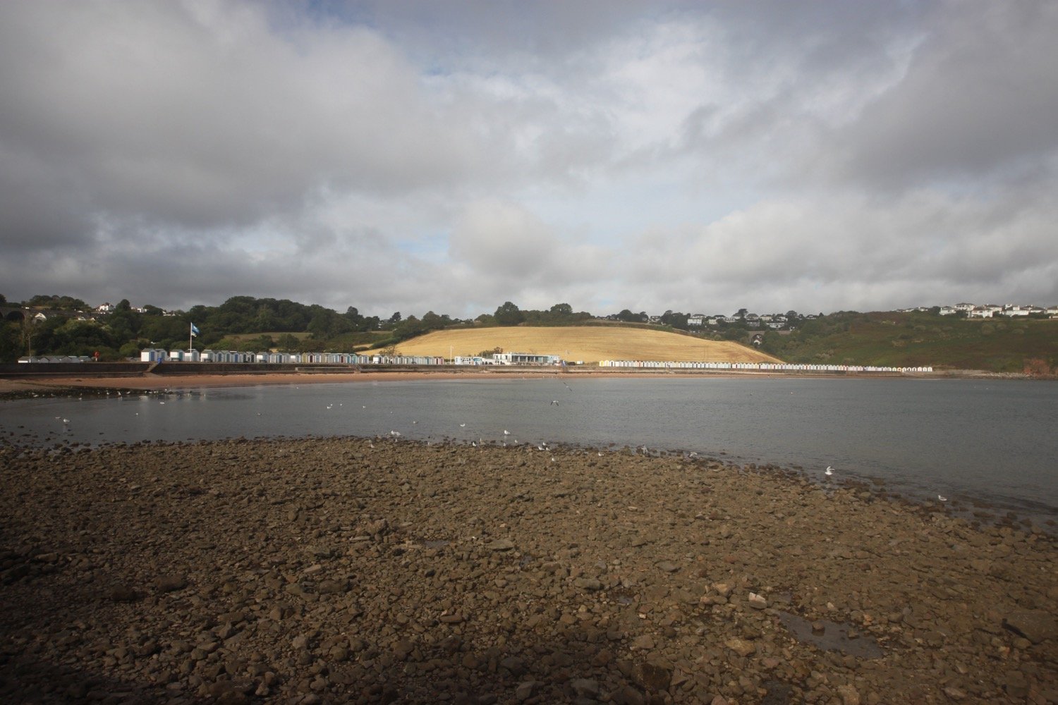
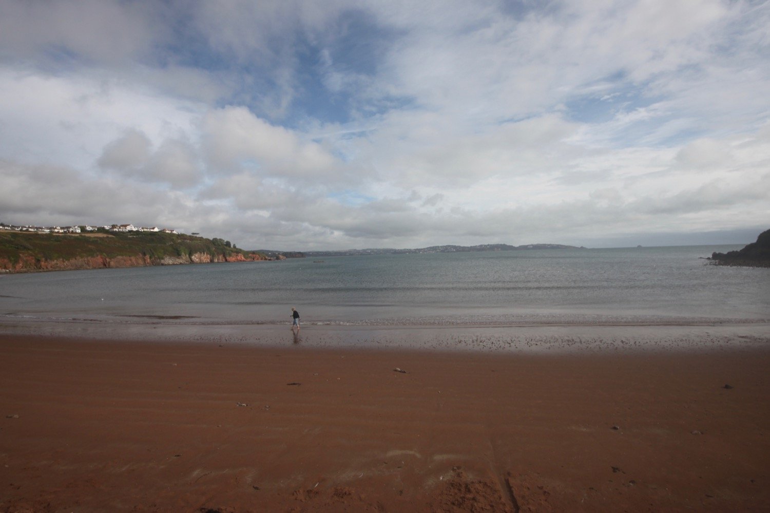
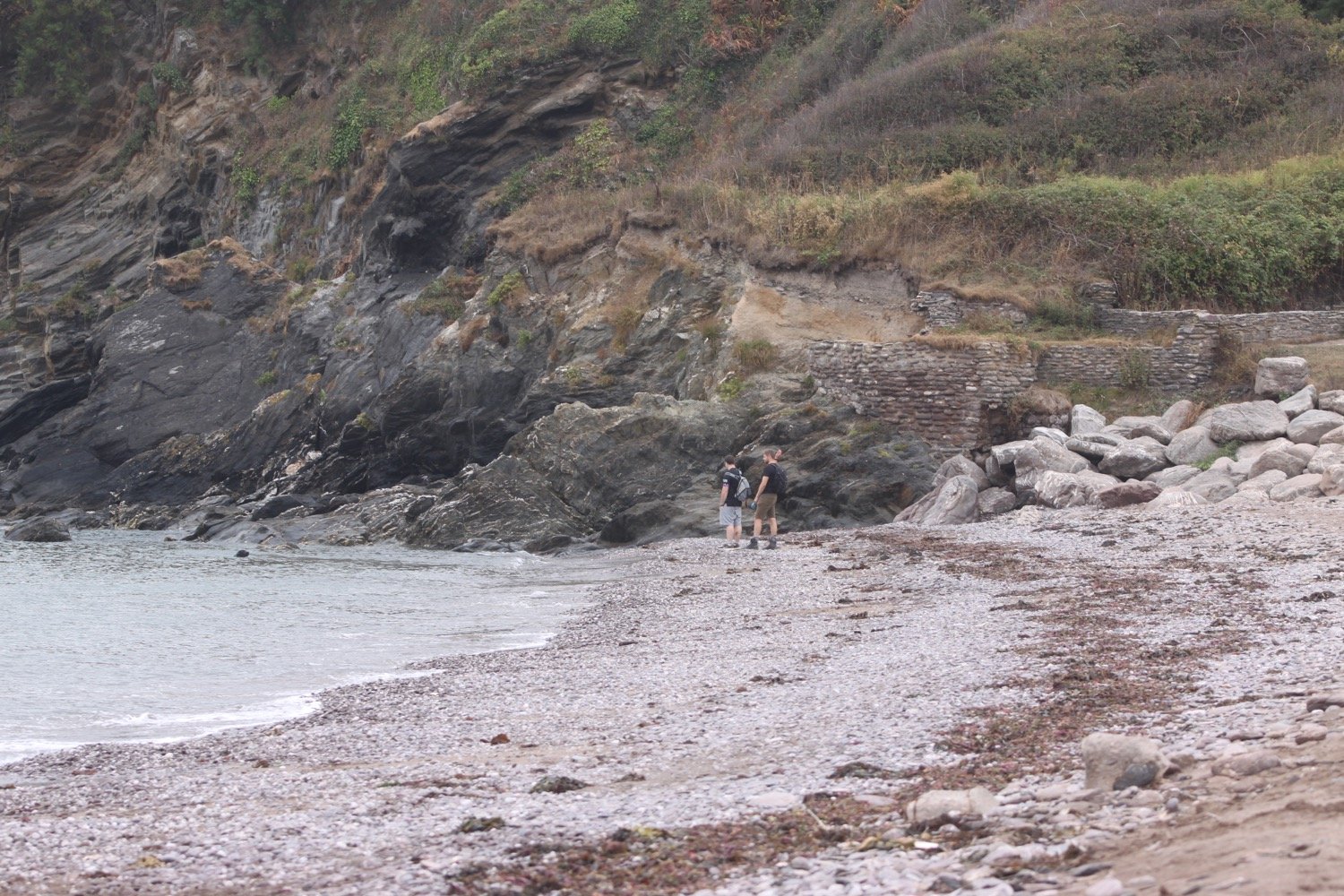
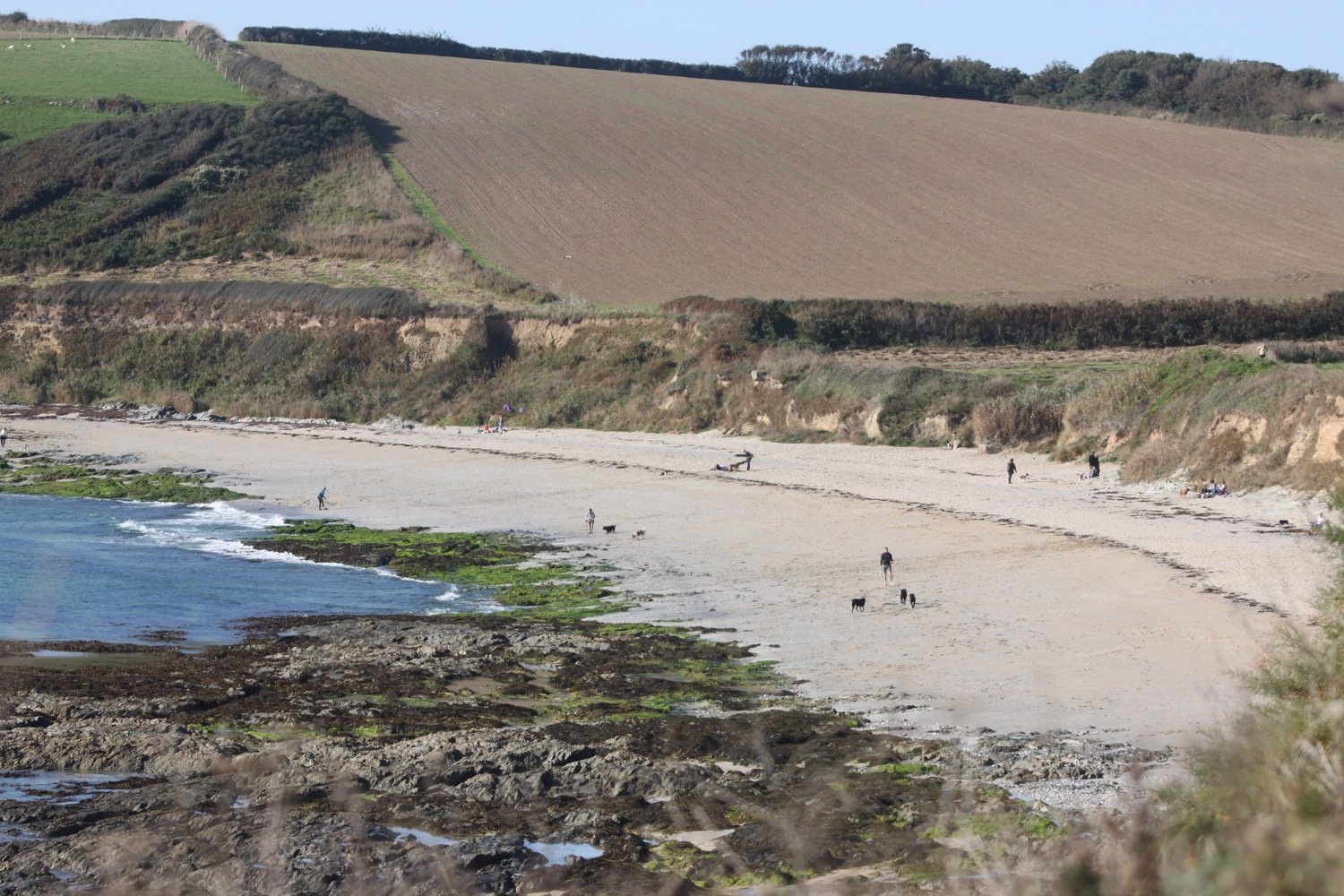
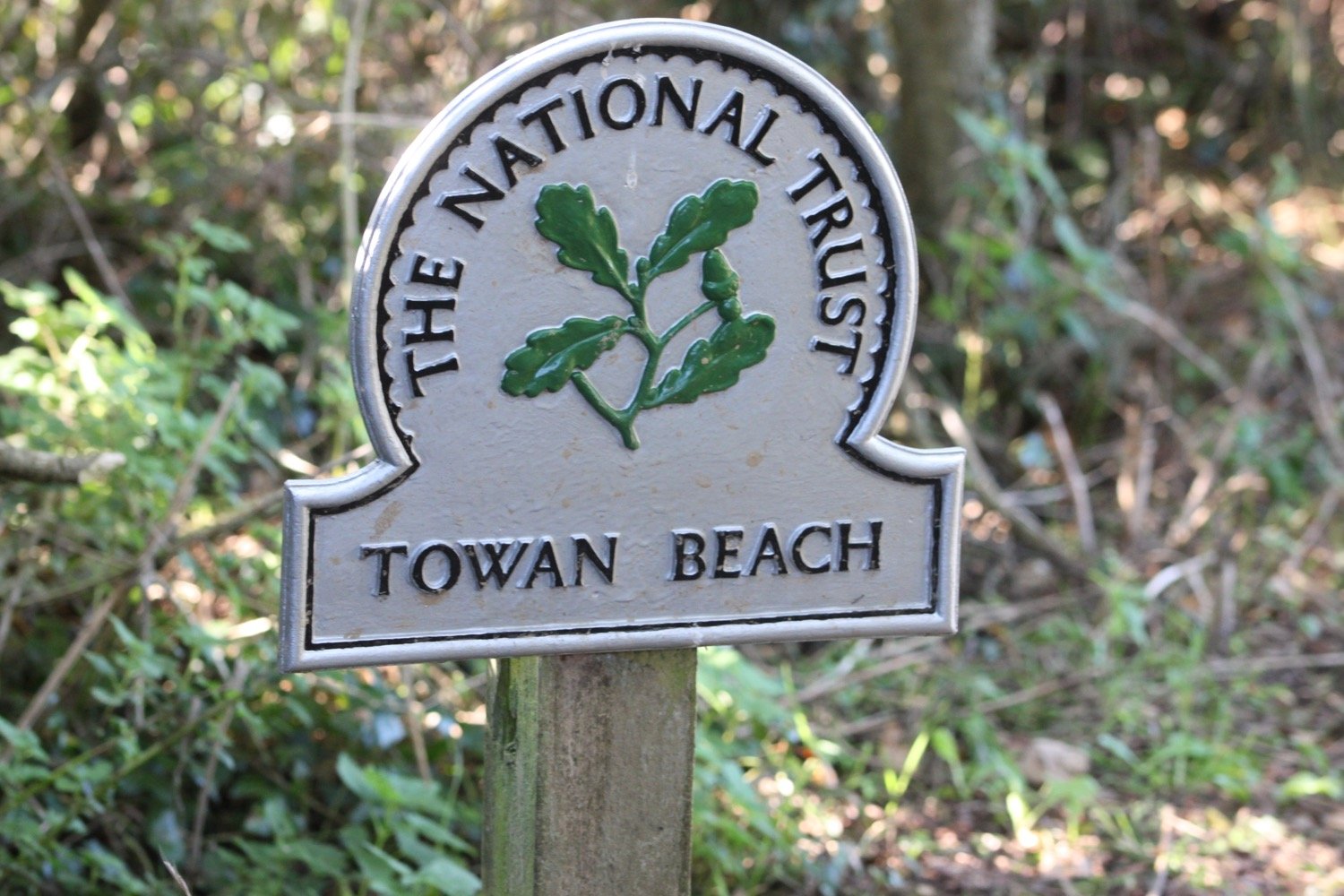
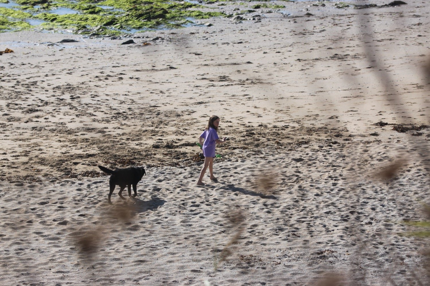
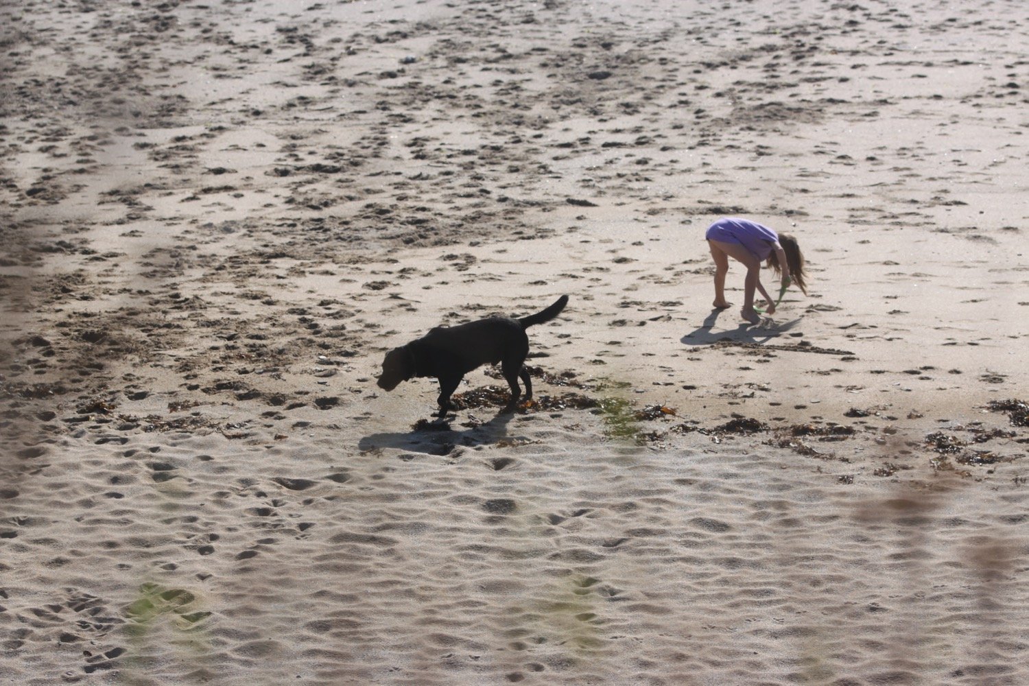
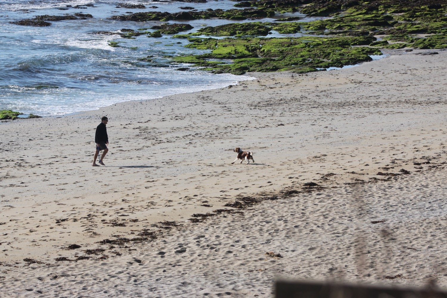
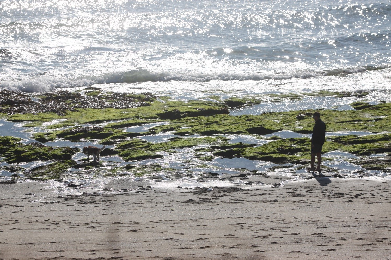
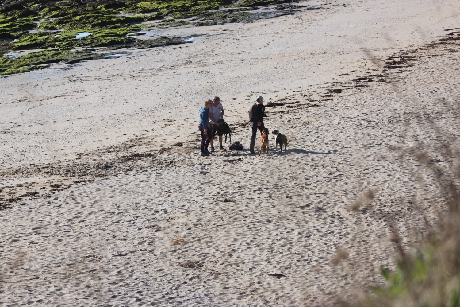
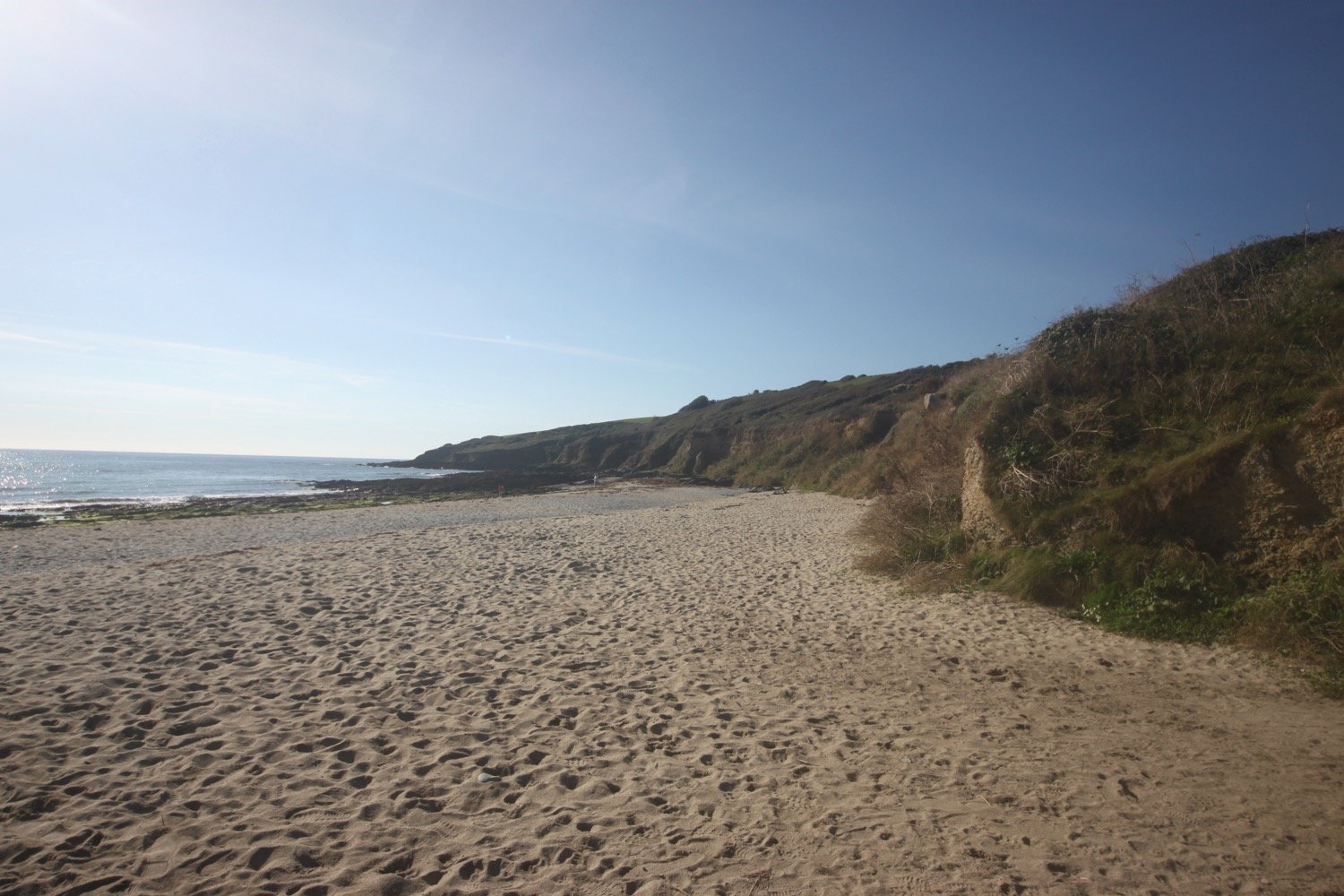
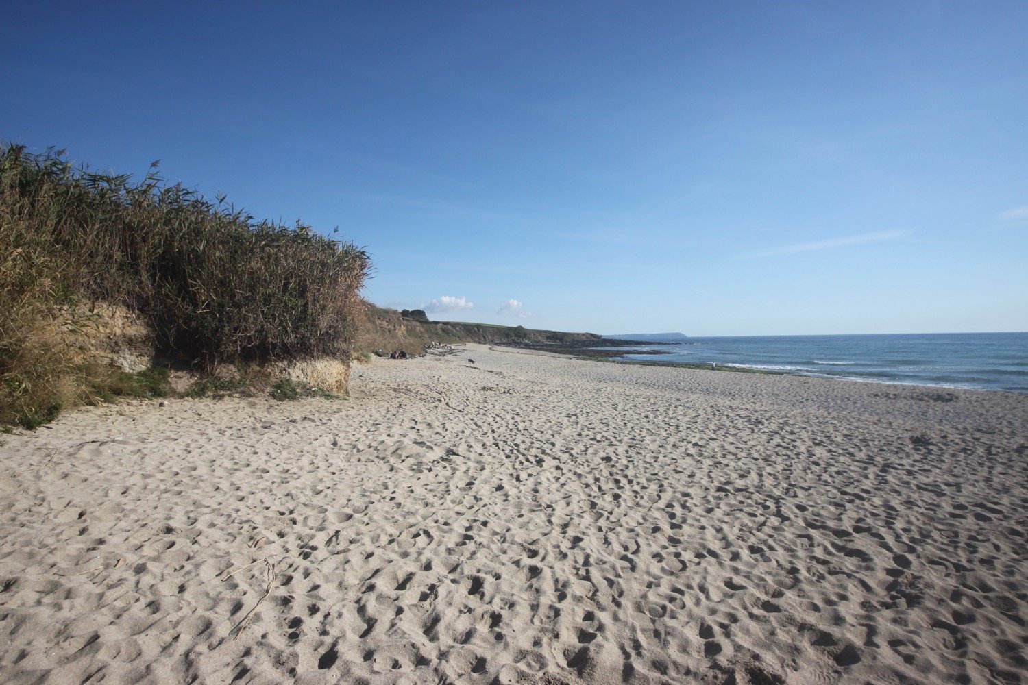
I reach Towan Beach where I enjoy the sandy beach along with several dog walkers.
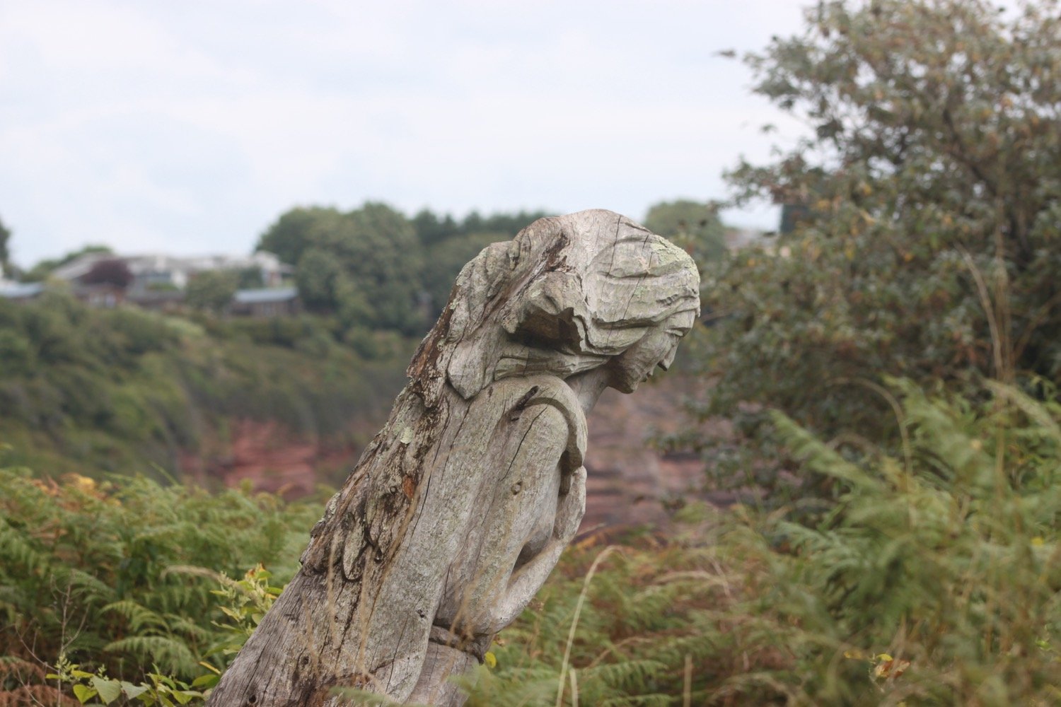
On leaving Towan Beach I come across the remains of a wreck post, erected by the coastguard service and used to simulate a ship's mast in training exercises. It was still complete the last time I was here but all that’s left now is a stump. I wonder what happened to it?
wreck post
It is a pleasant surprise to see another group of choughs fly over me.
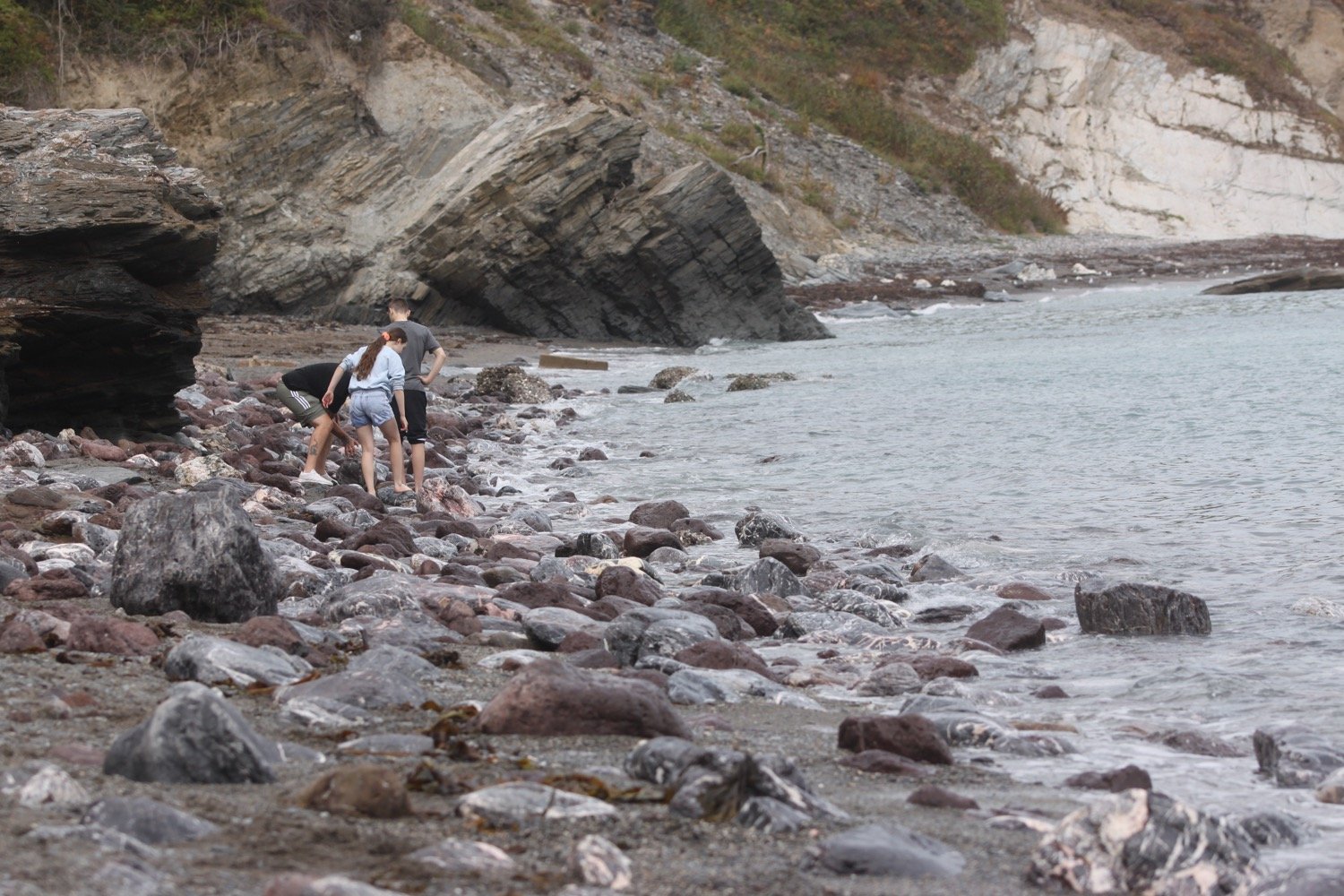
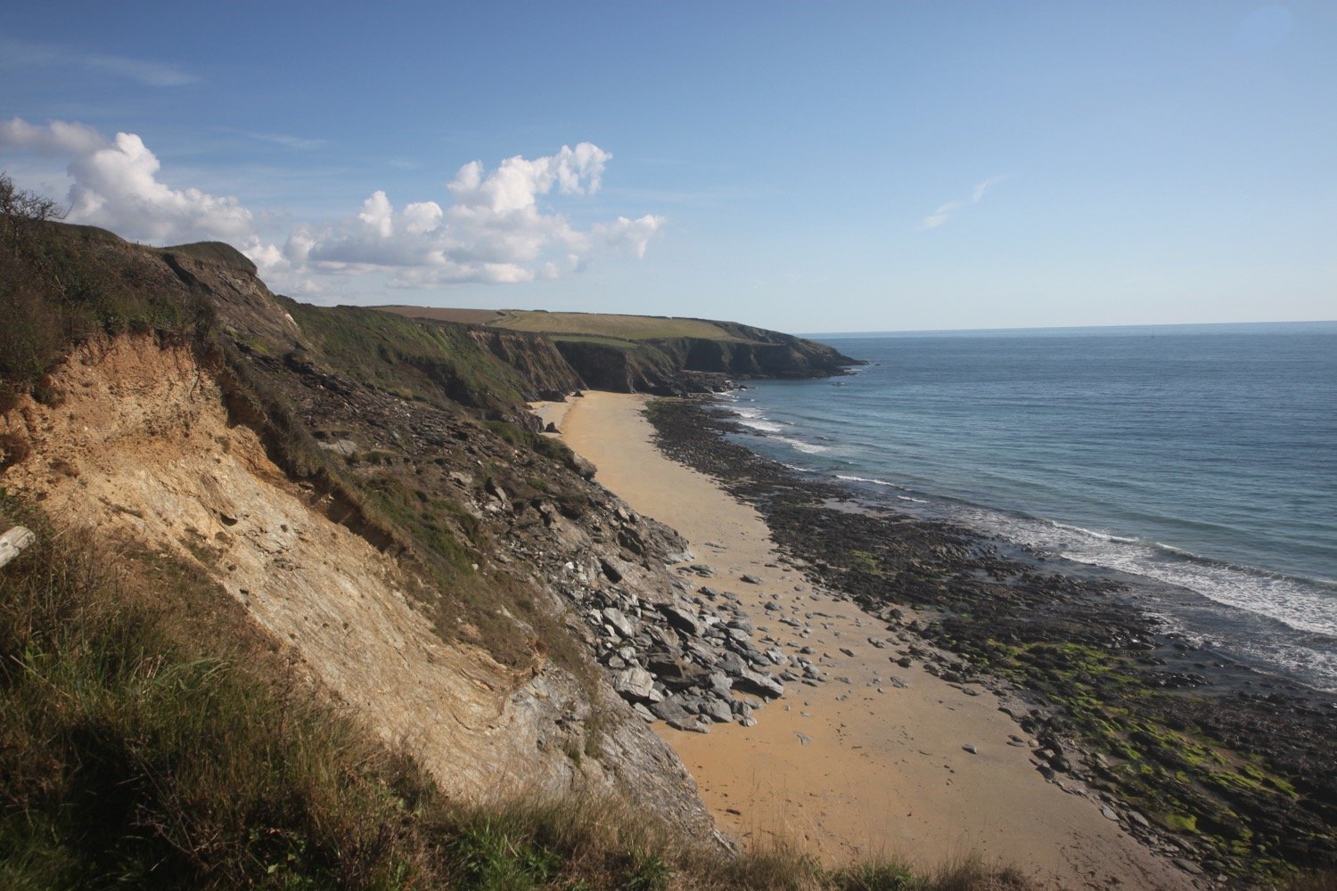
I round Killigerran Head and Porthmellin Head.
killigerran head
killigerran head
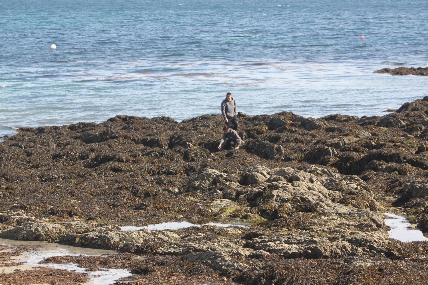
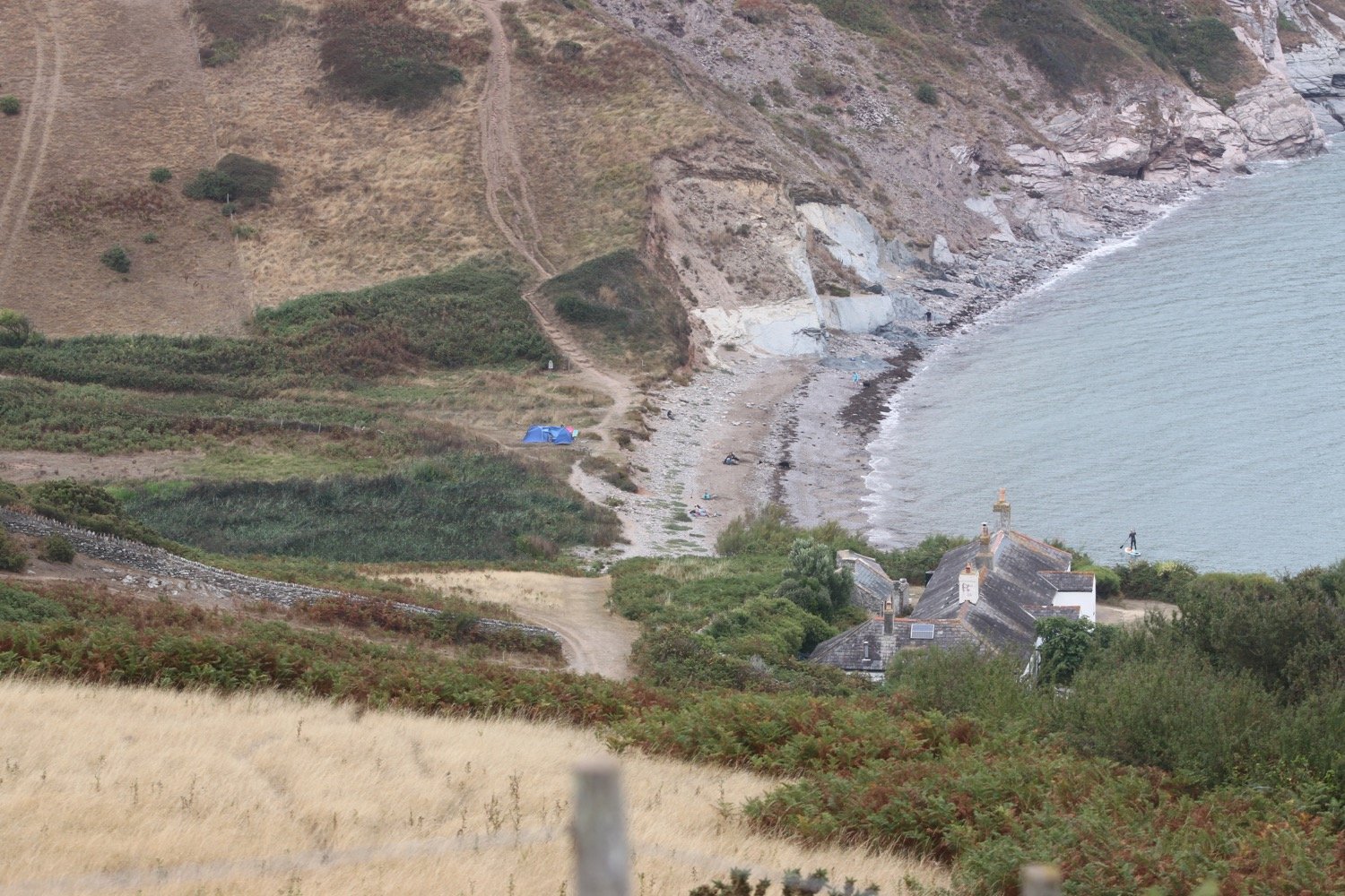
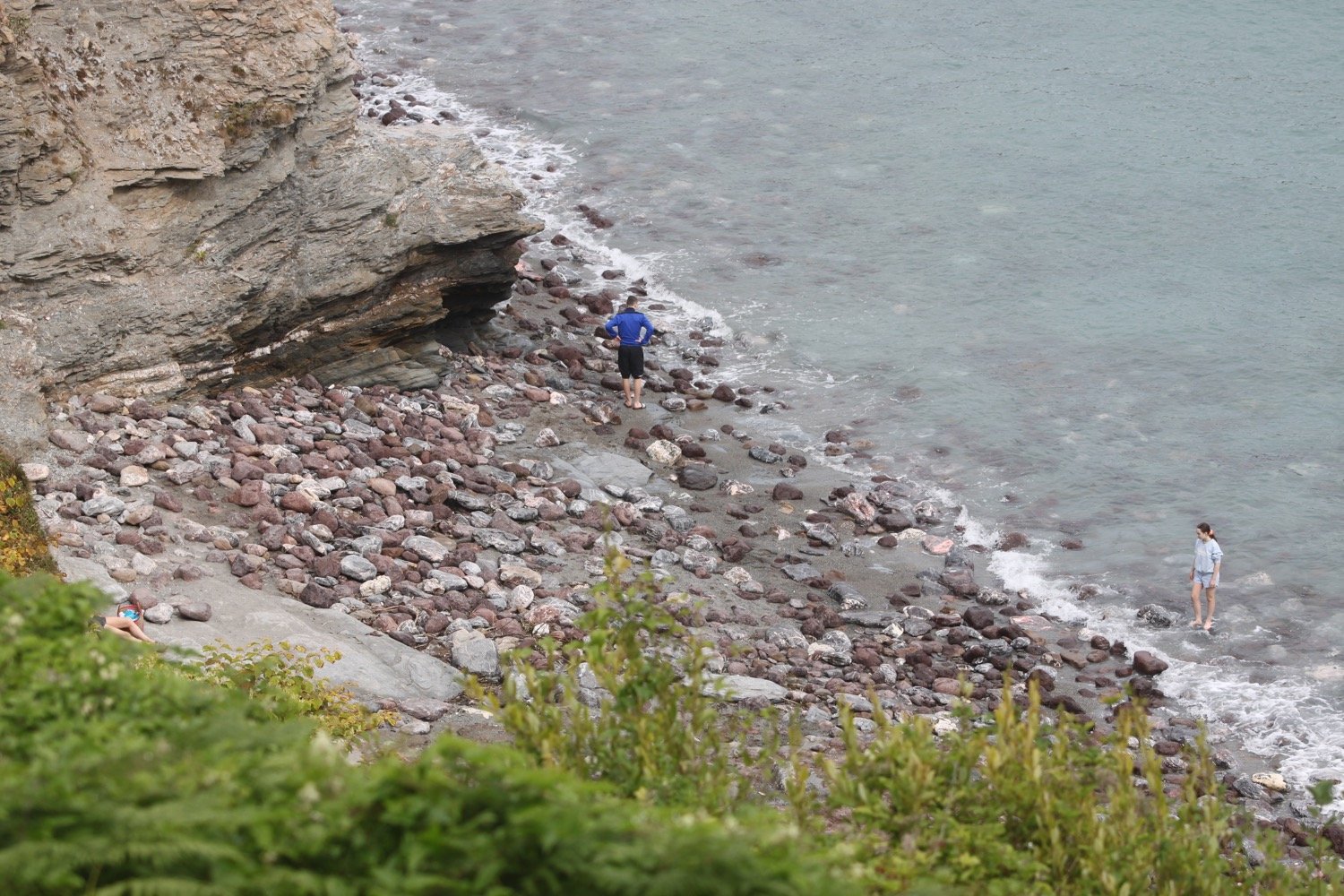
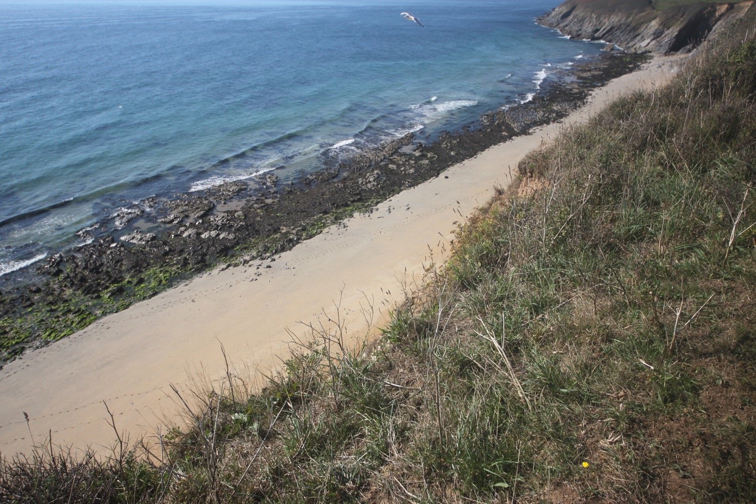
I continue along the path above Porthbeor Beach. I thought that Porthbeor Beach was supposed to be inaccessible but, tantalisingly, I think I can make out footprints in the sand.
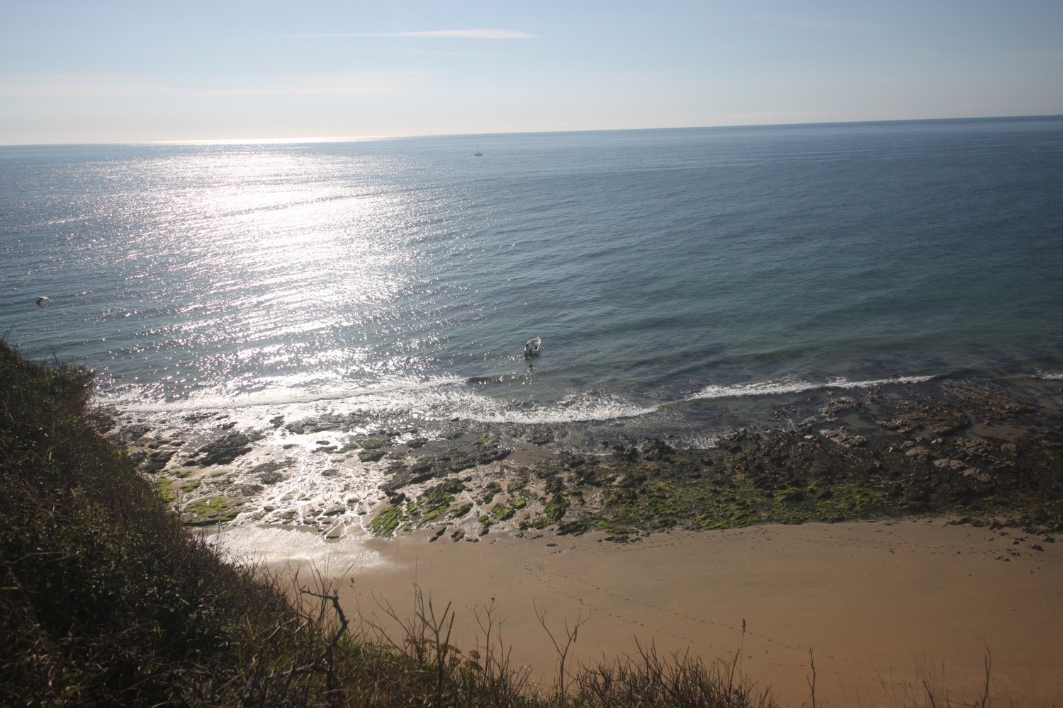
The mystery is solved as further along the path I spot people leaving the beach and climbing aboard a boat.
I now have some lovely views over to Falmouth.
view to falmouth
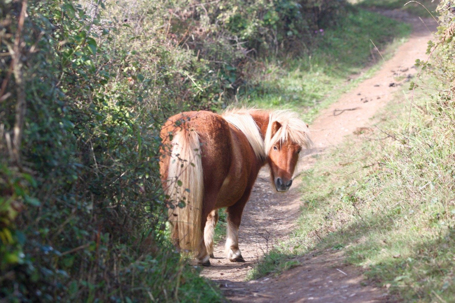
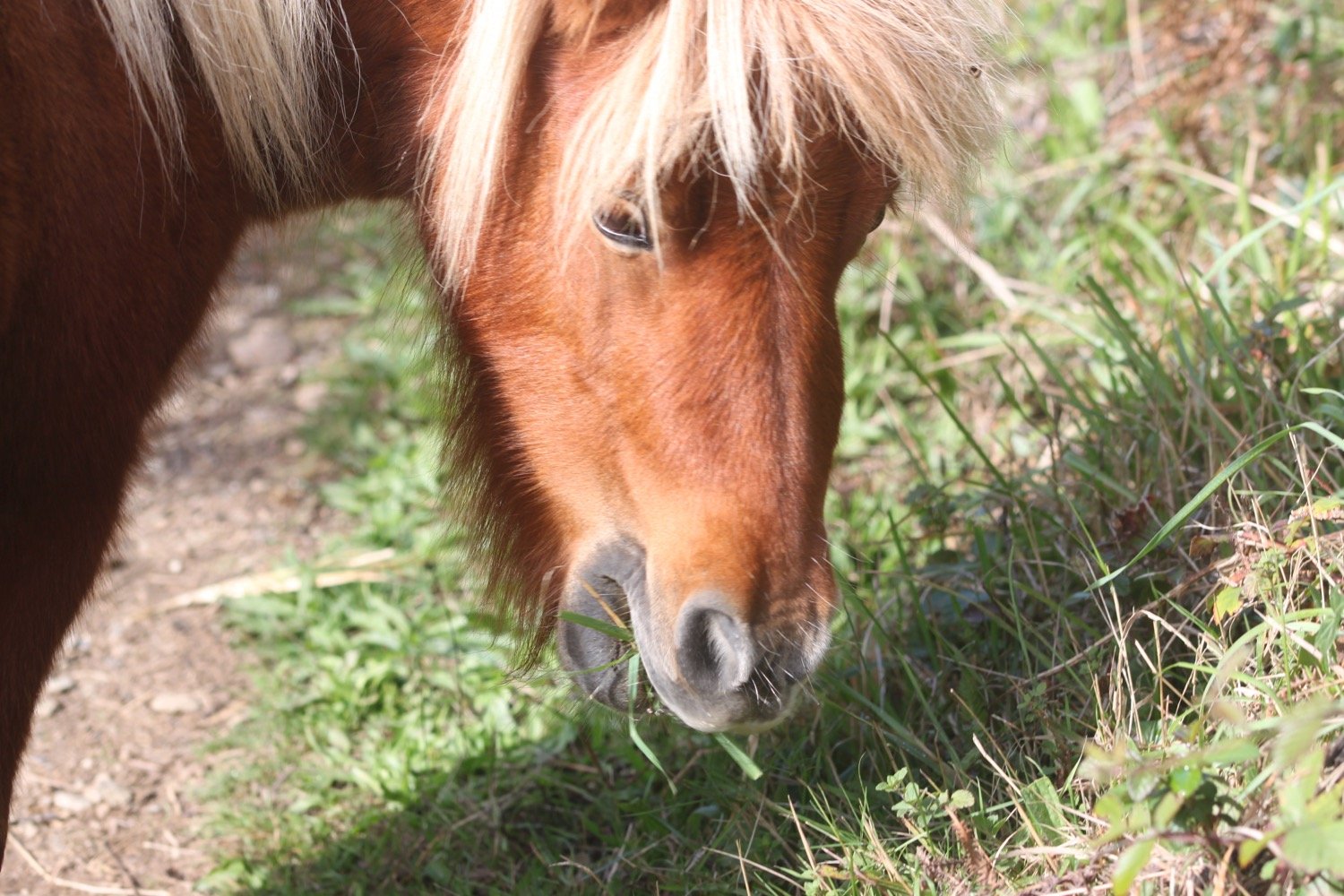
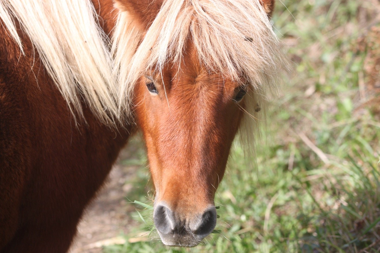
I’m now at St Anthony Head and walk through St Anthony Meadow where I come across Shetland ponies grazing on the vegetation.
st anthony head
shetland ponies
shetland ponies
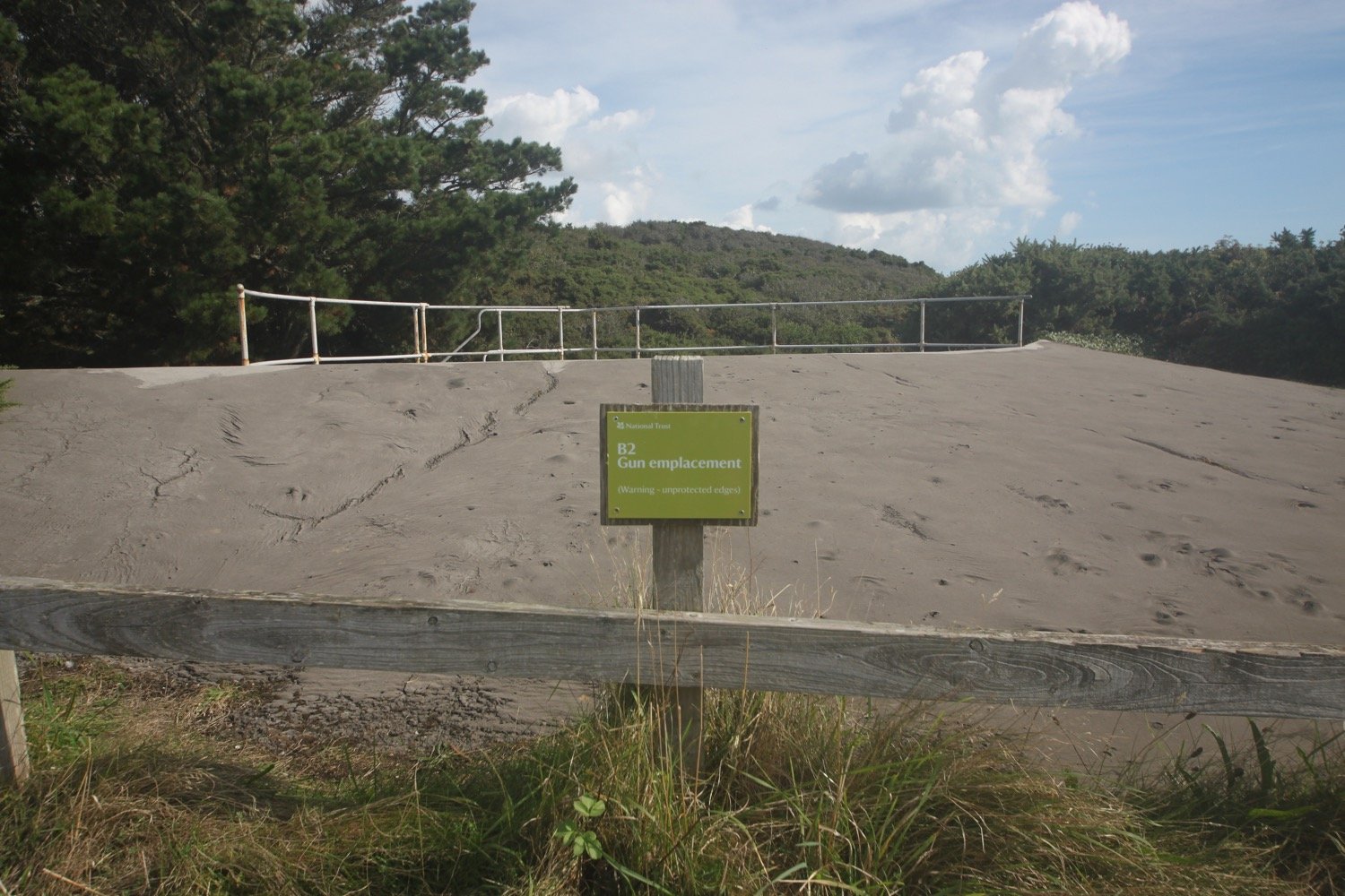
I round Zone Point and pass the 19th century battery on St Anthony Head and then head down towards St Anthony's lighthouse, built in 1835.


I follow signs behind the lighthouse before getting an actual glimpse of the lighthouse further on.
st anthony’s lighthouse
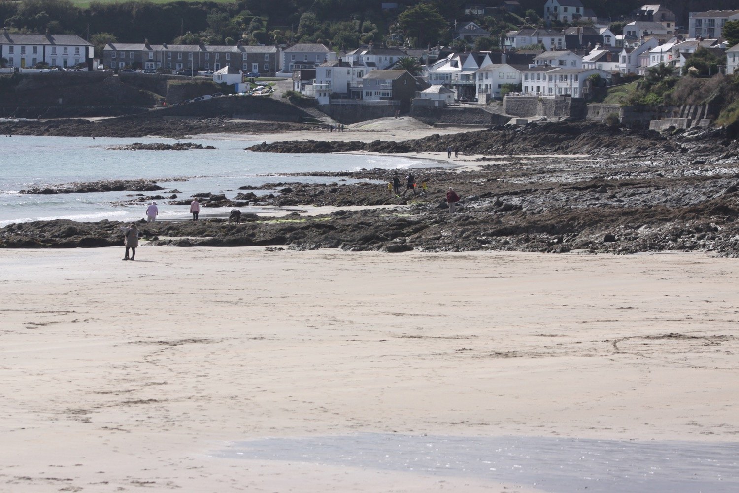
After leaving the lighthouse I have magnificent views over to St Mawes and Falmouth in the distance.
view over st mawes
I head through woods to reach some beehives where the bees are very active.
beehives
I pass through the churchyard of St Anthony's Church and then pass the rather modest Place House.
st anthony’s church
place house
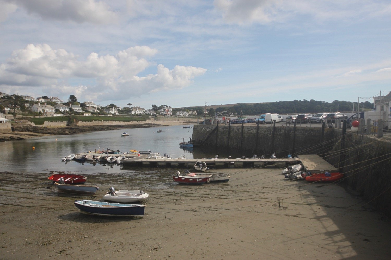
I’ve now reached the Place Ferry. I glance at my phone and it’s 12:14. There’s supposed to be a ferry at 12:15. I’m bang on low tide and there’s no sign of a ferry so maybe it’s not running for a while.
Suddenly people start to ascend Toddy's Steps in front of me. Once they are past I descend the steps and notice the ferry further along the beach. The ferry is just about to leave but the ferryman calls out to me so I slither along the slippery beach and board the ferry, just in time.
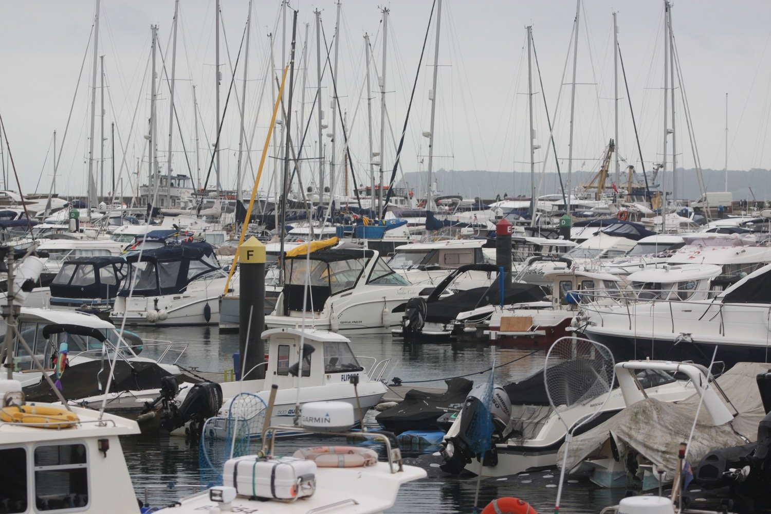
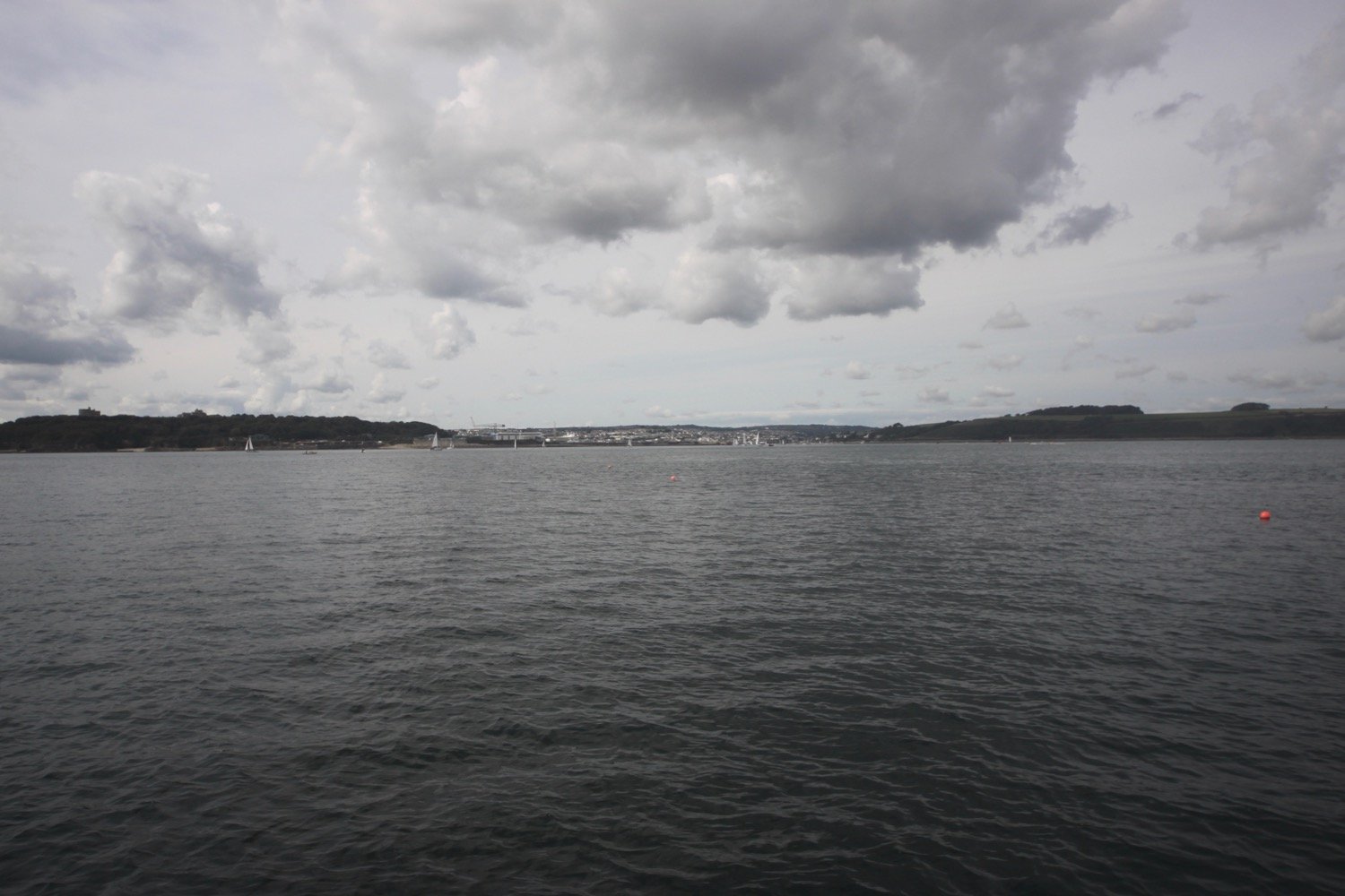
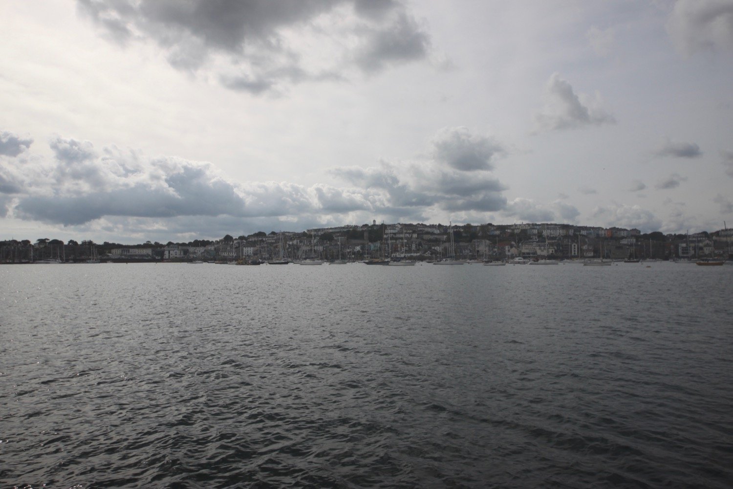
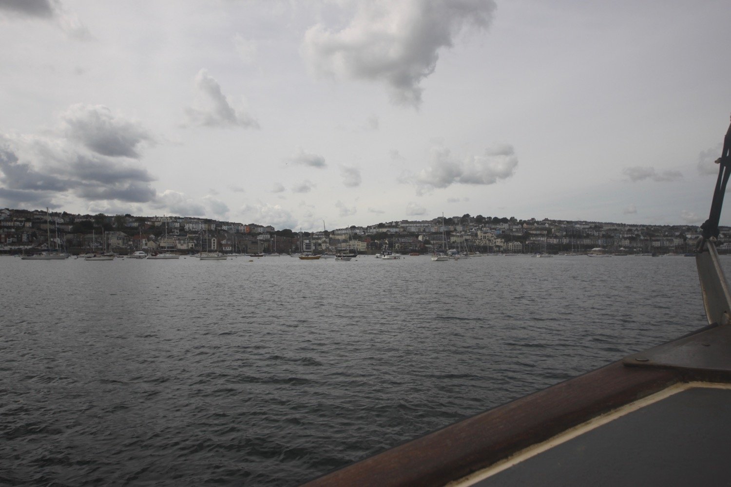
The ferry takes me over to St Mawes and it has moved with the times and I’m able to buy a combined ticket to St Mawes and then on to Falmouth for £13.50 using a contactless machine. It's a thoroughly pleasant 5 minute trip.
I leave the ferry and then wait for the connecting ferry to take me back to Falmouth.
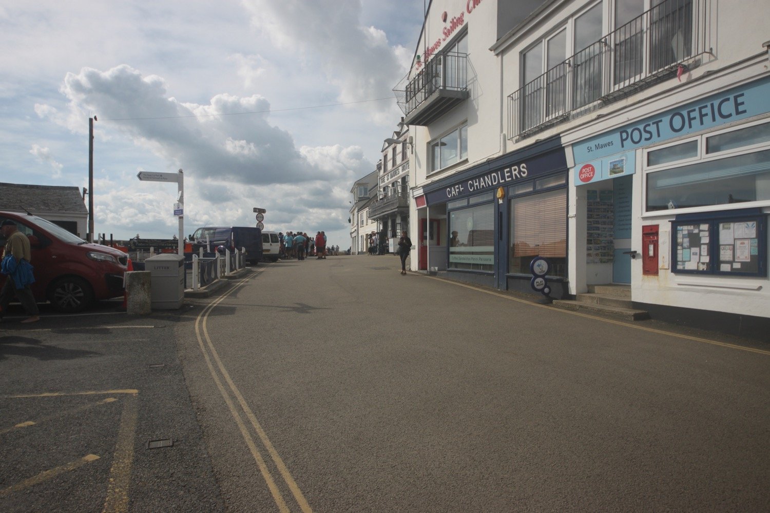
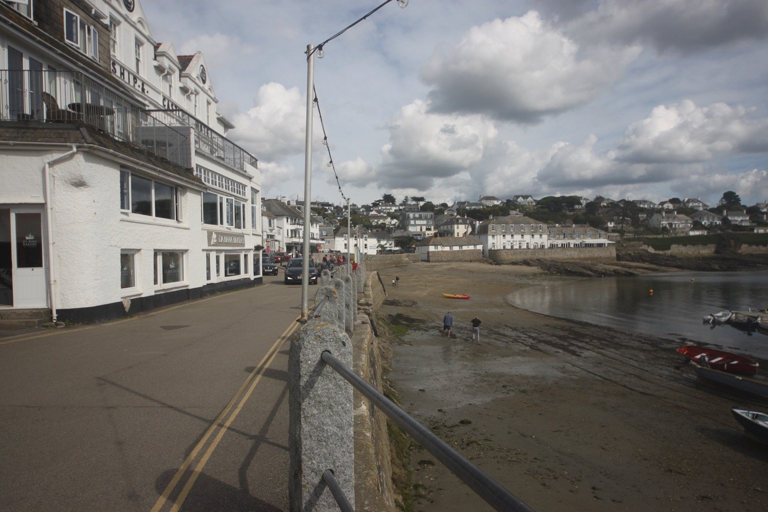

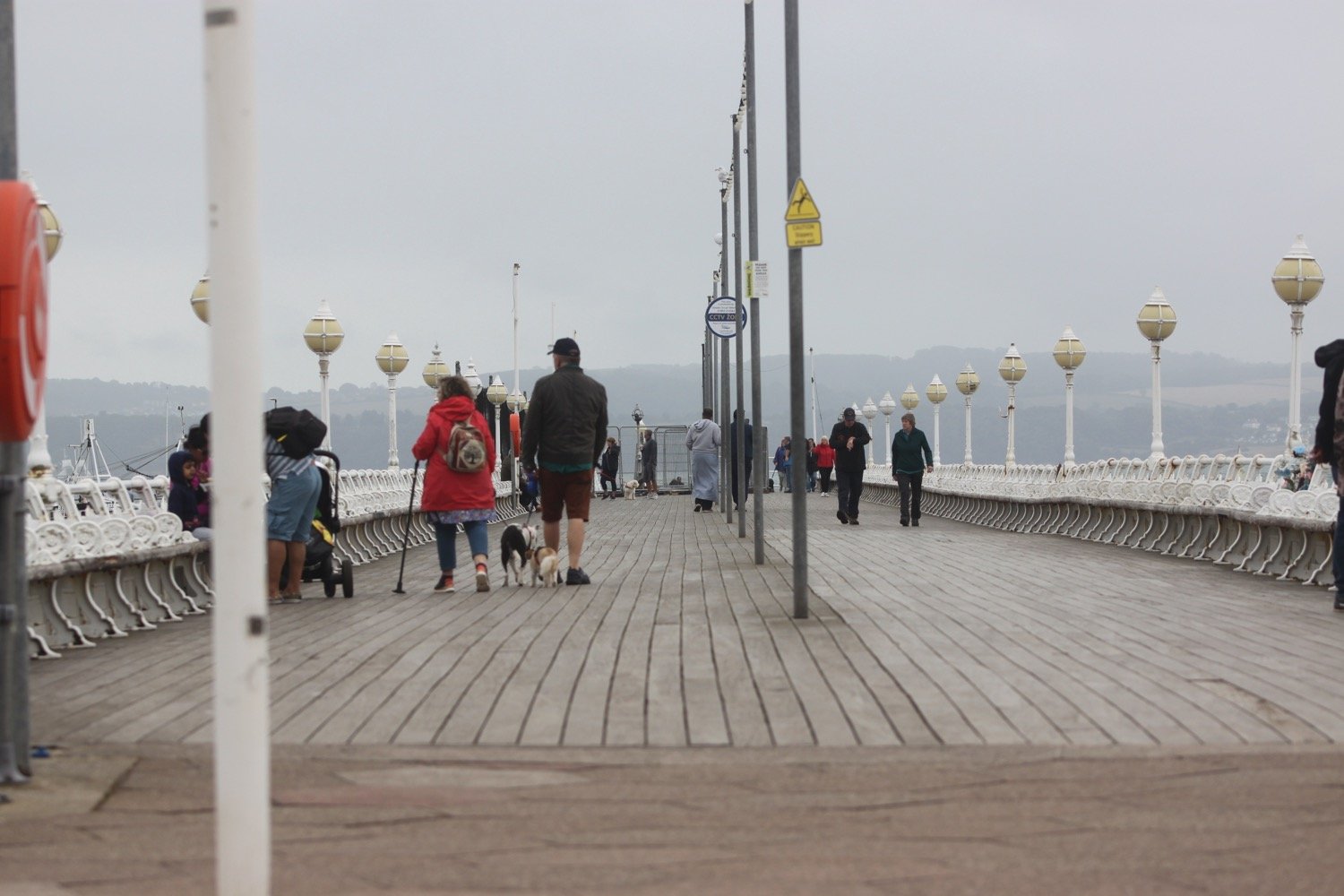
I catch the 12:45 ferry and it's now a pleasant 15 minutes or so journey to my destination for the day, Prince of Wales Pier in Falmouth.
It's now a short walk up through the busy streets of Falmouth to return to our cottage, Bussillion, for the week, overlooking Falmouth harbour.
My knees and ankles have been playing up all year, although they’ve been OK on the short walks this week, so it might be time to think about hanging up the walking boots. If so this is a fitting end as I started walking the south west coast path in Falmouth seventeen years ago. It has been a great few years.
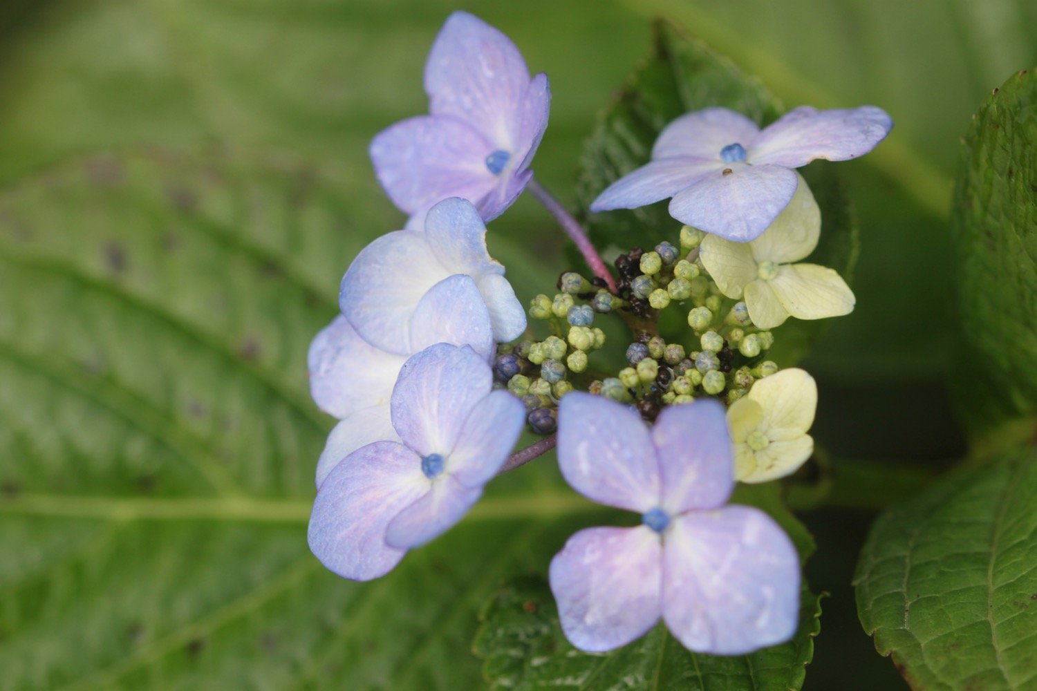
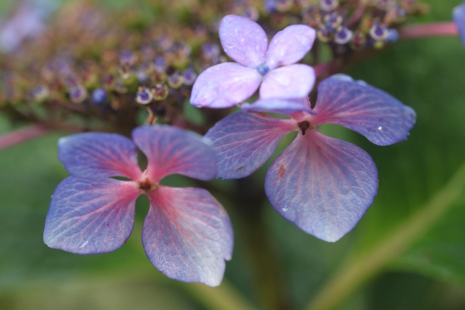
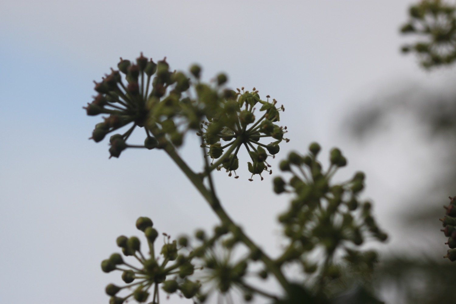
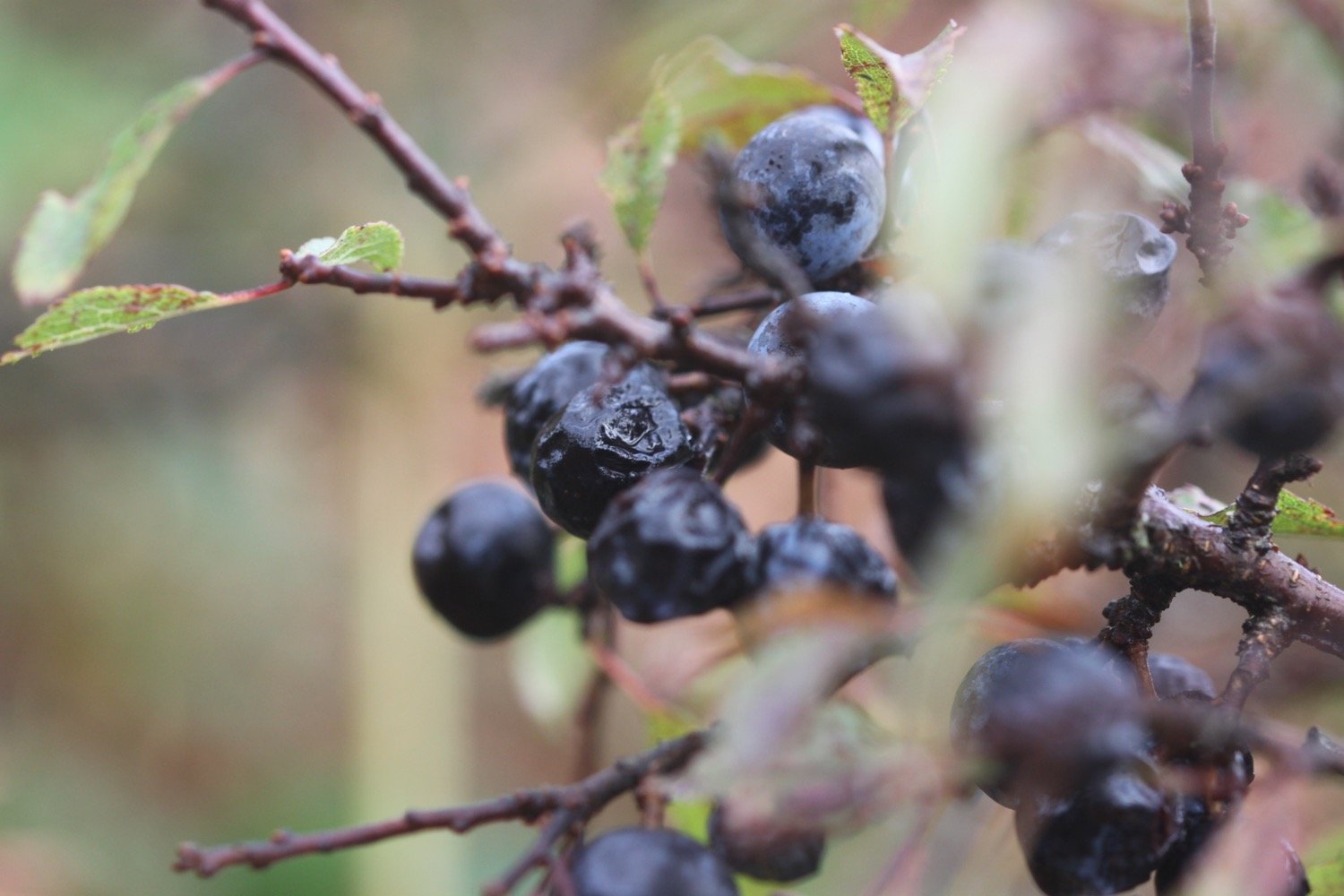
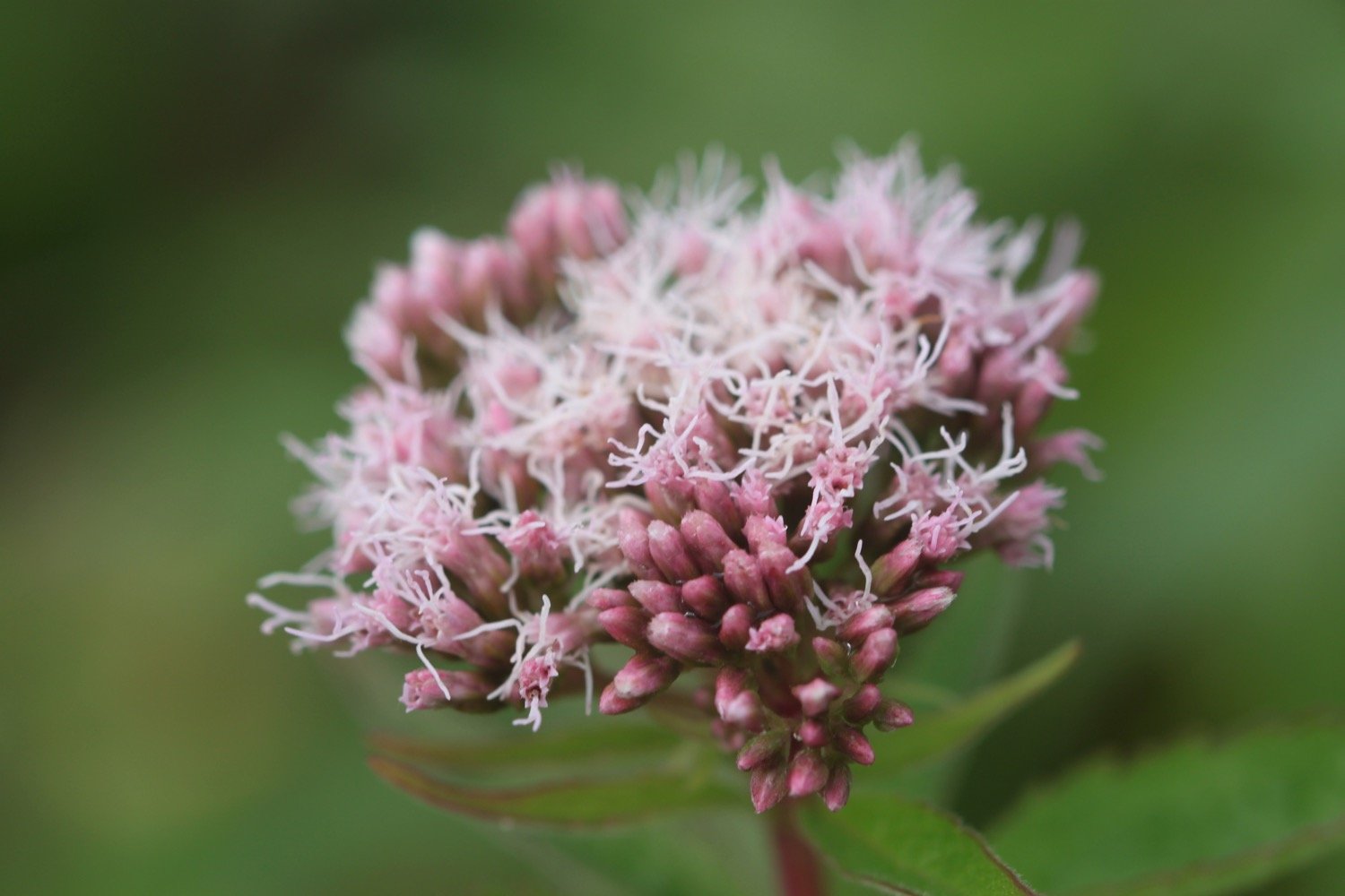
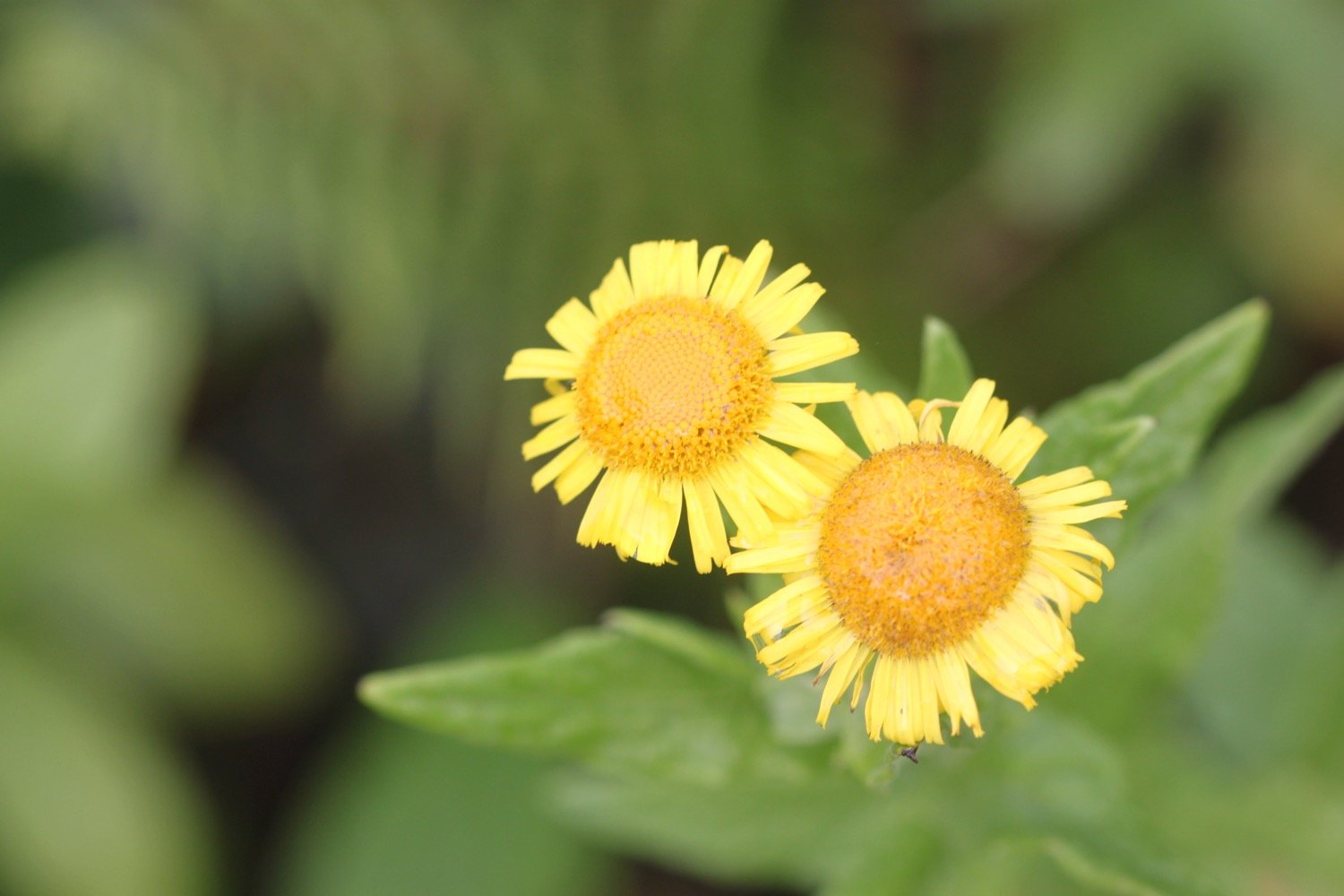
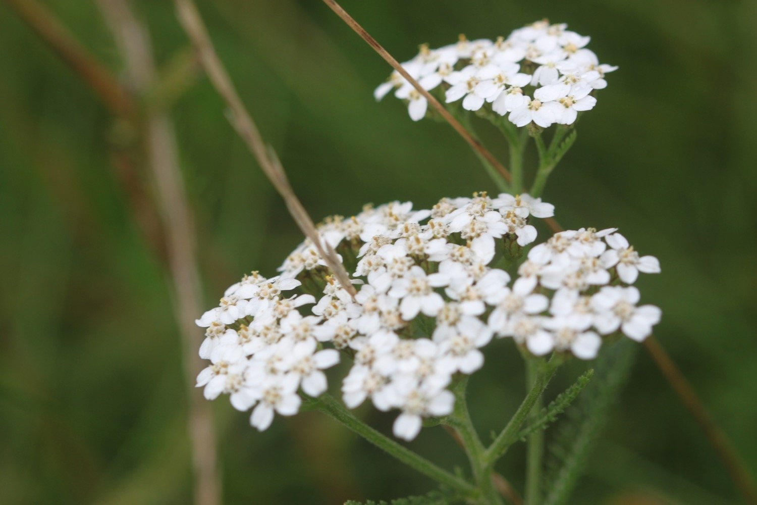
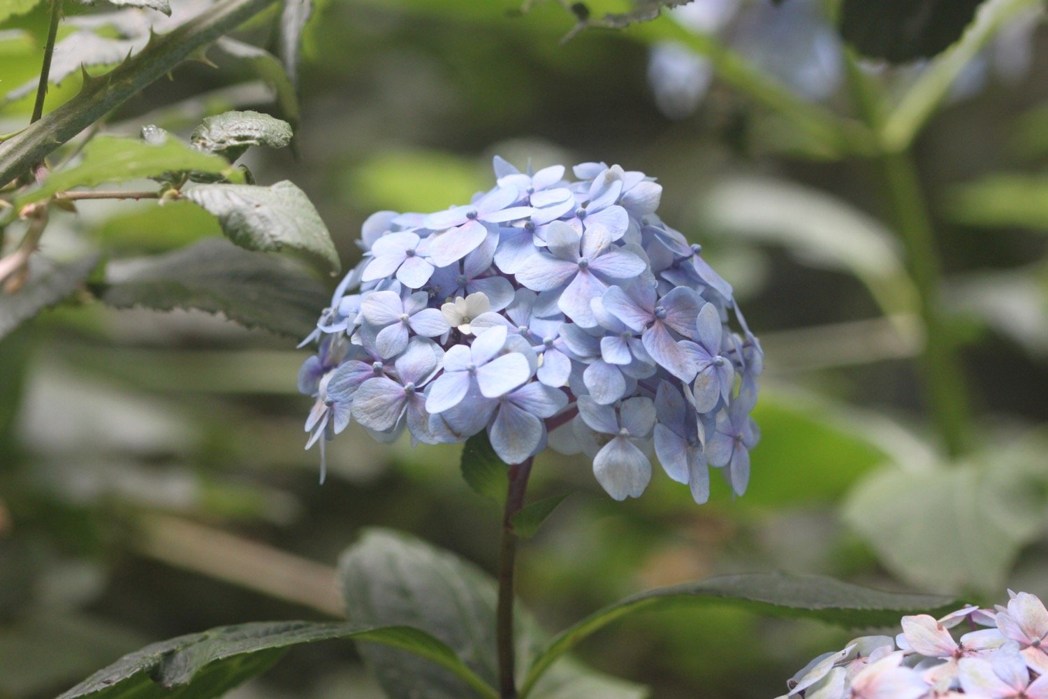
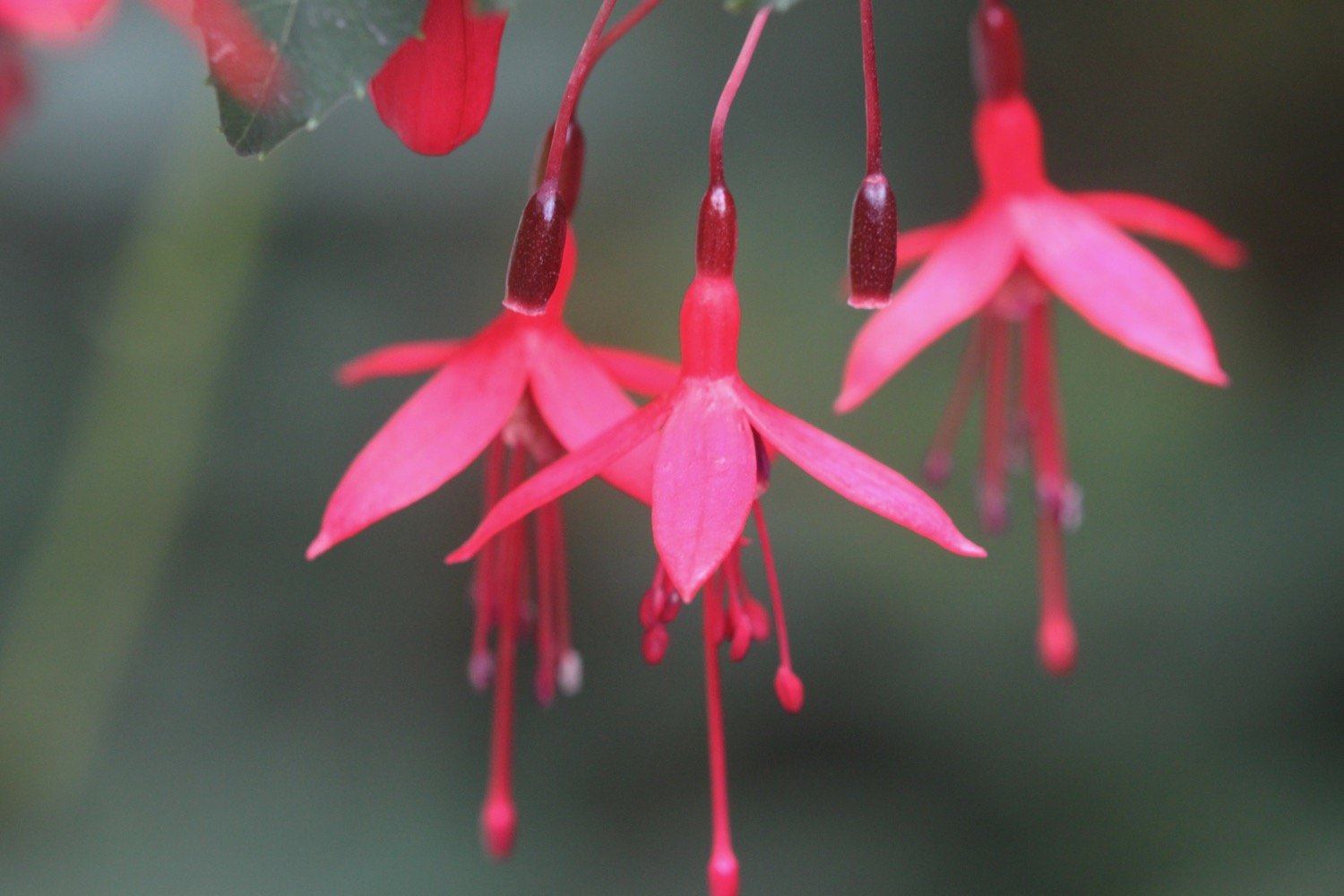
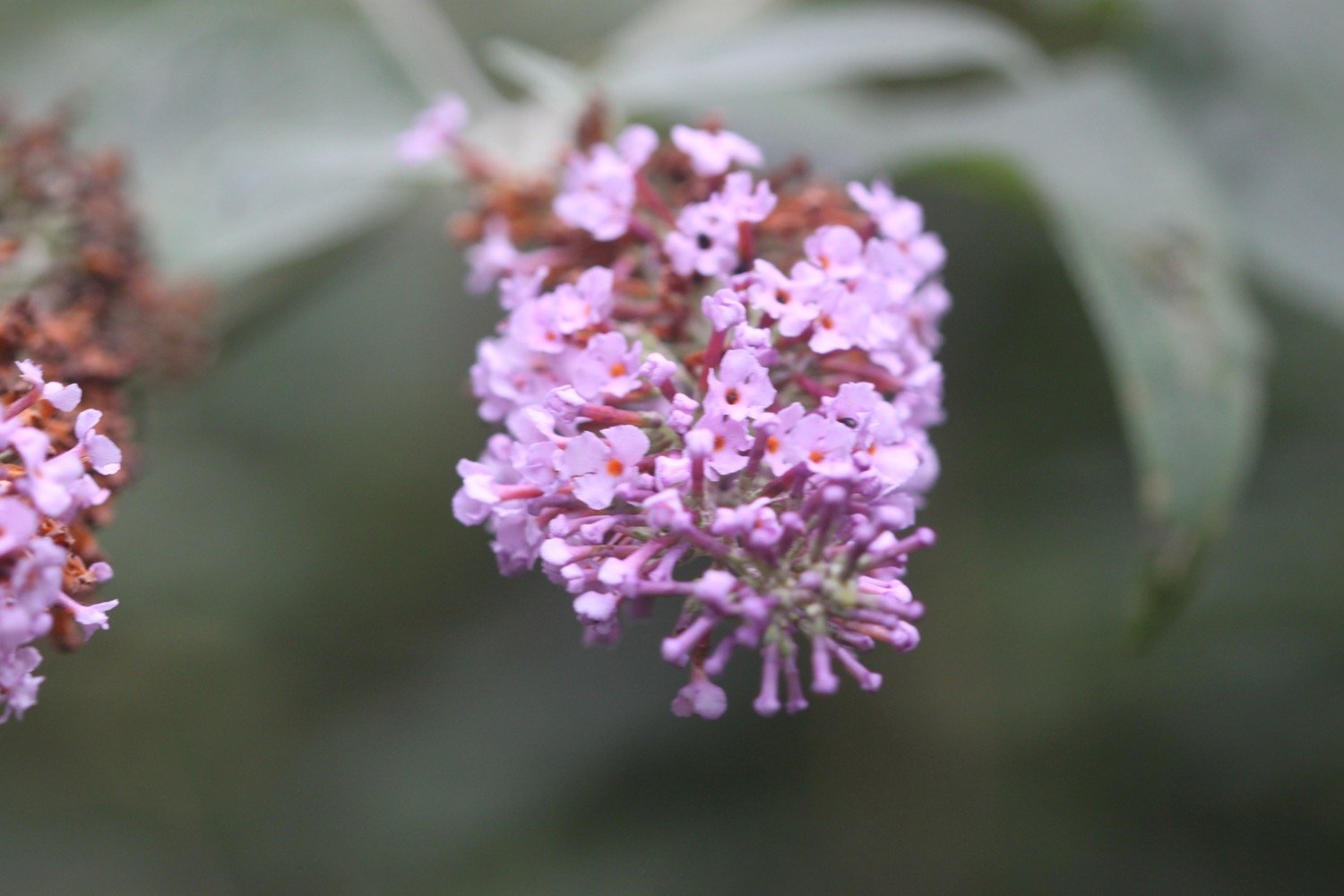
FLORA AND FAUNA
Flora and fauna encountered on the walk today includes :-
oystercatchers
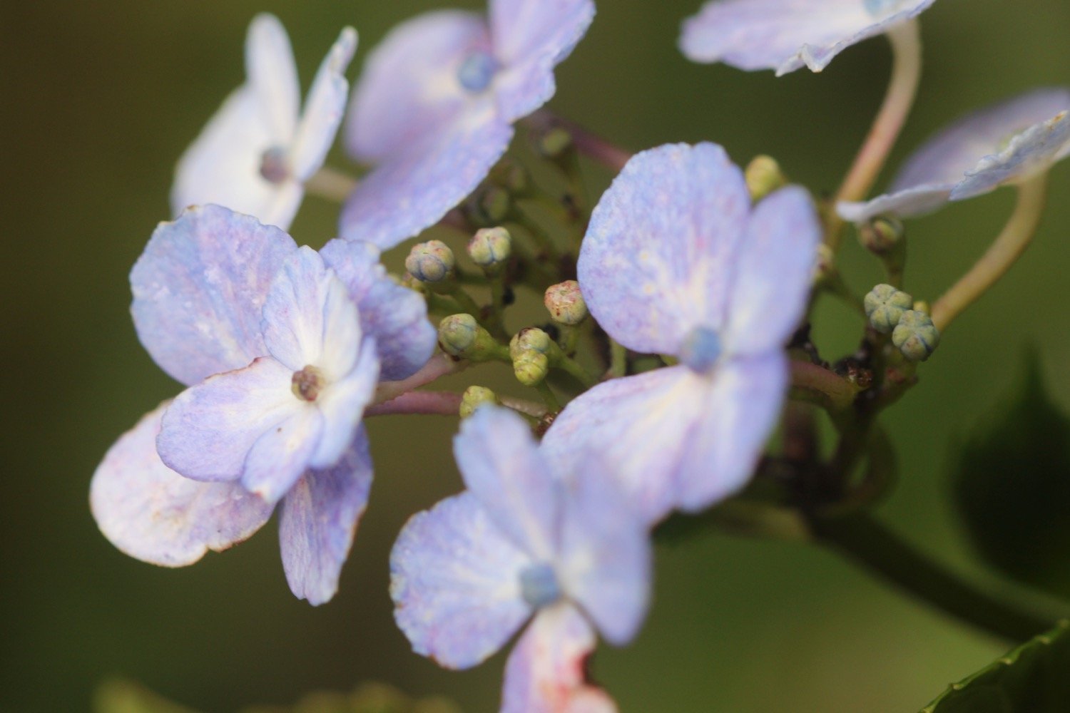
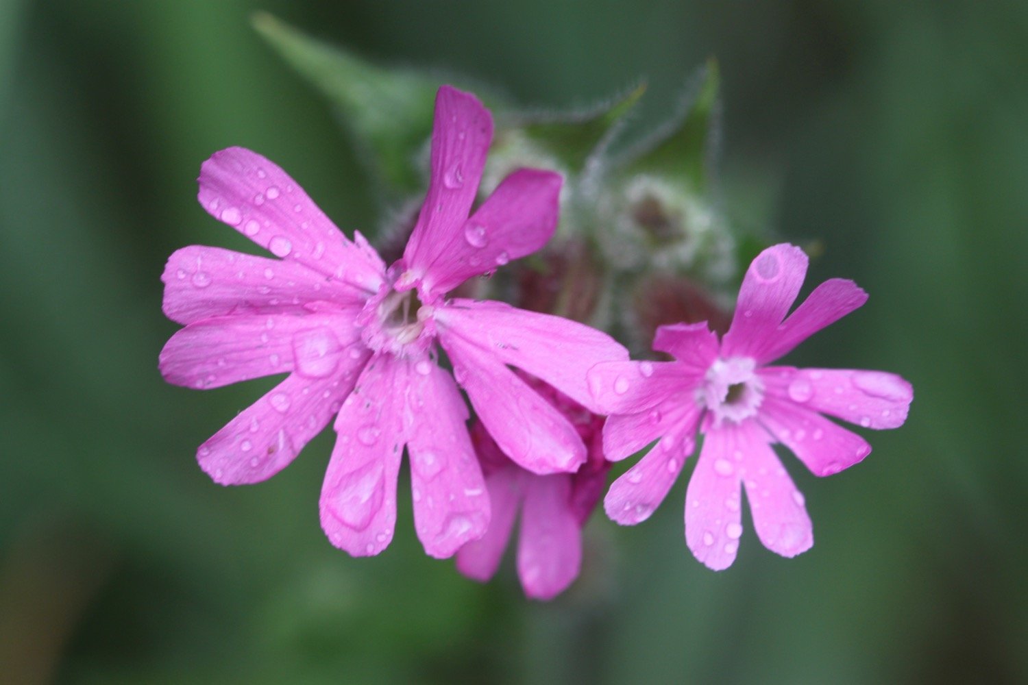
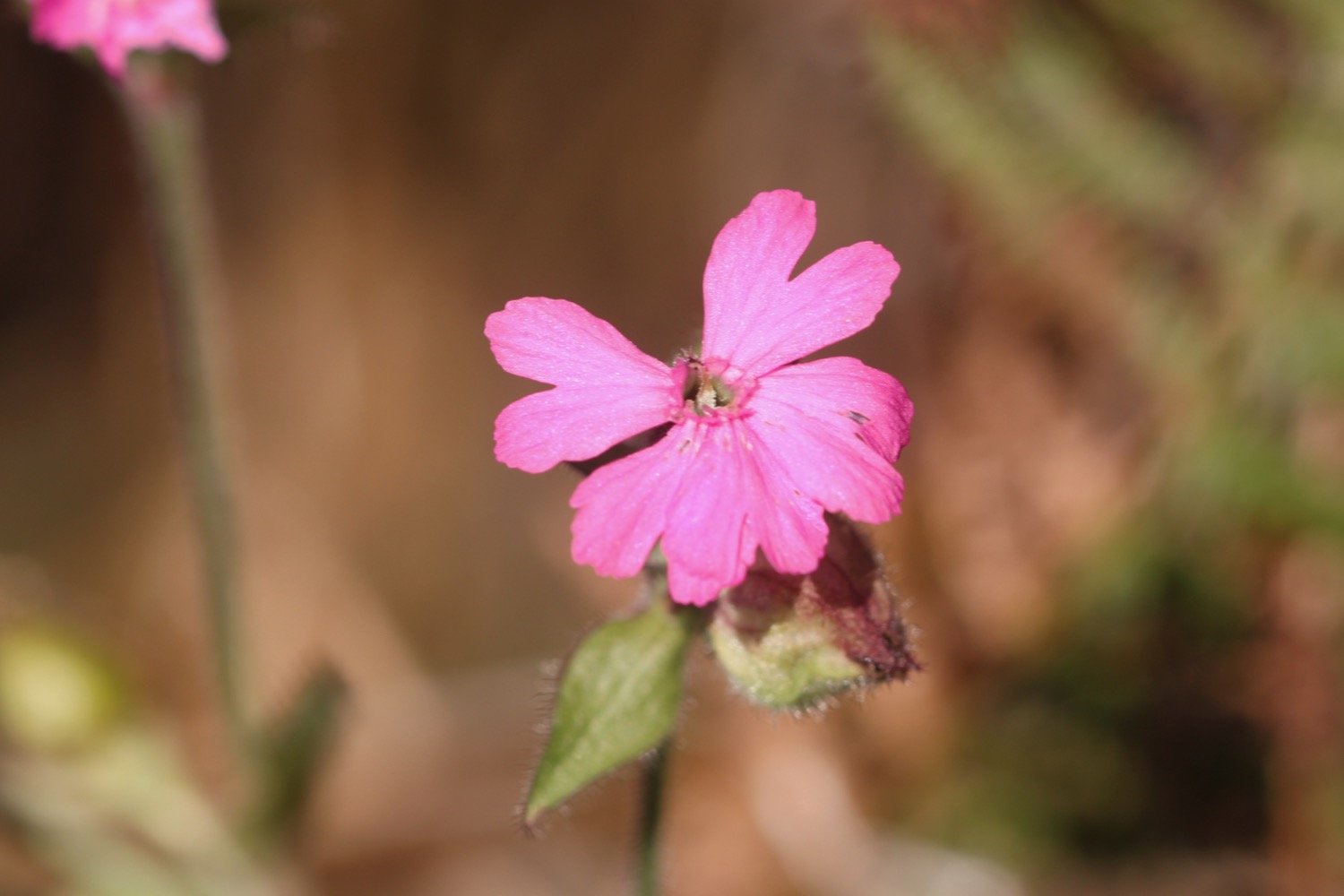
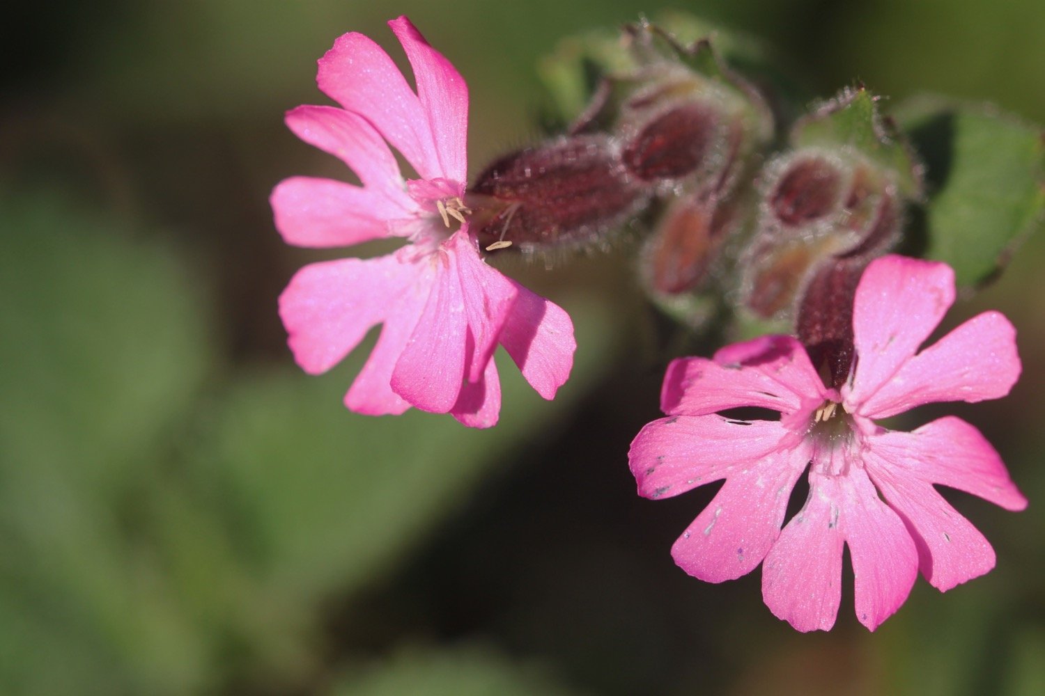
red campion
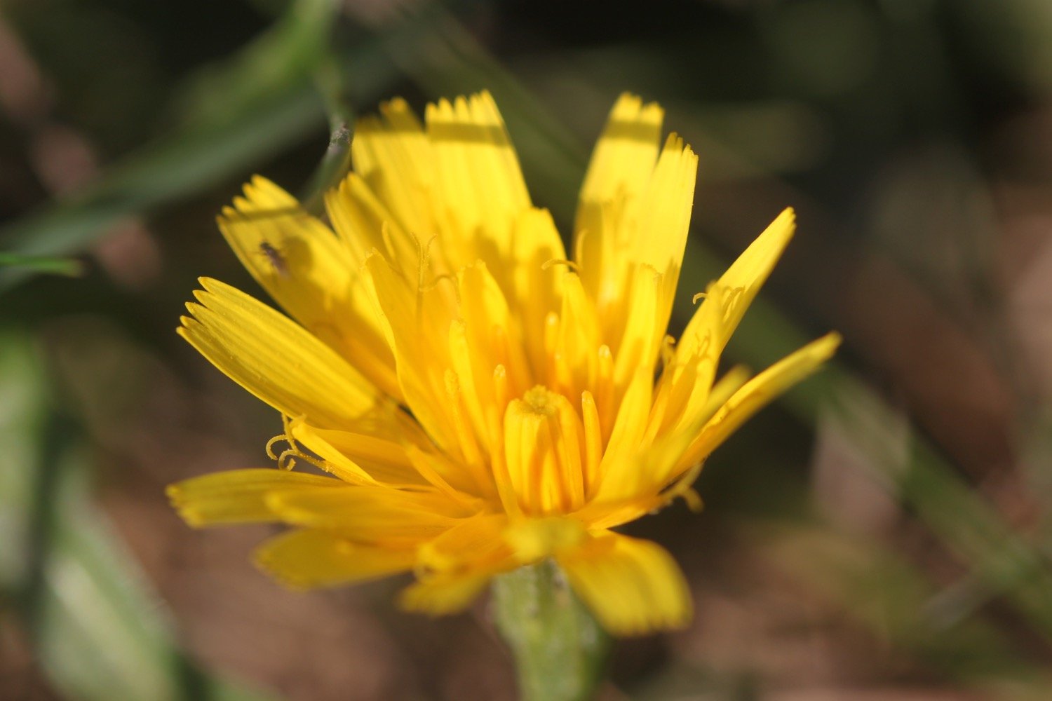
mouse-ear hawkweed
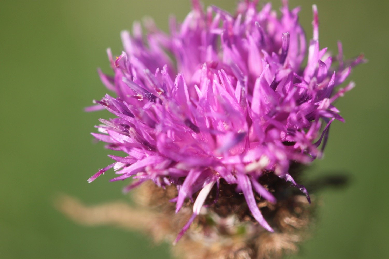
common knapweed
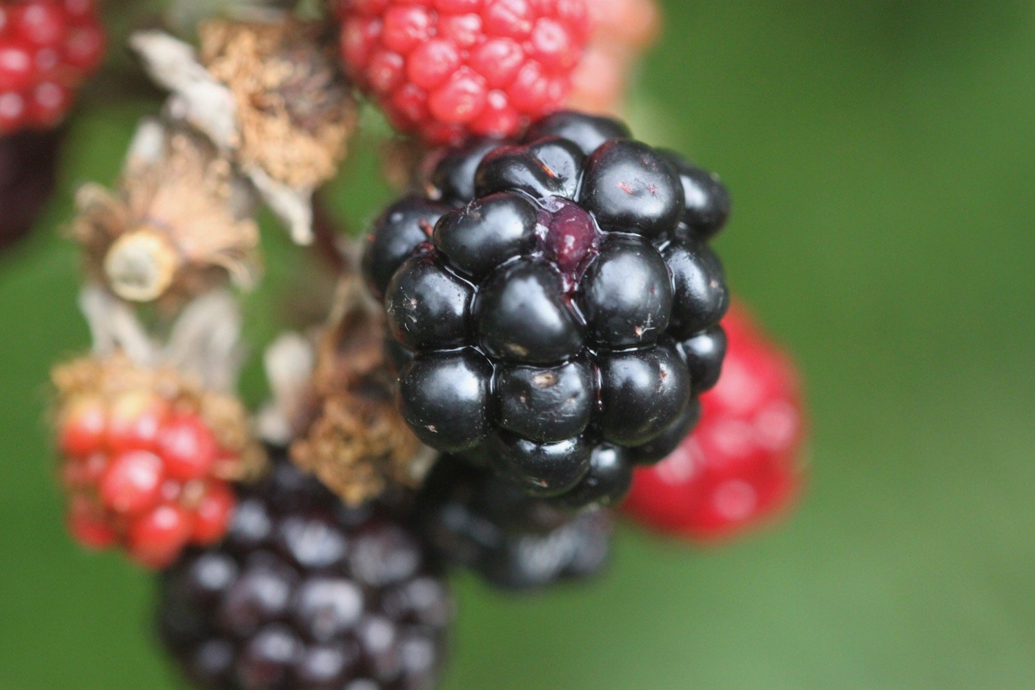
blackberries
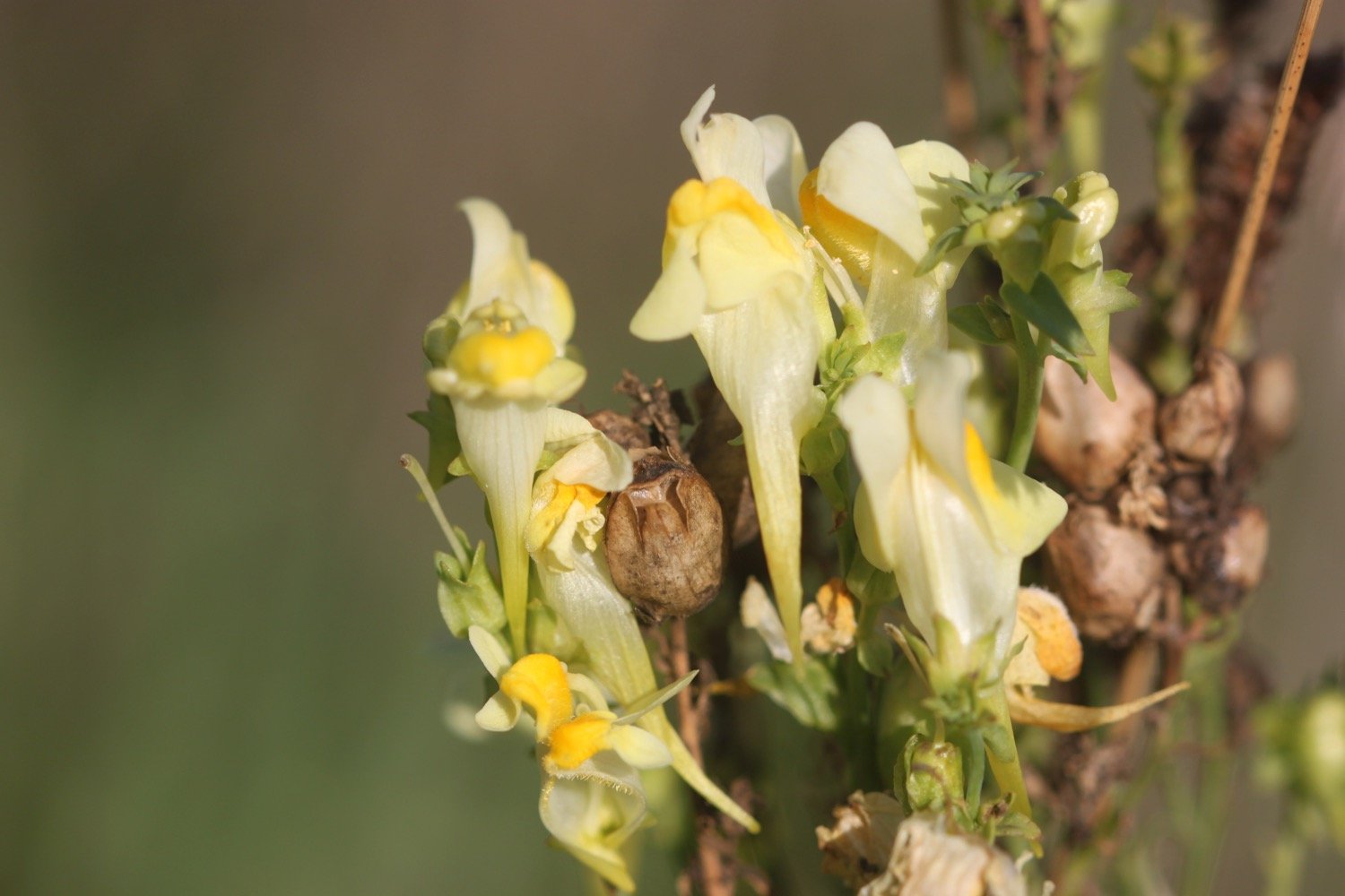
common toadflax
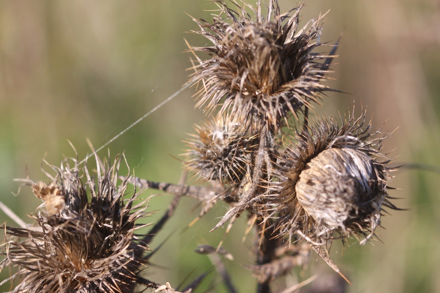
burdock
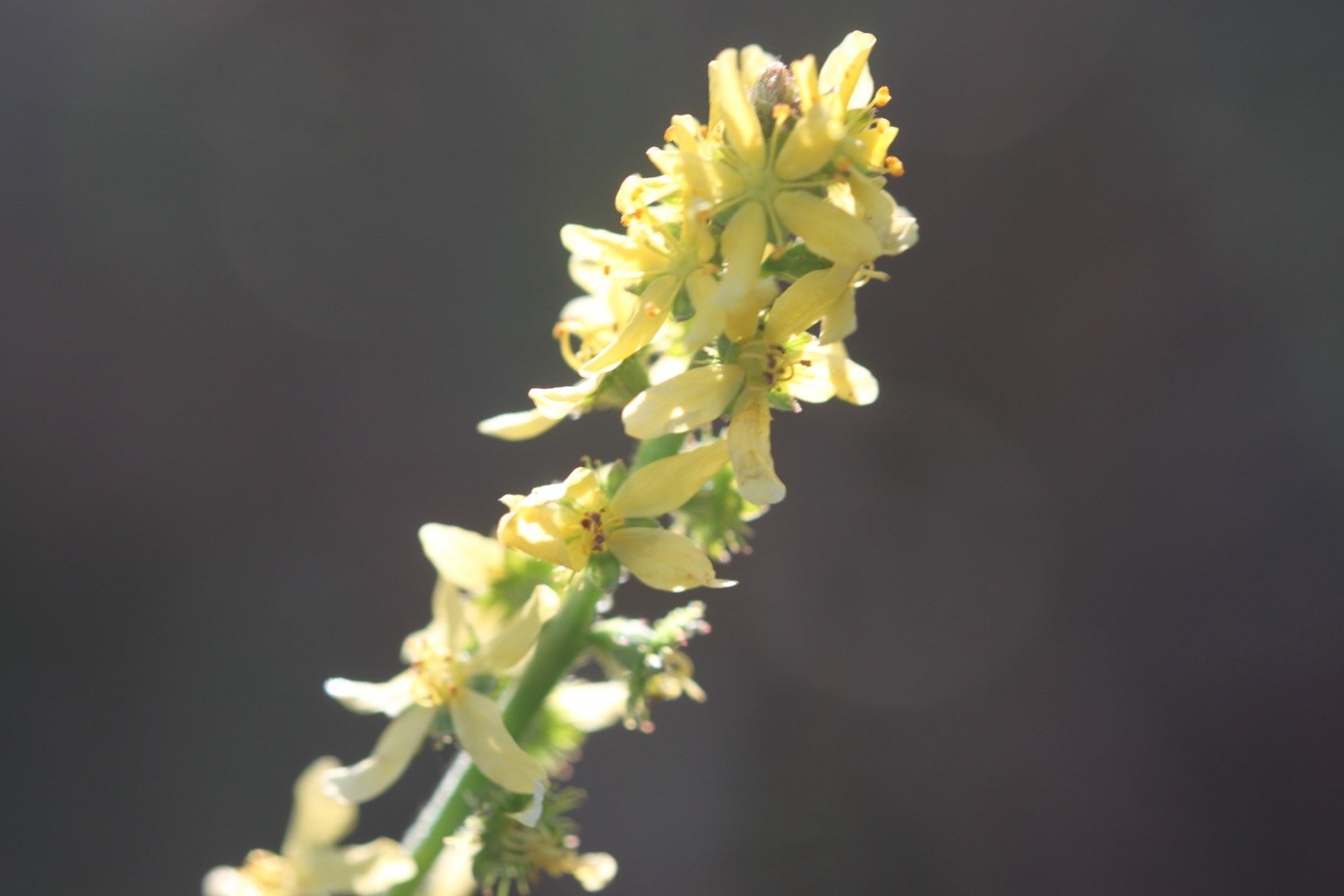
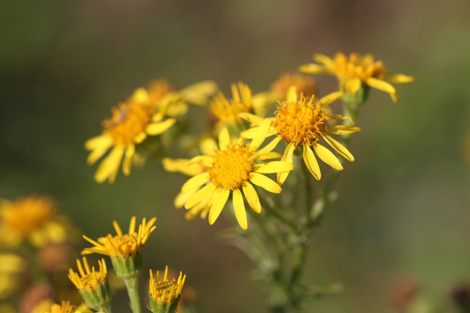
ragwort
CHOUGHS!
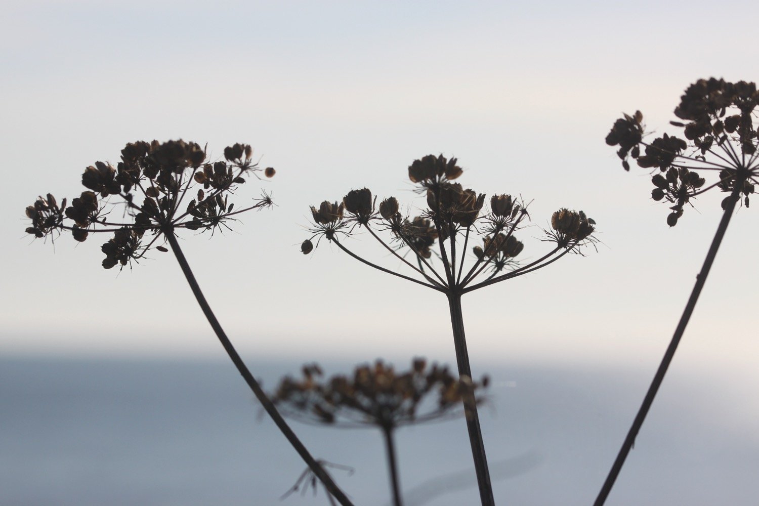
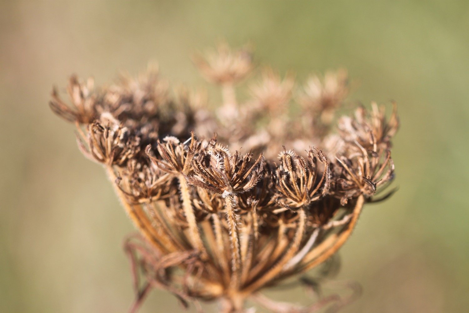
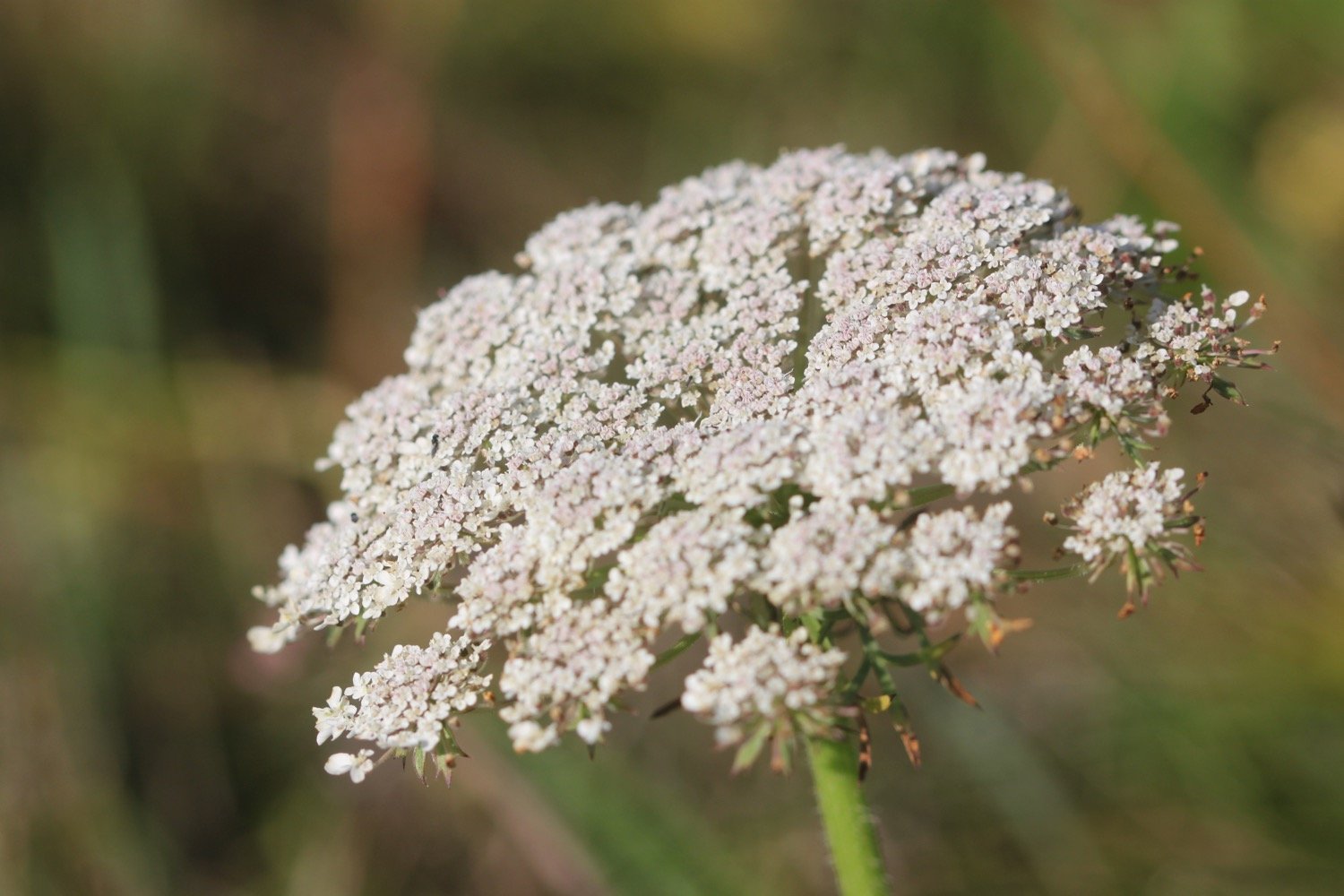
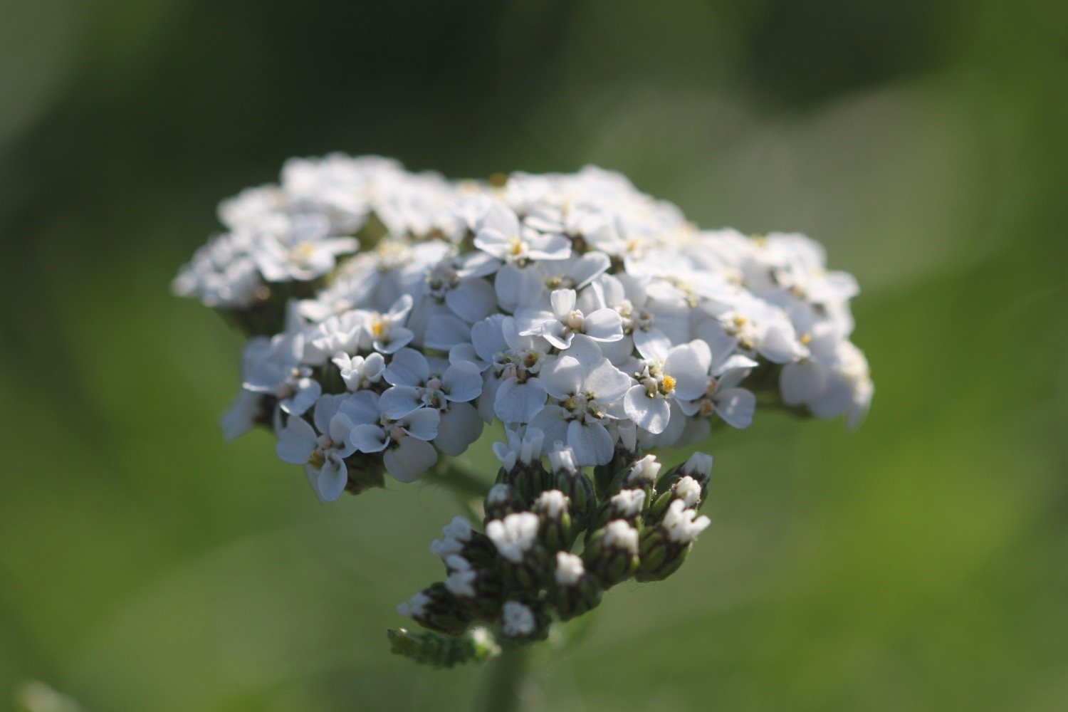
wild carrot
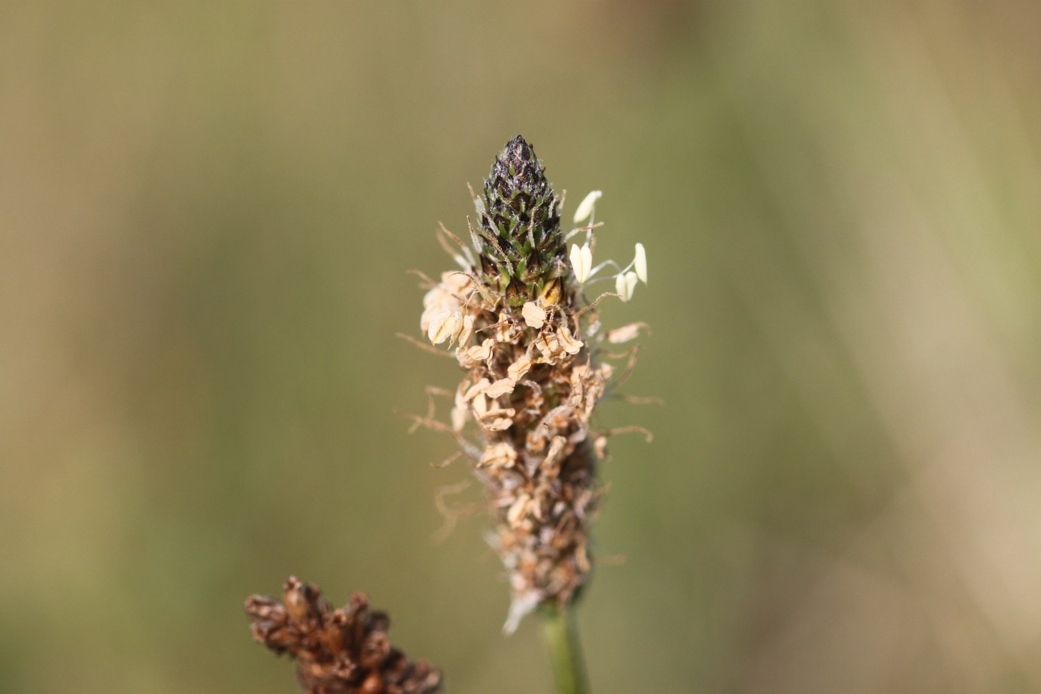
ribwort plantain
wall brown butterfly
speckled wood butterfly
clouded yellow butterflies
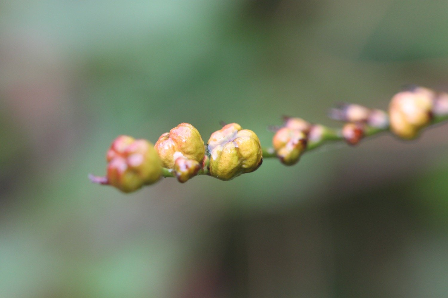
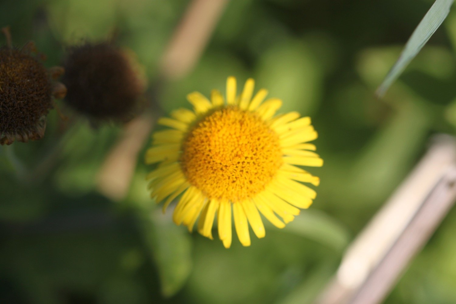
fleabane
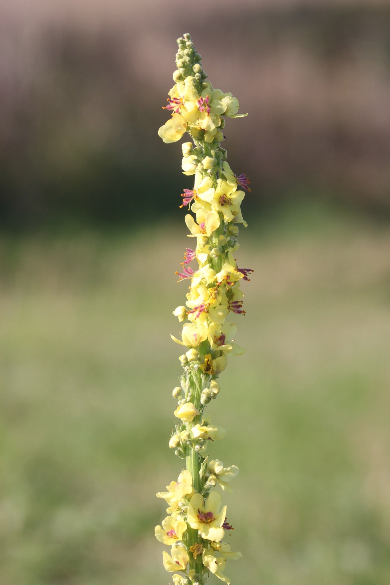
great mullein
shetland ponies
bees

PODCAST
The podcast of today's walk is now available. You can subscribe via Apple Podcasts or listen using the player below.

MARKS OUT OF TEN?
According to my phone I've walked 7.7 miles and, including the ferries, covered a distance of 10.2 miles, which amounts to 18174 steps. It has taken me three and a half hours.
Sun, sea, sand, choughs and ferries. Ten out of ten!
WALK DETAILS
MAP
choughs
towan beach
beehives
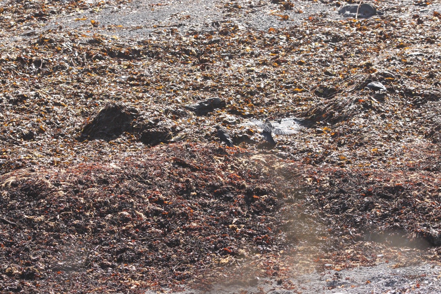
beach collection