exmouth to sidbury via sidmouth

south west coast path

saturday, 7th may 2016

2016 has been a miserable year so far. It has been wet, windy and cold. But hang on a sec, I seem to have a pretty decent forecast for today. It looks like it will be warm and sunny for much of the day.

Exmouth high tide: 07:48

Exmouth low tide: 14:02

Today's walk starts at Exmouth Marina where the Exmouth to Starcross ferry is moored. I'll use this ferry later on in the year to get across the River Exe.

exmouth

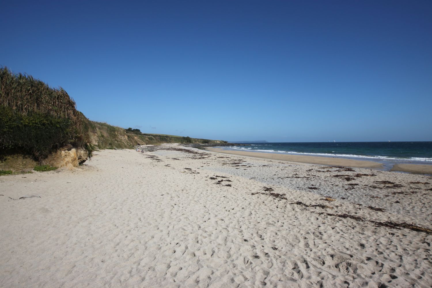
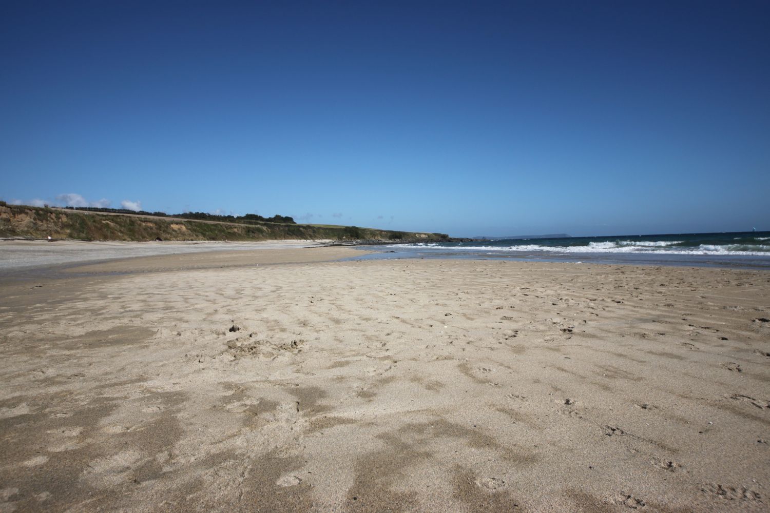
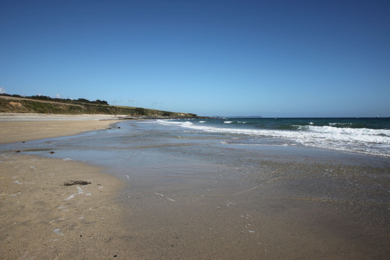
From here it's a short walk to the nice, sandy beach. It's high tide so the waves are lapping against the sea wall. I pass the Jubilee Clock Tower on The Esplanade, erected to commemorate the diamond jubilee of Queen Victoria, before continuing along the beach.

jubilee clock tower

I pass by The Grove (@thegroveexmouth), several hotels and the Bath House. I drop down on to the beach and wander along it. Just behind the beach can be found  The Maer, a local nature reserve, which seems to be full of dog walkers.

Towards the end of the beach I pass Exmouth Lifeboat Station (@exmouthrnli) before going through Foxholes Car Park. The path rises out of Exmouth and along the top of cliffs heading towards Orcombe Point.

exmouth lifeboat station

Orcombe Point marks the start of the Jurassic Coast, a World Heritage Site stretching 95 miles from here right the way around to Dorset. The rocks here are 250 million years old and a deep red colour. A sign here gives details of the Jurassic Coast.

You are standing at a remarkable point in the geological story of our planet. About 250 million years ago, most of life on Earth was wiped out. The distant headland to your right holds fossils that record some of the strange creatures that died out. The red rocks in the cliffs to your left were formed when the survivors started to recover.

today's geology lesson

Orcombe Point marks the start of the Jurassic Coast, a World Heritage Site stretching 95 miles from here right the way around to Dorset. The mudstone and sandstone rocks here are a deep red colour and were laid down in a desert 250 million years ago in the Triassic period. There are no fossils in these rocks indicating that in the early Triassic period almost all life had been wiped out. 

The beach at Budleigh Salterton is made up of pebbles derived from the Budleigh Salterton Pebble Beds and are made largely of Quartzite.

At Ladram Bay, there is a series of red sandstone stacks out at sea, all that remain of what were once natural rock arches that were once joined to the cliff.

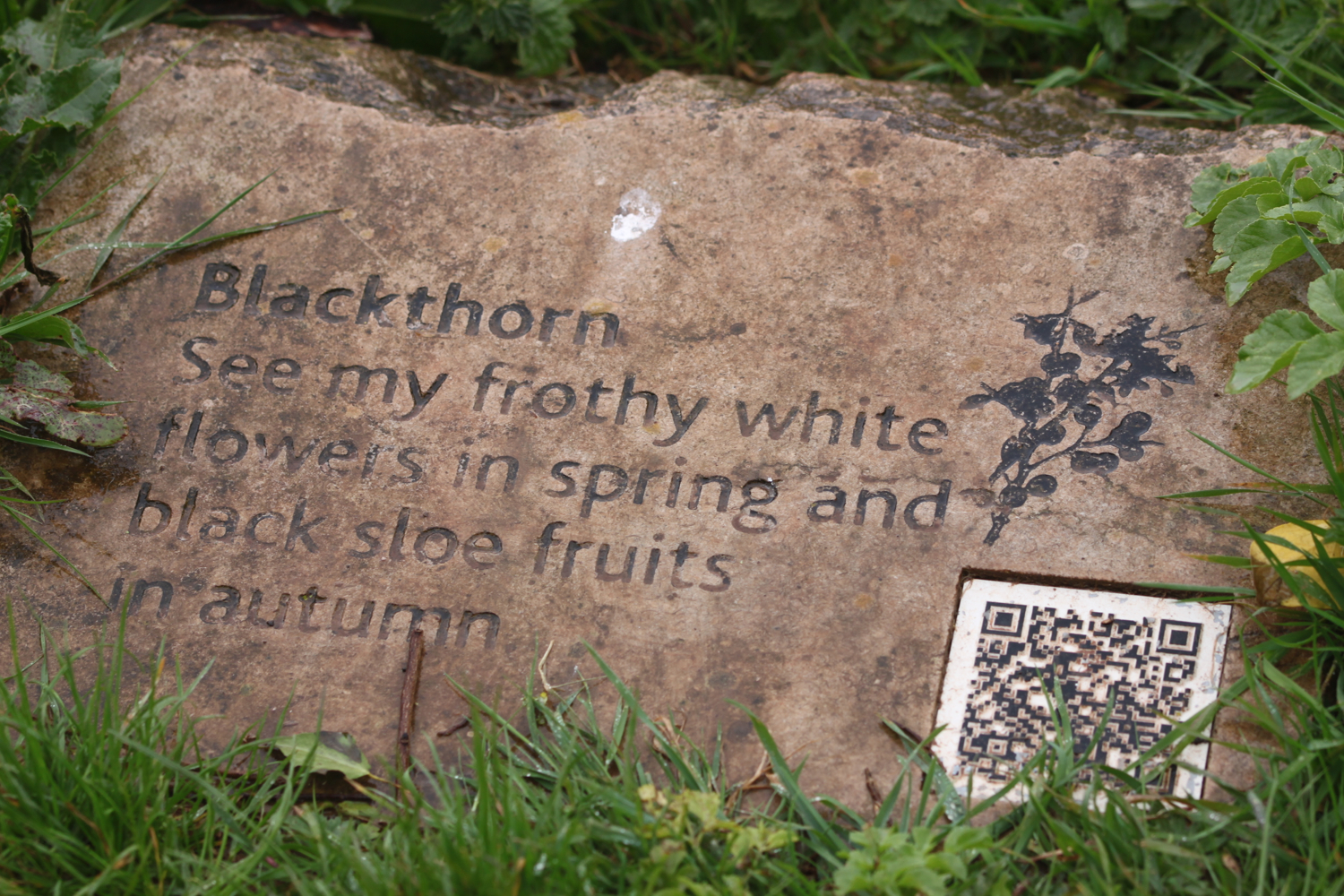
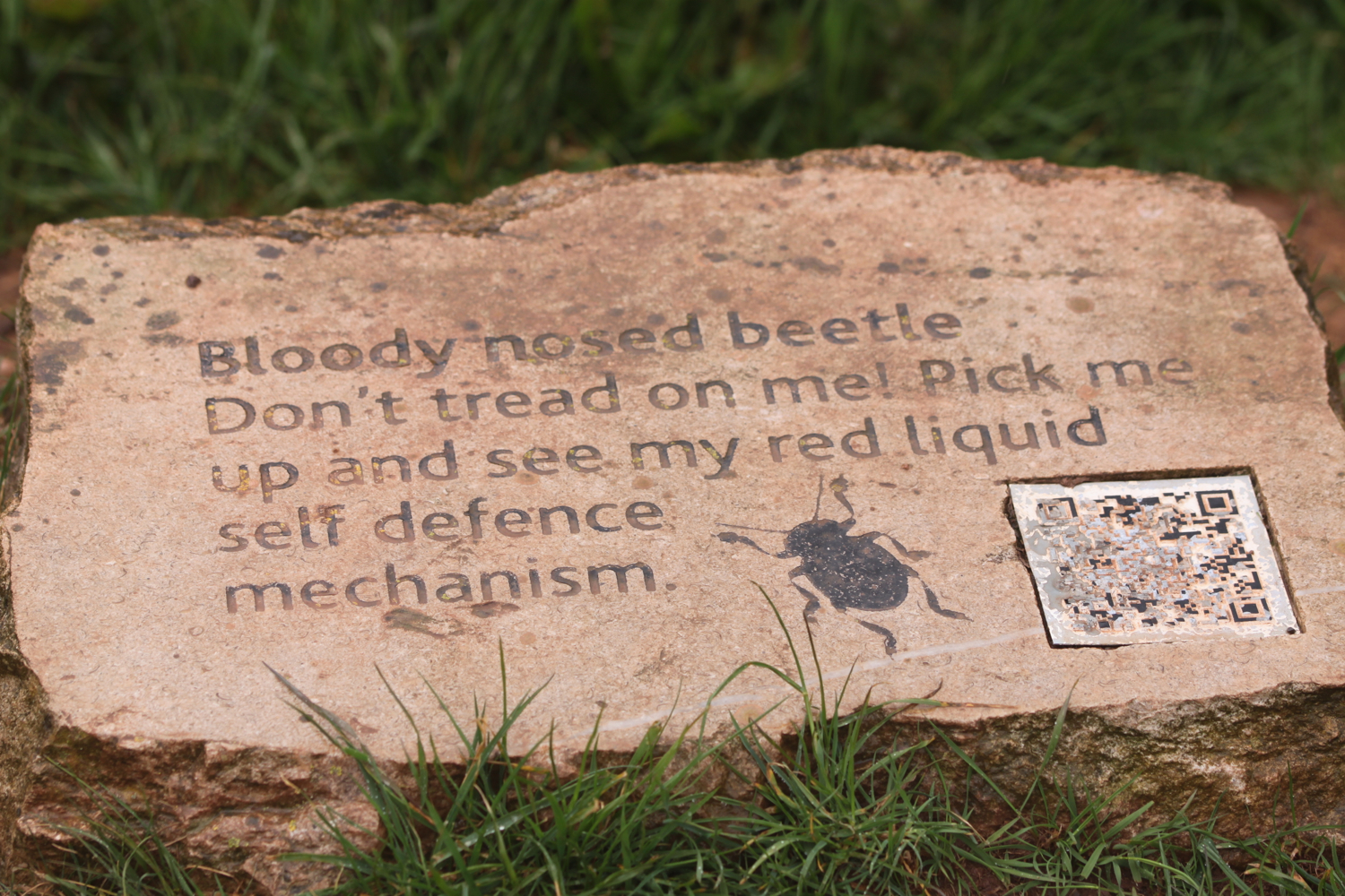
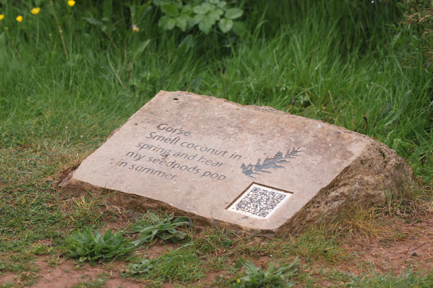
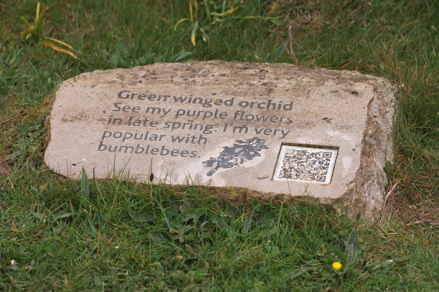
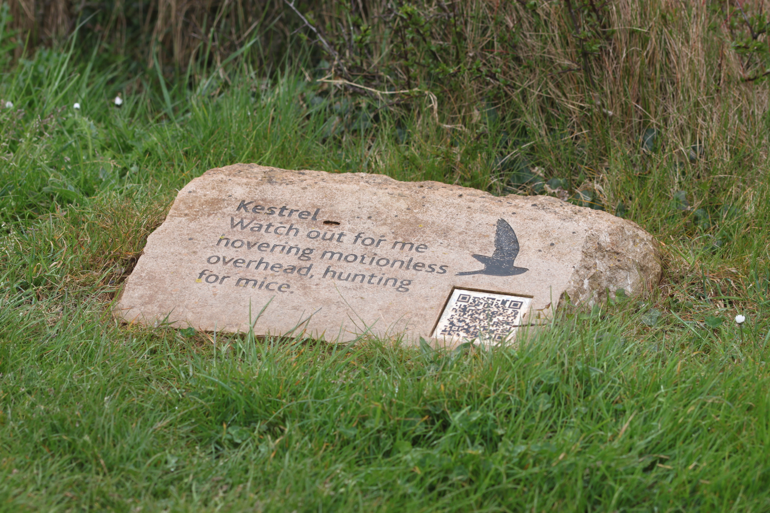
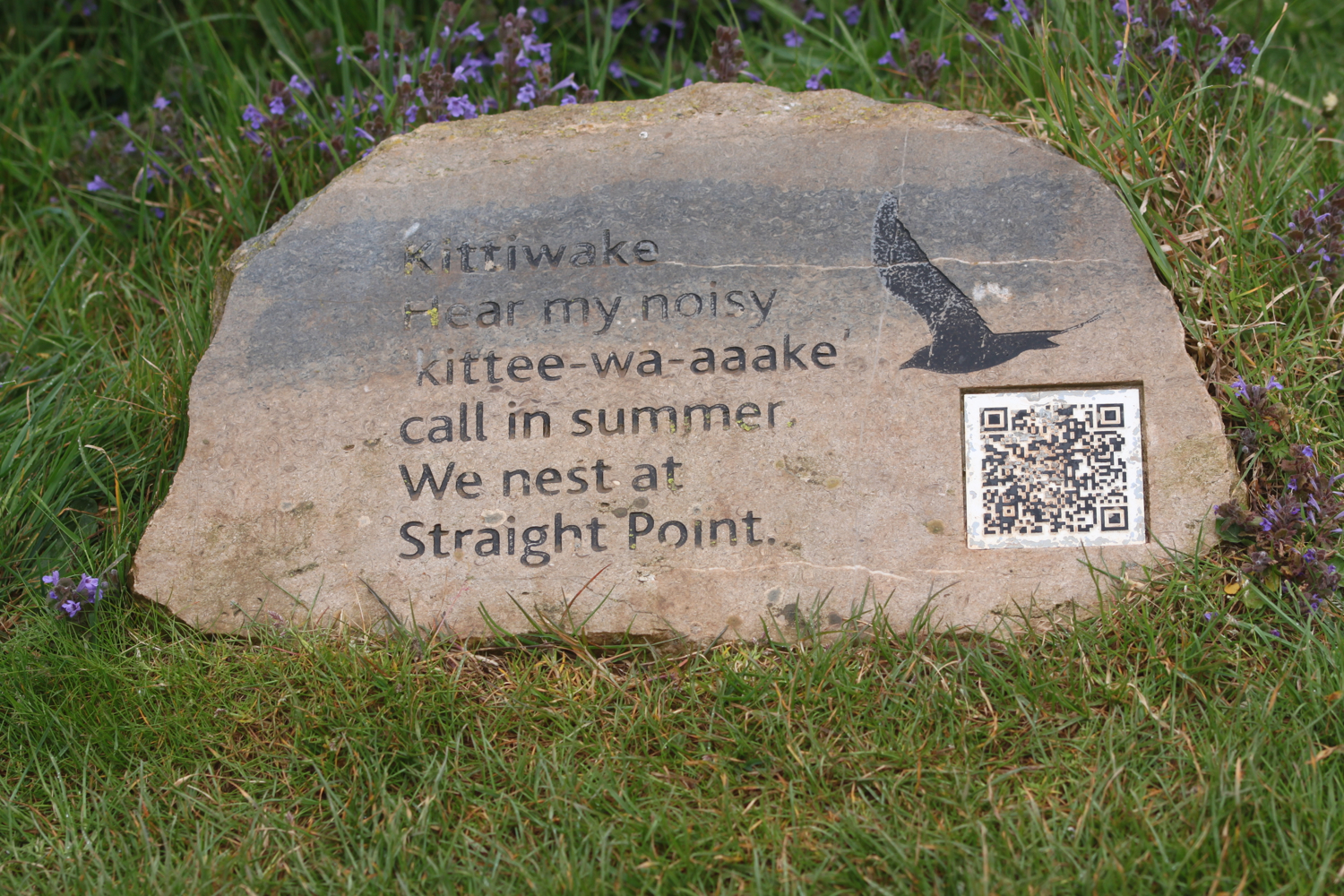
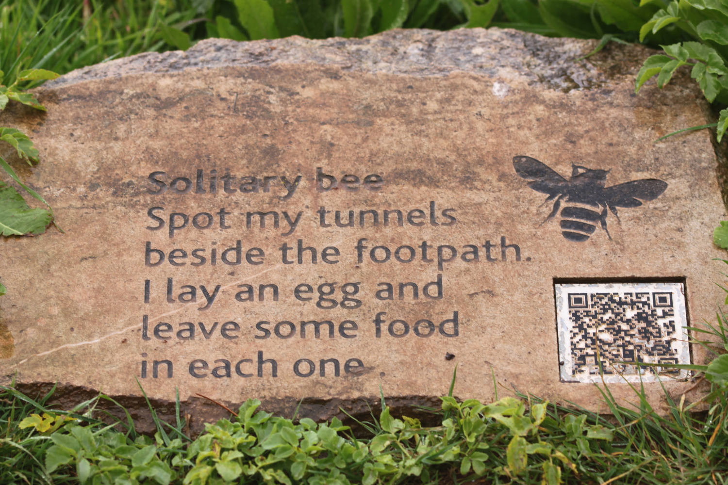
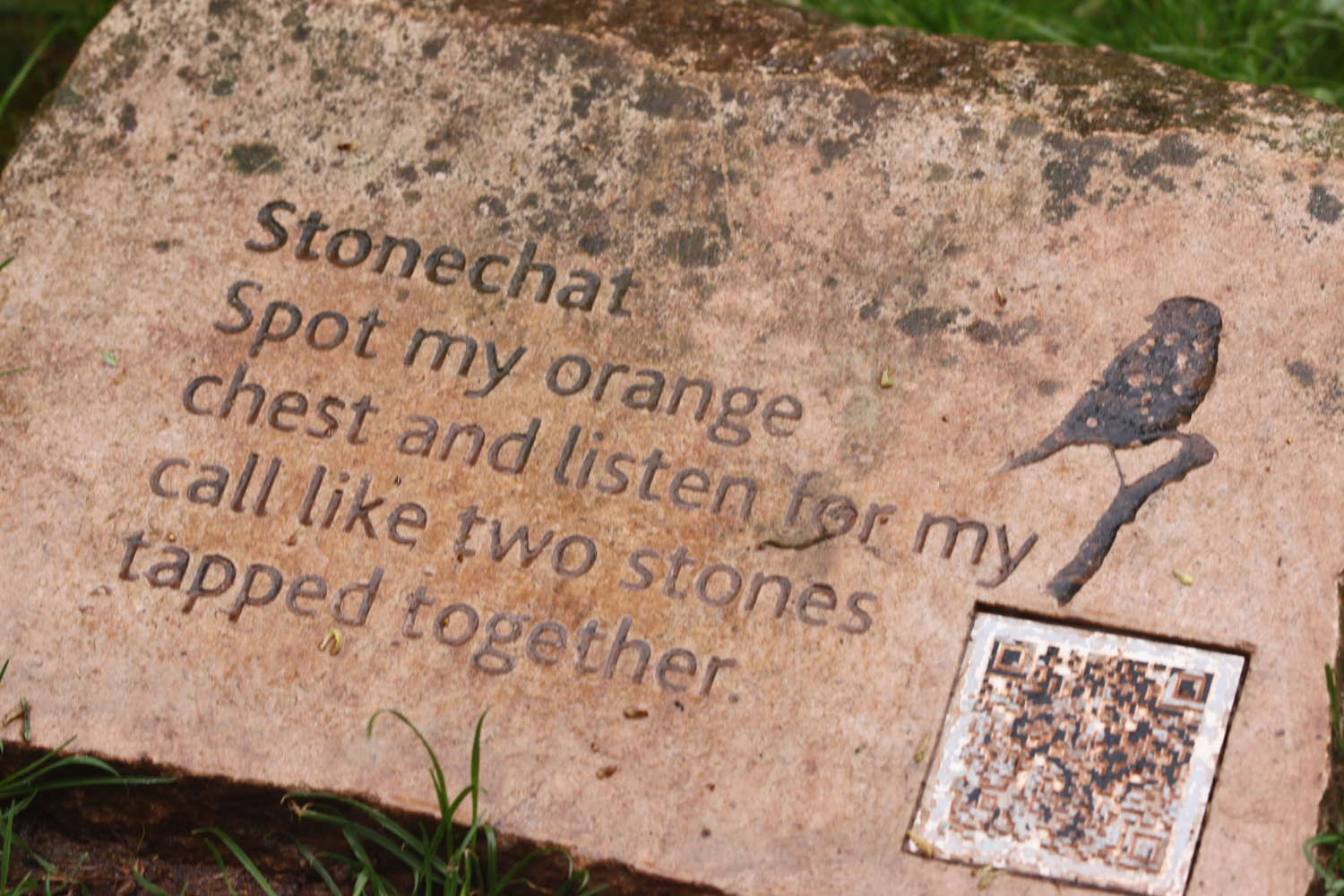
I enter the High Land of Orcombe and pass information stones containing information on blackthorn, solitary bees, stonechats, bloody nosed beetles, green winged orchids, gorse, kestrels and kittiwakes.

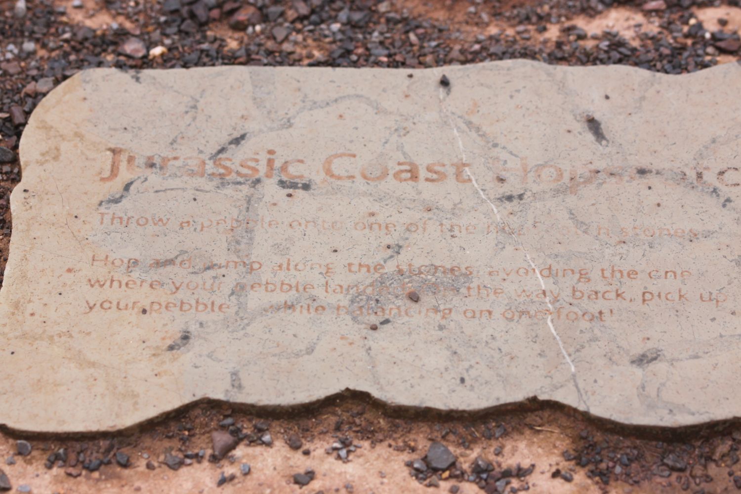
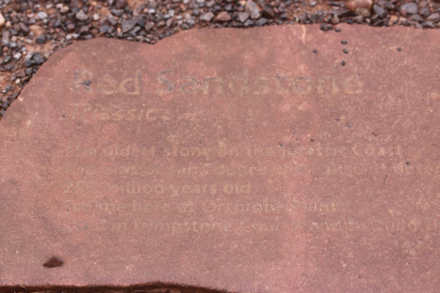
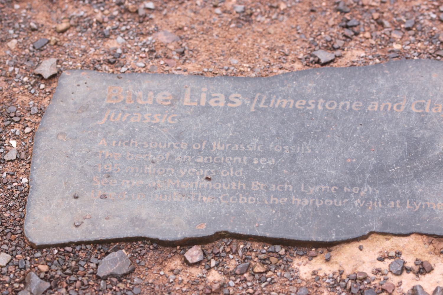
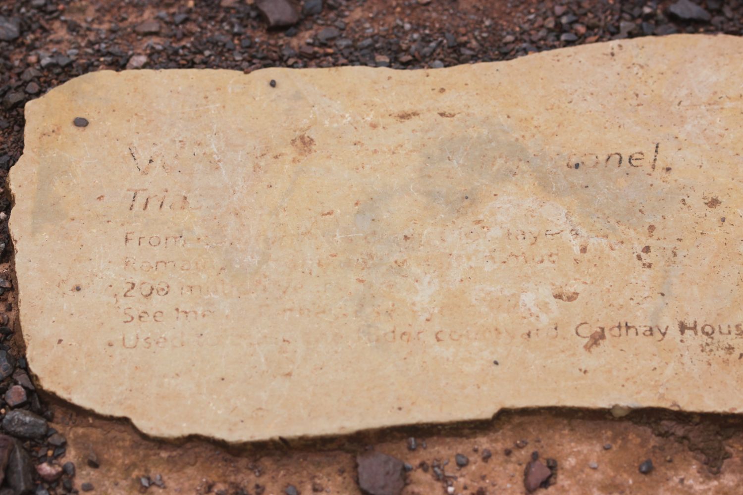
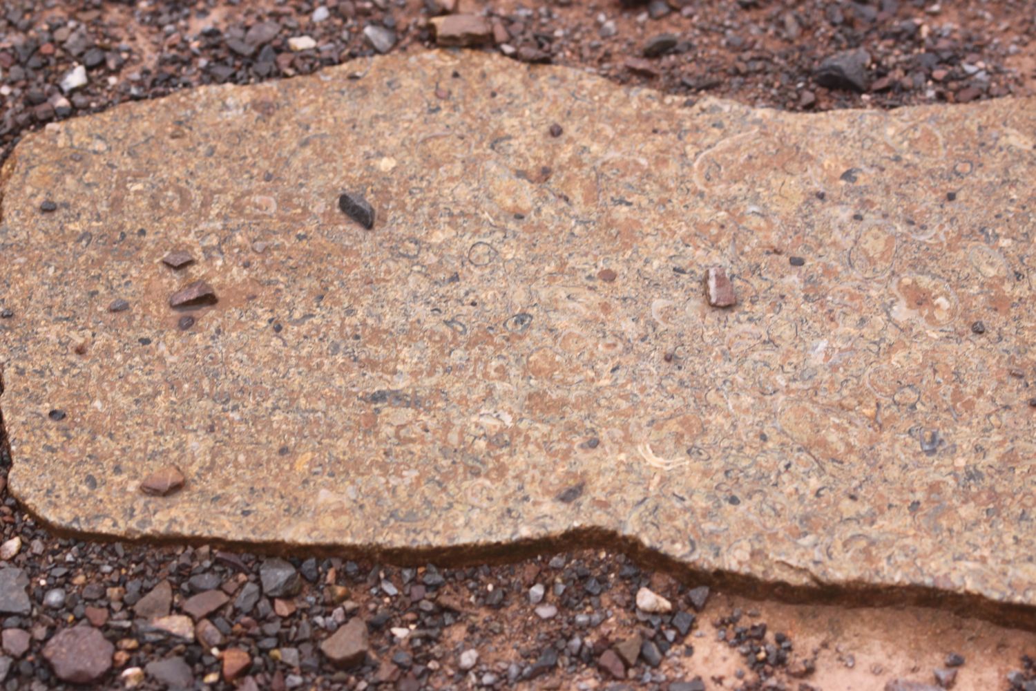
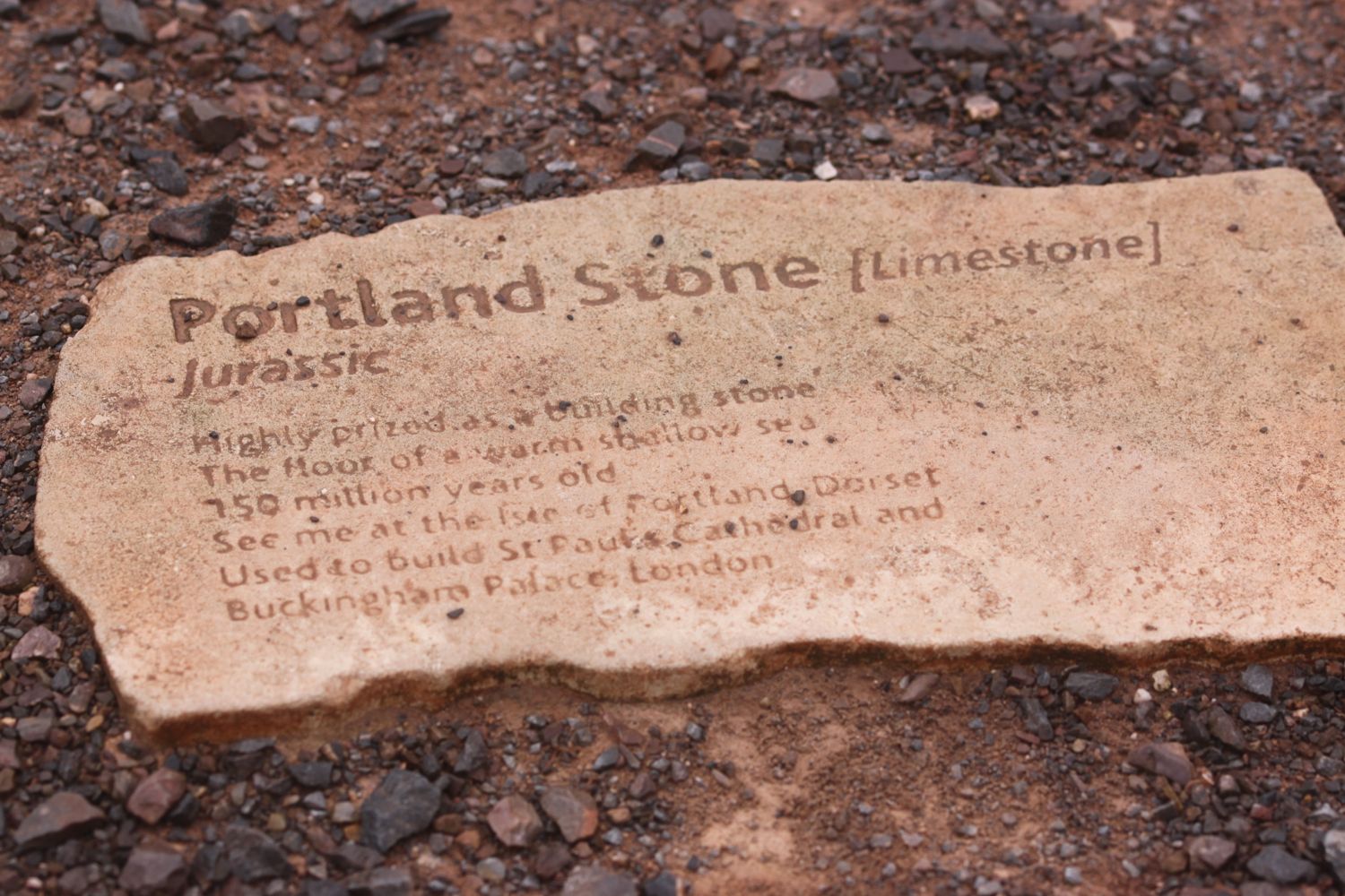
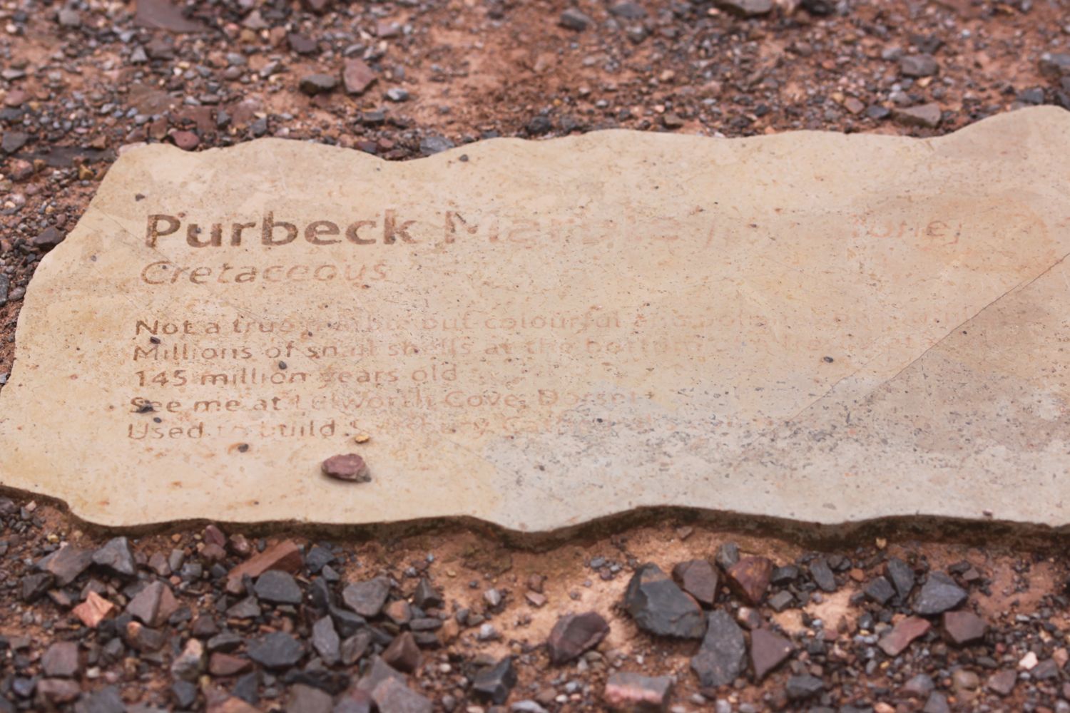
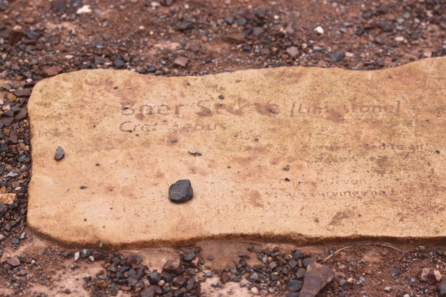
I pass the Geoneedle which marks the start of the Jurassic Coast which was unveiled by His Royal Highness the Prince of Wales on the 3rd of October 2002. The Geoneedle is constructed from a variety of different stones, representing both the major building stones to be found on the Jurassic Coast and the sequence of rocks that form this part of the coastline. There are blocks of stone set into the ground but they are starting to be a bit worn after 14 years.

geoneedle

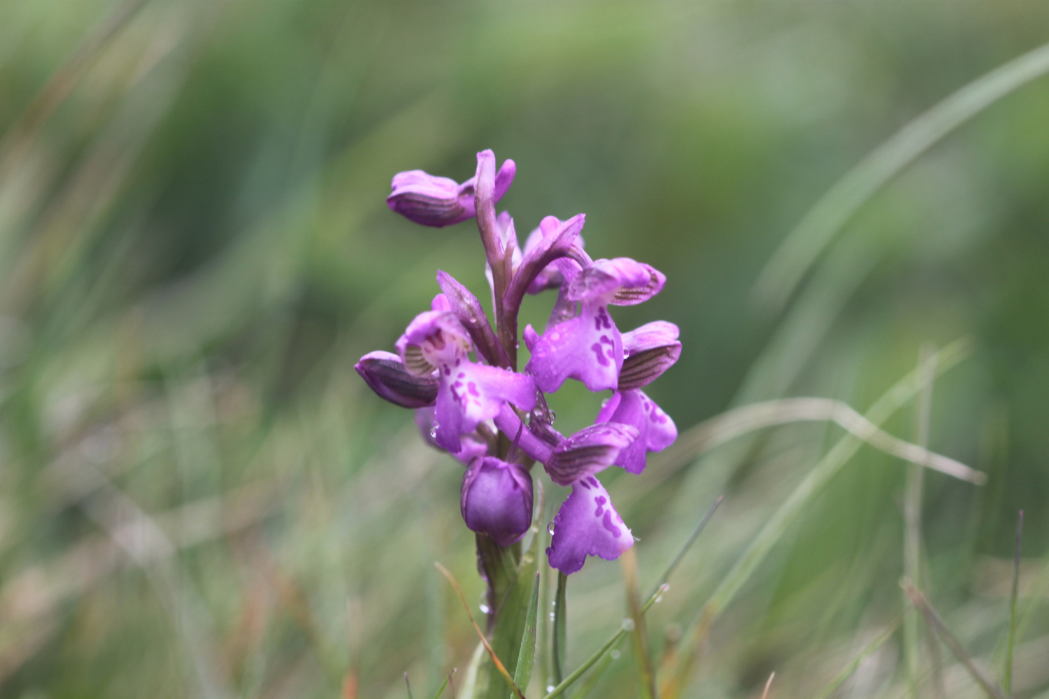
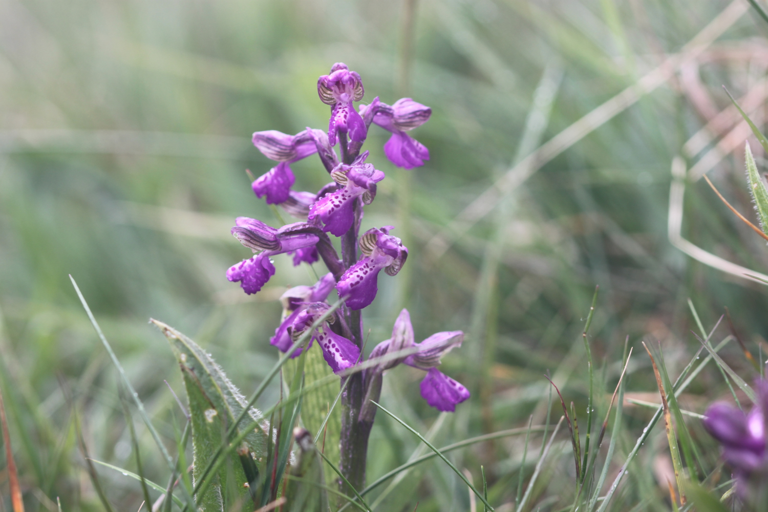
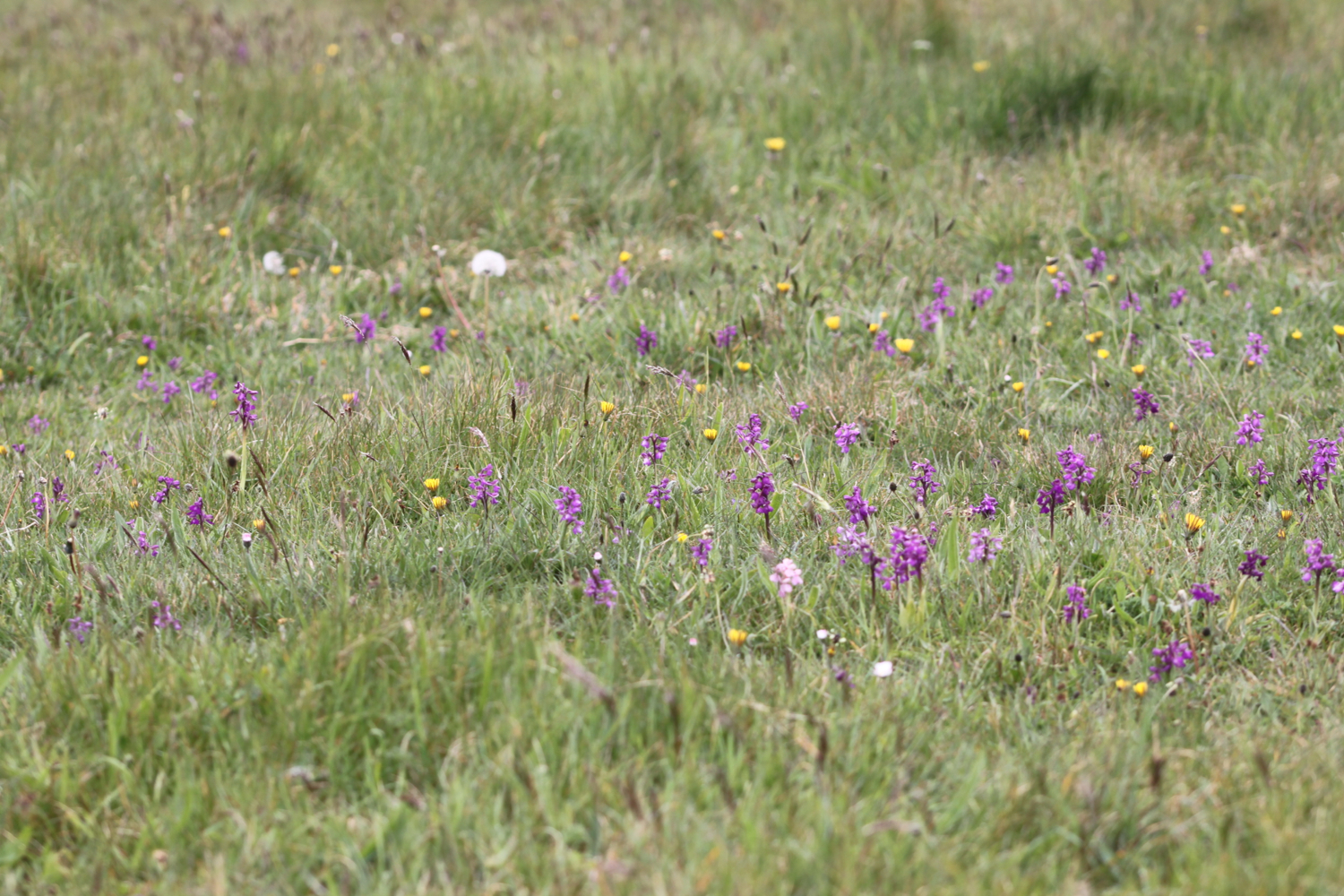
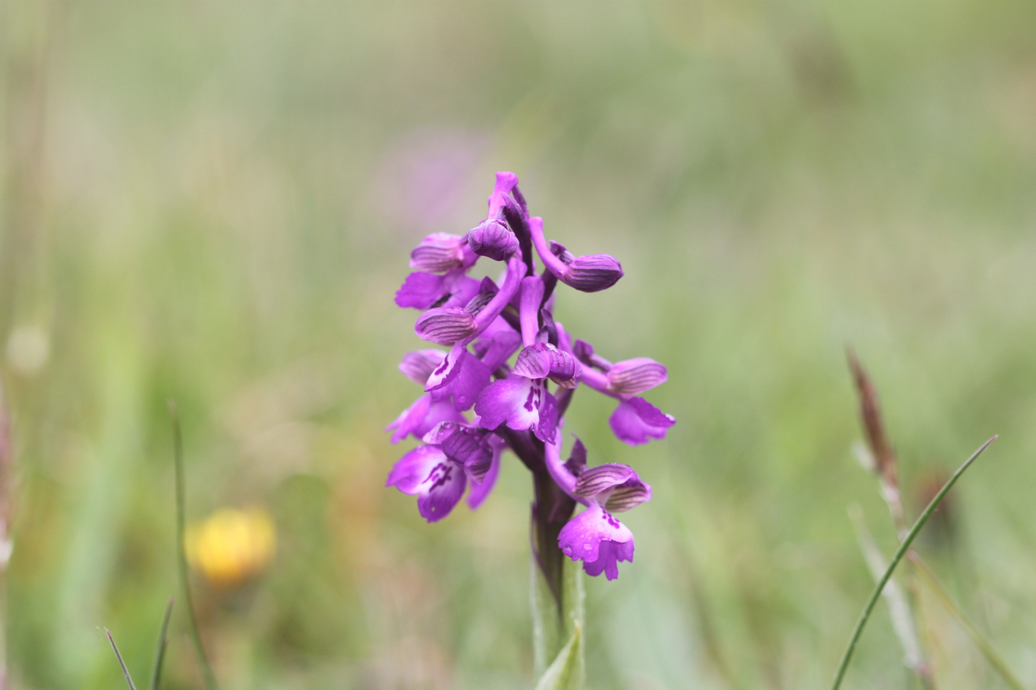
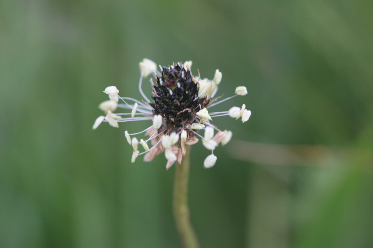
I come across a fine patch of green winged orchids - my first orchids of the season - near to the geoneedle.

The wild flowers are starting to look lovely. I come across a herd of very friendly cows who, as soon as they see me, stop munching on the grass and crowd the barbed wire fence instead, wanting me to scratch their heads which I dutifully oblige.

friendly cows

I stay up on the cliffs passing through the Devon Cliffs Holiday Park, before dropping down onto the beach just before Straight Point.

devon cliffs holiday park

The Royal Marine Straight Point Rifle Range is found on Straight Point and they were practising intermittently today.

sandy bay

After wasting some time on the red, sandy beach I climb back onto the cliffs, passing inland of the rifle range, to reach Littleham Cove where there are fine views of the lovely crumbling red sandstone cliffs. The sea here is red with sand.

littleham cove

I keep well away from the edge of the crumbling cliffs and climb onto Beacon Hill.

I'm now walking below the East Devon Golf Club and the path continues through some woodland before a tarmac path leads in to Budleigh Salterton and its pebbly beach where I come across some colourful beach huts as well as an ice cream hut. I have lovely views along the beach and across the bay.

budleigh salterton

I head along the sea front passing below the shops, pubs and restaurants that make up the town. I pass some fossil roots showing in the sandstone dating back 235 million years ago. Towards the end of the town I pass a shelter which I used three years ago while a thunderstorm raged around me.

fossil roots

As I leave Budleigh Salterton I pass the lovely ground of the Budleigh Salterton Cricket Club where sparrows are making an awful racket.

I'm now walking along the River Otter where the Otter Estuary Nature Reserve can be found. It is a pleasant walk inland along the river listening to the bird song before I cross the River Otter over White Bridge. I pass a sign for Pyne's Farm Shop and then head back to the coast over the other side of the river. Somewhere around here is a colony of beavers but I don't see any. I don't see any otters either but there are plenty of noisy geese here.

otter estuary nature reserve

I now have some fine views back over to Budleigh Salterton and there are some fine clumps of scots pine. I come across someone flying their DJI Phantom drone which makes an awful noise as it comes in to land.

view back to budleigh salterton

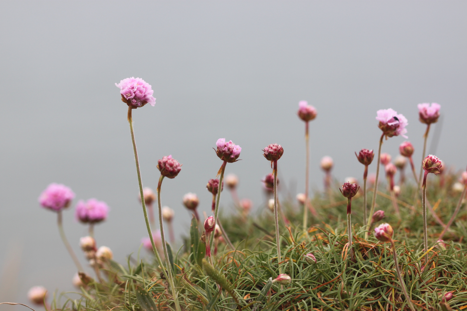
More red sandstone cliffs are climbed and the sea thrift is looking lovely - probably two weeks in advance of the clumps at home.

sea thrift

Skylarks are singing their hearts out. The going from here to past Sidmouth is going to get pretty rough. I pass Danger Point, Coal Beach, Black Head, Poolness Beach and Brandy Head, named after the smuggling activities which were once rife along this coast. I come across the Brandy Head Observation Hut, used in World War II to test aircraft mounted cannon and gun sights.

brandy head observation hut

I pass Twopenny Loaf Rock, Crab Ledge and Smallstones Point before coming across another holiday park at Ladram Bay.

The beach here is pebbly and there is a series of red sandstone stacks out at sea, all that remain of what were once natural rock arches that were once joined to the cliff.

ladram bay

ladram bay stacks

I pass the Three Rocks Inn before continuing along the grassy slopes which give way to a steep climb through the woods of High Peak where I sheltered from filthy rain three years ago. I pass inland of Little Picket Rock, Big Picket Rock, Green Point, Wheel Rock and Tortoiseshell Rocks. I come across a National Trust sign at Peak Hill, where ponies are munching on the grass. There are beautiful wild flowers all over the place.

The path eventually reaches a road which drops in to Sidmouth. I walk down a path to the side of the road where I have lovely views over Sidmouth.

view over sidmouth

I make my way down to the beach at the western end of Sidmouth which is sandy, in stark contrast to the main beach at Sidmouth, which largely consists of pebbles except at low tide. It's rather busy on this fine, sunny Saturday.

sidmouth

I make my way past the wooden steps called Jacob's Ladder at Connaught Gardens and then wander through Sidmouth along the esplanade, passing the various shops, pubs, cafes and restaurants.

jacob's ladder

We're staying in a cottage in Sidbury for the week which is about three miles inland of Sidmouth so it's now time to leave the coast path and head for our home from home. 

The eastern side of Sidmouth is where the original fishing village was based but by the end of the 19th century the fishing trade had declined. Rich people discovered Sidmouth during the Napoleonic Wars and began to visit and settle in the town which explains the large and ornate buildings which now make up the town.

I reach the River Sid and have no idea where I'm going now but figure that if I roughly follow the River Sid I should be OK. I start to head inland and come to a road fording the river but fortunately there's a footbridge over the river so I don't have to get my feet wet.

 I pass a toll house which was built in the early 19th century and once controlled the eastern approach to the town. The original toll gate now hangs next to the toll house.

toll house

toll house gate

I enter Byers Riverside Park and pass several weirs walking along the river valley floor and criss cross the river over bridges on the approach to the village of Sidford, which seems to now be an extension of Sidmouth.

weir

I pass the red bricked St Peter's Church, built in the Victorian era. 

st peter's church

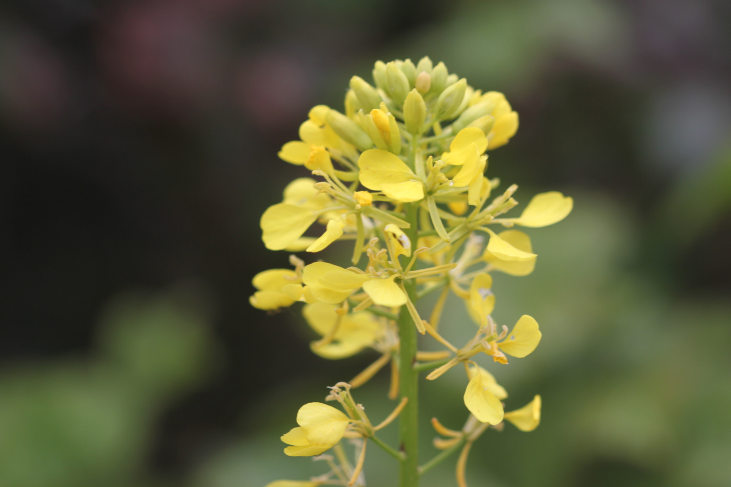
I continue through Sidford and cross the river using a footbridge which was the original packhorse bridge and said to date from around 1100. I then pass the Blue Ball Inn. I now gently ascend towards Sidbury, passing fields of yellow rape.

rape

I turn into Deepway and pass Sidbury's cemetery on the outskirts of the village.

sidbury cemetery

Visible over to my left is a wooded hill now known as Sidbury Castle but earthworks here date from the early Iron Age. I cross another bridge over the River Sid where our cottage for the week sits. I then pass the lovely 18th century cob cottages which line Bridge Street.

cottages on bridge street

I've now reached my destination for the day, Sidbury, so there is just time to visit the rather attractive Church of St Giles, which dates from Saxon times but looks mostly to be Norman and later. There still exists a 7th century saxon crypt under the chancel.

church of st giles

That's my walking done for the day and there's plenty of time to visit the Red Lion pub opposite the church. Hang on a sec! It closes at 3 even on a Saturday!! Good job our fridge is loaded with cool, refreshing bottles of Doombar.

red lion pub

FLORA AND FAUNA

Flora and fauna encountered on the walk today includes :-

  • swifts
  • chaffinches
  • green winged orchids
  • housemartins
  • goldfinches
  • chiff chaffs
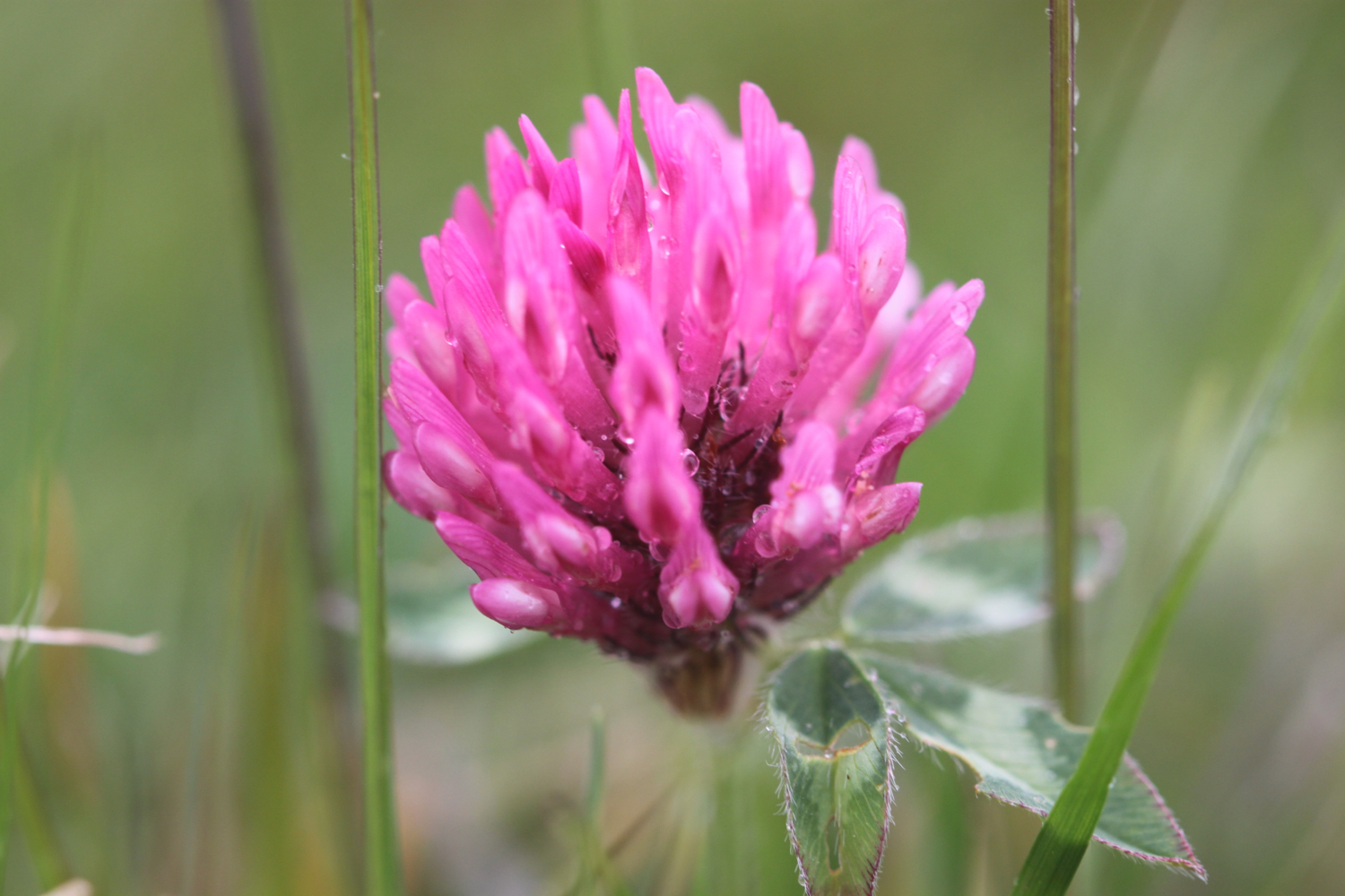
  • clover
  • cows
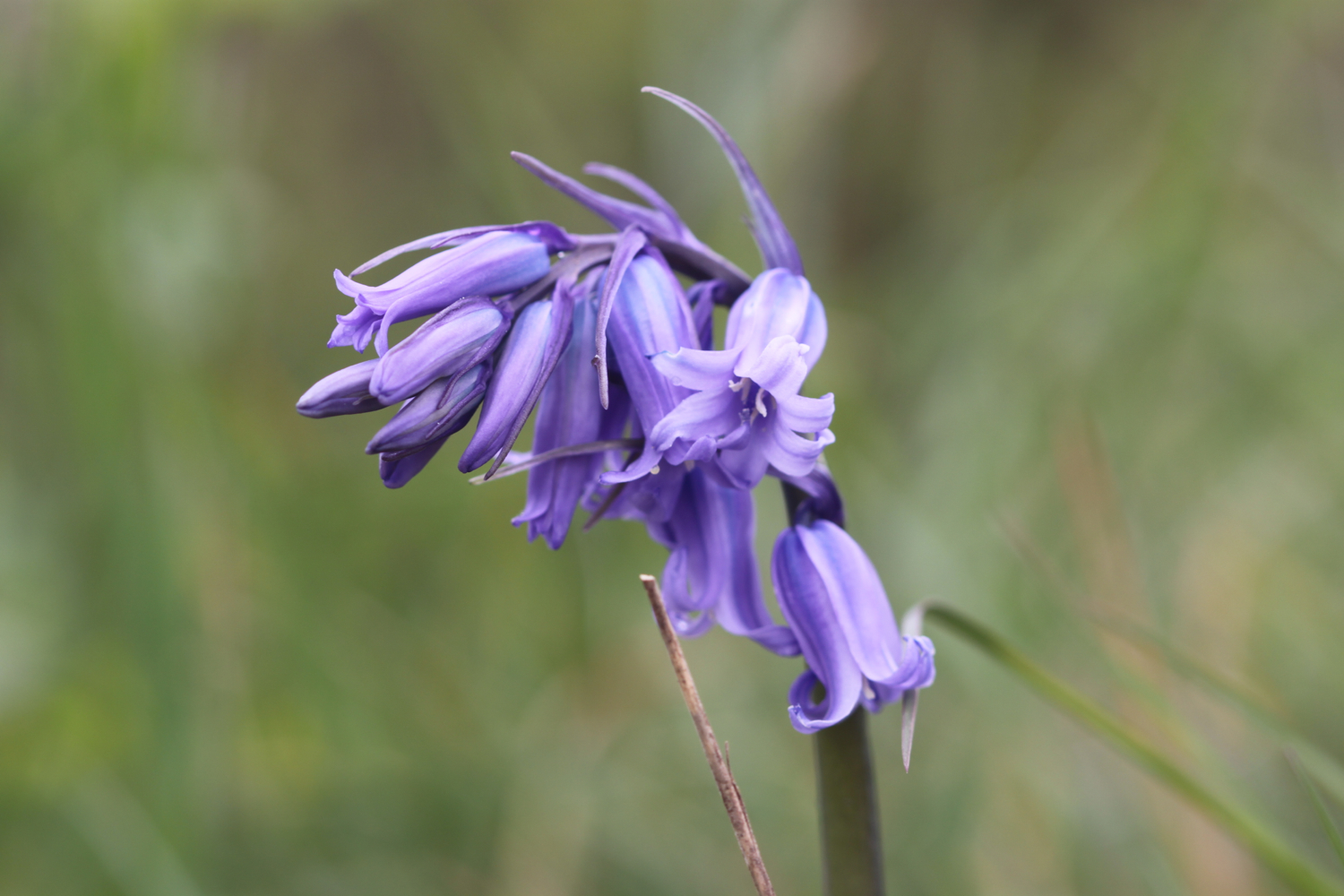
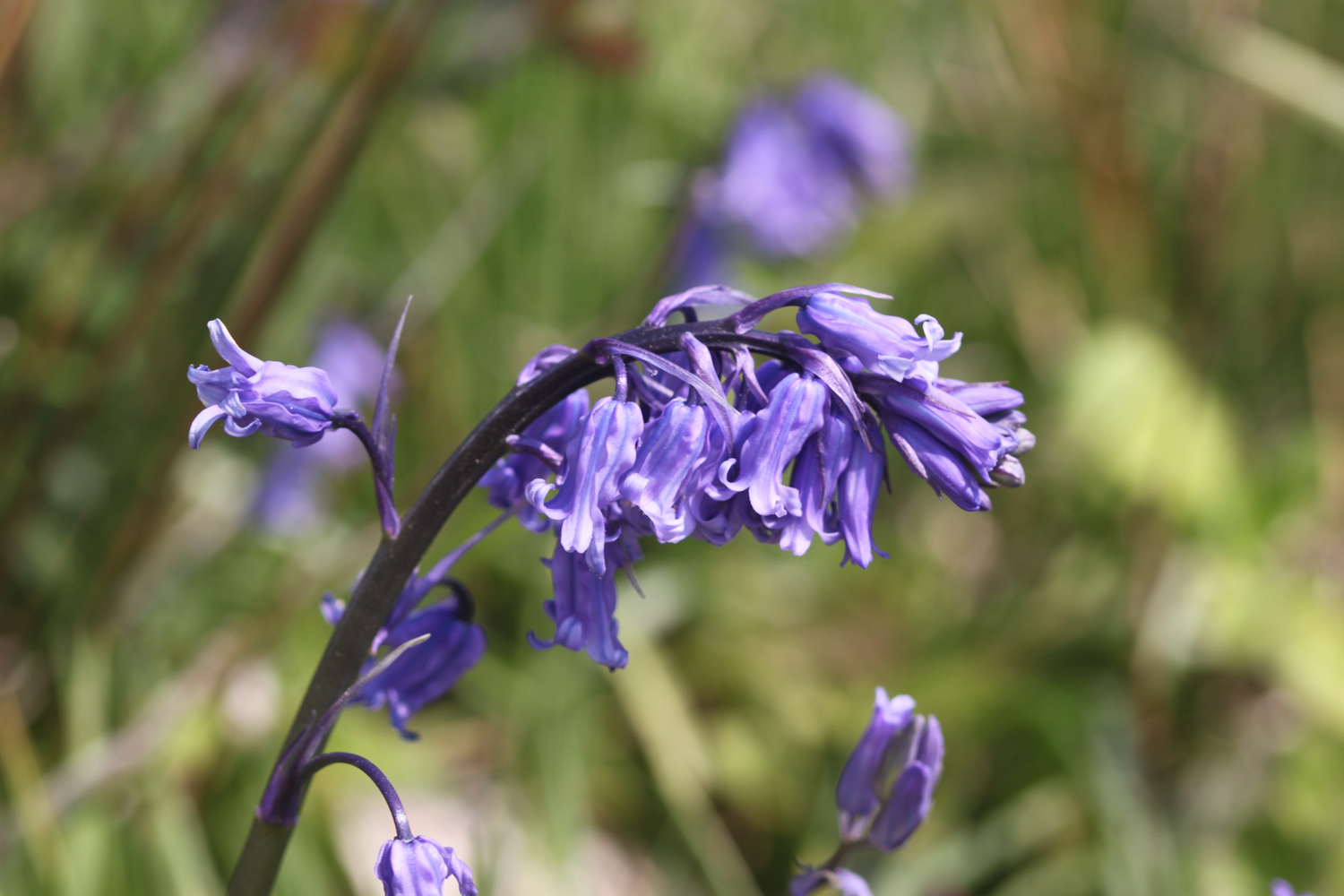
  • bluebells
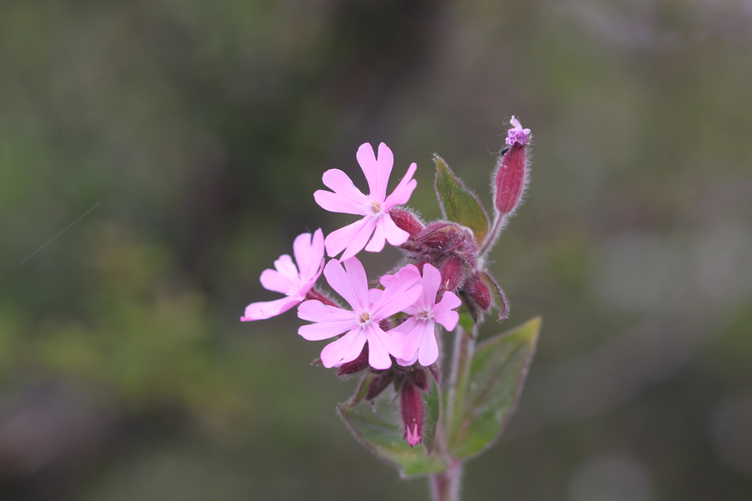
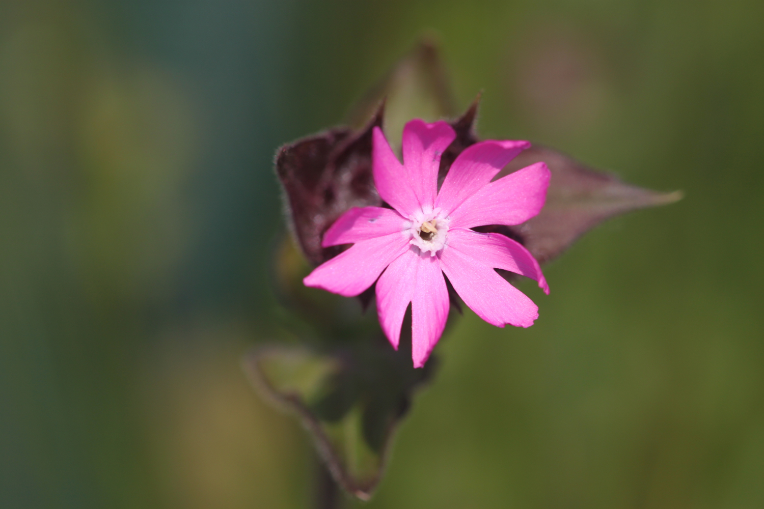
  • red campion
  • beetles
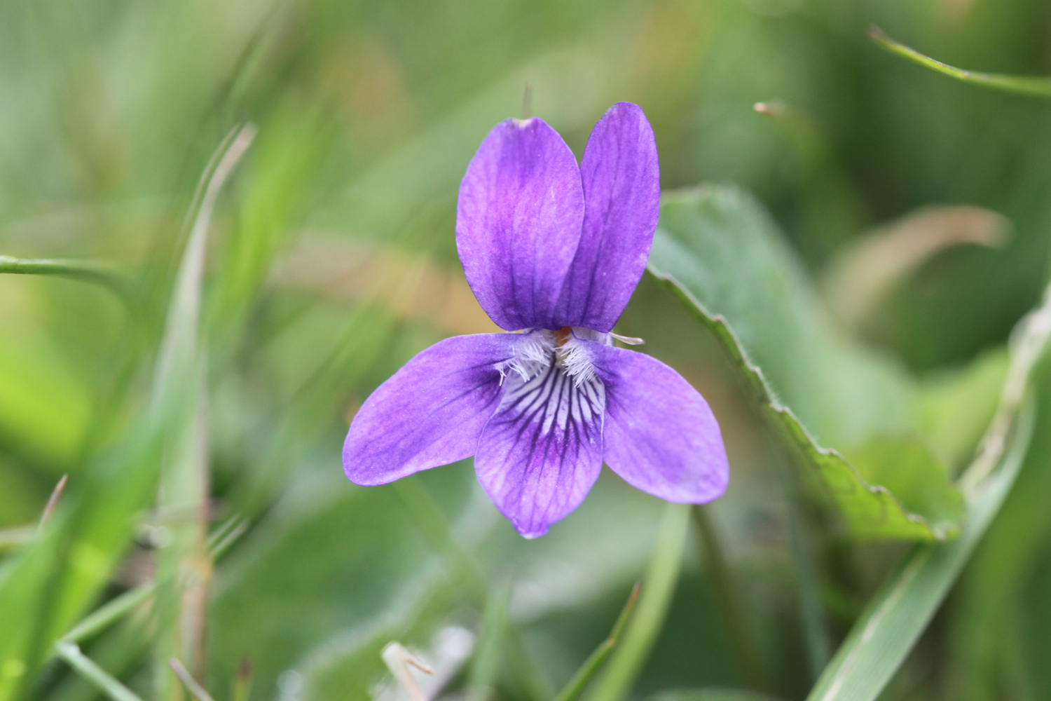
  • germander speedwell
  • lords and ladies
  • sparrows
  • peacock butterflies
  • orange tip butterflies
  • skylarks
  • scots pine
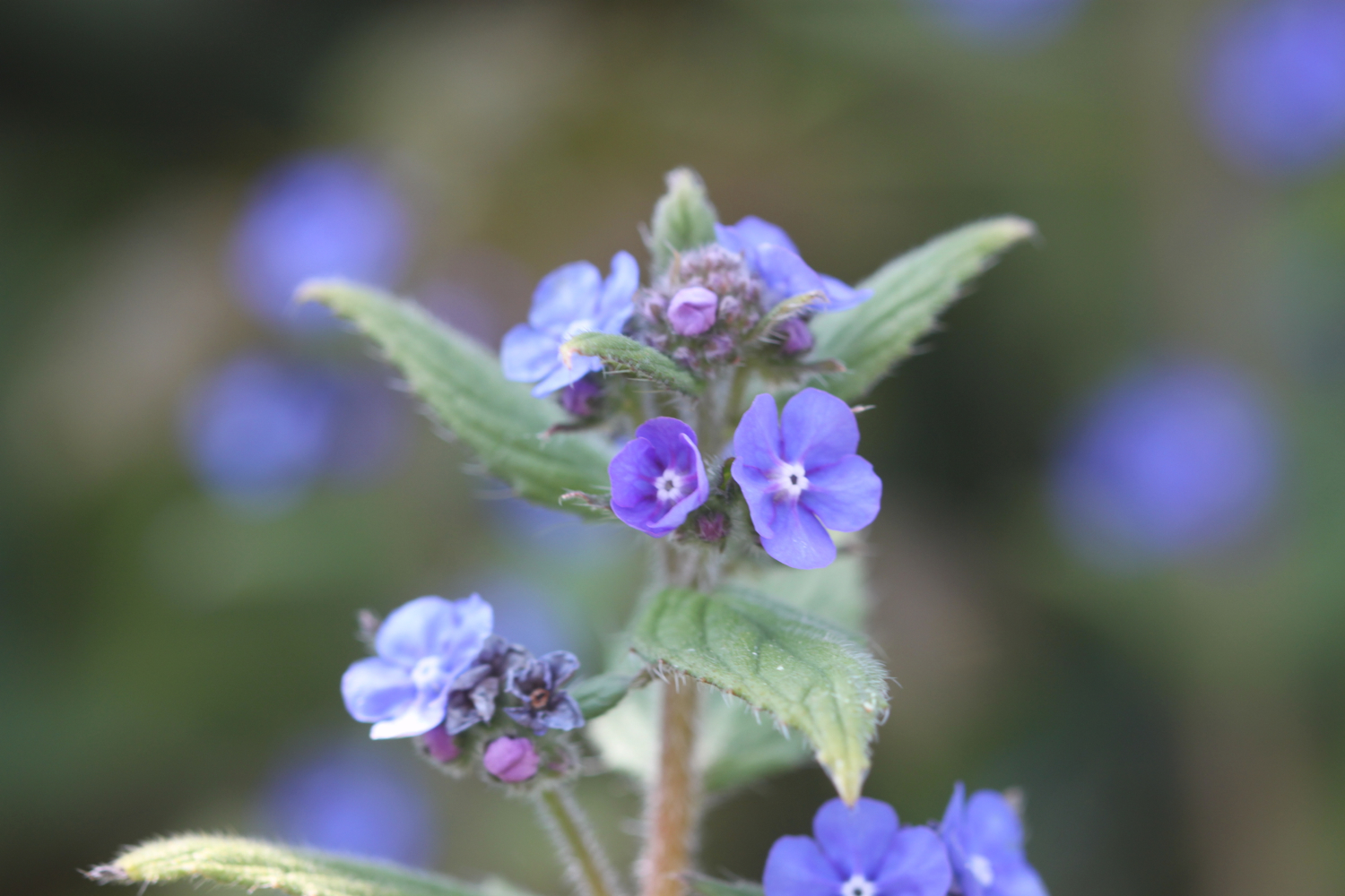
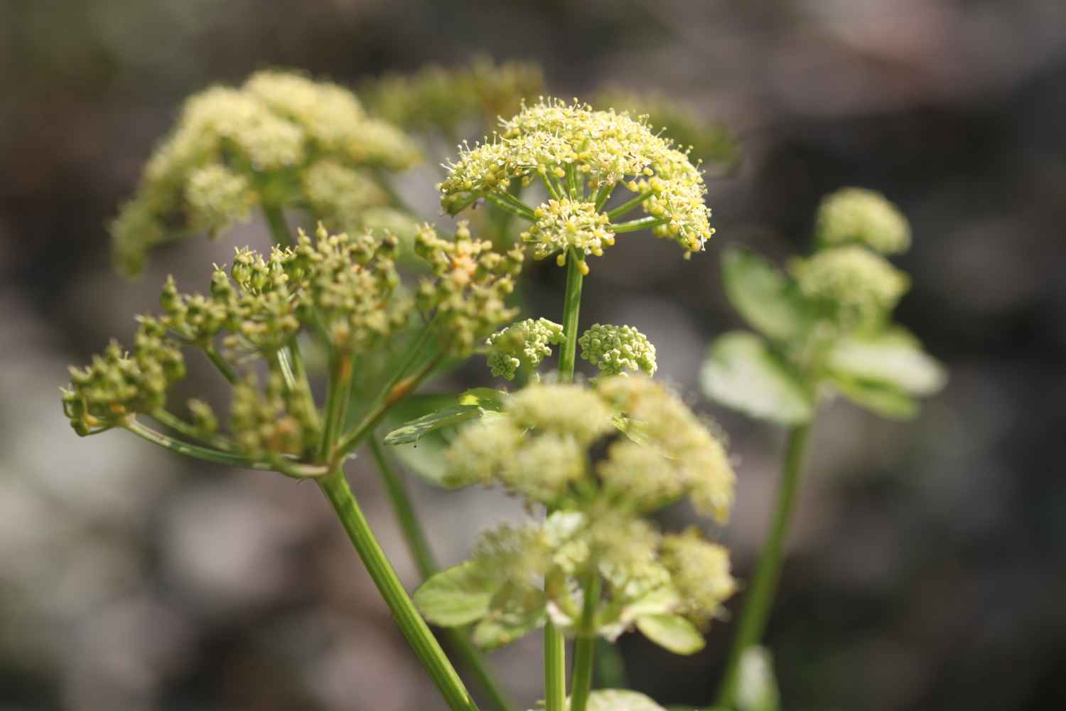
  • green alkanet
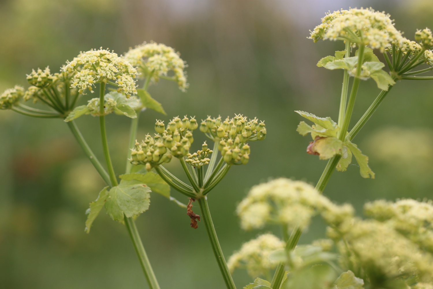
  • cow parsley
  • cuckooflower
  • red admirals

PODCAST

The podcast of today's walk is now available. You can subscribe via the iTunes store or listen using the player below..

MARKS OUT OF TEN?

According to my phone I've walked 17.94 miles today which amounts to 39275 steps. It has been a beautiful first day's walking on the South West Coast Path this year and the weather has been glorious. Well, as glorious as it has been this manky year. Nine out of ten!

My total ascent today has been 693.30 metres or 2274 feet.

video

map

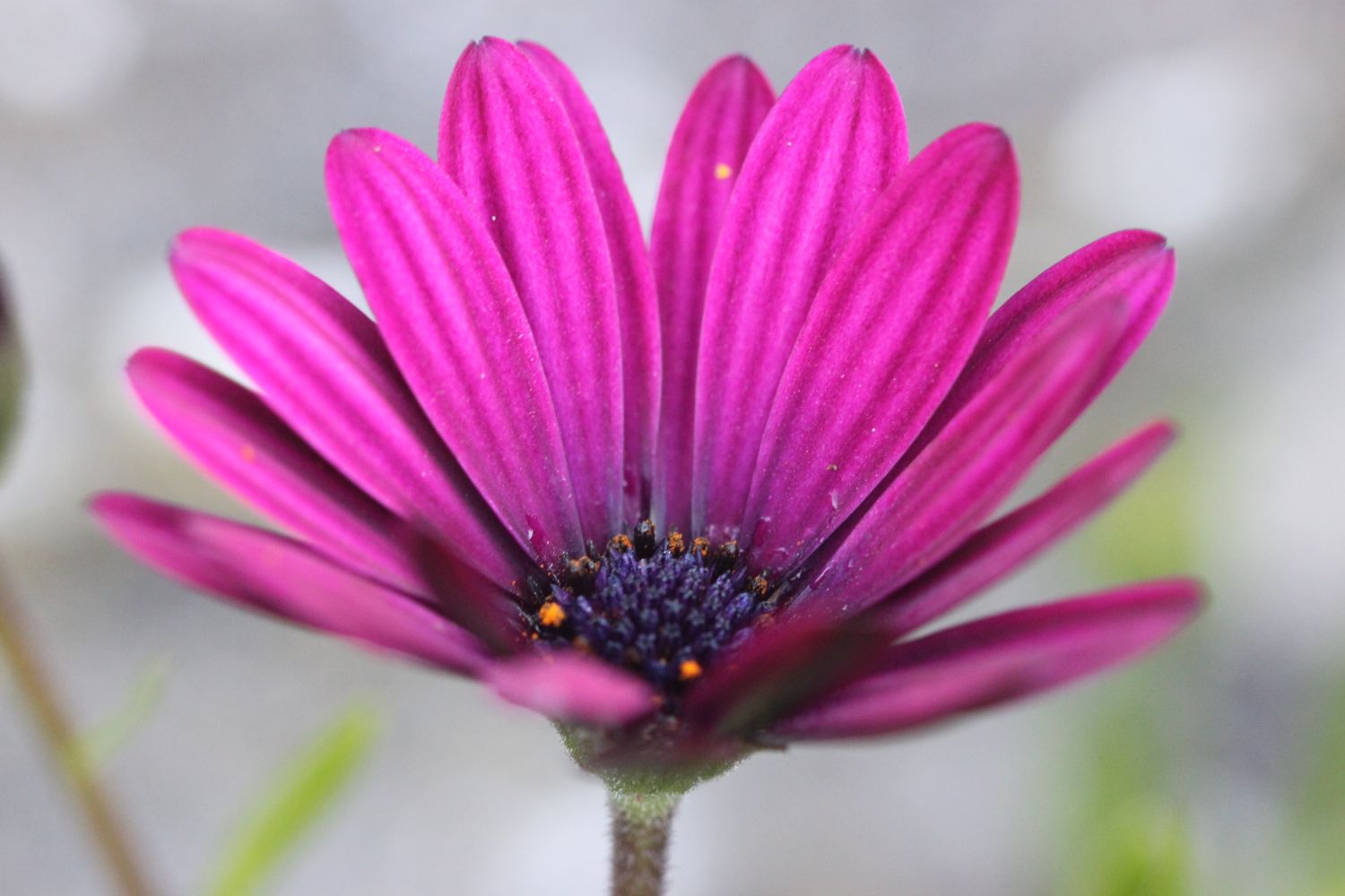
green winged orchid

flushing to flushing, a circular walk

fal estuary

wednesday, 30th september 2015

I have a fifth day of beautiful weather ahead of me today but it might be a bit on the blustery side.

Falmouth low tide 14:10

Falmouth high tide 19:49

My plan is to catch the ferry over to Flushing from Falmouth. On arriving on Prince of Wales pier it seems that the ferry is on a long lunch break and then, due to low tides, won't be running for another hour and a half after that. Which means that the next ferry isn't until 15:15. Bugger! 

Flustered but undeterred I head off on the long walk around the estuary instead, to get to Flushing. I head out of Falmouth along the estuary and through the town of Penryn which is just outside of Falmouth.

I pass the parish church of St Gluvias with Penryn and then head back down the other side of the estuary.

st gluvias with penryn

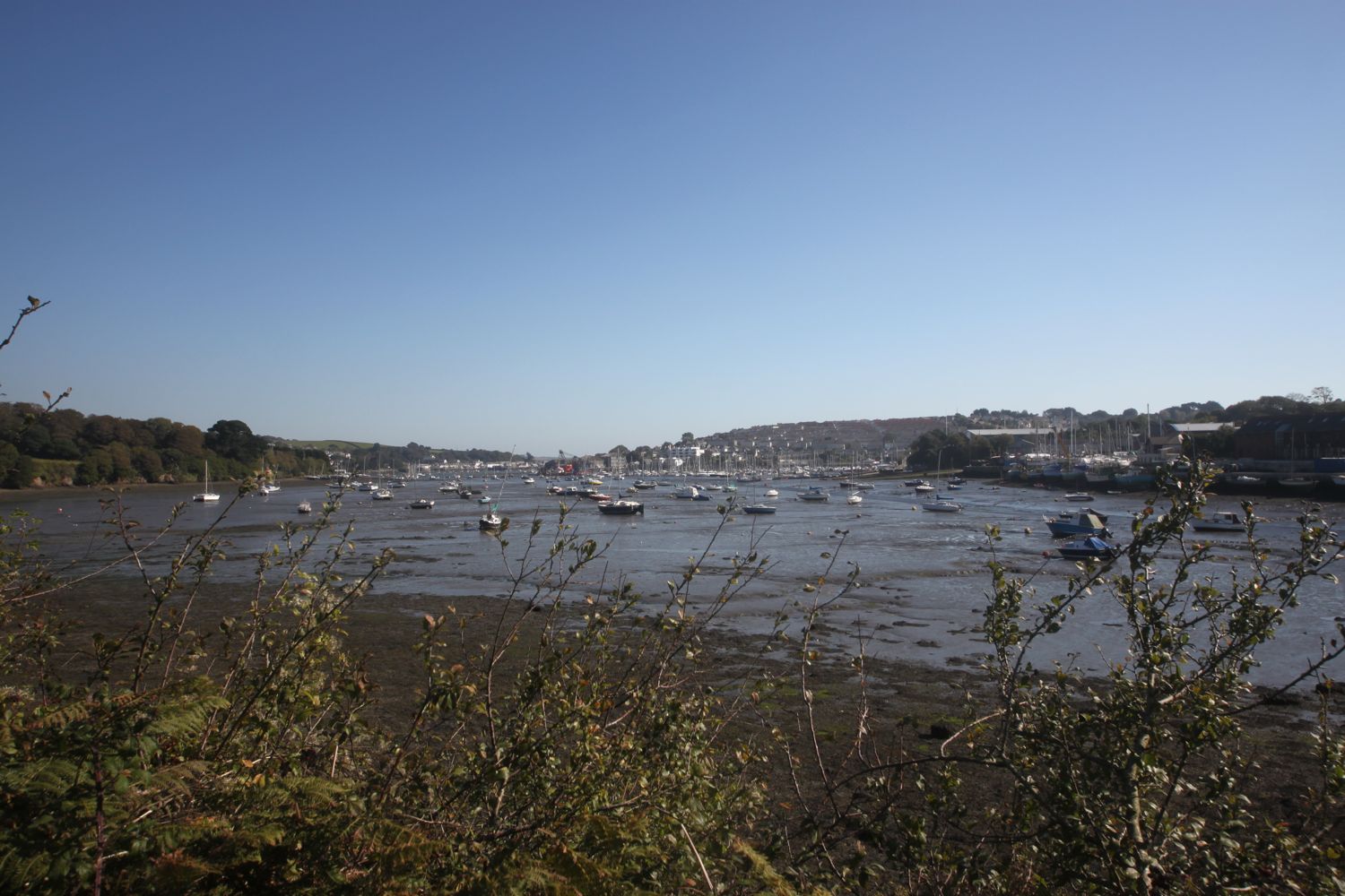
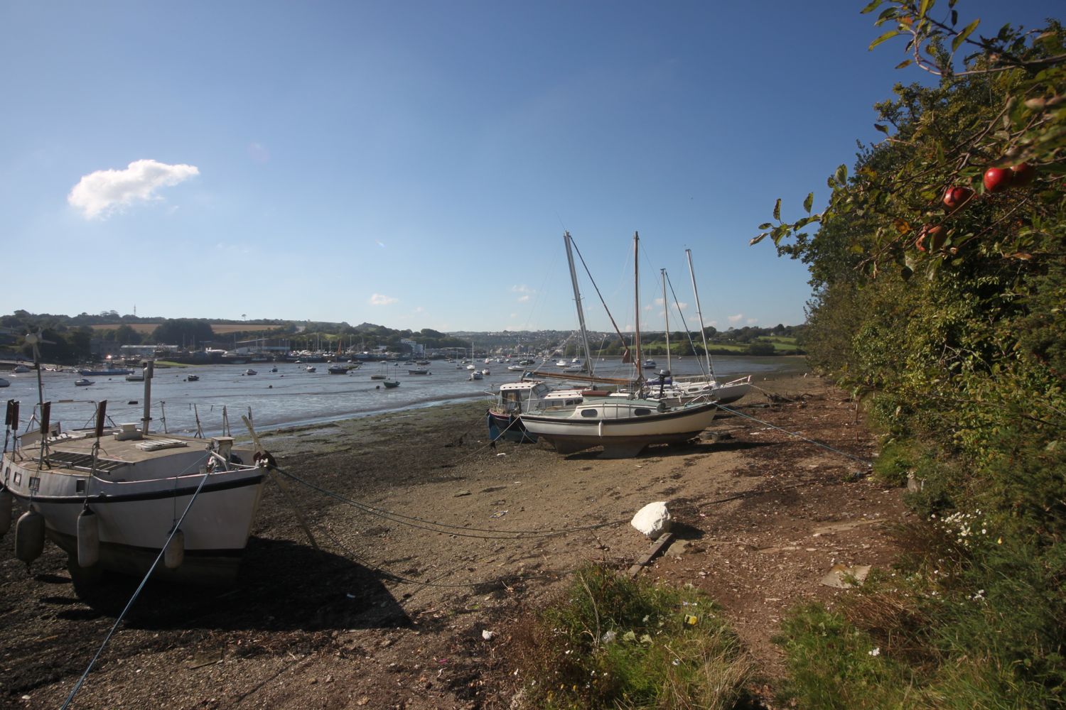
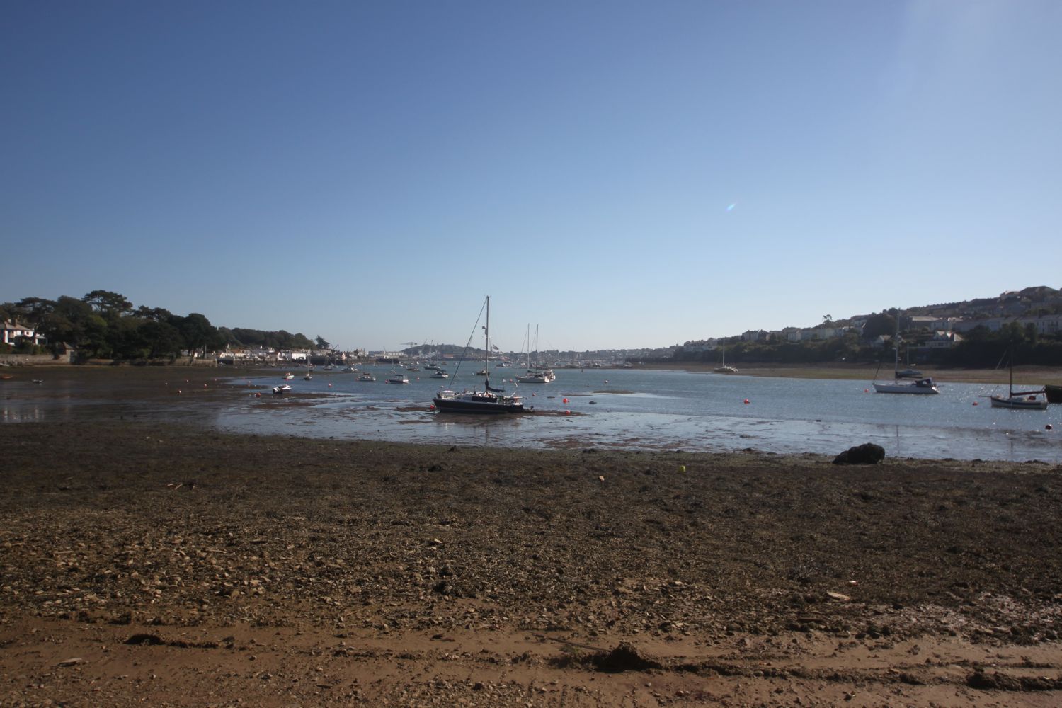
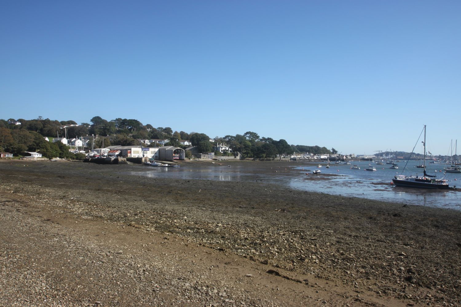
I have lovely views out across the estuary and all of its boats.

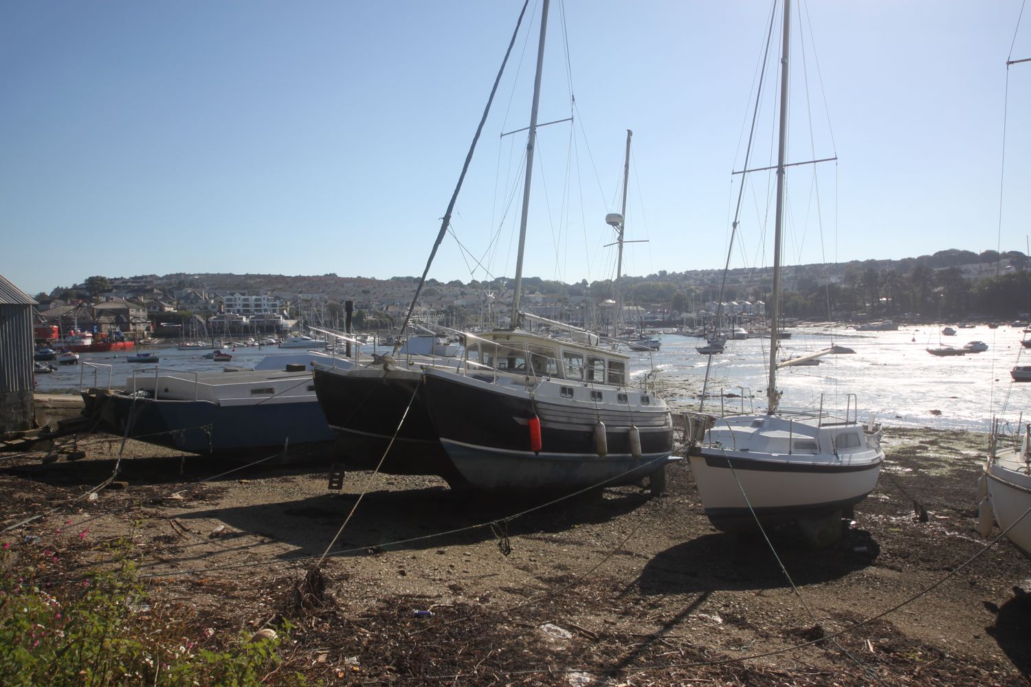
I pass the Falmouth Boat Company boat yard and I'm finally at my starting point for today's walk, Flushing. It must have been something like a four mile detour.

I pass the Royal Standard and The Seven Stars pubs and arrive at the quayside where I'll catch the ferry back to Falmouth later on today. That's assuming they aren't on an extended long lunch break!

I continue along Trefusis Road and pass large houses looking over towards Falmouth.

view over to falmouth

I walk along the coast road and enter Kilnquay Woods, part of the estate of the former manor, Trefusis House. Pneumatic drills are making an awful racket and seem to be being used to renovate a house.

I drop down onto the beach where copper was mined for a short while but extracting the copper proved to be economically unviable. I continue around Trefusis Point, clambering over the rocks until I can't get round any further when I have to retrace my steps slightly to find a whole in the hedge to clamber back on to the low cliff.

I continue along a footpath through open ground. Many buzzards are enjoying the thermals over the woods slightly inland.

I round Penarrow Point and reach Restronguet Sailing Club and suddenly there are yachts everywhere. It's blowing a gale making all the yachts and flags rattle in the wind.

restronguet sailing club

yachts everywhere

Next up is Mylor Yacht Club and there are even more yachts.

mylor yacht club

even more yachts

I briefly visit St Mylor Church next door to the yacht club, a Norman church built in the 12th century.

st mylor church

I follow the road out of Mylor Churchtown and turn down a footpath opposite the upper entrance to the church. I now have views out across Mylor Creek.

mylor creek

I walk along the road with houses either side of me to reach Trelew Creek where I come across some curlews. A signpost points me to the left and I head along the path through woods.

It doesn't feel like the right path but I continue anyway and the path ascends through the woods past sweet chestnuts and finally joins up with the main road.

I turn left at the main road and head straight across at the crossroads to re-enter Trefusis Estate. A signpost points me right into a field where a tractor is flailing the hedgerows and is making an almighty racket.

I head through fields and to the right of a row of houses and I'm now back in Flushing. A short walk takes me back past the Royal Standard and The Seven Stars and I'm now back at the quay where I can catch the ferry back to Falmouth.

I catch the 17:00 ferry back to Falmouth and it's an uneventful 10 minutes journey but then all hell breaks loose!

on the ferry

view back to flushing

My fellow passenger on the ferry has two dogs with her and as she alights from the ferry one of the dogs falls into the harbour water and slips from his lead. The ferrymen try to manoeuvre the ferry so that it doesn't crush the dog against the harbour wall, allowing the dog to swim back to the steps. Fortunately, the dog is reunited with his owner and is none the worse for his misadventures.

I alight the ferry and climb up the steps onto Prince of Wales Pier.

FLORA AND FAUNA

Flora and fauna encountered on the walk today includes :-

  • buzzards
  • cows
  • curlews
  • robins
  • sweet chestnuts

PODCAST

The podcast of today's walk is now available.  You can subscribe via the iTunes store or listen using the player below.

MARKS OUT OF TEN?

According to my phone I've walked 5.95 miles this afternoon (which excludes the diversion from Falmouth) which amounts to 11181 steps. It has been a nice diversion from the usual coast path walking even if the scenery hasn't been up to the usual magnificence and it hasn't exactly been a peaceful walk. Seven out of ten!

mylor harbour

falmouth to helford passage and back again

south west coast path

thursday, 1st october 2015

It's the last walking day of the week and I'm in for another day of beautiful weather. It's hard to believe that it's the first day of October.

Falmouth high tide 08:12

Falmouth low tide 14:50

I start the day next door to the National Maritime Museum Cornwall (@TheNMMC) at Discovery Quay in Falmouth. I'm making an early-ish start so the morning has a distinctive autumnal feel.

discovery quay

welcome to discovery quay

The sea has never been friendly to man. At most it has been the accomplice of human restlessness.
— Joseph Conrad, novelist 1857-1924

This restless man is itching to get going so I walk through Maritime Square and head out towards the coast path. I climb out of Falmouth and head down Gyllyngvase Terrace and then Gyllyngvase Hill and then walk briefly along Cliff Road to reach the delightful Gyllyngvase Beach on the outskirts of Falmouth.

gyllyngvase beach

I catch the beach at close to high tide but it's nothing like the high tides we get back at home in Clevedon. Also, the sea is not a muddy brown colour so I know which one I'd take!

I amble along the sandy beach passing the Gylly Beach Cafe (@GyllyBeachCafe) before rejoining the coast path for the short walk to Swanpool Beach (@SwanpoolBeach).

The beach is covered in seaweed and there are a couple of people out amongst the seaweed, collecting it. I slither my way across the vegetation and then leave Swanpool Beach next to the Hooked on the Rocks restaurant.

leaving swanpool beach

It's now a pleasant couple of miles walk to the third beach of the day, Maenporth Beach, on the way passing a memorial to the Home Guard. I drop down to the beach passing by Life's a Beach, the beach cafe here and walk out on to the sandy beach.

maenporth beach

Maenporth Beach seems to be a bit more exposed to the wind than the previous two beaches and it's quite windy. The position of the sun doesn't make it easy for taking photographs either.

I continue along the coast path and walk below the sub tropical gardens of Meudon Hotel (@MeudonHotel).

sub tropical gardens at meudon hotel

sub tropical gardens at meudon hotel

I head out across Rosemullion Head and then enter woods below the village of Mawnan Smith.

woods below mawnan smith

I leave the woods and suddenly I have magnificent views out towards the Helford River. I walk down a grassy slope to reach the beach at Porthallack. Out over the river there are loads of swallows flitting about. It must be almost time for them to head back to southern Africa.

It is a short walk to Porth Saxon beach where I enjoy the views down the river.

porthallack

porth saxon

I walk under a group of scots pines and then head below Bosloe House along a path through Bosloe Hay Meadows. I usually pass this way around about June time when the meadows look fantastic. They are a lot more subdued at this time of year.

scots pines

bosloe house

The coast path joins a road which leads down into the village of Durgan where I pass the Old School House. I enjoy the beach below Durgan before heading out through the village.

durgan

From here it is easy walking to reach my destination for the day, Helford Passage where I spend way too long wandering along the beach collecting shells.

helford passage

Should you wish, you can catch the ferry from here over to the village of Helford, which I've used on previous walks but not today. I munch on a sandwich below the Ferryboat Inn before it's time to head back in the direction I've come.

I head back below Trebah Garden and pass behind the private beach here using some stepping stones. I spot a dog on the beach down below.

private beach at trebah

dog on a beach

Back again on Durgan Beach a friendly pied wagtail checks me out. I walk back through Durgan and divert from the coast path along a path which takes me down to an unmarked beach on my Ordnance Survey map, but known as Grebe Beach. The beach is not even signposted from the coast path so it's always quiet here.

grebe beach

As per usual, there is just a handful of locals here, most of them enjoying a swim in the river.

On the way back I enjoy the wildflowers but also come across a patch of the dreaded japanese knotweed.

I pass by Maenporth Beach for the last time this week and the tide is much further out than it was earlier on this morning. Conditions are also much easier for photography.

maenporth beach

I say one last farewell to Swanpool Beach which is much busier than earlier and pass a group of kids having a kayaking lesson below the brightly coloured beach huts.

swanpool beach

swanpool beach

I reach Gyllyngvase Beach again and it's time for one final beach farewell. I amble slowly along the beach watching a man cast rose petals across the beach. I've no idea why he's doing this.

You can tell it's the 1st of October and the dog ban has been lifted today as there are dogs everywhere enjoying the beach and the weather. Don't blame them!

gyllyngvase beach

gyllyngvase beach

I head back through the gardens of the Princess Pavillion where I come across a raggedy painted lady feeding on verbena. What a lovely way to end the walk.

gyllyngdune gardens

painted lady

I head back into Falmouth and reach my destination for the day, Discovery Quay, again.

back at discovery quay

FLORA AND FAUNA

Flora and fauna encountered on the walk today includes :-

  • red campion
  • blackberries
  • bracken
  • seaweed
  • grasshoppers
  • hydrangeas
  • fuchsias
  • gunnera
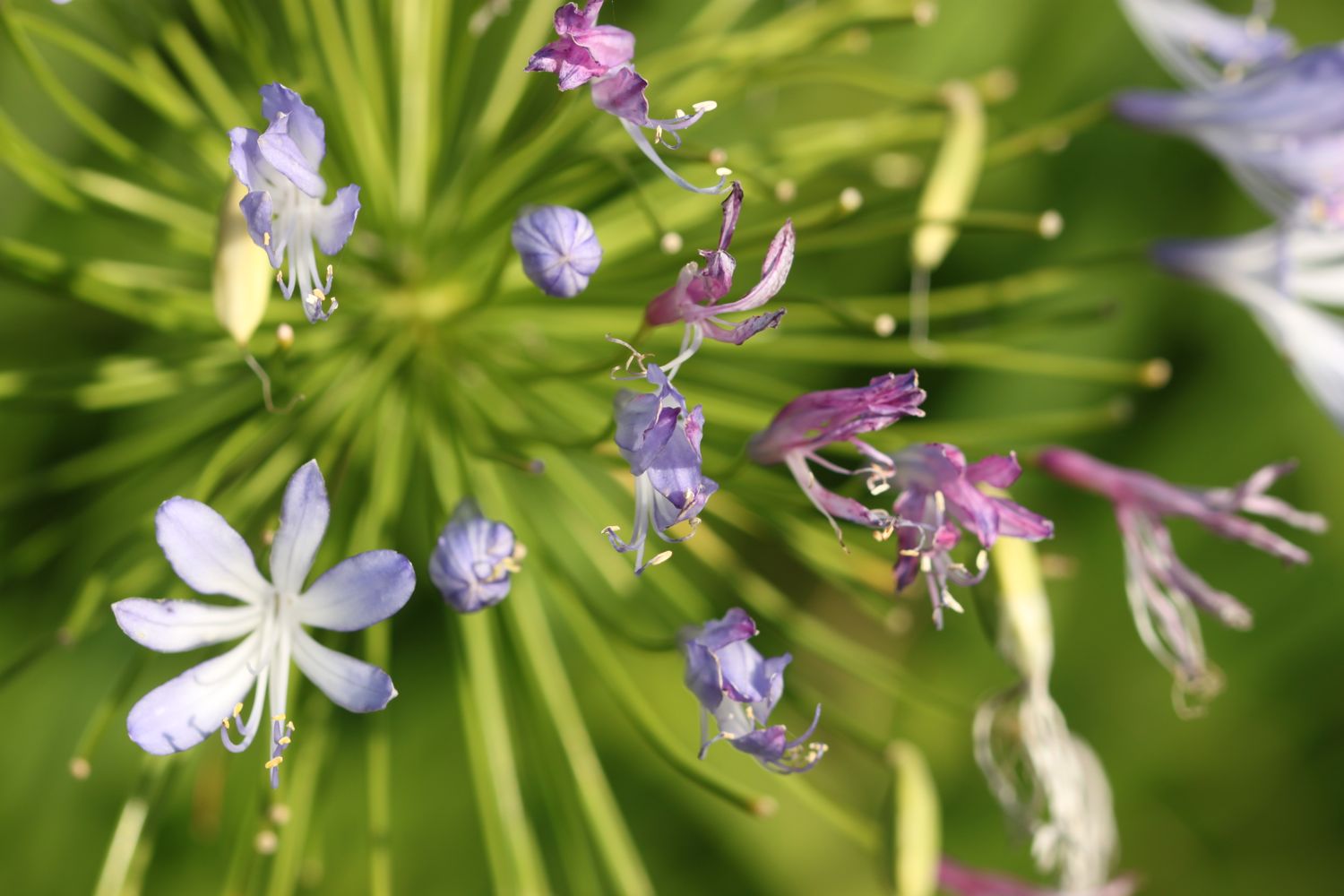
  • agapanthus
  • scots pines
  • speckled woods
  • a small tortoiseshell
  • robins
  • swallows
  • red admirals
  • pied wagtails
  • a painted lady
  • a dog on a beach
  • lots of dogs on beaches
  • verbena bonariensis

PODCAST

The podcast of today's walk is now available.  You can subscribe via the iTunes store or listen using the player below.

MARKS OUT OF TEN?

According to my phone I've walked 16.26 miles today which amounts to 34658 steps. It has been another beautiful day's walking and the weather has been glorious again. Unfortunately, that's the last walking of the week. Nine out of ten!

painted lady

gyllyngvase beach

portloe to mevagissey

south west coast path

sunday, 27th september 2015

It looks like I'll be in for another day of beautiful weather with sun forecast for all day long. Woop!

Falmouth high tide 05:06 and 17:25

Falmouth low tide 11:51

I start the day back at the tiny harbour in Portloe where a fishing boat has landed on the beach full up with a catch. There's no sign of the box of sea urchins I came across yesterday so I just do a quick bit of exploring of the beach.

portloe fishing boat

I enjoy some of the flowers in the village before heading off. The coast path winds its way in between the houses upwards out of Portloe and I have fine views back to the village and down to the fishing boat being unloaded in the harbour..

view back to portloe harbour

portloe

A rugged and fiddly path leads me up and down, up and down all the way to West Portholland. The beach here is sandy, but it is of the grey grit variety unlike the fine, golden sand I've been used to so far. A canoist pulls up onto the beach just as I arrive in the tiny village.

west portholland

The tide is too far in for me to be able to walk across to East Portholland on the beach so I clamber up onto the rocks and walk along the sea wall instead. East Portholland is the larger of the two villages but they are both tiny and there is only a small post office and a tea room here. I don't see the post office but I do pass Pebbles Cafe and Crafts.

the beach at east portholland

I take the road out of East Portholland, passing the last of the cottages and zigzag up a track. I walk across a couple of fields and re-join the road that leads me down to Caerhays Castle on my left and Porthluny Cove on my right.

The castle was designed by John Nash and is a rather vulgar monstrosity! I head for the beach instead which is large and sandy and rather popular.

porthluny cove

I come across a stranded jellyfish on the beach  but, unlike yesterday's starfish, shows no sign of life and there's no chance of me returning it to the water anyway.

jellyfish

I leave Porthluny Cove next to the cafe and head up a steep field where I have fine views back over the beach and the castle.

view back over porthluny cove

A series of fields and woods leads me past Lambsowden Cove and I come across a lone shetland pony chomping on the vegetation. There's no sign of any of his friends.

shetland pony

I continue onwards towards Hemmick Beach where I climb down steps to reach a house next to the beach. I wander out on to the sandy beach and explore the rock pools at low tide. The beach is completely deserted except for a jogger and his dog.

I come across a dead seal on the beach and as I leave the beach some families are starting to arrive.

dead seal

A steep climb gives me magnificent views over Hemmick Beach.

view back over hemmick beach

The climb cotinues, taking me up to a granite cross on the top of Dodman Point, built in 1896 as a seafarers aid for navigation. I have fine views back where I have come from and onwards towards Mevagissey.
granite cross

In the firm hope of the second coming of our Lord Jesus Christ and for the encouragement of those who strive to serve Him. This cross is erected A.D. 1896.

The path continues along fields. bushy paths and scrubby slopes and I pass a flock of black sheep. I have lovely views overlooking Vault Beach.

overlooking vault beach

I take a detour off of the coast path and head down to Vault Beach. The beach here is lovely so I head down to explore it. Although quite close to Gorran Haven it is rather isolated so is never very busy and there's barely a handful of people here.

I head back to the coast path and come across a load of bees heading down into their burrows in the mud. No idea what species they are. The coast path leads me towards Gorran Haven high above the beach and I have lovely views over the village.

overlooking gorran haven

 I climb a cliff and then down steps to reach the harbour at Gorran Haven. I head out to enjoy the  beach which is just starting to get busy.

gorran haven

gorran haven

I walk up Church Street and meander through the village passing the church of St Just and the Mount Zion Church. At what was once the Llawnroc Inn (Gorran Haven no longer has any pubs) I turn right along Cliff Road and leave Gorran Haven behind me.

st just

I pass Perhaver House where a sign informs me that refugees are welcome. I walk uphill onto Pabyer Point and round Turbot Point to reach Colona Beach, consisting of a large area of sand and rocky outcrops. The beach is pretty isolated and therefore deserted, except for some oystercatchers.

colona beach

I round Chapel Point and cross grassy slopes to reach Chapel Point Lane and it's now easy walking to drop down to Portmellon. Sparrows are merrily chirping away to themselves in the bushes. I wander out on to the seaweed encrusted beach before heading back past The Rising Sun Inn and head uphill towards Mevagissey.

seaweed encrusted portmellon

the rising sun inn

Easy walking along roads chock full of hotels and bed and breakfasts takes me to a park with fine views overlooking Mevagissey harbour and it's then an easy walk downhill through roads, unusually not full of tourists and cars, to reach Mevagissey.

view over mevagissey

mevagissey harbour

I explore the shops and harbour here before heading through the village to where my lift awaits at the car park above the village, on the way passing The Kings Arms (@KingsArmsMeva), the Wheelhouse Inn, the Harbour TavernThe Sharks Fin (@sharksfin_meva) and The Ship Inn.

FLORA AND FAUNA

Flora and fauna encountered on the walk today includes :-

  • agapanthus
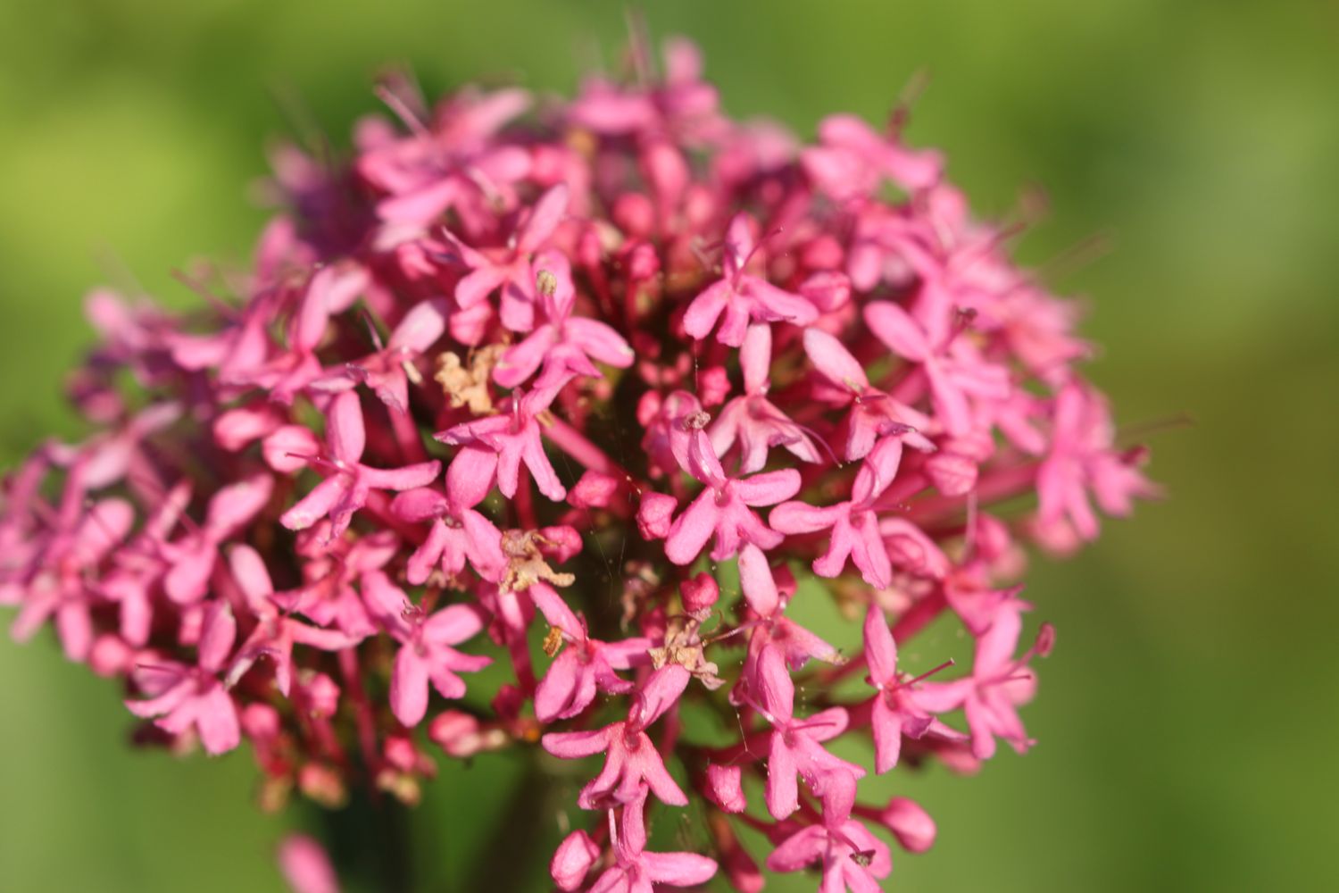
  • red valerian
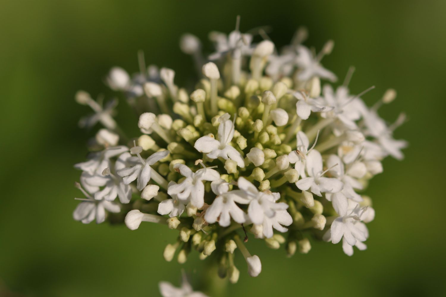
  • white valerian
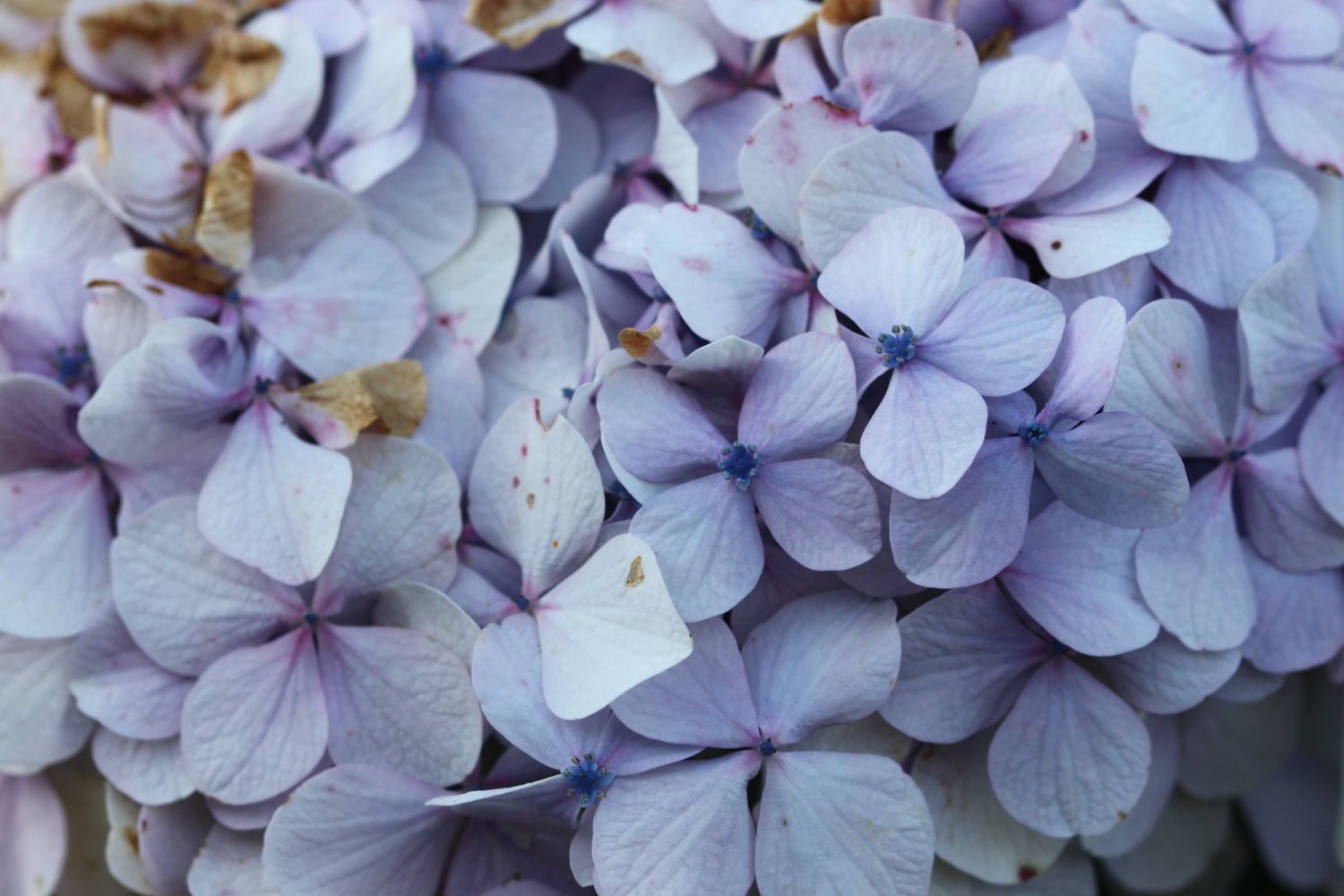
  • hydrangeas
  • crane's-bill (bloody I think but it's late in the year)
  • rosebay willowherb
  • sheep
  • cows
  • jellyfish
  • shetland pony
  • dead seal
  • black sheep
  • mushrooms
  • bees
  • sparrows

PODCAST

The podcast of today's walk is now available.  You can subscribe via the iTunes store or listen using the player below.

MARKS OUT OF TEN?

According to my phone I've walked 13.77 miles today which amounts to 31938 steps. It has been another beautiful day's walking and the weather has been glorious again. Nine out of ten!


portloe to falmouth

south west coast path

saturday, 26th september 2015

For what feels like the first time this year the sun is shining and I have a full week of great looking weather. It looks like I'll have sun all day long and although it doesn't look like it's going to be baking hot, it's late September so I can't really have everything.

Falmouth high tide 04:15 and 16:35

Falmouth low tide 10:57

The ferry from Falmouth to St Mawes doesn't start until 08:30 and the connecting ferry from St Mawes to Place isn't timed very well so I decide to start the day at Portloe rather than Falmouth and I'll make my way back along the coast to finish at Falmouth.

I start the day at the car park high above Portloe and wander down the road, photographing the flowers as I go. 

I reach the tiny beach and fishing harbour at the bottom of Portloe after passing the charming granite cottages on the way down and then the Lugger Hotel (@TheLuggerHotel).

portloe

I come across a box of sea urchin shells and, although it's completely impractical to carry so large a shell back to Falmouth, I buy one anyway (£3 in an honesty box) and rearrange my bag so that I can just about cram it in my side pocket.

sea urchin

I spend way too long enjoying the sun in the harbour before setting off on the gorse and bracken covered cliffs out of Portloe. I have fine views back  across Portloe.

looking back across portloe

I come across a compliant red admiral butterfly and speckled wood butterflies and the wild flowers and berries, even this late in the season are looking lovely.

red admiral

I round Manare Point and reach the rocky shore at Parc Caragloose Cove. I enter some woodland and then climb a long, grassy slope before rounding Blouth Point. I come across sheep a-plenty.

sheep

I'm now above the bouldery Kiberick Cove and out to sea I can see Gull Rock.

looking back over kiberick cove

gull rock

I continue along the gorse covered slopes passing Horse Rock, Lemoria Rock and Haine's Rock to reach Nare Head where I have magnificent views across Gerrans Bay towards Carne Beach and Pendower Beach.

For the first time today I come across a couple of people near to the bridge at Tregagles Hole. It looks like they might be set for a day of bird watching.

I pass Shannick Point, Malmanare Point and Pennarin Point and the views over Carne Beach and Pendower beach are lovely. The cows don't seem to appreciate it though.

carne beach

cows over carne beach

I drop down onto Carne Beach, a fine south facing sandy beach. The tide is out so I amble along the beach and cross into Pendower Beach.

carne beach

carne beach

walking across pendower beach

dogs on pendower beach

I come across a stranded starfish on the beach and so take him (or her) back down to the water. I hope the little fellow survives.

I head off of the beach using a slipway and pass by what was once the Pendower Beach House Hotel but is now a sad looking wreck of a building. Several attempts have been made to redevelop this site but all seem to have failed.

pendower beach house hotel

I climb out of Pendower Beach via the road and have magnificent views back over the beaches.

view back over pendower beach and carne beach

The path takes me out on to Treluggan Cliff where buzzards are enjoying the thermals and there are Dartmoor ponies chomping on the vegetation.

dartmoor ponies

I continue along the coast path to reach Porthbean Beach and I climb down some steps to reach the beach. I amble along the sand pondering on the forces that were at play to create the near vertical sedimentary rock strata before leaving the beach via some wooden steps.

porthbean beach

rock strata on porthbean beach

The path leads me past the National Coastwatch Station on Pednvadan Point and I now have magnificent views over towards the village of Portscatho.

national coastwatch station

I drop down to Porthcurnick Beach which is surprisingly busy. Here can be found the Hidden Hut (@thehiddenhut) beach cafe.

porthcurnick beach

the hidden hut

I cross the beach and climb up some steps where I have lovely views back across the beach.

view back across porthcurnick beach

It's now a short walk to head in to Portscatho, home of cricket. I walk through Portscatho along North Parade and drop down to explore the beach.

portscatho

I explore the village a little bit, finding the Plume of Feathers. It's a lovely place but it seems to be overrun with cars nowadays.

plume of feathers

I leave Portscatho behind, passing a lovely garden on the outskirts of the village, pass through a newly planted wood and walk through a field full of bales of hay.

portscatho garden

I amble along the cliffs to reach Towan Beach where I enjoy the sandy beach. 

On leaving Towan Beach I come across a wreck post, erected by the coastguard service and used to simulate a ship's mast in training exercises.

the wreck post

I round Killigerran Head and Porthmellin Head and continue along the path above Porthbeor Beach before rounding Zone Point. I thought that Porthbeor Beach was supposed to be inaccessible but, tantalisingly, I think I can make out footprints in the sand. 

porthbeor beach

I pass the 19th century battery on St Anthony Head and then head down towards St Anthony's lighthouse, built in 1835. After leaving the lighthouse I have magnificent views over to St Mawes and Falmouth in the distance.

19th century battery

I round St Anthony Head and come across some grasshoppers chirping away before passing a clump of Scots pines where I can admire the view over to St Mawes.

scots pines

view to st mawes

I head through woods to reach St Anthony's Church, where I explore the churchyard. I pass some beehives and the rather modest Place House.

beehives

st anthony's church

I pass some lillies in Place which apparently keep getting nicked and I've just about reached the end of my walking for the day so I wait for the ferry to St Mawes at Toddy's Steps. I catch the 15:15 ferry over to St Mawes and the ferryman says that I can buy a combined ferry ticket at the ticket office in St Mawes. It's a thoroughly pleasant 5 minute trip.

catching the ferry at place

st mawes

I leave the ferry and purchase my £9 combined ticket and then wait for the connecting ferry to take me back to Falmouth. I catch the 15:45 ferry and it's now a pleasant 15 minute journey to my destination for the day, Prince of Wales Pier in Falmouth.

ferry ticket

prince of wales pier

view from prince of wales pier

It's now a short walk through the busy streets of Falmouth to return to our cottage for the week in Port Pendennis.

FLORA AND FAUNA

Flora and fauna encountered on the walk today includes :-

  • large flowered evening primrose
  • red valerian
  • fuchsias
  • gorse
  • bracken
  • red admirals
  • speckled woods
  • red campion
  • bladder campion
  • herb robert
  • crocosmias
  • blackberries
  • rape
  • elderberries
  • hydrangeas
  • sheep
  • mushrooms
  • cows
  • starfish
  • dartmoor ponies
  • buzzards
  • red hot pokers
  • scots pines
  • robins
  • grasshoppers
  • lillies
  • bees
  • cormorants

PODCAST

The podcast of today's walk is now available.  You can subscribe via the iTunes store or listen using the player below.

MARKS OUT OF TEN?

According to my phone I've walked 16.85 miles today which amounts to 36482 steps. The walking has been fantastic and the weather has been glorious. Ten out of ten!

Both of my GPS apps failed me today so I've only got two incomplete maps of the walk.