teignmouth to exmouth

south west coast path

tuesday, 13th september 2016

My weather app is showing me the oddest forecast I've seen in a while. It seems to think it will be 22 degrees, sunny, thundery, rainy and with very little wind. Make up your mind! I wake up early to find thick fog blanketing South Devon. Who knows what today is going to bring.

Exmouth Dock low tide 10:10

Exmouth Dock high tide 16:39

I start the day back on the beach at Teignmouth. It's fair to say that it's not the most exciting walking today with most of the day spent walking along sea walls or flat paths next to the railway but at least I'll finish the day on the ferry over the Exe estuary to Exmouth and back.
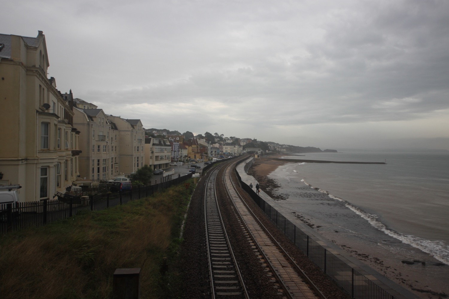
teignmouth

The cliffs to my right are still shrouded in fog but the weather out to sea is starting to brighten up.

I walk along the beach and under Teignmouth Grand Pier (@TeignmouthPier), built in 1865 by an engineering consultant from London called Joseph Wilson. The pier suffered badly in the storms of 2014 and was closed for six months but is now almost fully open again.

teignmouth pier

I head up on to the esplanade before continuing along the beach below Teign Corinthian Yacht Club where I have a decision to make as to which direction to take. The last time I was here the weather was filthy and forced me inland but today the tide is far enough out and so passive as to not cause me any problems so I head up the slipway and along the sea wall next to the railway.

This section of the railway was severely damaged in the storms of 2014 and was shut for two months but has now been reopened after being rebuilt at a cost of £35m.

teignmouth sea wall

It's easy walking along the sea wall and I have the odd runner, walker or dog walker for company before  reaching the beach beneath Shag Rock at Holcombe and from here I pass under the railway and walk up Smugglers Lane to reach the main road at Holcombe Cross.

shag rock

railway at holcombe

I continue along the main road before a rather worn sign points me down Windward Lane and I then follow paths next to fields with fine views over Dawlish and towards Exmouth.

view over dawlish

I pass some fellow coast path walkers heading in the other direction and suddenly there is a burst of thunder followed by several other bursts. We are surrounded by thunderstorms. This does not bode well!  

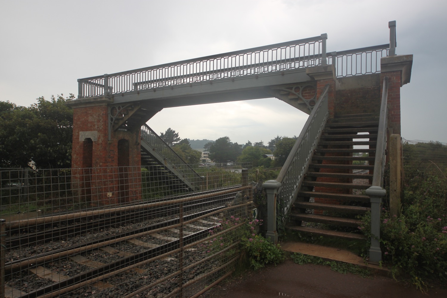
I climb down steps and then over a footbridge over a stream by the railway before climbing up steps to meet the main road. I turn right and walk along a quiet road which used to be the toll road into Dawlish. It has started raining heavily so I reluctantly don my waterproofs. I head down a path and come across a viewpoint overlooking Dawlish. 

thunderstorms over dawlish

I climb down steps towards the railway line and then head along the footpath next to the road into Dawlish. In Dawlish I head under arches beneath the railway so that I can explore the sandy beach. At least I would have done if it wasn't chucking it down. Instead I shelter under the railway arches with several other people and rearrange my equipment so that it's more waterproof.

dawlish beach in the rain

Coast path signs are non-existent but I head inland slightly behind the railway station and follow a path out of Dawlish signposted a bit too late for the coast path. Some signs here warn me that this path will be closed for 5 days either from the 5th of September or the 15th of September, it's hard to tell they are so rubbish. Either way it shouldn't affect me. Sure enough though I come across fresh tarmac and a blocked path.

The blockage is rubbish though and I can easily get through.

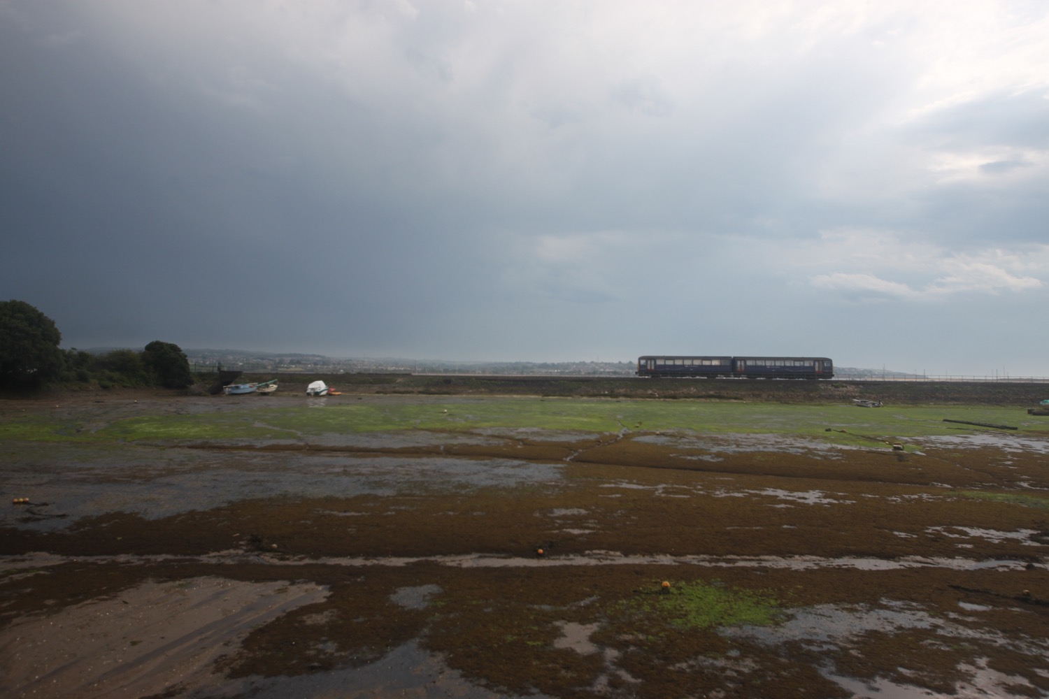
I cross a bridge over the railway and follow the sea wall out of Dawlish. It's now very easy walking on the sea wall parallel to the railway. It's a very uneventfull walk with dog walkers, runners and trains for company. Thunderstorms continue to rage out to sea.

a damp dawlish sea wall

I pass the closed and rather forlorn Red Rock Snack Bar at Langstone Rock and cross a footbridge over the railway and follow a road through Dawlish Warren, passing the many holiday parks.

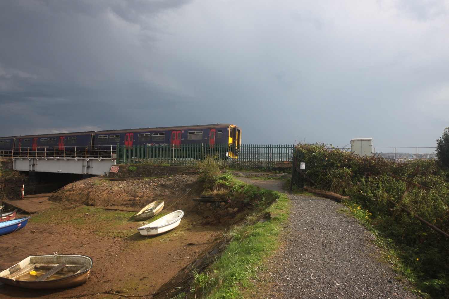
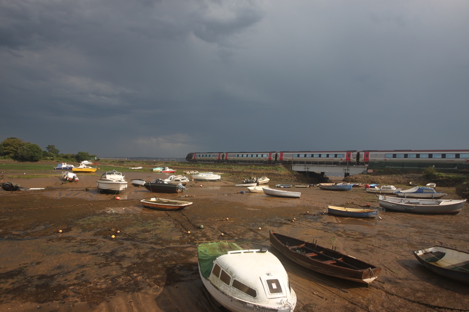
Trains continue to pass me in either direction along the railway and I now have an uneventful walk along the Exe Estuary Trail. Although thunderstorms surround me it is definitely starting to brighten up so i remove my waterproofs and strap them back on to my bag.

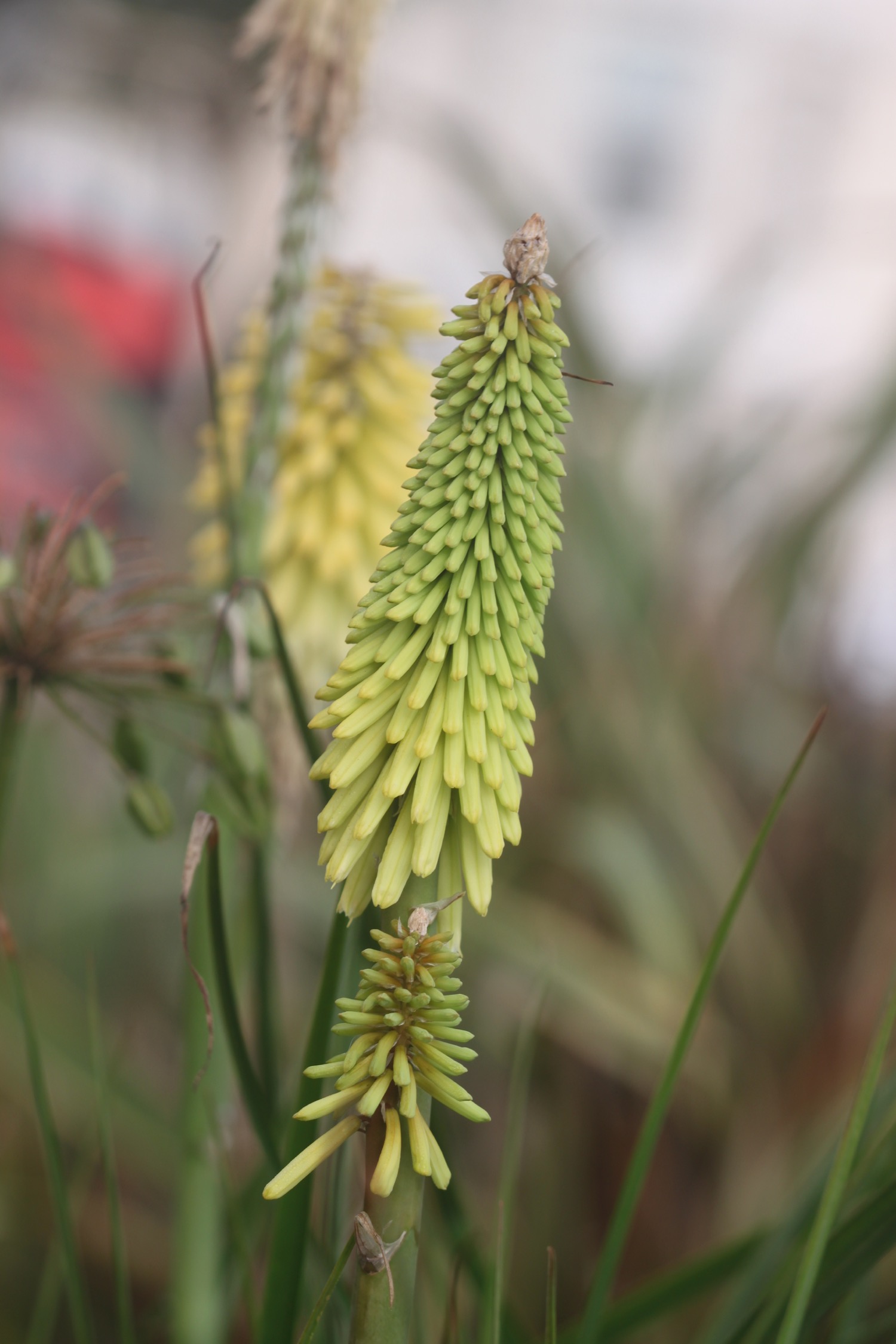
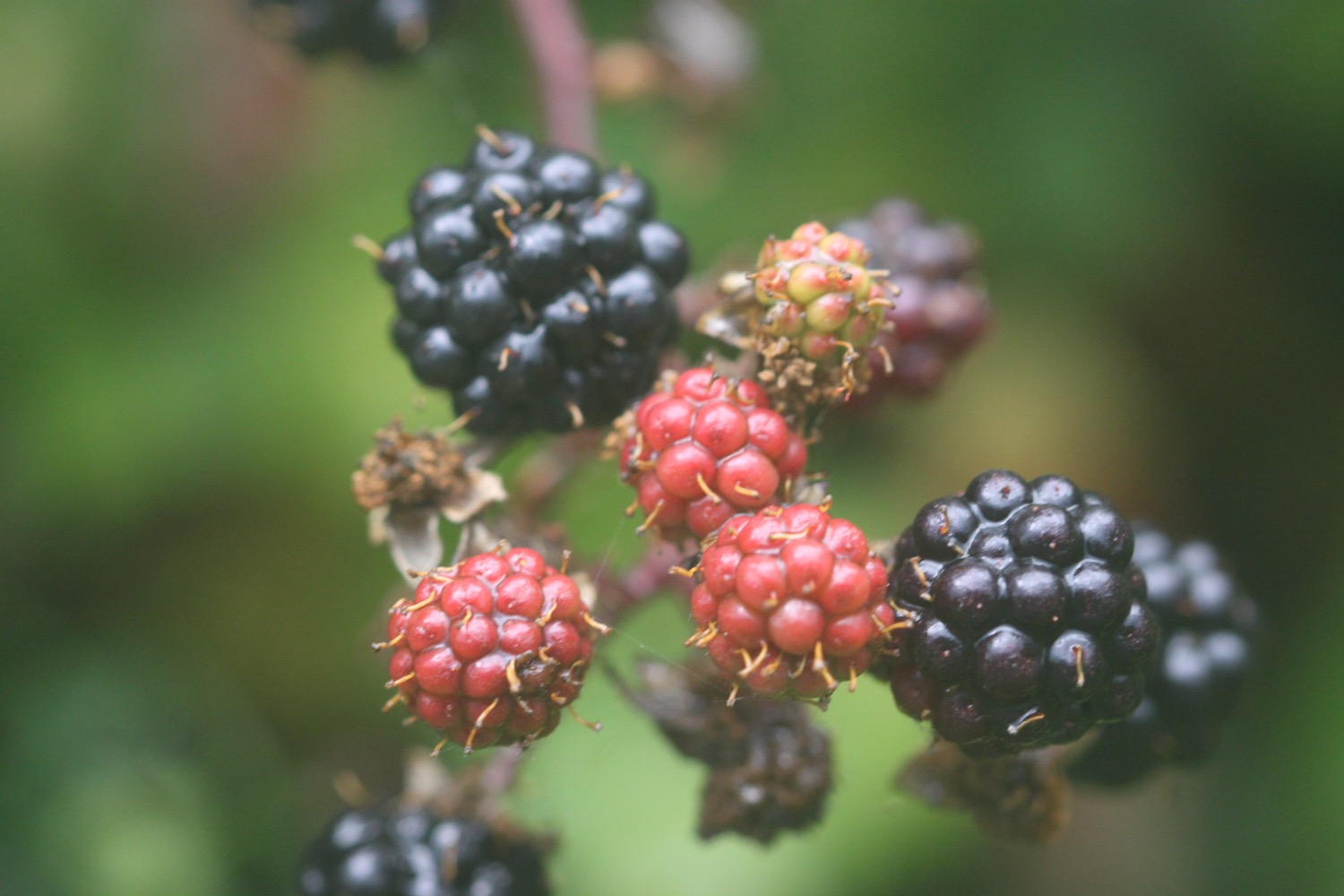
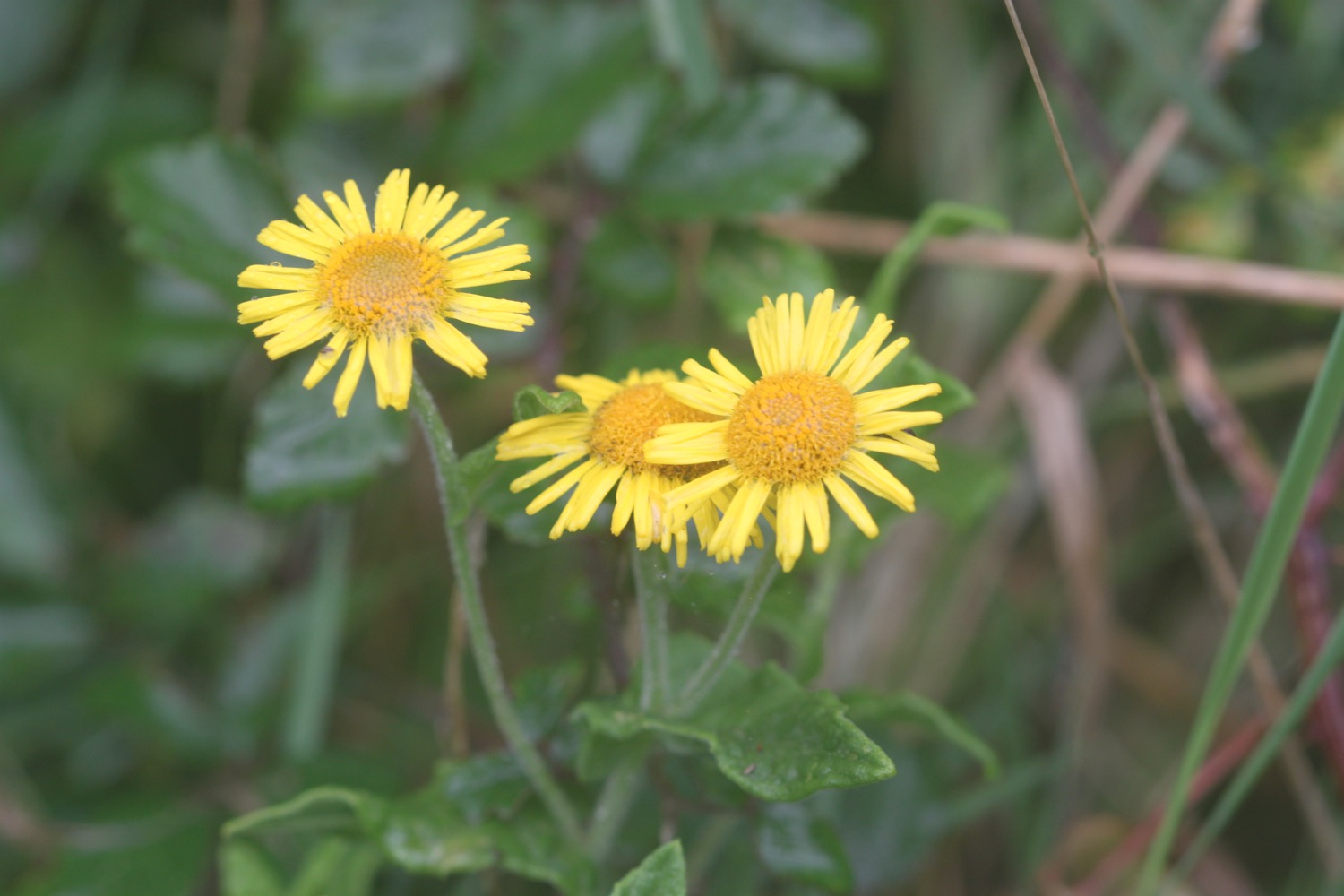
I wander along the trail photographing the flowers and berries although my camera is struggling to focus properly in the damp and dreary conditions.

I round the harbour at Cockwood where trains continue to thunder by and pass the Anchor Inn.

harbour at cockwood

anchor inn

I cross the busy main road and a footway takes me to towards Starcross. Several E-type Jags pass me travelling in the opposite direction. I pass Oak Meadow Golf Club, a boarded up and for sale Starcross garage and then the Galleon Inn. 

galleon inn

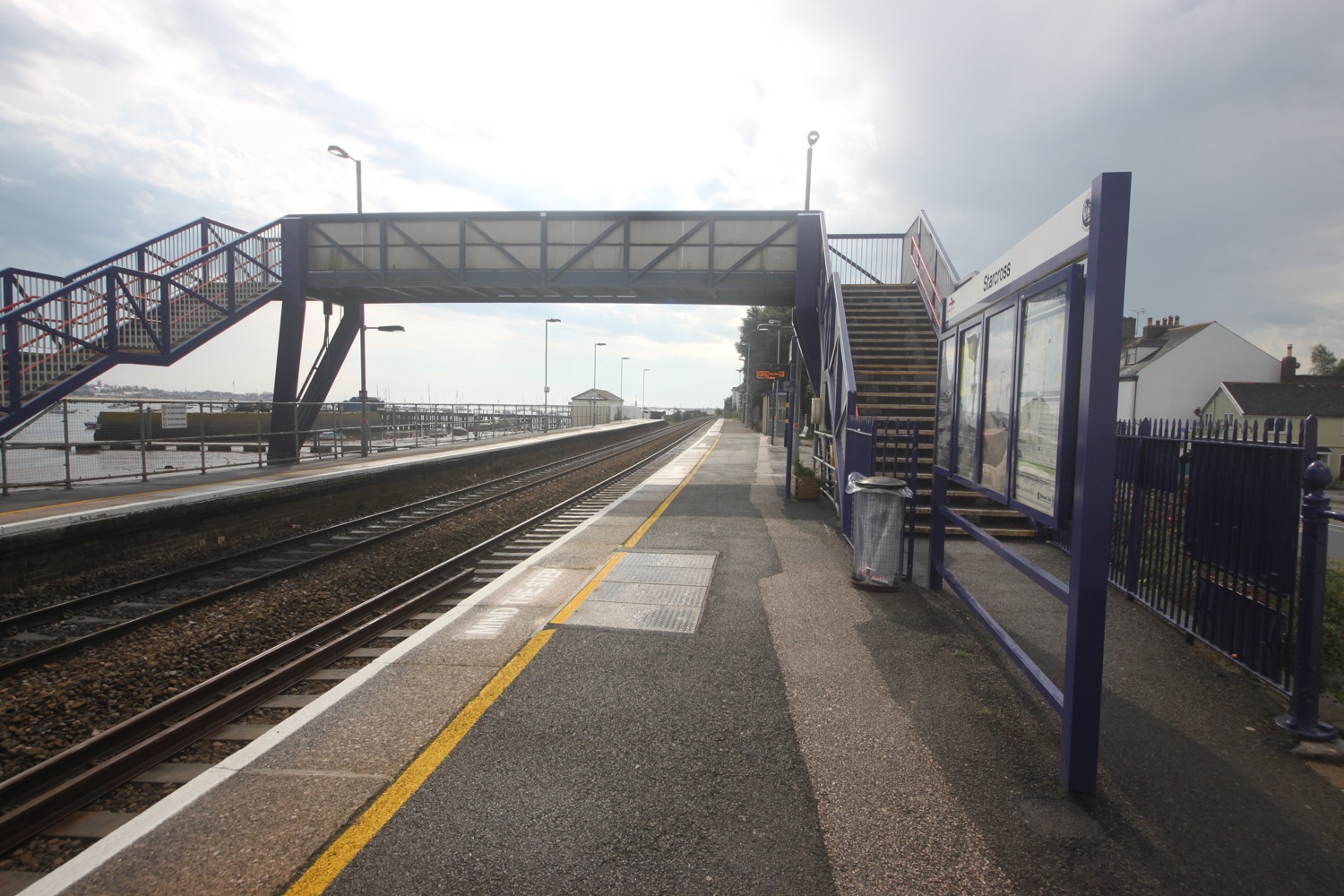
I cross the road and head through the railway station and a footbridge over the railway takes me down to the wooden pier where I can catch the Starcross Ferry over to Exmouth. I've missed the 11:10 ferry by 20 minutes but I'm in plenty of time for the 12:10.

starcross railway station

After a 30 minute wait the ferry arrives and I pay my £5.50 return fair. The journey over to Exmouth takes about 15 minutes and a shower of extremely cold rain passes over the ferry in the middle of the river. I then wander around for a bit before taking the ferry back over to Starcross. The journey over the River Exe and back all seems a bit pointless but I like ferries!

river exe at starcorss

starcross ferry

heading back to starcross on the ferry

It's now time to get my lift back to Marldon. I head up the road, passing the Atmospheric Railway Inn, and head through the car park for the ferry and railway station.

atmospheric railway inn

beach collection

FLORA AND FAUNA

Flora and fauna encountered on the walk today includes :-

  • cyclamen
  • blackberries
  • red campion
  • beeches
  • oaks
  • bull rushes
  • fleabane
  • common knapweed
  • ragwort
  • curlew
  • oystercatchers
  • canada geese
  • red valerian
  • moles
  • little egrets

PODCAST

The podcast of today's walk is now available. You can subscribe via the iTunes store or listen using the player below.

MARKS OUT OF TEN?

According to my phone I've walked a miserly 9.07 miles today which amounts to 19920 steps. It is hard to get a more boring walk than this one on the South West Coast Path and it has been thundery and wet but I've rather enjoyed myself. The ferry across to Exmouth and back has helped as have all of the trains. Nine out of ten!

My total ascent today has been a pathetic 131 metres or 429 feet. The elevation chart looks pathetic!!

MAp

teignmouth pier

teignmouth sea wall

river exe

starcross ferry

marldon to teignmouth via paignton and torquay

south west coast path

sunday, 11TH september 2016

Considering that this year's weather has been rubbish, it looks like I'll have a pleasant day today. It's not going to break any temperature records but I'm not complaining!

Torbay low tide 07:10

Torbay high tide 13:38

I make an early start leaving our cottage at 07:30 and head back down through the two or so miles of the outskirts of Paignton to regain the coast path. It's just after 8 o'clock on a Sunday morning and there are already people drinking beer outside of the pubs. It's WAY too early, even for me!

I head out onto the red sandy beach and amble along the sand, passing the pier and the colourful beach huts. It is a glorious morning.

paignton sands

paignton sands and pier

At the end of the esplanade I find that the tide is in so I head inland a little along a busy road. I walk along the beach at Preston Sands and then pass more colourful beach huts.

preston sands

colourful beach huts on preston sands

At the end of the beach huts I climb up a concrete slope and head across Hollicombe Head, cross a bridge over the railway line and enter Hollicombe Park.

I head along the main road into Torquay, passing Livermead Sands, and then come across some steps that lead down to Corbyn Head Beach where I find more colourful beach huts and a beach cafe.

corbyn head beach

I walk along the sea wall next to Torre Abbey, founded in 1196, which started life as a medieval monastery before its dissolution by Henry VIII. Nowadays it is a museum, art gallery and Ancient Scheduled Monument, before heading down onto Torre Abbey Sands. Did I mention that it is a glorious day?

glorious day

I reach Torquay Harbour on the north shore of Tor Bay, which although now given over to marine leisure activities, still remains a commercial and busy little port.

torquay harbour and pier

I stop off in a park with a fountain under the shadow of the English Riviera Wheel.

fountain

english riviera wheel

I wander around the harbour and then head up Beacon Hill next to Living Coasts zoo and aquarium to reach the Imperial Hotel. I always seem to get lost in this suburban section of Torquay but today I'm going to follow the coast path perfectly.

Nope, I'm not! I go wrong straight away and head along the road instead of turning off somewhere. Who knows where. I didn't see any signs. I turn right into Daddyhole Road and regain the coast path at Daddyhole Plain, a limestone plateau 75 metres above the sea. I climb down steps, follow a tarmac path which takes me down to a road bend and climb down more steps to reach a beach cafe below the Osborne Hotel. I follow the coastal road above Meadfoot Beach before following a road uphill where a cyclist stops to chat with me about the south west coast path.

overlooking meadfoot beach

I manage to go wrong again and head along the road instead of going out to Thatcher Point. Mysterious footpaths lead out on to the road but I never see any entry points and the signs seem to be non-existant.

I've gone wrong here in the past as there are several footpaths that lead out to the coast but are dead ends due to landslips. This time though I spot a sign on the other side of the road which means I should have come down on the other side of the road along a hidden footpath. This coast path sign is clearly pointing to the right towards Anstey's Cove and along Bishops Walk. I can't possibly go wrong!

I head up the lane and follow a scabby, overgrown path in the wrong direction and which doesn't feel right. It isn't and the path just circles back around and dumps me back out on the road where I've just come from.

I return to puzzle over the sign again and somebody joins me who is also walking to Teignmouth and is as lost as me. I head back down the lane and notice a path to the left which I thought was just an entryway into the houses here but does turn out to be the coast path. I also come across a sign pointing down here which I completely missed first time around. Success!

I follow the woodland path which must be Bishops Walk and after a while come across a post which must be marking the coast path but the signs have fallen off so I've no idea which direction to go. Needless to say I choose the wrong one and have to retrace my steps. I continue along Bishops Walk and come across a car park.

I'm sure I've gone wrong here before but can't remember which route I took. Sure enough I take the wrong route again and head down steps towards Anstey's Cove. The cove turns out to be a dead end due to landslips but there is a cafe down here.

anstey's cove

I retrace my steps and have a sudden feeling of deja vu as I recall retracing my steps here four years ago. I head along the road before coming across a signpost marked 'To Babbacombe & St Marychurch over the downs' where I climb up steps on a wooded slope and I'm now back up on the cliff tops. 

I walk along the grassy cliffs and then across Babbacombe Cricket Club. It is now properly hot so I go in search of an ice lolly.

I suck on my ice lolly while I follow signs to Babbacombe Downs, the highest clifftop promenade in England. I'm sure I've come along Oddicombe Beach at the bottom of the cliffs in the past. Must have gone wrong again! I reach Babbacombe Cliff Railway, built in 1926 to shuttle tourists to and from the beach.

babbacombe cliff railway

I turn right at a coast path sign and follow the road for a bit. I'm completely lost again before following a sign which promises to rejoin the coast path but which takes me along another scabby path and dumps me back out on the road again.

I rejoin the coast path as it continues through woods next to Torquay Golf Club. More coast path signs lead me to the beach access road at Watcombe Beach, surrounded by cliffs and wooded hillsides. A steep path leads down to the beach but I'm getting tired now so I continue through the woods to Maidencombe.

I come across a swallowtail caterpillar.

There's a coast path sign at Maidencombe but it's only pointing in one direction. Back from where I came from. My fellow lost walker joins me to puzzle over the sign! He must be more lost than me as the last time I saw him he was walking faster than me and yet somehow I've managed to overtake him.

I walk through the car park and detour a little to reach the Thatched Tavern at Maidencombe. Guess what! The pub has a thatched roof!!

the thatched tavern

I rejoin the coast path where it turns right before reaching the pub.

I head along a track marked for Shaldon. The path continues through fields and woods close to the cliff top and then ascends and descends several times before reaching the road above Labrador Bay. I have magnificent views back where I've been walking.

magnificent views

I descend steeply down a grassy slope where I have lovely views over Teignmouth and then follow the path alongside Shaldon Approach Golf before I climb down some steps and then follow a track. I climb up into Ness Woodland and then pass the Ness, which has lovely views over Shaldon and Teignmouth.

view over teignmouth

A teeny coastal road takes me to the village of Shaldon. The coast path runs along the busy Shaldon Bridge over the River Teign to Teignmouth but there's also a ferry in front of the Ferry Boat Inn which has been running since the 13th century, so I catch this today which drops me on Teignmouth back beach next to the lifeboat station and costs me £1.50.

shaldon beach

teignmouth lifeboat station

That's my walking done for the day so I turn left in to town and head for the Waitrose car park where my lift back to our cottage awaits. 

beach collection

FLORA AND FAUNA

Flora and fauna encountered on the walk today includes :-

  • sunflowers
  • seagulls
  • buzzards
  • wisteria
  • buddleia
  • red admiral butterflies
  • speckled wood butterflies
  • a small copper butterfly

PODCAST

The podcast of today's walk is now available. You can subscribe via the iTunes store or listen using the player below.

MARKS OUT OF TEN?

According to my phone I've walked 20.1 miles today which amounts to 45344 steps. Ouch again! It has been a lovely day's walking on the South West Coast Path in beautiful weather and I haven't really minded getting continually lost. Nine out of ten!

My total ascent today has been 825 metres or 2706 feet.

MAP

paignton sands

preston sands

anstey's cove

babbacombe cliff railway