lyme regis to abbotsbury
south west coast path
monday, 9th may 2016
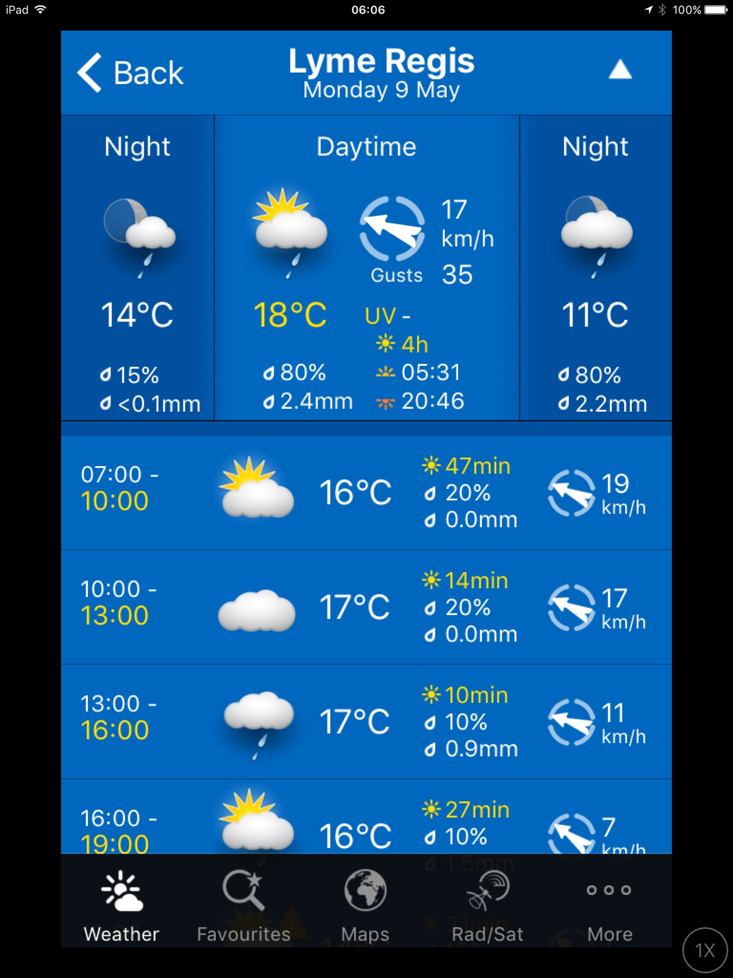
It feels like the last two days I've tested the good weather to its limits so I may well be back to manky 2016 weather later on today. Still, it's better than the weather forecast for tomorrow which doesn't look good. I was going to have a rest day today but due to tomorrow's forecast I've decided to continue walking.
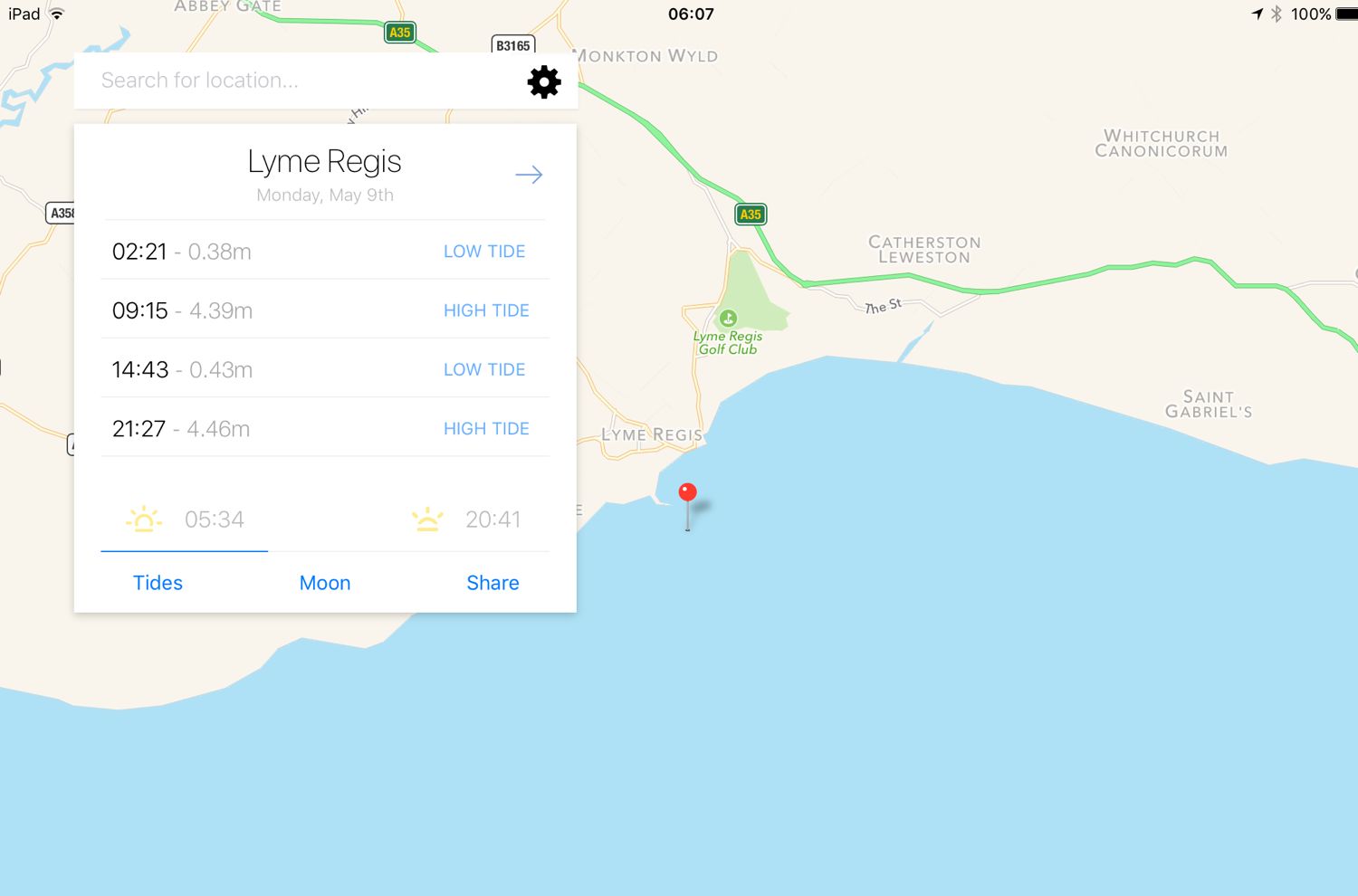
Lyme Regis high tide: 09:15
Lyme Regis low tide: 14:43
I start the day back at the car park above Lyme Regis. A sign here tells me that there are 114 steps down to the foreshore. This is all new to me so I climb the steps down to the foreshore where I have a view of the Black Ven landslip and the coast path walk for the day is laid out in front of me.
I can see over to Golden Cap and in the distance, East Cliff and West Cliff at West Bay and Burton Bradstock and just beyond those, Chesil Beach stretches out to the Isle of Portland. This is one of my favourite stretches of coast on the whole coast path.
I climb back up to the Charmouth Road Car Park where a sign tells me about the recent developments here. The Church Cliff to East Cliff stabilisation works were completed in 2014 at a cost of £19.5 million, providing protection to around 400 metres of the coastline and 480 properties. It includes the new footpath I've just walked on from the new sea wall to Charmouth Road Car Park.
Today's walk has typically in the past been dogged by landslips resulting in several inland diversions starting with an inland diversion at Lyme Regis and probably ending with a slight diversion inland at Burton Bradstock.
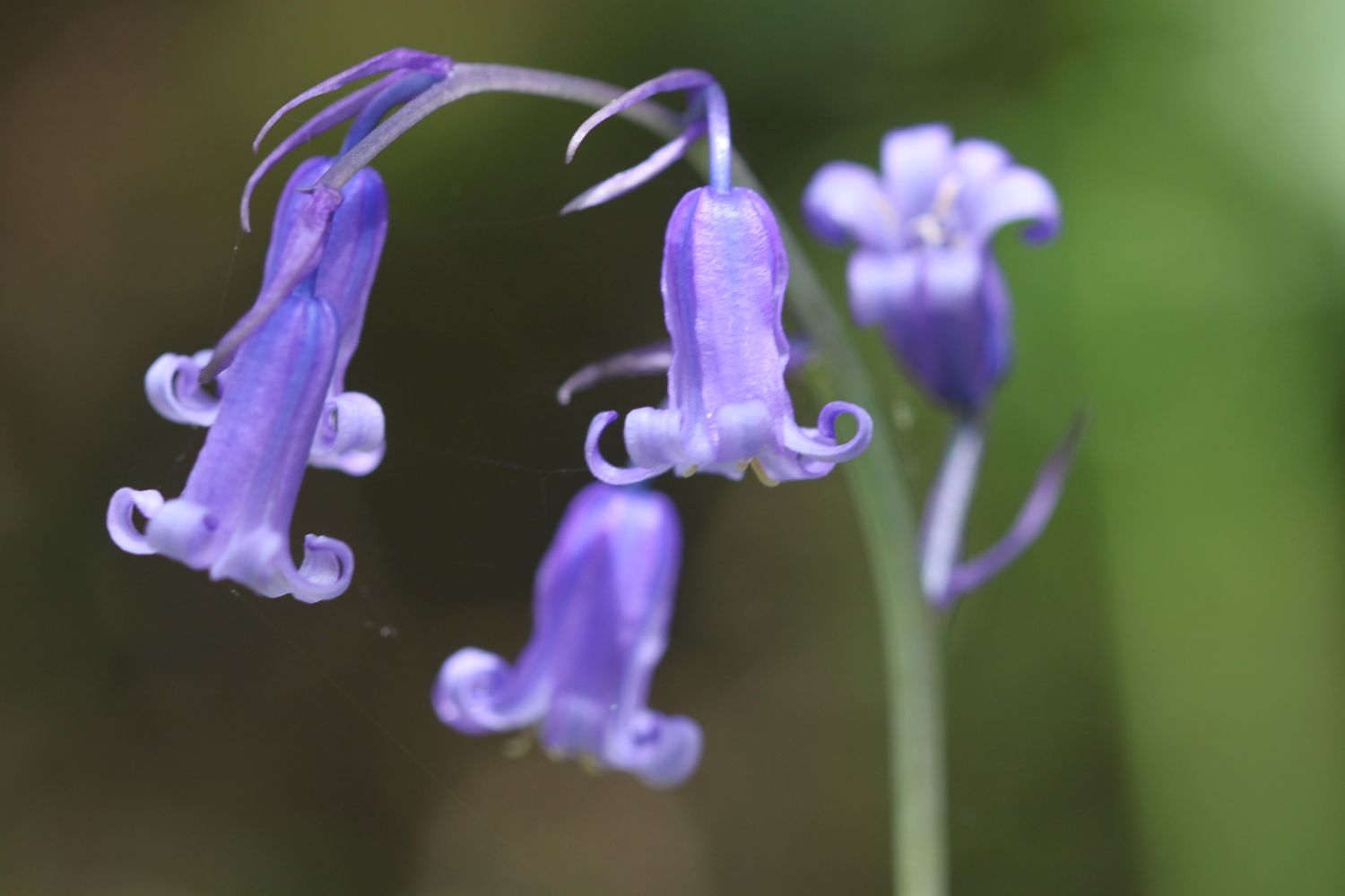
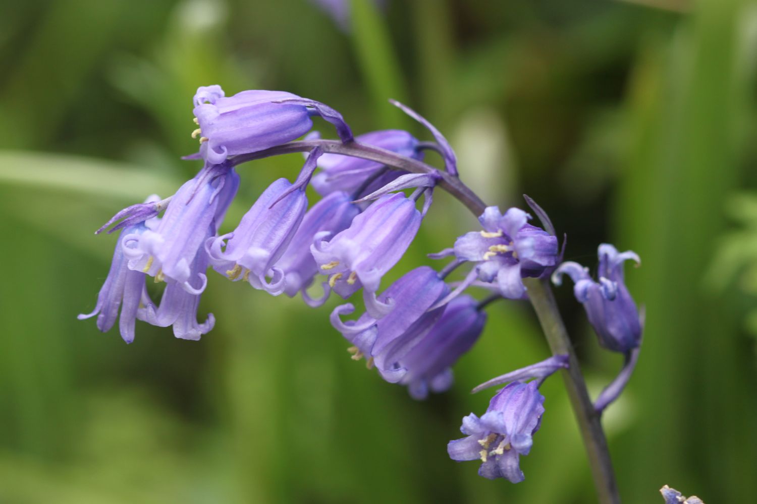
I cross the car park and head upwards through fields and woods where I come across my first bluebells of the day.
bluebells
I'm then dumped out onto a busy road above Lyme Regis which I follow until a sign points me to a path through Lyme Regis Golf Club. Dorset golfers seem to be rubbish! I watch one person tee off, the golf ball hits a tree and the ball pings off 50 metres behind where he teed off. His second shot hits another tree and lands on a green but not the green he was aiming for.
I continue walking along the golf course and come to a path made of scallop shells. Here the coast path signs run out so after pondering which direction to take I head through some woods and I come out onto the main road into Charmouth next to the Fernhill Hotel.
It is now an uneventful walk through the back streets of Charmouth.
It has been years since I've seen Charmouth because of the diversions so I decide that it is time I visited the beach here again so I head off of the coast path and descend down towards the beach where I come across some beach huts and the Charmouth Heritage Coast Centre.
beach huts on charmouth beach
charmouth heritage coast centre
I wander along the beach here and do a bit of fossil hunting.
I head up from Charmouth Beach to rejoin the diverted coast path and gradually amble along the path, passing behind Seadown Holiday Park and past the fire station and the old toll house. I turn right at Stonebarrow Lane and it's now a steep and long climb upwards towards Stonebarrow Hill. I enjoy the wild flowers in the hedgerows.
I come to a break in the vegetation where I have lovely views from the lane back to Charmouth.
view from stonebarrow lane
I continue to the top of Stonebarrow Hill where I come across a National Trust shop located in an old radar station.
national trust shop
I have lovely views over to Golden Cap from up here.
view to golden cap
I head back down a footpath as it rejoins the coast just before Golden Cap, heading through a field full of buttercups.
buttercups as far as the eye can see
I climb slowly up on to the top of Golden Cap.
the climb up golden cap
It's a long way up at 627 feet and the highest point on the south coast. I enjoy the magnificent views from up here. In one direction I can see out to the Isle of Portland and in the other direction back to Lyme Regis and beyond.
golden cap back to lyme regis
golden cap towards the isle of portland
panorama from golden cap
Golden Cap is named after the distinctive outcrop of golden greensand rock at the tip of the cliff and is owned by the National Trust. There is a trigpoint up here which was covered in visitors.
I hang around for a while admiring the views before taking the long descent down to the Anchor Inn (@anchoratseatown) at Seatown.
anchor inn
I crunch my way across the pebbly beach before heading across a footbridge at the car park and then climb back onto the cliffs.
view back to seatown
I climb high above Seatown and then it's now another descent, this time down to the village of Eype where there's another pebbly beach at Eype Mouth
eype mouth
Another ascent and descent over cliffs takes me to the charming West Bay.
descending to west bay
I haven't brought any provisions with me today so I grab a bag of chips and happily munch on them next to the harbour, admiring the views out to sea.
I've lost count of the number of times I've visited West Bay, but it's an awful lot. I round the harbour passing The George (@georgewestbay), the Bridport Arms Hotel, The West Bay Hotel (@westbayhotel), the amusement arcade and all of the food shacks dotted around the harbour.
west bay
I pass the newsagent where I grab a much needed ice lolly and then pass the fishmonger and head out onto the sandy beach. It's definitely a beach day today so I ignore the iconic, crumbling yellow sandstone East Cliff and walk along the beach instead.
east cliff
At Freshwater Beach Holiday Park I have to head inland in order to cross over the River Bride.
freshwater beach holiday park
Normally I'd continue inland to walk through Burton Bradstock but today I stay on the coast path and dart back out onto Burton Cliff which is also crumbling away. The weather is now closing in on me and it starts to rain and become foggy so it's time for my waterproof jacket.
The coast path diverts inland slightly towards Hive Beach due to a fatal cliff fall in 2012 and I pass Hive Beach Cafe (@hivebeachcafe) on my way back down to the beach.

TODAY'S GEOLOGY LESSON
The distinctive cliffs between West Bay and Burton Bradstock date from the early Jurassic period and are a bright yellow colour, made of 190 million year old yellow Bridport sandstone.
Limestone beds made of Inferior Oolite, dating from the early to middle Jurassic period (180 million years or so ago) can be found below the cliffs.
I trudge my way above Hive Beach and then behind Cogden Beach before the coast path takes me inland behind Burton Mere. I continue on the path behind the beach and the path becomes shingle which is very difficult to walk along. I come across housemartins skimming across a stretch of water. I continue along the shingle to reach West Bexington where the beach is a lot more pebbly and noticeably now part of Chesil Beach.
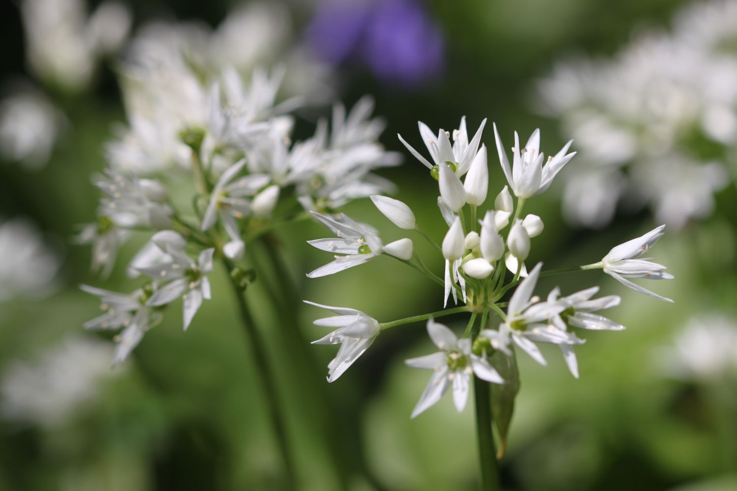
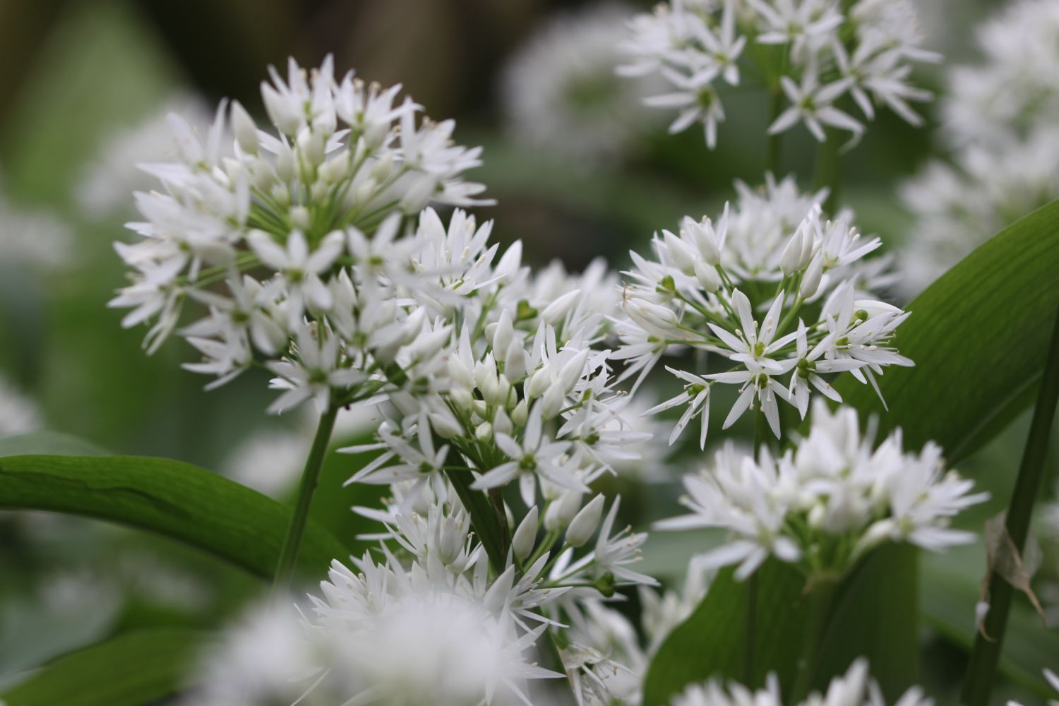
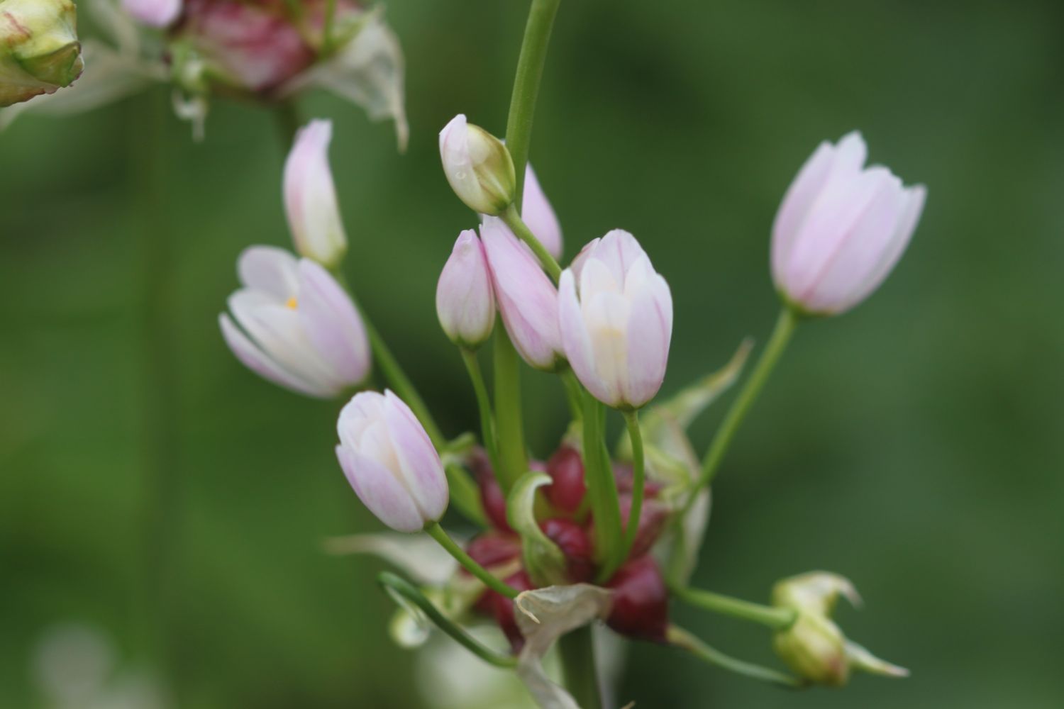
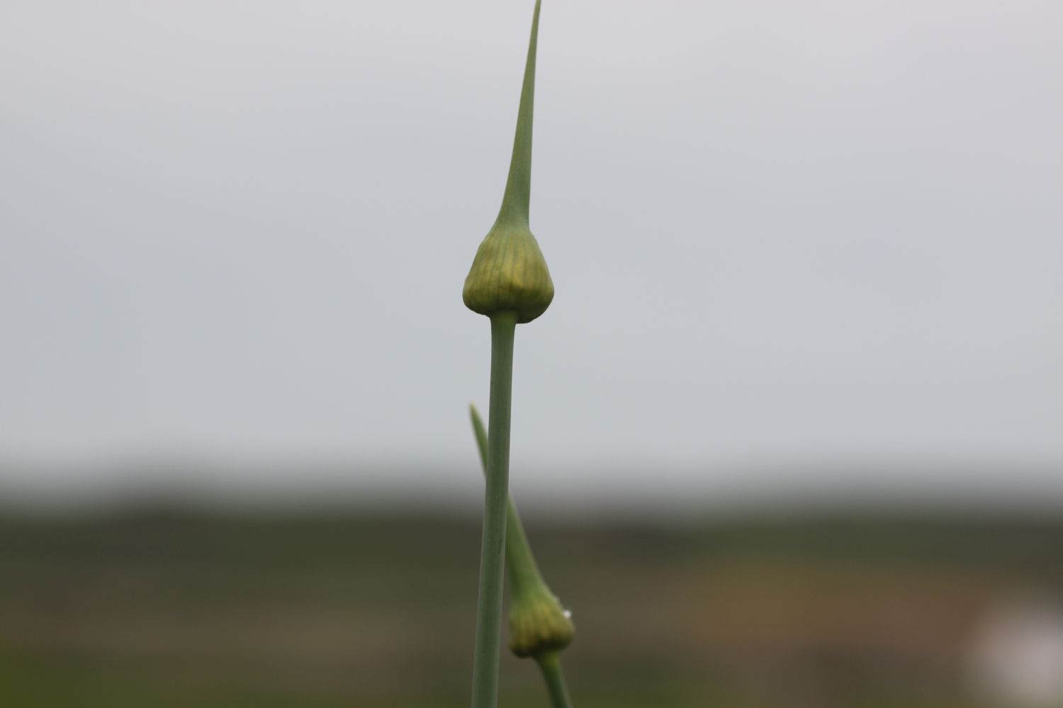
The shingle path continues inland of the beach before finally becoming a metalled path and the walking becomes a lot easier. The weather improves slightly so it's off with the waterproof jacket and I can finally enjoy some more of the wild flowers around here. There are what appear to be some kind of allium, possibly crow garlic?, everywhere.
I continue along the path to reach the car park at Abbotsbury, and the end of today's walk. The views back along Chesil Beach where I've come from and onwards along tomorrow's walk should be magnificent, but unfortunately they are engulfed in fog.
Driving back to the cottage in the car, it doesn't half look and feel like I've walked a MASSIVE distance today! The body doesn't feel it though.
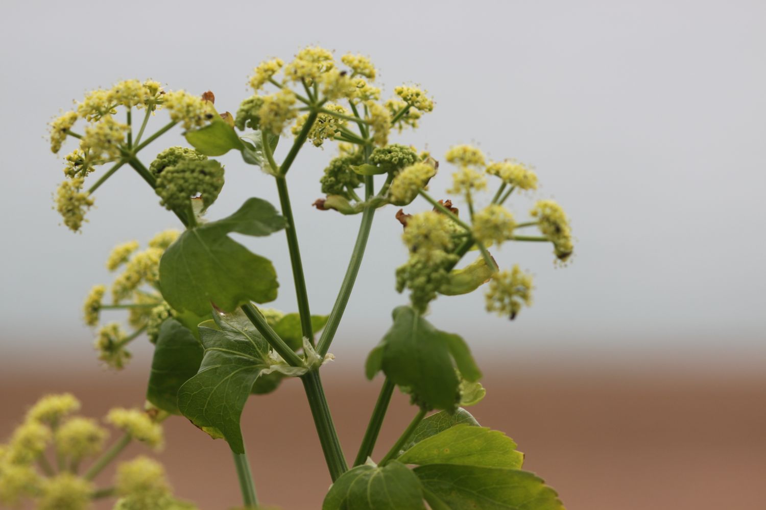
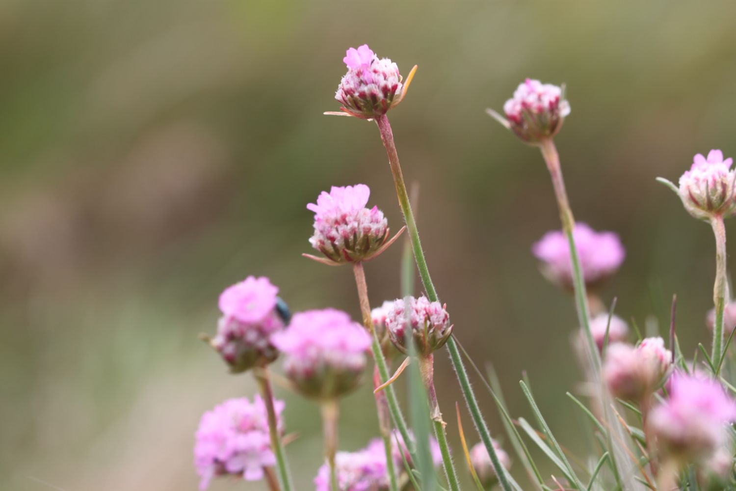
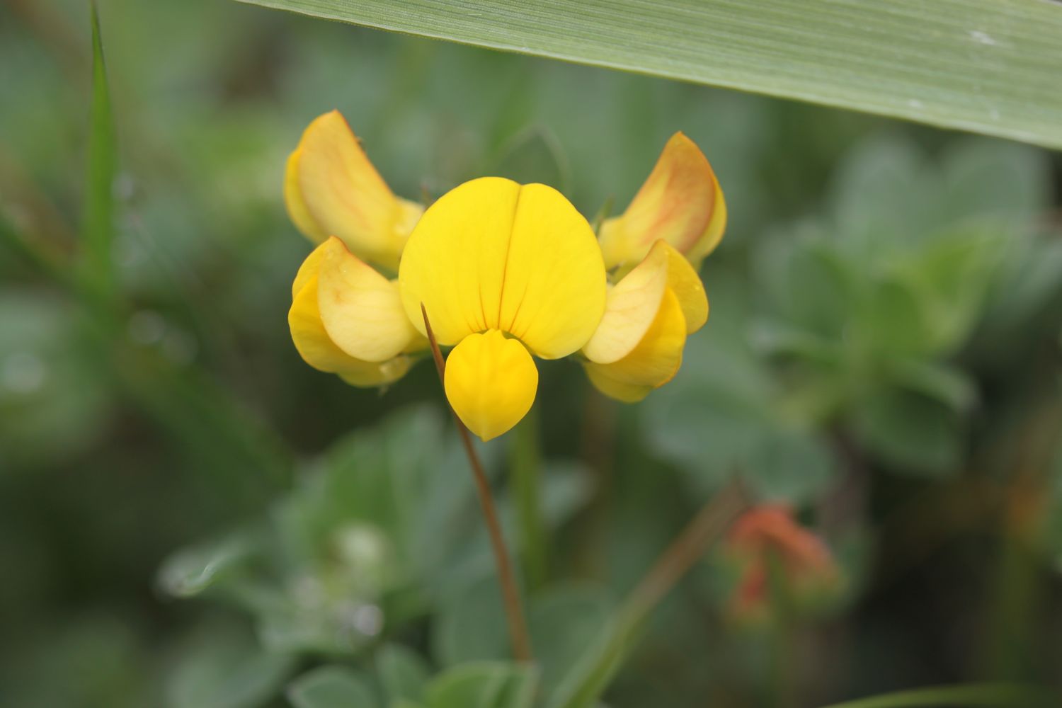
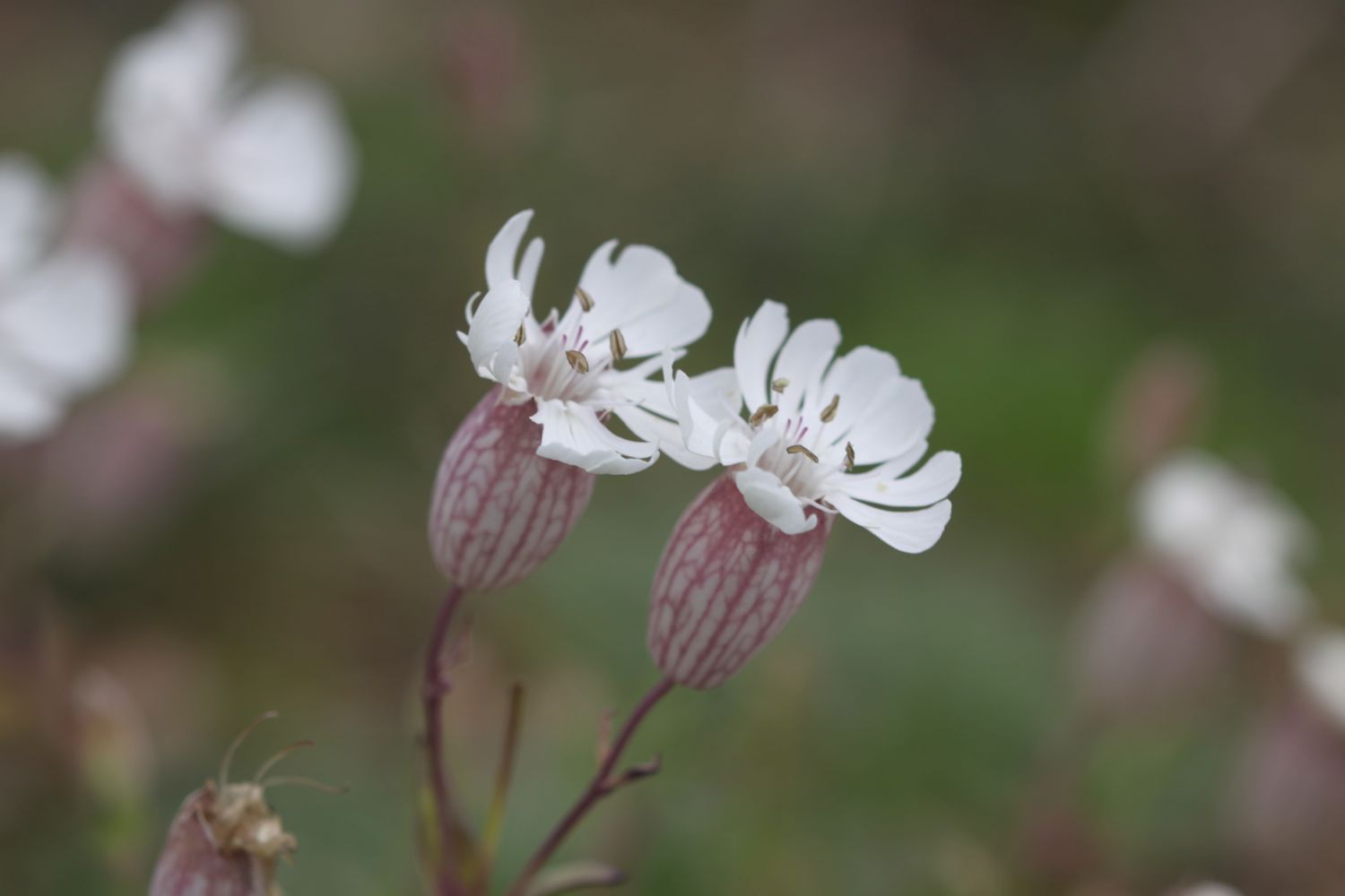
FLORA AND FAUNA
Flora and fauna encountered on the walk today includes :-
- swifts
- magpies
- rabbits
- buzzards
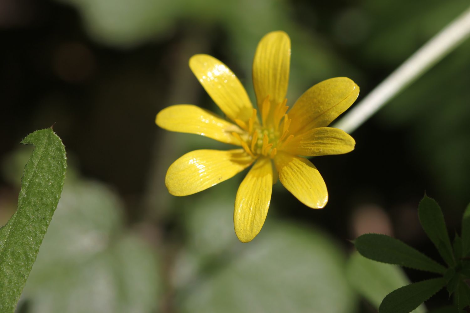
- wild garlic
- bluebells
- herb robert
- ribwort plantain
- garlic mustard
- larches
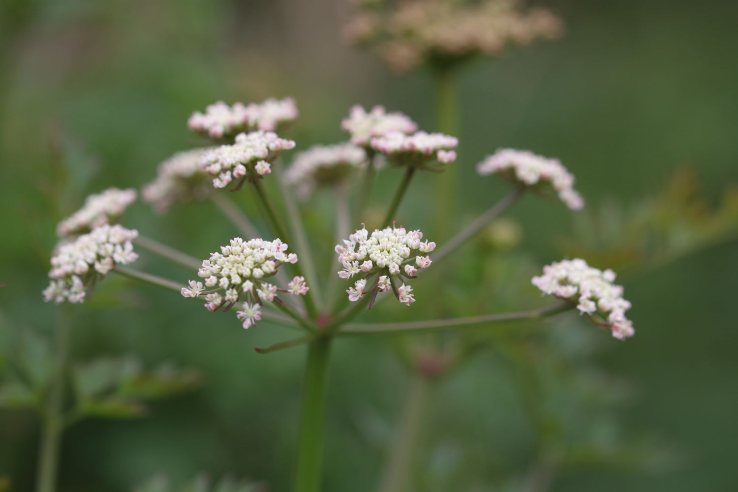
- cow parsley
- primroses
- lords and ladies
- chiff chaffs
- sparrows
- blackbirds
- speckled wood butterflies
- peacock butterflies
- orange tip butterflies
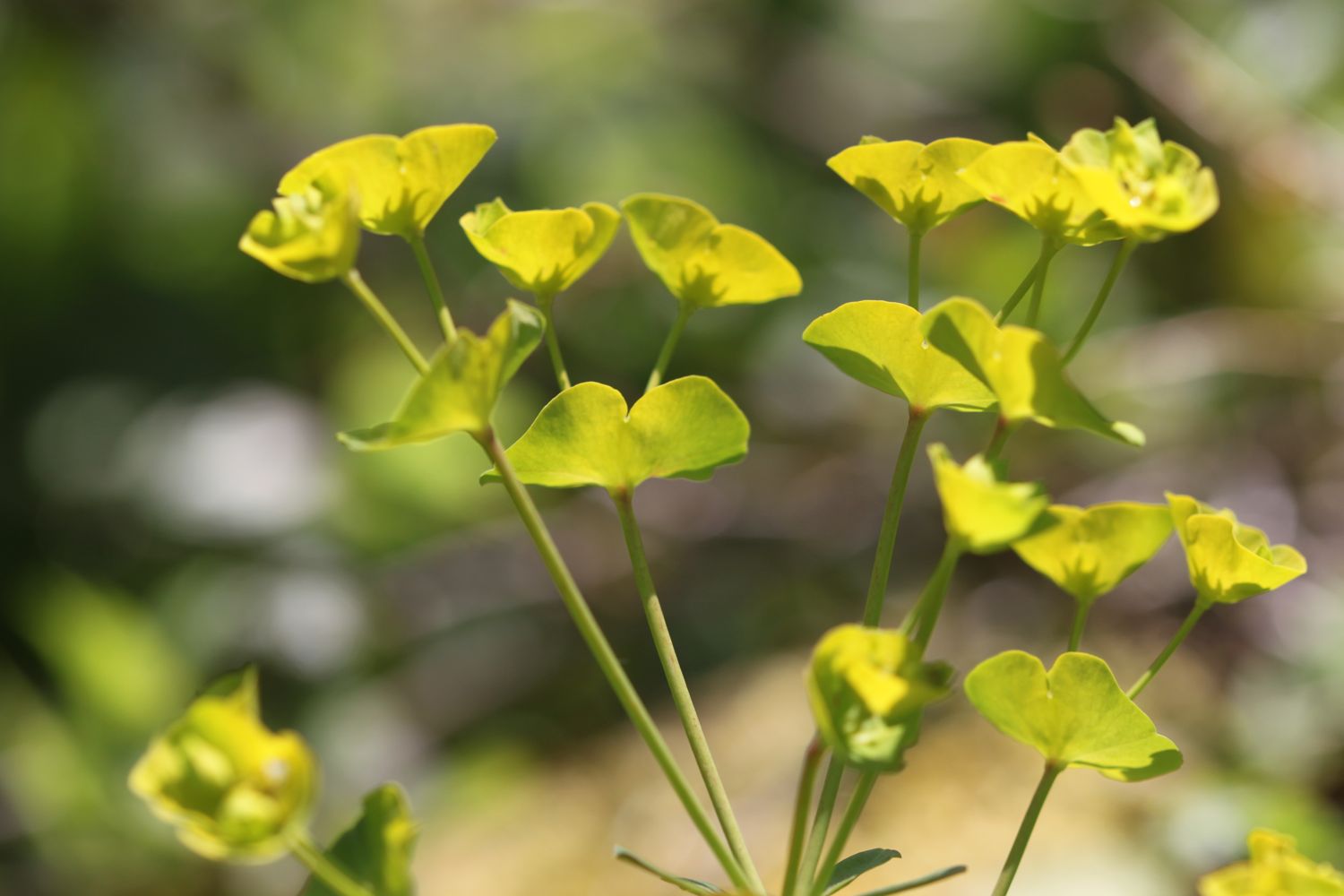
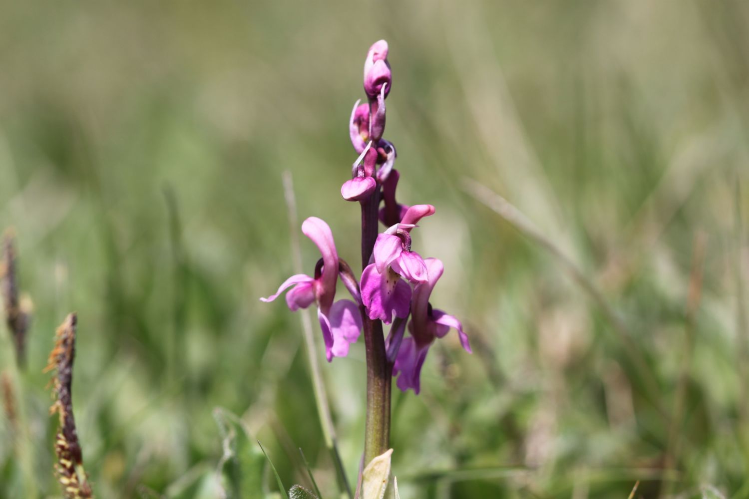
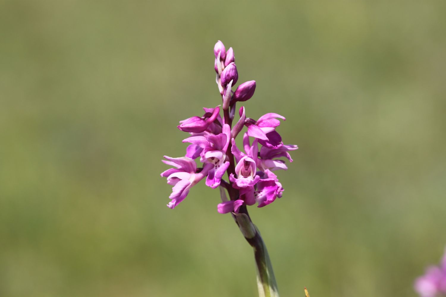
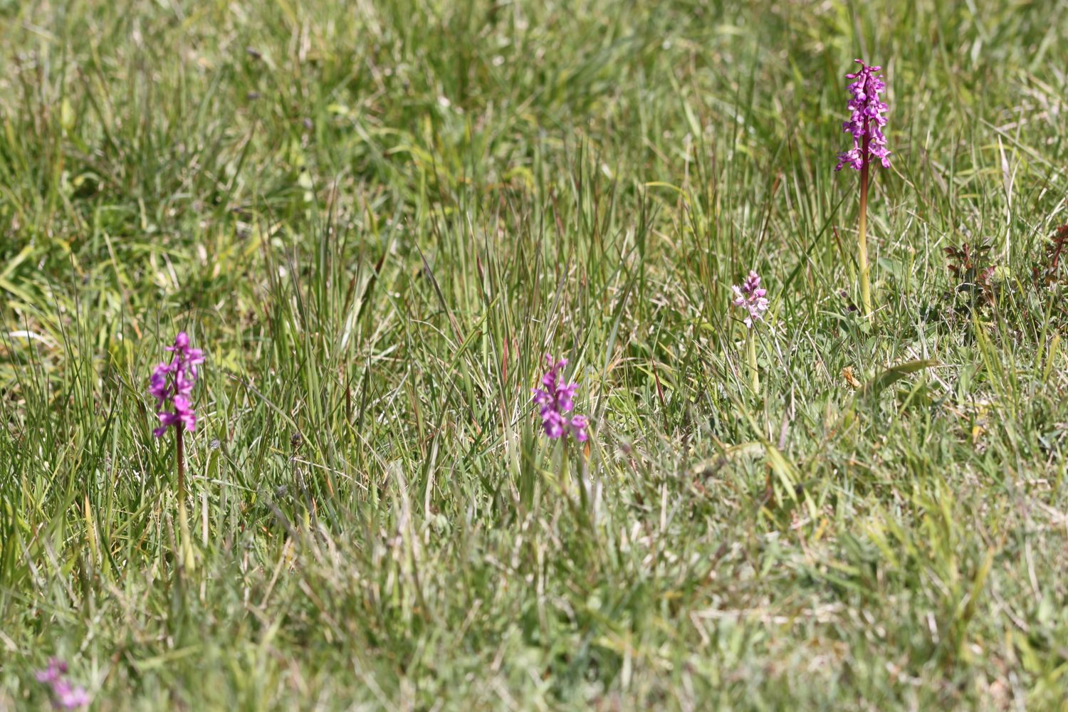
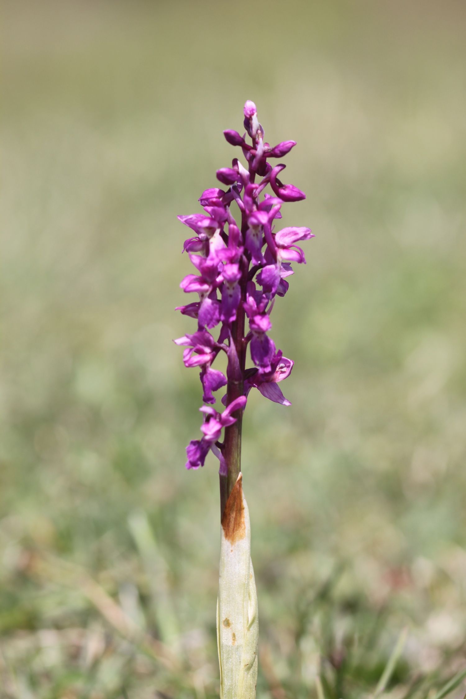
- one sorry looking orchid
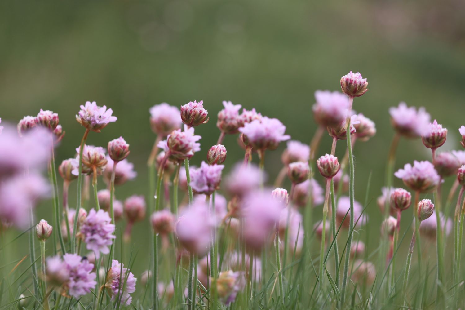
- sea thrift
- sea beet
- skylarks
- housemartins
- cowslips
- bladder campion
- crow garlic?
- bird's-foot trefoil
- bittersweet
- marestail
PODCAST
The podcast of today's walk is now available. You can subscribe via the iTunes store or listen using the player below.

MARKS OUT OF TEN?
According to my phone I've walked 19.96 miles today - again, I wasn't expecting that distance - which amounts to 45196 steps. Blimey! I love this stretch of coast despite the inland diversions and some iffy weather at the end of the day doesn't spoil things. Nine out of ten!

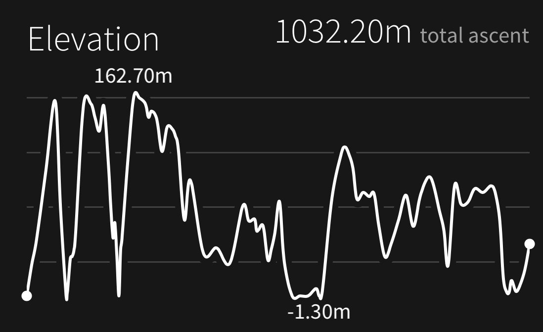
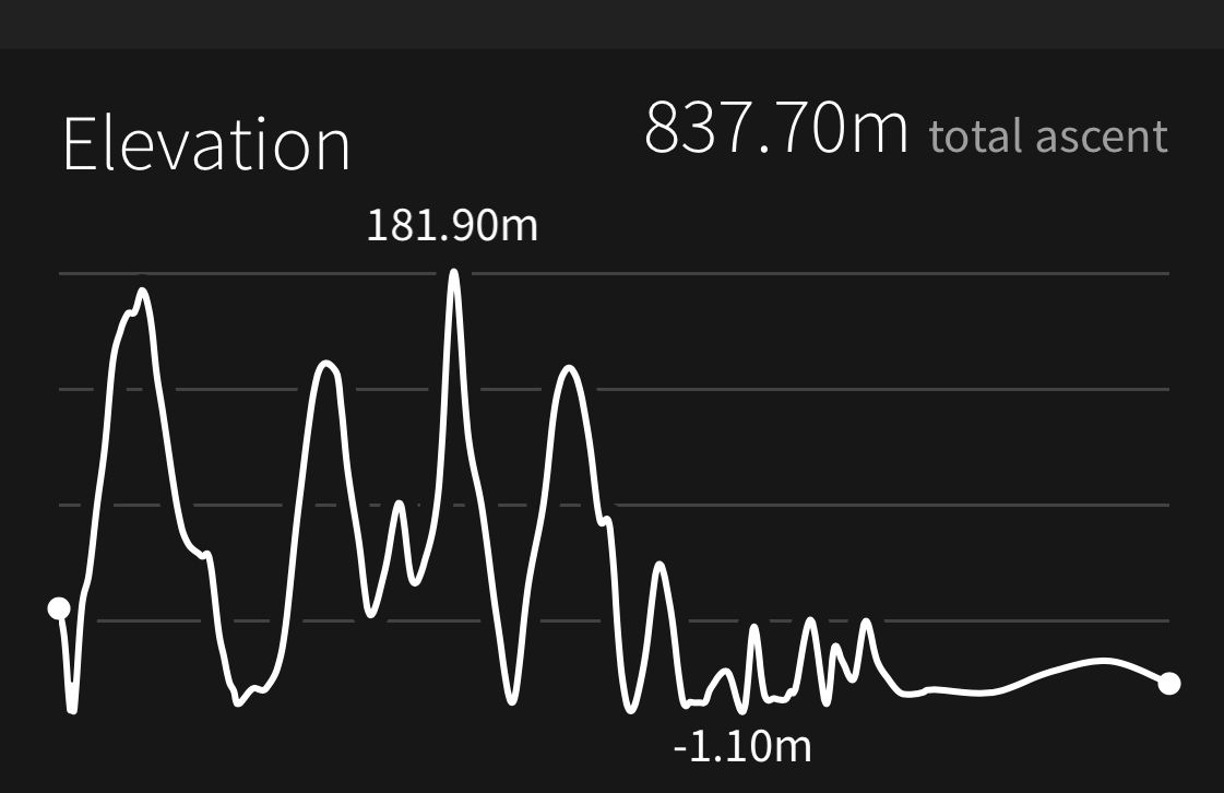
My total ascent today has been 837.70 metres, helped by the ascent of Golden Cap, or 2748 feet.
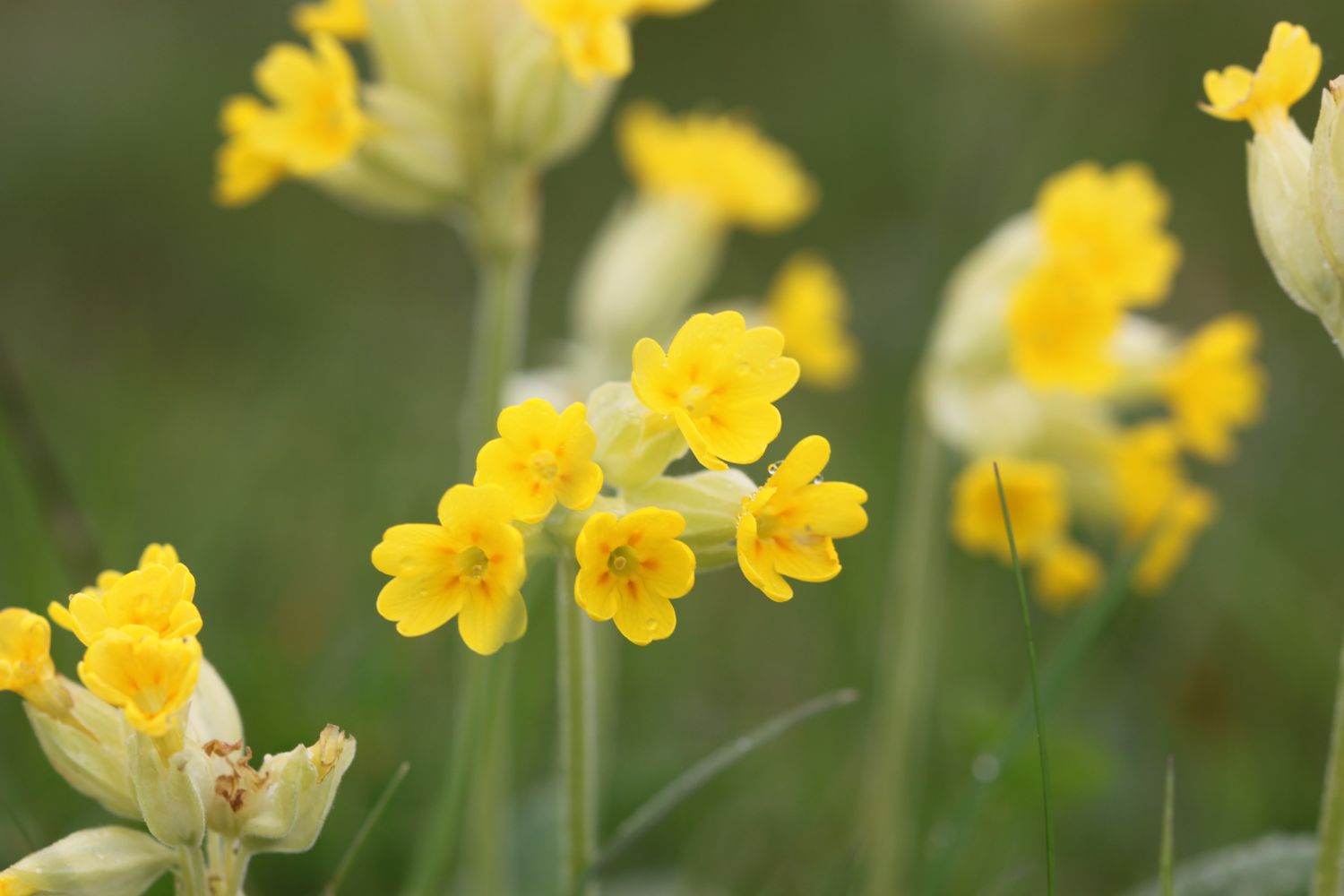
cowslips
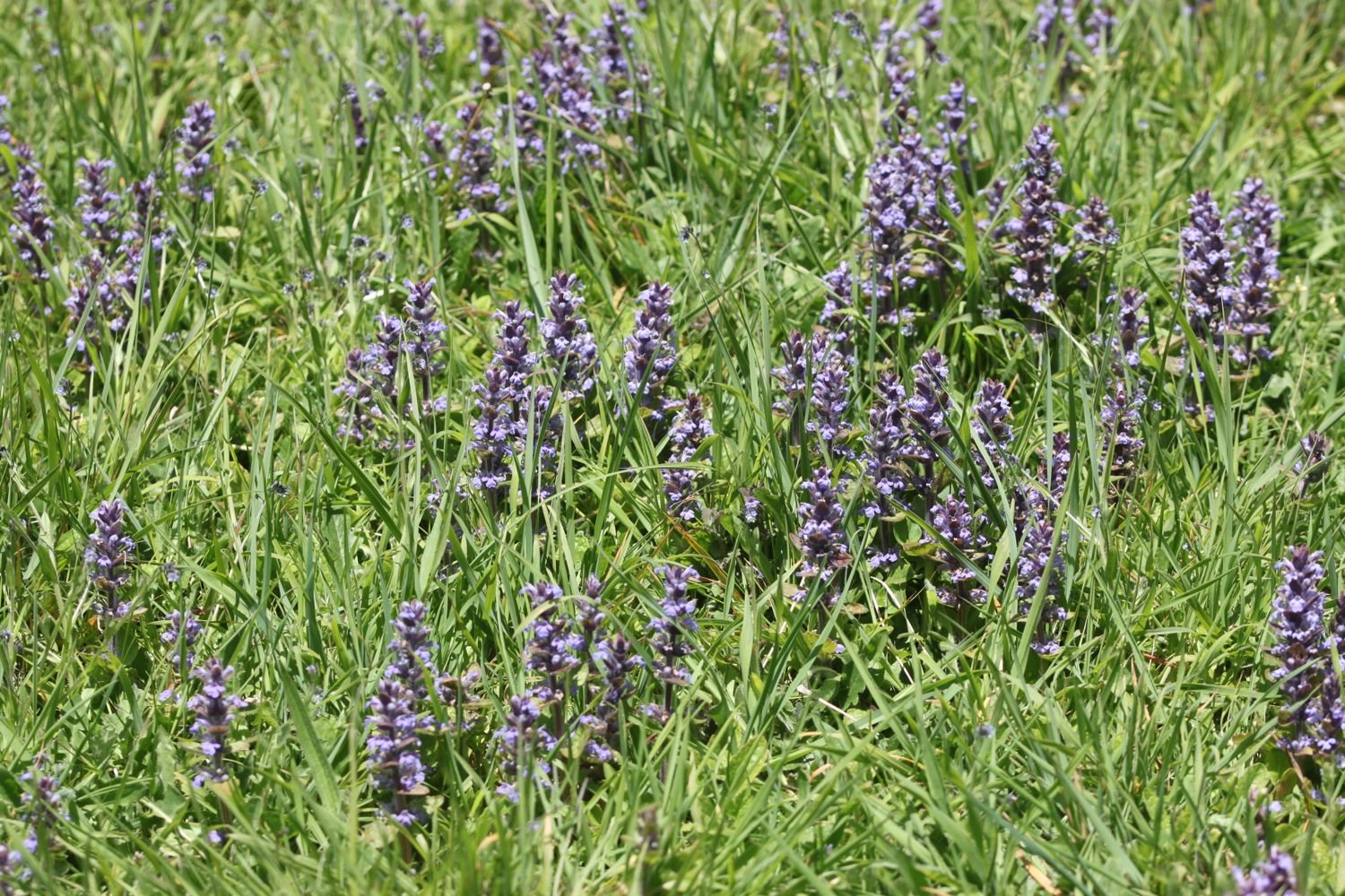
bugle