west cowes to yarmouth

isle of wight COAST PATH

sunday, 10TH september 2017

Today's weather forecast looks to be OK although it's a bit on the cold side and a bit too blustery for me.

Cowes low tide 07:46

Cowes high tide 14:18

weather forecast.jpg
tide times.jpg

I start the day back in Cowes at the car park above the ferry terminal before walking down the road to reach the Red Jet terminal where the ferry crosses over to Southampton.

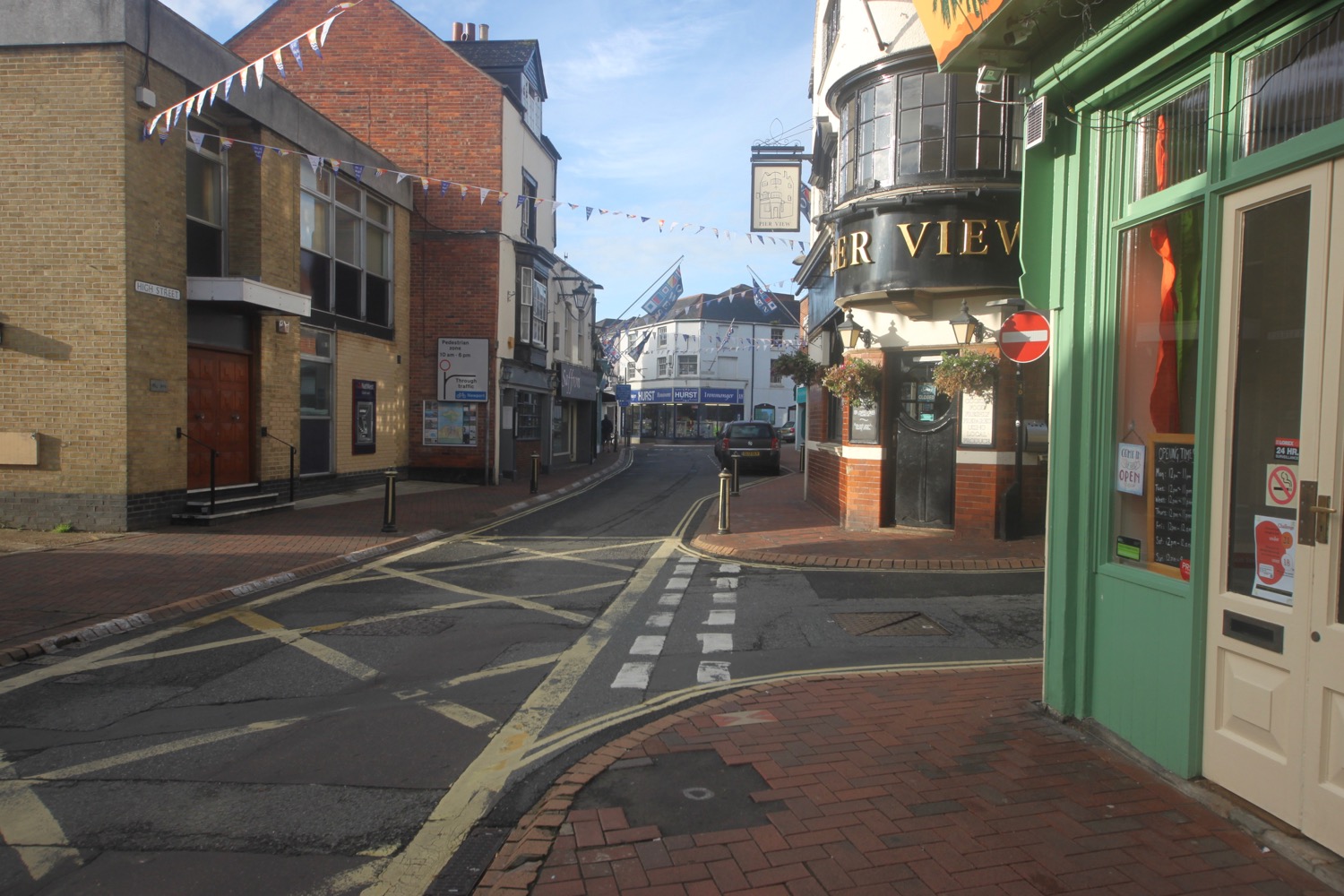
I wander along the High Street before turning into Watchouse Lane and wander down the Esplanade headed towards Cowes Castle, home to the Royal Yacht Squadron.

The castle was built in 1539 as part of Henry VIII's chain of coastal defences.

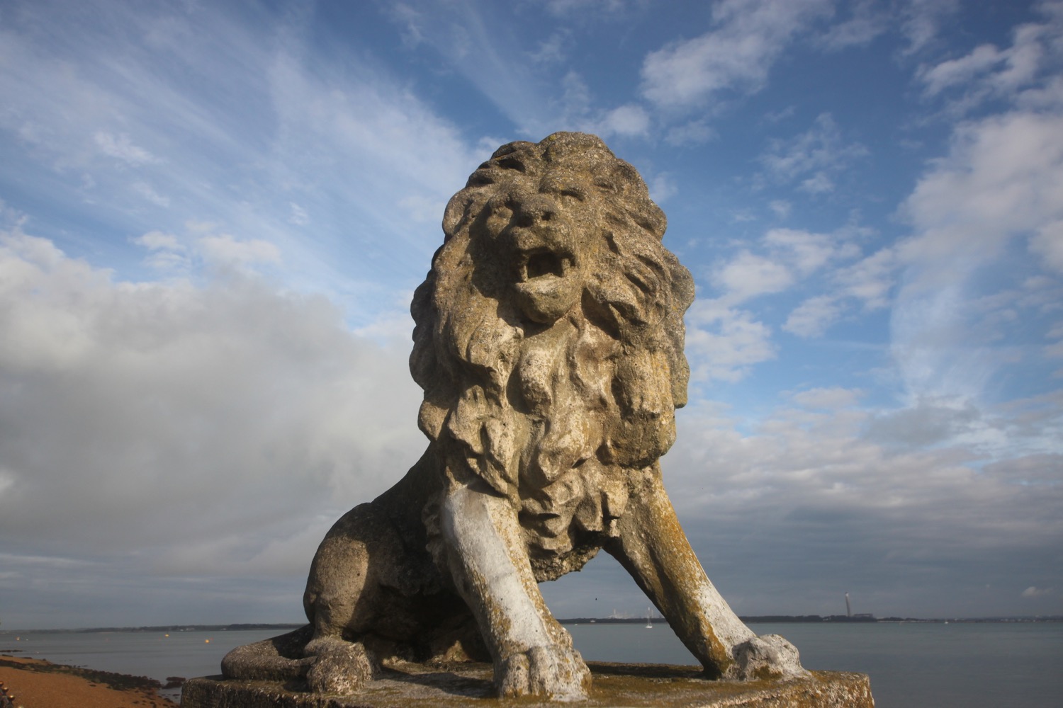
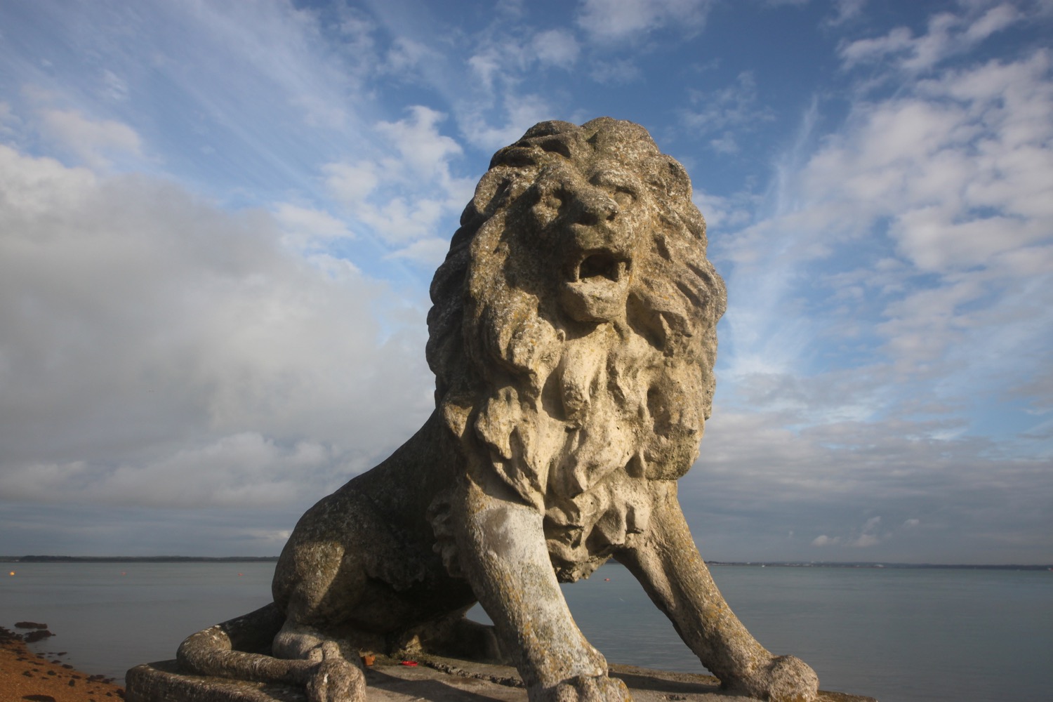
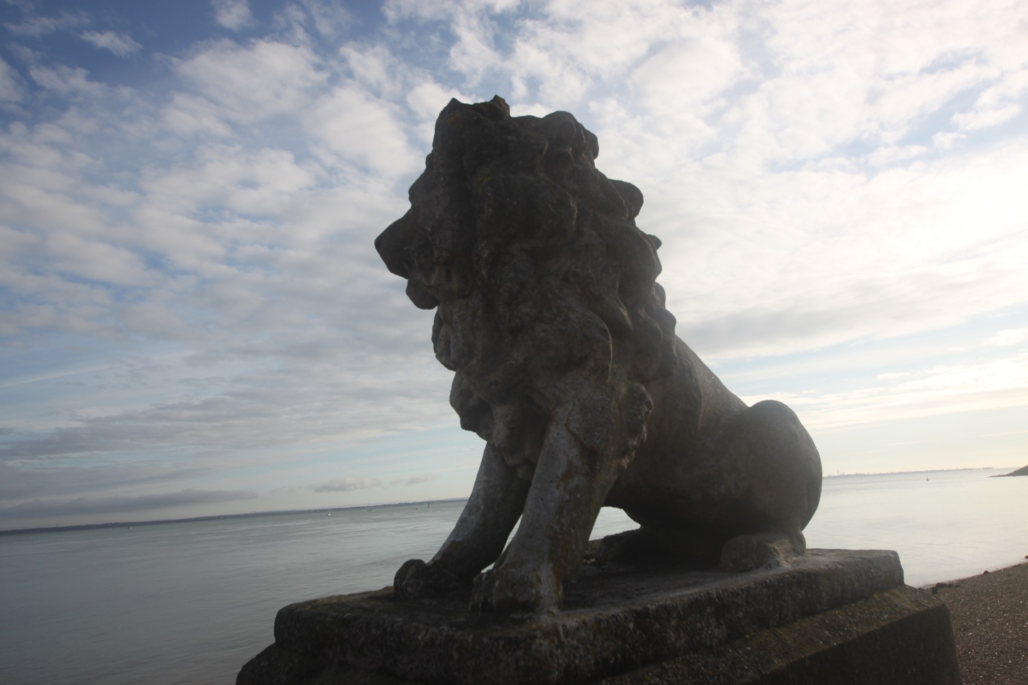
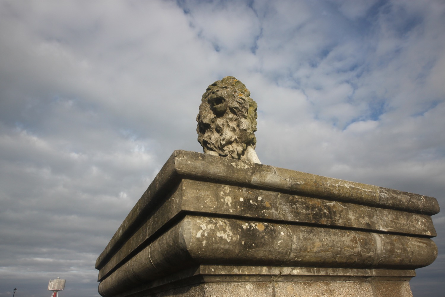
I continue along Egypt Esplanade passing a series of lions.

I reach the lighthouse on Egypt Point, the northenmost point on the Isle of Wight. The lighthouse was first established by the Corporation of Trinity House in 1897 to provide a guide to those navigating the Solent and was discontinued in 1989.

egypt point lighthouse

I continue ambling out of Cowes to reach the Watersedge Beach Cafe in the village of Gurnard.

leaving cowes

I climb up through the village and then turn down a footpath signed as Winding Way. I turn into Solent View Road and have a rubbish view across The Solent. I pass the Little Gloster Restaurant and Bar.

I cross Gurnard Luck over a footbridge and follow muddy footpaths infested with stinging nettles that climb up onto the low cliffs where I have magnificent views over Gurnard Bay and over to the mainland.

gurnard luck

murky view over gurnard bay

I amble leisurely along the cliffs, passing Gurnard Ledge  before coming across lovely views over Thorness Bay before descending down to the beach, not named on my Ordnance Survey map but is known simply as Thorness Bay Beach.

thorness bay beach

I amble along the beach and ascend a grassy slope headed inland. I pass through the grounds of Thorness Bay Holiday Park and head inland along muddy footpaths through fields.

I turn right onto a minor road at Buntshill Farm and follow this road to the village of Porchfield where I pass the Sportman's Rest pub.

sportsman's rest pub

I continue out of the village and come across a road closure.

road closure

Fortunately I can still walk down the road and I cross over Clamerkin Brook where bridge strengthening works are taking place.

clamerkin brook

I pass Clamerkin Farm, now owned by the National Trust, and skirt around Walter's Copse and follow rubbish yellow arrows through Newtown Meadows, a series of lovely meadows enclosed by hedges. These provided grazing land for centuries of farmers.

I head towards Newtown, once a thriving settlement but now just a small hamlet. I emerge onto a lane next to what was once the Newtown Arms Inn but closed in 1916.

newtown arms inn

I head down past the Old Town Hall, a rather grand affair for such a tiny place, restored in 1813 and again in the 1930s and pass some black sheep grazing in long grass before crossing a bridge over a brook feeding into Causeway Lake.

old town hall

I follow the road out of Newtown heading even further inland so as to round the various tributaries of Newtown Harbour. 

I follow footpaths next to the minor road as well as sections of the road and walk through a field of corn before crossing a footbridge over a stream, where i pass Shalfleet Mill, on the way towards Shalfleet. I walk along the quiet road passing the rather lovely The New Inn.

new inn

I turn onto the main road and pass St Michael the Archangel and the village shop and outside the village turn right back onto a footpath.

st michael the archangel

I'm now a long way inland but I start heading back out towards the coast. I cross Ningwood Lake (apparently - it just seems to be a river tributary) and pass Pigeon Coo Farm, Forestview Farm and Lower Hamstead Farm along a track through woods. I now have magnificent, if murky, views over Newtown Harbour. The harbour seems to be vast.

newtown harbour

I cross a number of dodgy boardwalks over water and cross through fields to regain the coast at Hamstead Point. I thought I was still miles inland but am suddenly spat out onto the coast.

hamstead point

I amble along the stony beach at Hamstead Ledge and somehow manage to miss a Celtic cross, a memorial to two young friends and a third young man who drowned in two separate boating accidents near here in the 1930s.

IN LOVING MEMORY OF DAVID GEORGE COX AGED 20 LOST AT SEA OFF HAMSTEAD LEDGE WITH HIS FRIEND WILLIAM PATRICK HOPE POLLOCK AGED 20 ON NOV 27 1932
THE SEA IS HIS

ROBIN MURRAY COX AGE 21 LOST AT SEA JUNE 2 1934 IN DEATH THEY ARE NOT DIVIDED
GOD GIVE THEM REST

The path heads back inland through fields and I pass Hamstead Farm and West Hamstead Farm before entering Bouldnor Forest or Bouldnor Copse as it's marked on my Ordnance Survey map and how the Forestry Commission call it.

Red squirrels abound here and the trees are full of crossbills, goldcrests and ravens. I keep my eyes peeled but see and hear nothing! I enjoy my amble through the forest before regaining the coast. 

coast path at bouldnor forest

I continue through woodland to reach the Newport to Yarmouth A3054 which I follow towards Yarmouth. At the village of Bouldnor I come across a car park and viewpoint. The view is rubbish and all I see is vegetation. Just past the car park I climb down steps to the reach the shoreline again.

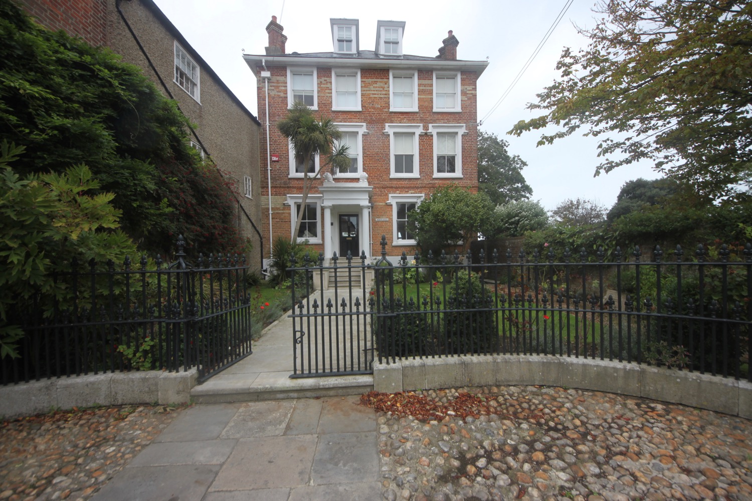
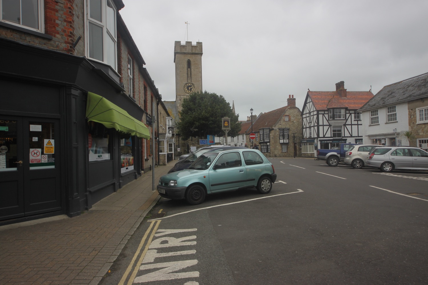
I now follow the sea wall into Yarmouth and head below Yarmouth Common and follow the High Street into the centre of Yarmouth, passing 18th and 19th century houses as well as shops and restaurants. It's rather lovely around here even if the weather is rather murky now.

sea wall at yarmouth

It's now chucking it down and blowing a gale so I briefly venture out onto the grade 2 listed pier before finding shelter from the wind and rain and heading off to the car park where my lift awaits. What a thoroughly lovely day even though the weather hasn't been great and the promised coastal path was more of an inland stroll!

murky yarmouth pier

FLORA AND FAUNA

Flora and fauna encountered on the walk today includes :-

  • oaks
  • wisteria
  • rosemary
  • sunflowers
  • red admirals
  • jays
  • goldfinches
  • cuttlefish
  • swallows
  • sloes
  • hips and haws
  • honeysuckle
  • bistort
  • cows
  • black sheep
  • peacock butterflies
  • speckled wood butterflies
podcast logo small.png

PODCAST

The podcast of today's walk is now available. You can subscribe via the iTunes store or listen using the player below.

9 out of 10.png

MARKS OUT OF TEN?

According to my phone I've walked 17.5 miles today which amounts to 40065 steps. It has been cold and blustery but the walking has been lovely even tough the walking has been largely inland. Nine out of ten!

My total ascent today has been, err, I don't know as my Ordnance Survey app has failed me. It hasn't been much though.

MAP

lion on egypt esplanade

road closed

old town hall at newtown

newtown harbour

coast path at bouldnor forest

beach collection

st helen's to cowes

isle of wight coast path

saturday, 9th september 2017

The weather forecast for the week doesn't look particularly good but it has been a stinker of a year so any good weather is a bonus. Today's weather forecast looks OK but it's not going to be very warm. At least the wind has died down a bit!

Ryde low tide 07:12

Ryde high tide 13:42

weather forecast.jpg
tide times.jpg

I have never been on the Isle of Wight before and it feels like we are practically abroad! We caught the ferry over from Portsmouth to Fishbourne yesterday afternoon.

I start the day at our holiday cottage in St Helen's (some people use St Helen's with an apostrophe and some use St Helens without so I've no idea which is correct so I'll use the correct version with an apostrophe) and walk the short distance down the road and then down a track passing Old Mill Holiday Park to reach Bembridge Harbour.

bembridge harbour

I walk a short distance along the harbour until it turns into St Helen's Causeway and I follow the causeway above marshland. The marsh is covered in seabirds. It's rather a nice start to the day.

st helen's causeway

At the end of the causeway I reach St Helen's Duver, an island sand dune now owned by the National Trust. The dunes used to be the island's first golf course, home of the Royal Isle of Wight Golf Club. The course was opened in 1882 and had just 9 holes. The few remaining members presented the course to the National Trust in 1961. The National Trust know how to spell St Helen's!

st helen's duver

st helen's duver

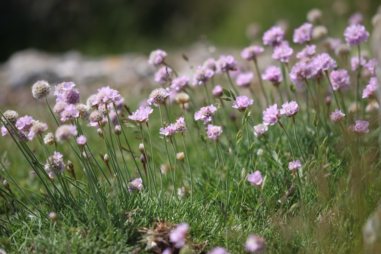
The ex golf course is covered in sea thrift. Back at home the sea thrift all but disappeared at the end of June even though last year it made it all the way to the end of December.

I head across the dunes heading for the pillared Old Club House, now a National Trust holiday cottage.

old club house

At the end of the dune system I turn right to visit the tower of St Helen's Old Church, looking out to sea. It's peaceful around here and St Helen's Beach is rather lovely.

st helen's beach


The tower is all that remains of the 13th century church which fell out of use in Tudor times. It was bricked up in 1703 and later replaced by a newer church inland. We passed the new church on our way into St Helen's yesterday and it's a long way inland.

st helen's old church

On Saturday the 14th of September 1805, Admiral Lord Nelson boarded HMS Victory lying at anchor off St Helen's near to the old church. HMS Victory, with HMS Euryalus in company,  sailed the following morning to join the fleet off Cadiz, prior to the battle of Trafalgar on the 21st of October 1805.

The official coast path heads inland of Priory Bay but I head out along the beach to reach Node's Point. It looks like I can continue along Priory Bay Beach.

node's point

priory bay beach

I amble along the beach and I can indeed continue along the beach to Seagrove Bay, where I enjoy the lovely, golden sand.

seagrove bay

I briefly walk along the seawall at the village of Seaview before dropping down to the beach again.

Ships holding thousands of brave troops from Great Britain, Canada, France and the United States of America sailed off from Seaview and other ports to the beaches of Normandy to free Europe from the tyranny of Hitler's Germany on D Day, the 6th of June 1944.

I head out onto Ryde East Sands. It is now a pleasant walk along golden sands heading into Ryde, passing Puckpool Point and Appley Tower. The beach is practically deserted.

ryde east sands

ryde east sands

I enjoy the sight of hovercrafts arriving and departing from Ryde before passing the hovercraft terminal.

hovercrafts

I reach Ryde Pier, the second longest pier in the country, only being beaten by Southend's pier. I waste time here watching the train going up and down the pier.

ryde pier

I head along the esplanade and pass Prince Consort Building built in 1846 as a gift from Prince Albert to Queen Victoria and once home to the Royal Victoria Yacht Club. The club was founded due to the fact that the Royal Yacht Squadron in Cowes didn't allow female members, even royal ones.

I turn into Buckingham Road and then head along quiet country roads heading towards the main road. I pass Treefields Pond and just before reaching the main road I turn along a footpath which heads through the golf course, home of Ryde Golf Club.

ryde golf club

At the end of the golf course I reach the Church of the Holy Cross, Binstead.

binstead church

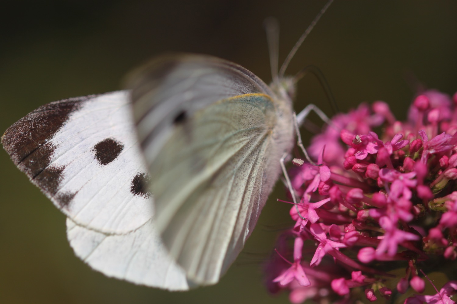
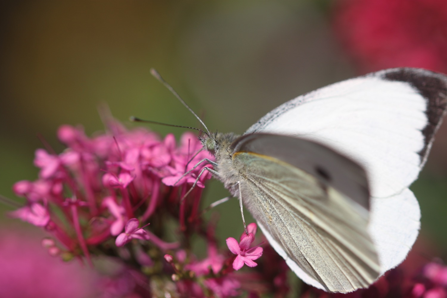
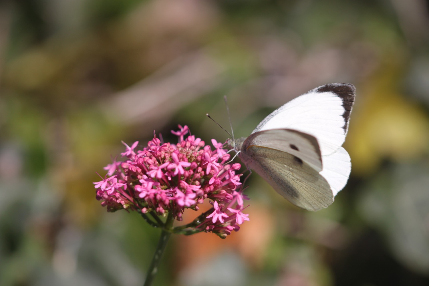
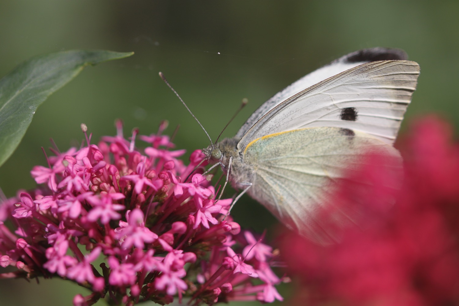
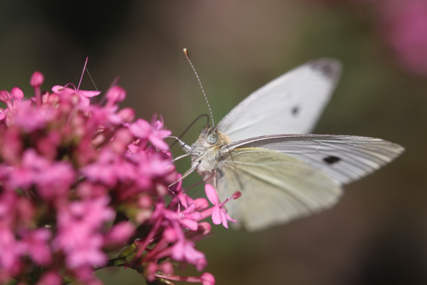
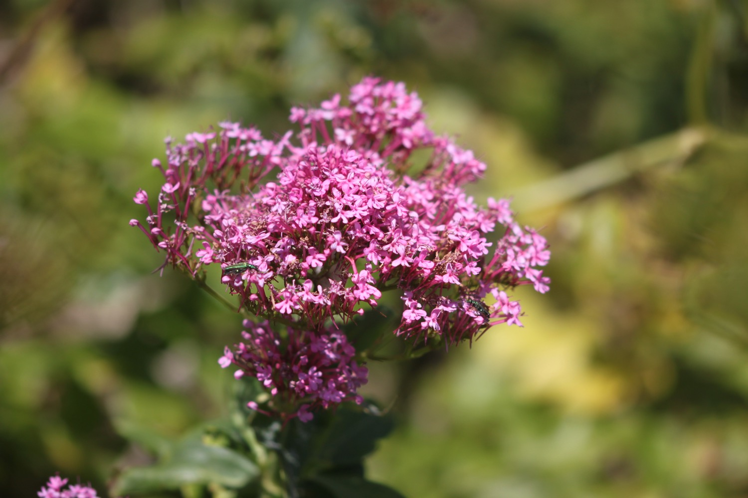
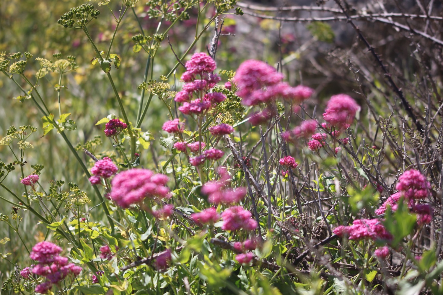
I come across butterflies feeding on red valerian.

I follow various roads and paths and pass the remains of Old Quarr Abbey, pronounced Cor but spelt Quarr. I can see the remains of a Cistercian abbey, constructed from 1132 and demolished in 1536 during the dissolution of the monasteries.

the site of old quarr abbey

the plan of old quarr abbey

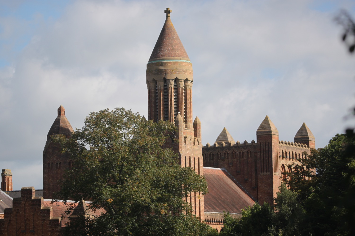
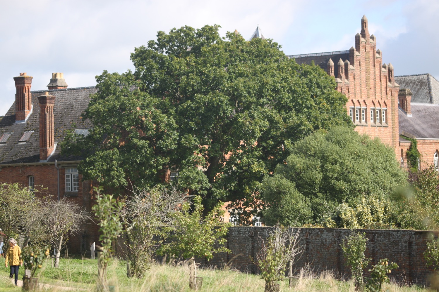
I continue along the footpath to reach Quarr Abbey. I detour off of the coast path to visit the abbey, home to a small group of Benedictine monks, where I enjoy the gardens. It's rather lovely around here and very peaceful.

The abbey is named after a nearby quarry, mined since Roman times and stone from the quarry was used in the construction of Winchester and Chichester cathedrals. The abbey was completed in 1912 to house a French Benedictine order.

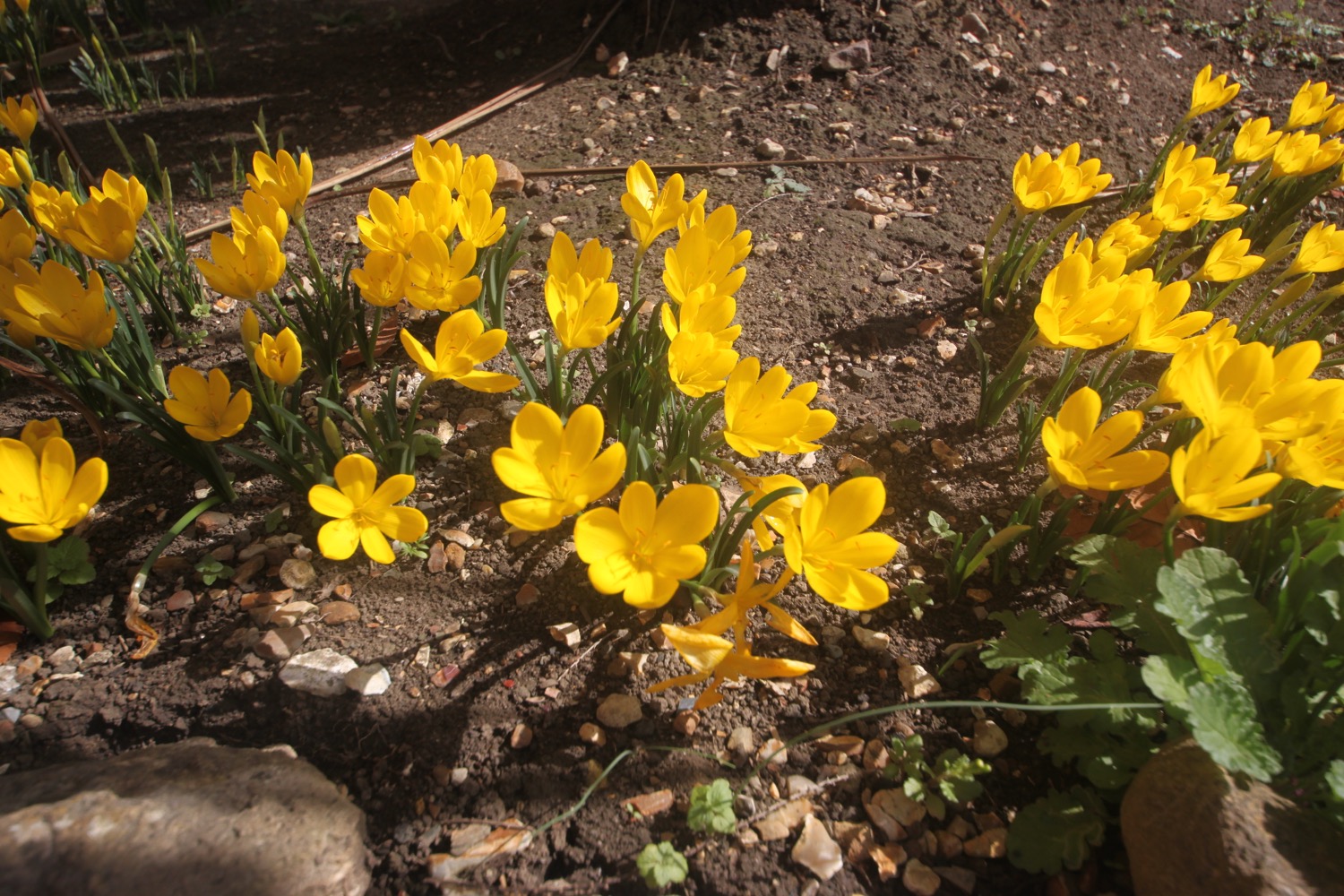
I come across some lovely autumn crocuses outside of the abbey before retracing my steps to rejoin the coast path and follow quiet paths.

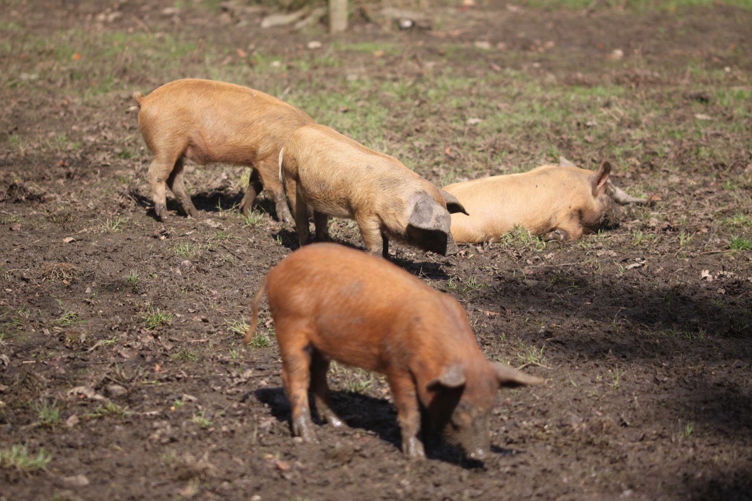
At the far end of Quarr Abbey I come across some pigs wallowing in mud. I love pigs!

I amble along the quiet paths and a squirrel crosses my path. I think nothing of it as I see loads of squirrels at home. Hang on a sec! That squirrel is red!! It's a RED SQUIRREL!!! That's the first red squirrel I've ever seen. It disappears before I even remotely get a chance to pull out my camera.

I continue along the path which takes me to the  Fishbourne Inn. I pass Fishbourne's ferry terminal, where we arrived on the Isle of Wight on Friday, and head through Fishbourne next to Wootton Creek.

fishboune inn

I pass a small plantation and see another red squirrel before climbing up to the main road at Kite's Hill.

I head along the main road and cross over Wootton Bridge with Wootton Creek on my right and The Old Mill Pond on my left, to reach the village of Wootton Bridge. That's a rather large pond.

old mill pond

wootton creek

I pass the Sloop Inn at Mill Square and then odd footpaths and roads through Wootton near to the site of the 1969 Isle of Wight Festival.

the sloop inn

I'm now far inland and follow the quiet Brocks Copse Road and then Alverstone Road for a couple of miles until it reaches the main road at Whippingham.

The coast path now follows the main road past Osborne House, once the home of Queen Victoria on the Isle of Wight and now owned by English Heritage, for a couple of miles into East Cowes.

Instead of following the coast path I turn into Beatrice Avenue and follow the minor road to reach the rather gothic looking St Mildred's Church, Whippingham.

Opposite the church are almshouses built on the orders of Queen Victoria in 1876 to house retired royal servants.

almshouses

I head through the churchyard to enjoy the view over the River Medina before retracing my steps and heading back along the road and then a footpath beside the road which leads me to a row of multicoloured houses.

At Meadow Road I descend down a footpath heading towards the River Medina where I pass Vera Allotments who are holding their open day today. I turn right next to Kingston Wharf and pass East Cowes cemetery and head down Medina View to enjoy the view over Cowes Marina before heading back along the road into East Cowes.

east cowes cemetery

cowes marina

I finally get very confused with the route. I should take the chain ferry over the River Medina but instead come across a massive floating bridge. This can't be the chain ferry can it? as I was expecting a passenger only service. I wander around for a bit and finally see a sign for the chain ferry but when I get there it doesn't seem to be running and instead suggests walking along the river for a bit to find a passenger ferry.

I wander along the river and come across some people milling on a pier so I wait and indeed, a passenger ferry turns up so I climb on board and pay the £1.50 fare to cross the River Medina to reach my destination for the day, West Cowes.

I head into town but can't see any signs of a car park so wander aimlessly for a while before finding Terminus Road which I head up to the car park where my lift awaits. It has been a confusing end to a thoroughly pleasant day.

FLORA AND FAUNA

Flora and fauna encountered on the walk today includes :-

  • roses
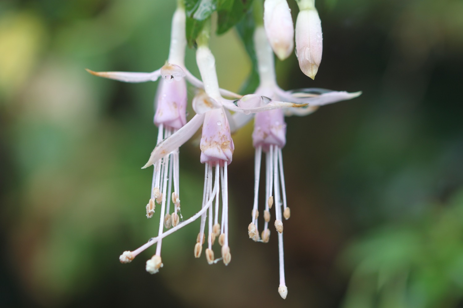
  • fuchsias
  • sea thrift
  • oystercatchers
  • lavender
  • red valerian
  • red admirals
  • speckled woods
  • dahlias
  • cyclamen
  • oaks
  • marestail
  • fig trees
  • pears
  • apples
  • autumn crocuses
  • red campion
  • pigs
  • RED SQUIRRELS
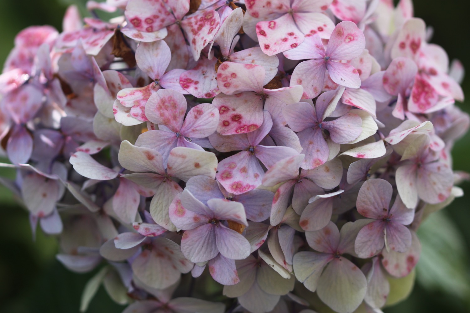
  • hydrangeas
  • buzzards
podcast logo small.png

PODCAST

The podcast of today's walk is now available. You can subscribe via the iTunes store or listen using the player below.

10 out of 10.png

MARKS OUT OF TEN?

According to my phone I've walked 15.6 miles today which amounts to 34831 steps. It has been a cold day and describing it as a coastal path is stretching things slightly but the walking has been lovely and completely new to me. Ten out of ten!

My total ascent today has been a measly 66 metres or 218 feet.

elevation.jpg

MAP

bembridge harbour

dead tree on st helen's duver

hovercrafts

st mildred's church

beach collection

isle of portland

SOUTH WEST COAST PATH

WEDNESDAY, 7TH june 2017

Today's weather forecast looks like it might be a bit on the blustery side and rather colder than I'd like. Having said that, the alternative BBC weather forecast has me down for a rather nice day with light breezes. I know which I'd prefer!

Chesil Cove low tide 11:41

Chesil Cove high tide 18:39

The walk begins at the Chesil Beach Visitors Centre located at the Ferrybridge car park. The road onto the Isle of Portland is extremely busy so I quickly cross the road and drop down onto the trackbed beside the road which used to be a railway line. I'm immediately greeted by skylark song. Quite why skylarks would choose to live here I don't know but it's a very welcome sound over the noise of the traffic.

It's blowing a gale and even Chesil Beach is failing to block the westerly winds.

view over portland

Despite the rocky nature of the railway track the wildflowers are rather enjoying themselves.

I pass an Environment Agency sign telling me that 'The outfall that empties into Portland Harbour behind this stone wall is a critical part of local sea defences operated and maintained by the Environment Agency.'.

chesil beach sea defences

I reach what used to be Mere Tank Farm, an old oil storage depot, but this has now been demolished as part of the Olympic developments around here. What an eyesore it used to be but I rather liked the depot welcoming me on to Portland and I can't see anything of merit that has replaced it. 

It's now called Osprey Quay and seems to be a place where you park up your rather large yacht.

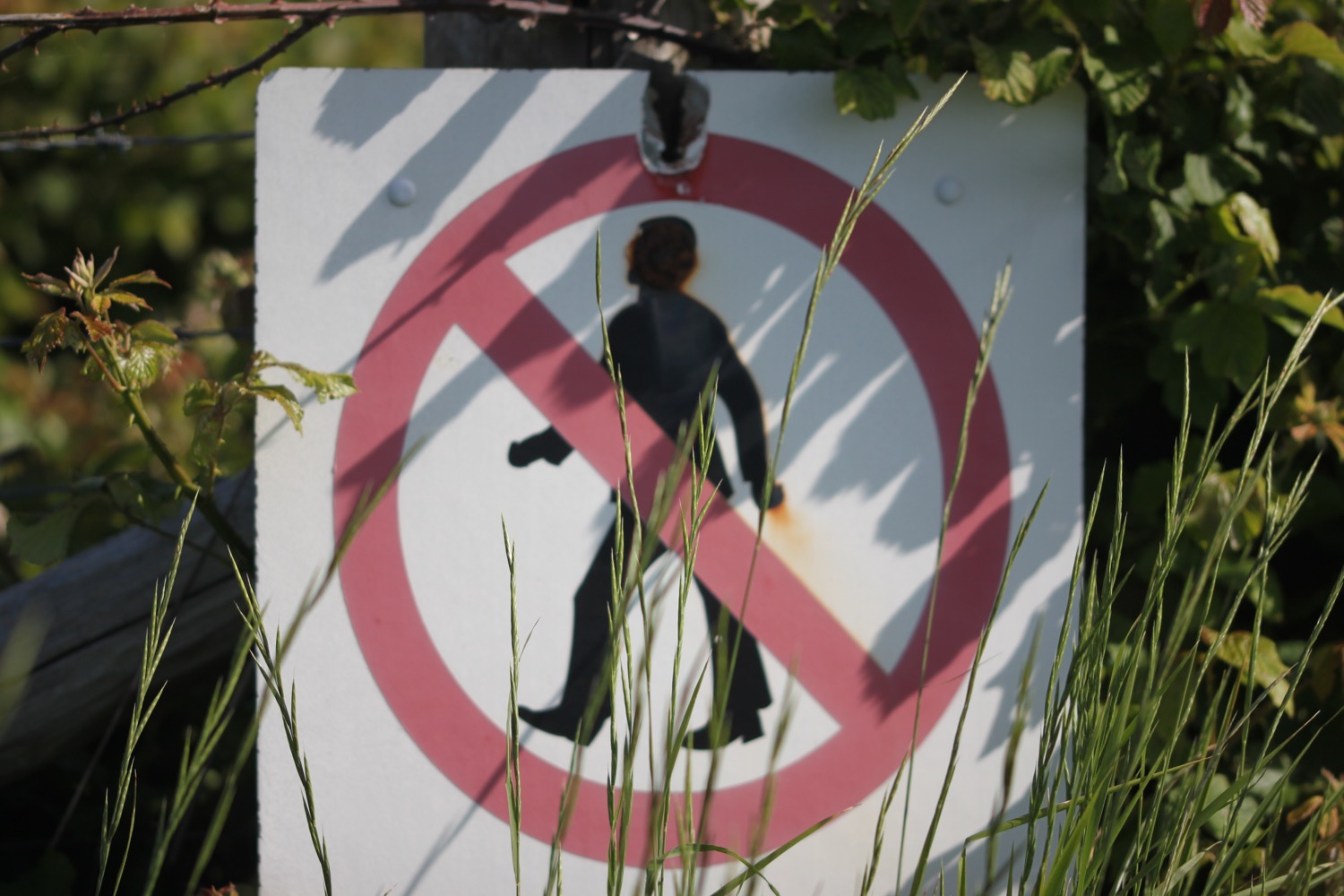
I pass Portland Port and then the Weymouth and Portland National Sailing Academy. I pass a sign warning me that I'm next to 'PRIVATE LAND. No public access or right of way.' Why on earth would I want to trespass on that dump?! Needless to say I come across more of these signs.

private land

Despite (or because of) being near to deserted the flowers are putting on a good show. 

I head past what used to be HMS Osprey before all of the redevelopments, where I come across a Westland Lynx HAS 3 XZ 250 helicopter, which has apparently played a major role in the fight against drugs and piracy and entered service with the Royal Navy in 1978 and was operational for 32 years and 8 days accumulating 7667 hours and 10 minutes flying. That's very precise!

westland lynx helicopter

I pass The Boat That Rocks and then pass a big lump of timber telling me 'Remember, always keep a good lookout!'. Apparently this lump of timber was recovered 15 miles south east of Portland Bill in April 2010. It was then towed to Portland Marina in the interest of safety for other seafarers. Good to know.

I pass a flood risk area (there are many around here) and then pass a sign telling be about the 2012 Olympics and Paralympics Games sailing events where I have nice views back along the deserted marina.

deserted marina

It is properly blowing a gale and a windsock at the old heliport confirms this.

blowing a gale

I'm now confused by all of the new developments and somehow manage to head off the wrong way around the island heading down the east side rather than the west side. I pass Portland Castle which English Heritage claim is one of Henry VIII's finest coastal forts, built in the early 1540s to protect against French and Spanish invasion. It looks a bit pathetic!

portland castle

I head into Castletown, passing the Osprey Leisure Centre and pass a coast path stone telling me that Portland Bill is five and a half miles away. A grubby path strimmed to within an inch of its life and covered in crisp packets climbs up onto East Cliff. It appears that this was once Merchant's Railway, a horse drawn and cable operated incline railway, built for the stone trade on the island. It was operational from 1826 to 1939.

I pass some massive echiums growing in an allotment before reaching Verne Citadel, used as a category C men's prison but closed in 2013 before becoming an immigration removal centre in 2014. There aren't any clues as to whether it is still being used or not. Signs seem to indicate that it is still a prison.

verne citadel

I pass a dead seagull with its head ripped off and then come across Fancys Family Farm where I come across goats, sheep, WALLABIES and horses. I pass quarries where the vehicles down below are making an awful racket shunting stone.

quarry

I'm clearly now in quarry country and I'm on the East Weares and Groves Cliffs, where I come across a great big memorial bench made out of the local limestone. Despite all of the rocks the wildflowers are putting on a good show.

I pass Portland Young Offenders Institution where I'm warned not to throw anything into the prison or I could face an unlimited fine and up to 10 years in prison. UNLIMITED?! Really. Needless to say I don't throw anything over the fence just in case!

STOP!

I now have lovely views out over the breakwater, over to where I should have been walking yesterday and also over to the towering cliff faces above me.

towering cliff faces

I'm now heading towards Church Ope Cove. Signs seem to indicate that the path has been recently closed due to rock falls but they are now open again. I amble along the coast path admiring the wildflowers.

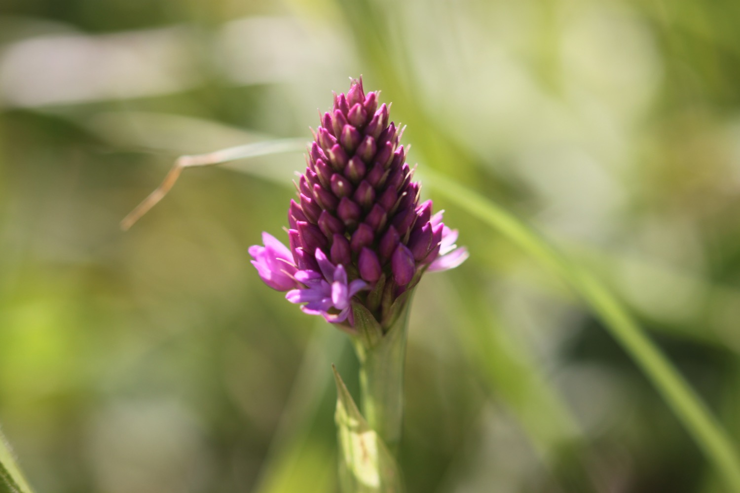
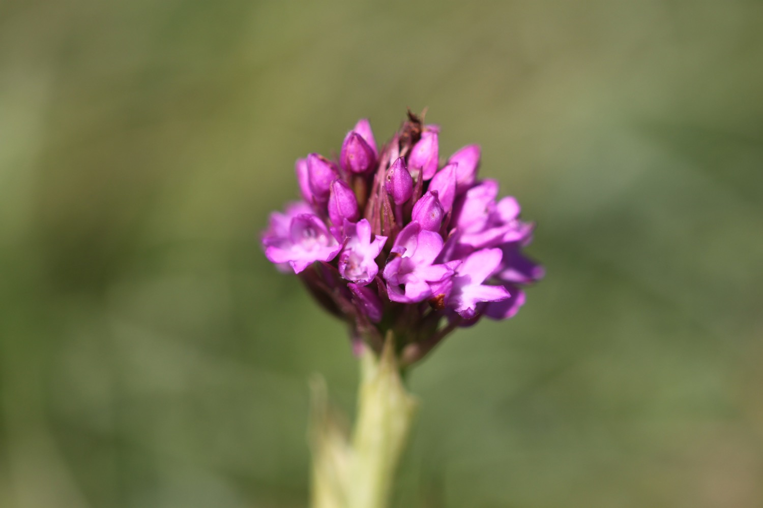
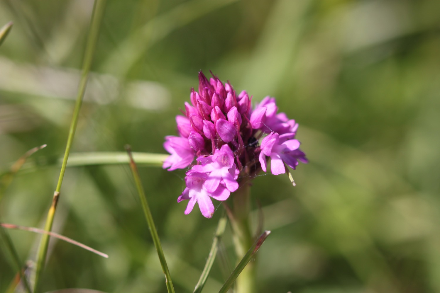
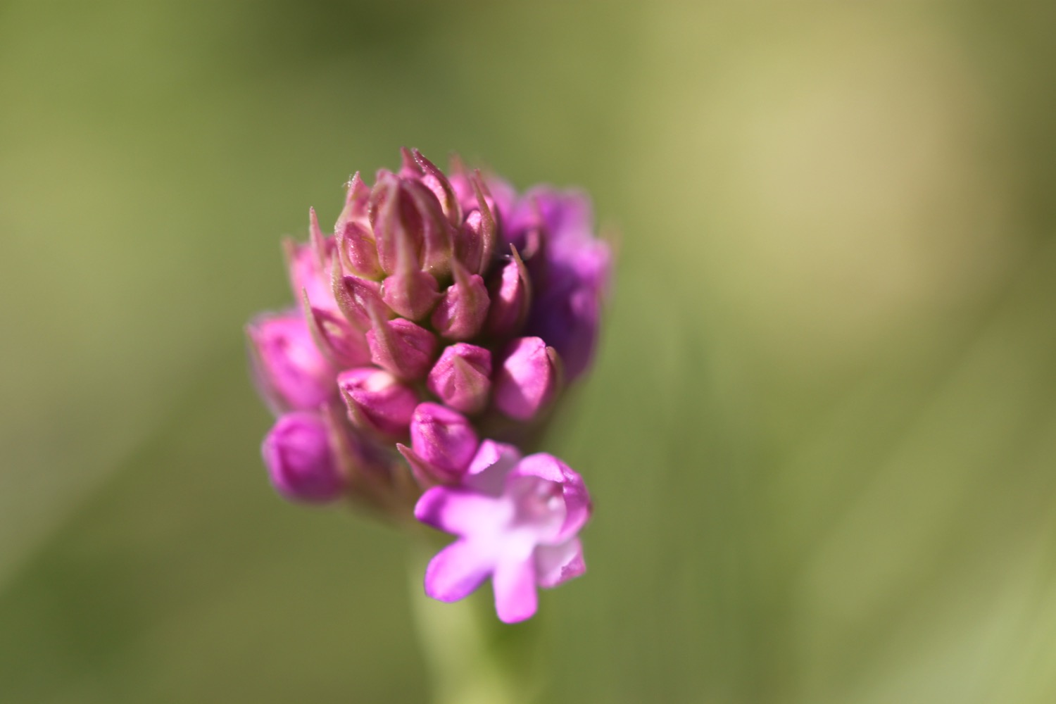
I come across a small group of pyramidal orchids, just coming into flower, and then a common blue butterfly.

The path around here is popular with dog walkers and rock climbers.

rock climber

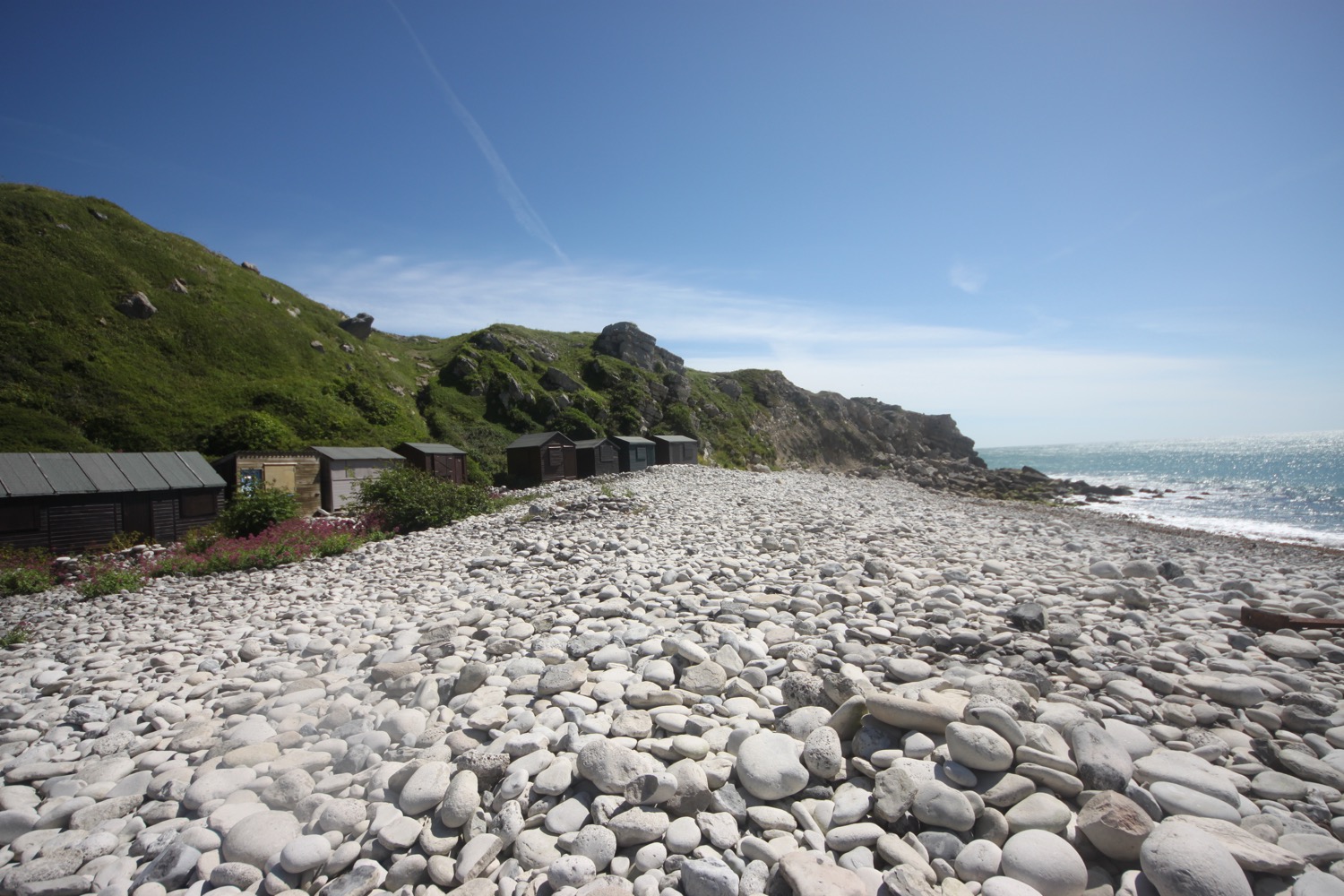
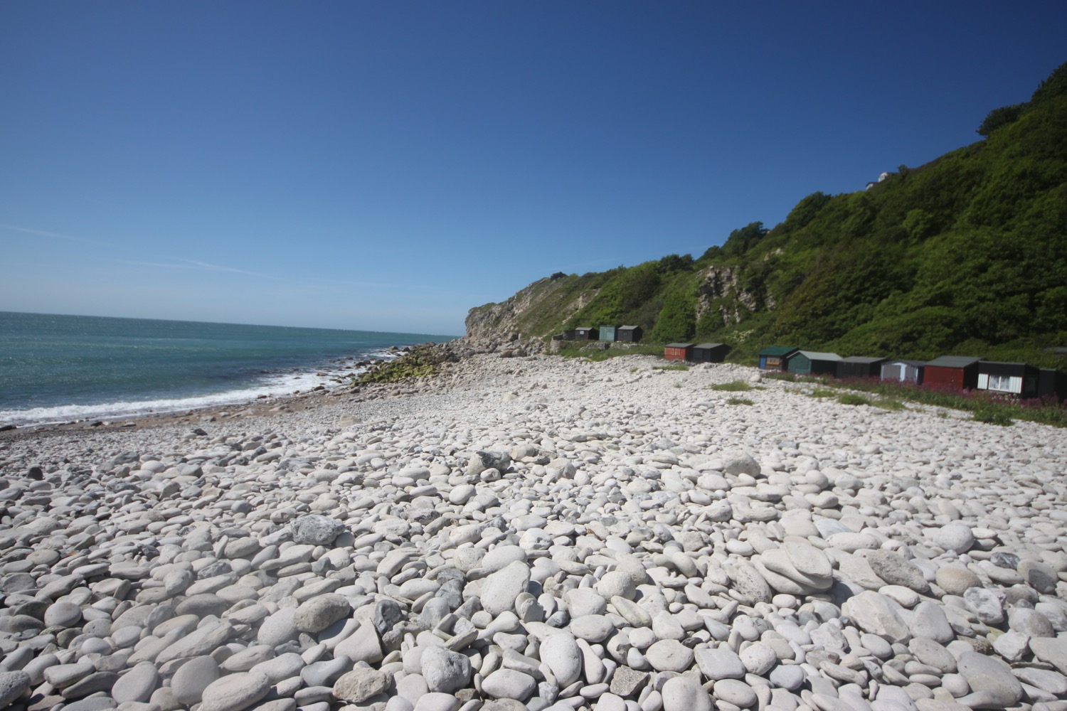
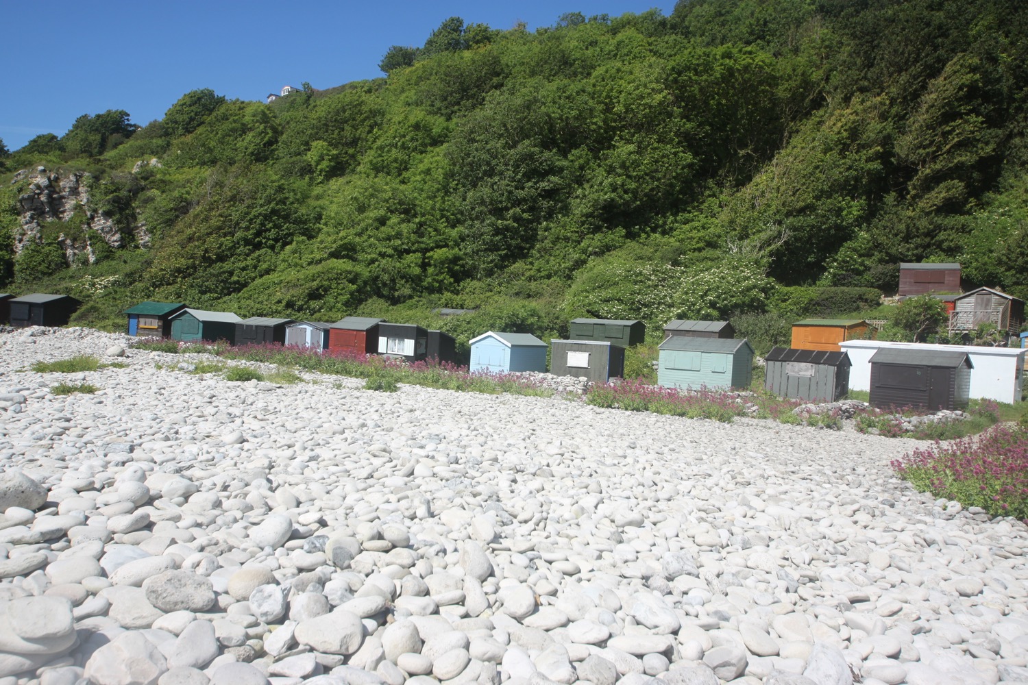
I reach a viewpoint and then climb down steps to Church Ope Cove where I walk through the beach huts and clamber out onto the pebbly beach. It is deserted except for one person who has opened up his beach hut and is braving the gales. Actually it's a bit more sheltered here but the shelter won't last for long.

I regain the coast path and walk behind the beach huts before climbing up through abandoned quarries where I come across a few more pyramidal orchids.

abandoned quarry

I head along a grassy verge beside the road to reach a viewpoint at Cheyne Weare. A sign here claims that I can see the chalk coastline along Weymouth Bay, the Purbecks, St Albans Head near Swanage and Lulworth Cove. For a change it's absolutely true!

view from cheyne weare

view from cheyne weare

I pass Coombefield Quarry which is apparently still active although I see no signs of life and it's coming to the end of its life anyway.

I recall following the road here but a coast path sign points through abandoned quarries where I enjoy more of the wildflowers.

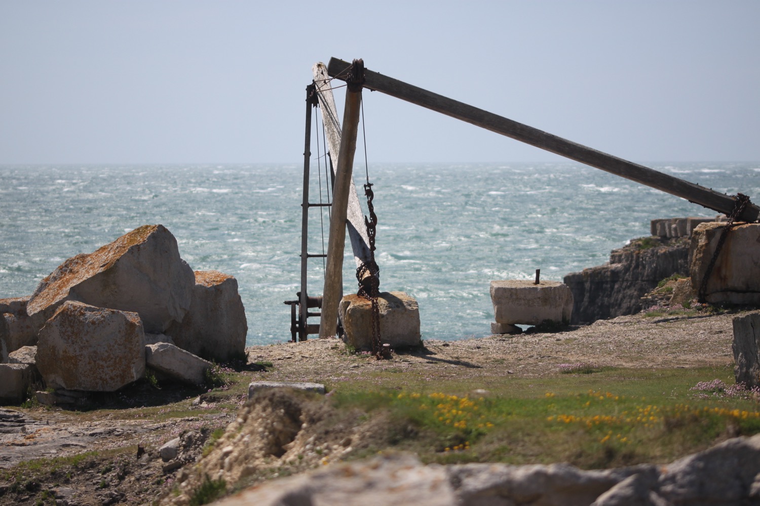
I amble along paths through the quarries where I come across some hand cranes. It's rather enjoyable if a little on the windy side.

I pass Cave Hole, a large cave with a blow hole, but I'm now walking in an easterly direction and the westerly wind is blasting in my face so it's not a time to stop.

I head along the grassy paths towards the red and white lighthouse at Portland Bill where the Lighthouse Visitor Centre can be found.

red and white lighthouse

I continue around Portland Bill, passing the beach huts where I continue to be blasted by the wind. Most people are dressed as if for winter but I'm foolishly wandering along in shorts and t-shirt!

beach huts

I pass the Lobster Pot Restaurant and a coast path stone informs me that I'm 581 miles from Minehead and 49 miles from Poole. For once the miles seem to be roughly accurate. I was born in Poole 50 years ago to this day.

happy birthday to me
happy birthday dear me
happy birthday to me

Pulpit Rock stands offshore and a couple of nutters have climbed onto the rock despite the gales.

pulpit rock

It's now time to leave Portland Bill and I head up the grassy slopes passing the National Coastwatch Station and a disused lighthouse.

portland bill

I'm now exposed to the worst of the icy blasts so there's not much more I can do other than grab hold of my hat to stop it blowing away across Portland and continue along the grassy slopes.

I now have lovely views across Chiswell and Chesil Beach but I can barely hold the camera straight in the wind.

chiswell and chesil beach

The path ahead is closed due to cliff falls so I'm diverted inland through quarries where I get a bit of respite from the winds. This part of the path seems to have been closed since 16th April 2017.

path closed

I leave the quarry and come across a memorial to the late Keith Brown (Browner), a huge Liverpool Football Club supporter.

browner

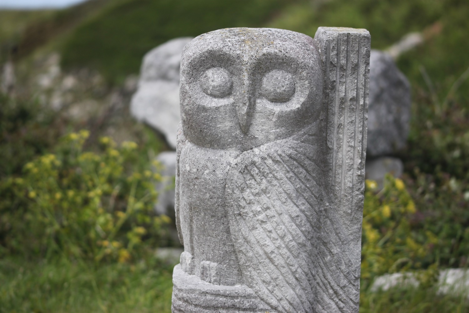
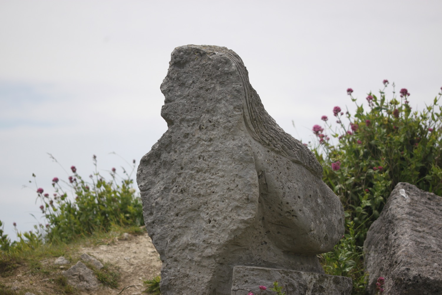
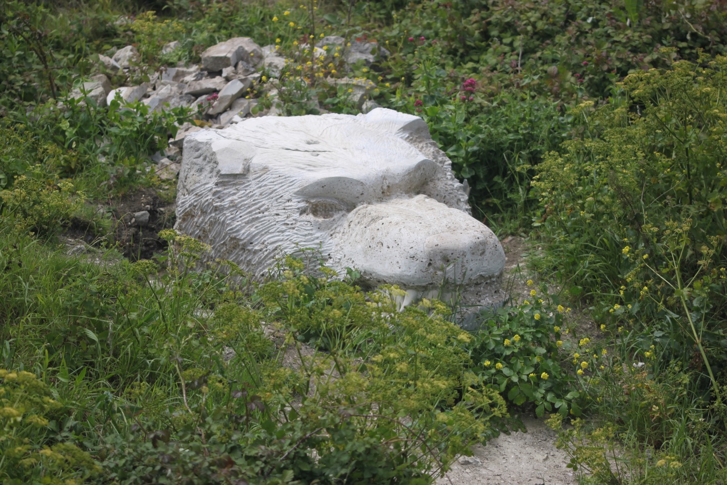
I come across another path closure, this time dating from 13th April 2016, and I'm diverted into Tout Quarry. The quarry is now disused and contains a sculture park which is well worth visiting and is also a nature reserve. I spend a bit of time photographing some of the sculptures. As I leave the quarry I come across a hummingbird hawk-moth but it's flitting about too much to be photographed.

I leave the quarry and head along the coast path again and I have magnificent views overlooking the mighty arc of Chesil Beach.

overlooking chesil beach

I wander down the path a bit to visit the 'Spirit of Portland' sculpture, showing a fisherman and a quarryman.

spirit of portland

I climb steeply down at West Weare and have one last fantastic view in front of me over Chesil Beach before I pass by the now derelict and rather sad looking Underhill Community Junior School.

chesil beach

I pass  the Cove House Inn and head inland where I pass the Bluefish Cafe and what appears to be the now closed Little Ship pub and the long derelict Royal Victoria Lodge. This pub was closed the last time I walked here in 2013.

That's the end of my walking around the Isle of Portland and it's now a noisy end to the walk along the busy A354 back to the car park at Ferrybridge where my lift awaits. The wind continues to blast across me and Chesil Beach gives me little in the way of protection. As I approach the car park a skylark bursts into song again, ignoring the icy winds. What cheerful fellows they are! Maybe it's the same skylark who greeted me this morning.

FLORA AND FAUNA

Flora and fauna encountered on the walk today includes :-

  • skylarks
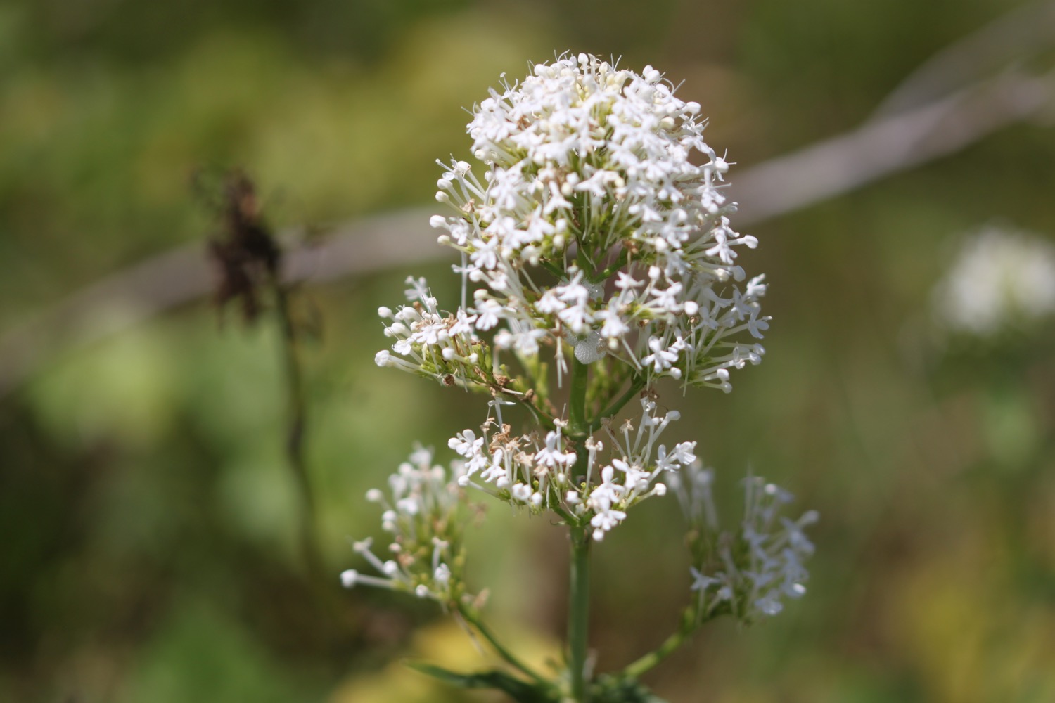
  • white valerian
  • pied wagtails
  • red valerian
  • small tortoiseshells
  • swallows
  • echiums
  • speckled wood butterflies
  • poppies
  • ribwort plantain
  • agapanthus
  • mesembryanthemums
  • wall brown butterflies
  • red admirals
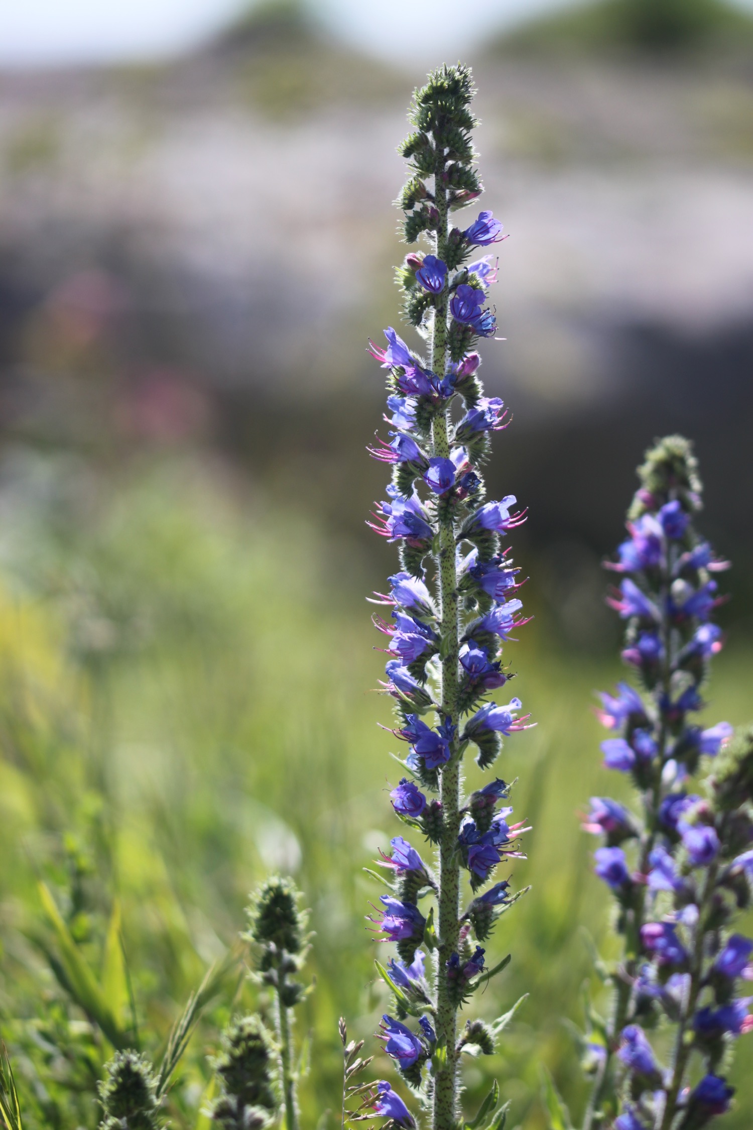
  • viper's-bugloss
  • herb robert
  • honeysuckle
  • pyramidal orchids
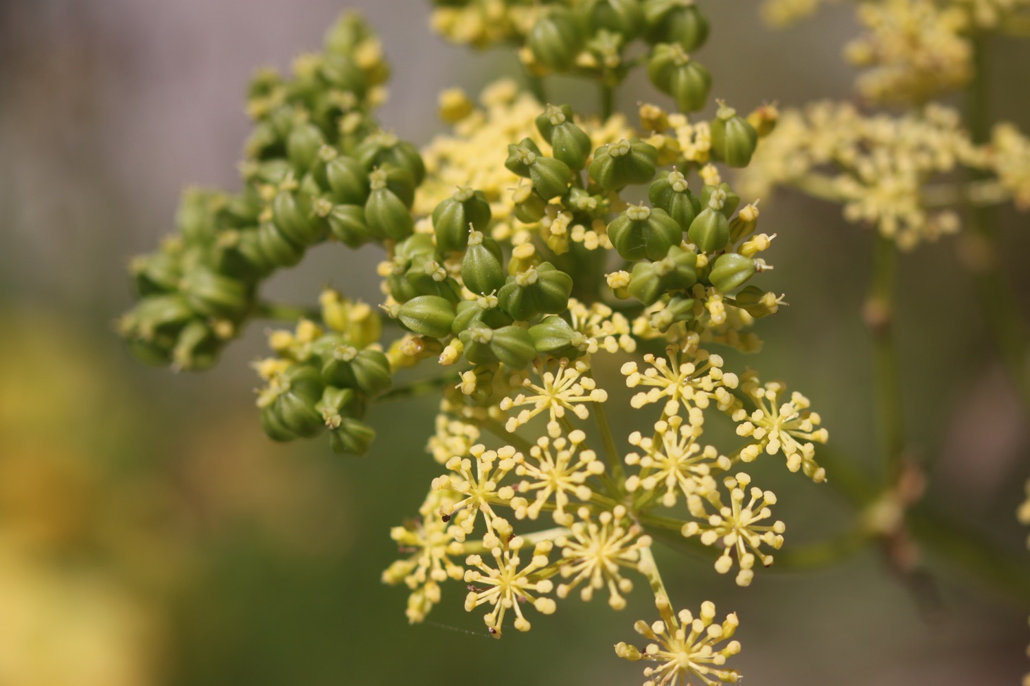
  • alexanders
  • fennel
  • hummingbird hawk-moth

PODCAST

The podcast of today's walk is now available. You can subscribe via the iTunes store or listen using the player below.

Conditions were terrible for recording today due to the high winds so I've done the best I can with the podcast.

MARKS OUT OF TEN?

According to my phone I've walked 13.3 miles today which amounts to 29802 steps. It has been a cold day tackling biting westerly winds in just a t-shirt and shorts but the walking has been lovely. The BBC weather forecast was utter rubbish. Nine out of ten!

My total ascent today has been 167 metres or 547 feet. The elevation graph still doesn't look correct but is much better than the previous two days.

elevation.jpg

MAP

westland lynx helicop

blowing a gale

towering cliffs

lighthouse

chesil beach

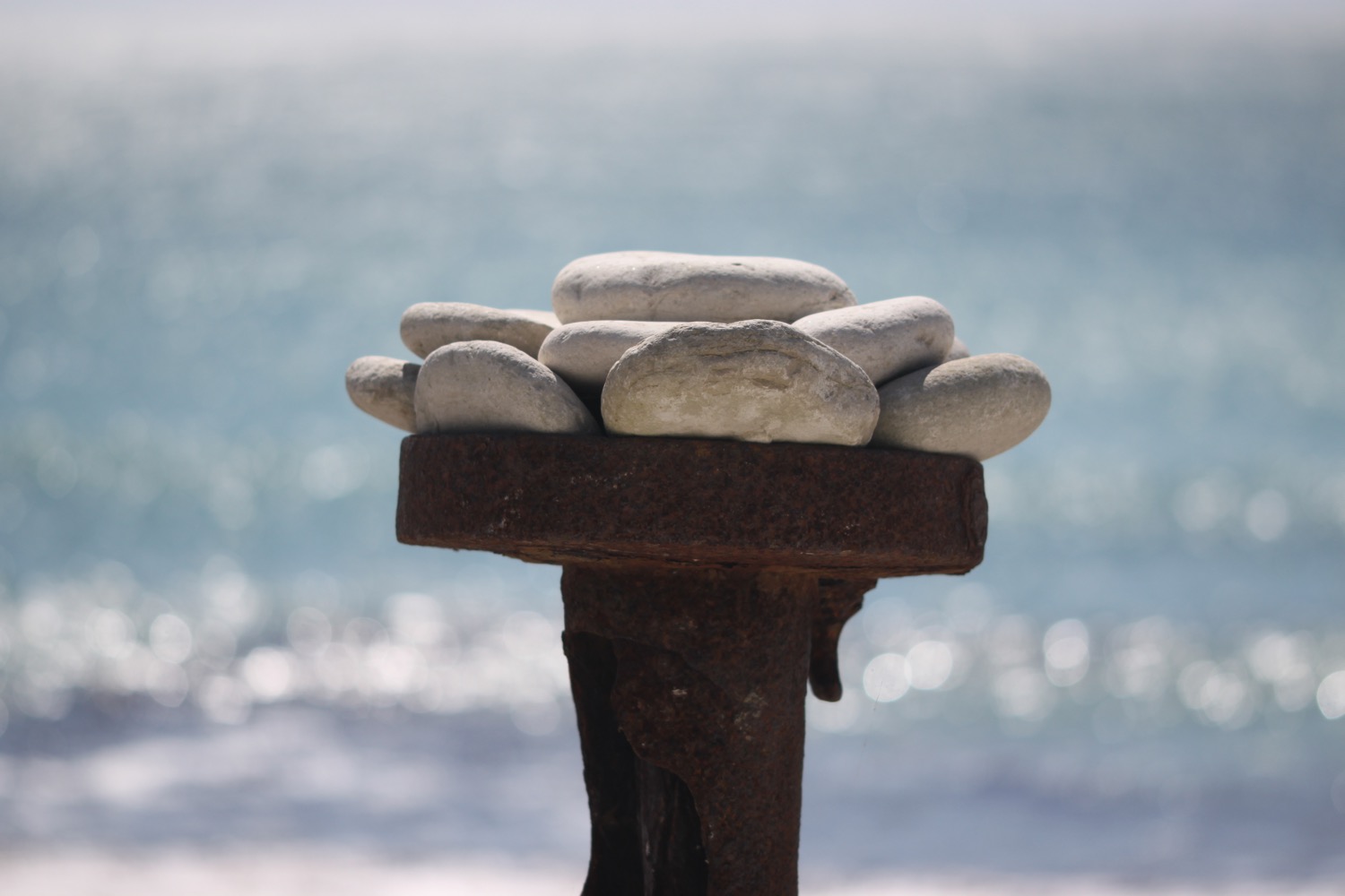
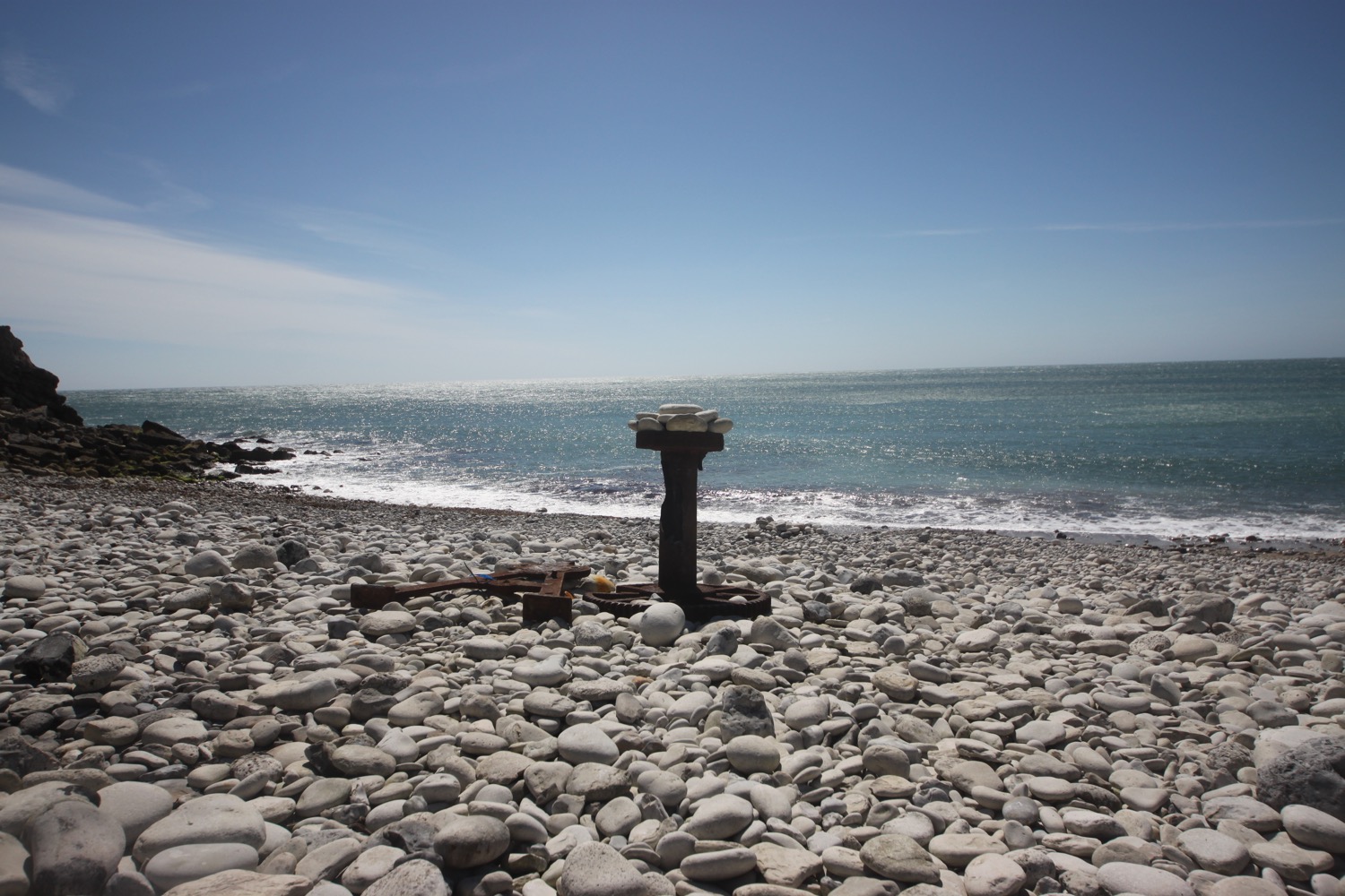
beach collection

worth matravers to south haven point

SOUTH WEST COAST PATH

tuesday, 6TH june 2017

Today's weather forecast doesn't look very good and I could be in for a very blustery day. For some reason the wind speeds on my weather forecast app are completely different on my iPhone and iPad. It has not been a good week for reliable technology.

Poole high tide 06:17

Poole low tide 15:03

I start the day back at the Square and Compass pub in Worth Matravers and it is indeed a blustery start to the day.

It is clear as soon as I reach the coast that things are awry and the weather is a lot worse than either of my forecasts suggests and I get blown off of my feet several times in the blasting wind on the path to St Aldhelm's Head. This is far too dangerous to walk in.

I make it, somehow, to St Aldhelm's Chapel and, fortunately, the door is open so I shelter inside for 15 minutes hoping that the winds will die down. They don't so the tough decision is made to abandon the walk. This is the first time I've ever abandoned a walk.

I head along a track inland that takes me back to Worth Matravers.

inside st aldhelm's chapel

lulworth cove to worth matravers

SOUTH WEST COAST PATH

sunday, 4TH june 2017

Today's weather forecast looks to be pretty good although those temperatures don't look particularly high.

Mupe Bay low tide 08:15

Mupe Bay high tide 16:21

The last time I walked over the Lulworth Ranges was 5 years ago and it was a filthy day. The rain was literally washing the coast path away as I was walking along it and a huge stretch of the coast path was closed shortly afterwards and for a long period of time. Time has passed though and the coast path is back open now.

I start the day back at the car park above Lulworth Cove and wander down through Lulworth village passing the Lulworth Heritage Centre. I head out to Stair Hole and enjoy the views across the magnificent Lulworth Cove before descending across the old village green. 

stair hole

lulworth cove

I head down to enjoy the beach and I'm not the only person doing the same thing. It is a beautiful early summer's morning.

lulworth cove beach

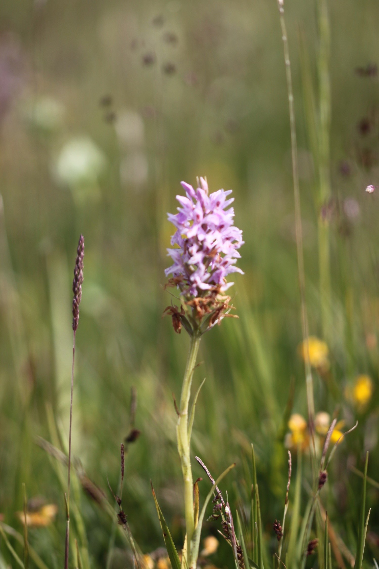
The coast path seems to have been re-routed since the last time I was here and I follow signs through West Lulworth village and more signs point inland before I climb up Bindon Hill and head off across grassy slopes. I'm now high above Lulworth Cove and I climb gingerly down some steep stone steps. The heavy back pack isn't helping. I come across a lone pyramidal orchid about half way down.

high above lulworth cove

pyramidal orchid

I reach a beach at the bottom and realize that instead of taking the rather long detour inland I could have just walked across the beach at Lulworth Cove to get here.

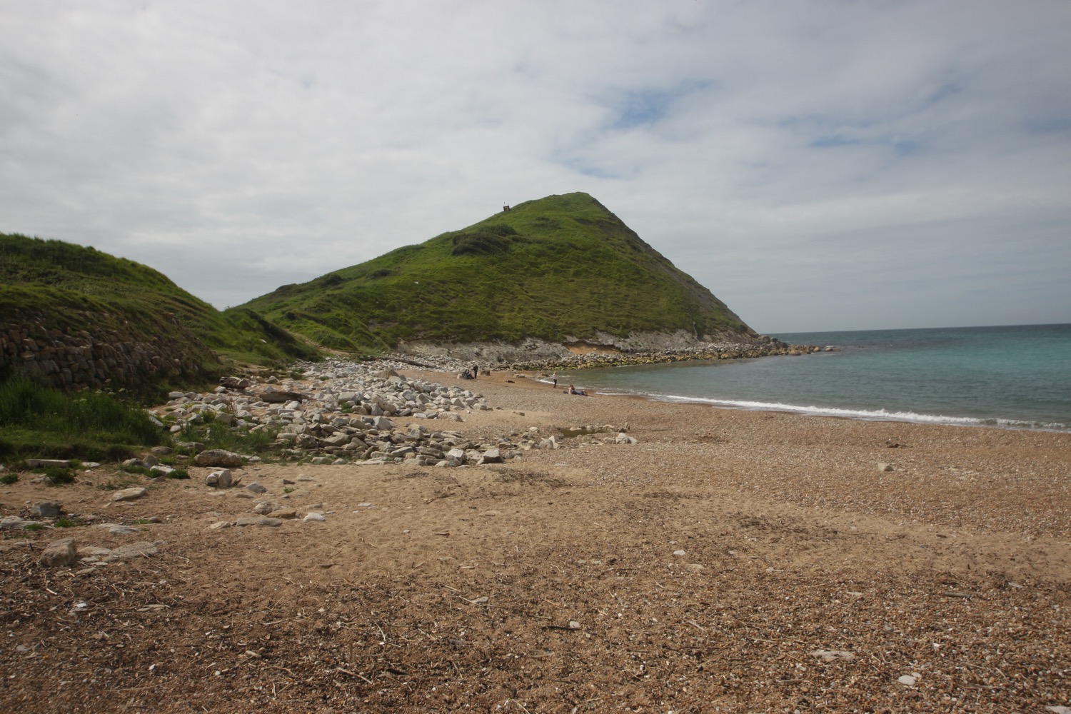
 I climb out of Lulworth Cove and have magnificent views back to Lulworth Cove from the top of Pepler's Point (not marked on my map).

view over lulworth cove

I reach Fossil Forest Gate and detour down to the right to explore the Fossil Forest, consisting of strange rounded shapes known as 'algal burrs' but a cliff fall has meant that access is currently closed. I can still make out some of the fossilized trees down below me.

closed!

fossilized trees

It's now time to enter the Lulworth Ranges at Fossil Forest Gate. I'm always worried that I've got my dates wrong and find that the gate is closed but, happily, it's open.

I can make out some more of the fossilized trees down below me from a bit further along the coast path.

more fossilized trees

I walk along a grassy path enjoying the lovely wildflowers before passing a radar station.

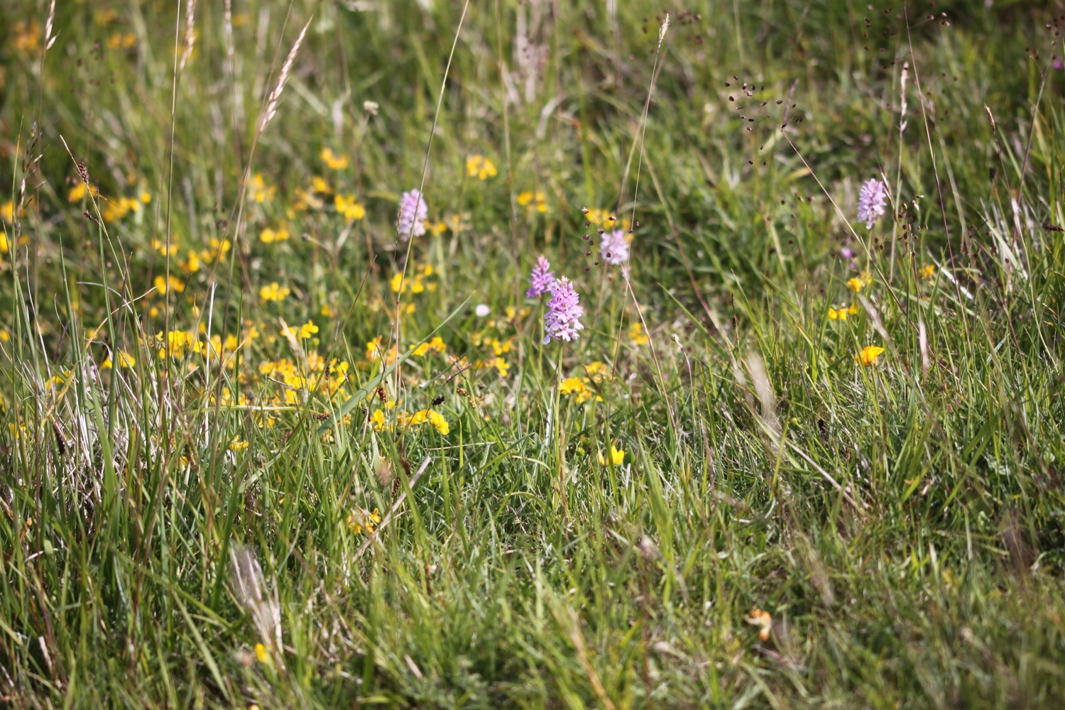
I have lovely views over Mupe Bay where I come across a large patch of common spotted orchids

mupe bay

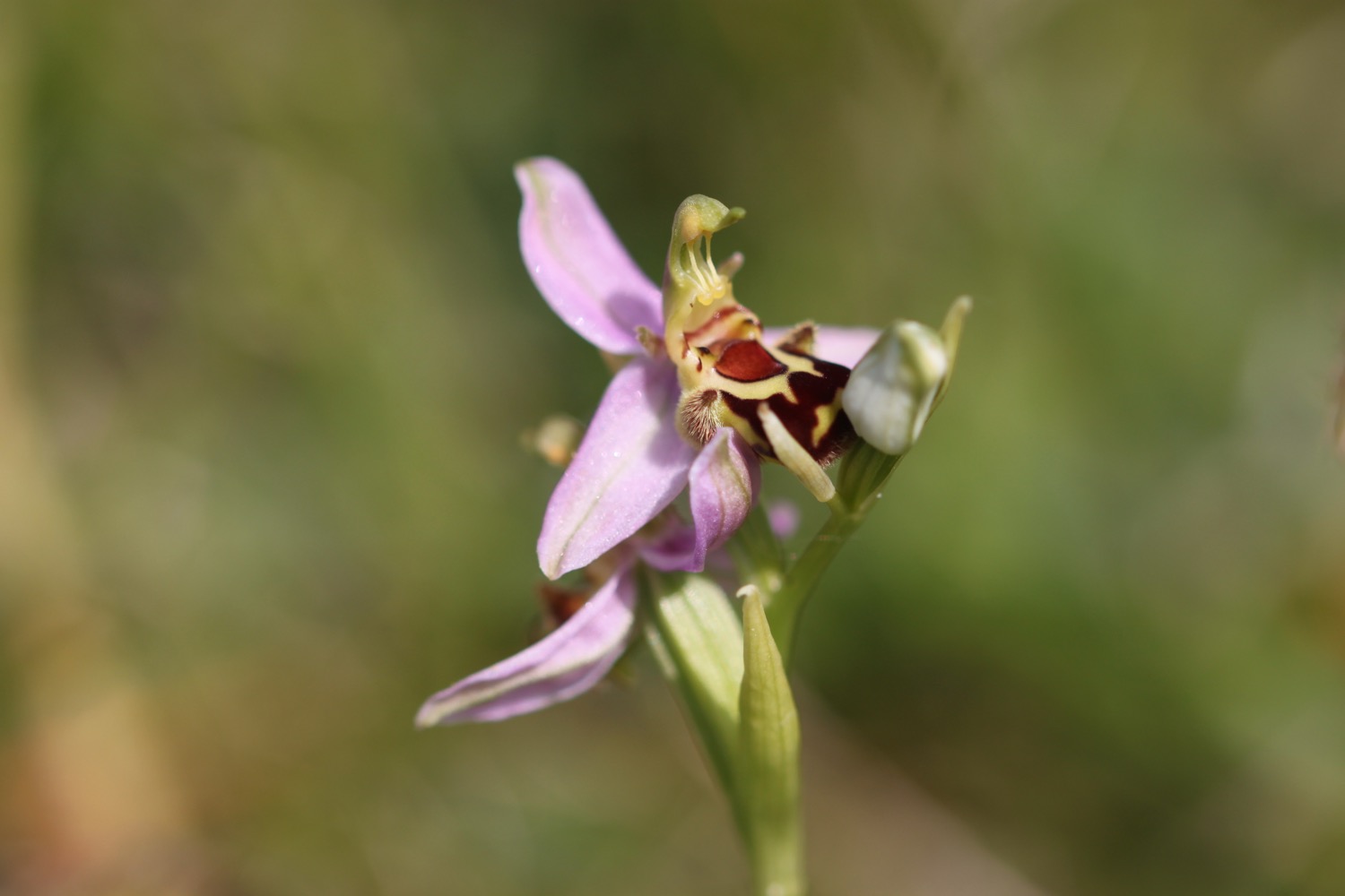
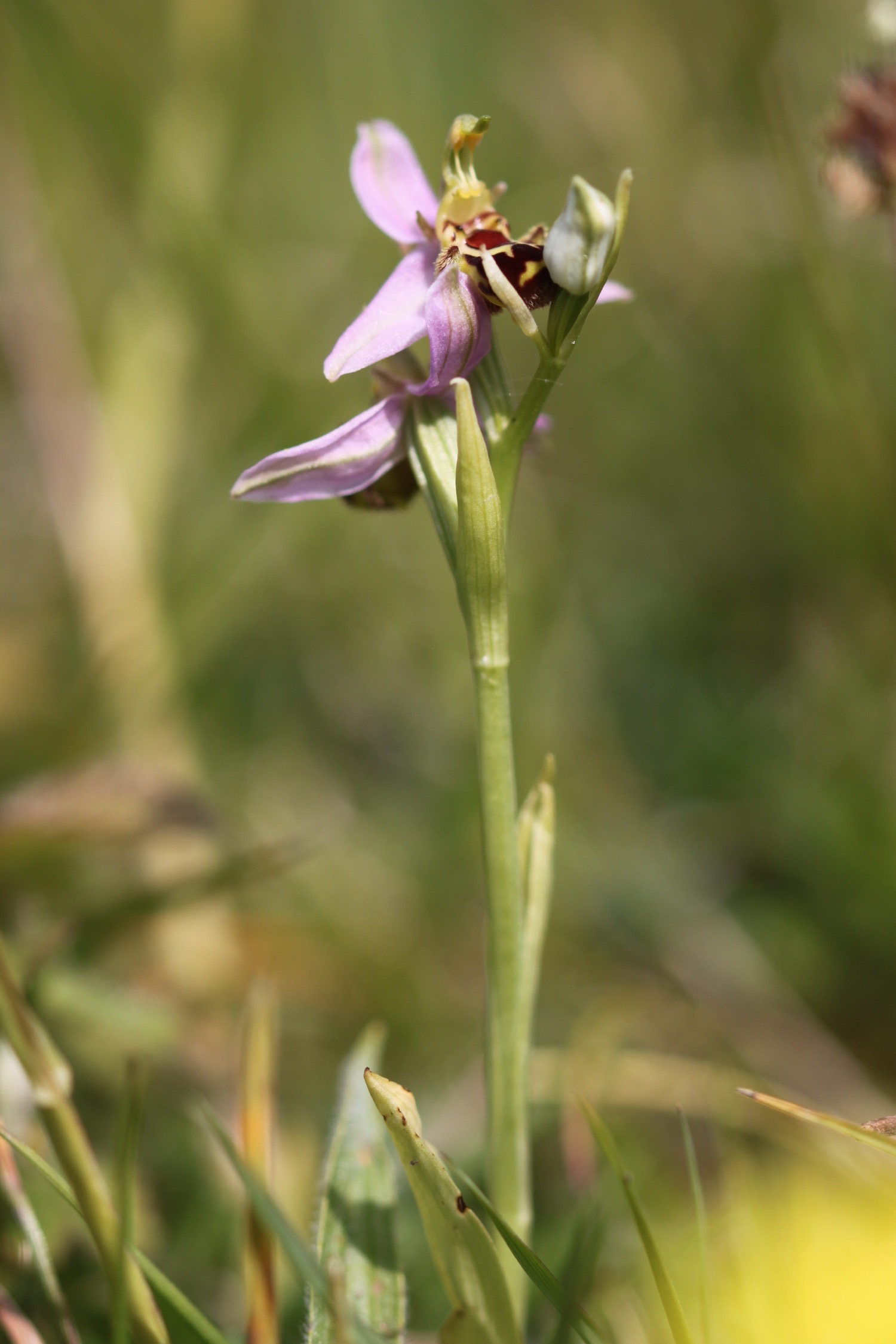
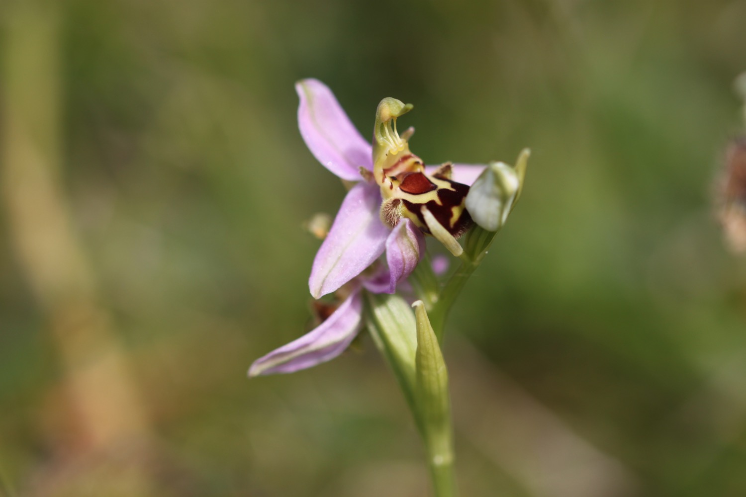
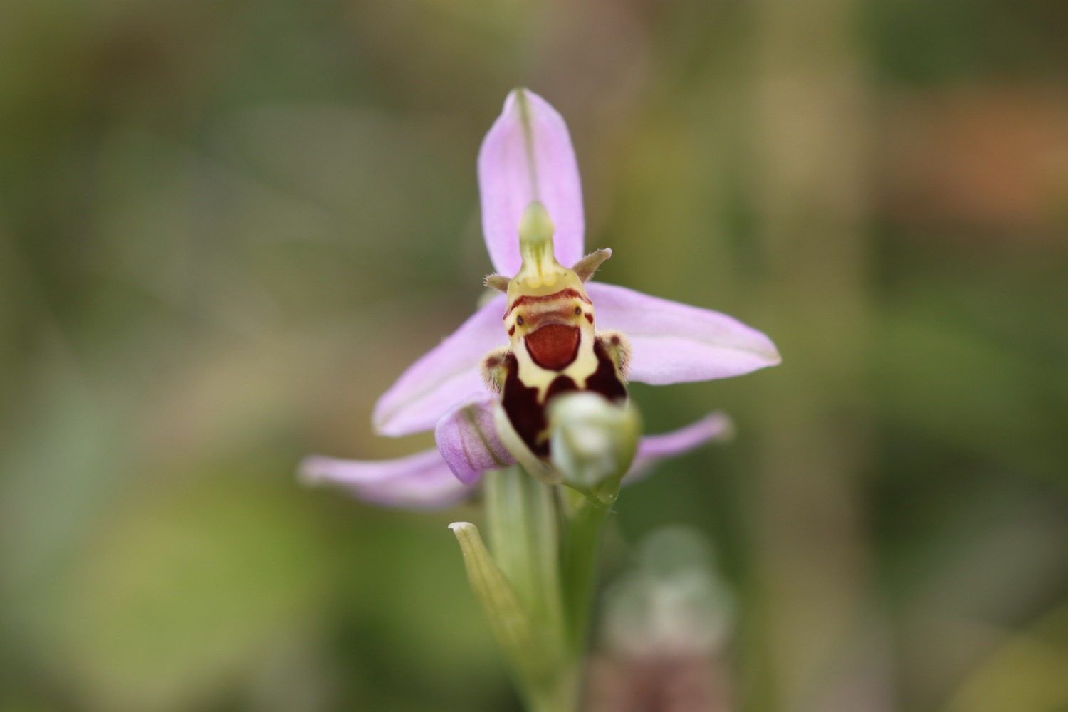
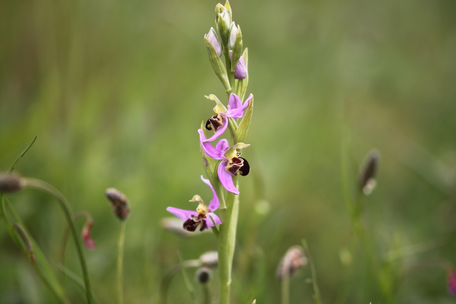
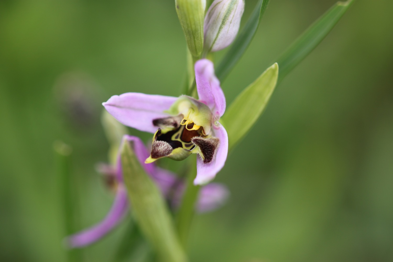
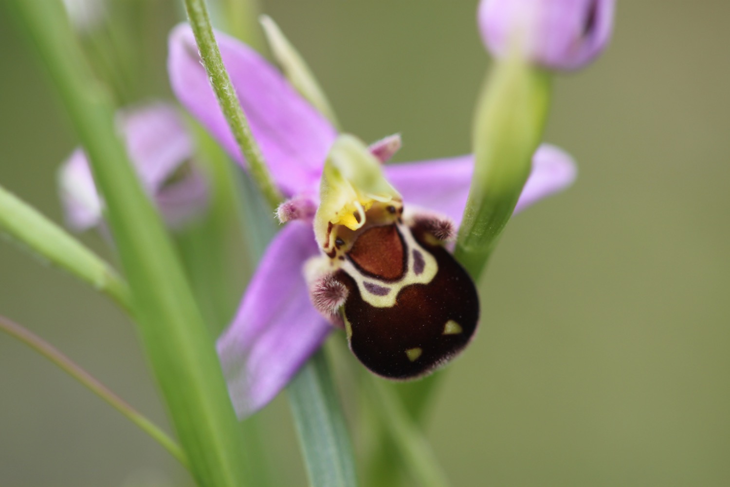
I round Mupe Bay and climb a lot of steps up the massize cliff here. I come across another lone pyramidal orchid and then a lone bee orchid.

I continue along the clifftops where I come across burnet butterflies feeding on viper's-bugloss and the slopes below me are covered in orchids, quite happily growing amongst the military shrapnel.

Signs warn me not to touch any military debris as it may explode and kill me but cows below me don't seem to be triggering any explosions. I can see burnt out tanks and other vehicles down below.

It is then a steep descent down to the beach at Arish Mell which I can easily get to but signs warn me that it is off limits. What a shame.

arish mell

I climb steeply out of the cove and come across plenty more orchids.

I now have magnificent views back from where I've come from before I amble inland away from the cliffs.

It has turned into a beautiful morning and is starting to get pretty hot. Much hotter than the weather forecast said it would. The weather was so bad last time I was here that I managed to follow the wrong path and ended up in Tyneham village. The army commandeered the village and the surrounding area in 1943 and forgot to give it back at the end of the war.

Fortunately, weather conditions are much better today and I manage to find the correct path easily and head through the ramparts of the Iron Age fort, Flower's Barrow, gradually falling into the sea.

I leave the hillfort through a gap in the ramparts and wander steeply downhill to Worbarrow Bay where I come across a patch of flag iris and some big clumps of sea thrift.

I drop down to the shingle beach and wander along it for a bit. It's rather lovely here and quite a few other people agree even though the beach is in the middle of nowhere.

I walk back up the beach and cross a footbridge before climbing back up the cliffs.

I now have fine views over Worbarrow Tout before walking along the clifftops at Gad Cliff where I pass Wagon Rock. The wildflowers are looking lovely on the cliffs and I have lovely views over the countryside down to Tyneham.

I pass Brandy Bay and Hobarrow Bay and head down through fields full of cows. My walk through the ranges is over so I leave through the exit gate at the start of Kimmeridge Bay. 

I immediately come across Kimmeridge Wellsite where I pass the nodding donkey oil pump which has been pumping oil since 1959. 

nodding donkey

I head around Kimmeridge Bay where a field trip is taking place, passing the Purbeck Marine Wildlife Reserve and Fine Foundation Marine Centre.

kimmeridge bay

purbeck marine wildlife reserve

I climb steep steps up to Clavell Tower, a grade II listed Tuscan style tower built in 1830 and owned by the Landmark Trust. It was painstakingly moved, piece by piece, inland 25 metres away from the crumbling clifftop starting in 2006.

clavell tower

It is now an uneventful walk across the cliffs along fiddly, overgrown and windy paths. I walk up and downhill, crossing footbridges and navigate a tricky stretch of the path at Houns-tout cliff where I encounter a waterfall which doesn't seem to have any water. The cliffs are covered in wildflowers but there's also rather a lot of nettles.

I come across a small patch of bee orchids just coming into flower.

I climb some steep steps up a wooded cliff to reach a stone seat overlooking the sea. I have magnificent, if rather grey now, views.

I'm now high above the rather beautiful Chapman's Pool. Five years ago it was howling a gale and hammering down with rain when I got here and I had to help a couple of fellow walkers down the steps as they couldn't stand up in the wind. It's a much more peaceful day today!

chapman's pool

It looks rather difficult to get down to the beach at Chapman's Pool, especially with a heavy back pack, but there are a few hardy souls down on the beach.

I descend down the steep flight of stone steps down to the fields behind Chapman's Pool. The coast path heads inland across fields to come across a minor road with a small car park nearby at Renscombe Farm.

This must be the road that takes me into Worth Matravers so I follow this road to reach my destination for the day the rather busy Square and Compass pub.

square and compass

I head up the road slightly to the rather large car park for a rather small village. It is packed though! What a lovely day's walking.

FLORA AND FAUNA

Flora and fauna encountered on the walk today includes :-

  • a yellowhammer
  • small copper butterflies
  • wall brown butterflies
  • red valerian
  • common bird's-foot trefoil
  • pyramidal orchids
  • common spotted orchids
  • bee orchids
  • six-spot burnets
  • viper's-bugloss
  • skipper (presumably dingy) butterflies

PODCAST

The podcast of today's walk is now available. You can subscribe via the iTunes store or listen using the player below.

MARKS OUT OF TEN?

According to my phone I've walked 14.8 miles today which amounts to 35552 steps. It has been another beautiful day's walking today. Ten out of ten!

Hmmm. My Ordnance Survey app is definitely playing up. There's no way that this graph is representative of the up and down route today. The total ascent today has been an alleged 200 metres or 656 feet.

MAP

lulworth cove

pyramidal orchid

orchids

bee orchid

clavell tower

beach collection