clovelly to hartland quay
SOUTH WEST COAST PATH
thursday, 7TH MAY 2015
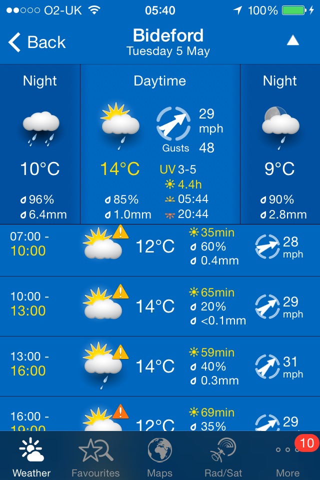
After a filthy day yesterday with heavy rain and blustery gales, today's weather forecast looks to be by far the best of the week with some sunshine, no rain and an end to the ever present gales.
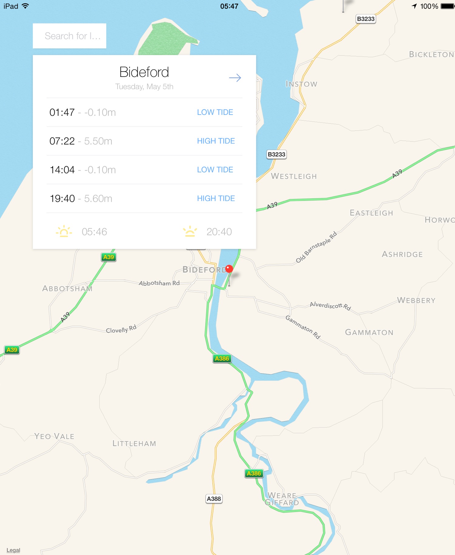
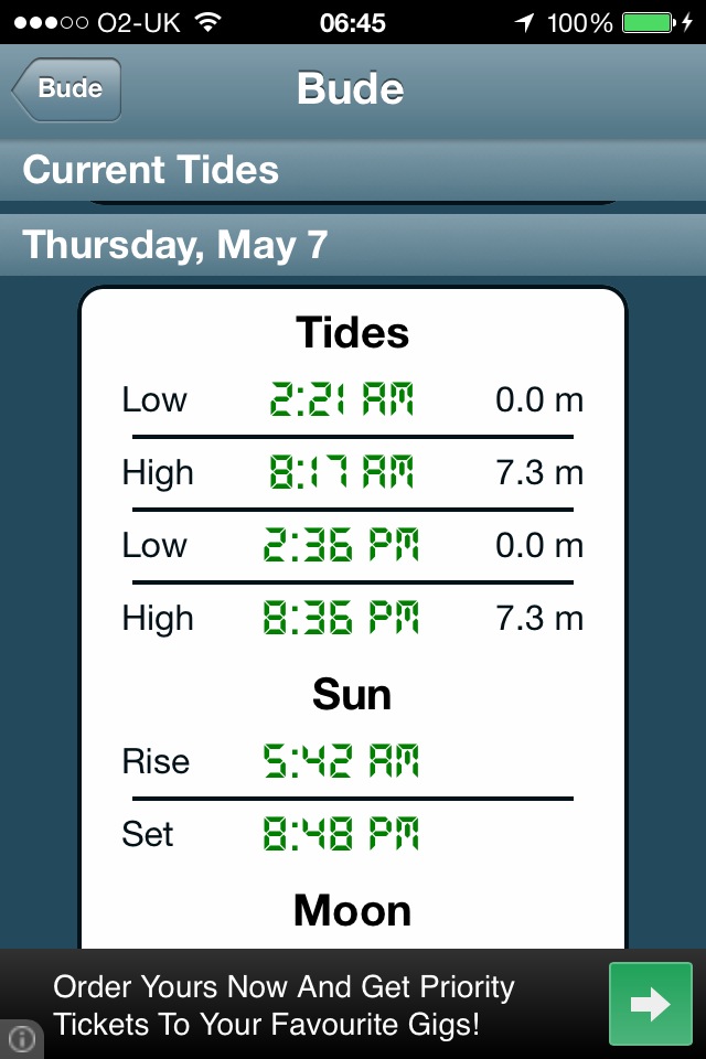
Bude high tide 08:17
Bude low tide 14:36

Today's walk is even shorter than yesterday's but there is very little civilization beyond Hartland Quay until you reach Bude so destination Hartland Quay it is!
I start the walk at the top of Clovelly in the car park next to Clovelly Visitor Centre, leaving via the road. The lanes are full of wild garlic.
I walk down the service road heading in towards Clovelly and immediately come across the friendly Clovelly donkeys in a field.
clovelly donkeys
After stroking the donkeys for a while I continue down the road to Mount Pleasant, where I admire the views overlooking Clovelly.
mount pleasant
I head back up the service road and go through a heavy, black gate and walk along a grassy track heading towards the woods.
I enter the woods, passing a shelter, leave the woods and then re-enter them. Hang on a sec! It's started to rain already and I've only just started the walk. I put on my waterproofs but fortunately it's just a shower and they soon come off again.
I reach Angel's Wings, a wooden shelter built in the 19th century by Sir James Hamlyn Williams, a former owner of Clovelly.
angel's wings
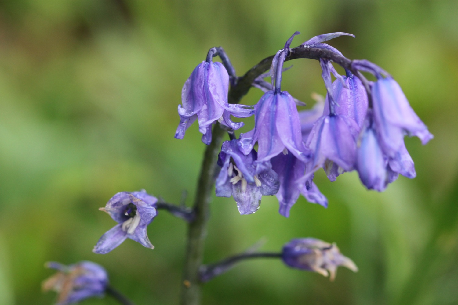
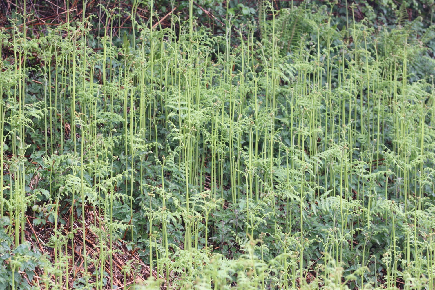
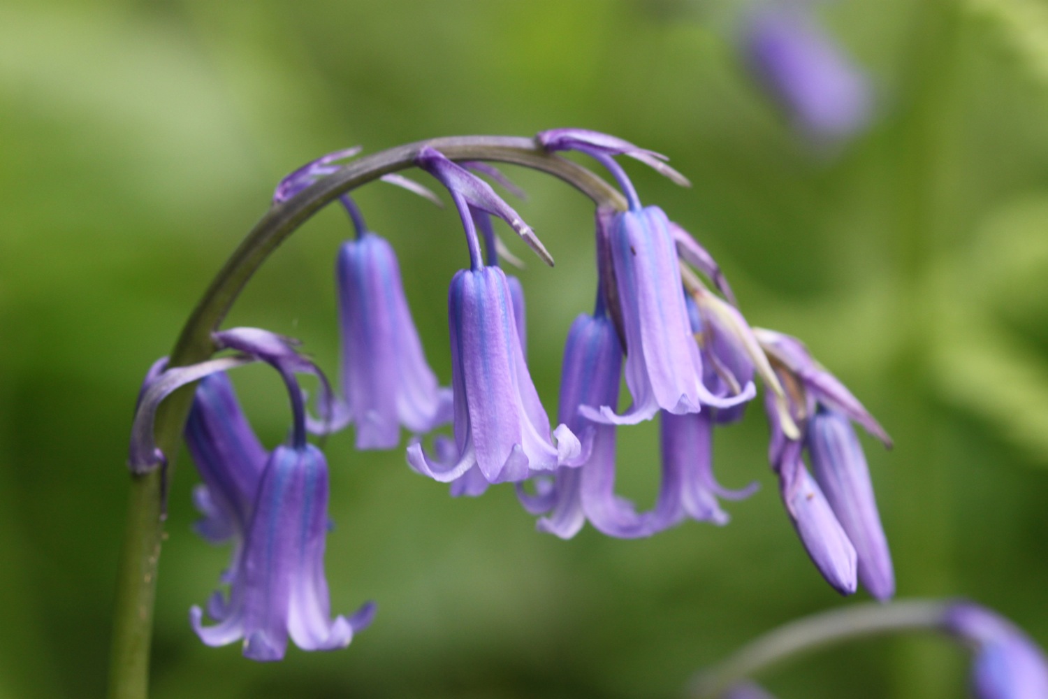
I stop for a spot of breakfast and then continue through the woods, admiring all of the bluebells.
I cross a field containing a couple of friendly ponies who proceed to pinch my sandwiches!
friendly ponies
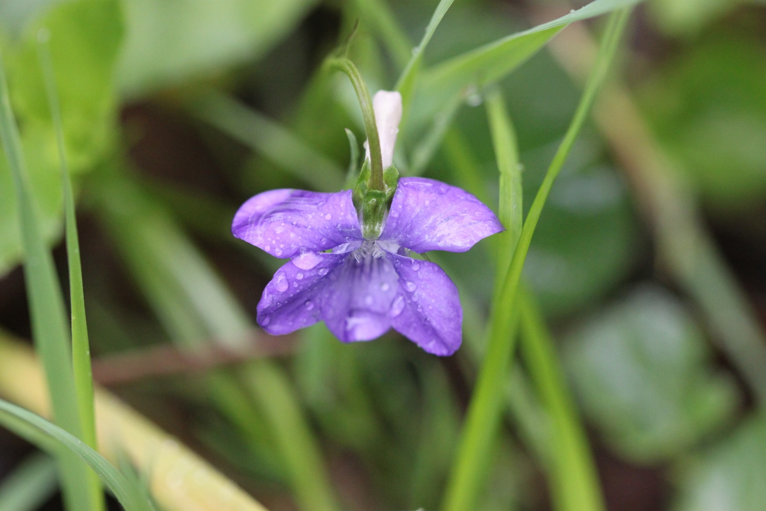
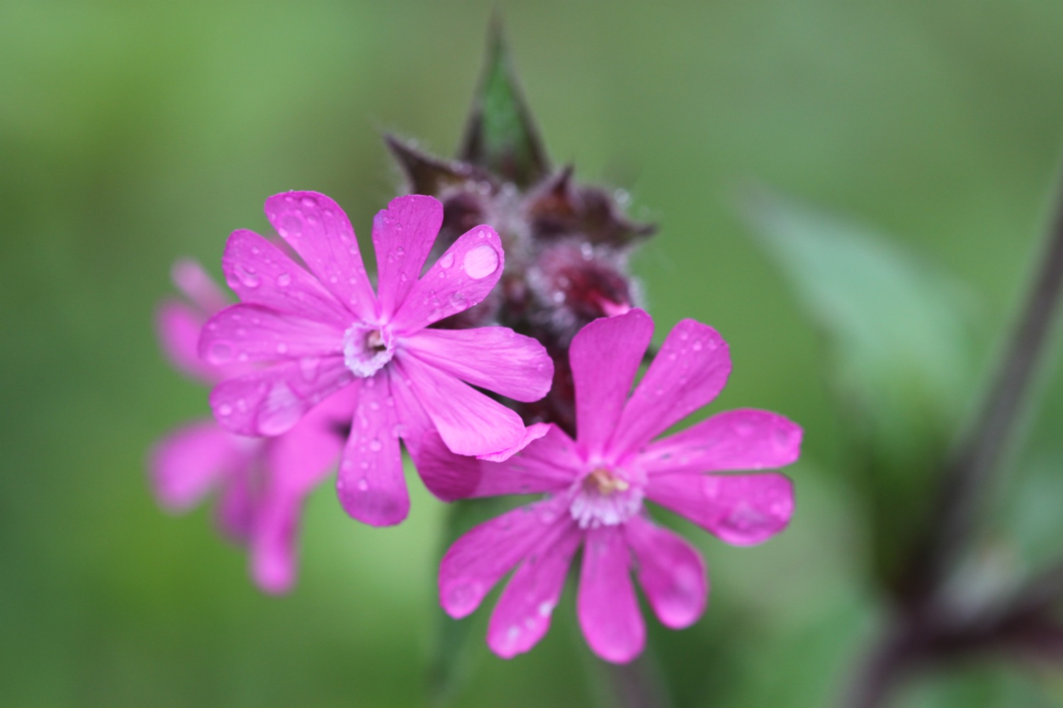
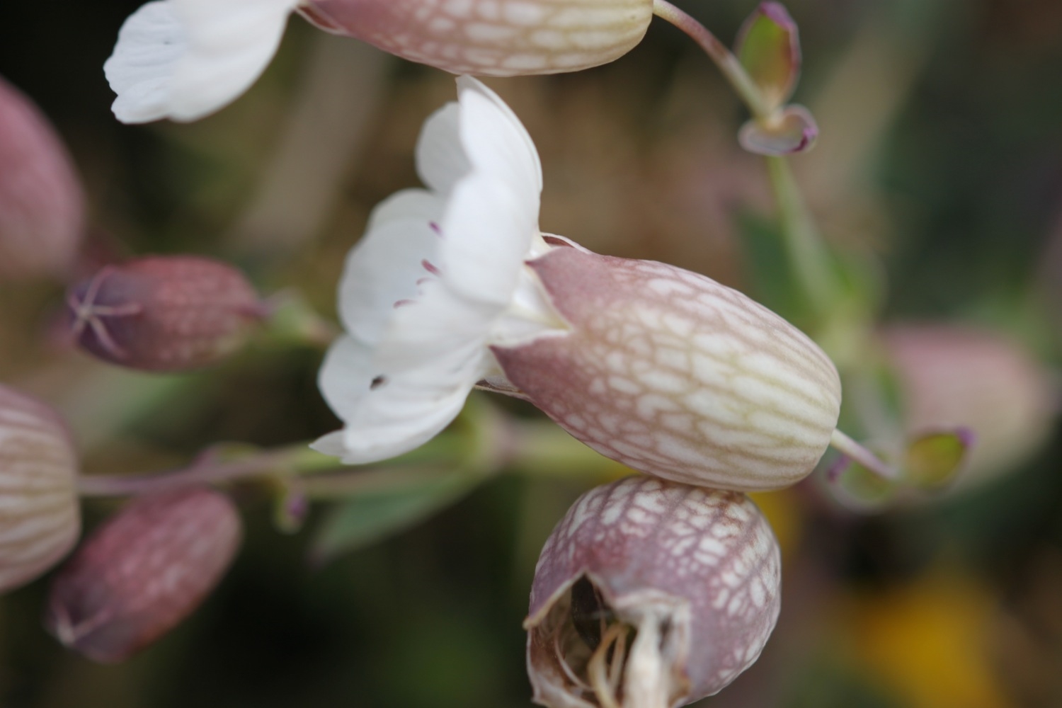
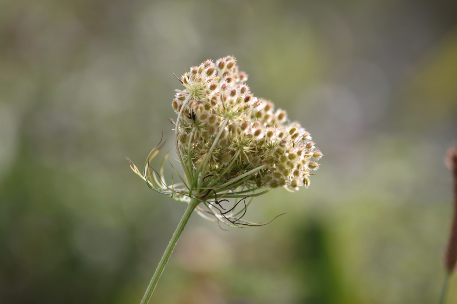
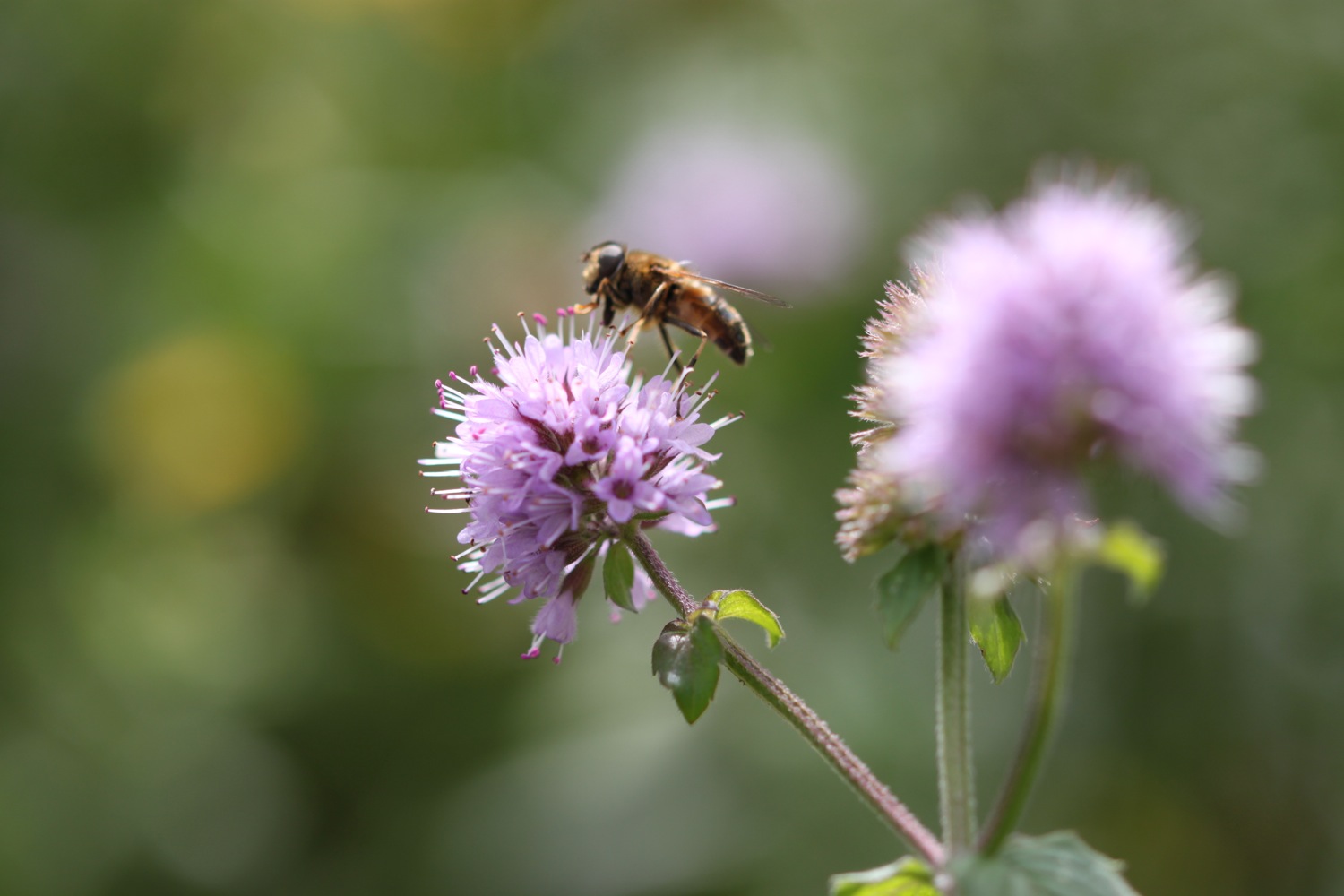
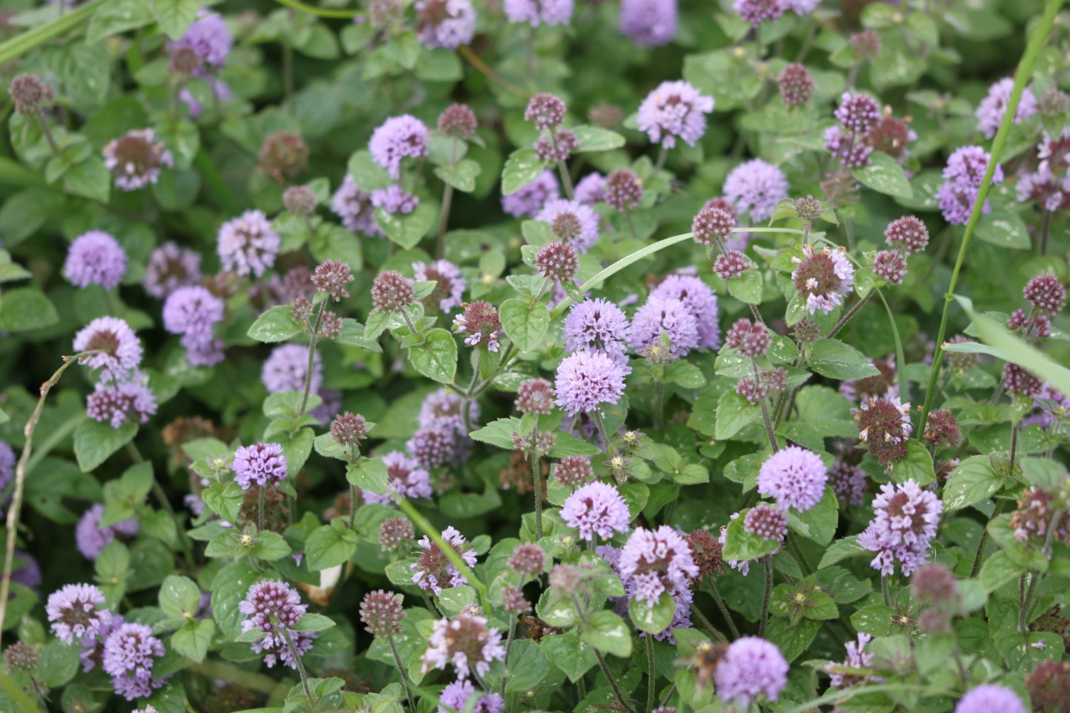
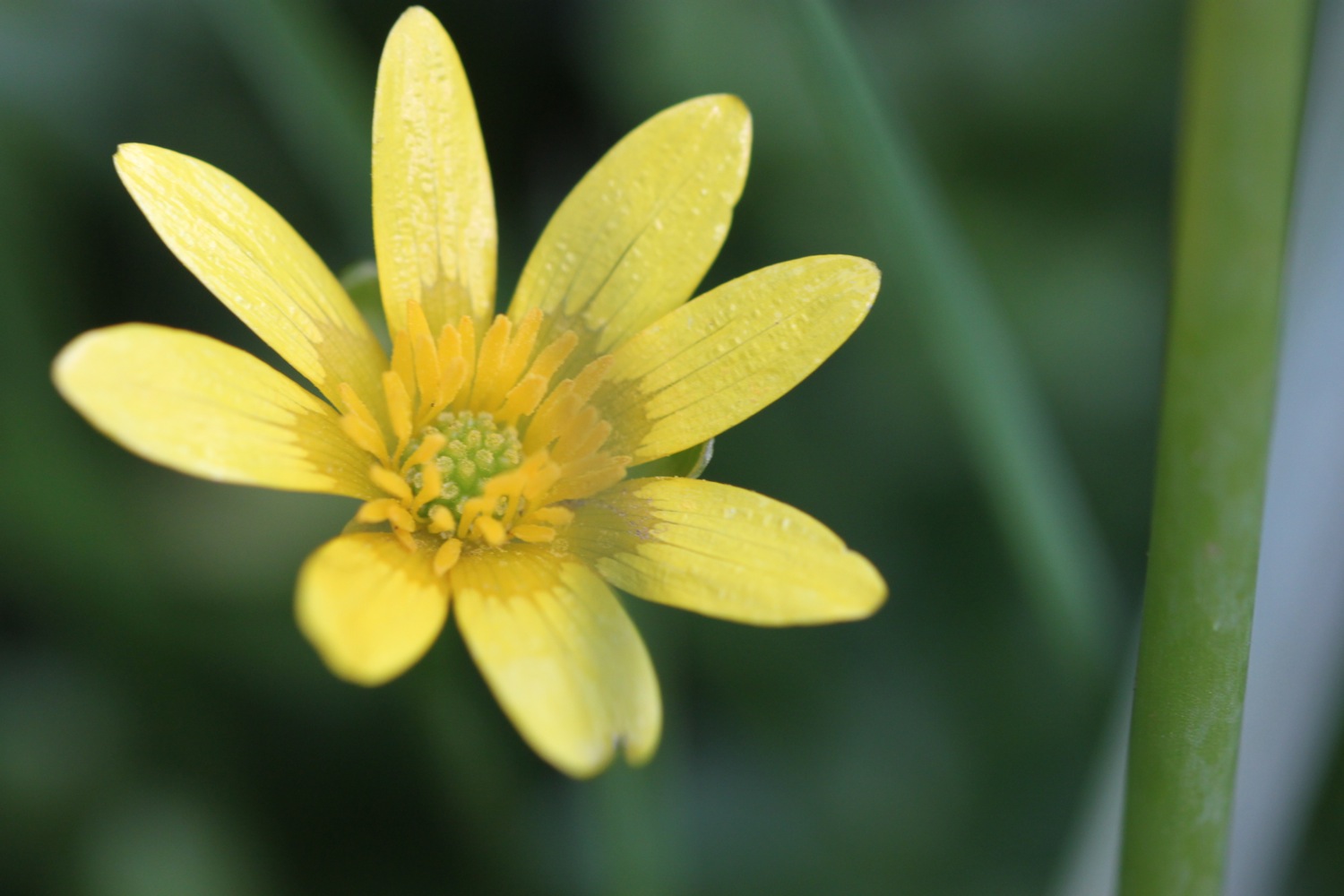
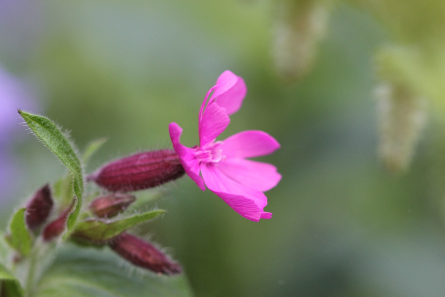
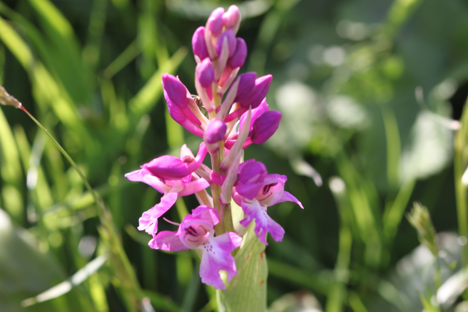
The path here is a bit fiddly and I've got lost here before but the signposting seems to be better than I remember and I make it without event to the zig zag path that leads to Mouthmill Beach. Here I come across my first orchids of the day..
orchids at mouthmill beach
I cross a stream over what looks like a brand new bridge to reach Mouthmill Beach. I'm in the middle of nowhere and yet three land rovers pass me by the bridge
The tide is too high for me to be able to walk out onto the bouldery beach over to Blackchurch Rock, a spectacular sea stack with two huge natural rock windows.
mouthmill beach
blackchurch rock
Some nutters like to climb this rock for fun!
I climb up a zig zag woodland path through Brownsham Woods where the bluebells are looking amazing and then enjoy the views back to Blackchurch Rock.
bluebells
view back to blackchurch rock
I cross fields to reach a sign pointing to the small National Trust car park a little inland.
brownsham sign
I walk through more wooded valleys and fields and eventually come to a memorial plaque in memory of the crew of a Wellington bomber which crashed here on the 13th of April 1942.
wellington bomber memorial plaque
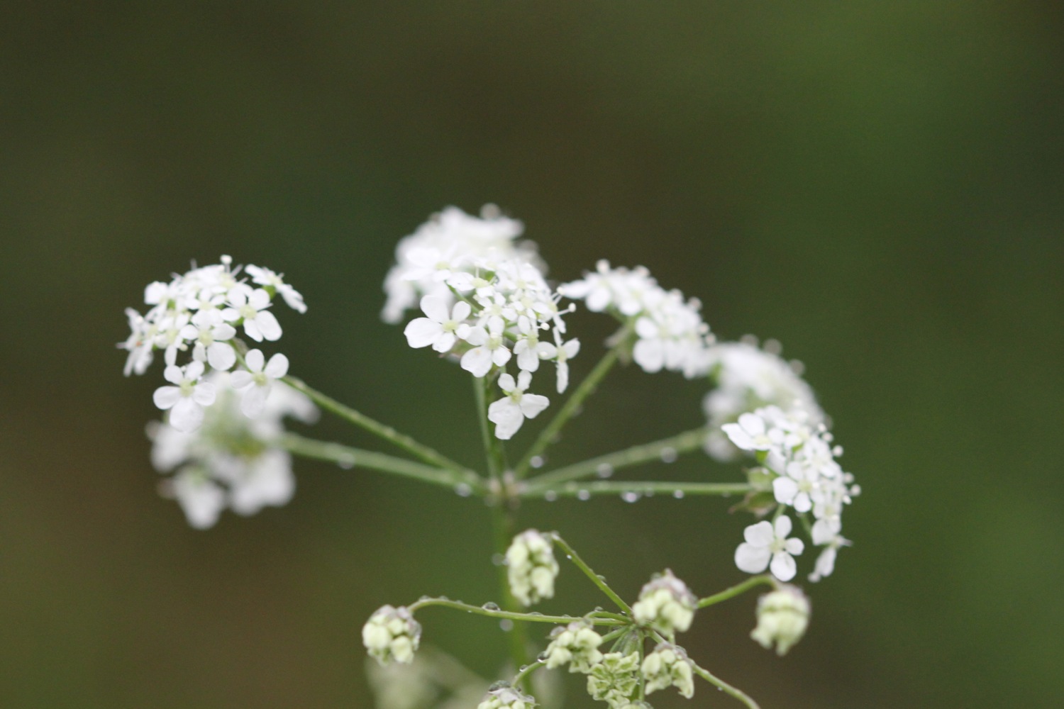
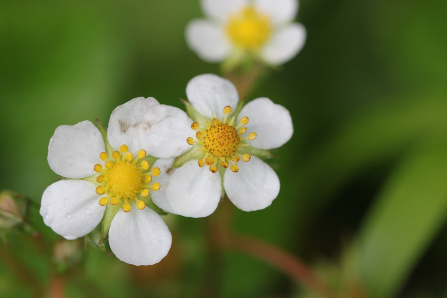
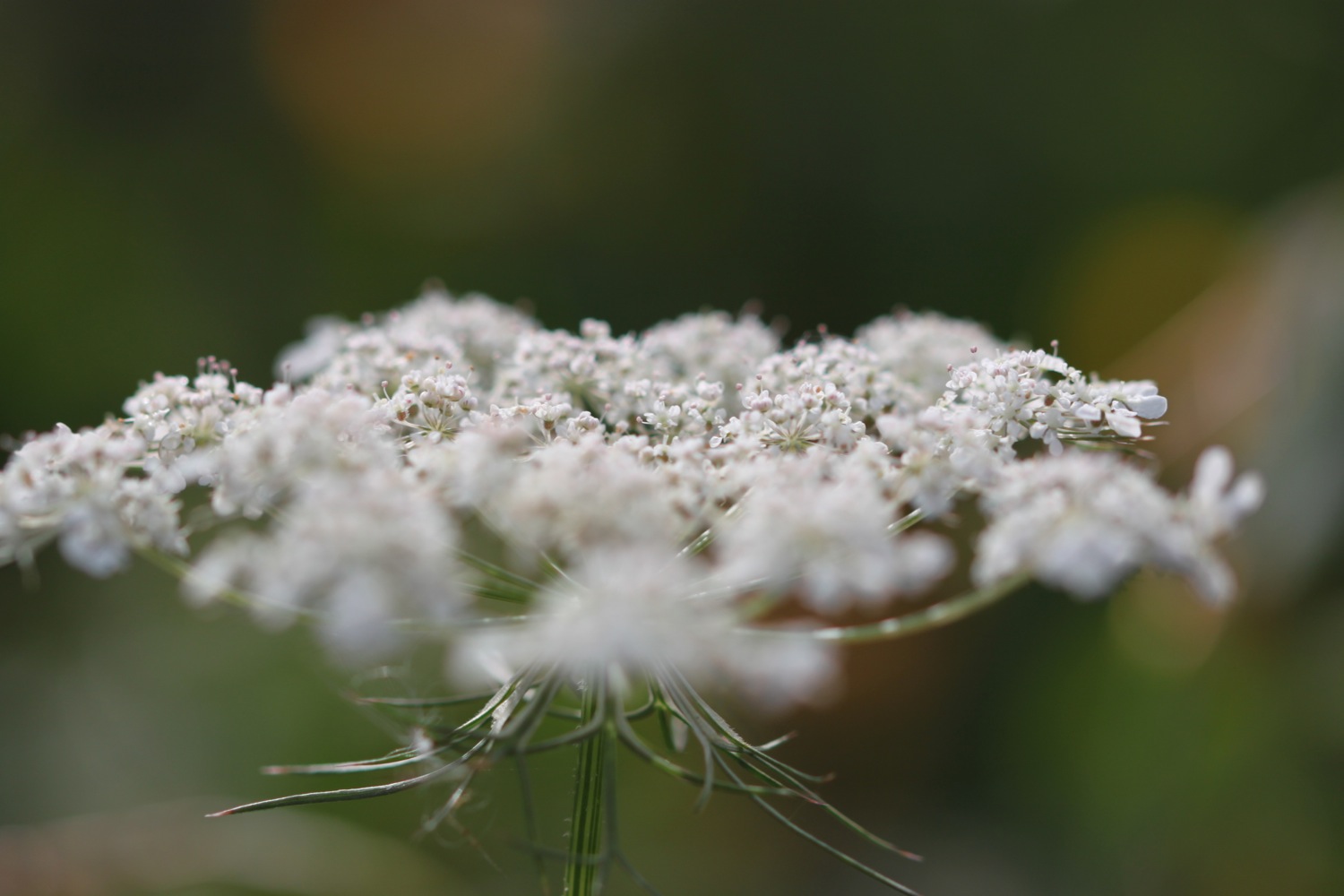
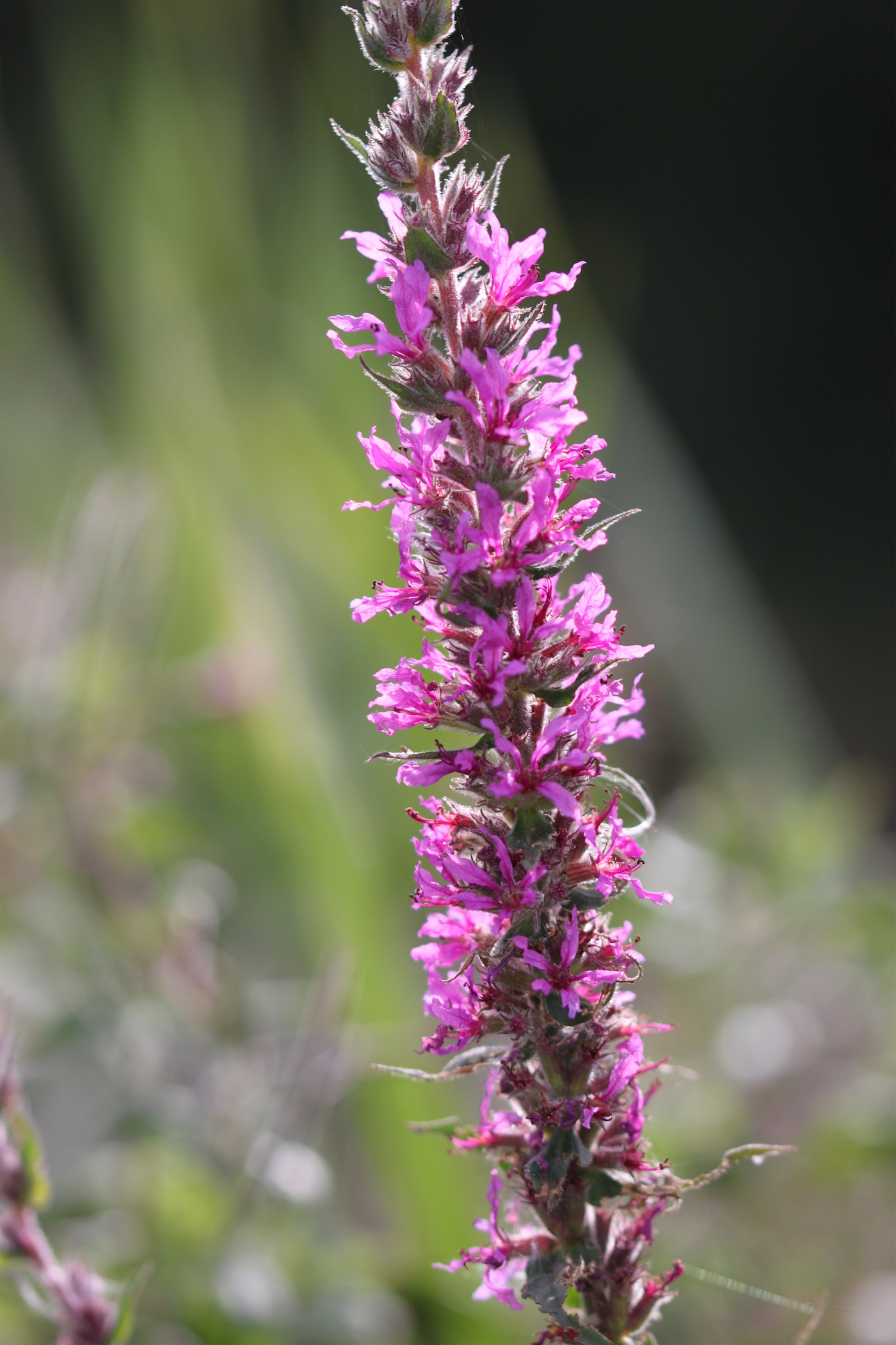
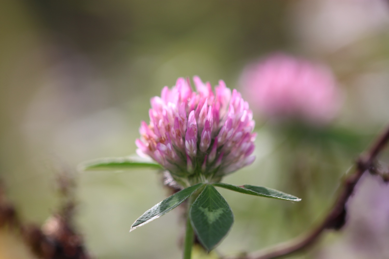
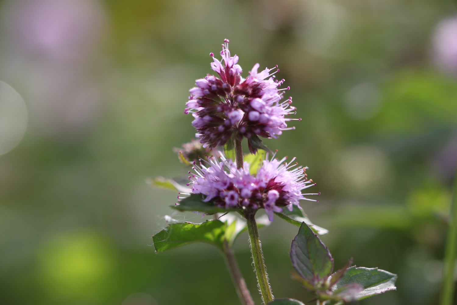
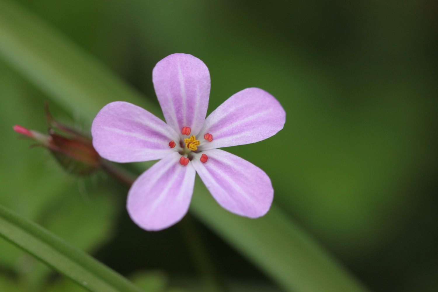
More fields, a wooded valley and a footbridge lead to a trig point at 498 feet at Chapman Rock. The various wild flowers are looking lovely.
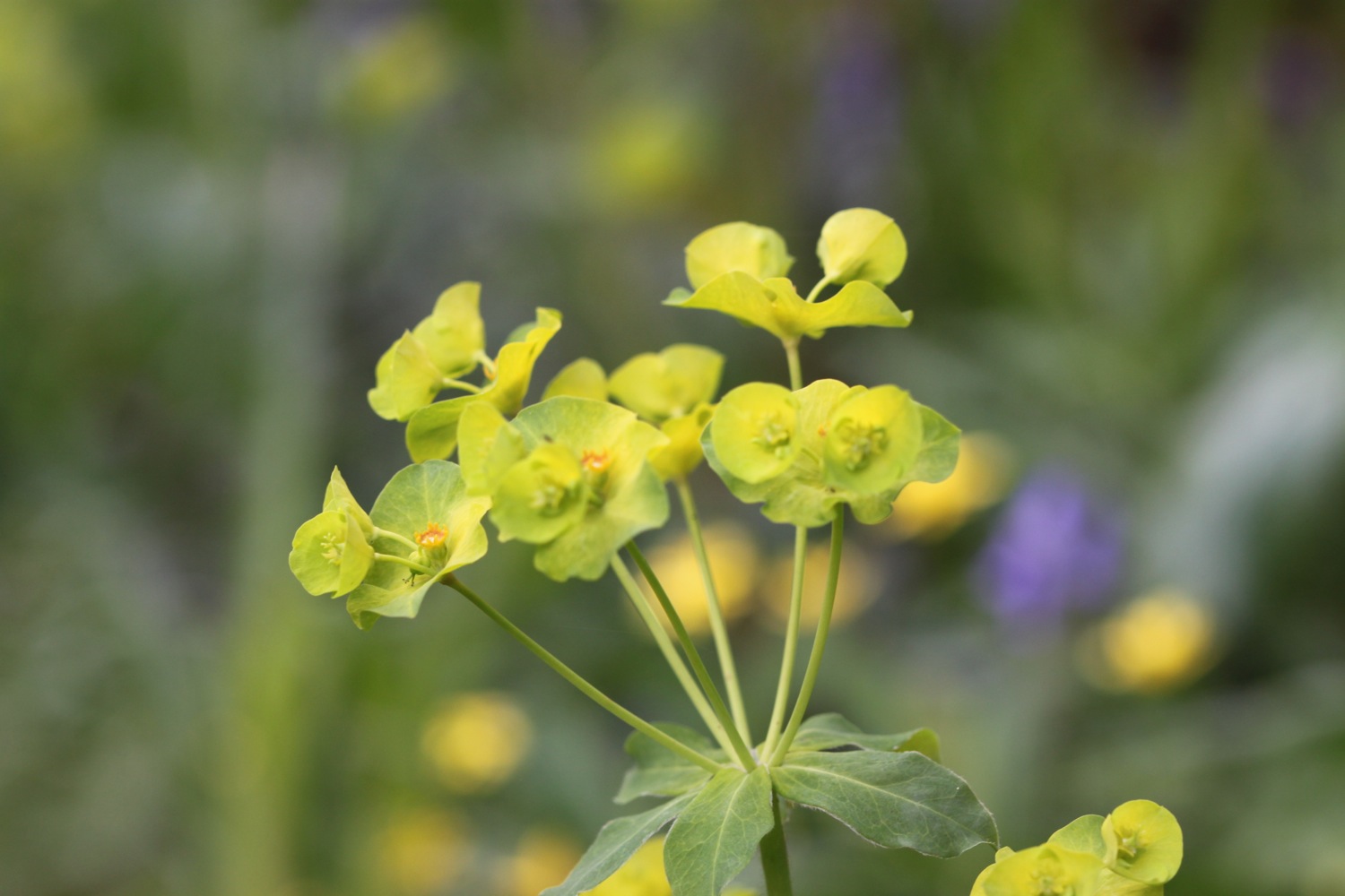
trig point
I walk along East Titchberry Cliff which rounds Shipload Bay and I have lovely views to Hartland Point and for the first time this week I can see Lundy! There's no haze obscuring it.
view to hartland point
A grassy track climbs above Shipload Bay and passes on the seaward side of Hartland Point Radar, originally built during the Second World War. It is now used for air traffic control of military and civilian aircraft.
hartland point radar
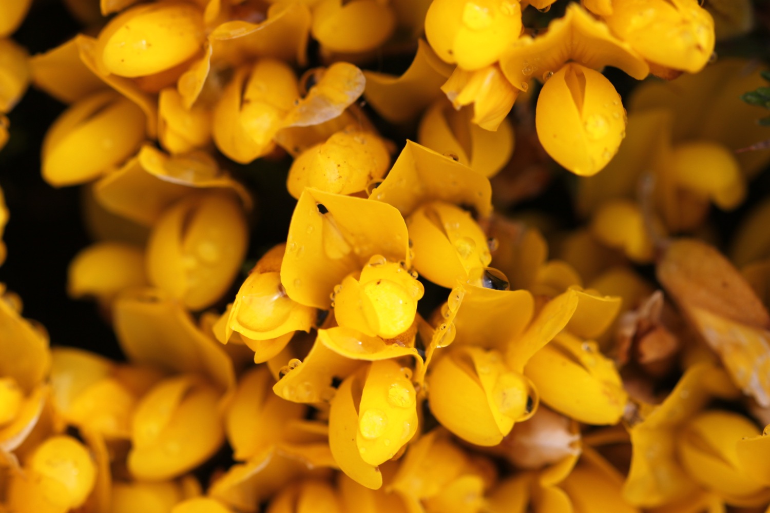
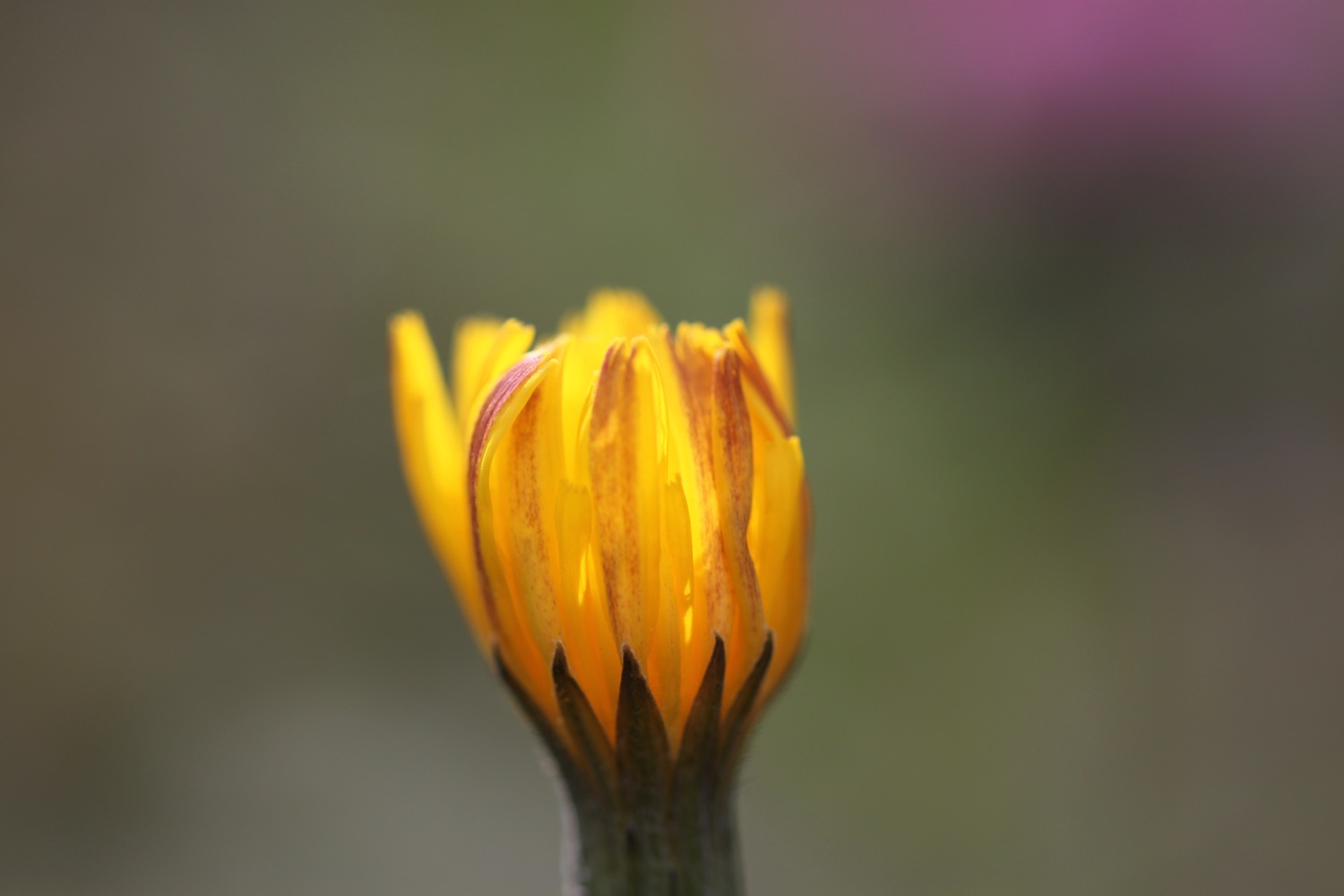
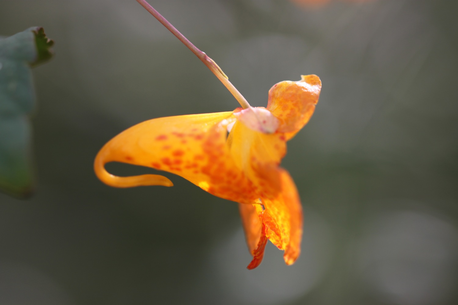
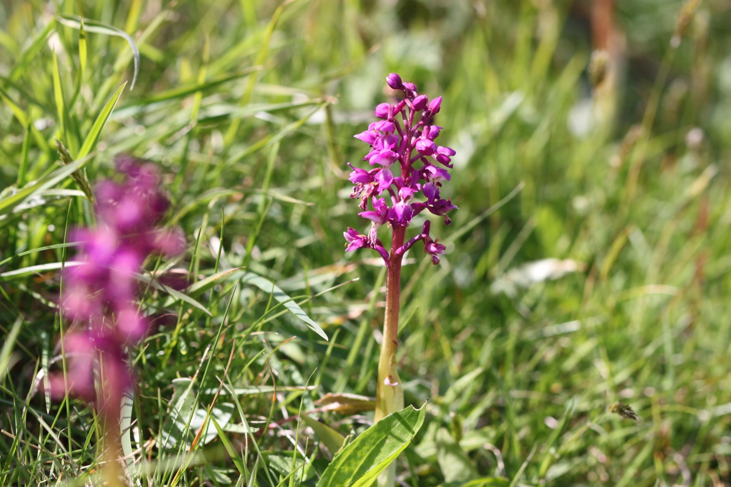
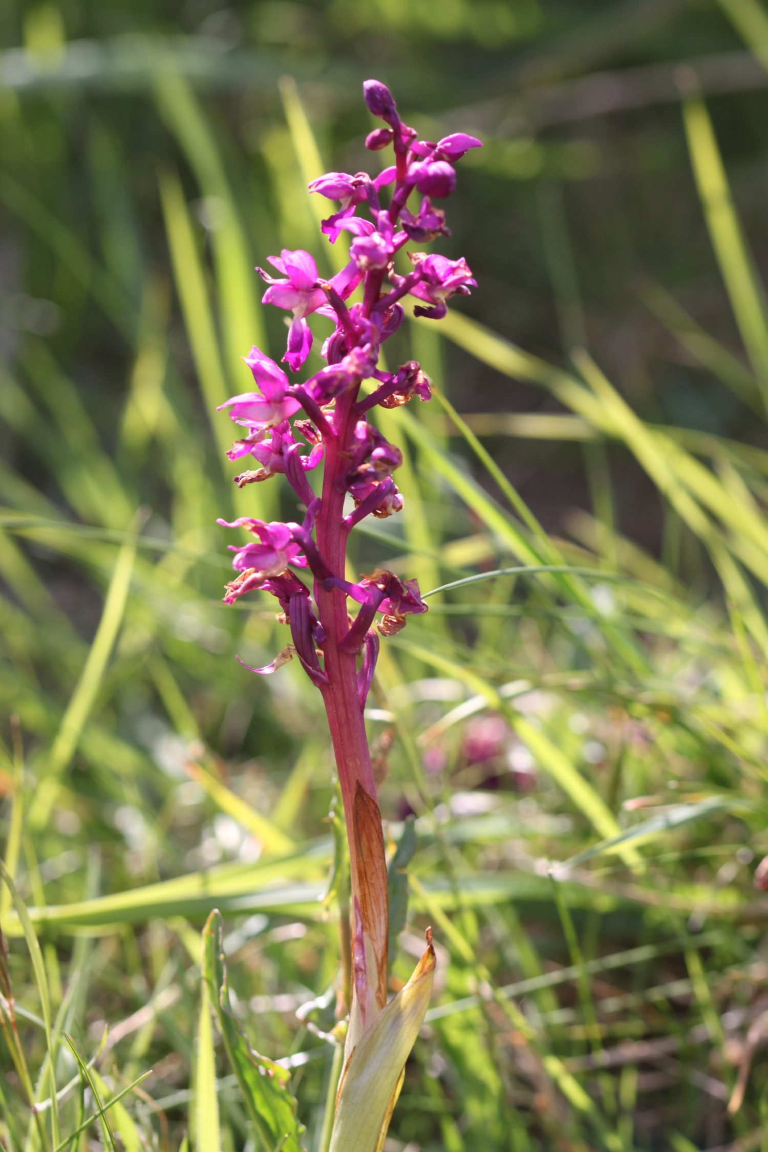
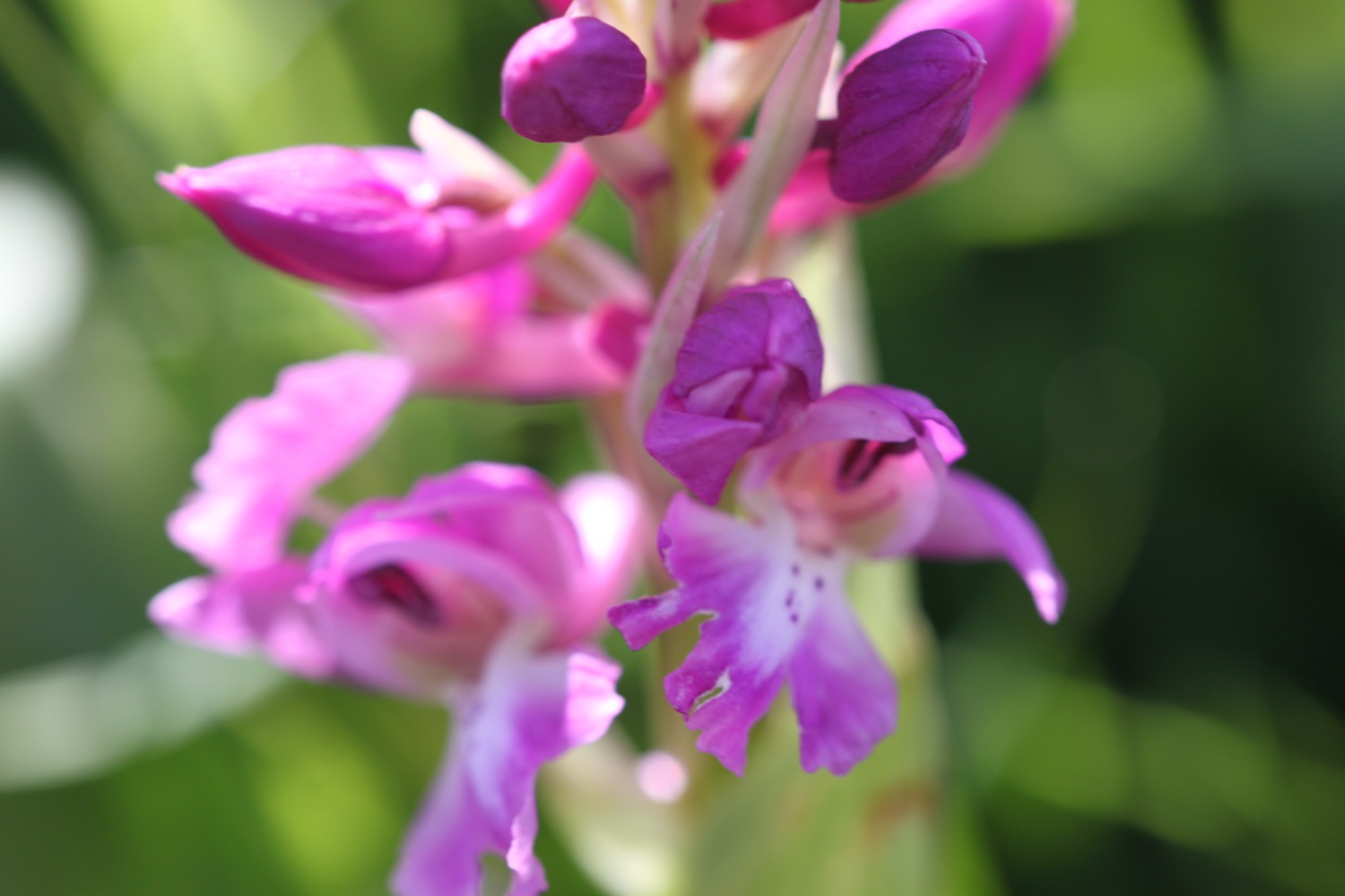
The radar is surrounded by fencing and barbed wire and I can see some orchids insde, tantalizingly out of reach. However, I round the corner and come across some much more accessible orchids just next to the path.
I walk down to the car park where there is a refreshment hut and head towards Hartland Point Lighthouse, a grade two listed building. The lighthouse is still listed on the Trinity House website but was sold in 2011 and is now in private ownership.
hartland point lighthouse
The path now changes direction and starts to head southwards and becomes a lot rougher and rockier and the season suddenly seems much more advanced.
I pass a memorial to the ship Glenart Castle, torpedoed by a U-boat in 1918.
glenart castle memorial
“In proud and grateful memory of those who gave their lives in the hospital ship Glenart Castle.”
I head over Upright Cliff before dropping into a valley and crossing a footbridge. I climb out of the valley and drop into another one behind Damehole Point where the views over Hartland Quay and towards Cornwall are amazing.
view towards cornwall
rock!
I climb steps up a steep slope and then drop down into another valley and climb again.
I descend into a valley again - this is becoming familiar! - and walk inland past a house and cross a stone bridge over the Abbey River. A little further upriver can be found Hartland Abbey (@HartlandAbbey), a former abbey and now the family home of the Stucley family.
view towards hartland quay
I head back out towards the coast and head across Warren Cliff where there is a square ruined tower and sheep grazing the grass. I can see inland towards the Church of Saint Nectan in the hamlet of Stoke.
sheep between arch
I pass Rocket House to reach a road and from here it is a short walk along a track to reach the Hartland Quay Hotel. I head down the road to Hartland Quay passing the Hartland Quay Hotel and the Wreckers' Retreat Bar.
wreckers' retreat bar
The quay was originally built in the 16th century but swept away in 1887. My walk is at an end and I enjoy the small sandy beach here and marvel at all of the folded rocks.
hartland quay
folded rocks
I trudge back up past the Hartland Quay Hotel again and head for my lift in the car park above the hotel.
That's my walking over for the week!
There's only one way to end the day and that's with a cold bottle of Sharp's Brewery Doombar.
FLORA AND FAUNA
Flora and fauna encountered on the walk today includes :-
- swallows
- donkeys
- pheasants
- cows
- squirrels
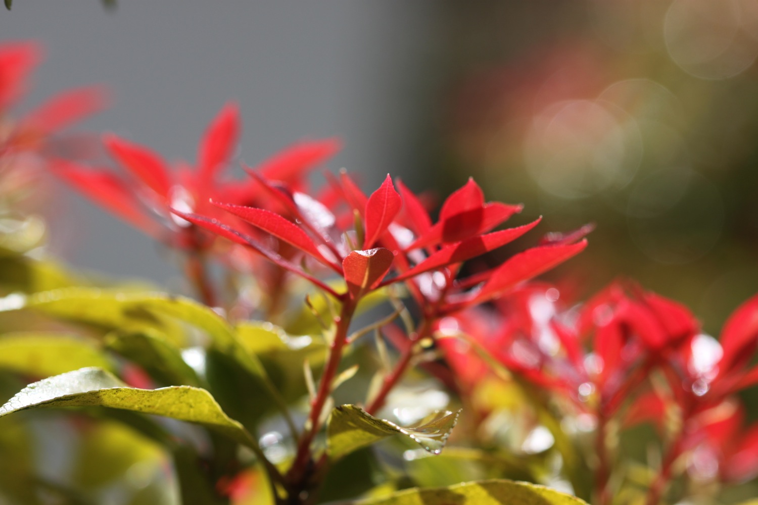
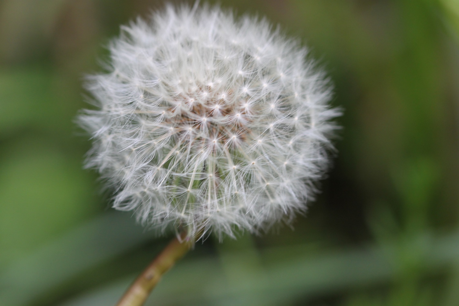
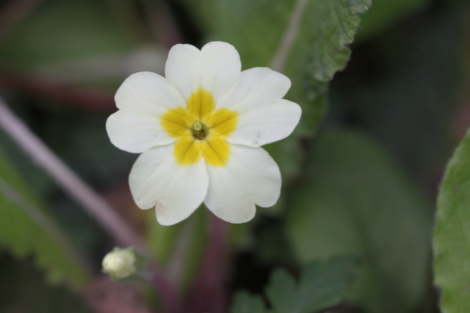
- primroses
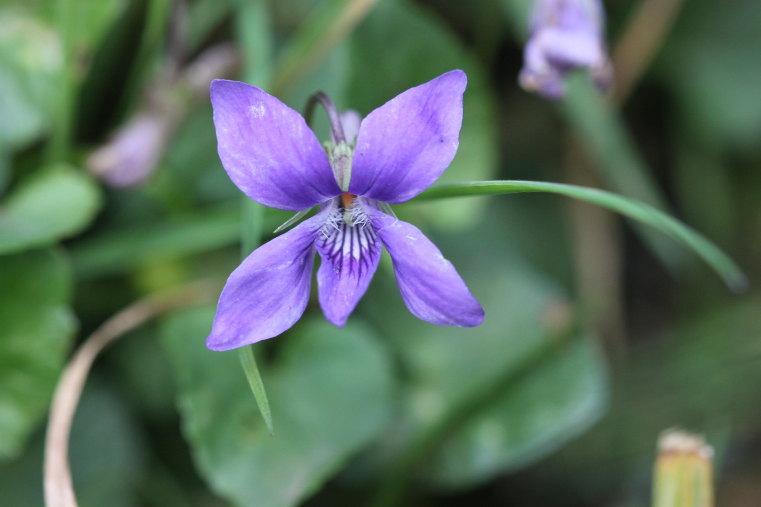
- bluebells
- japanese knotweed
- chiff chaffs
- wrens
- chaffinches
- wild garlic
- holly
- speckled wood butterflies
- peacock butterflies
- skylarks
- a wall brown butterfly
- sheep

PODCAST
The podcast of today's walk is now available. You can subscribe via the iTunes store or listen using the player below.

MARKS OUT OF TEN?
According to my phone I've walked 11.5 miles today which amounts to 27000 steps. EXACTLY 27000 steps!!

Despite a short shower at the start of the day the weather has been great and the walking has been fantastic. Coast path walking doesn't get much better than this. 10 out of 10.
view towards cornwall