woolacombe to braunton
south west coast PATH
saturday, 2nd may 2015
Today's weather forecast looks to be on the ropey side and I can expect rain, wind and grey skies. It's not going to be a great day for photographs.
Bideford low tide 12:25
Bideford high tide 18:00

It's been far too long but I'm finally back out on the South West Coast Path after an 11 month gap.
A lot of today's walk will be spent trudging along sandy beaches in manky weather, starting with Woolacombe Sand, followed by Putsborough Sand, then Croyde Sand and finally a three mile trudge along Saunton Sands. It's a hard life but someone has to do the walking!
I start the day at Woolacombe where, except for a few dog walkers and joggers, I have the whole beach to myself, Hang on a sec though! There's no way that wind is just 20mph as predicted. It's blowing a gale! I strap my hat on and head towards the sea before trudging along the beach for a good two miles.
a dank and dreary woolacombe
footsteps on woolacombe beach
The far end of Woolcaombe Sand leads directly into Putsborough Sand. At the end of the beach I leave the sand behind me and pass the refreshment hut before turning right onto a track over Napps Cliff. The views looking back over Putsborough Sand to Woolacombe are usually amazing but not so much today due to the grey skies.
view back to woolacombe
A grassy path goes through several stiles and onwards towards Baggy Point and there are signs of sheep with wool caught in the gorse and pooh everywhere. I hear the sheep but never actually see them. The path becomes a lot rockier around Baggy Point before heading back in the opposite direction towards Croyde Bay where it's difficult to stay upright in the strong wind.
baggy point
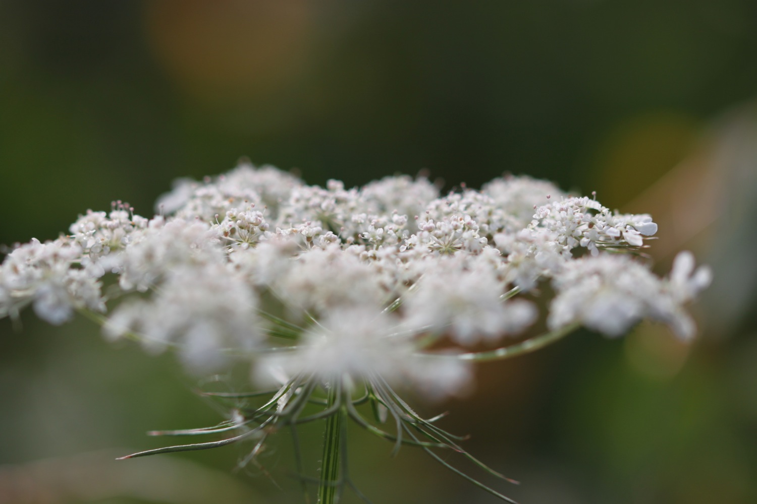
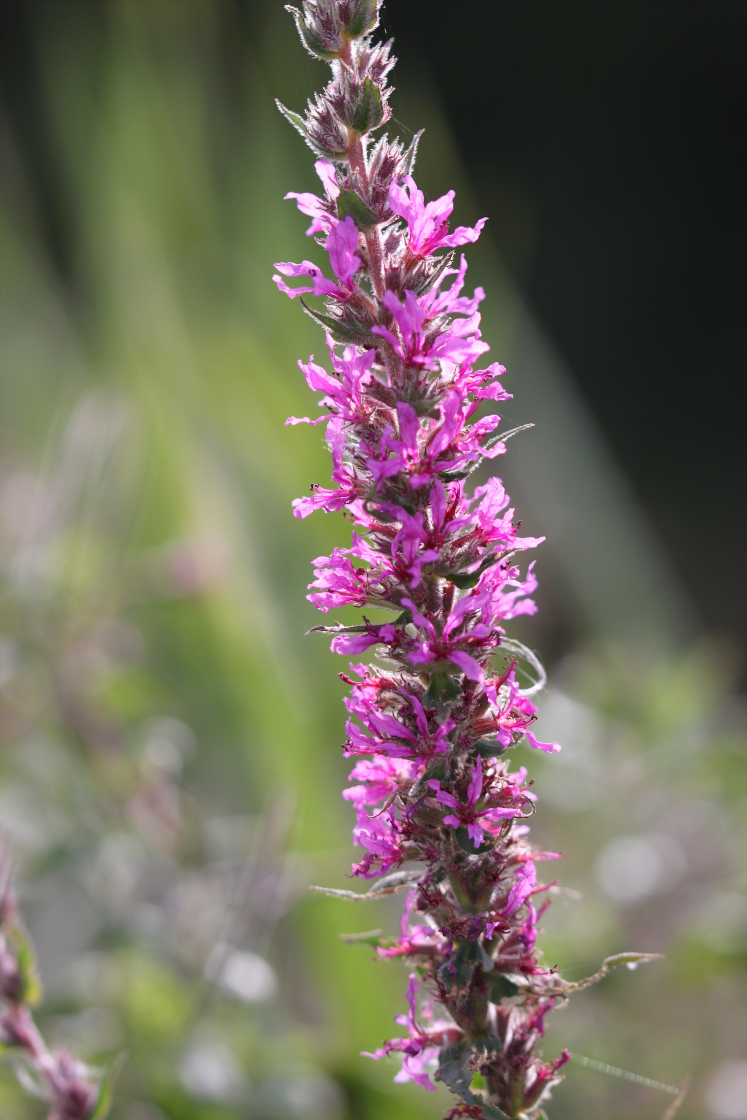
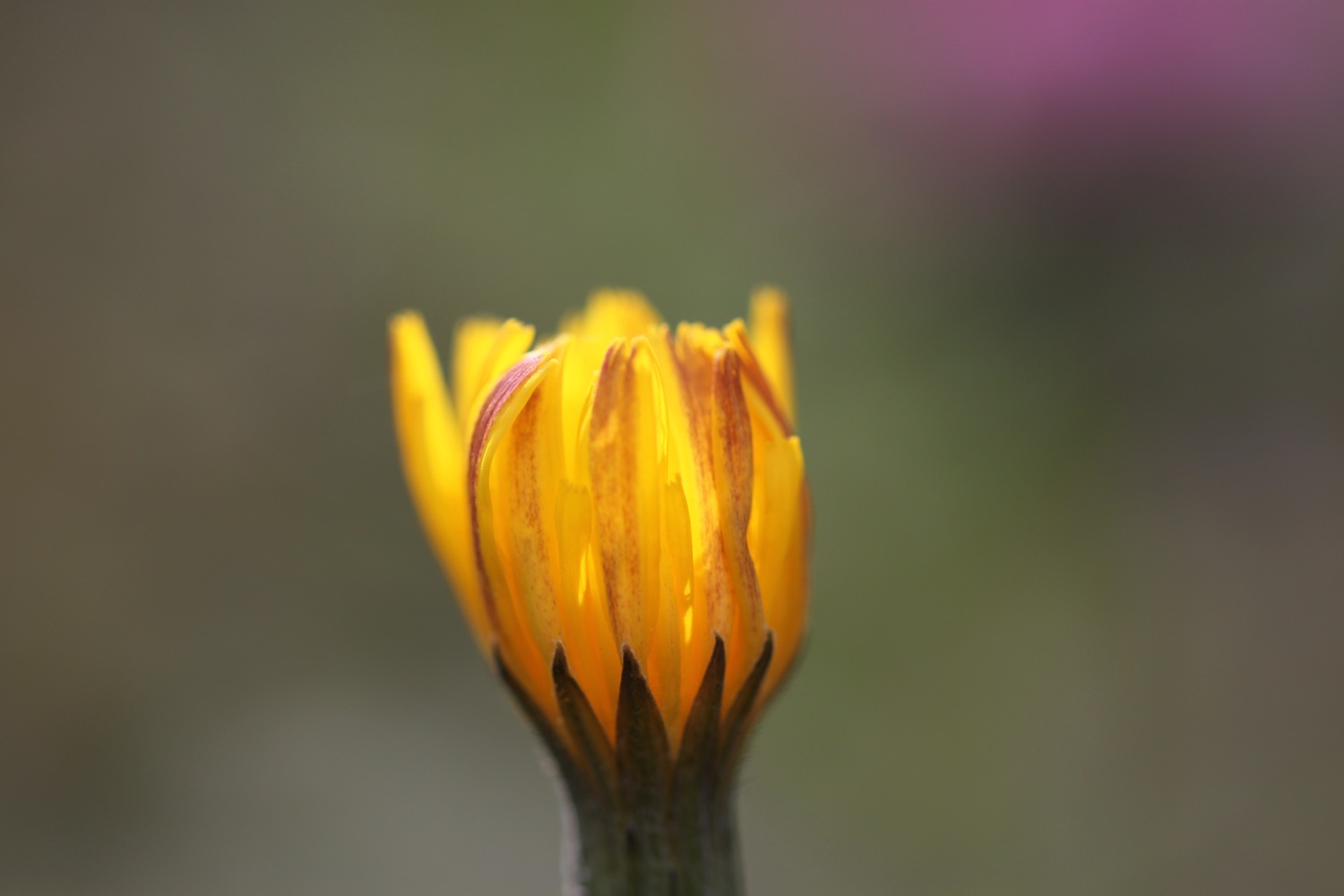
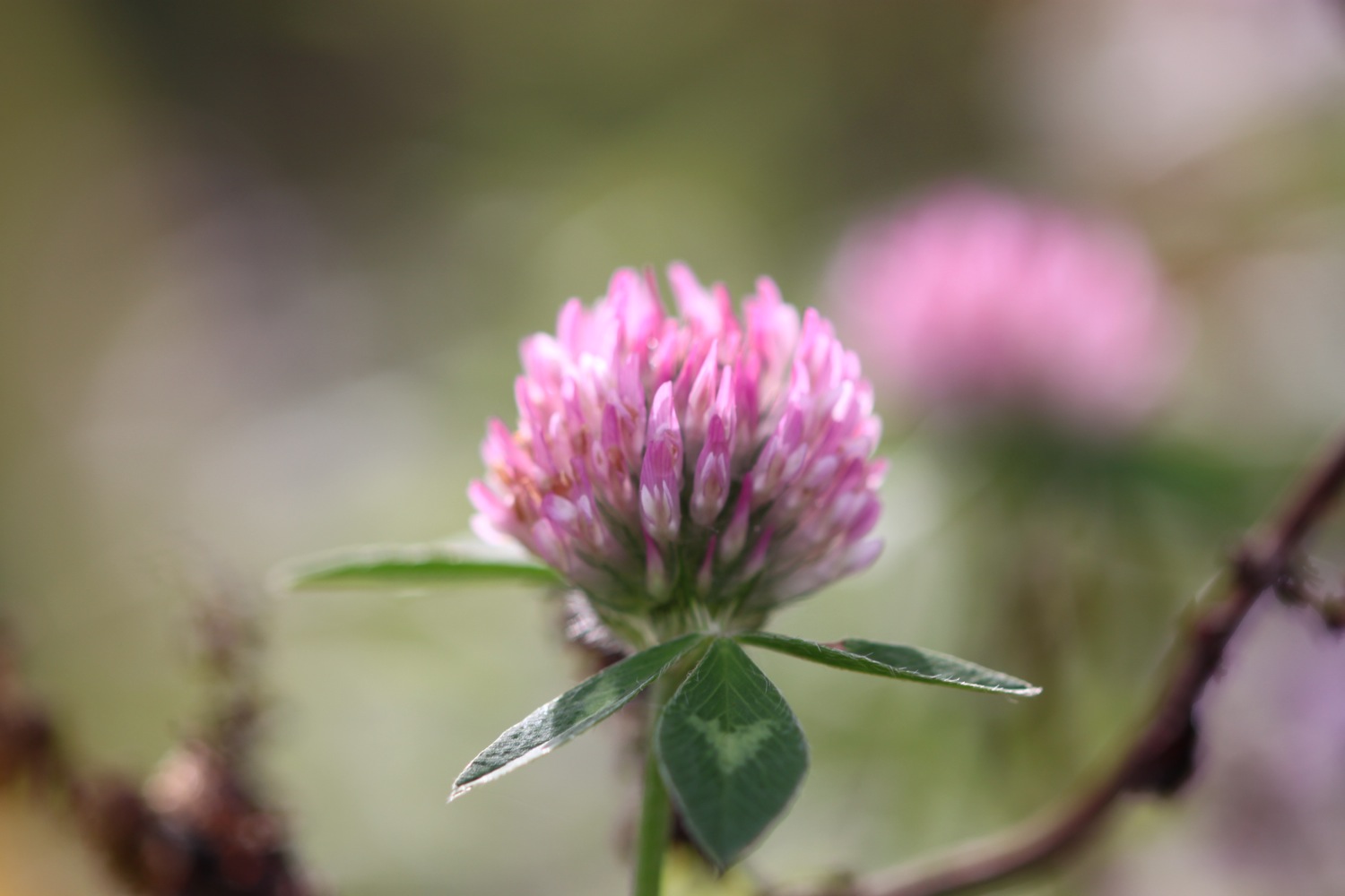
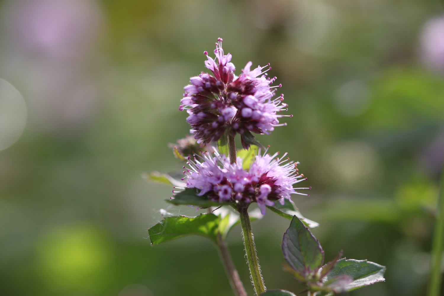
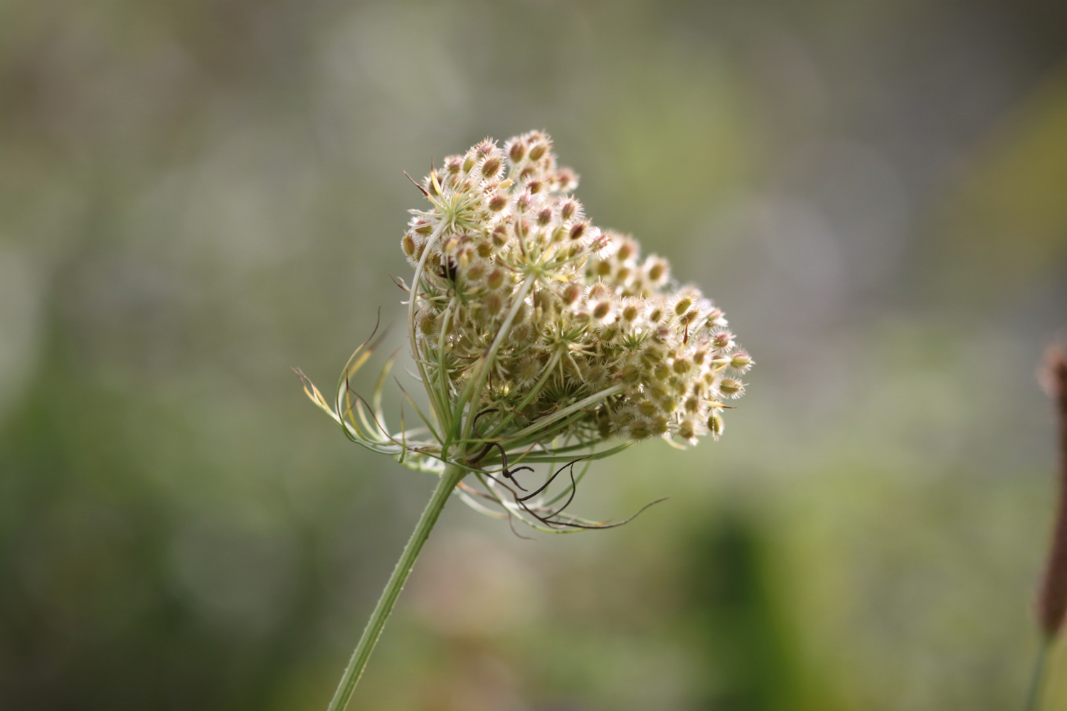
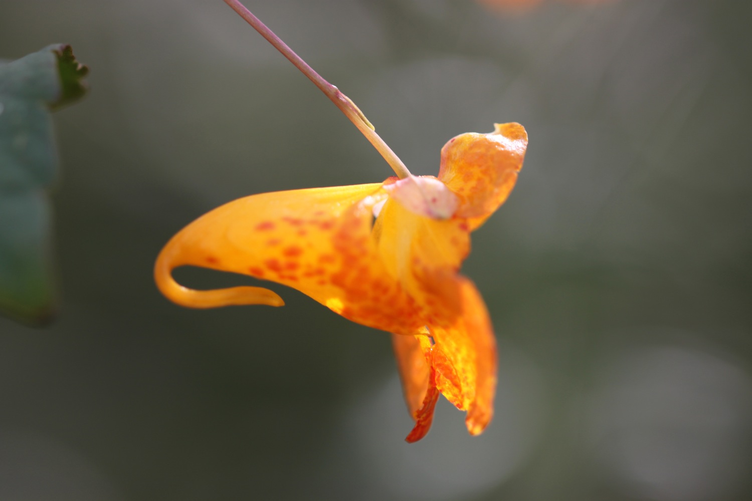
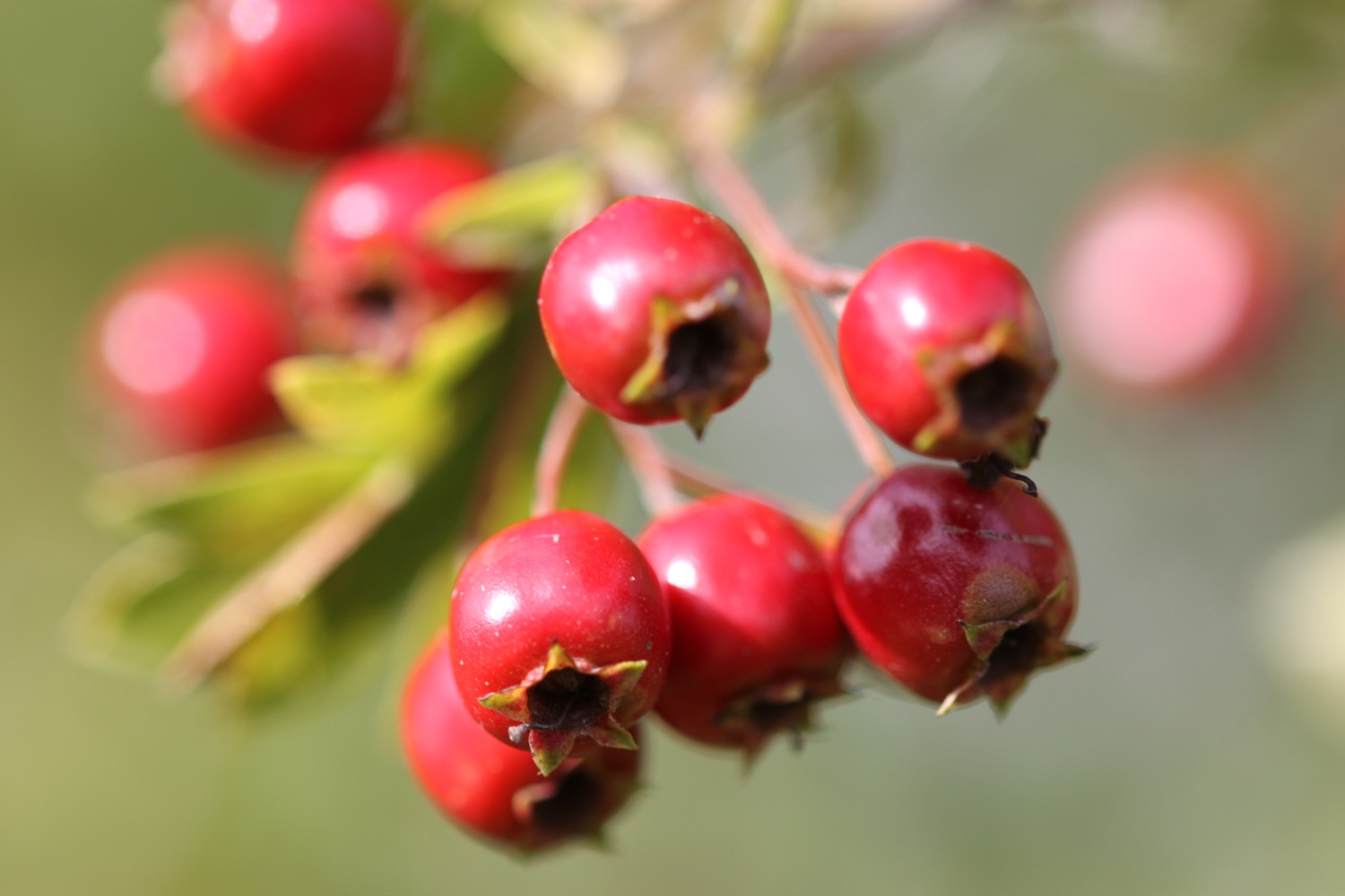
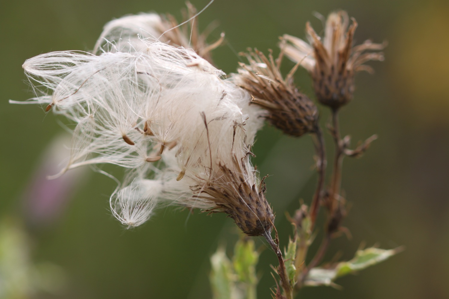
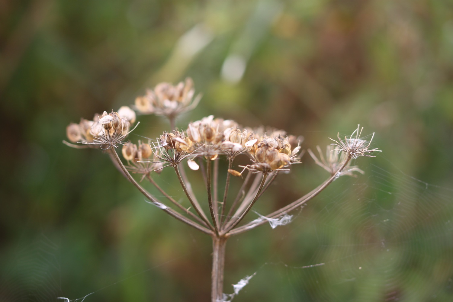
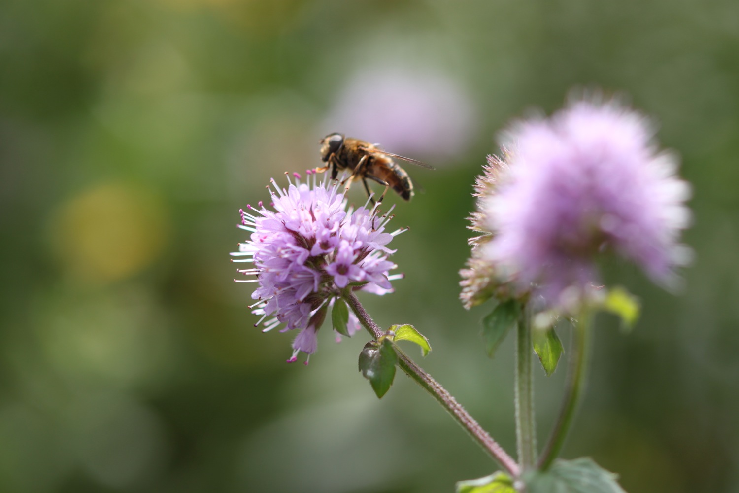
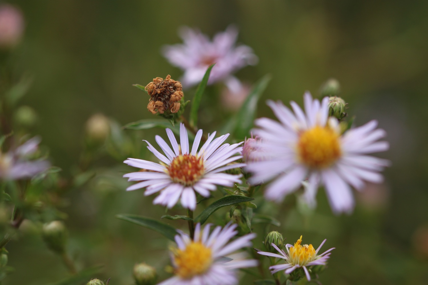
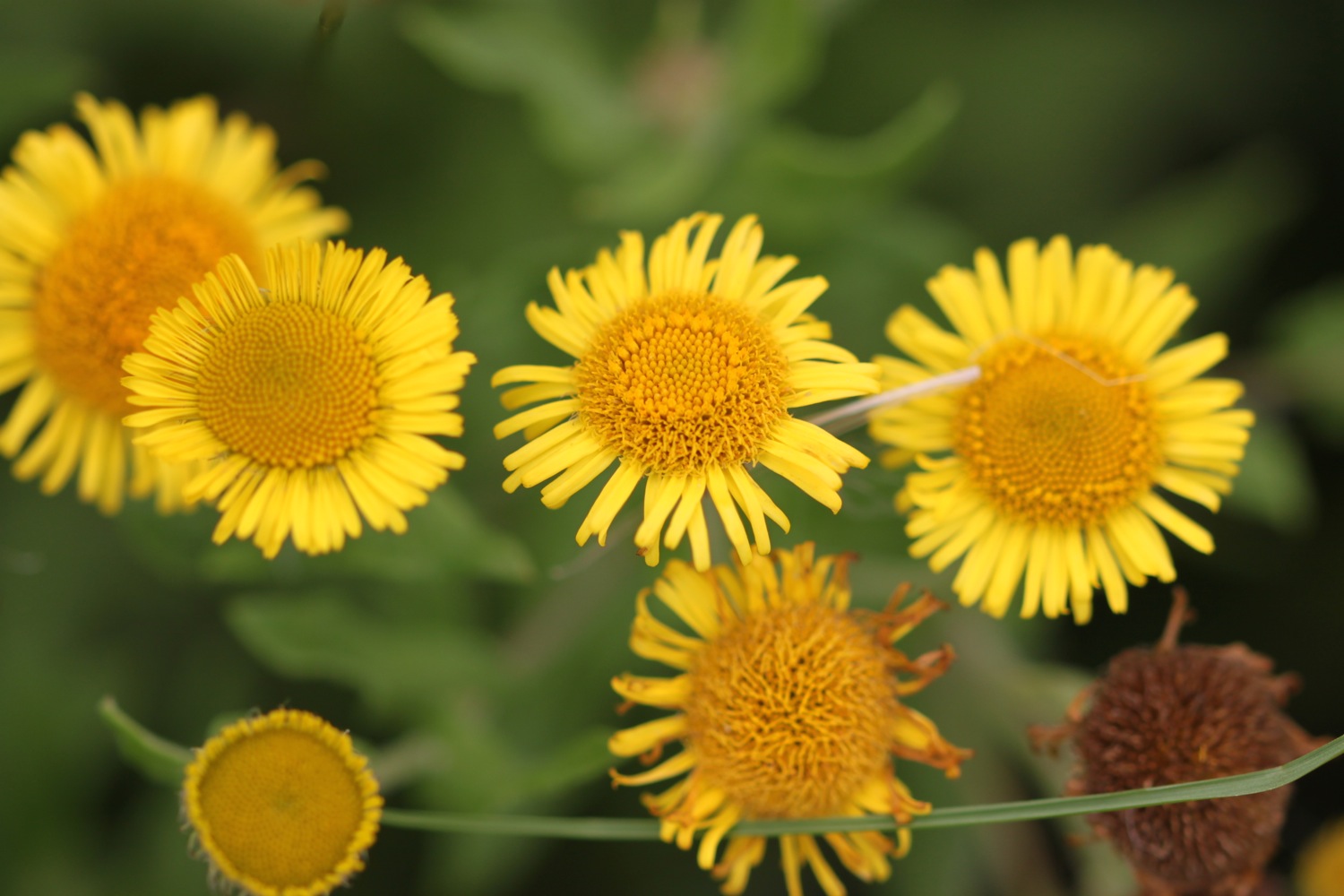
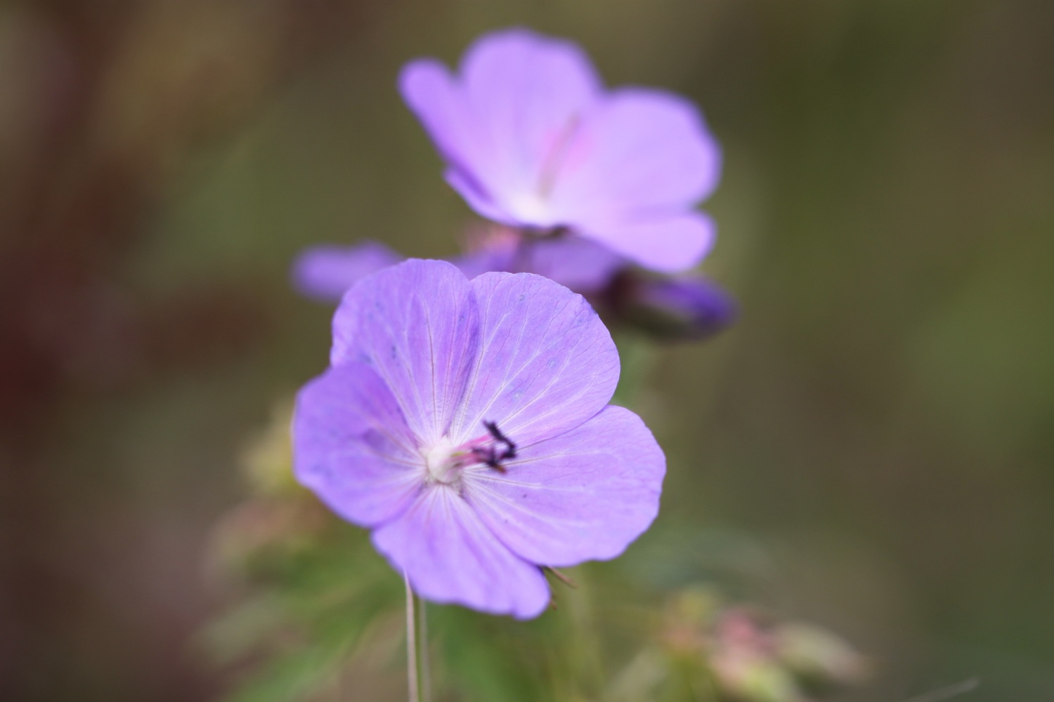
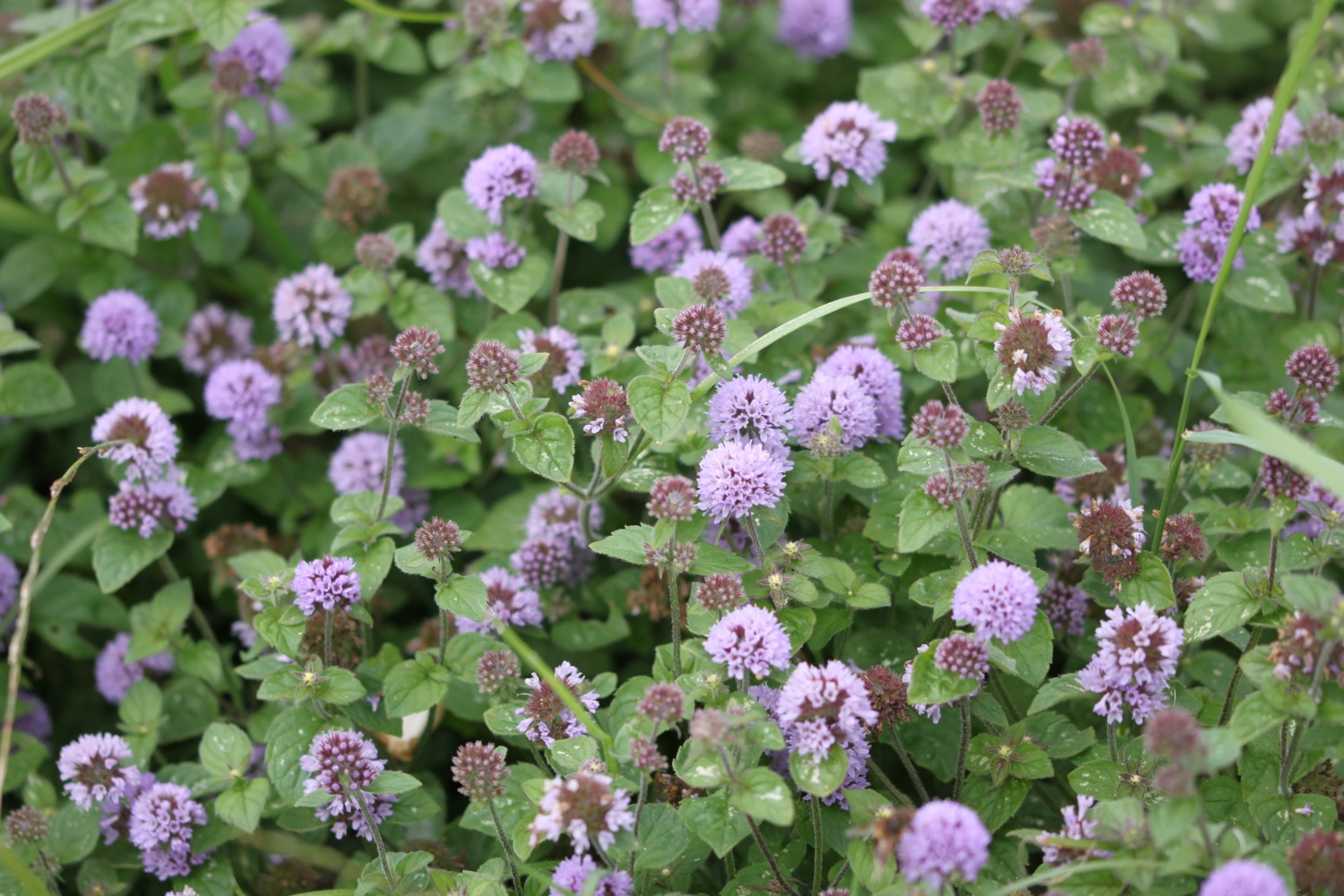
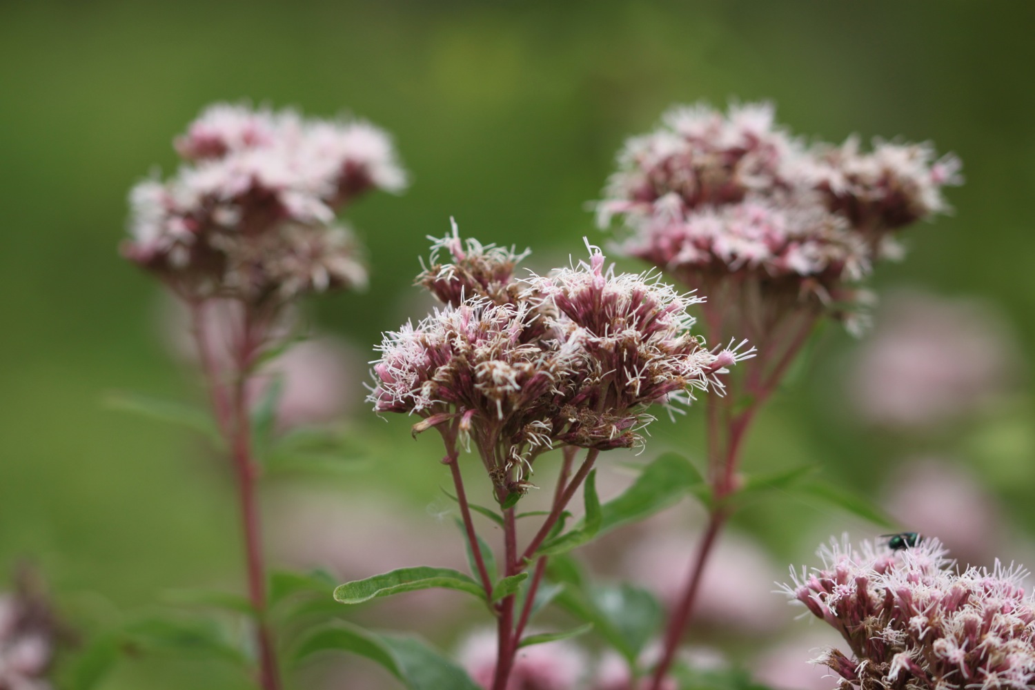
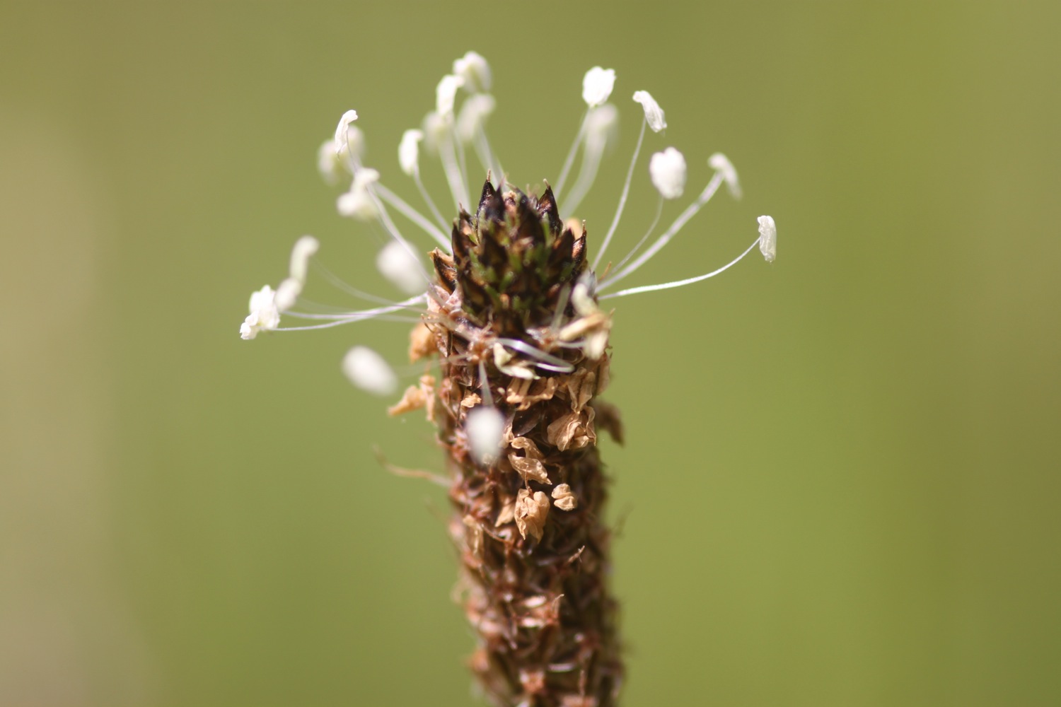
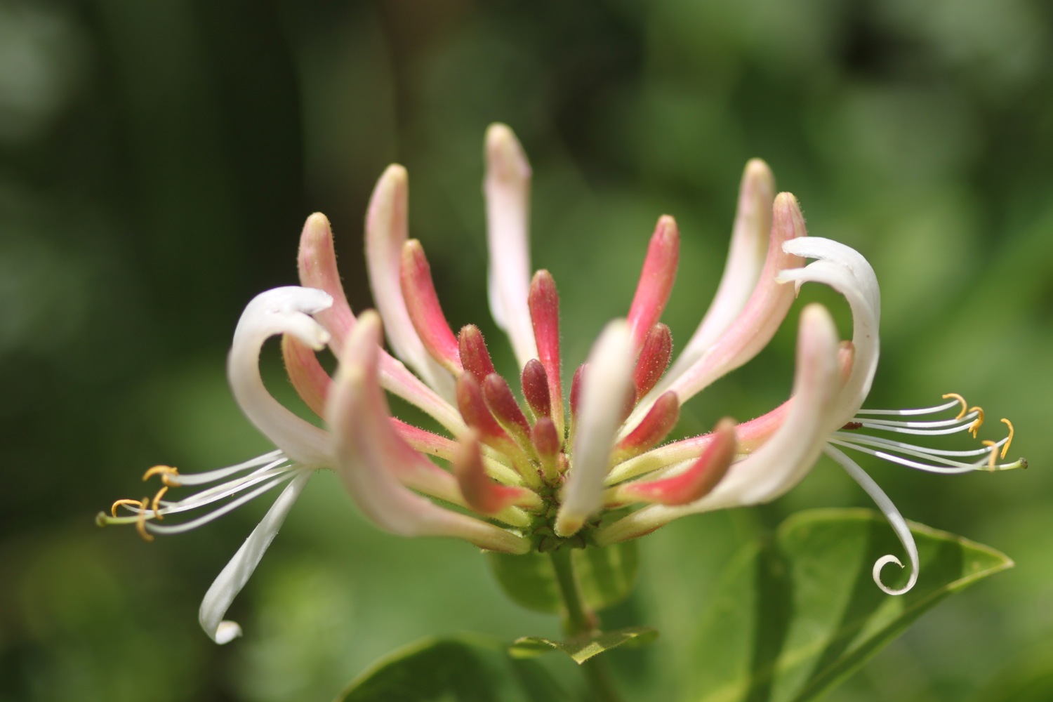
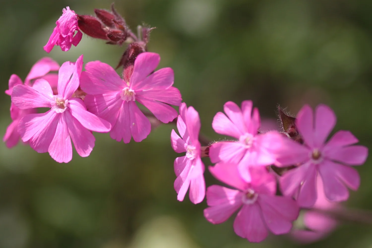
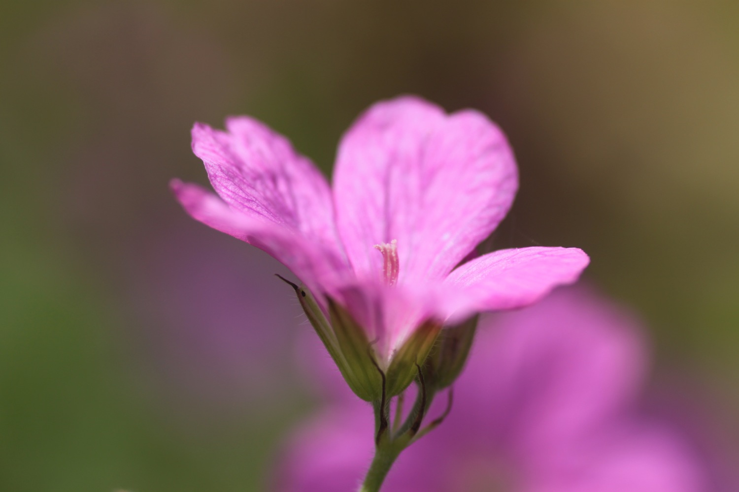
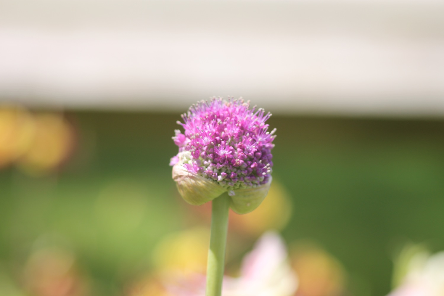
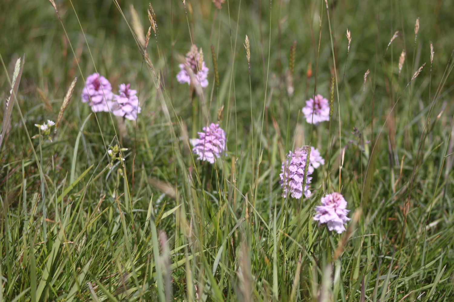
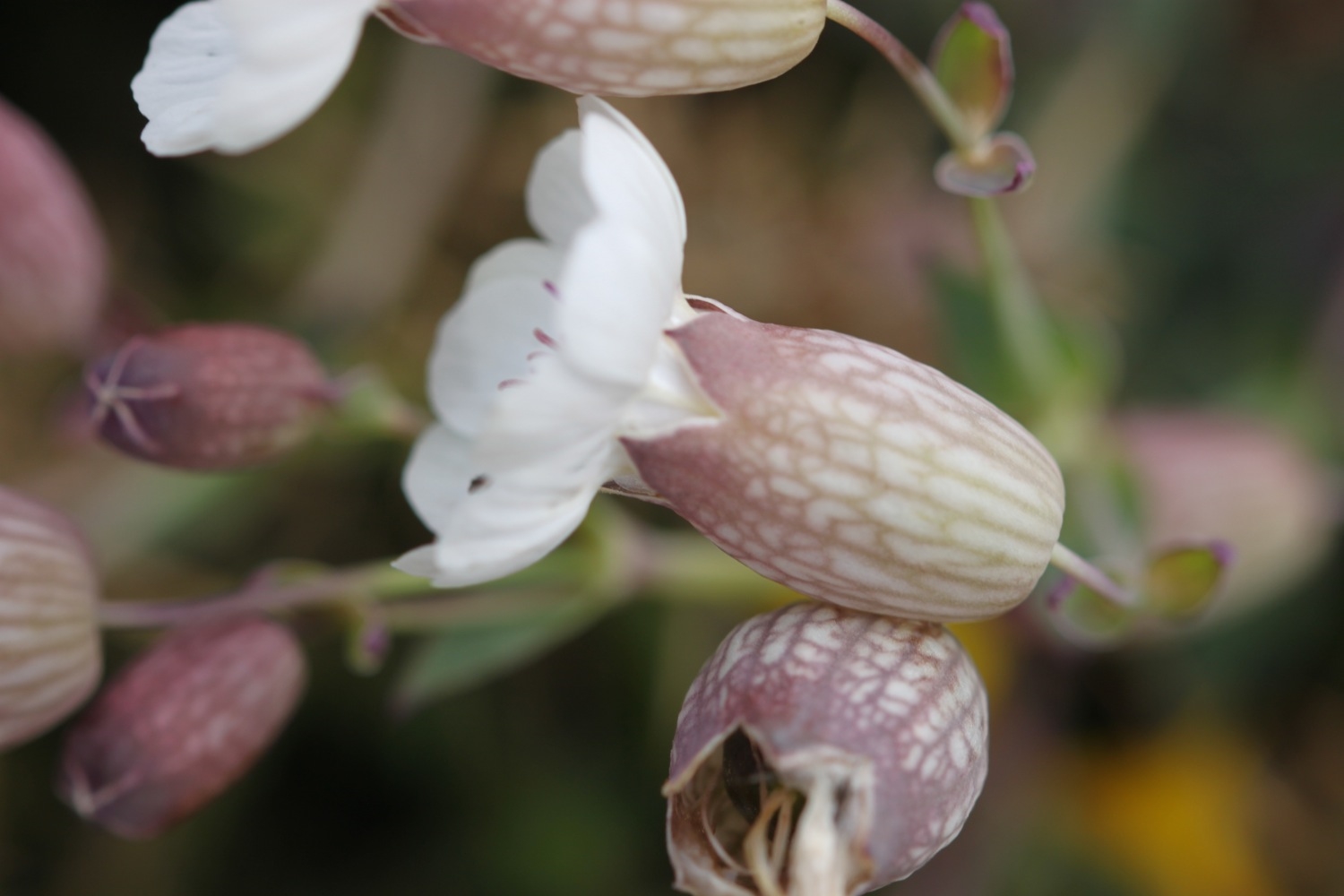
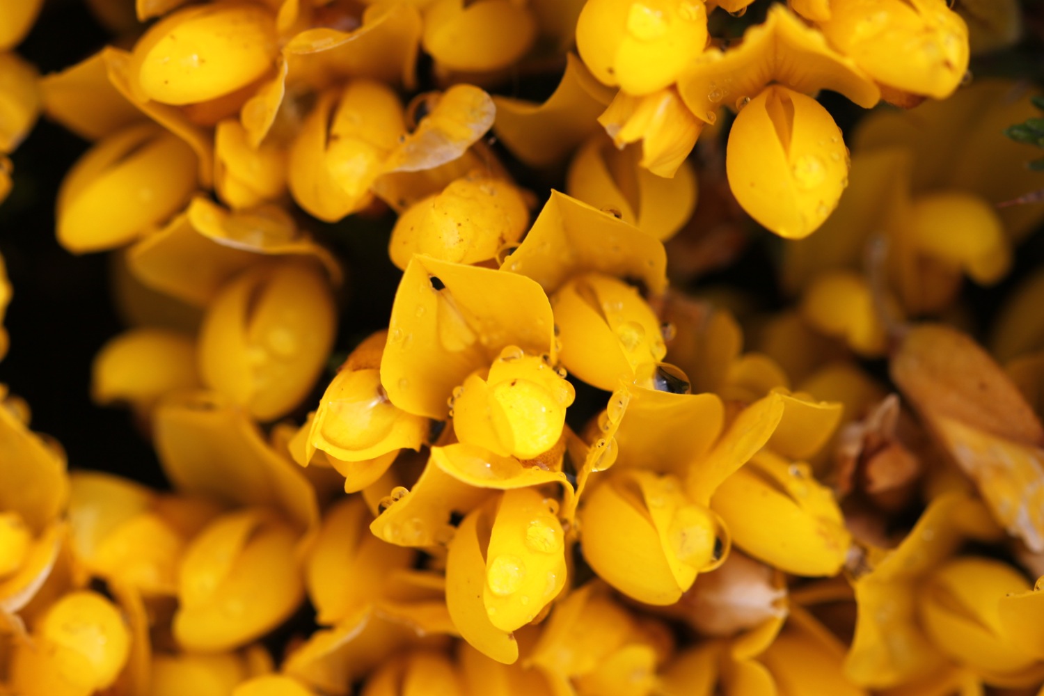
I pass wild flowers on the way to Croyde including bladder campion, gorse and sea thrift.

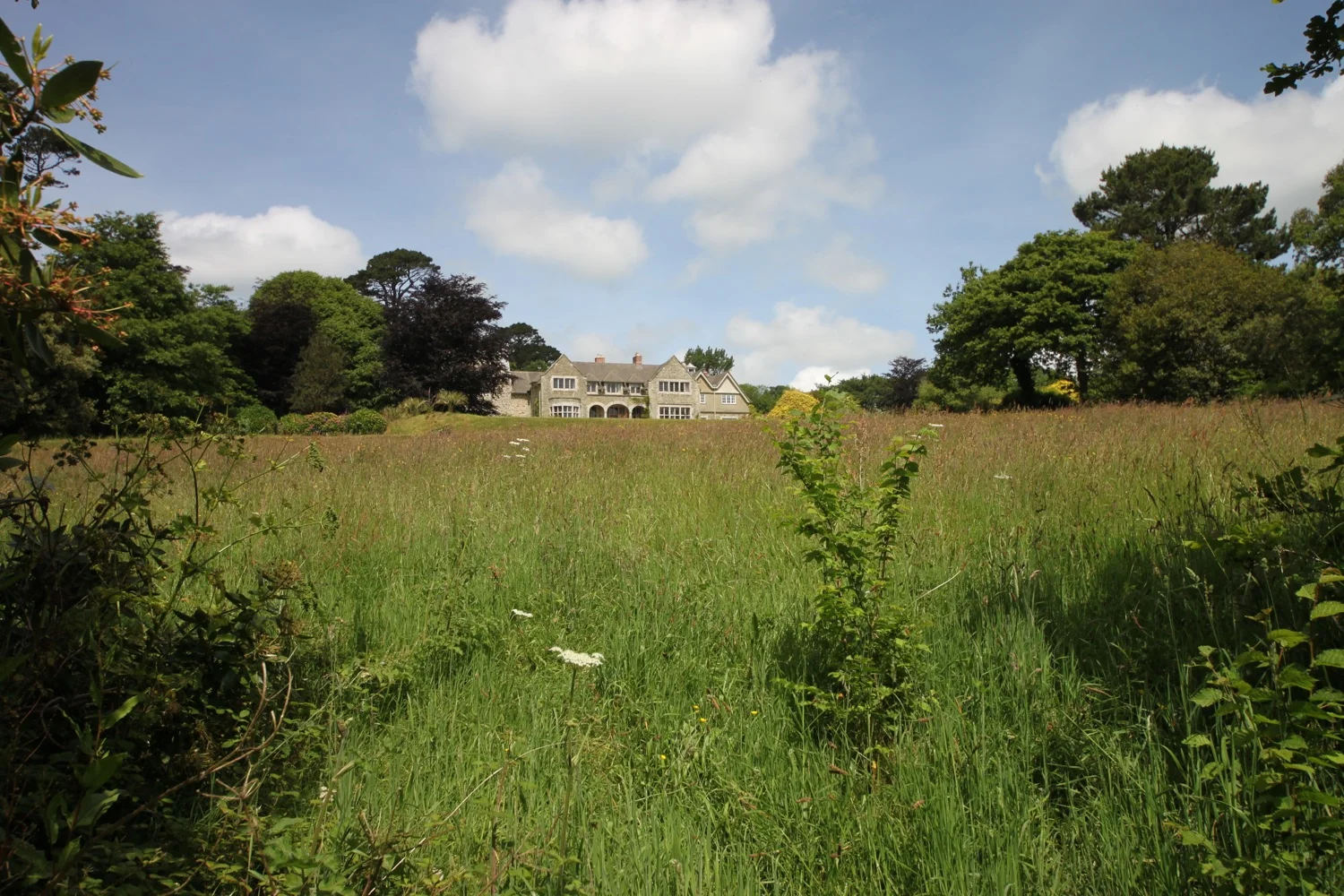
I pass a restored pond, built by the Hyde family who were keen conservationists and come across red campion and bluebells. The bluebells look suspiciously like spanish bluebells rather than our more delicate native bluebells.
bluebells
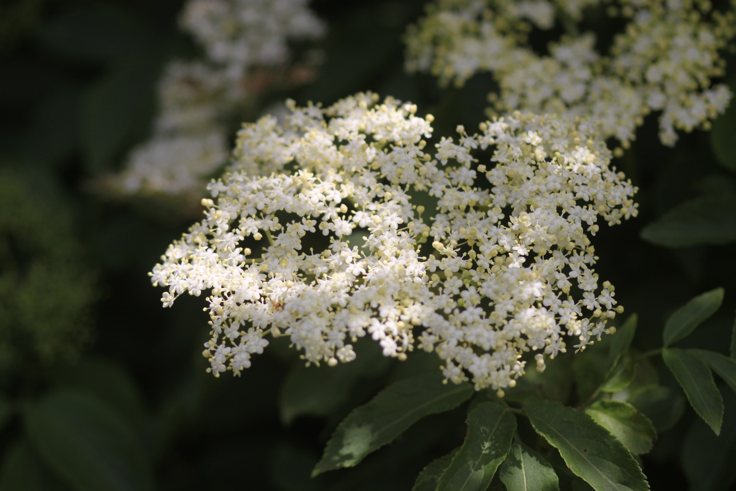
whale bones
The path passes a preserved whalebone of a large whale that was washed up on Croyde beach in 1915. They were preserved by the Hyde family who gave Baggy Point to the National Trust in May 1939.
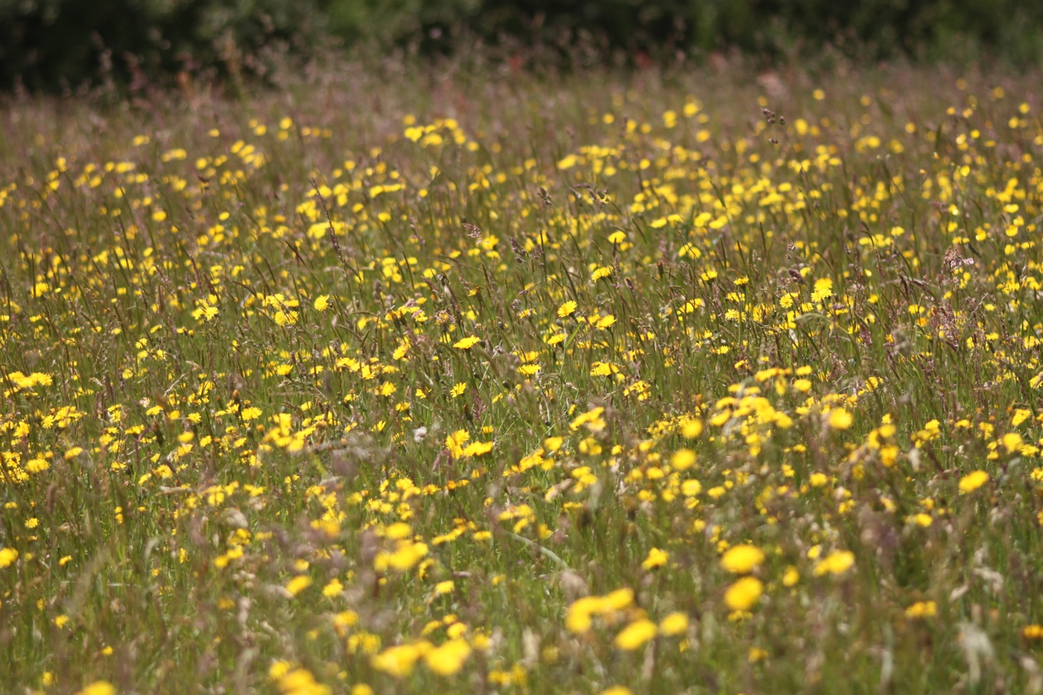
The path joins the road around Croyde Bay but I duck down on to Croyde Sand as soon as I can and head across the sandy beach. It's extremely windy. Although it's still early it's quite busy and there are plenty of surfers enjoying the waves here as well as a load of people playing rugby.
croyde beach
At the far end of the beach I climb a flight of steps and head along the coast before having to walk along the road and then cross the road to follow a grassy path above the road.
I now have lovely, but grey, views overlooking the large expanse of Saunton Sands before climbing down to the road at the Saunton Sands Hotel.
view over saunton sands
I usually get lost here but this time manage to find the path behind the hotel which even has a coast path sign I haven't noticed before. The path passes a tennis court, adventure playground and putting greens before dropping down to the beach cafe and car park. The official coast path heads inland and across a golf course which is crazy when there are three miles of sandy beach ahead. I flip a coin and the beach wins!
There are colourful beach huts at the start of Saunton Sands which look shabbier than I remember them.
colourful beach huts
It is quite busy but I soon leave the crowds behind wandering down miles to the sea and then walking along the vast beach.
saunton sands
Braunton Burrows lies behind the beach and it is well worth an exploration if you have the time. Braunton Burrows and the surrounding coastline were declared Britain's first UNESCO Biosphere Reserve in November 2002. I might try and come back later in the week.
As the beach approaches the estuary of the rivers Taw and Torridge it changes direction. Blimey! It's now blowing an almighty gale causing the sand to drift across the beach. I don't quite know how Braunton Burrows manages to survive in this wind.
At the end of Saunton Sands i rejoin the official coast path and from here it's a boring walk towards Braunton. I follow an embankment around Horsey Island, built in 1857 to reclaim the marshland. It stinks around here but the skylarks don't seem to mind. The embankment continues inland along the River Caen.
horsey island
I reach Velator Quay, a rather stinky dump and my destination for the day! Velator Quay was built in 1853 as part of the marsh reclamation scheme and was a bustling little port until the railway arrived in 1874. There are plans to turn Velator Quay into a recreation area but I didn't notice any of the work having started yet.
valator quay
Tomorrow I will return here and start to see some of the evidence of railways on the long walk to Westward Ho!
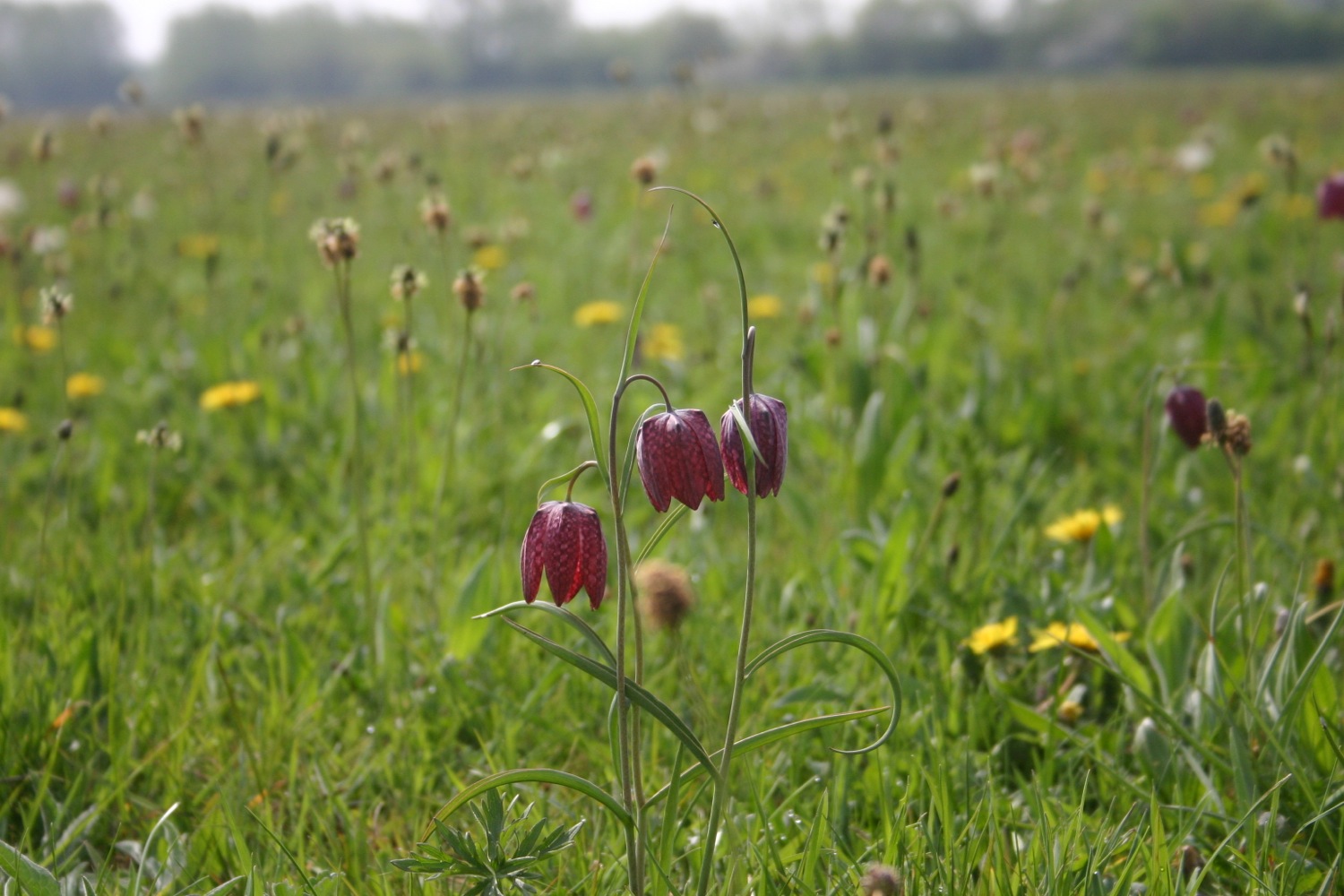
FLORA AND FAUNA
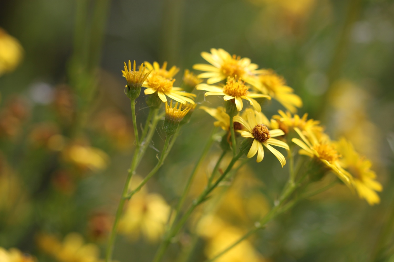
Flora and fauna encountered on the walk today includes :-
- skylarks
- swallows
- sheep
- cows
- red campion
- bladder campion
- sea thrift
- gorse
- bluebells
- dog-violets

PODCAST
Unfortunately, there's no podcast available for this walk. My recording equipment failed to stand up to the blustery conditions. You can subscribe via the iTunes store to the other podcasts.

MARKS OUT OF TEN?
According to my phone I've walked 15 miles today which amounts to 32832 steps. It's been a blustery - did I mention the wind? - and grey day today but the rain has somehow managed to stay away. Despite the stinky end to the walk it has been a thoroughly enjoyable day. 8 out of 10.
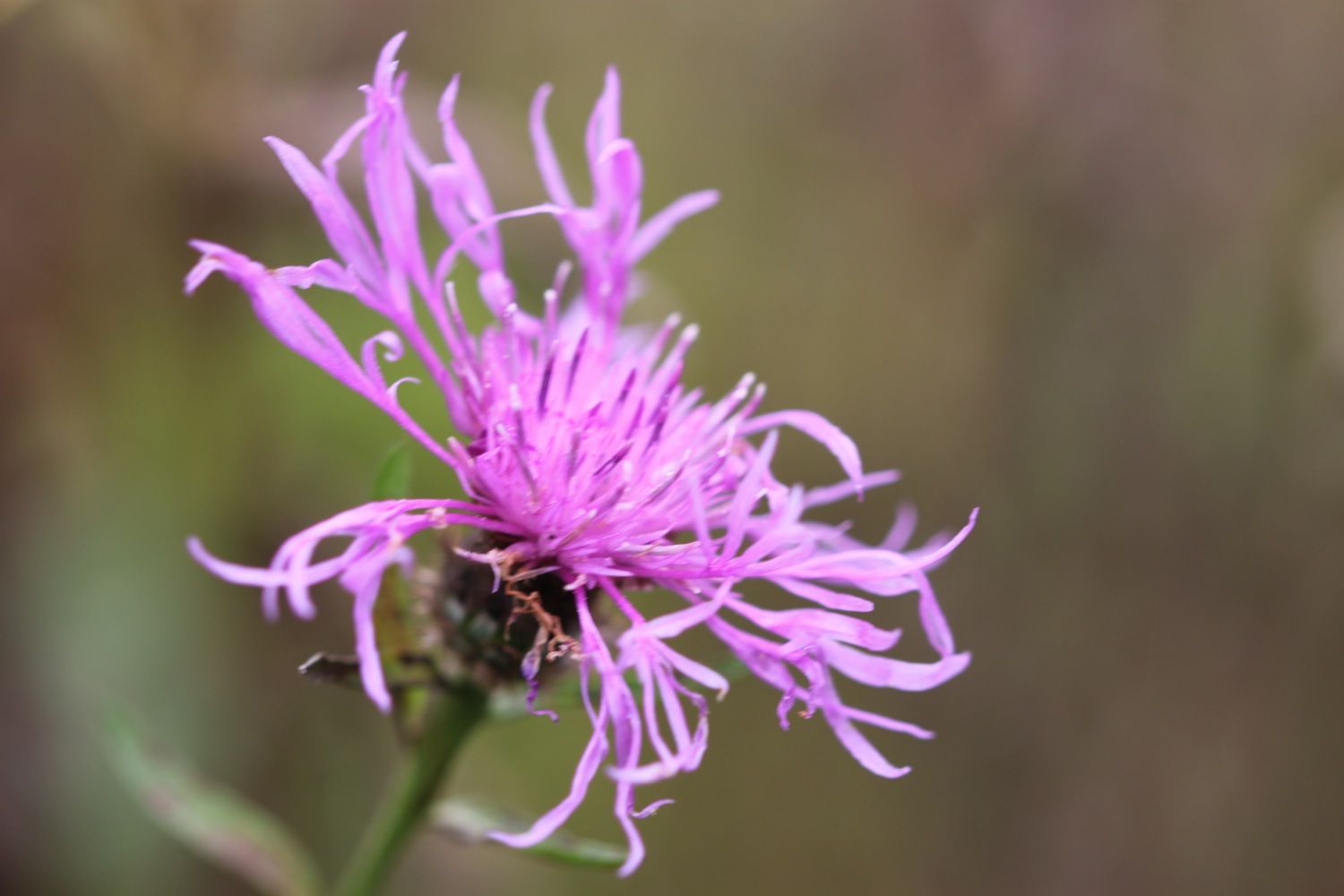
bladder campion